Elevation of Sylvia Dr, Pine Grove, CA, USA
Location: United States > California > Amador County > Pine Grove >
Longitude: -120.67629
Latitude: 38.4187115
Elevation: 775m / 2543feet
Barometric Pressure: 92KPa
Elevation Map:
Satellite Map:
Related Photos:

Blue-eyed Frog

Indian Grinding Rock
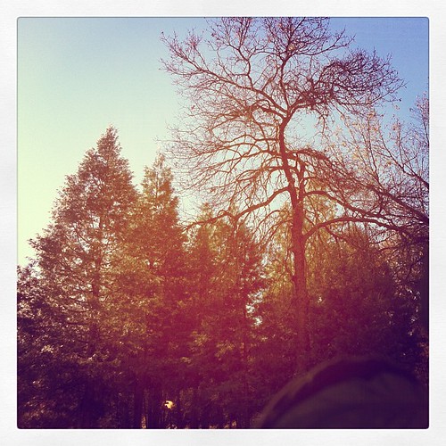
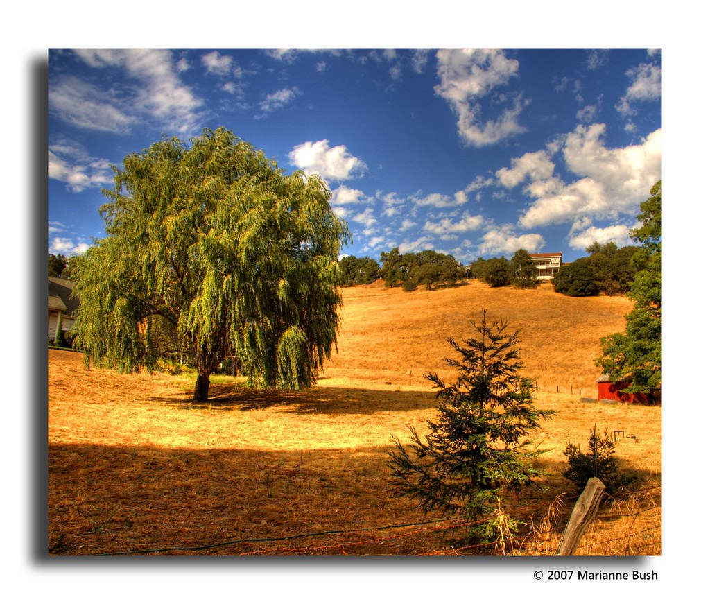
This is the view from my grandpa's front porch. I wouldn't mind waking up to this every morning. #photooftheday

Outside the Cheese Shop

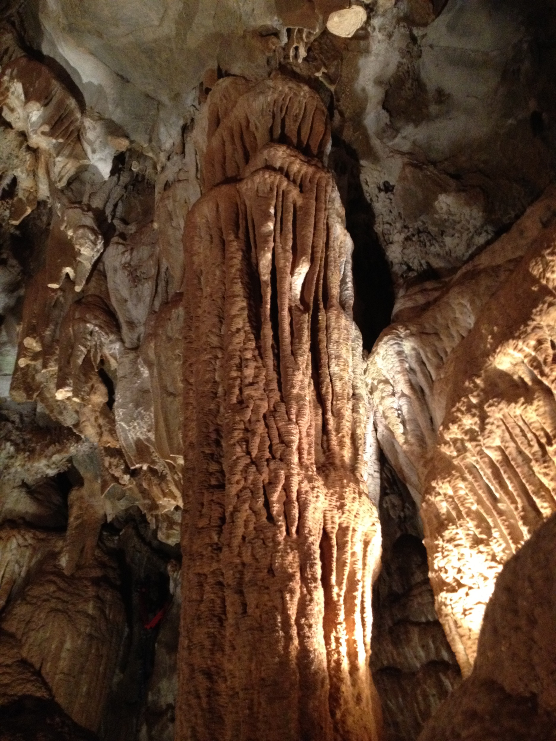
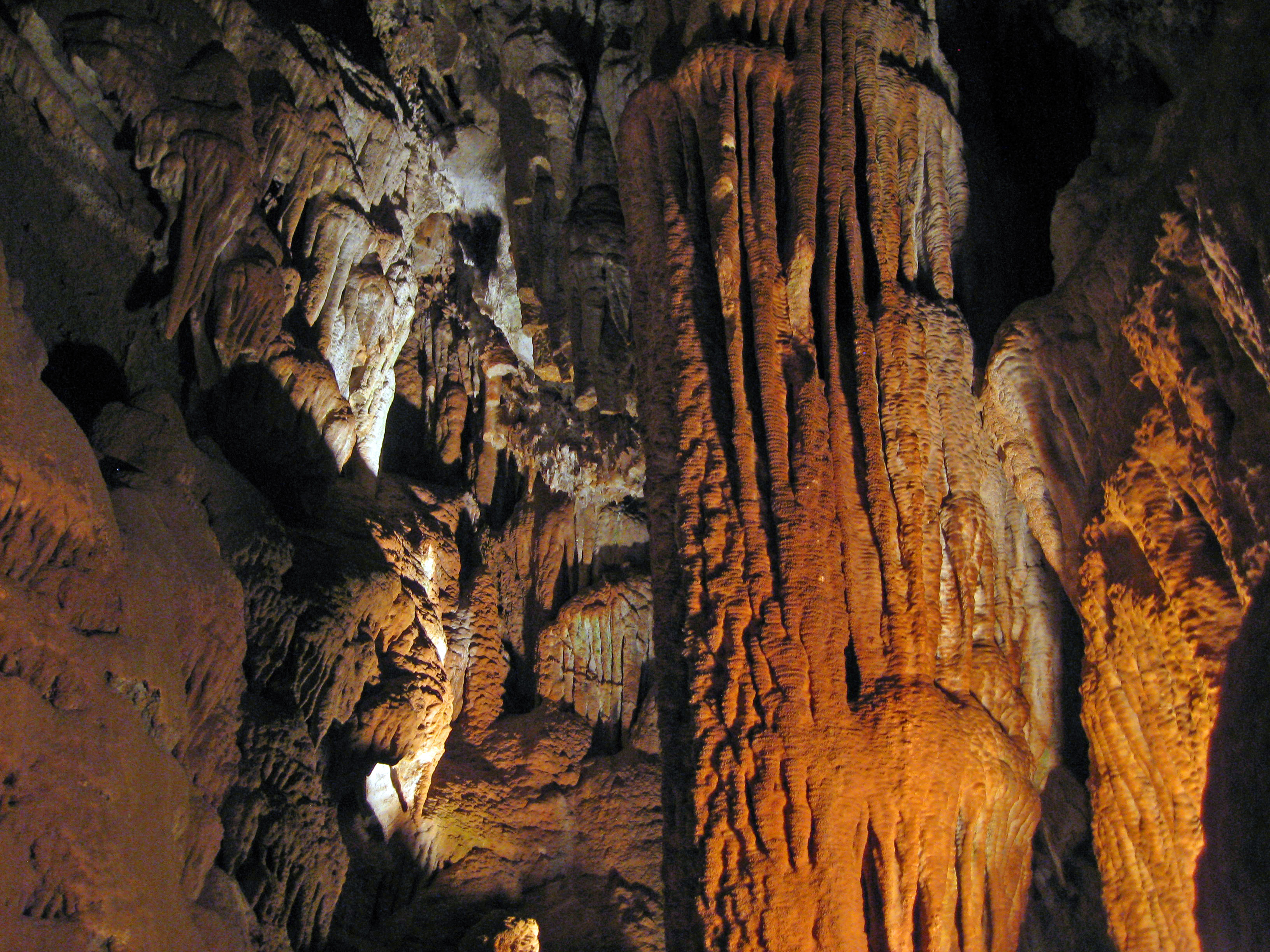
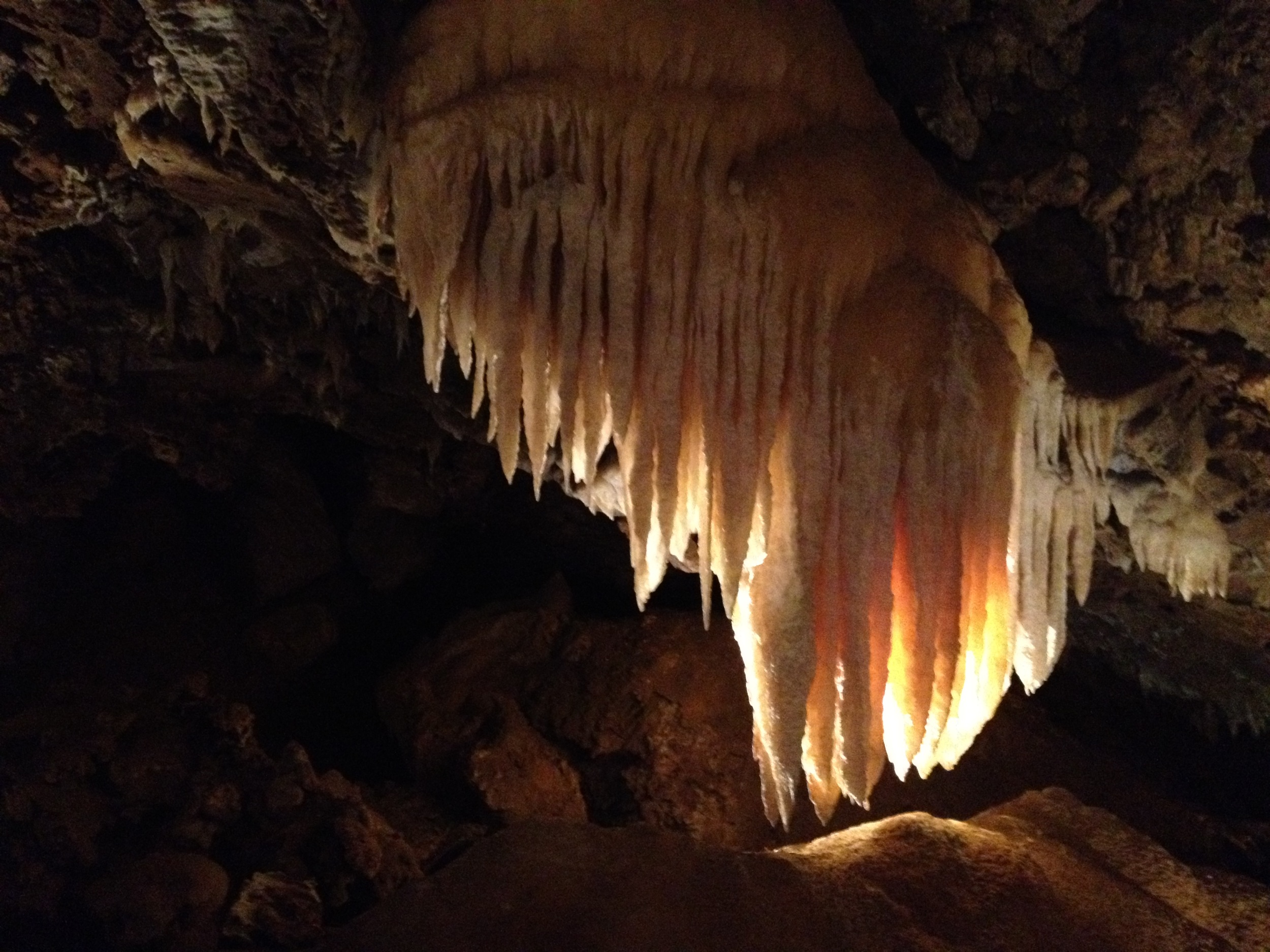
Black Chasm Cavern
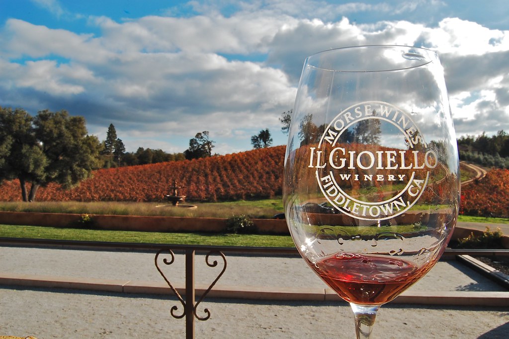
Patio views Il Gioiello tasting room
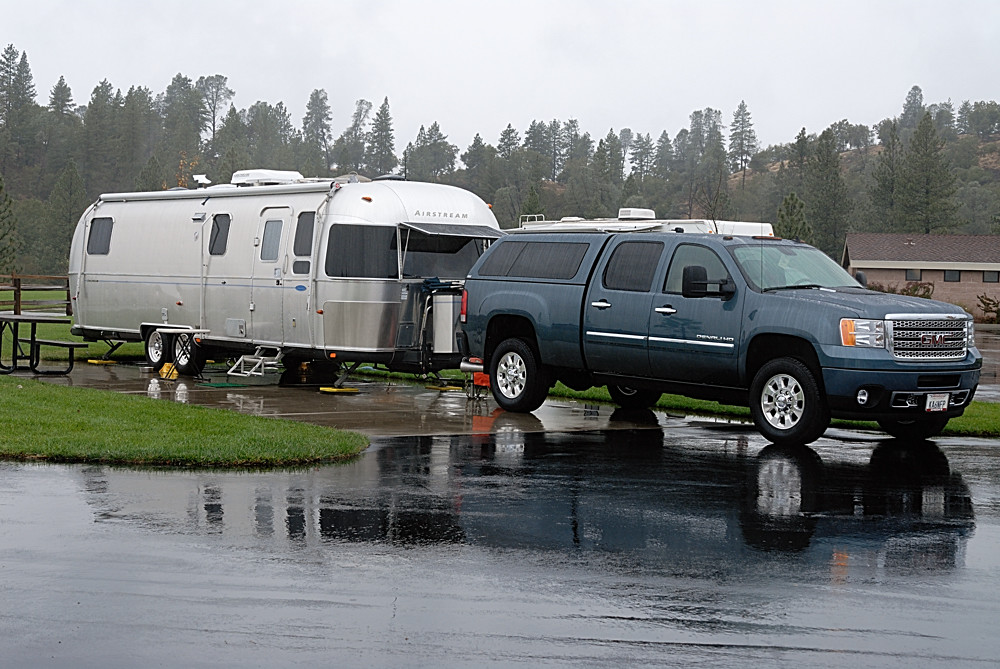
Rainy view of our 2004 30' Classic Airstream

Nice Mountain View 1
Nice View 2

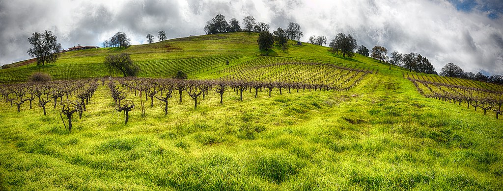
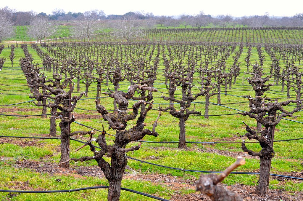
Bray Vineyards view

Jackson, California

Sobon Estates view

Montevina Winery Panorama
Jackson, CA
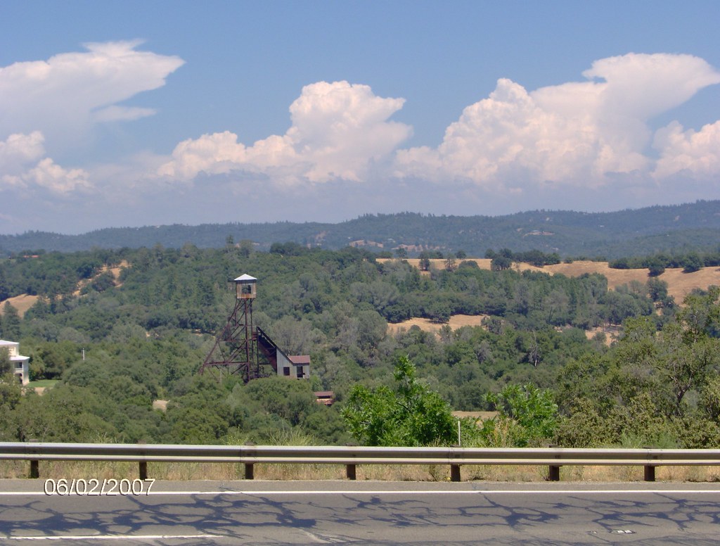
Argonaut Mine
Sylvan View from Bedroom
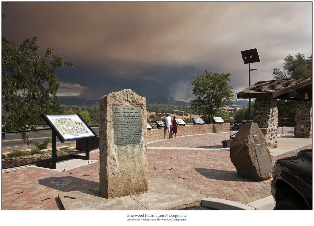
Butte Fire from the Highway 49 Vista Point, Jackson
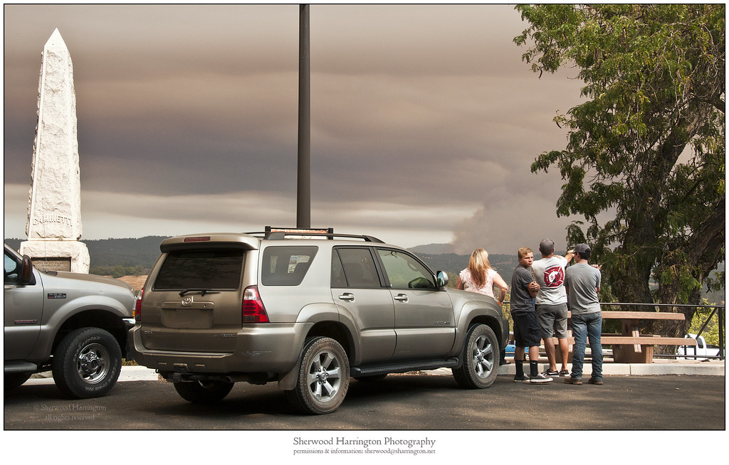
Watching Smoke
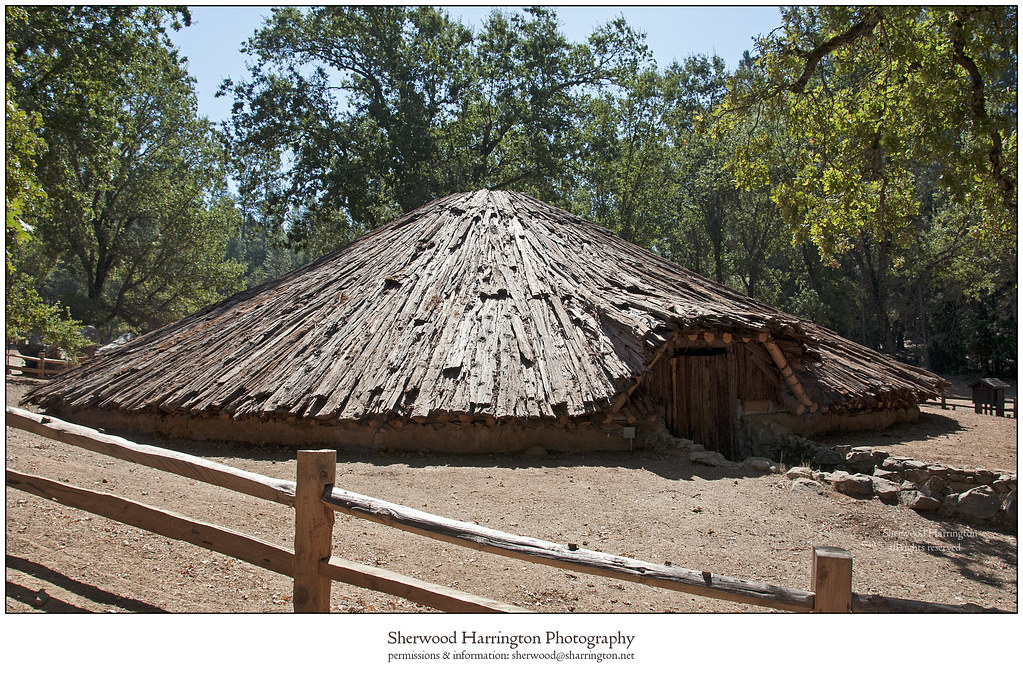
Miwok Ceremonial Roundhouse, 6 of 6
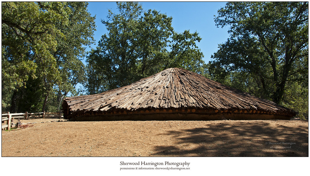
Miwok Ceremonial Roundhouse, 4 of 6

Miwok Ceremonial Roundhouse, 5 of 6
Shenendoah Valley
From Sutter Creek***
Outside Amador City

Hard To Choose
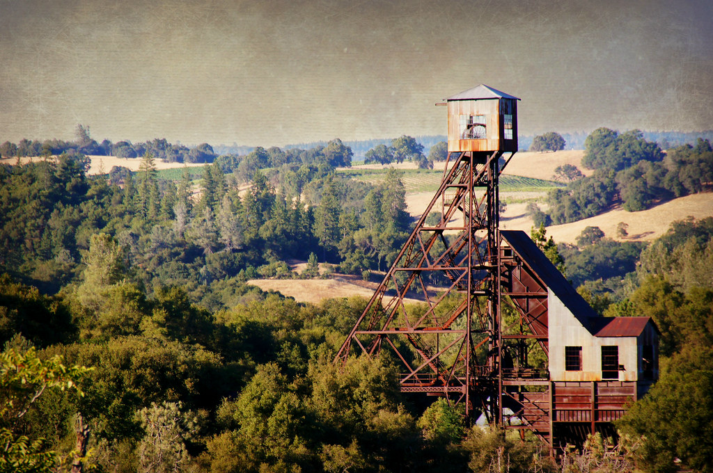
Kennedy Goldmine Headframe
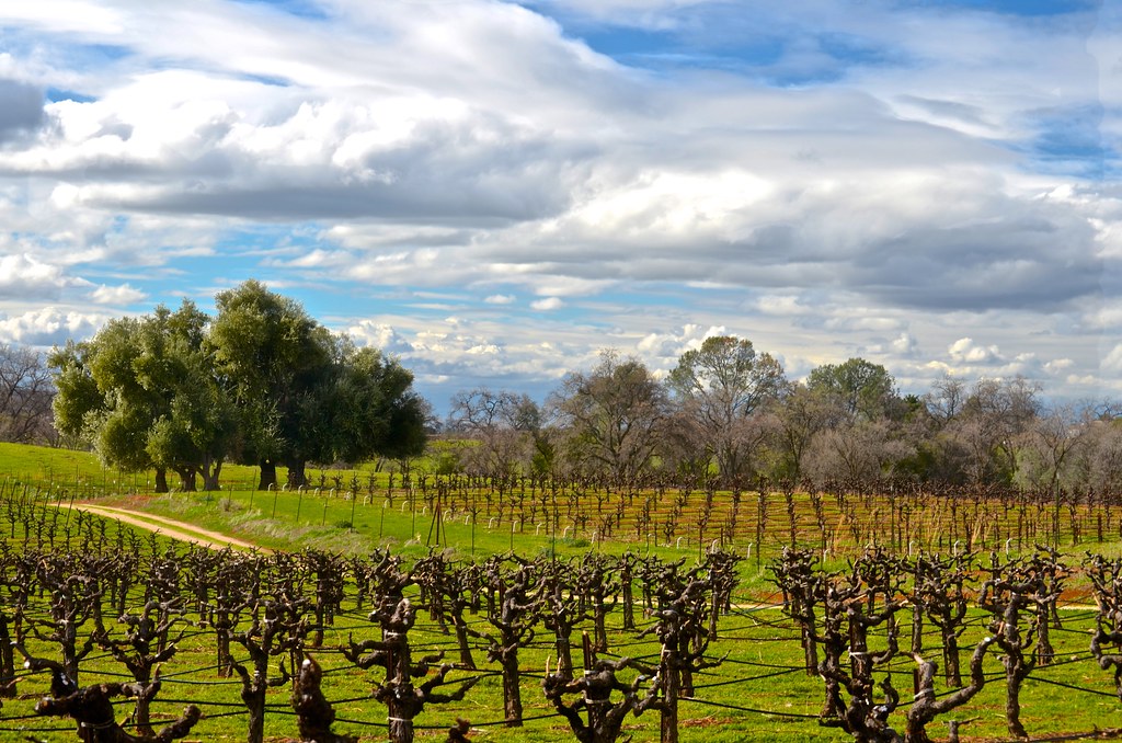
Cooper Vineyards
CRW_7990-54
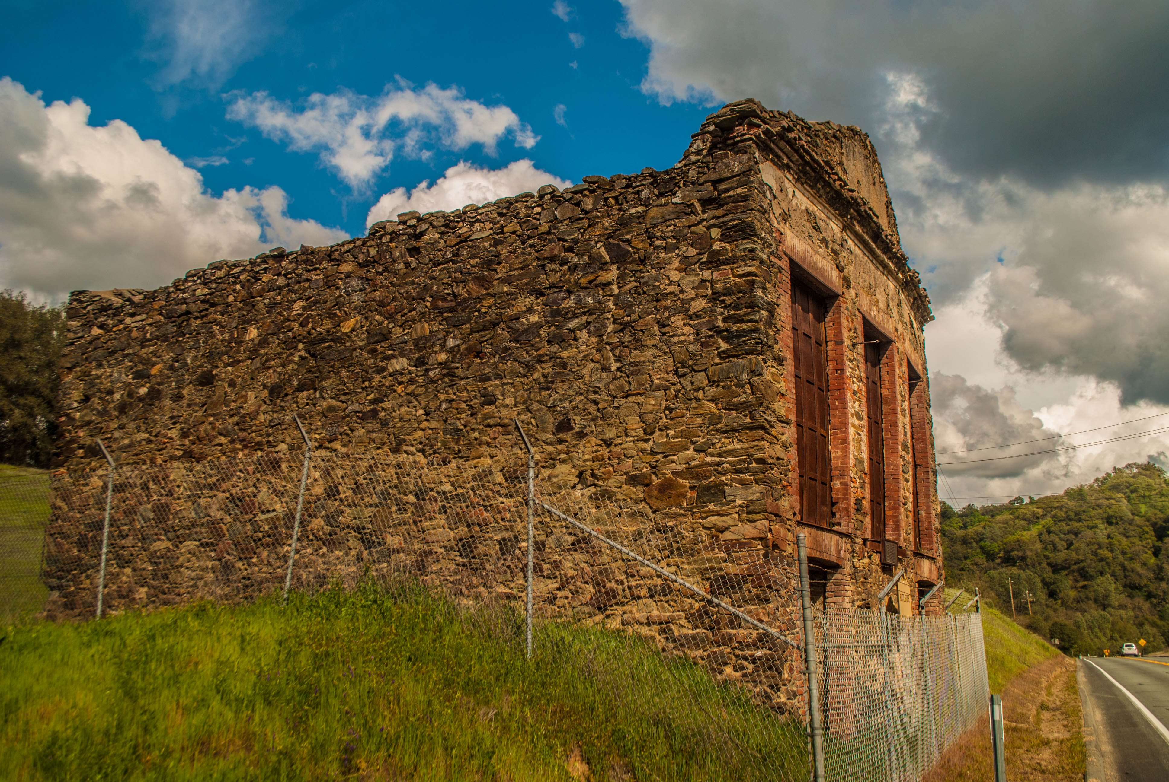
Butte Store Ruins

Camera Roll-1234
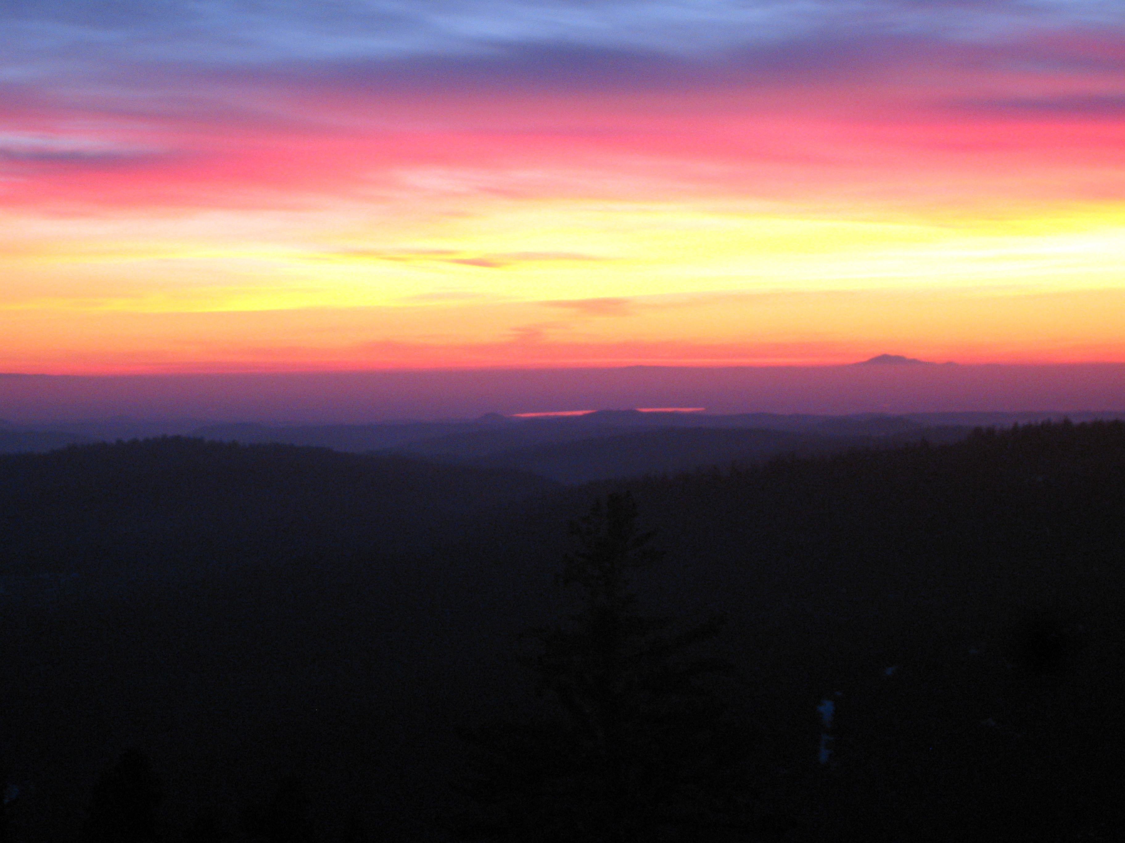
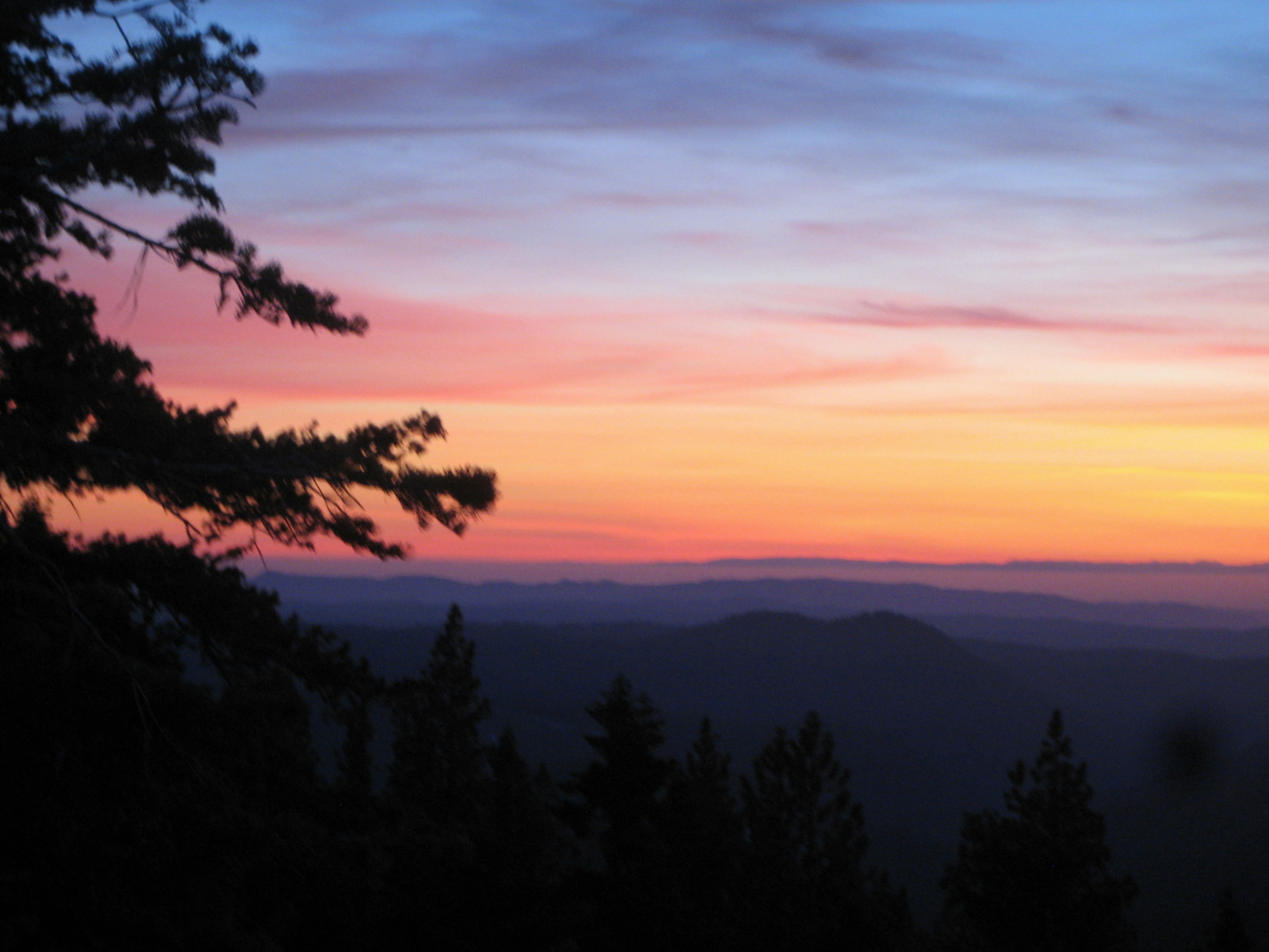
Painted Sky
Living Color
Camera Roll-1234

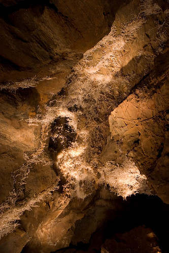
Black Chasm Cavern, Volcano, California.

DSCN0222-001
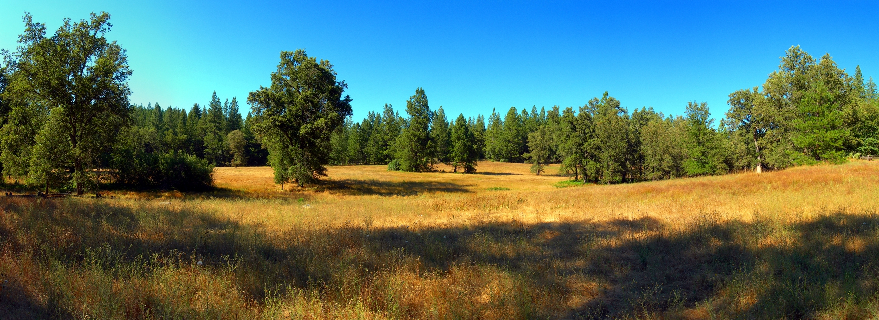
At the Edge of the Meadow

Red Sun
ATR20130218-1649-195
Black Chasm Caves
Cooper Vineyards

Camera Roll-1243
Camera Roll-1243
Topographic Map of Sylvia Dr, Pine Grove, CA, USA
Find elevation by address:

Places near Sylvia Dr, Pine Grove, CA, USA:
18964 Leona Ln
Ridge Road & Lupe Road
Ponderosa Way
14950 Lupe Rd
19000 Ridge Rd
19000 Ridge Rd
19000 Ridge Rd
19000 Ridge Rd
The Call Church
13891 Druid Ln
14121 Toma Ln
14525 Tanyard Hill Rd
14784 Tanyard Hill Rd
17555 Tanyard Hill Rd
17623 Tanyard Hill W
13795 Stell Ct
18420 Ponderosa Annex Rd
Surrey Junction Lane
17450 Sutter Creek Volcano Rd
Shake Ridge Road & Rancho Canyon Road
Recent Searches:
- Elevation of Corso Fratelli Cairoli, 35, Macerata MC, Italy
- Elevation of Tallevast Rd, Sarasota, FL, USA
- Elevation of 4th St E, Sonoma, CA, USA
- Elevation of Black Hollow Rd, Pennsdale, PA, USA
- Elevation of Oakland Ave, Williamsport, PA, USA
- Elevation of Pedrógão Grande, Portugal
- Elevation of Klee Dr, Martinsburg, WV, USA
- Elevation of Via Roma, Pieranica CR, Italy
- Elevation of Tavkvetili Mountain, Georgia
- Elevation of Hartfords Bluff Cir, Mt Pleasant, SC, USA