Elevation of Shake Ridge Road & Rancho Canyon Road, Shake Ridge Rd & Rancho Canyon Rd, California, USA
Location: United States > California > Amador County > Sutter Creek >
Longitude: -120.70177
Latitude: 38.4419579
Elevation: 640m / 2100feet
Barometric Pressure: 94KPa
Elevation Map:
Satellite Map:
Related Photos:

Sierra Nevada Foothills HDR

The Harvest!

Butte Fire from the Highway 49 Vista Point, Jackson

Rainy view of our 2004 30' Classic Airstream

Watching Smoke

Blue-eyed Frog
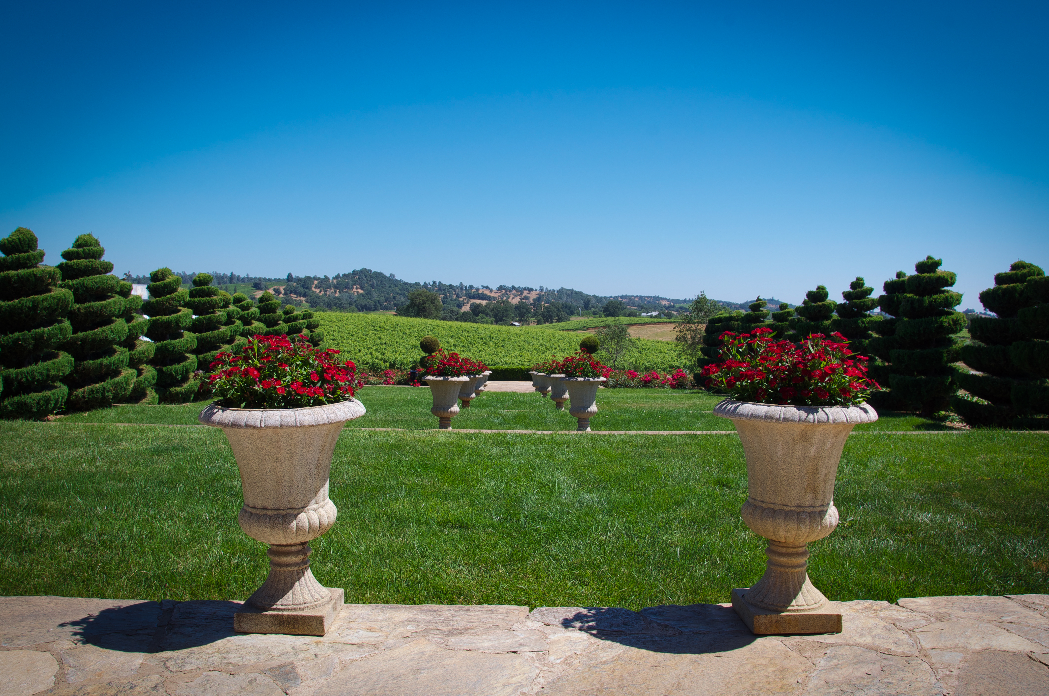
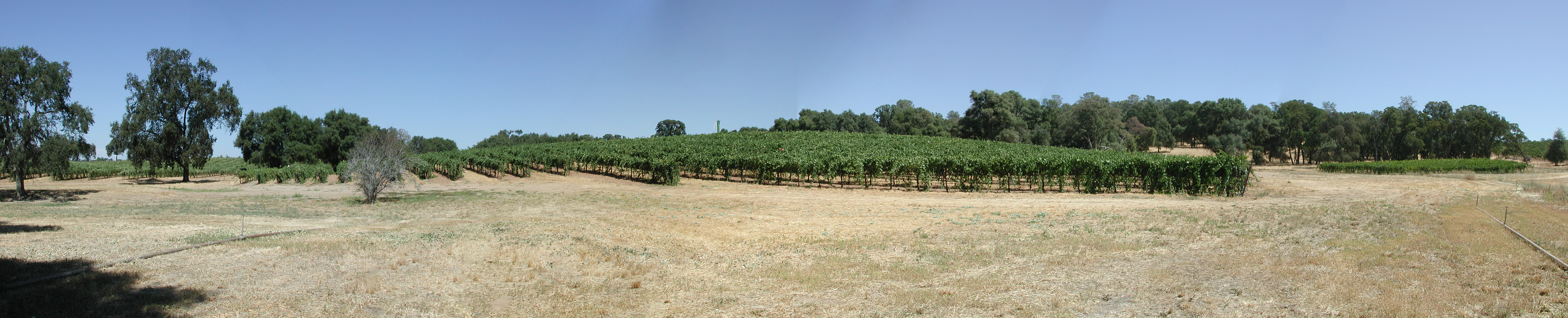
Karmére Vineyard

Mt. Aukum fall views

Digital watercolor Old Kennedy Gold Mine Equipment

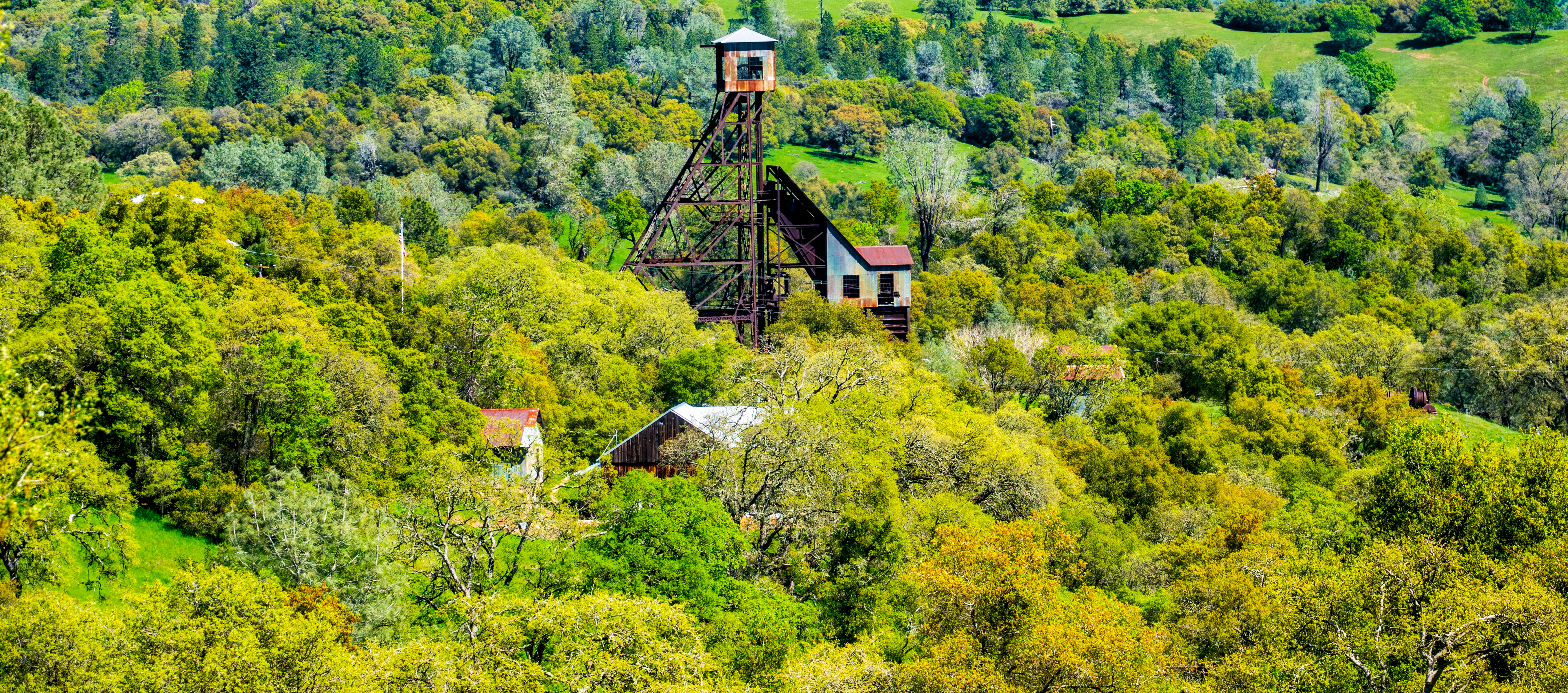
Old Kennedy Gold Mine Equipment HDR

Looking east towards the mountains

Happy Fence Friday

Little Church in the Sierra Nevada Foothills HDR

Looking east towards the mountains

Looking east towards the mountains

Happy Fence Friday
Old Kennedy Gold Mine Equipment HDR - Happy Sliders Sunday
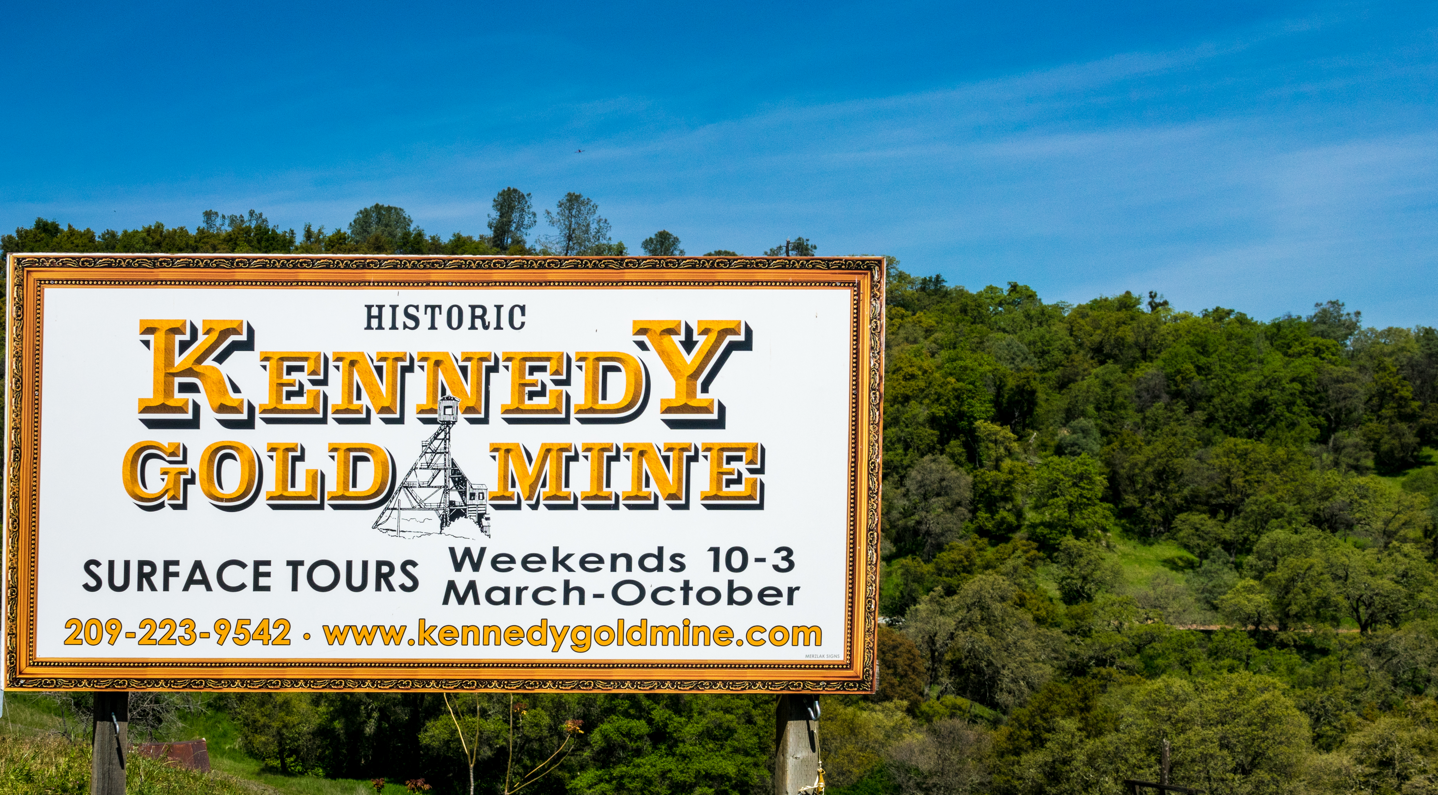
Historic Kennedy Gold Mine - Happy Sign Sunday

view, Helwig Winery, Amador County,

Miwok Ceremonial Roundhouse, 6 of 6

Amador County K-9 Car 3-4 view

Outside Amador City

Cooper Vineyards

Panorama from the Mokelumne Hill Airstrip

Lone Tree Near Plymouth, California

Jackson Butte from Mokelumne Hill

Big Oak

Wilderotter Vineyard, grape vines,
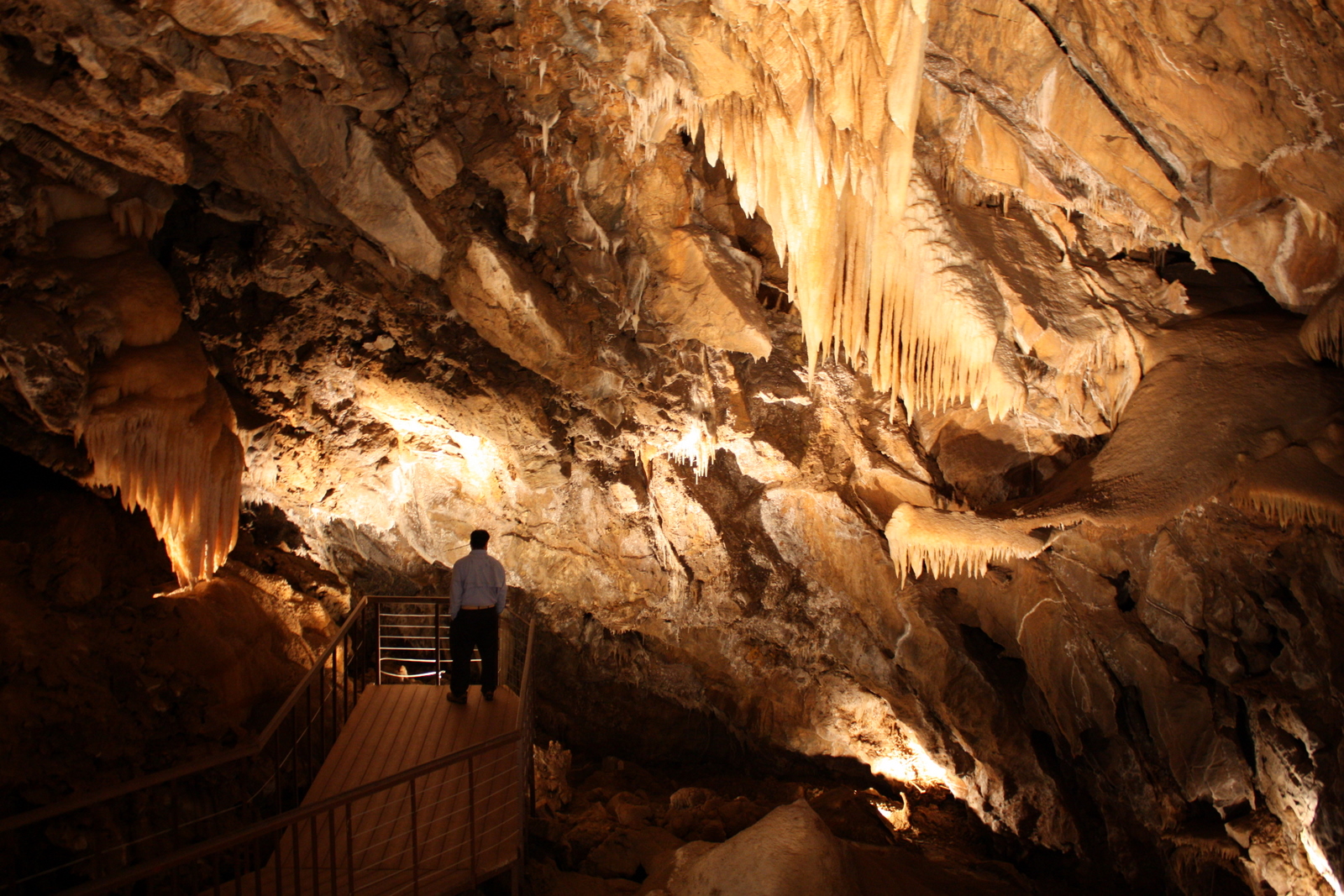
Black Chasm Cavern
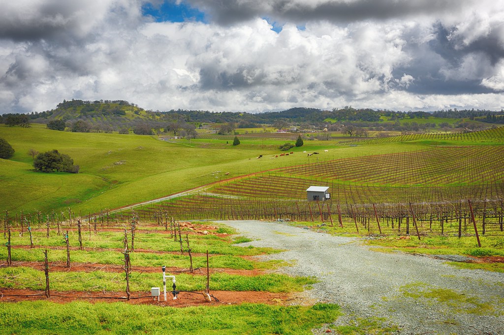
Montevina Winery Panorama
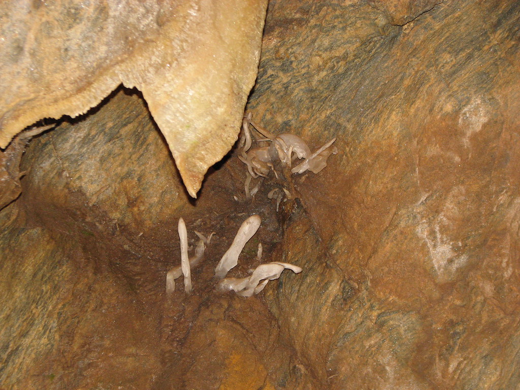
Black Chasm Cavern - soda straw rock formations

The Veins of an Oak at Sunset - Sutter Creek, CA

Shenendoah Valley

All the World's a Sunny Day

From Sutter Creek***
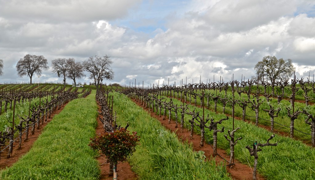
Wilderotter Vineyard, grape vines,
Shenendoah Valley

Protected by the shadows

Hard To Choose

Blooming hills
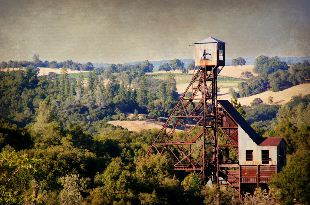
Kennedy Goldmine Headframe
Topographic Map of Shake Ridge Road & Rancho Canyon Road, Shake Ridge Rd & Rancho Canyon Rd, California, USA
Find elevation by address:

Places near Shake Ridge Road & Rancho Canyon Road, Shake Ridge Rd & Rancho Canyon Rd, California, USA:
17450 Sutter Creek Volcano Rd
10653 Tuggie Dr
17070 Louise Ln
16935 Louise Ln
16889 Rancho Canyon Rd
16461 Meadow Rd
16881 Rancho Canyon Rd
18420 Ponderosa Annex Rd
14784 Tanyard Hill Rd
17555 Tanyard Hill Rd
17623 Tanyard Hill W
16607 Emily Way
Surrey Junction Lane
14525 Tanyard Hill Rd
14950 Lupe Rd
14121 Toma Ln
The Call Church
13795 Stell Ct
17014 Ridge Rd
18901 Sylvia Dr
Recent Searches:
- Elevation of N 82nd Pl, Mesa, AZ, USA
- Elevation of Snake Hill Rd, North Scituate, RI, USA
- Elevation of Lake Shore Dr, Warwick, RI, USA
- Elevation of E Brightview Ave, Pittsburgh, PA, USA
- Elevation of Cavendish Rd, Harringay Ladder, London N4 1RR, UK
- Elevation of 1 Zion Park Blvd, Springdale, UT, USA
- Elevation of Ganderbal
- Elevation map of Konkan Division, Maharashtra, India
- Elevation of Netaji Nagar, Hallow Pul, Kurla, Mumbai, Maharashtra, India
- Elevation of Uralsk, Kazakhstan