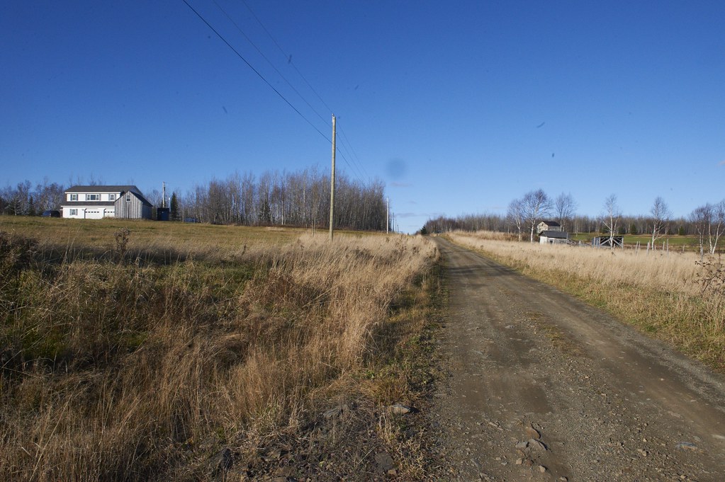
Elevation of Tangle Ridge Rd, Perham, ME, USA
Location: United States > Maine > Aroostook County > Perham >
Longitude: -68.257653
Latitude: 46.913496
Elevation: 211m / 692feet
Barometric Pressure: 99KPa
Elevation Map:
Satellite Map:
Related Photos:

_DSC1323
Perham_July_D3A7353
Perham_July_D3A7352
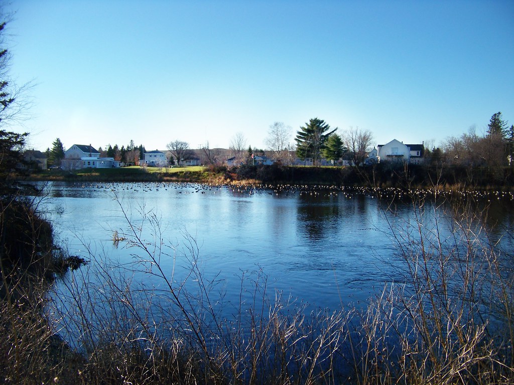
_DSC0782
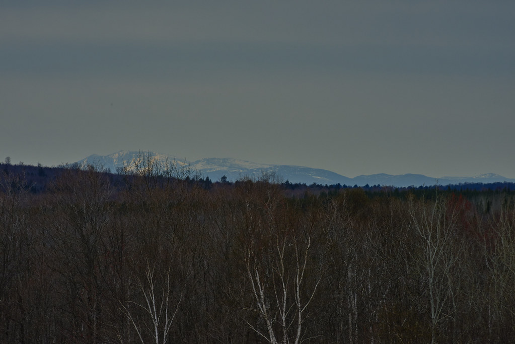
Last Embers of Fall
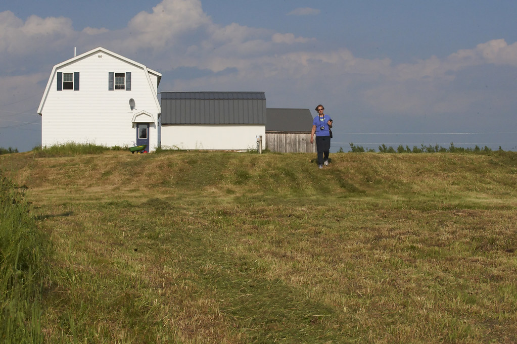
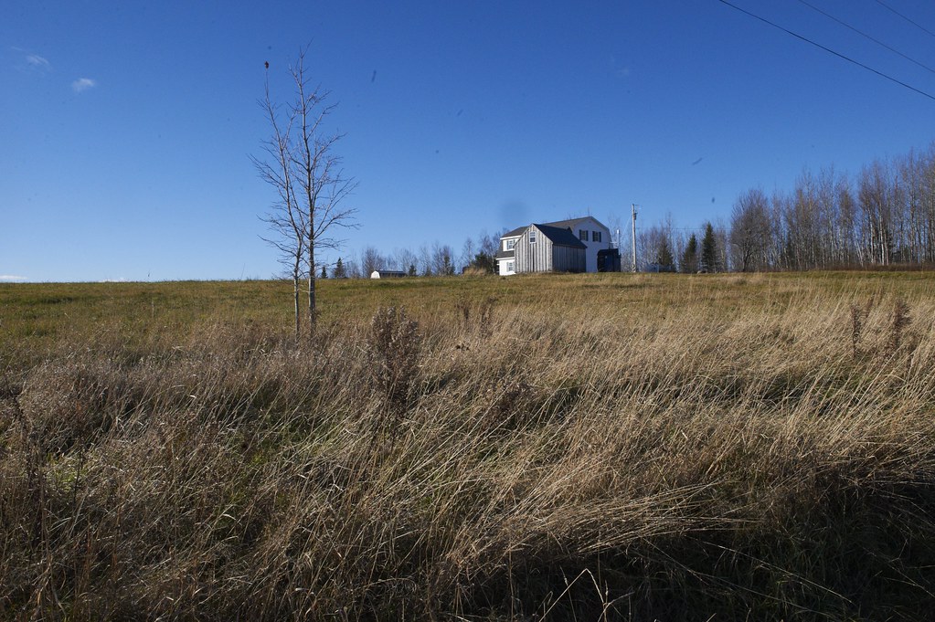
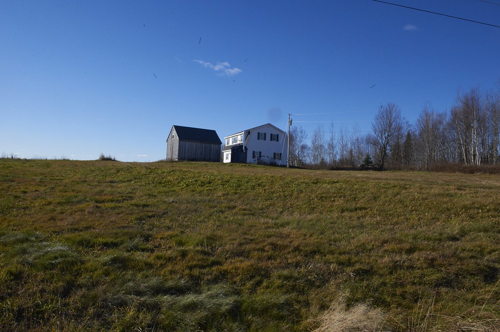
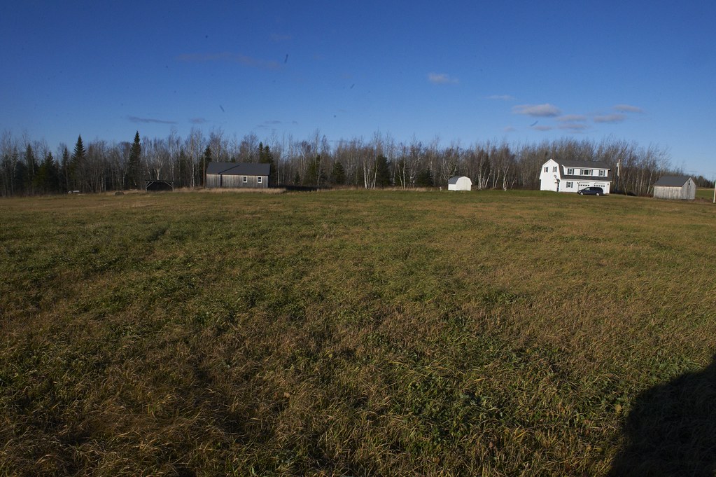
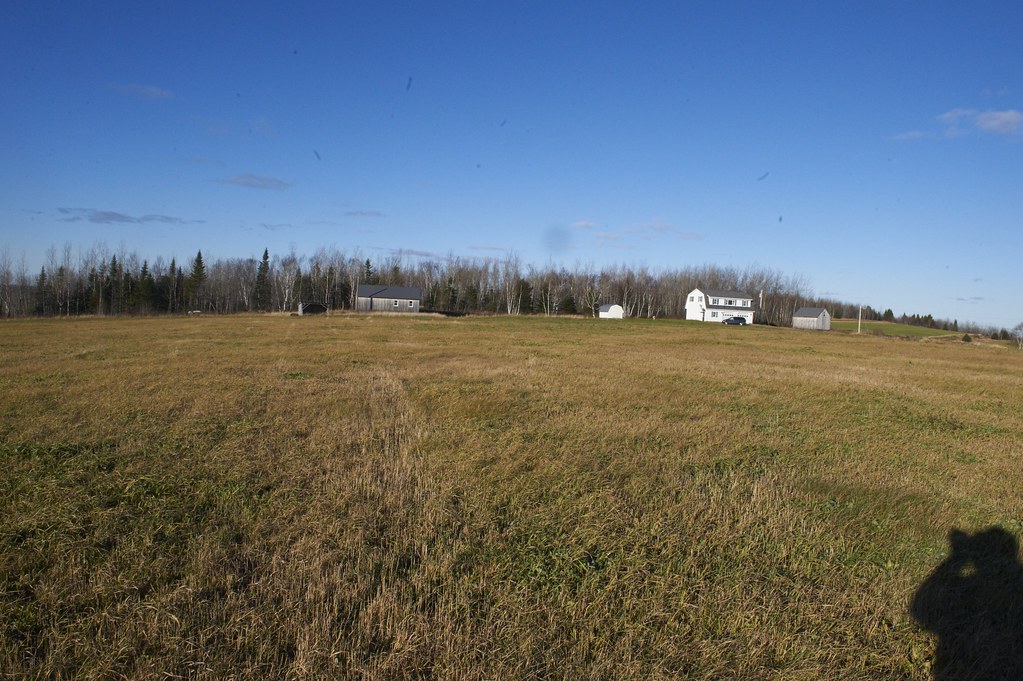
Perham Maine House 2013

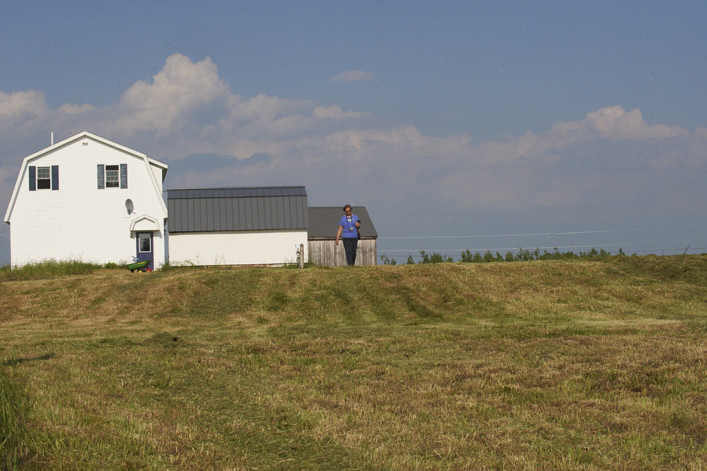
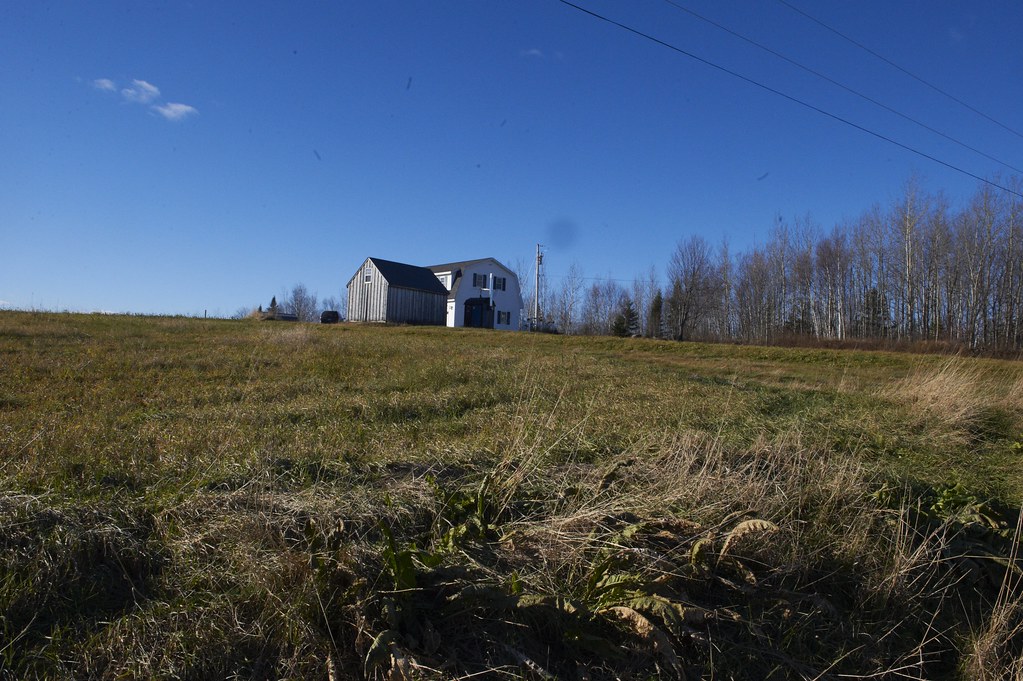
Perham Maine House 2013
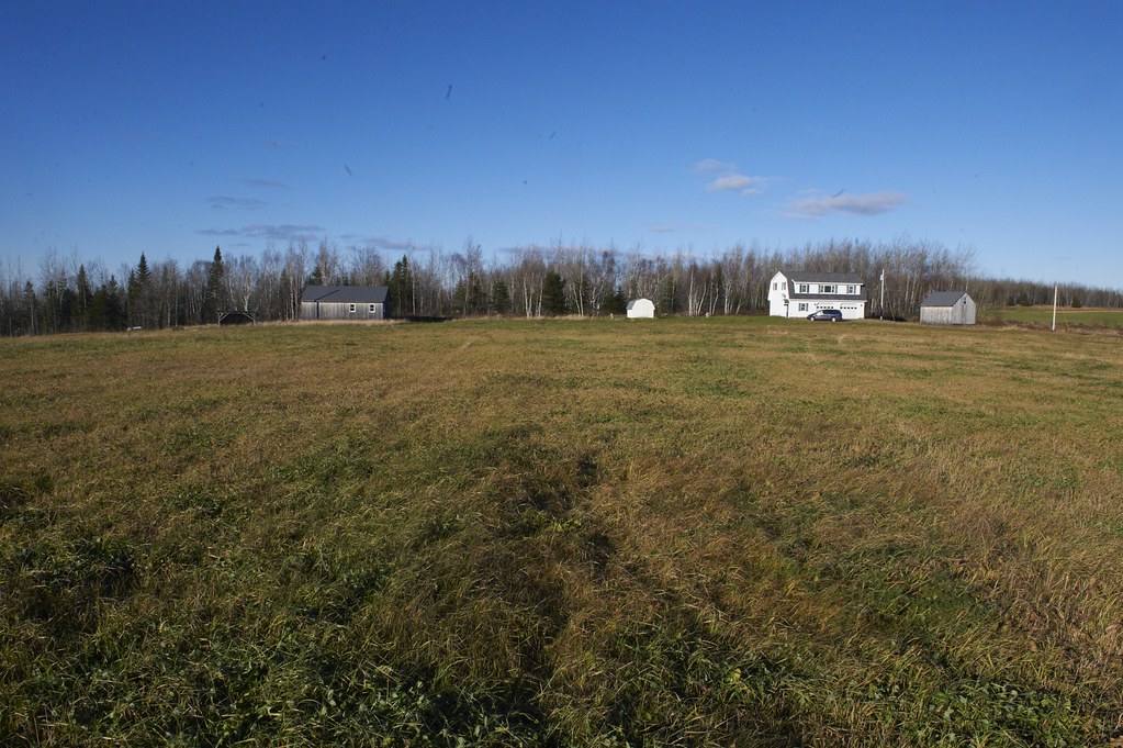
Perham Maine House 2013
Perham Maine House 2013

Perham Maine House 2013
Perham Maine House 2013
Perham Maine House 2013
Perham Maine House 2013
Perham Maine House 2013
Perham Maine House 2013
Perham Maine House 2013
Perham Maine House 2013
Perham Maine House 2013

Perham Maine House 2013
Perham Maine House 2013
Perham Maine House 2013
Perham Maine House 2013
Perham Maine House 2013
Perham Maine House 2013
Perham Maine House 2013
Topographic Map of Tangle Ridge Rd, Perham, ME, USA
Find elevation by address:

Places near Tangle Ridge Rd, Perham, ME, USA:
High Meadow Rd, Perham, ME, USA
Perham
357 Little Madawaska Lake Rd
178 Carson Rd
Woodland Center Rd, Woodland, ME, USA
13 Jepson Rd, New Sweden, ME, USA
New Sweden
Mcintyre Road
Washburn
895 Carson Rd
31 Riverside Dr, Washburn, ME, USA
Castle Hill
State Road
Washburn Rd, Washburn, ME, USA
State Road Advent Christian Church
Aroostook County
Haystack Mountain
170 Fox Hill Rd
15 Sweden St, Caribou, ME, USA
Mapleton
Recent Searches:
- Elevation of Corso Fratelli Cairoli, 35, Macerata MC, Italy
- Elevation of Tallevast Rd, Sarasota, FL, USA
- Elevation of 4th St E, Sonoma, CA, USA
- Elevation of Black Hollow Rd, Pennsdale, PA, USA
- Elevation of Oakland Ave, Williamsport, PA, USA
- Elevation of Pedrógão Grande, Portugal
- Elevation of Klee Dr, Martinsburg, WV, USA
- Elevation of Via Roma, Pieranica CR, Italy
- Elevation of Tavkvetili Mountain, Georgia
- Elevation of Hartfords Bluff Cir, Mt Pleasant, SC, USA