Elevation of Castle Hill, ME, USA
Location: United States > Maine > Aroostook County >
Longitude: -68.220377
Latitude: 46.7179811
Elevation: 257m / 843feet
Barometric Pressure: 98KPa
Elevation Map:
Satellite Map:
Related Photos:
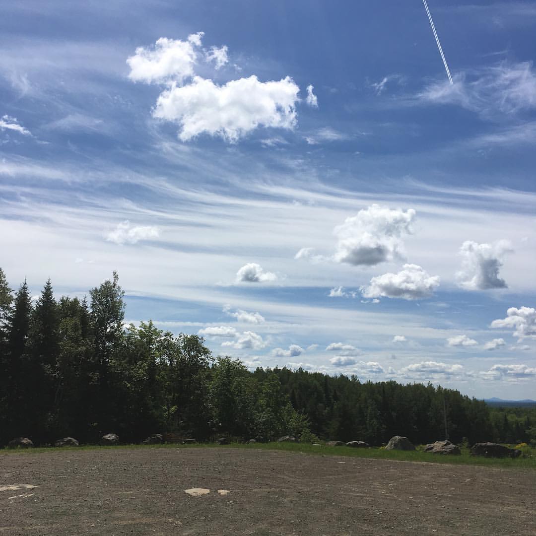
The view from Haystack trailhead lot. #maine #hiking

2012-08-26-99163
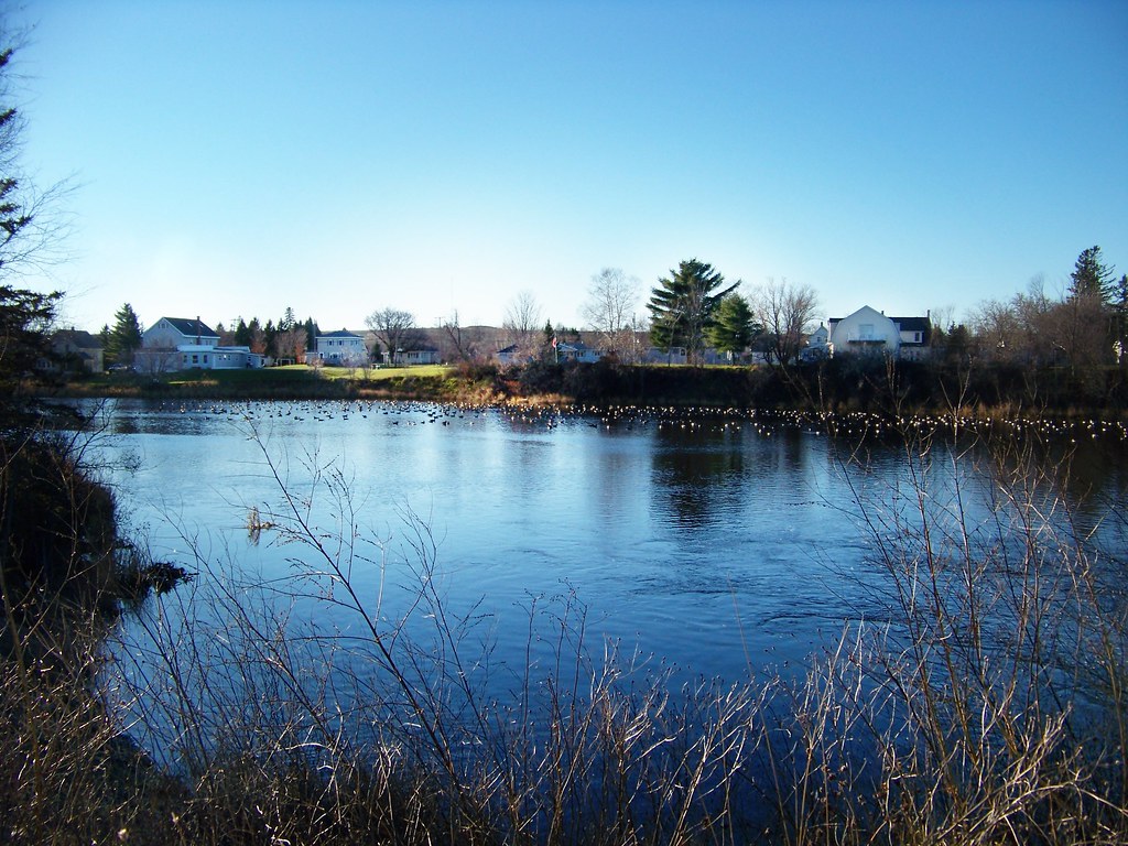
Last Embers of Fall
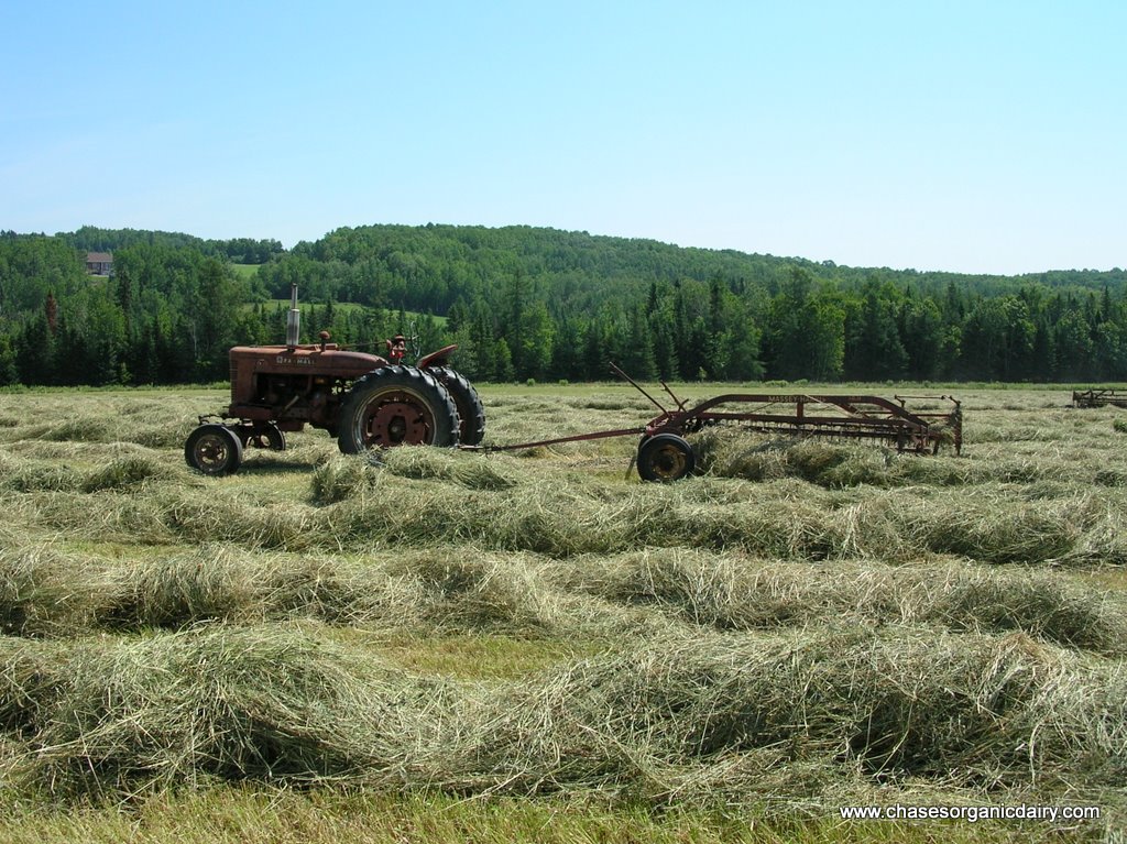
DSCN7089.JPG
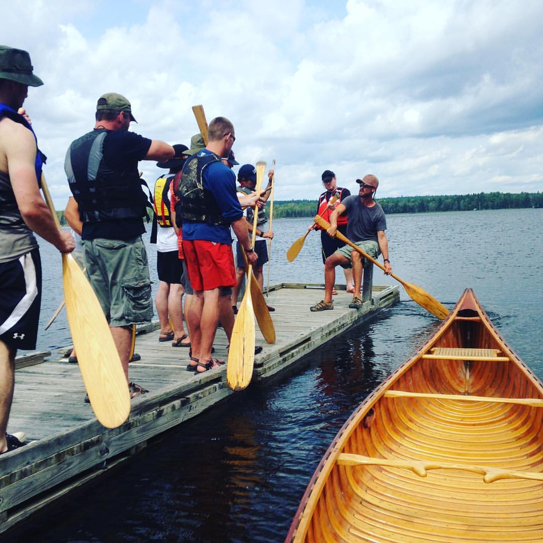
First day canoeing, paddle stroke demo on the dock & wood canvas boat in the water.
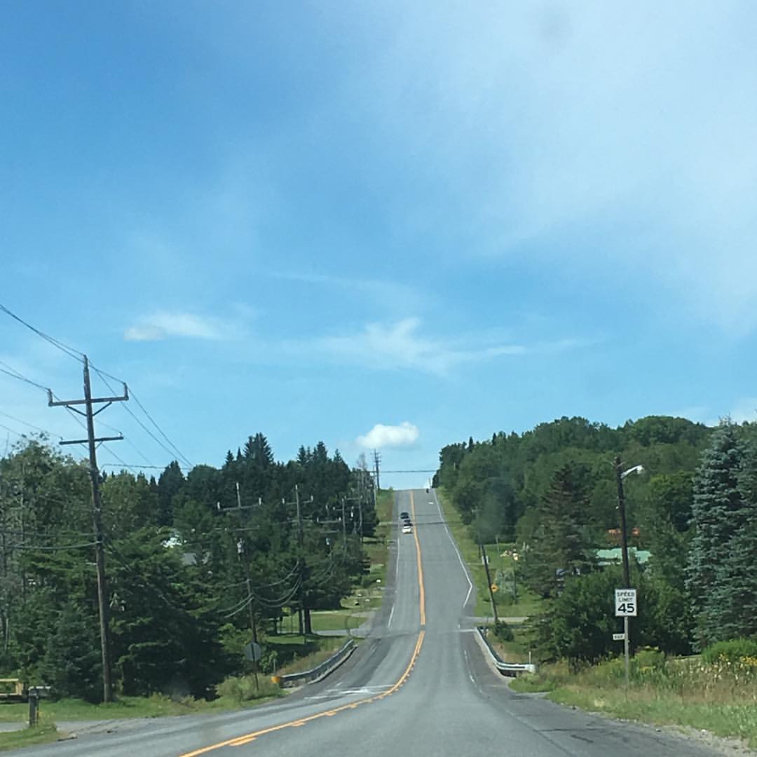
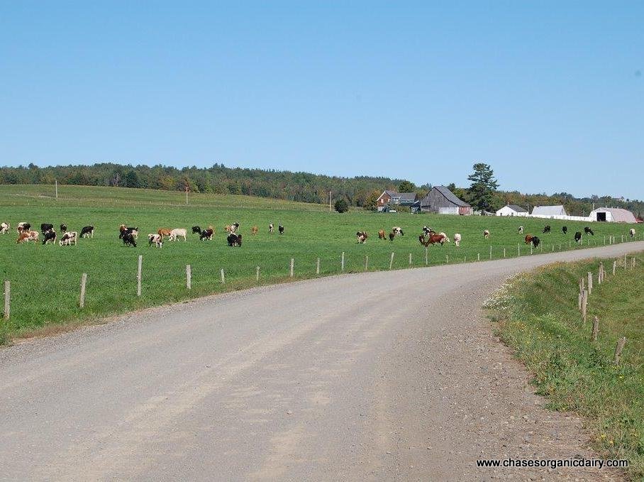
Aroostook County intimates great vastness of scale. #northernmaine #aroostook #hills #summer

Yep, gear yer kids up for MUTTON BUSTIN'!!! #sheep #madmaxwoolyroad

Manic Panic alpacas at the Presque Isle fair. #agricultural #alpaca
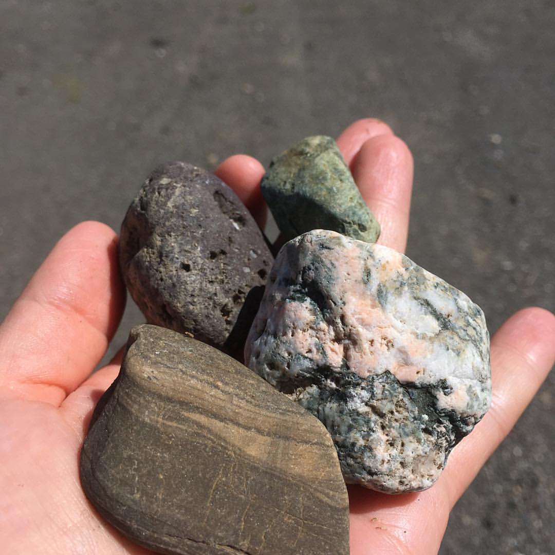
Also lots of crazy rocks. So many glacial #erratics in #northern #Maine! #rocks #geology
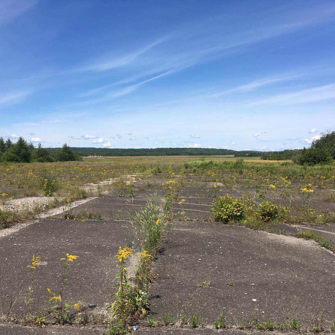
Found part of an #abandoned #airfield (near active one w/windsock in distance) behind railroad tracks. #presqueisle #maine
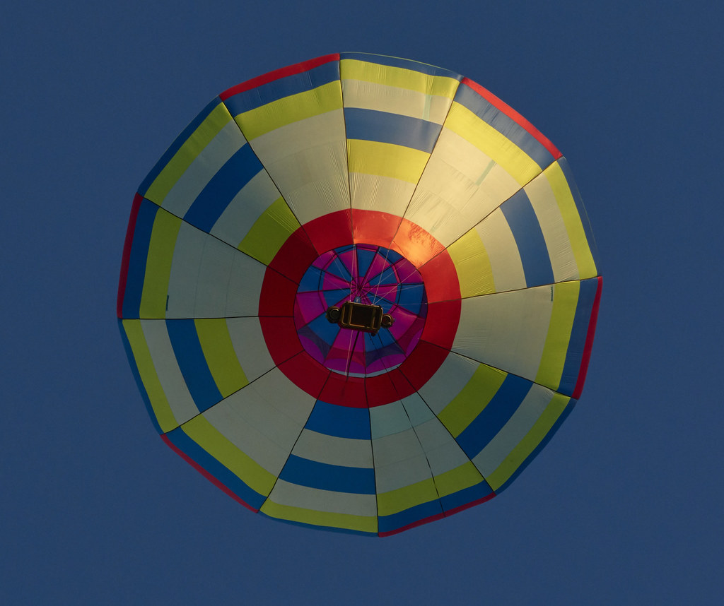
Mass Accent Presque Island ME 8/28/2015 6am

July 19, 2013
ph-10088

Vern & Jerry next to the lilac bush

Kevin in his bath
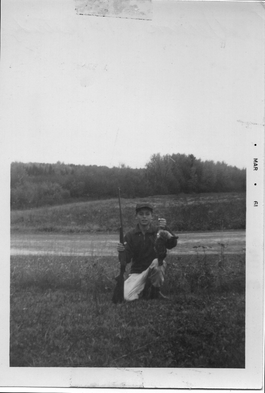
Vern with the .410 & his first partridge at age 15

Vern & Kevin dressed for a swim in the cold pond

Patty & Marilynn posing
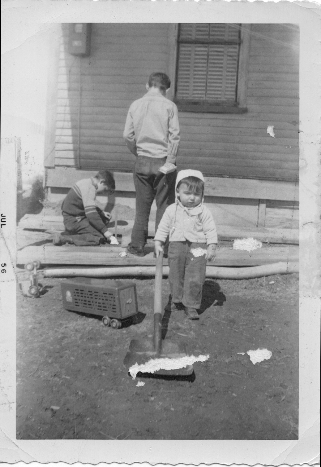
Vern, Jerry, & Kevin playing in the dirt

Tom, Jerry, & Vern next to the green '41 Chevy

Tom & Kevin

Kevin playing ball (note the jodhpers)
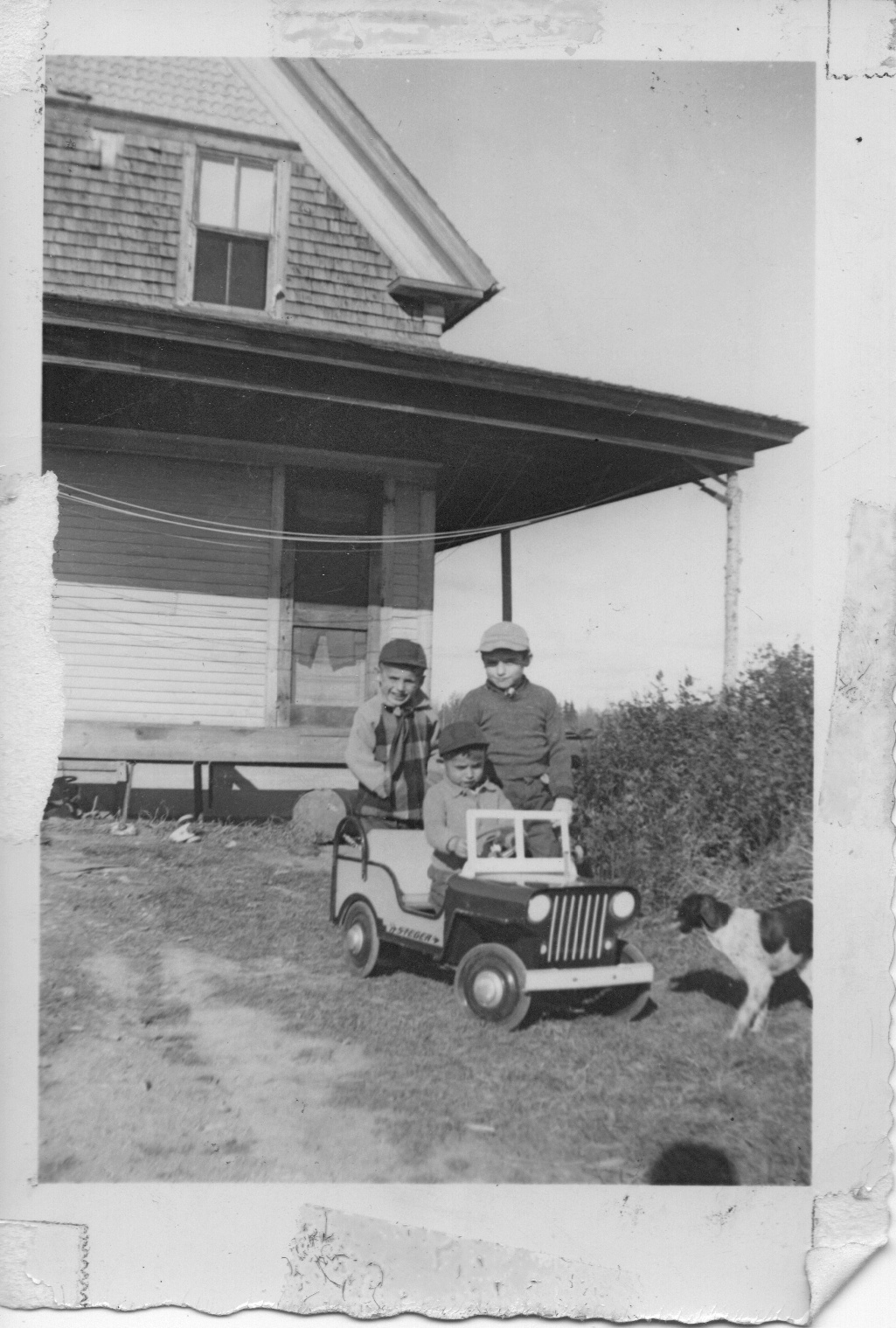
Jerry, Pudge, & Vern with the firetruck jeep & Spotty
Topographic Map of Castle Hill, ME, USA
Find elevation by address:

Places in Castle Hill, ME, USA:
Places near Castle Hill, ME, USA:
Haystack Mountain
Mapleton
State Road
31 Riverside Dr, Washburn, ME, USA
W Chapman Rd, Chapman, ME, USA
Chapman
Washburn
State Road Advent Christian Church
380 Carvell Rd
Perham
Washburn Rd, Washburn, ME, USA
178 Carson Rd
High Meadow Rd, Perham, ME, USA
895 Carson Rd
1030 Skyway St
Ashland
1513 Chapman Rd
Mcintyre Road
Woodland Center Rd, Woodland, ME, USA
89 State St, Presque Isle, ME, USA
Recent Searches:
- Elevation of Corso Fratelli Cairoli, 35, Macerata MC, Italy
- Elevation of Tallevast Rd, Sarasota, FL, USA
- Elevation of 4th St E, Sonoma, CA, USA
- Elevation of Black Hollow Rd, Pennsdale, PA, USA
- Elevation of Oakland Ave, Williamsport, PA, USA
- Elevation of Pedrógão Grande, Portugal
- Elevation of Klee Dr, Martinsburg, WV, USA
- Elevation of Via Roma, Pieranica CR, Italy
- Elevation of Tavkvetili Mountain, Georgia
- Elevation of Hartfords Bluff Cir, Mt Pleasant, SC, USA