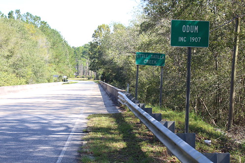
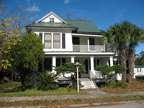
Elevation of Surrency Ga., Surrency, GA, USA
Location: United States > Georgia > Appling County > Surrency >
Longitude: -82.174862
Latitude: 31.7159183
Elevation: 59m / 194feet
Barometric Pressure: 101KPa
Related Photos:
Topographic Map of Surrency Ga., Surrency, GA, USA
Find elevation by address:

Places near Surrency Ga., Surrency, GA, USA:
Surrency
Appling County
Golden Isles Hwy E, Baxley, GA, USA
Old Surrency Rd, Baxley, GA, USA
Blackshear Hwy SE, Baxley, GA, USA
Zion Baptist Church Rd, Surrency, GA, USA
N Church St, Odum, GA, USA
GA-, Screven, GA, USA
441 Hutcheson Rd
11 Ammons Scott Rd
Ranier St, Baxley, GA, USA
218 Fair St
Baxley
499 Sawmill Rd
Bell Dr, Baxley, GA, USA
Davis Landing, Baxley, GA, USA
83 Hollis St
93 White Bluff Rd
1637 Bear Branch Rd
318 Old Spivey Rd
Recent Searches:
- Elevation of Corso Fratelli Cairoli, 35, Macerata MC, Italy
- Elevation of Tallevast Rd, Sarasota, FL, USA
- Elevation of 4th St E, Sonoma, CA, USA
- Elevation of Black Hollow Rd, Pennsdale, PA, USA
- Elevation of Oakland Ave, Williamsport, PA, USA
- Elevation of Pedrógão Grande, Portugal
- Elevation of Klee Dr, Martinsburg, WV, USA
- Elevation of Via Roma, Pieranica CR, Italy
- Elevation of Tavkvetili Mountain, Georgia
- Elevation of Hartfords Bluff Cir, Mt Pleasant, SC, USA


