Elevation of Old Surrency Rd, Baxley, GA, USA
Location: United States > Georgia > Appling County > Baxley >
Longitude: -82.291106
Latitude: 31.7798755
Elevation: 62m / 203feet
Barometric Pressure: 101KPa
Elevation Map:
Satellite Map:
Related Photos:

Baxley Water Tower

Courthouse, Appling County, Baxley, GA

Mural Baxley Georgia

My baby boy!

Austin when it snowed years ago!

AJ n Layla

Mama and baby

Appling County Courthouse

Baxley, Georgia

Appling County Courthouse

Appling County Court House
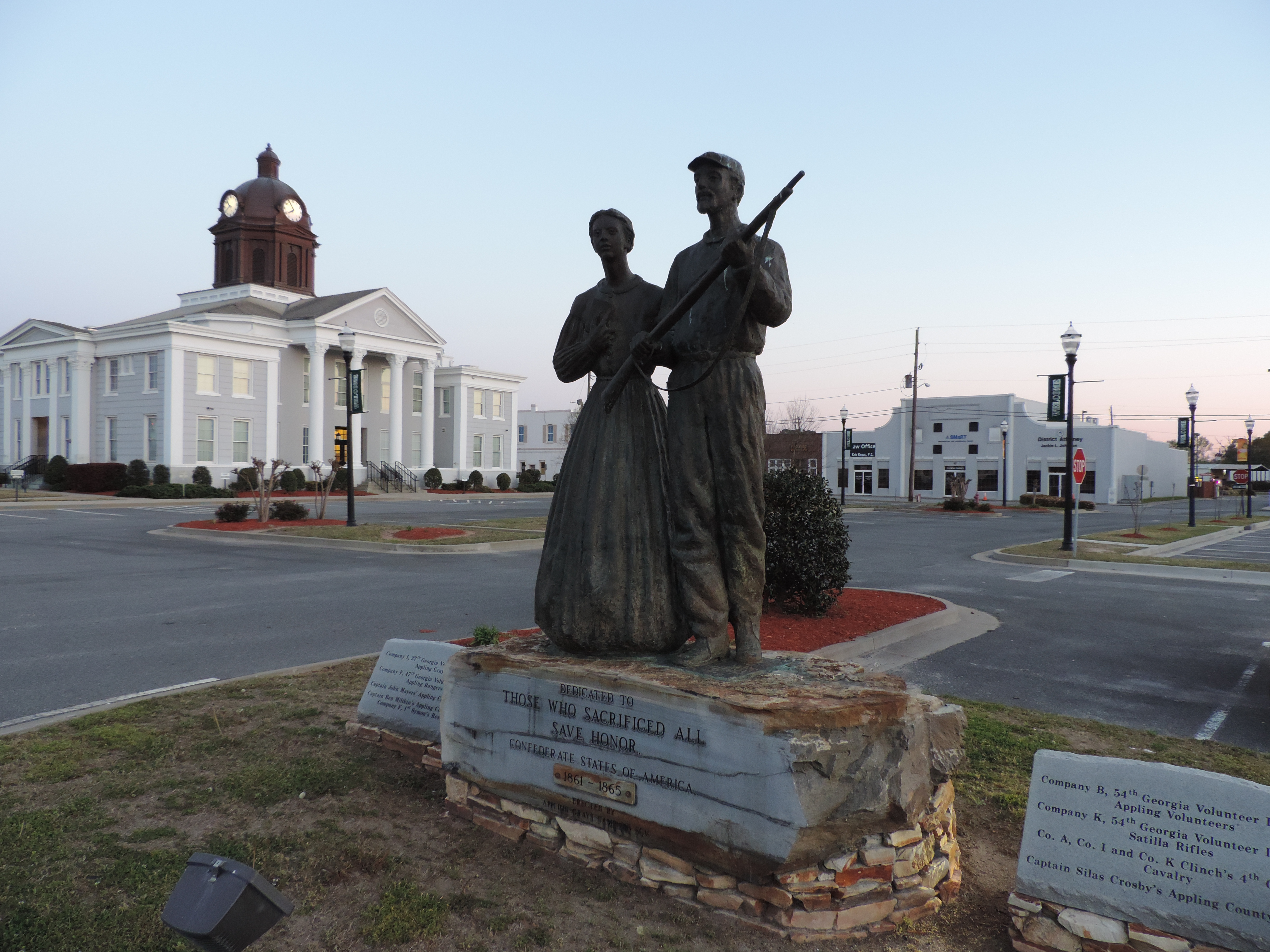
Appling County Confederte Monument and Court House

Misty and lily

Bi-Ways Rural Georgia

GA Adopt A Stream

A bonding experience

Golden sand, turtle shells. and star blooms oh my!

Deborah Sheopard
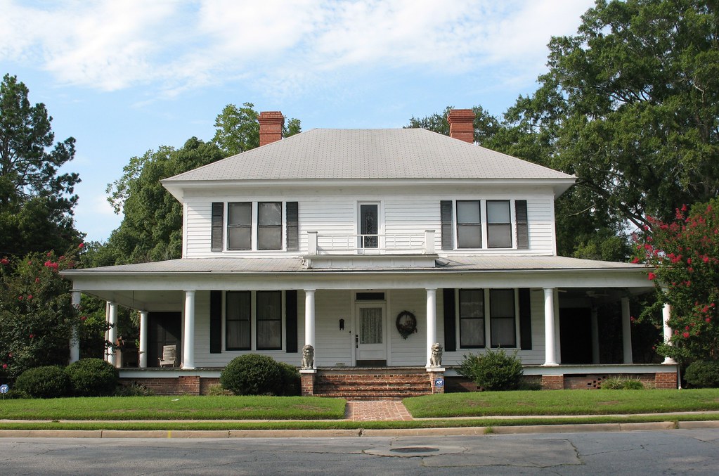
Old House Baxley GA

Appling Co CH Dome Baxley GA

Appling Co CH 3 Baxley GA
Topographic Map of Old Surrency Rd, Baxley, GA, USA
Find elevation by address:

Places near Old Surrency Rd, Baxley, GA, USA:
Golden Isles Hwy E, Baxley, GA, USA
Baxley
218 Fair St
Bell Dr, Baxley, GA, USA
Ranier St, Baxley, GA, USA
83 Hollis St
Appling County
441 Hutcheson Rd
Spring Branch Rd, Baxley, GA, USA
Blackshear Hwy SE, Baxley, GA, USA
Golden Isles W, Baxley, GA, USA
Surrency
Davis Landing, Baxley, GA, USA
Surrency Ga.
Zion Baptist Church Rd, Surrency, GA, USA
Ginger Farm Road
Deen's Landing Road
359 Yawn Rd
93 White Bluff Rd
Graham
Recent Searches:
- Elevation of Corso Fratelli Cairoli, 35, Macerata MC, Italy
- Elevation of Tallevast Rd, Sarasota, FL, USA
- Elevation of 4th St E, Sonoma, CA, USA
- Elevation of Black Hollow Rd, Pennsdale, PA, USA
- Elevation of Oakland Ave, Williamsport, PA, USA
- Elevation of Pedrógão Grande, Portugal
- Elevation of Klee Dr, Martinsburg, WV, USA
- Elevation of Via Roma, Pieranica CR, Italy
- Elevation of Tavkvetili Mountain, Georgia
- Elevation of Hartfords Bluff Cir, Mt Pleasant, SC, USA