Elevation of GA-, Screven, GA, USA
Location: United States > Georgia > Wayne County > Screven >
Longitude: -82.125228
Latitude: 31.5561757
Elevation: 46m / 151feet
Barometric Pressure: 101KPa
Elevation Map:
Satellite Map:
Related Photos:

Roseate Spoonbill. Boggy Creek Farms, Wayne County, 26 June 2014. Photo by Anonymous

Jim A., Bob J., and Bill H. along with other rep.

Roseate Spoonbill. Boggy Creek Farms, Wayne County, 27 June 2014. Photo by Anonymous

Roseate Spoonbill. Boggy Creek Farms, Wayne County, 26 June 2014. Photo by Anonymous

Flying home from Florida - Pretty Clouds

Live Oaks, Wormsloe Plantation, Savannah GA B&W

Last photo taken in 2011

Lonely Trees in Cotton Field

Calm before the storm
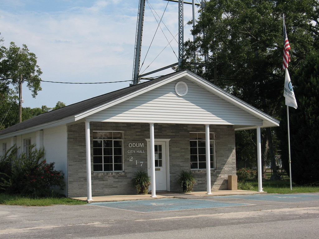
Odum GA City Hall

Feb-April 2010 099
Feb-April 2010 043

Feb-April 2010 039

Ritch Carter Martin House Odum GA
Topographic Map of GA-, Screven, GA, USA
Find elevation by address:

Places near GA-, Screven, GA, USA:
499 Sawmill Rd
4979 Stanfield Rd
1637 Bear Branch Rd
5650 Womack Rd
318 Old Spivey Rd
11 Ammons Scott Rd
Screven
851 Satilla Church Rd
Bristol
N Church St, Odum, GA, USA
GA-38, Patterson, GA, USA
Mershon
Surrency Ga.
Patterson
US-84, Patterson, GA, USA
Surrency
430 Nebraska Rd
Deen Berry Ln, Mershon, GA, USA
Appling County
561 Chapman Plantation Rd
Recent Searches:
- Elevation of Corso Fratelli Cairoli, 35, Macerata MC, Italy
- Elevation of Tallevast Rd, Sarasota, FL, USA
- Elevation of 4th St E, Sonoma, CA, USA
- Elevation of Black Hollow Rd, Pennsdale, PA, USA
- Elevation of Oakland Ave, Williamsport, PA, USA
- Elevation of Pedrógão Grande, Portugal
- Elevation of Klee Dr, Martinsburg, WV, USA
- Elevation of Via Roma, Pieranica CR, Italy
- Elevation of Tavkvetili Mountain, Georgia
- Elevation of Hartfords Bluff Cir, Mt Pleasant, SC, USA