Elevation of Screven, GA, USA
Location: United States > Georgia > Wayne County >
Longitude: -82.017059
Latitude: 31.4863254
Elevation: 37m / 121feet
Barometric Pressure: 101KPa
Elevation Map:
Satellite Map:
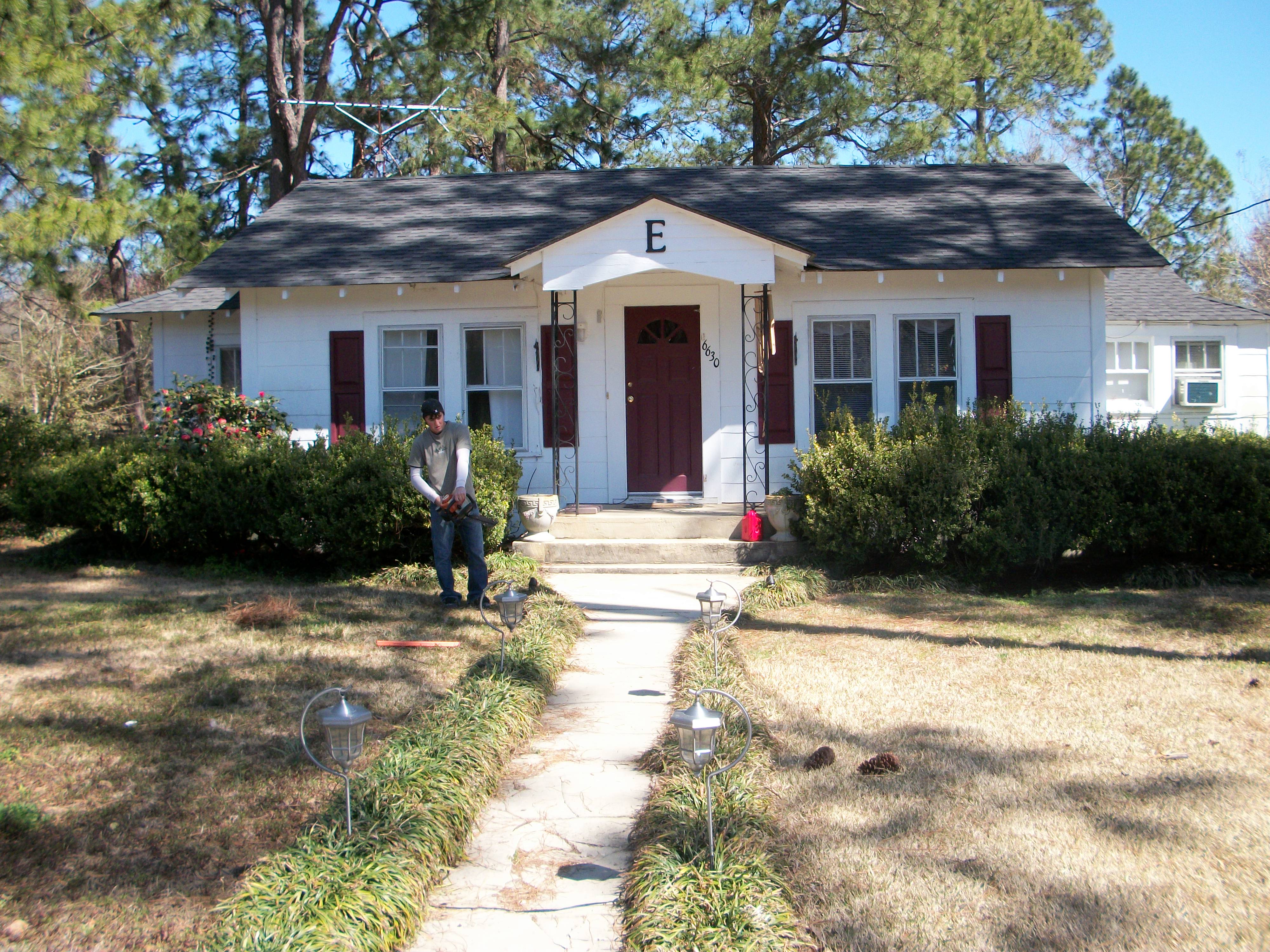
Related Photos:

Roseate Spoonbill. Boggy Creek Farms, Wayne County, 26 June 2014. Photo by Anonymous

Jim A., Bob J., and Bill H. along with other rep.

Roseate Spoonbill. Boggy Creek Farms, Wayne County, 27 June 2014. Photo by Anonymous

Roseate Spoonbill. Boggy Creek Farms, Wayne County, 26 June 2014. Photo by Anonymous

Highway 301 South-Jesup, Georgia 1

Live Oaks, Wormsloe Plantation, Savannah GA B&W

Last photo taken in 2011

Feb-April 2010 099
Feb-April 2010 043

Feb-April 2010 039

Silver Meteor
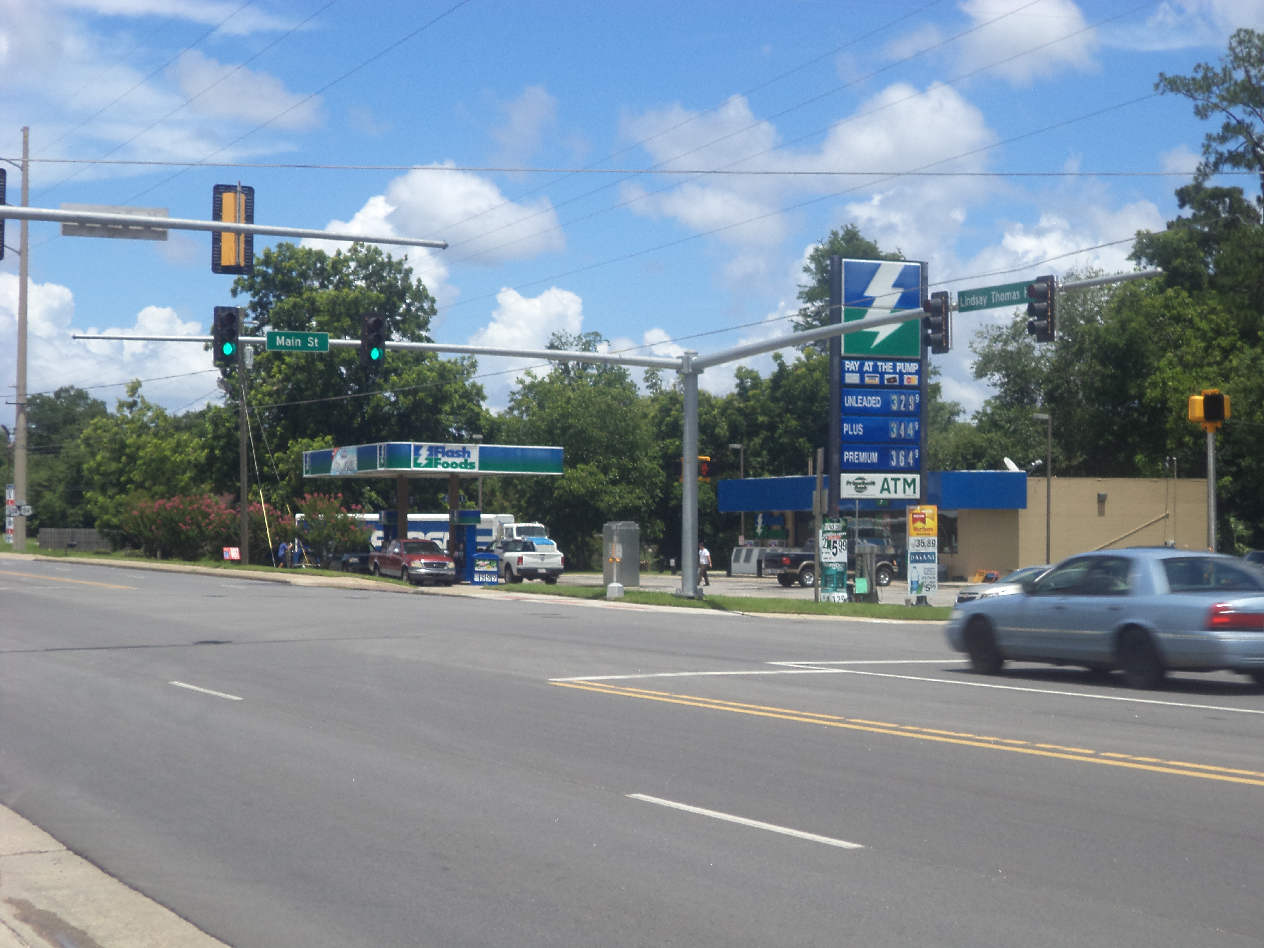
Flash Foods, Patterson
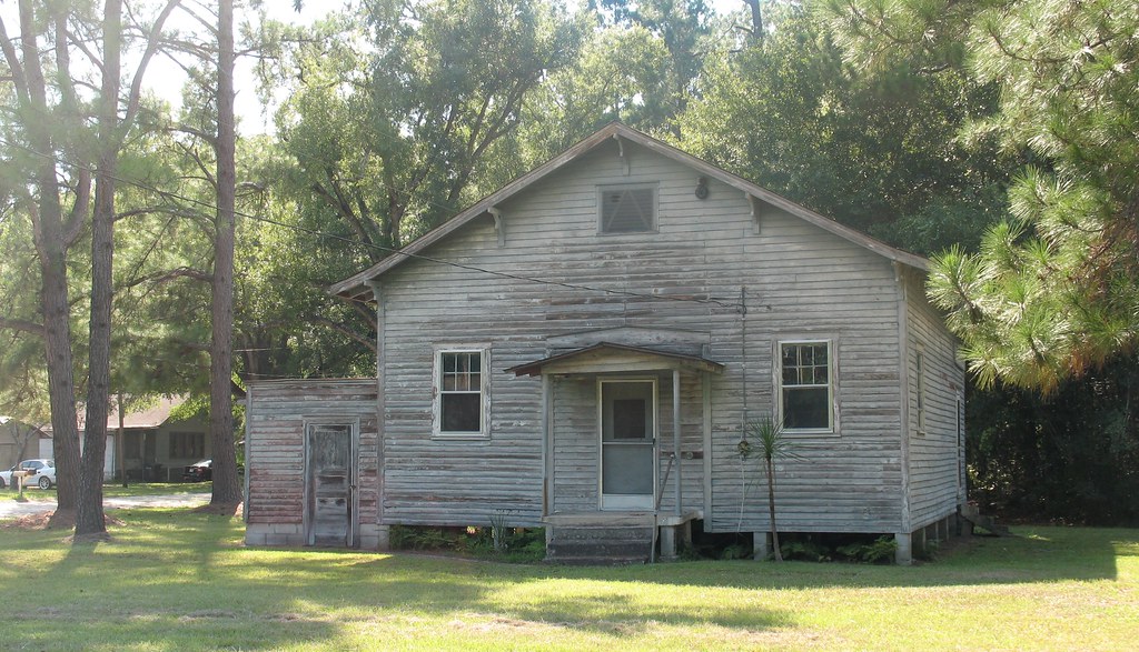
Old Schoolhouse 1 McKinnon GA
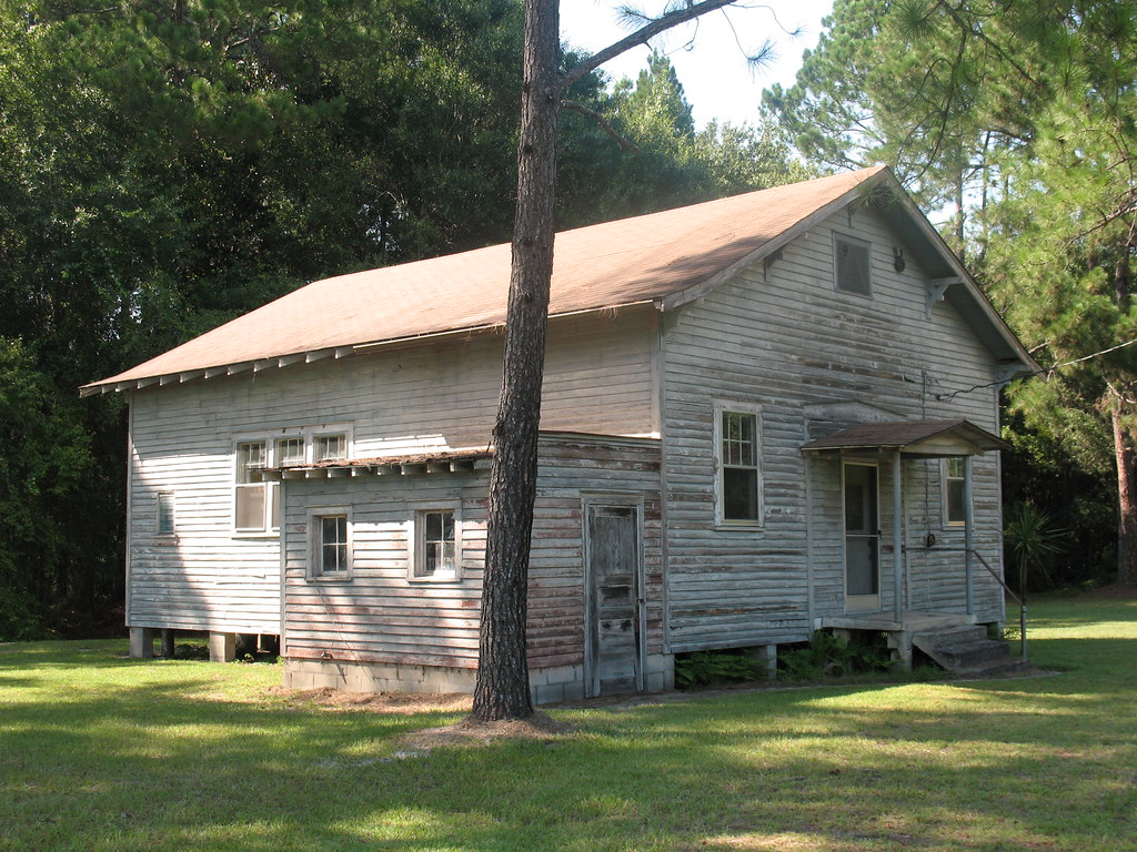
Old Schoolhouse 2 McKinnon GA
Ghost Sign Near Jesup GA
Topographic Map of Screven, GA, USA
Find elevation by address:

Places in Screven, GA, USA:
Places near Screven, GA, USA:
430 Nebraska Rd
851 Satilla Church Rd
1637 Bear Branch Rd
318 Old Spivey Rd
4979 Stanfield Rd
Wayne County
499 Sawmill Rd
GA-38, Patterson, GA, USA
Pine St, Jesup, GA, USA
5650 Womack Rd
GA-, Screven, GA, USA
11 Ammons Scott Rd
510 Oran Way
Patterson
US-84, Patterson, GA, USA
Hortense
561 Chapman Plantation Rd
Jesup
N Church St, Odum, GA, USA
East Pine Street
Recent Searches:
- Elevation of Corso Fratelli Cairoli, 35, Macerata MC, Italy
- Elevation of Tallevast Rd, Sarasota, FL, USA
- Elevation of 4th St E, Sonoma, CA, USA
- Elevation of Black Hollow Rd, Pennsdale, PA, USA
- Elevation of Oakland Ave, Williamsport, PA, USA
- Elevation of Pedrógão Grande, Portugal
- Elevation of Klee Dr, Martinsburg, WV, USA
- Elevation of Via Roma, Pieranica CR, Italy
- Elevation of Tavkvetili Mountain, Georgia
- Elevation of Hartfords Bluff Cir, Mt Pleasant, SC, USA