Elevation of Sunrise Cir, Ashland City, TN, USA
Location: United States > Tennessee > Cheatham County > Ashland City >
Longitude: -87.056248
Latitude: 36.2380027
Elevation: 121m / 397feet
Barometric Pressure: 100KPa
Elevation Map:
Satellite Map:
Related Photos:

Montgomery Bell Tunnel, Narrows of the Harpeth
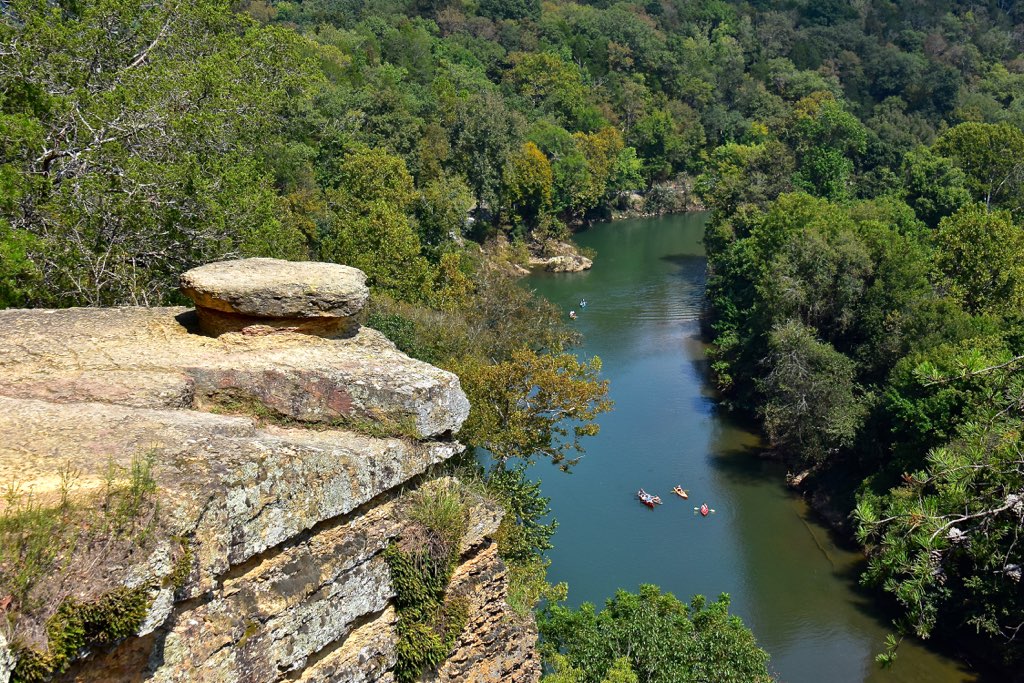
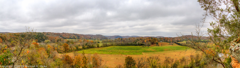
Narrows of the Harpeth Overlook

Cheatham County Courthouse Front (Oct. 2014) - Ashland City, TN
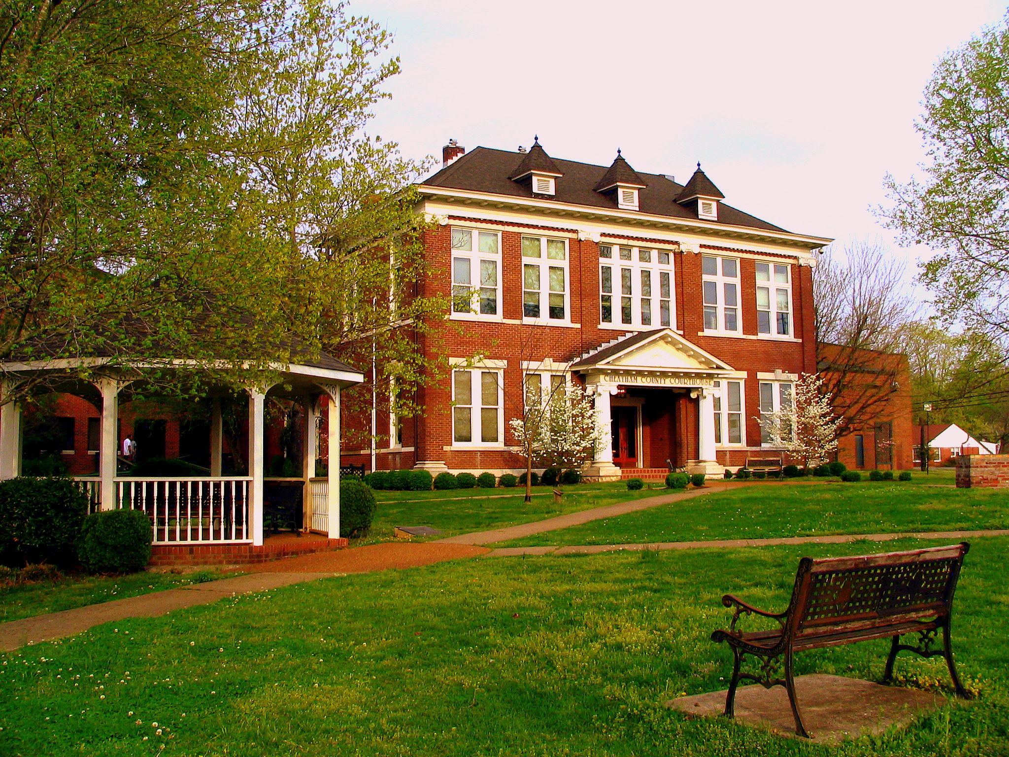
Cheatham County Courthouse, Ashland City, TN
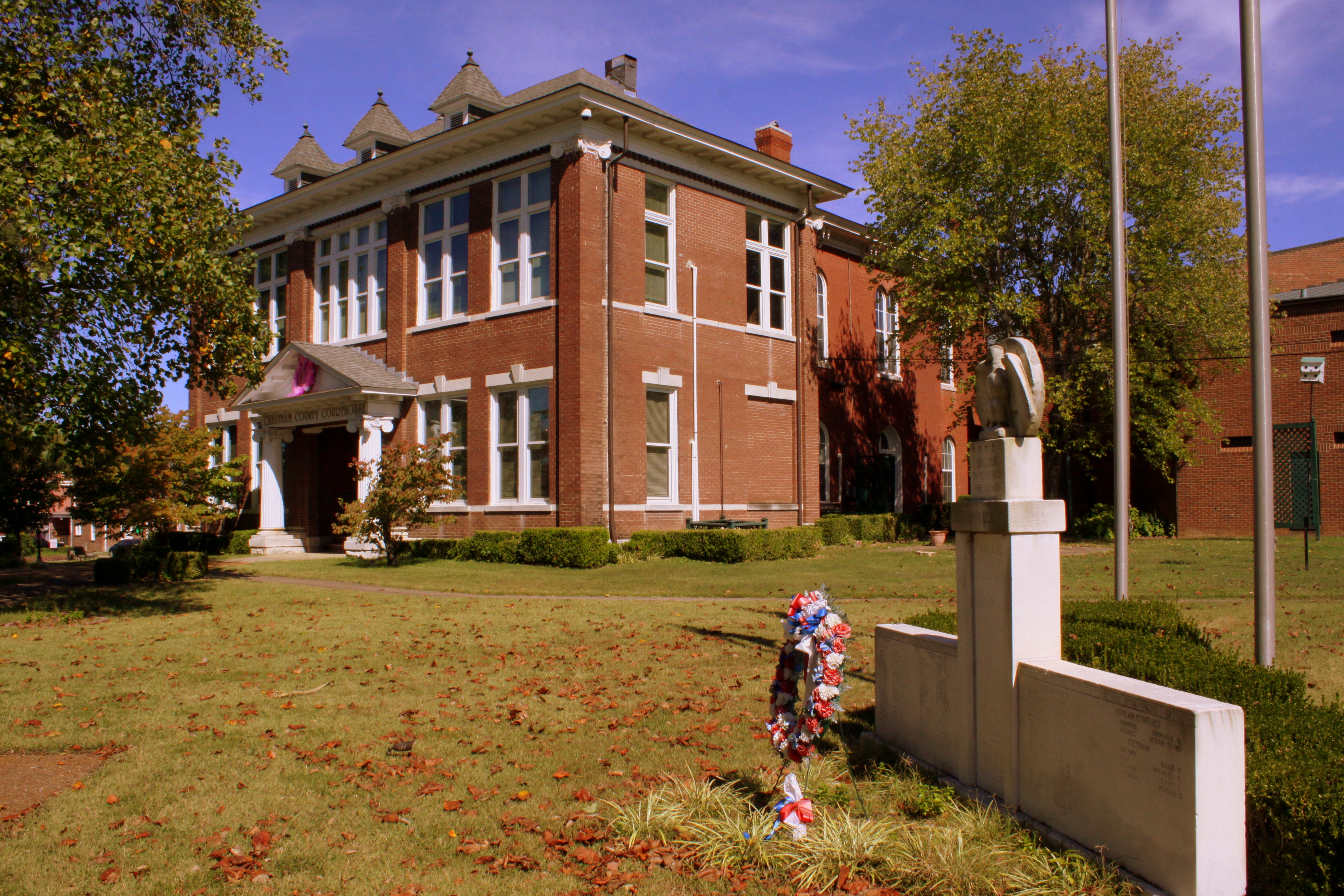
Cheatham County Courthouse and War Memorial (Oct. 2014) - Ashland City, TN
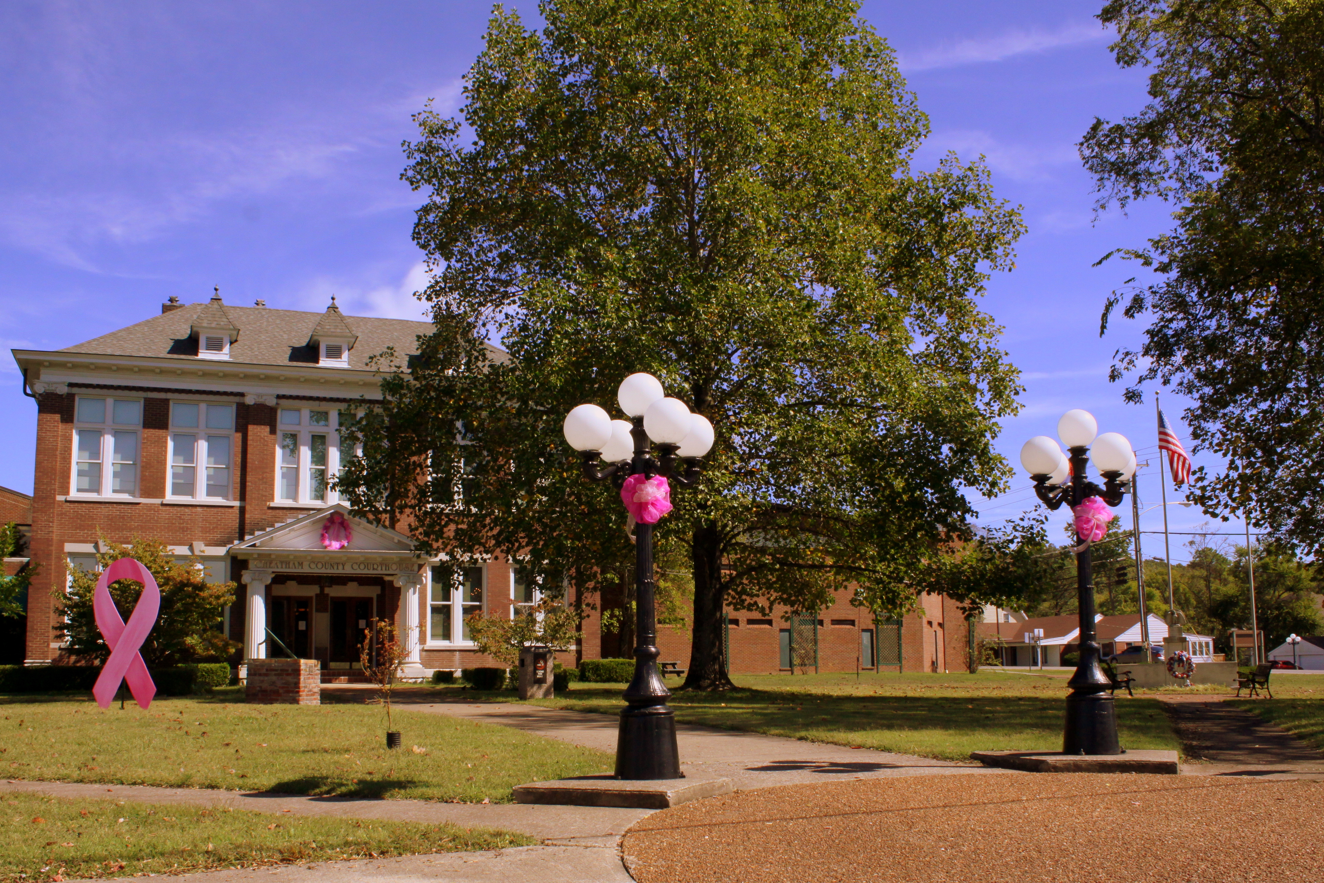
Cheatham County Courthouse Grounds(Oct. 2014) - Ashland City, TN

Cheatham County, TN Courthouse - Ashland City, TN

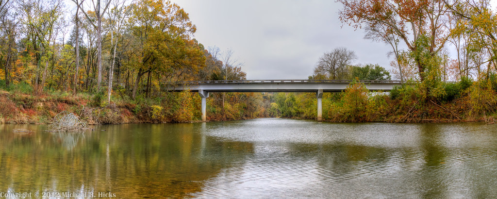
Cheatham County Bicentennial Trail Bridge
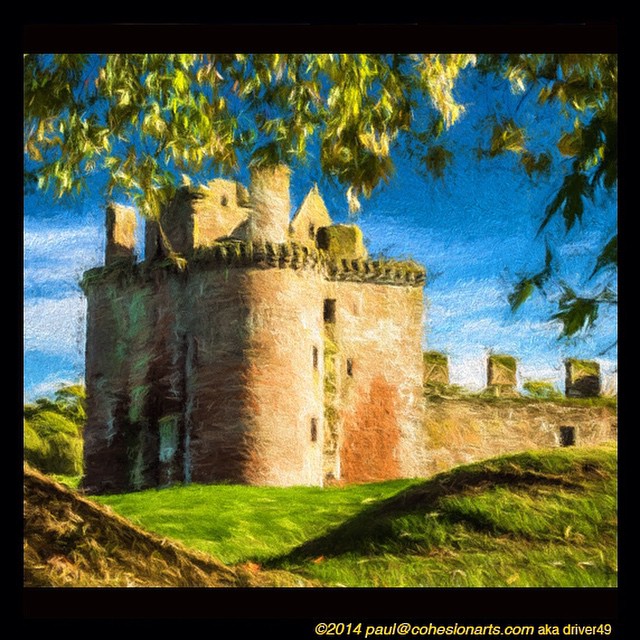
Anothere view of Caerlaverock Castle - as JMW Turner might have painted it. @tintedsteam @MrTurnerFilm @historicscotland @welovehistory @visitscotland @GreatBritain @TwitterUK The Instagram really doesn’t doesn’t do it justice… #Medieval #medievaleuro

Anothere view of Caerlaverock Castle - as JMW Turner might have painted it. @tintedsteam @MrTurnerFilm @historicscotland @welovehistory @visitscotland @GreatBritain @TwitterUK The Instagram really doesn’t doesn’t do it justice… #Medieval #medievaleuro
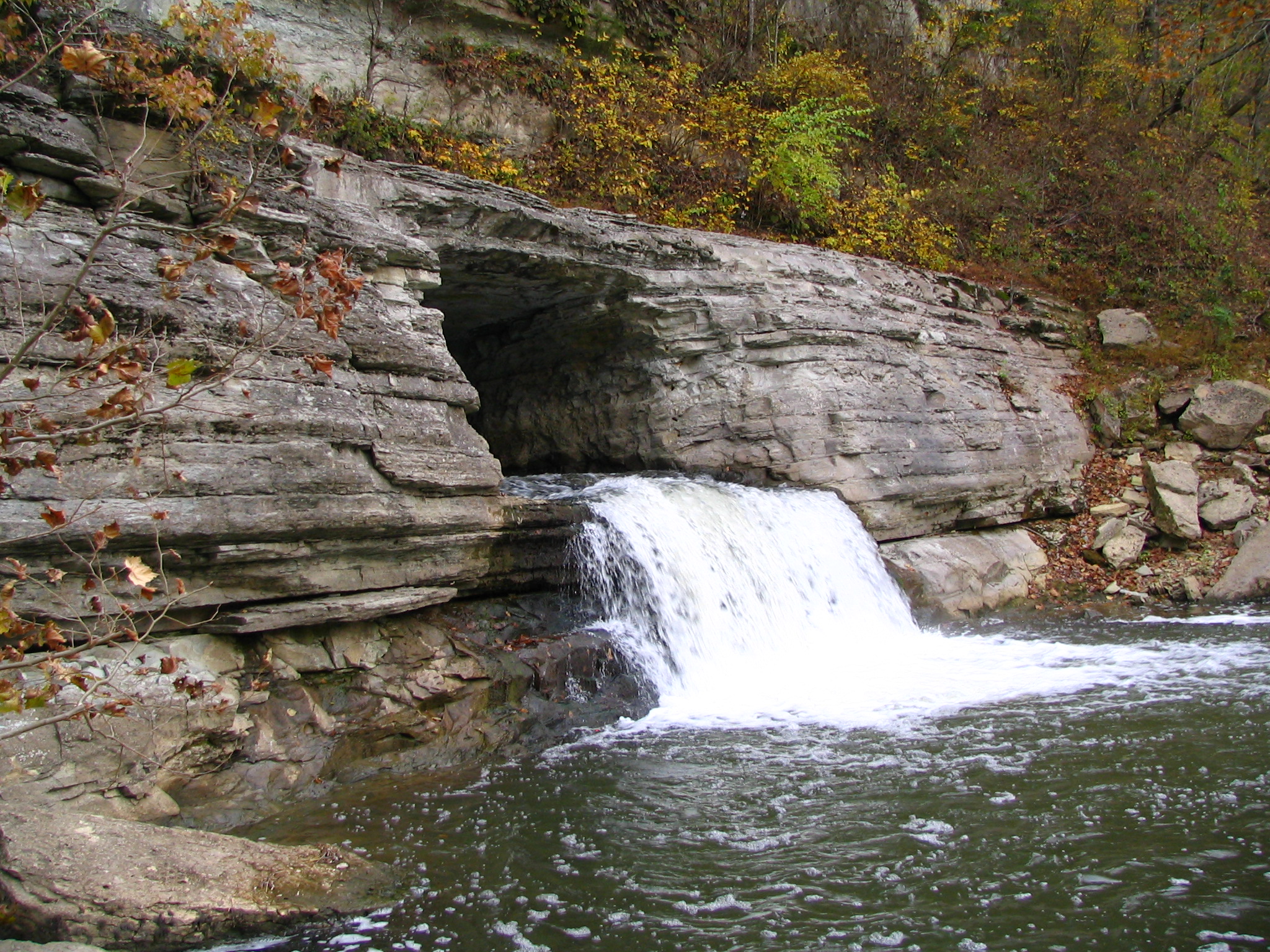
Alternate view of Montgomery Bell Tunnel
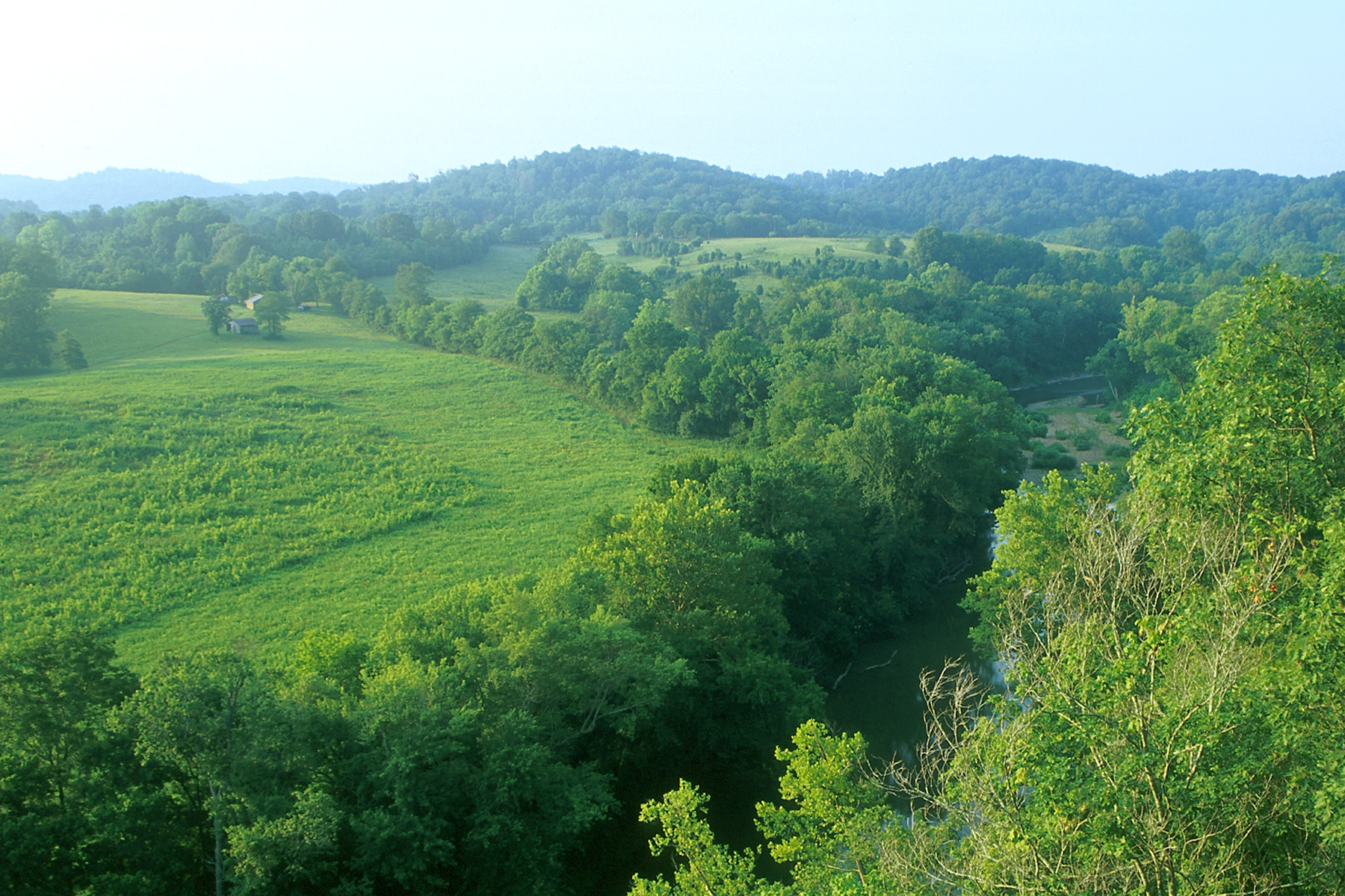
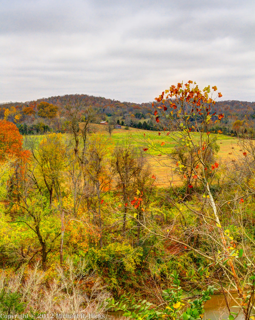
Bluff Overlook
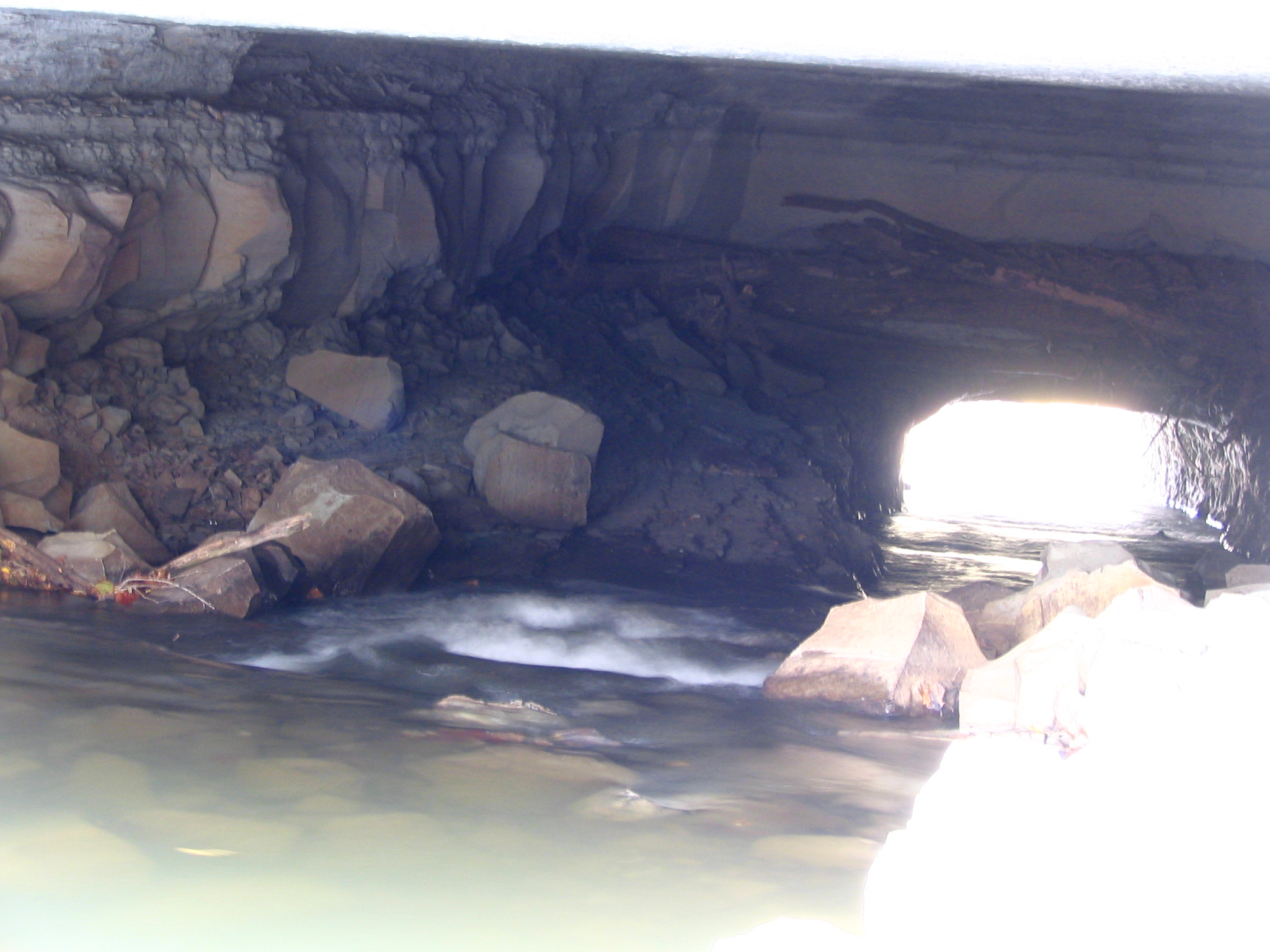
Alternate view of Montgomery Bell Tunnel
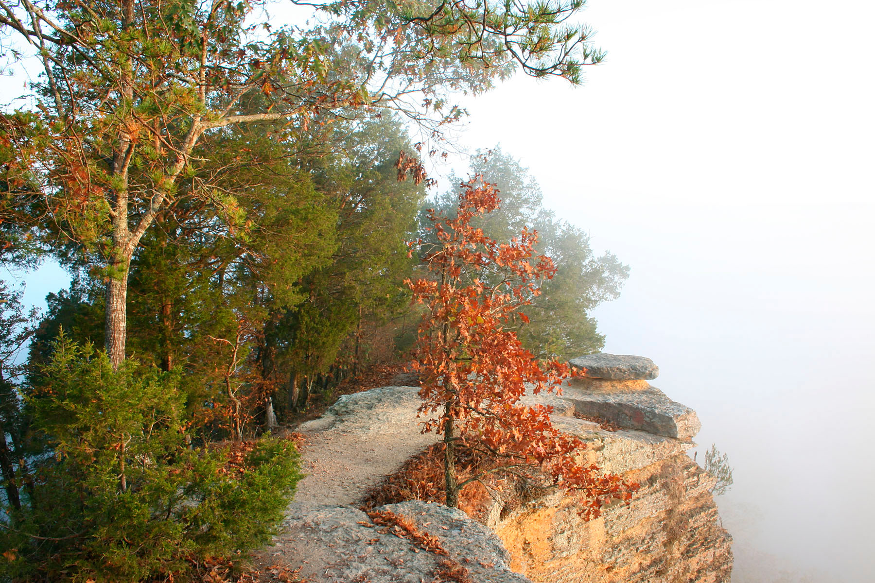
Bluff Overlook
Bell Cemetery - 1
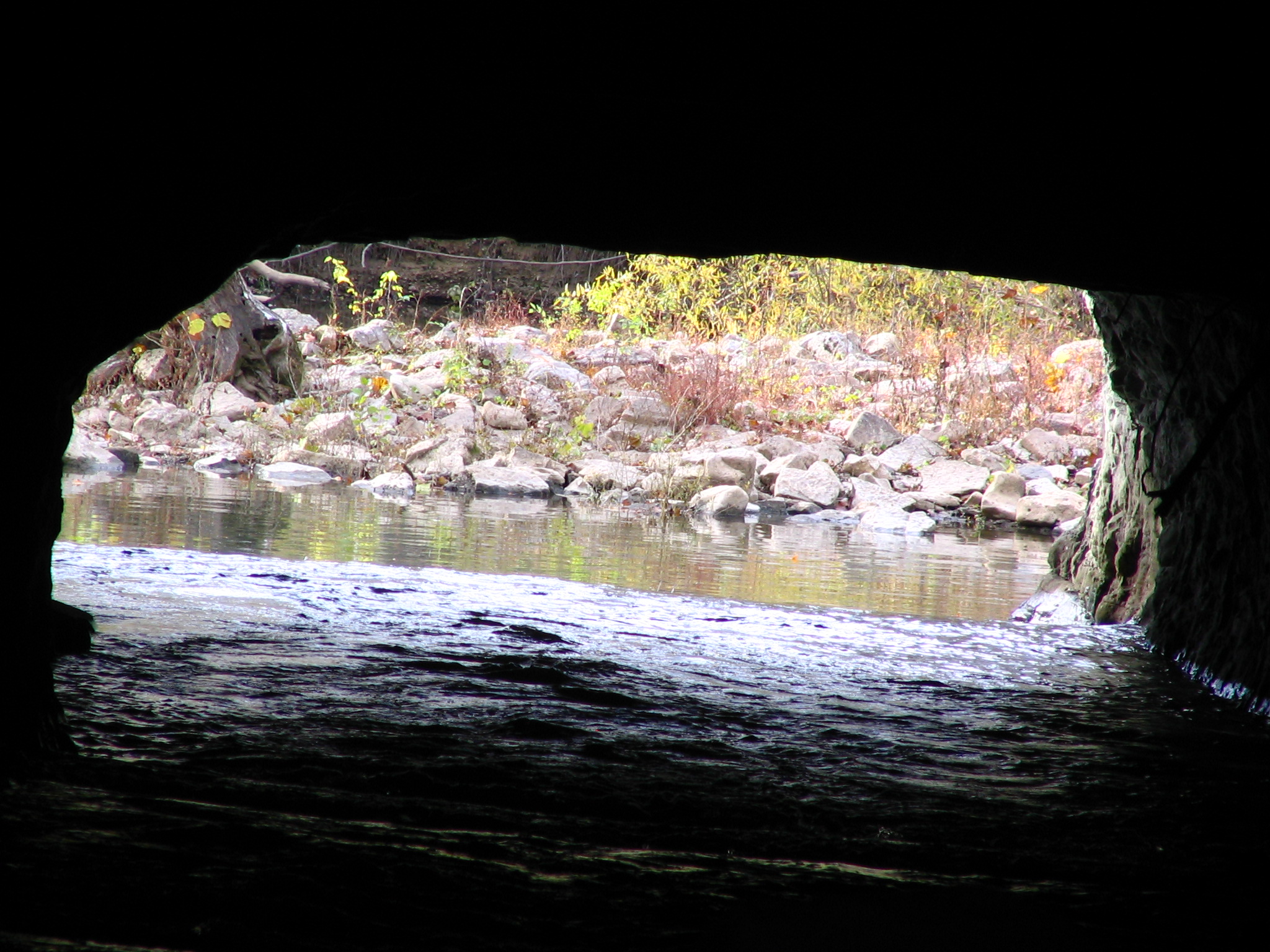
Alternate view of Montgomery Bell Tunnel
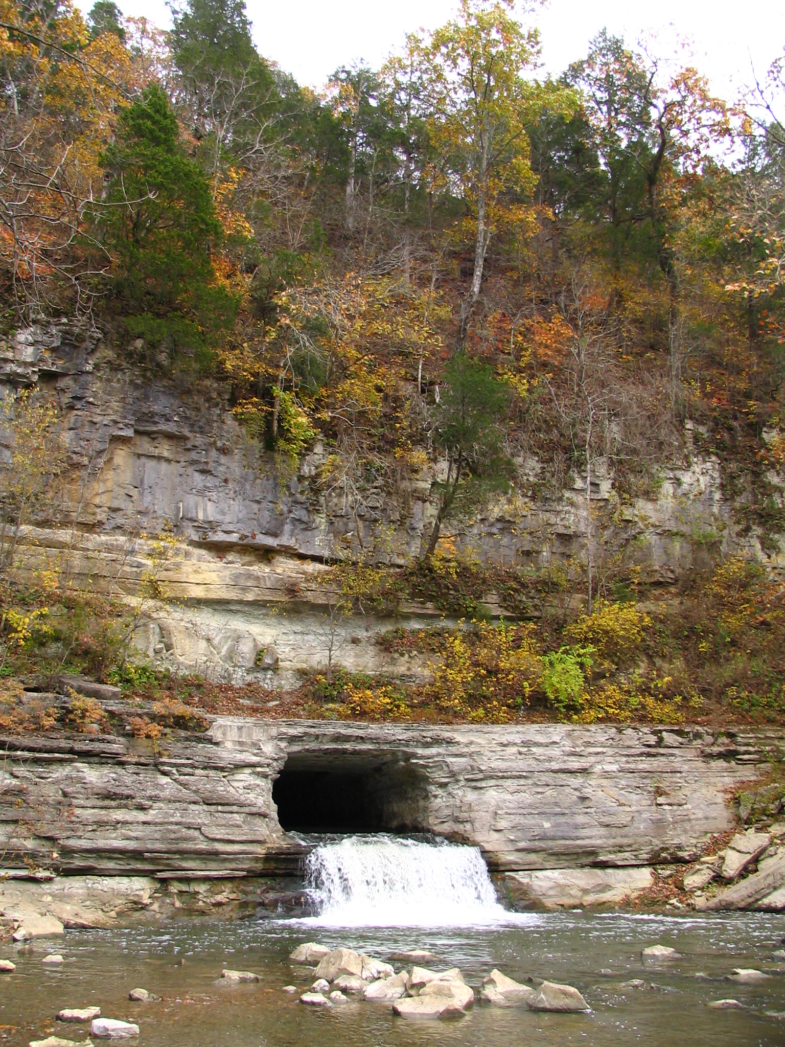
Alternate view of Montgomery Bell Tunnel
Clear View of Montgomery Bell's Gravesite
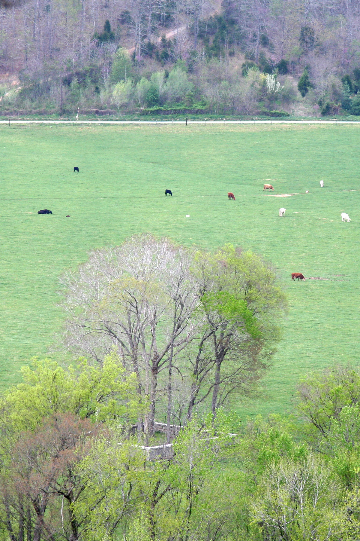
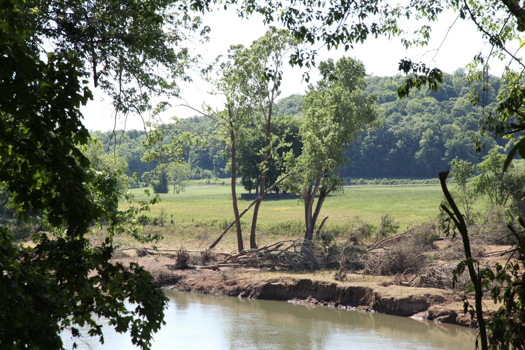
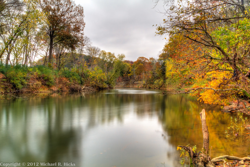
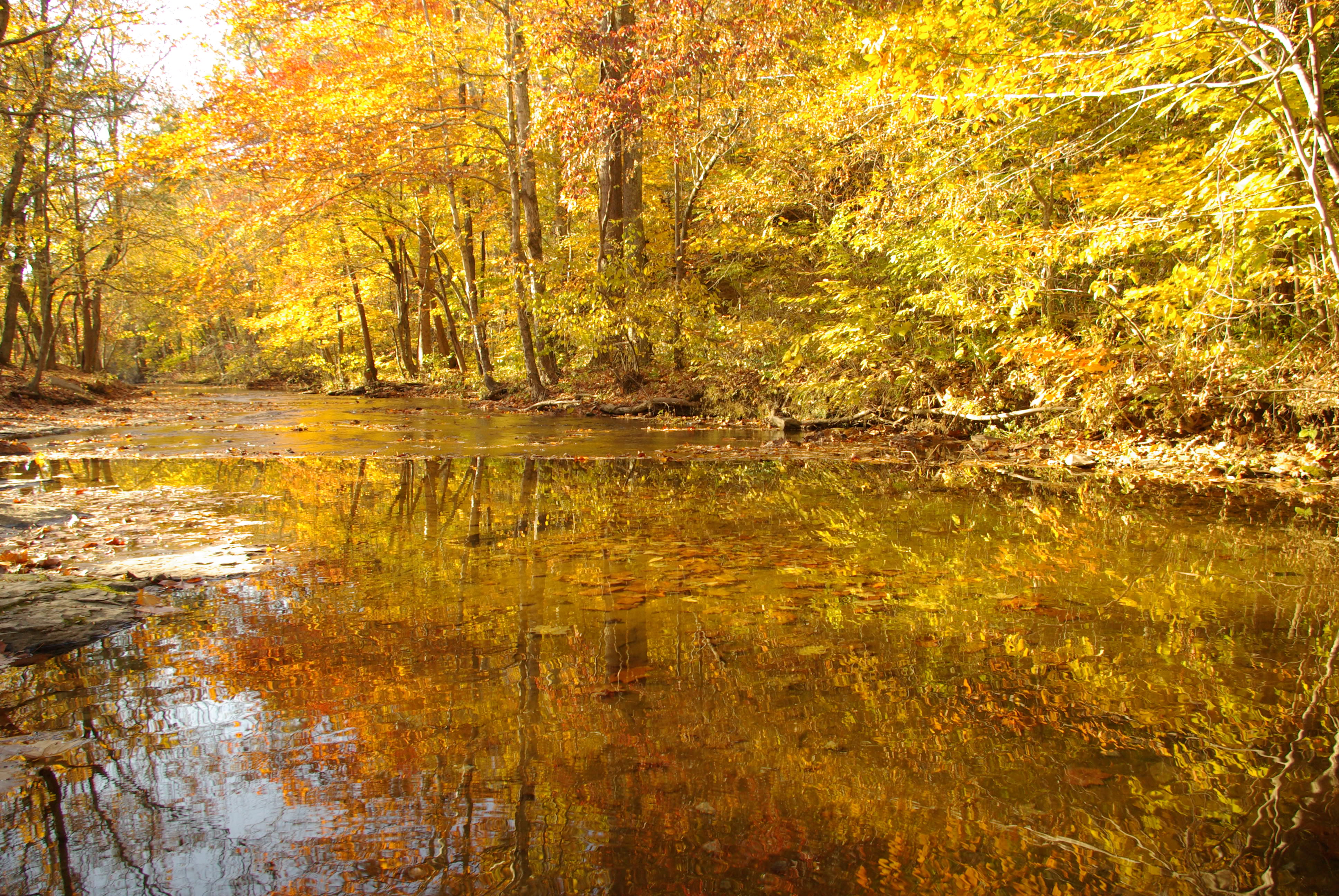
River View
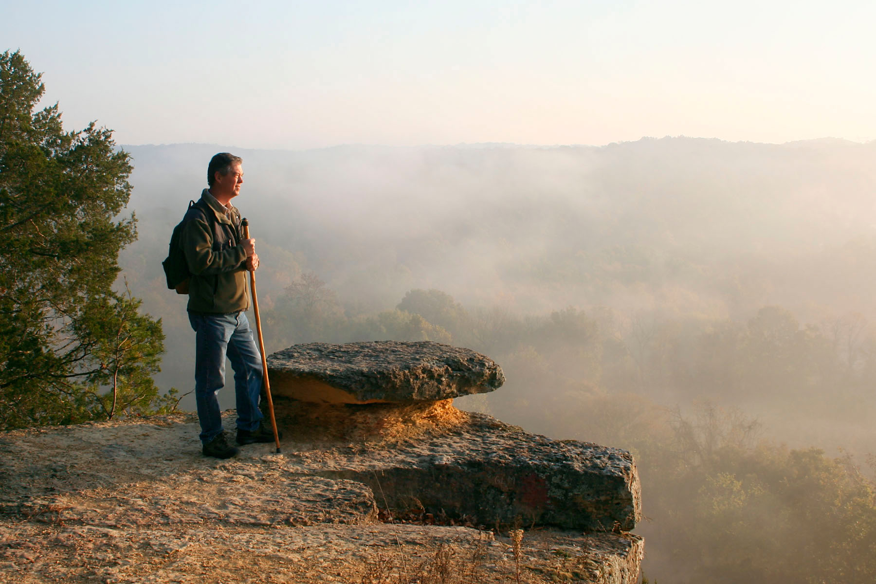
Good Morning
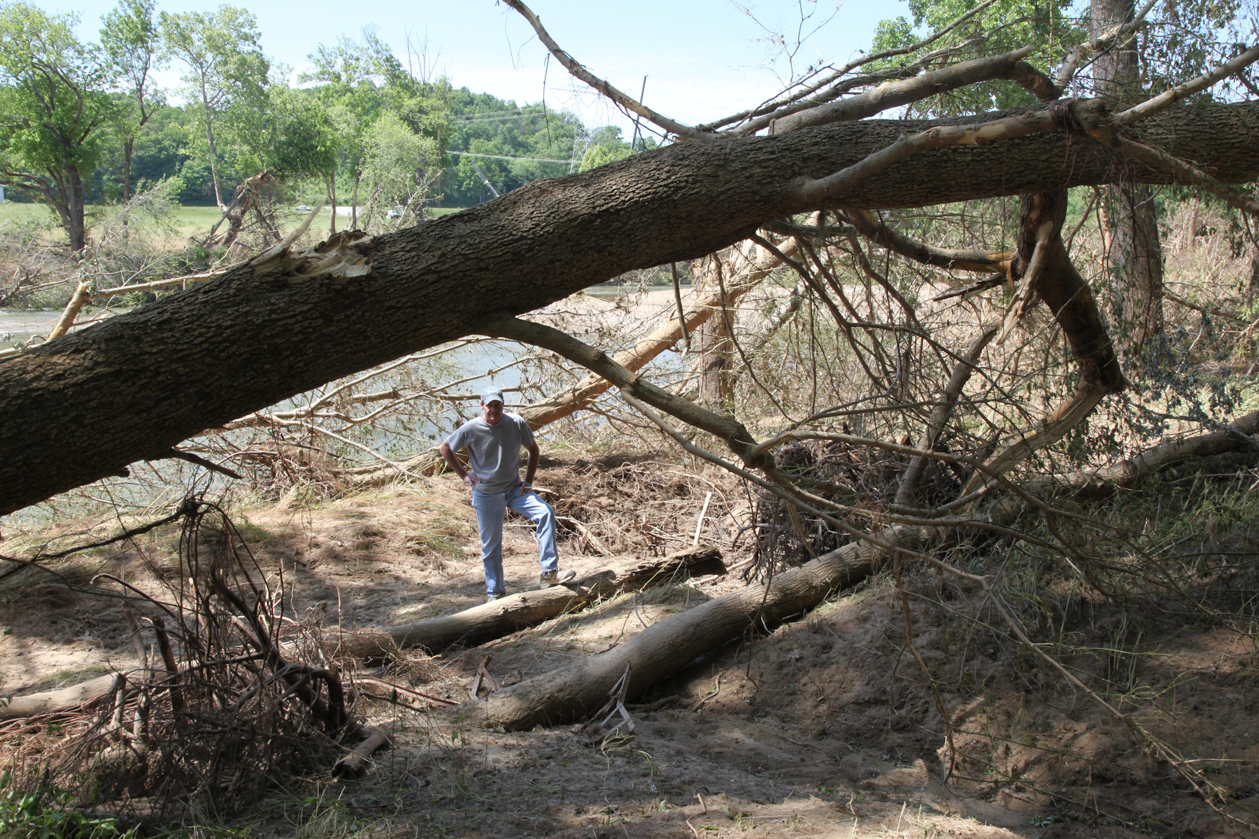
Viewing the Damage
Harpeth River State Park - Gossett Tract State Natural Area
Leatherwood Creek
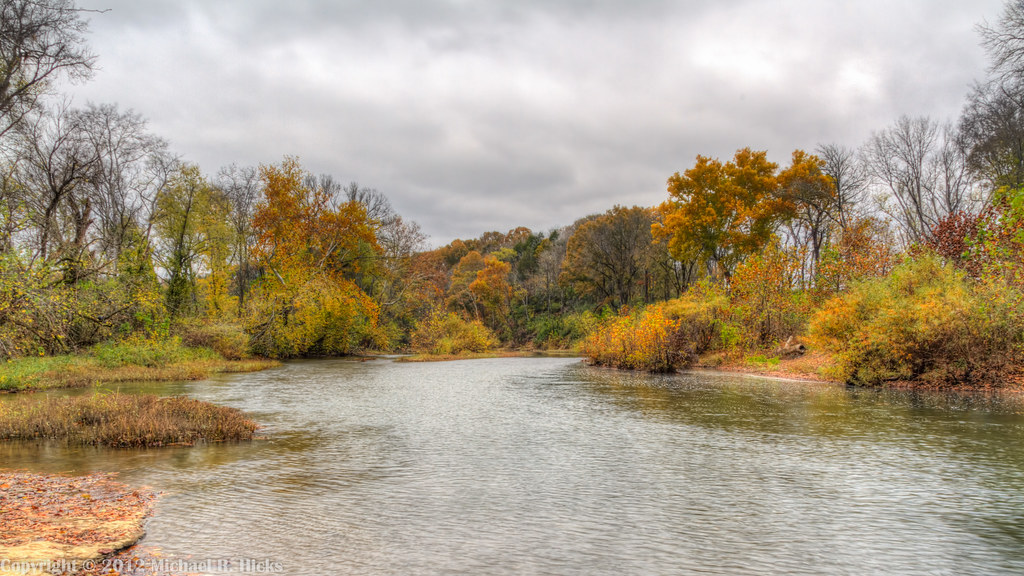
Harpeth River State Park - Gossett Tract State Natural Area
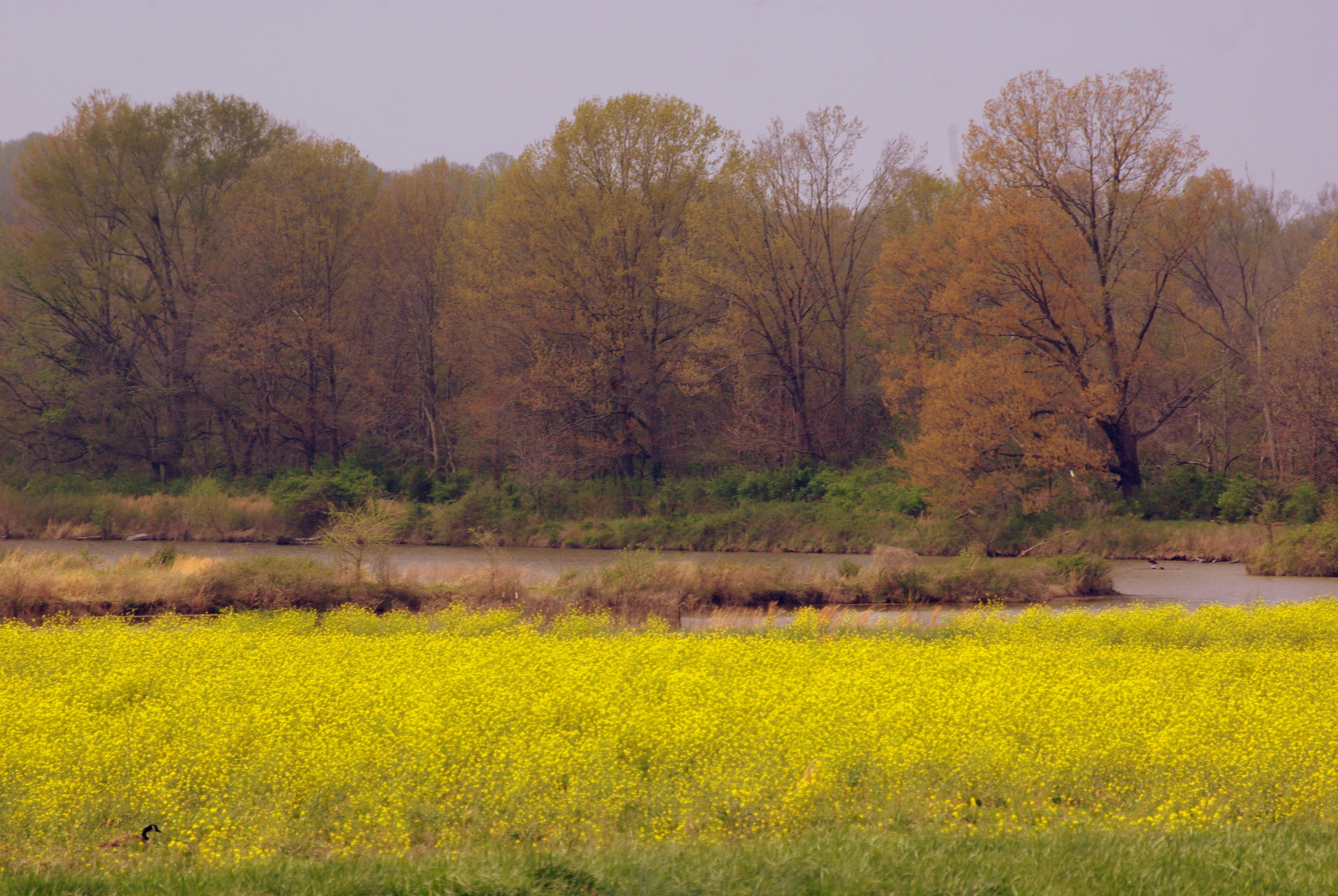
Beautiful hike in #bellsbend park. #hikenashville #nashville
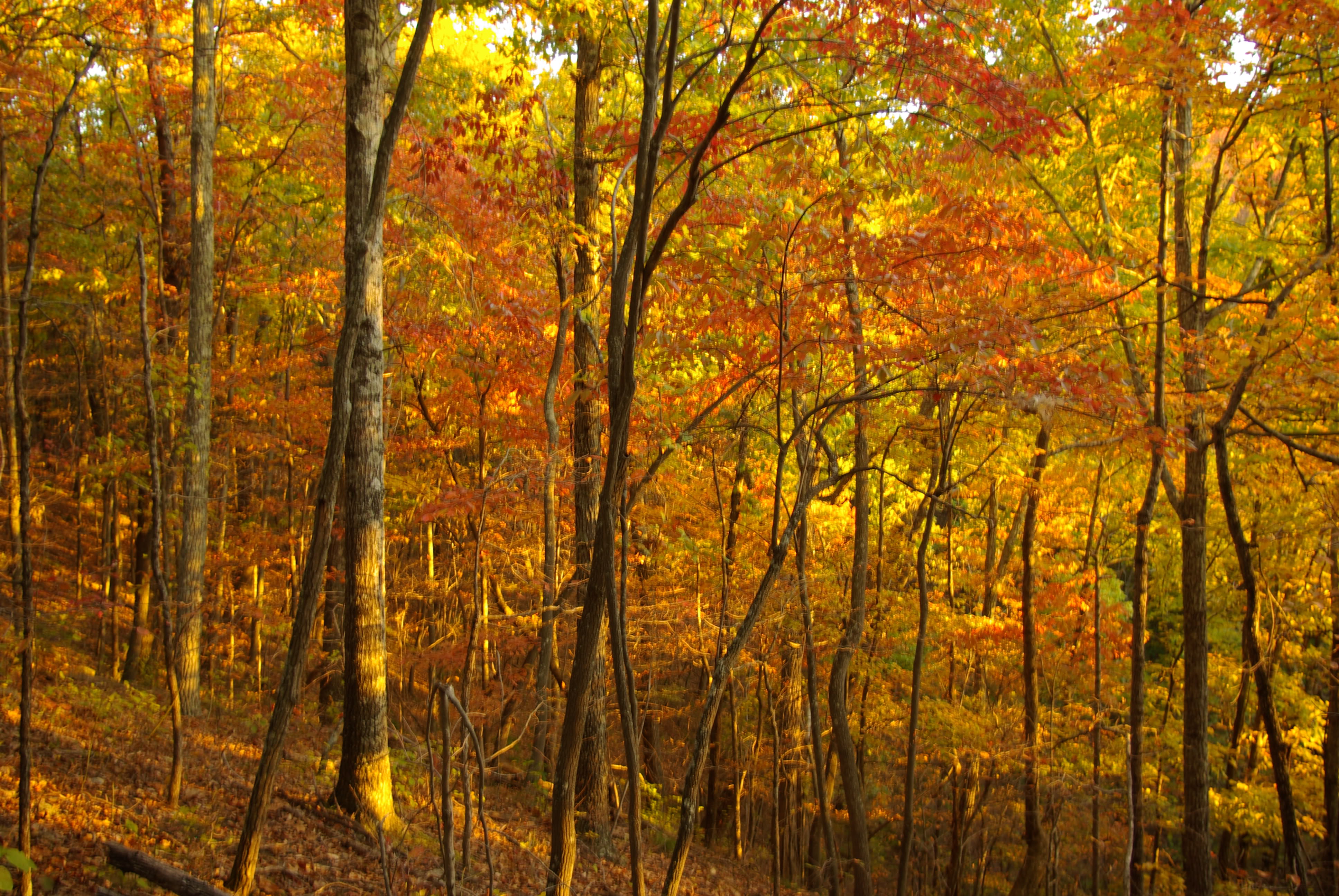
Gold Fall at Beaman
Fall Sunset at Beaman Park 2008
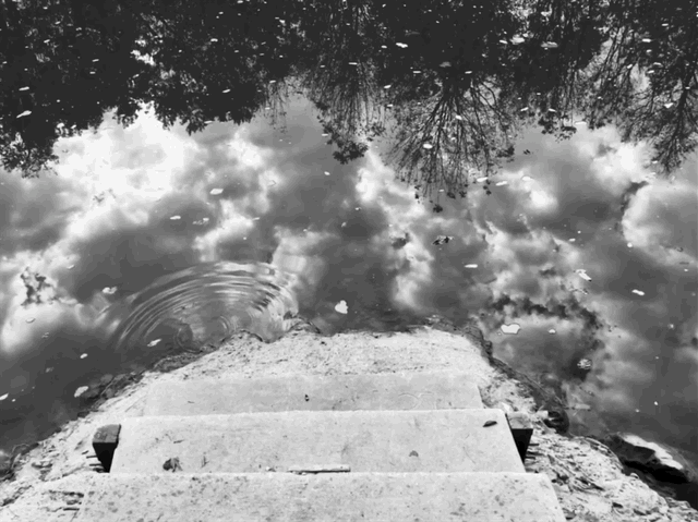
Stairway to heaven

Bells Bend Park (Nashville, TN)
Bells Bend Park (Nashville, TN)
Beaman Park
Cedar Hill Road
Bells Bend Park (Nashville, TN)
Bells Bend Park (Nashville, TN)
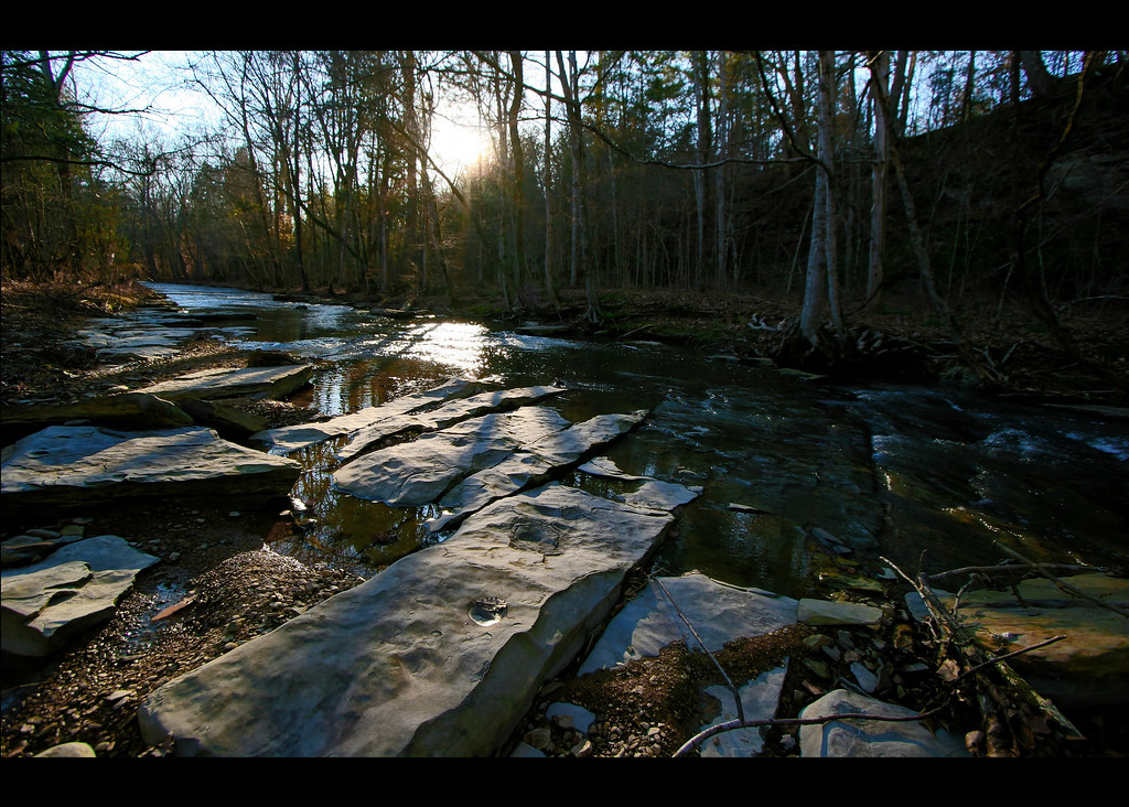
Harpeth River State Park - Narrows of the Harpeth
getolympus @visitscotland All Roads Lead to Wester Ros - Scottish Highlands @Glasgow @Dumfries @AberdeenAngusUK @KingdomOfFife @historicscotland @welovehistory @GreatBritain @TwitterUK —>>> I'll he returning to the UK Oct 8-22, #Glasgow, #Dumfries
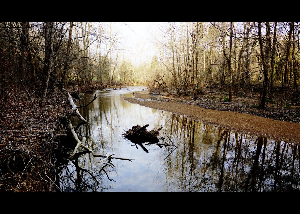
Leatherwood Creek

Harpeth River State Park - Narrows of the Harpeth

Bells Bend Park (Nashville, TN)
Harpeth River State Park - Harris Street Bridge Canoe Access
Harpeth River State Park - Narrows of the Harpeth

@IsleOSkye @visitscotland @GreatBritain Just over the bridge, coming into the Isle of Skye in the #Scotish #Highlands - October 2012 #Scotland #photooftheday #thebest_capture #ig_masterpiece #nuriss_tag #awe_inspiringshots #pro_ig #global_highli
Topographic Map of Sunrise Cir, Ashland City, TN, USA
Find elevation by address:

Places near Sunrise Cir, Ashland City, TN, USA:
1020 Floy Ln
Floy Ln, Ashland City, TN, USA
River Rd, Ashland City, TN, USA
1065 Ed Burgess Rd
Ashland Farms Apartments
Ashland City
100 N Main St
115 N Vine St
171 Shoals Landing
Little Marrowbone Rd, Ashland City, TN, USA
TN-12, Ashland City, TN, USA
275 Ed Harris Rd
277 Ed Harris Rd
1011 Greenbrier Rd
1836 Tn-12
1836 Tn-12
314 Bandy Rd
Bandy Road
1101 Abernathy Rd
1533 Primm Rd
Recent Searches:
- Elevation of Corso Fratelli Cairoli, 35, Macerata MC, Italy
- Elevation of Tallevast Rd, Sarasota, FL, USA
- Elevation of 4th St E, Sonoma, CA, USA
- Elevation of Black Hollow Rd, Pennsdale, PA, USA
- Elevation of Oakland Ave, Williamsport, PA, USA
- Elevation of Pedrógão Grande, Portugal
- Elevation of Klee Dr, Martinsburg, WV, USA
- Elevation of Via Roma, Pieranica CR, Italy
- Elevation of Tavkvetili Mountain, Georgia
- Elevation of Hartfords Bluff Cir, Mt Pleasant, SC, USA