Elevation of Floy Ln, Ashland City, TN, USA

Location: United States > Tennessee > Cheatham County > Ashland City >

Longitude: -87.061731

Latitude: 36.245439

Elevation: 121m / 397feet

Barometric Pressure: 100KPa

Elevation Map:

elevation map of Floy Ln, Ashland City, TN, USA

Satellite Map:

Satellite map of Floy Ln, Ashland City, TN, USA

Related Photos:

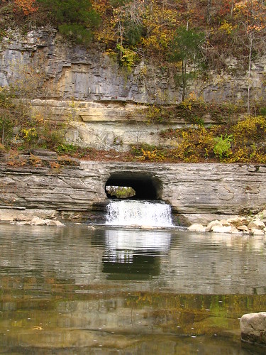
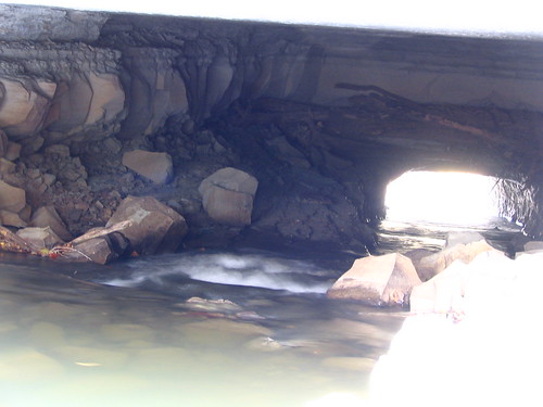
tennessee 1820 nationalhistoriclandmark nationalregisterofhistoricplaces whitebluff cheathamcounty harpethriver harpethnarrowsstatepark montgomerybelltunnel pattisonforge nationalengineeringlandmark bmok bmok101
Montgomery Bell Tunnel, Narrows of the Harpeth
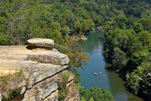
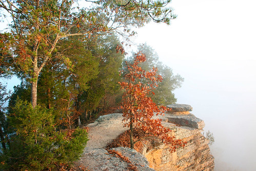
skyemarthaler narrowsoftheharpeth harpethriver harpethriverstatepark tennessee cheathamcounty nikon overlook scenicview middletennessee
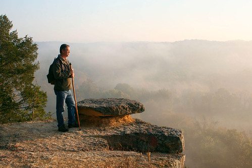
Narrows of the Harpeth Overlook
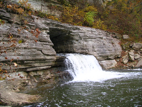
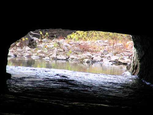
tennessee cheathamcounty harpethriver harpethnarrowsstatepark montgomerybelltunnel bmok bmok2
Alternate view of Montgomery Bell Tunnel
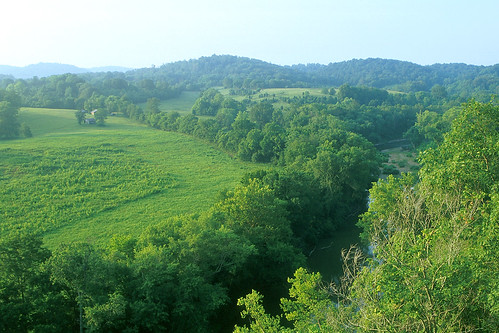
landscape photo tennessee narrowsoftheharpeth
Bluff Overlook
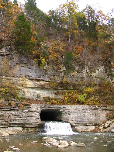
tennessee cheathamcounty harpethriver harpethnarrowsstatepark montgomerybelltunnel bmok bmok2
Alternate view of Montgomery Bell Tunnel
landscape photo tennessee narrowsoftheharpeth
Bluff Overlook
bench tennessee gazebo courthouse ashlandcity countycourthouse cheathamcounty tn249 uscctncheatham tn12 tn49 brentandmarilynnpersonalfavorite bmok
Cheatham County Courthouse, Ashland City, TN
tennessee cheathamcounty harpethriver harpethnarrowsstatepark montgomerybelltunnel bmok bmok2
Alternate view of Montgomery Bell Tunnel
tennessee cheathamcounty harpethriver harpethnarrowsstatepark montgomerybelltunnel bmok bmok2
Alternate view of Montgomery Bell Tunnel
water river fritzmb
River View
selfportrait photo tennessee narrowsoftheharpeth
Good Morning
sycamorecreekrailroadbridge ashlandcity tn tennessee cheathamcounty 1901 bridge tennesseecentral railroadbridge pedestrianbridge railstotrails railstotrailsconservancy cumberlandriverbicentennialtrail sycamorecreek parkerthroughtruss bmok brentandmarilynnpersonalfavorite top10of2014
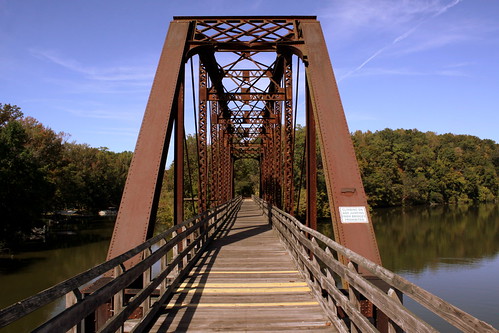
Cheatham County Bicentennial Trail Bridge
square squareformat iphoneography instagramapp uploaded:by=instagram
Anothere view of Caerlaverock Castle - as JMW Turner might have painted it. @tintedsteam @MrTurnerFilm @historicscotland @welovehistory @visitscotland @GreatBritain @TwitterUK The Instagram really doesn’t doesn’t do it justice… #Medieval #medievaleuro

tn tennessee courthouse ashlandcity countycourthouse cheathamcounty bmok bmok2
Cheatham County Courthouse Front (Oct. 2014) - Ashland City, TN
landscape photo tennessee cemetary montgomerybell narrowsoftheharpeth
Bell Cemetery - 1
tn tennessee courthouse warmemorial ashlandcity countycourthouse cheathamcounty bmok bmok2
Cheatham County Courthouse and War Memorial (Oct. 2014) - Ashland City, TN
tn tennessee courthouse warmemorial ashlandcity countycourthouse cheathamcounty bmok bmok2
Cheatham County Courthouse Grounds(Oct. 2014) - Ashland City, TN
flood may disaster 2010 harpethriver narrowsoftheharpeth
Clear View of Montgomery Bell's Gravesite
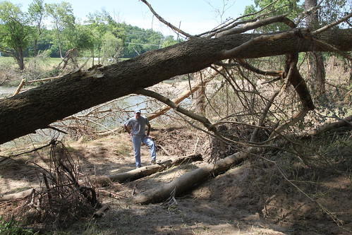
flood may disaster 2010 harpethriver narrowsoftheharpeth
Viewing the Damage
history rural photography photo nikon tennessee engineering pic oldbuildings historic photograph americana courthouse thesouth hdr ruralamerica engineeringasart ashlandcity courtsquare historicbuilding 2015 beautifuldecay smalltownamerica nationalregisterofhistoricplaces photomatix bracketed middletennessee ruraltennessee cheathamcounty hdrphotomatix ofandbyengineers ruralview fadingamerica hdrimaging uscountycourthouses vanishingamerica oldandbeautiful ibeauty historyisallaroundus ashlandcitytennessee hdraddicted tennesseephotographer d5200 structuresofthesouth southernphotography screamofthephotographer hdrvillage engineeringisart ashlandcitytn jlrphotography photographyforgod worldhdr tennesseehdr nikond5200 hdrrighthererightnow engineerswithcameras hdrworlds jlramsaurphotography tennesseecountycourthouses americanrelics it’saretroworldafterall cheathamcountytncourthouse cheathamcountytennesseecourthouse
Cheatham County, TN Courthouse - Ashland City, TN
tn nashville
Bells Bend Park (Nashville, TN)
tn nashville
Bells Bend Park (Nashville, TN)
leatherwoodcreek
Leatherwood Creek
tn nashville
Bells Bend Park (Nashville, TN)
tn nashville
Bells Bend Park (Nashville, TN)
geotagged unitedstates hiking tennessee kingstonsprings tennesseestateparks harpethriverstatepark exif:isospeed=400 exif:focallength=28mm geo:state=tennessee geo:countrys=unitedstates camera:model=canoneos7d exif:model=canoneos7d exif:lens=18200mm geo:city=kingstonsprings exif:aperture=ƒ10 moundbottomhistorical geo:lat=3614833856 geo:lon=8712055114 geo:lat=36148338333333 geo:lon=87120551666667
Harpeth River State Park - Narrows of the Harpeth
geotagged unitedstates hiking tennessee kingstonsprings tennesseestateparks harpethriverstatepark exif:isospeed=100 exif:focallength=18mm geo:state=tennessee geo:countrys=unitedstates camera:model=canoneos7d exif:model=canoneos7d exif:lens=18200mm geo:city=kingstonsprings exif:aperture=ƒ22 moundbottomhistorical geo:lat=3613619790 geo:lon=8710101737 geo:lat=36136198333333 geo:lon=87101016666667
Harpeth River State Park - Gossett Tract State Natural Area
geotagged unitedstates hiking tennessee kingstonsprings tennesseestateparks harpethriverstatepark exif:isospeed=200 exif:focallength=18mm geo:state=tennessee geo:countrys=unitedstates camera:model=canoneos7d exif:model=canoneos7d exif:lens=18200mm geo:city=kingstonsprings exif:aperture=ƒ16 moundbottomhistorical geo:lat=3614314273 geo:lon=8712430654 geo:lon=87124306666667 geo:lat=36143143333333
Harpeth River State Park - Narrows of the Harpeth
uploaded:by=flickrmobile flickriosapp:filter=nofilter
Sycamore Hills
usa geotagged unitedstates tennessee kingstonsprings tennesseestateparks harpethriverstatepark exif:isospeed=200 geo:state=tennessee geo:countrys=unitedstates geo:city=kingstonsprings exif:aperture=ƒ10 geo:lon=8712218500 moundbottomhistorical geo:lat=3614634667 geo:lon=87122185 geo:lat=36146346666667
Harpeth River State Park - Narrows of the Harpeth
geotagged unitedstates hiking tennessee kingstonsprings tennesseestateparks harpethriverstatepark exif:isospeed=100 exif:focallength=18mm geo:state=tennessee geo:countrys=unitedstates camera:model=canoneos7d exif:model=canoneos7d exif:lens=18200mm geo:city=kingstonsprings exif:aperture=ƒ35 moundbottomhistorical geo:lat=3614297291 geo:lon=8712415277 geo:lon=87124153333333 geo:lat=36142973333333
Harpeth River State Park - Narrows of the Harpeth
tn nashville
Gold Fall at Beaman
tn nashville
Fall Sunset at Beaman Park 2008
Stairway to heaven
tn burgessfallsstatepark
Beaman Park (Eaton's Creek)
tn nashville
Bells Bend Park (Nashville, TN)
usa west geotagged unitedstates nashville hiking tennessee beamanpark canon7d nashvillehikingmeetup sigma18250mmf3563dcmacrooshsm geo:lat=3626339300 geo:lon=8689481000
Sedge Hill Trail - Beaman Park - Feb. 22, 2014
usa geotagged spring unitedstates nashville hiking tennessee bellsbendpark canon7d sigma18250mmf3563dcmacrooshsm watkinshistorical geo:lat=3615295960 geo:lon=8693048440
Bells Bend Outdoor Expo - April 5, 2014
tn burgessfallsstatepark
Beaman Park
tn cheathamcounty cedarhillroad
Cedar Hill Road
panorama usa landscape geotagged spring unitedstates nashville hiking tennessee hdr photomatix bellsbendpark canon7d sigma18250mmf3563dcmacrooshsm watkinshistorical geo:lat=3615353625 geo:lon=8693291369
Bells Bend Outdoor Expo - April 5, 2014