Elevation of N Vine St, Ashland City, TN, USA
Location: United States > Tennessee > Cheatham County > Ashland City >
Longitude: -87.067402
Latitude: 36.2773916
Elevation: 127m / 417feet
Barometric Pressure: 100KPa
Elevation Map:
Satellite Map:
Related Photos:

Pleasant View, Tennessee

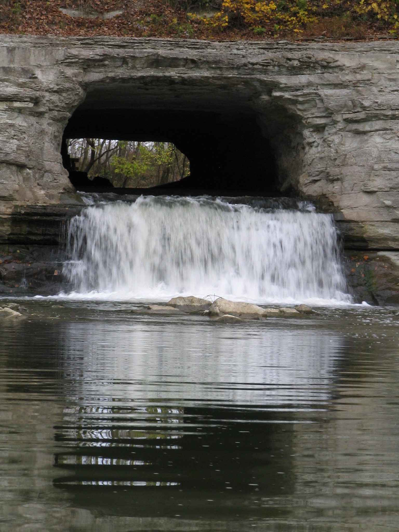
Montgomery Bell Tunnel, Narrows of the Harpeth
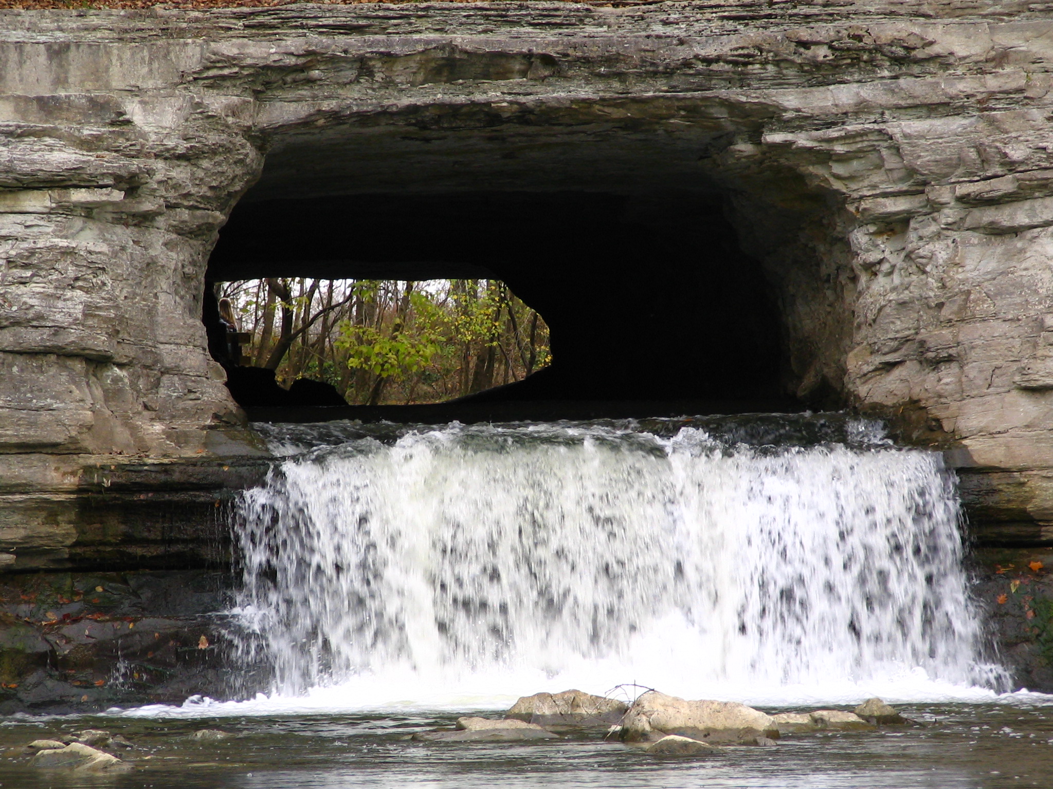
closeup view of Montgomery Bell Tunnel
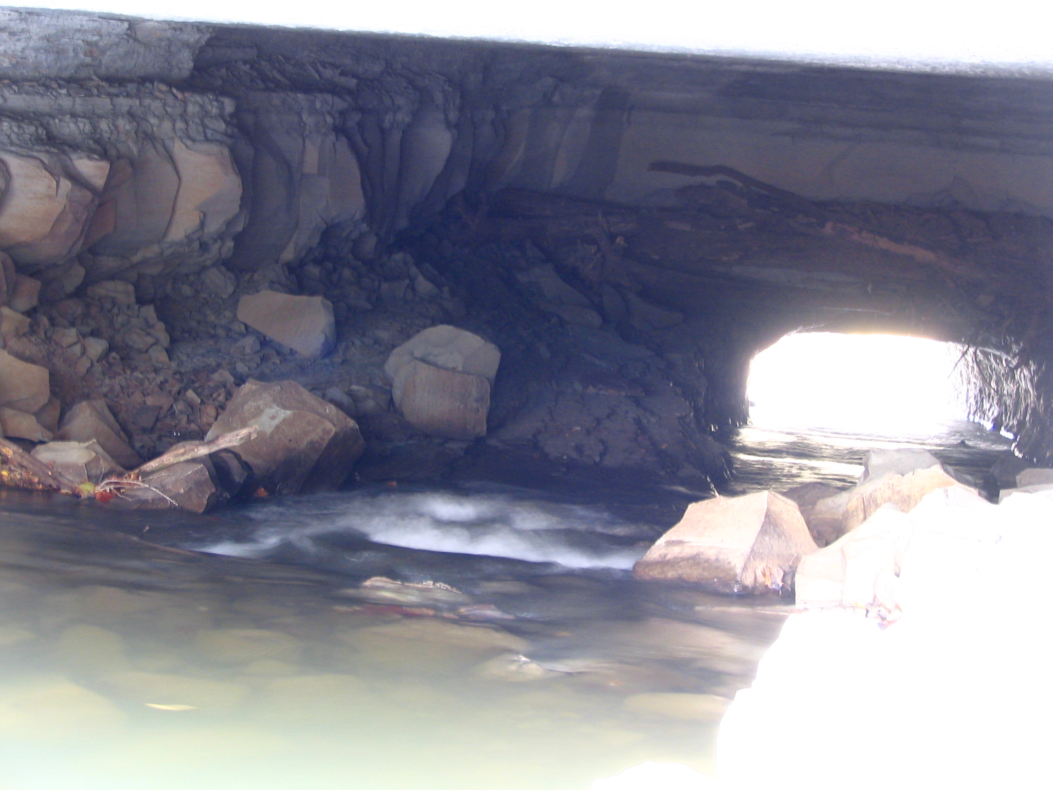
Extreme Closeup view of Montgomery Bell Tunnel
Alternate view of Montgomery Bell Tunnel

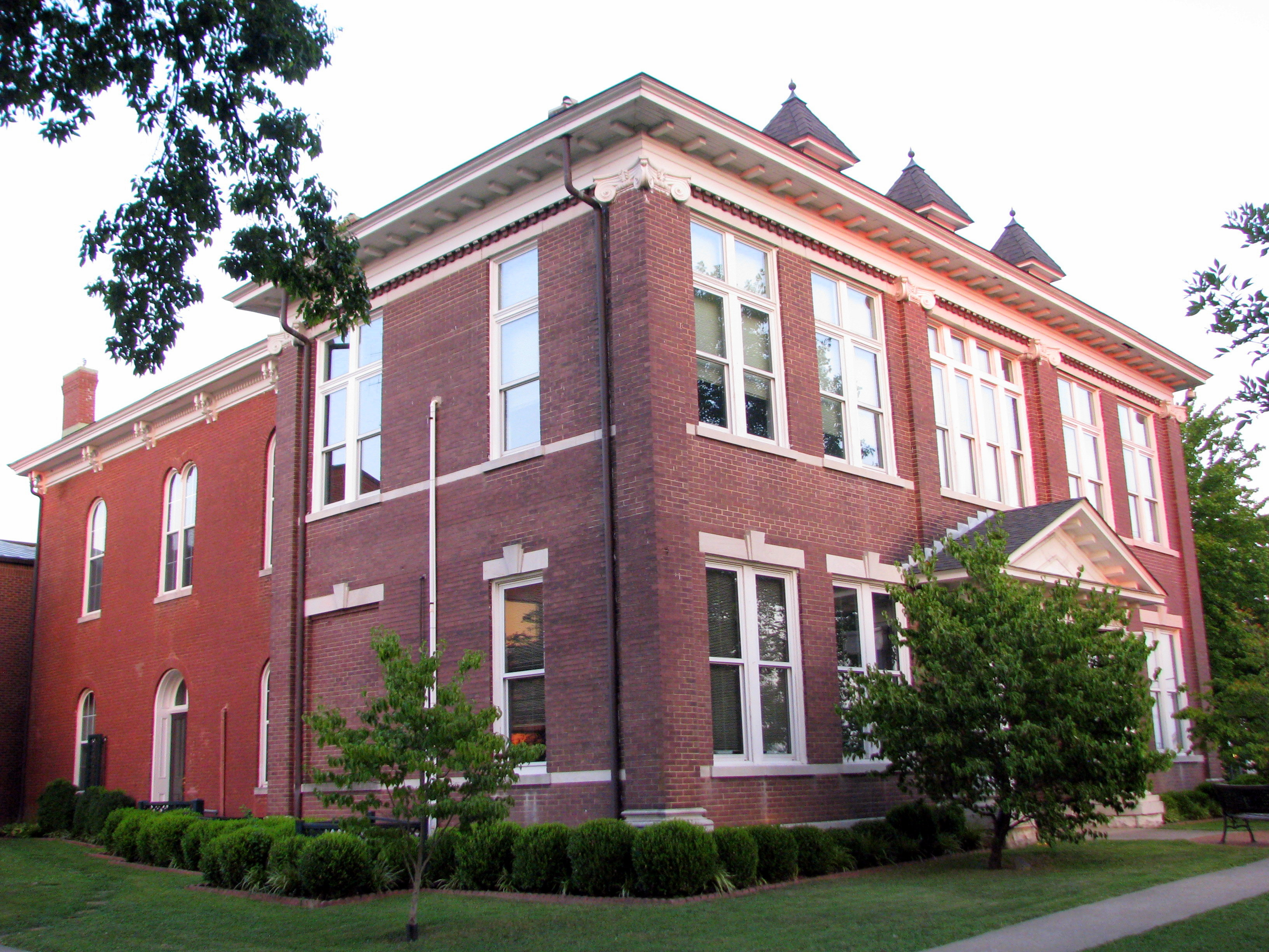
Cheatham County Courthouse, Ashland City, TN

Cheatham County Courthouse Grounds(Oct. 2014) - Ashland City, TN
Cheatham County Courthouse at dusk - Ashland City, TN
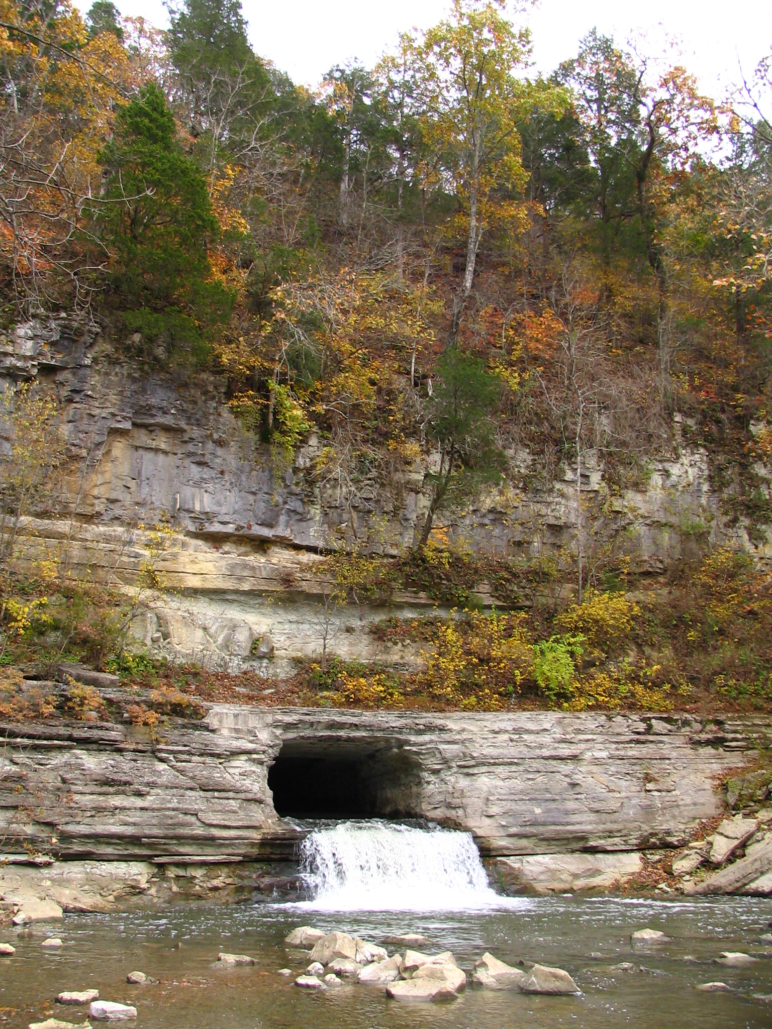
Alternate view of Montgomery Bell Tunnel
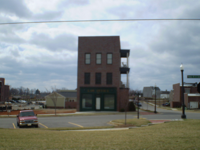
Pleasant View Village 3

Cheatham County, TN Courthouse - Ashland City, TN
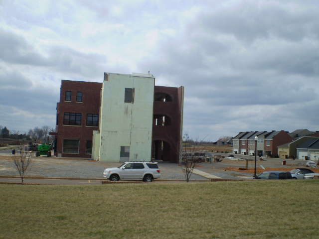
Pleasant View Village 4

Rear View Camera
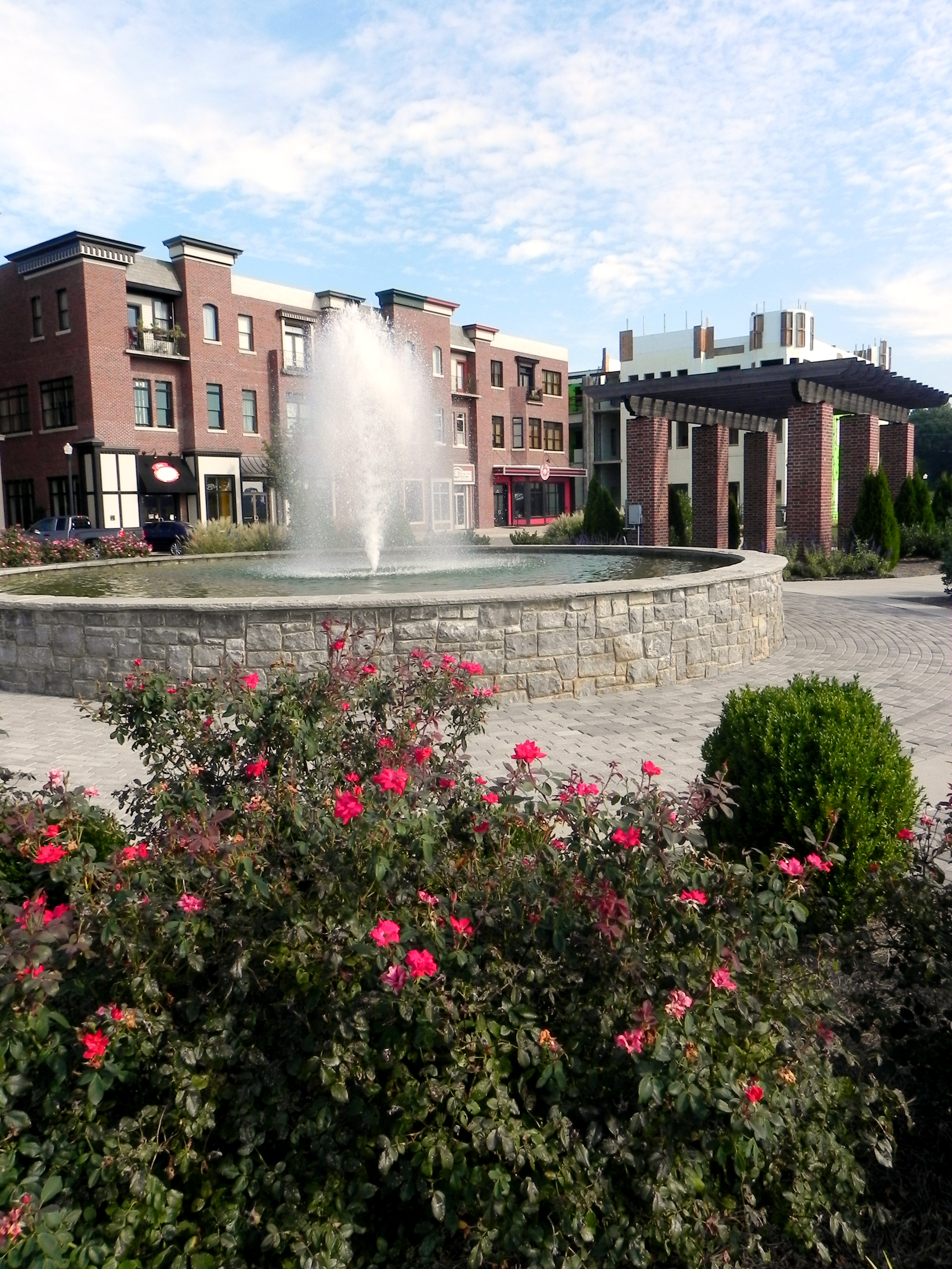
PV Court
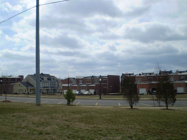
Pleasant View Village 2
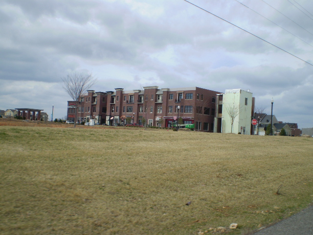
Pleasant View Village 5

Senior Circle Crossroads Community May 2015

ferris wheel view

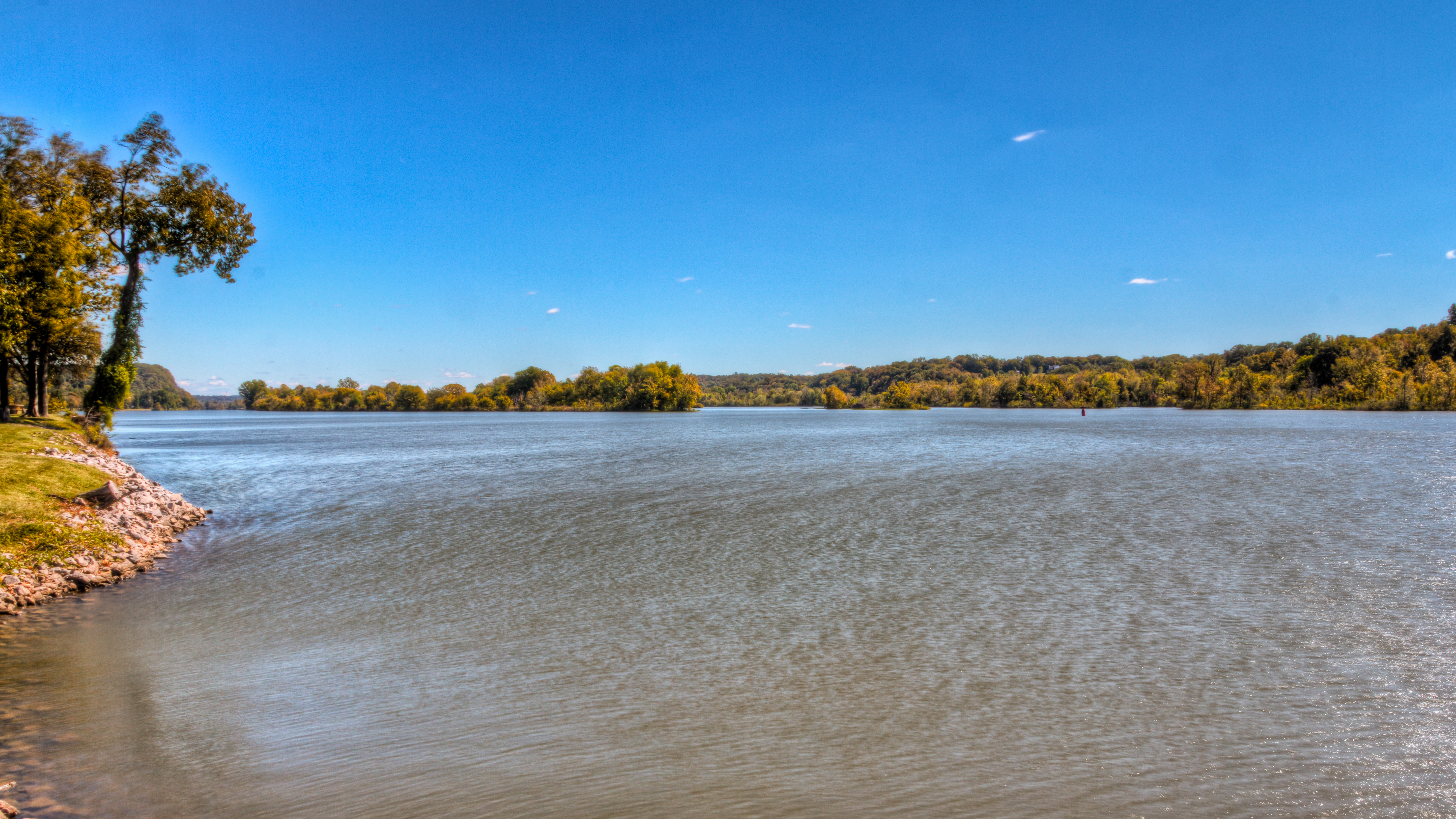
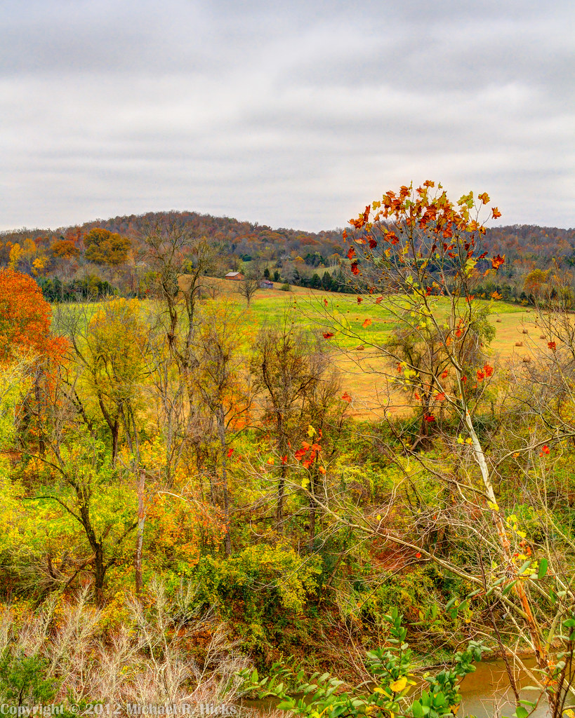
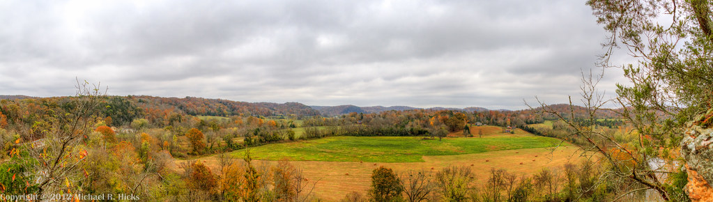
Narrows of the Harpeth Overlook

Cheatham County Courthouse and Lamps (Oct. 2014) - Ashland City, TN
Clear View of Montgomery Bell's Gravesite
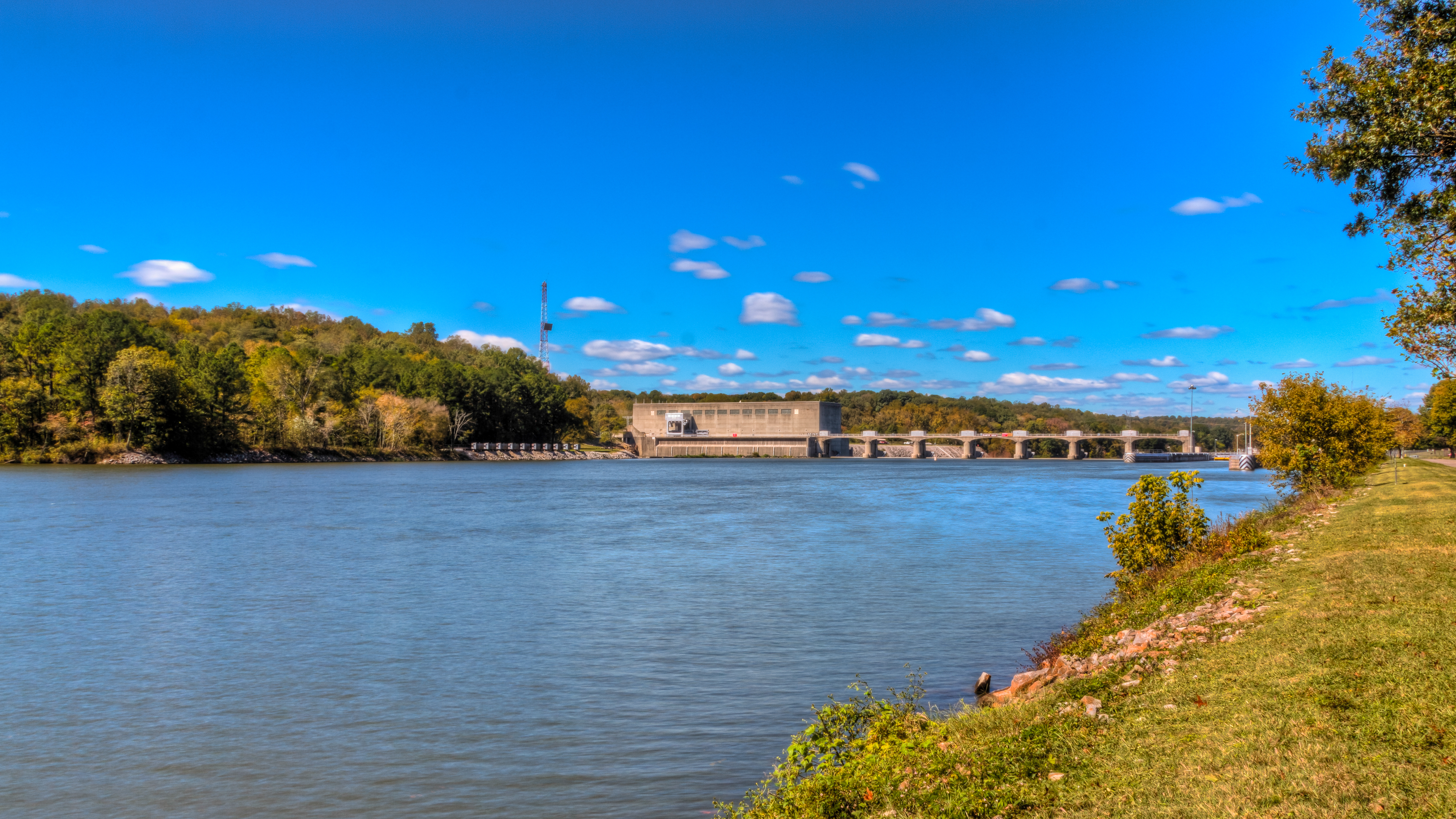
Bicentennial Trail - Cheatham Dam
Bicentennial Trail
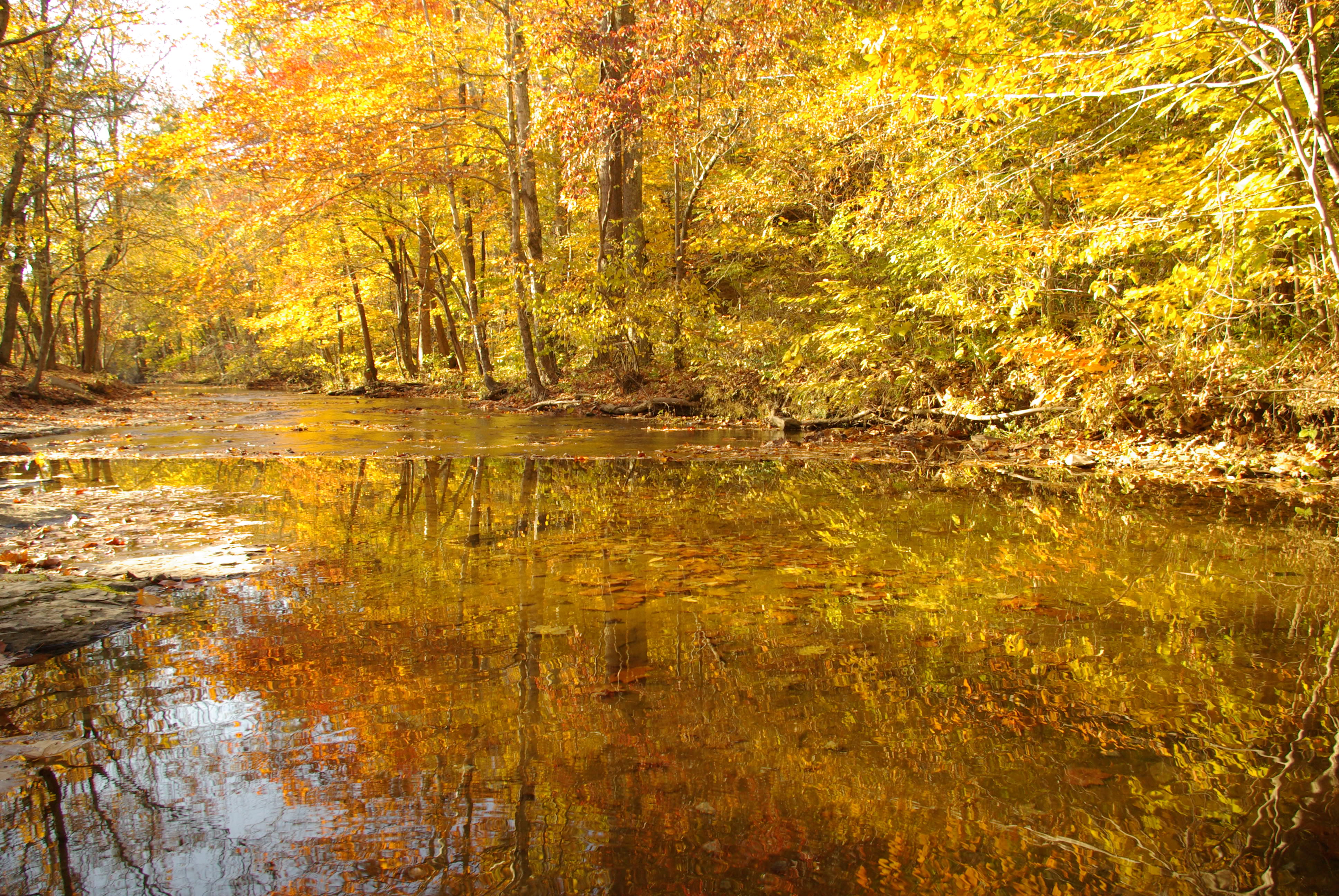
Gold Fall at Beaman
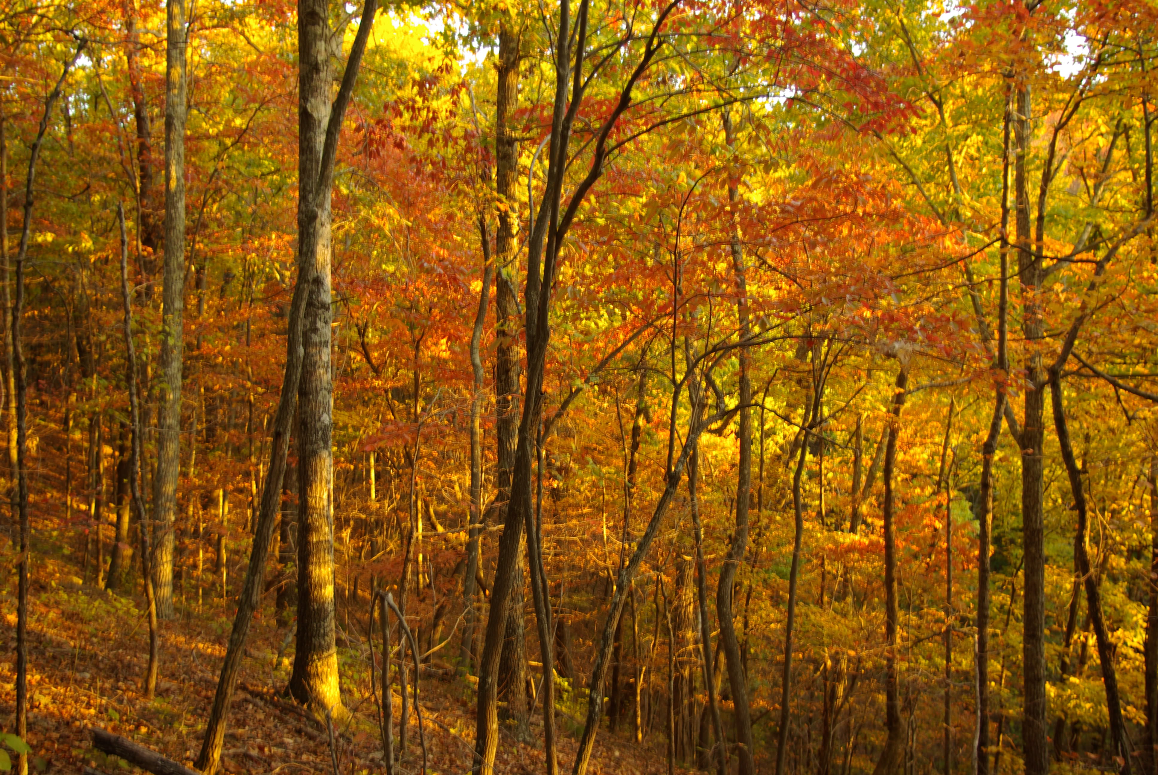
Fall Sunset at Beaman Park 2008

Stairway to heaven
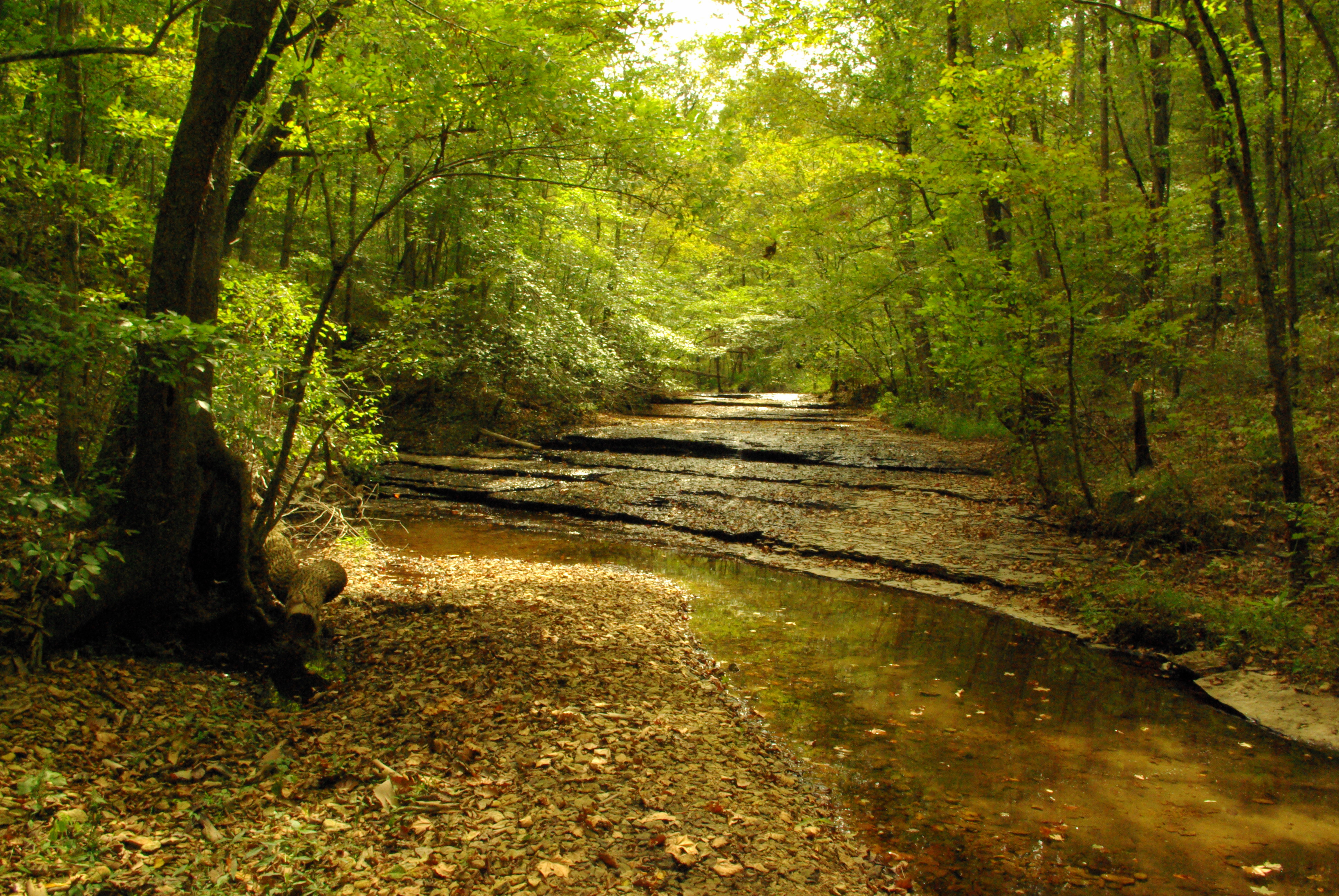
Beaman Park (Eaton's Creek)
Sedge Hill Trail - Beaman Park - Feb. 22, 2014
Beaman Park
Cedar Hill Road
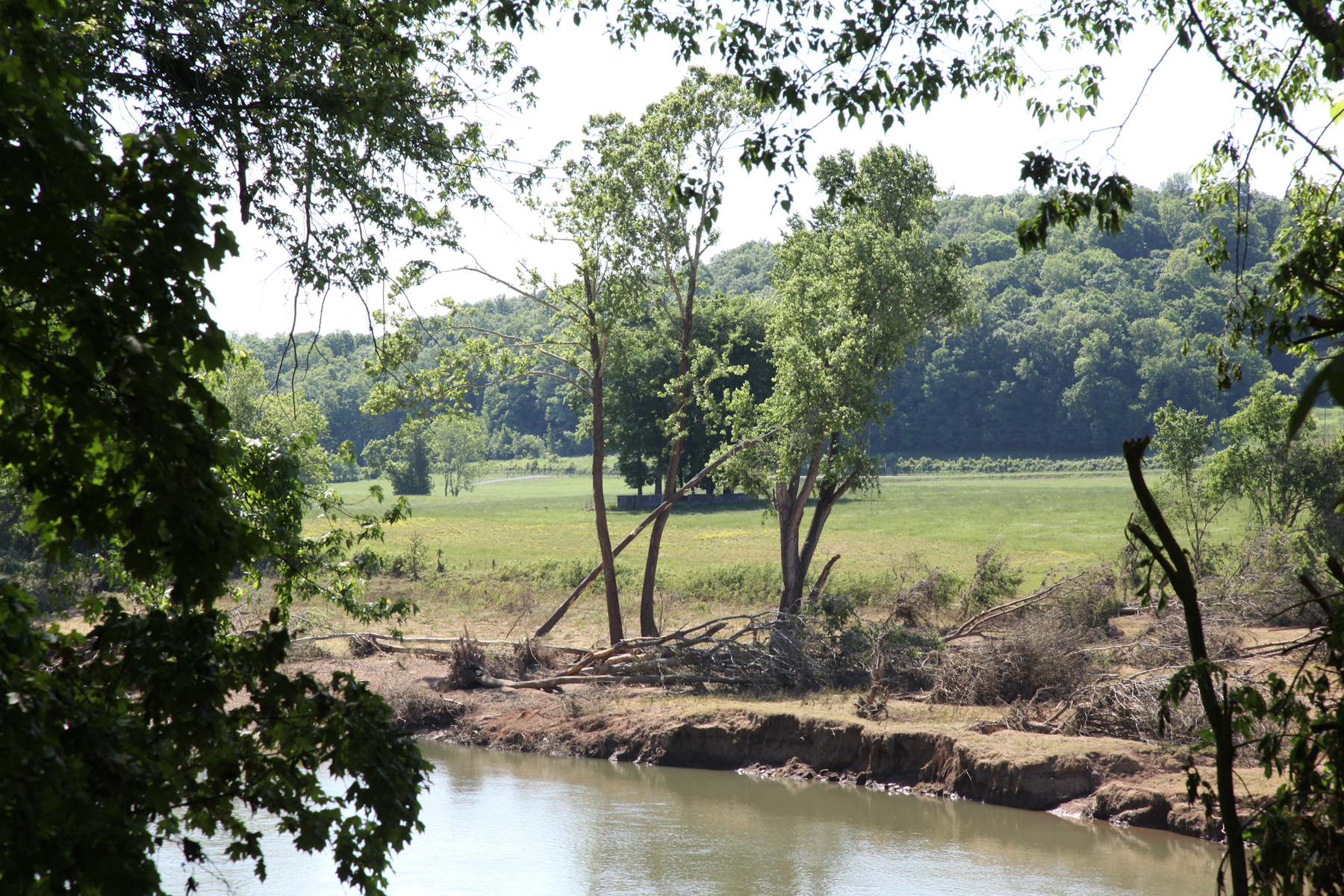
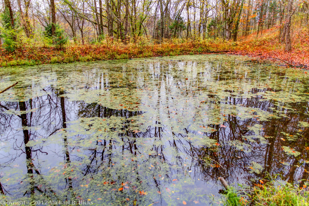
Leatherwood Creek
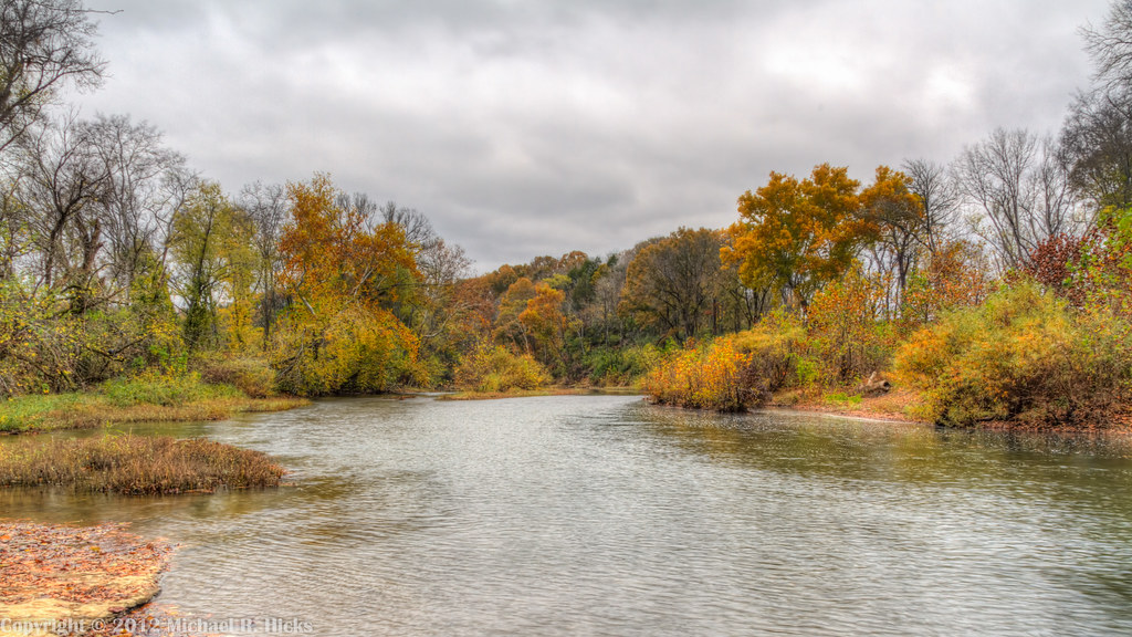
Harpeth River State Park - Narrows of the Harpeth
Harpeth River State Park - Gossett Tract State Natural Area

Harpeth River State Park - Narrows of the Harpeth

Sycamore Hills

Sunrise - 3rd annual George McCabe Memorial Hike
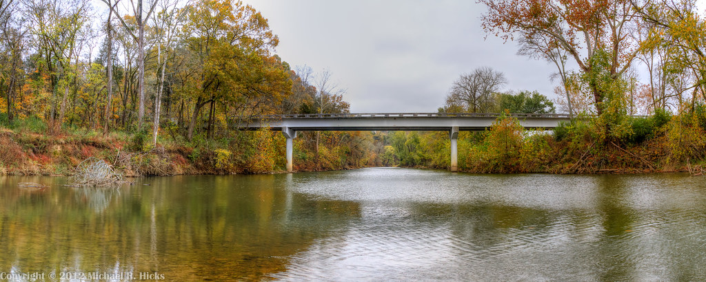
Harpeth River State Park - Harris Street Bridge Canoe Access
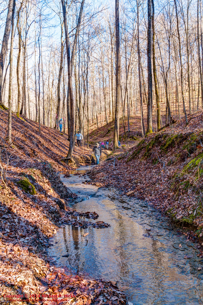
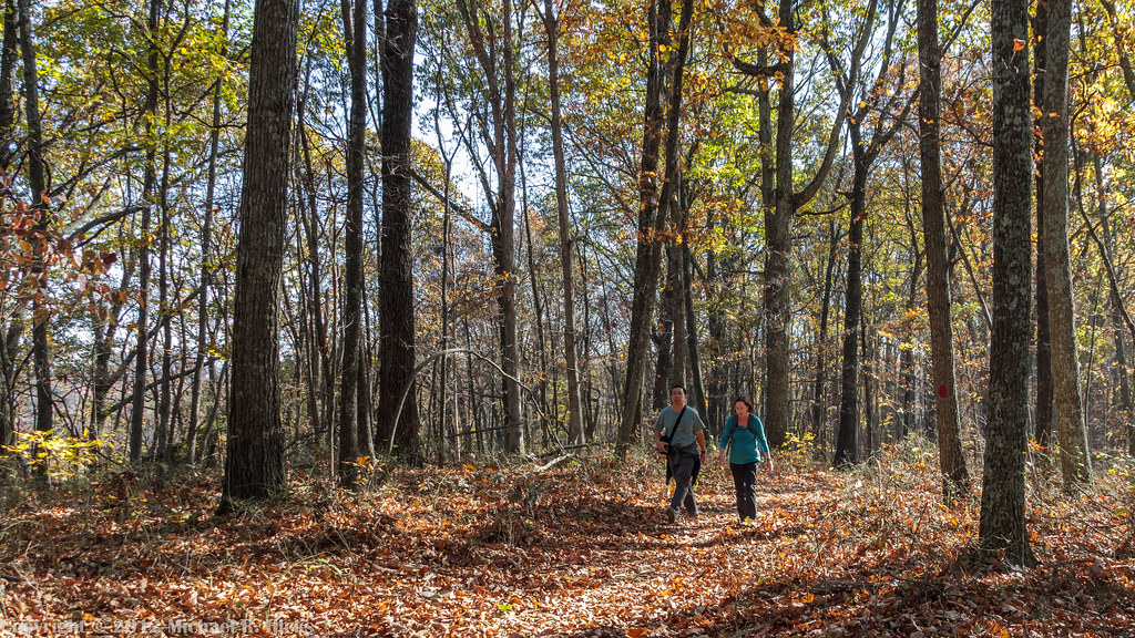
Off-Trail Exploration at Beaman Park - Feb. 22, 2014
Harpeth River State Park - Narrows of the Harpeth
Beaman Park

At Pattison Forge aka Narrows of the Harpeth with @kenton #latergram
Harpeth River State Park - Narrows of the Harpeth
Topographic Map of N Vine St, Ashland City, TN, USA
Find elevation by address:

Places near N Vine St, Ashland City, TN, USA:
100 N Main St
Ashland City
171 Shoals Landing
275 Ed Harris Rd
277 Ed Harris Rd
Floy Ln, Ashland City, TN, USA
1020 Floy Ln
1836 Tn-12
1836 Tn-12
1012 Sunrise Cir
River Rd, Ashland City, TN, USA
Ashland Farms Apartments
1011 Greenbrier Rd
1065 Ed Burgess Rd
1511 Matlock Dr
Little Marrowbone Rd, Ashland City, TN, USA
1115 Noah Reeves Rd
314 Bandy Rd
Bandy Road
2647 Old Clarksville Pike
Recent Searches:
- Elevation of Corso Fratelli Cairoli, 35, Macerata MC, Italy
- Elevation of Tallevast Rd, Sarasota, FL, USA
- Elevation of 4th St E, Sonoma, CA, USA
- Elevation of Black Hollow Rd, Pennsdale, PA, USA
- Elevation of Oakland Ave, Williamsport, PA, USA
- Elevation of Pedrógão Grande, Portugal
- Elevation of Klee Dr, Martinsburg, WV, USA
- Elevation of Via Roma, Pieranica CR, Italy
- Elevation of Tavkvetili Mountain, Georgia
- Elevation of Hartfords Bluff Cir, Mt Pleasant, SC, USA