Elevation of Ashland City, TN, USA

Location: United States > Tennessee > Cheatham County >

Longitude: -87.064169

Latitude: 36.2742207

Elevation: 133m / 436feet

Barometric Pressure: 100KPa

Elevation Map:

elevation map of Ashland City, TN, USA
Satellite Map:

Satellite map of Ashland City, TN, USA
Related Photos:

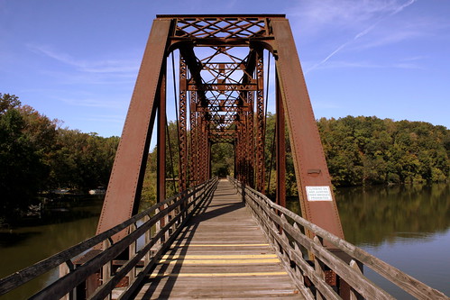
bridge tn tennessee railroadbridge railstotrails pedestrianbridge ashlandcity 1901 sycamorecreek cheathamcounty tennesseecentral railstotrailsconservancy brentandmarilynnpersonalfavorite bmok cumberlandriverbicentennialtrail parkerthroughtruss bmok2 sycamorecreekrailroadbridge top10of2014
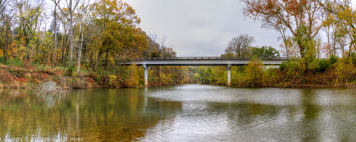
Cheatham County Bicentennial Trail Bridge
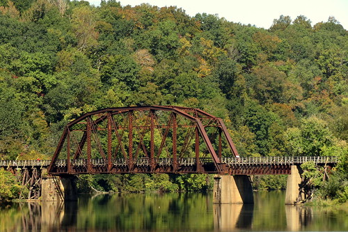
bridge tn tennessee railroadbridge railstotrails pedestrianbridge ashlandcity 1901 sycamorecreek cheathamcounty tennesseecentral bmok cumberlandriverbicentennialtrail bmok2 sycamorecreekrailroadbridge
Cheatham County Bicentennial Trail Bridge (Road View)
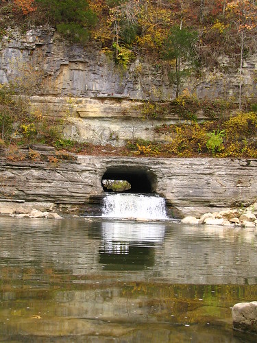
tennessee 1820 nationalhistoriclandmark nationalregisterofhistoricplaces whitebluff cheathamcounty harpethriver harpethnarrowsstatepark montgomerybelltunnel pattisonforge nationalengineeringlandmark bmok bmok101
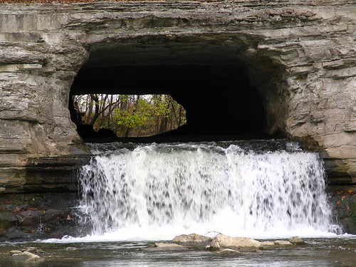
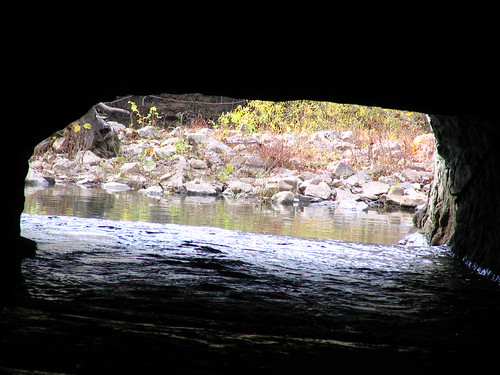
Montgomery Bell Tunnel, Narrows of the Harpeth
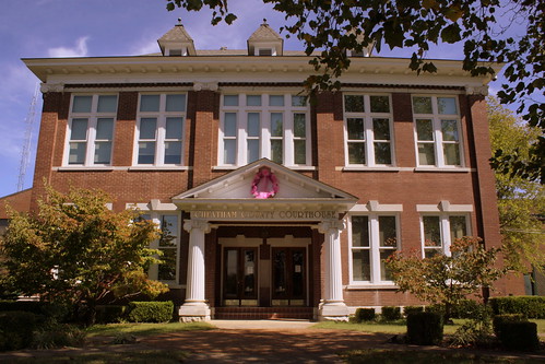
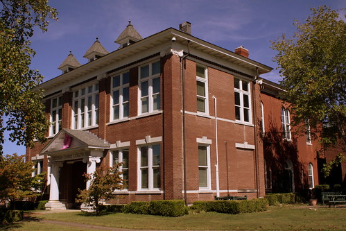
lamp tn tennessee courthouse lamps pinkribbon breastcancerawarenessmonth ashlandcity countycourthouse nrhp cheathamcounty tn249 uscctncheatham tn12 tn49 bmok bmok2
Cheatham County Courthouse (Oct. 2014) - Ashland City, TN
tn tennessee courthouse ashlandcity countycourthouse cheathamcounty bmok bmok2
Cheatham County Courthouse Front (Oct. 2014) - Ashland City, TN
lamp tn tennessee courthouse lamps pinkribbon breastcancerawarenessmonth ashlandcity countycourthouse cheathamcounty bmok bmok2
Cheatham County Courthouse and Lamps (Oct. 2014) - Ashland City, TN
tn tennessee courthouse ashlandcity countycourthouse cheathamcounty bmok bmok2
Cheatham County Courthouse Corner view(Oct. 2014) - Ashland City, TN
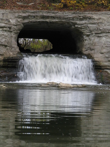
tennessee cheathamcounty harpethriver harpethnarrowsstatepark montgomerybelltunnel bmok bmok2
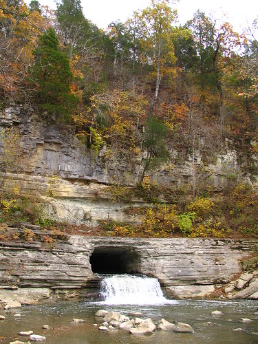
Alternate view of Montgomery Bell Tunnel
bench tennessee gazebo courthouse ashlandcity countycourthouse cheathamcounty tn249 uscctncheatham tn12 tn49 brentandmarilynnpersonalfavorite bmok
Cheatham County Courthouse, Ashland City, TN
tn tennessee courthouse warmemorial ashlandcity countycourthouse cheathamcounty bmok bmok2
Cheatham County Courthouse and War Memorial (Oct. 2014) - Ashland City, TN
tn tennessee courthouse warmemorial ashlandcity countycourthouse cheathamcounty bmok bmok2
Cheatham County Courthouse Grounds(Oct. 2014) - Ashland City, TN
tn dusk tennessee courthouse ashlandcity countycourthouse nrhp cheathamcounty tn249 tn12 tn49 bmok bmok2 usccthcheatham
Cheatham County Courthouse at dusk - Ashland City, TN
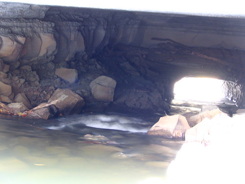
tennessee cheathamcounty harpethriver harpethnarrowsstatepark montgomerybelltunnel bmok bmok2
closeup view of Montgomery Bell Tunnel
tennessee cheathamcounty harpethriver harpethnarrowsstatepark montgomerybelltunnel bmok bmok2
Alternate view of Montgomery Bell Tunnel
tennessee cheathamcounty harpethriver harpethnarrowsstatepark montgomerybelltunnel bmok bmok2
Extreme Closeup view of Montgomery Bell Tunnel
square squareformat iphoneography instagramapp uploaded:by=instagram
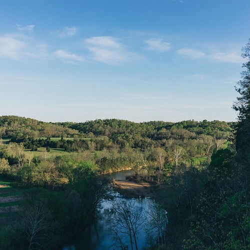
This view.
tn dusk tennessee courthouse ashlandcity countycourthouse nrhp cheathamcounty bmok bmok2 usccthcheatham
Cheatham County Courthouse at dusk - Ashland City, TN
tennessee united lakes cities aerial rivers unitedairlines windowseat americantowns canon7d canonefs18135mmf3556is zeesstof houstontonewark americantownsfromtheair
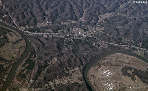
Bend in the Cumberland River
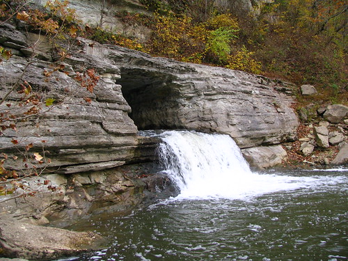
tennessee cheathamcounty harpethriver harpethnarrowsstatepark montgomerybelltunnel bmok bmok2
Alternate view of Montgomery Bell Tunnel
flood may disaster 2010 harpethriver narrowsoftheharpeth
Clear View of Montgomery Bell's Gravesite
tennessee cheathamcounty harpethriver harpethnarrowsstatepark montgomerybelltunnel bmok bmok2
Alternate view of Montgomery Bell Tunnel
geotagged unitedstates hiking tennessee kingstonsprings tennesseestateparks harpethriverstatepark exif:isospeed=100 exif:focallength=18mm geo:state=tennessee geo:countrys=unitedstates camera:model=canoneos7d exif:model=canoneos7d exif:lens=18200mm geo:city=kingstonsprings exif:aperture=ƒ18 moundbottomhistorical geo:lat=3613625565 geo:lon=8710085718 geo:lon=87100856666667 geo:lat=36136255
Harpeth River State Park - Gossett Tract State Natural Area
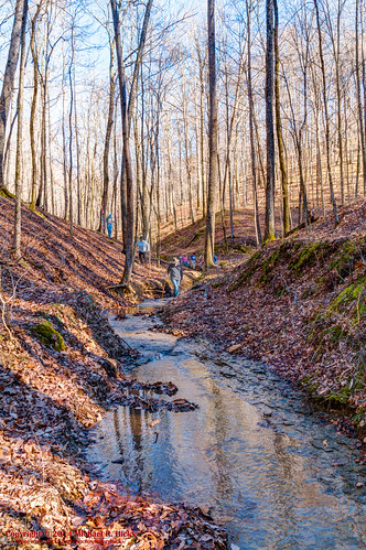
usa west geotagged unitedstates nashville hiking tennessee beamanpark canon7d nashvillehikingmeetup sigma18250mmf3563dcmacrooshsm geo:lat=3626339300 geo:lon=8689481000
Sedge Hill Trail - Beaman Park - Feb. 22, 2014
geotagged unitedstates hiking tennessee kingstonsprings tennesseestateparks harpethriverstatepark exif:isospeed=400 exif:focallength=28mm geo:state=tennessee geo:countrys=unitedstates camera:model=canoneos7d exif:model=canoneos7d exif:lens=18200mm geo:city=kingstonsprings exif:aperture=ƒ10 moundbottomhistorical geo:lat=3614833856 geo:lon=8712055114 geo:lat=36148338333333 geo:lon=87120551666667
Harpeth River State Park - Narrows of the Harpeth
tn nashville
Fall Sunset at Beaman Park 2008
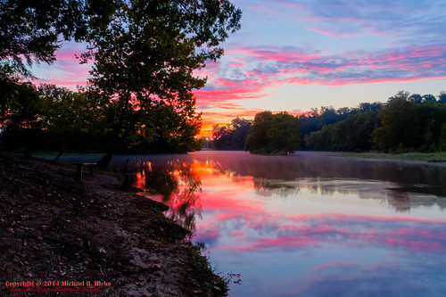
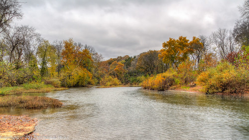
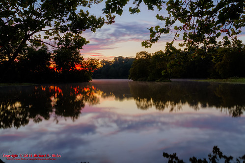
usa fall landscape geotagged unitedstates hiking tennessee hdr ashlandcity photomatix canon7d nashvillehikingmeetup lillamay sigma18250mmf3563dcmacrooshsm georgemccabememorialhike georgemccabememorialweekend geo:lat=3622566952 geo:lon=8704020381
Sunrise - 3rd annual George McCabe Memorial Hike
geotagged unitedstates hiking tennessee kingstonsprings tennesseestateparks harpethriverstatepark exif:isospeed=200 exif:focallength=18mm geo:state=tennessee geo:countrys=unitedstates camera:model=canoneos7d exif:model=canoneos7d exif:lens=18200mm geo:city=kingstonsprings exif:aperture=ƒ16 moundbottomhistorical geo:lat=3614314273 geo:lon=8712430654 geo:lon=87124306666667 geo:lat=36143143333333
Harpeth River State Park - Narrows of the Harpeth
geotagged unitedstates hiking tennessee kingstonsprings tennesseestateparks harpethriverstatepark exif:isospeed=100 exif:focallength=18mm geo:state=tennessee geo:countrys=unitedstates camera:model=canoneos7d exif:model=canoneos7d exif:lens=18200mm geo:city=kingstonsprings exif:aperture=ƒ22 moundbottomhistorical geo:lat=3613619790 geo:lon=8710101737 geo:lat=36136198333333 geo:lon=87101016666667
Harpeth River State Park - Gossett Tract State Natural Area
usa west geotagged unitedstates hiking tennessee beamanpark ashlandcity canon7d nashvillehikingmeetup sigma18250mmf3563dcmacrooshsm geo:lat=3625863000 geo:lon=8690974700
Off-Trail Exploration at Beaman Park - Feb. 22, 2014
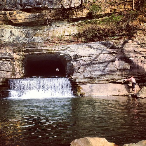
square squareformat hudson iphoneography instagramapp uploaded:by=instagram foursquare:venue=4fad9d33e4b097c37e02773f srnsvr
At Pattison Forge aka Narrows of the Harpeth with @kenton #latergram
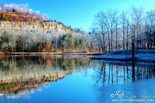
cliff lake frost tn nashville tennessee bullsrunrecreationarea
Winter Lake and Cliff
usa geotagged unitedstates tennessee whitebluff tennesseestateparks harpethriverstatepark exif:isospeed=400 geo:state=tennessee geo:countrys=unitedstates exif:aperture=ƒ10 moundbottomhistorical geo:city=whitebluff geo:lat=3615266667 geo:lon=8711918500 geo:lat=36152666666667 geo:lon=87119185
Harpeth River State Park - Harris Street Bridge Canoe Access
usa fall landscape geotagged unitedstates hiking tennessee hdr ashlandcity photomatix canon7d nashvillehikingmeetup lillamay sigma18250mmf3563dcmacrooshsm georgemccabememorialhike georgemccabememorialweekend geo:lat=3622566952 geo:lon=8704020381
Sunrise - 3rd annual George McCabe Memorial Hike
geotagged unitedstates hiking tennessee kingstonsprings tennesseestateparks harpethriverstatepark exif:isospeed=100 exif:focallength=18mm geo:state=tennessee geo:countrys=unitedstates camera:model=canoneos7d exif:model=canoneos7d exif:lens=18200mm geo:city=kingstonsprings exif:aperture=ƒ14 moundbottomhistorical geo:lat=3614700160 geo:lon=8712219752 geo:lon=87122198333333 geo:lat=36147001666667
Harpeth River State Park - Narrows of the Harpeth
usa geotagged unitedstates tennessee kingstonsprings tennesseestateparks harpethriverstatepark exif:isospeed=200 geo:state=tennessee geo:countrys=unitedstates geo:city=kingstonsprings exif:aperture=ƒ10 geo:lon=8712218500 moundbottomhistorical geo:lat=3614634667 geo:lon=87122185 geo:lat=36146346666667
Harpeth River State Park - Narrows of the Harpeth
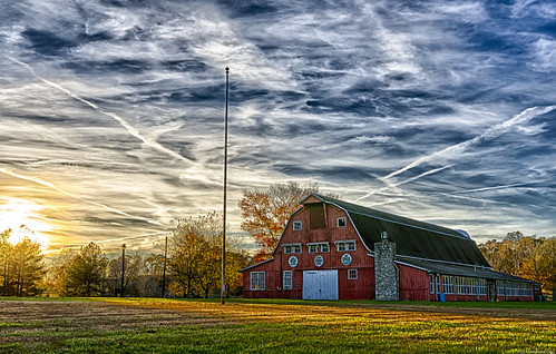
unitedstates tennessee hdr ashlandcity sycamorehills
Fall Sunset
geotagged unitedstates hiking tennessee kingstonsprings tennesseestateparks harpethriverstatepark exif:isospeed=100 exif:focallength=18mm geo:state=tennessee geo:countrys=unitedstates camera:model=canoneos7d exif:model=canoneos7d exif:lens=18200mm geo:city=kingstonsprings exif:aperture=ƒ35 moundbottomhistorical geo:lat=3614297291 geo:lon=8712415277 geo:lon=87124153333333 geo:lat=36142973333333
Harpeth River State Park - Narrows of the Harpeth
tn nashville
Bells Bend Park (Nashville, TN)
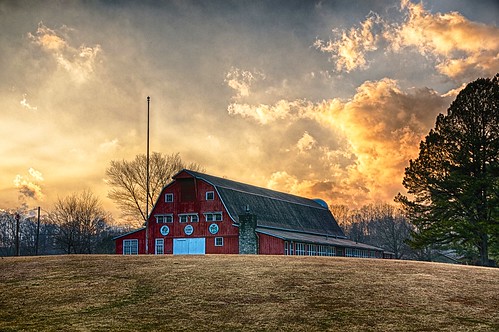
Sycamore Hills barn after a storm
geotagged unitedstates hiking tennessee kingstonsprings tennesseestateparks harpethriverstatepark exif:isospeed=200 exif:focallength=18mm geo:state=tennessee geo:countrys=unitedstates camera:model=canoneos7d exif:model=canoneos7d exif:lens=18200mm geo:city=kingstonsprings exif:aperture=ƒ10 moundbottomhistorical geo:lat=3614667900 geo:lon=8712201900 geo:lon=87122018333333 geo:lat=36146678333333
Harpeth River State Park - Narrows of the Harpeth
usa fall landscape geotagged unitedstates hiking tennessee hdr ashlandcity photomatix canon7d nashvillehikingmeetup lillamay sigma18250mmf3563dcmacrooshsm georgemccabememorialhike georgemccabememorialweekend geo:lat=3622566952 geo:lon=8704020381
Sunrise - 3rd annual George McCabe Memorial Hike
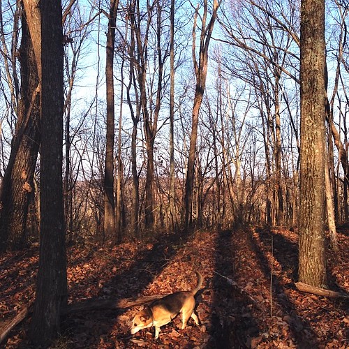
square squareformat iphoneography instagramapp uploaded:by=instagram foursquare:venue=4b5e1ae2f964a520e17d29e3 srnsvr
Tracking things.