Elevation of Sunnyside Rd, Tappahannock, VA, USA

Location: United States > Virginia > Essex County > Tappahannock > Tappahannock >

Longitude: -76.941799

Latitude: 37.9047508

Elevation: 46m / 151feet

Barometric Pressure: 101KPa

Elevation Map:

elevation map of Sunnyside Rd, Tappahannock, VA, USA

Satellite Map:

Satellite map of Sunnyside Rd, Tappahannock, VA, USA

Related Photos:

autumn sunset panorama beautiful river landscape virginia va rappahannock
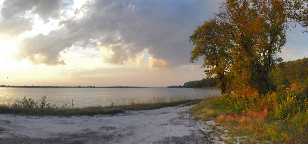
View of the Rappahannock River at Jones Creek
virginia essexcounty churches september methodistchurches middlepeninsula canon2470l greatskies 2013 september2013 tappahannockmethodistchurch
Tappahannock Methodist Church
piestairs
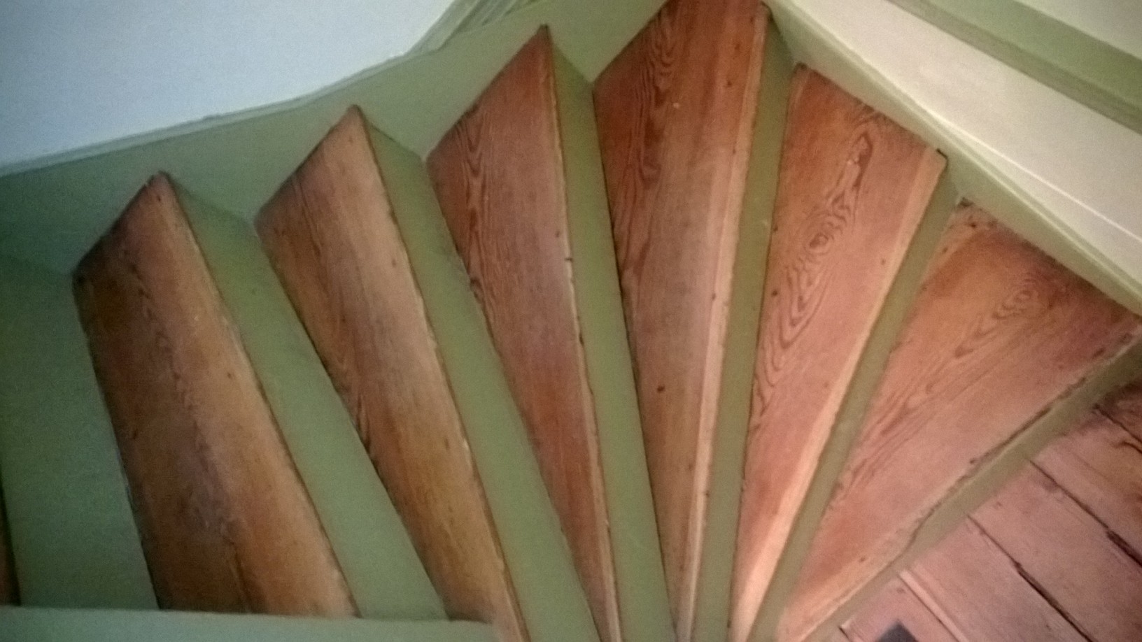
Pie-shaped stairs view
virginia trail 17 rt tappahannock tidewater
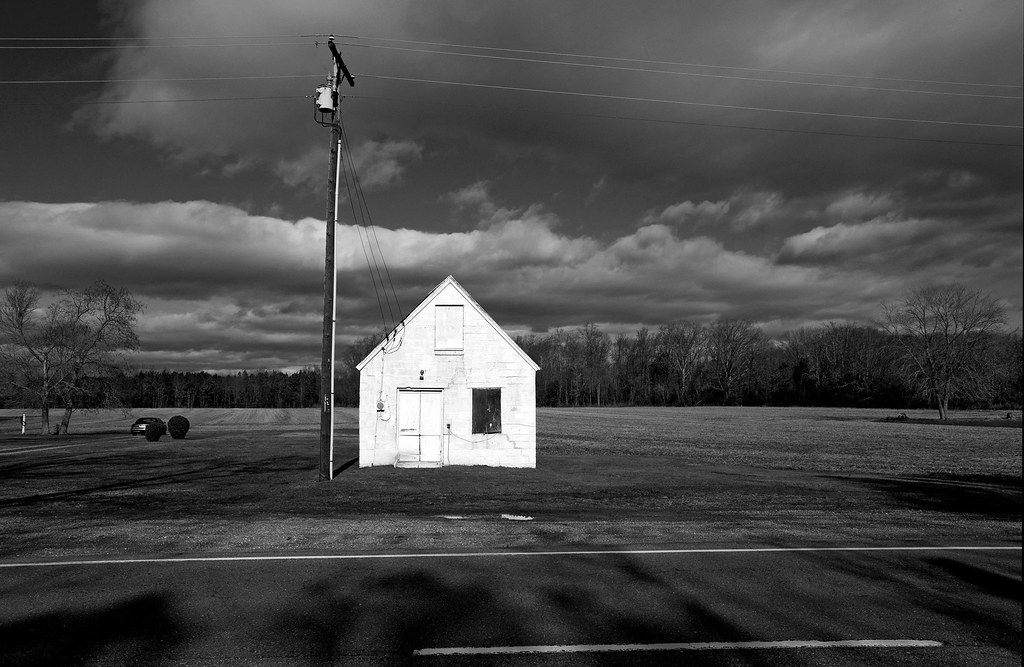
Outside Tappahannock
morning summer beach grass sign creek cat sunrise river neck point dawn virginia boat sand nest posted va northern osprey notrespassing keepout naylors rappahannock richmondcounty northernneck naylorsbeach catpointcreek
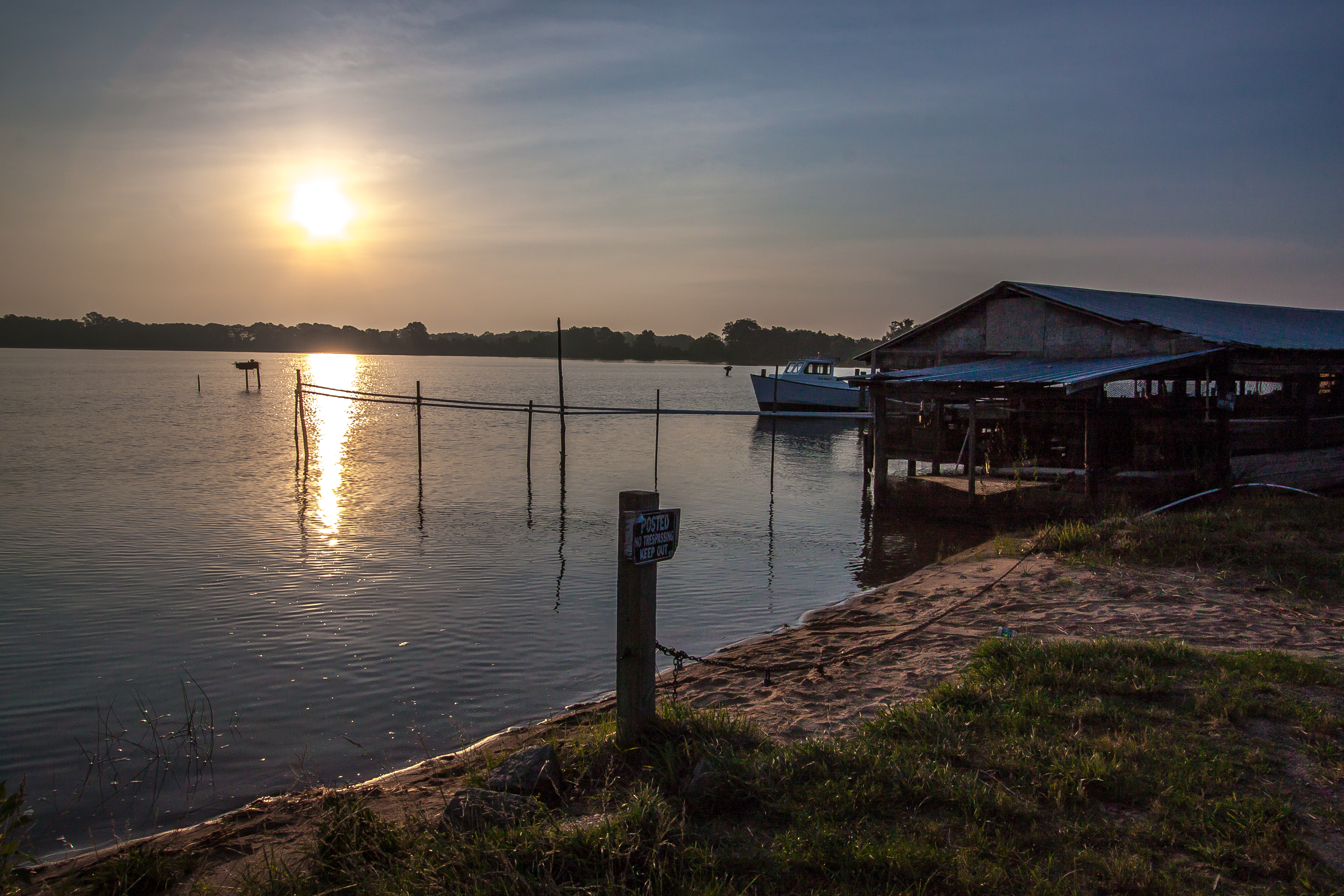
Sunrise Over Cat Point Creek
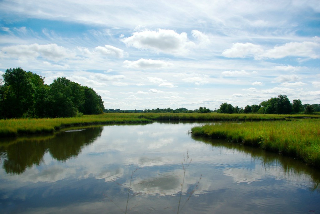
light sky colour reflection water clouds digital landscape virginia pentax marsh km richmondcounty tidewater pentaxdaf35561855mmallens
The Marsh
old morning colors grass clouds sunrise river dawn virginia pier twilight structure va demolished piles tappahannock rappahannockriver
Rappahannock River Sunrise I
outdoors virginia unitedstates conservation things science collections va warsaw environment restoration states geography issues partnership activities nationalwildliferefuge nwr richmondcounty geo:country=unitedstates camera:make=canon exif:make=canon geo:state=va chesapeakebayprogram exif:lens=ef100400mmf4556lisusm exif:model=canoneosrebelt2i camera:model=canoneosrebelt2i exif:aperture=ƒ56 parksandrefuges rappahannockrivervalleynwr geo:city=warsaw exif:isospeed=100 exif:focallength=400mm allianceforchesapeakebay
Rappahannock River Valley NWR
square squareformat hudson iphoneography instagramapp uploaded:by=instagram
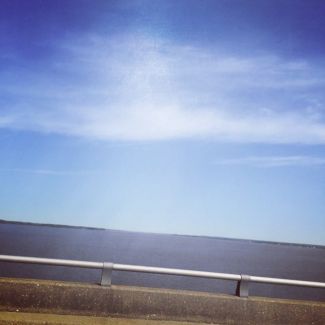
I don't mind being stuck on a bridge if it's a bridge over the Rappahannock.... ☀️
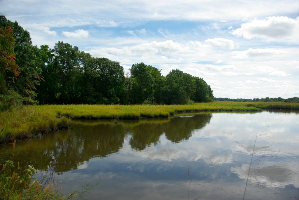
light sky colour reflection water clouds digital landscape virginia pentax marsh km richmondcounty tidewater bej pentaxdaf35561855mmallens
The Marsh
lake mahockney mahockneygardens
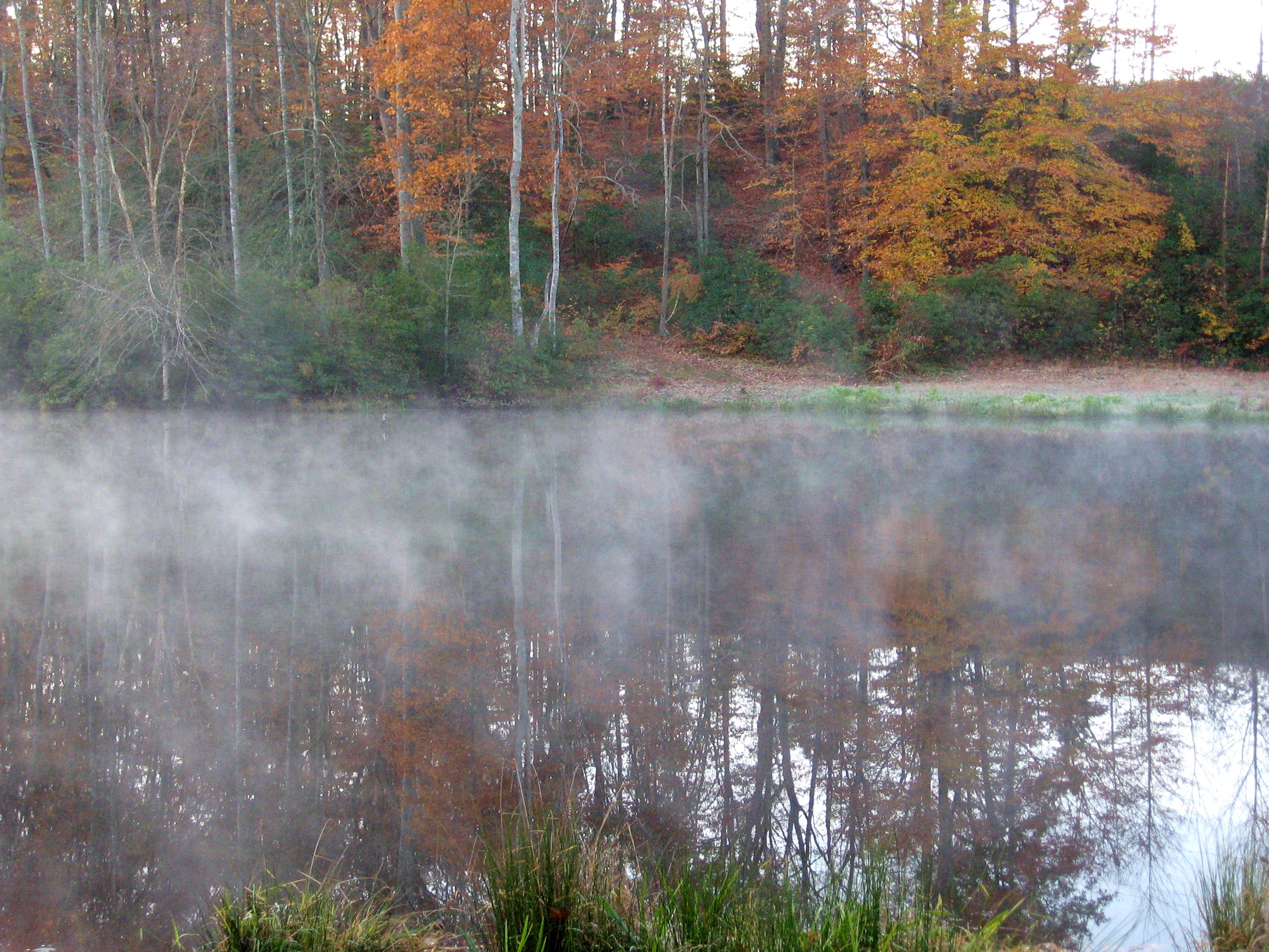
down at the lake, early morning
mahockney mahockneygardens
Big sky at Mahockney
unitedstates conservation science collections va warsaw environment restoration geography issues partnership geo:country=unitedstates camera:make=canon exif:make=canon geo:state=va camera:model=canoneos5dmarkii exif:model=canoneos5dmarkii chesapeakebayprogram exif:lens=ef24105mmf4lisusm exif:focallength=70mm exif:aperture=ƒ18 parksandrefuges rappahannockrivervalleynwr geo:city=warsaw exif:isospeed=100 allianceforchesapeakebay
Rappahannock River Valley NWR
outdoors virginia unitedstates conservation things science collections va warsaw environment restoration states geography issues partnership activities nationalwildliferefuge nwr richmondcounty geo:country=unitedstates camera:make=canon exif:make=canon geo:state=va camera:model=canoneos5dmarkii exif:model=canoneos5dmarkii chesapeakebayprogram exif:lens=ef24105mmf4lisusm exif:focallength=24mm exif:aperture=ƒ18 parksandrefuges rappahannockrivervalleynwr geo:city=warsaw exif:isospeed=100 allianceforchesapeakebay
Rappahannock River Valley NWR
summer virginia corn cornfield seasons unitedstates farm conservation things science collections warsaw environment restoration crops states geography agriculture partnership richmondcounty geocity geo:country=unitedstates exif:isospeed=800 camera:make=nikoncorporation businesscommerce camera:model=nikond40 exif:make=nikoncorporation geostate exif:model=nikond40 chesapeakebayprogram exif:focallength=55mm exif:aperture=ƒ13
Demonstrating Soil and Water Quality Practices at Midway Farms
summer virginia corn cornfield seasons unitedstates farm conservation things science galleries collections warsaw environment restoration crops states geography agriculture partnership richmondcounty agriculturegallery geocity geo:country=unitedstates exif:isospeed=800 exif:focallength=18mm camera:make=nikoncorporation businesscommerce camera:model=nikond40 exif:make=nikoncorporation geostate exif:model=nikond40 chesapeakebayprogram exif:aperture=ƒ14
Demonstrating Soil and Water Quality Practices at Midway Farms
"Ripple"
sunset river virginia va rappahannock
Setting Sun over the Rappahannock River
school sunrise virginia boarding sms rappahannock tappahannock stmargaretsschool
SMS Sunrise
rainbow mahockney mahockneygardens
Zasu (the Zen-Master Japanese Chen) checks out our rainbow
school sunrise virginia boarding sms rappahannock tappahannock stmargaretsschool
SMS Sunrise
summer virginia corn cornfield seasons unitedstates farm conservation things science collections warsaw environment restoration crops states geography agriculture partnership richmondcounty geocity geo:country=unitedstates exif:isospeed=800 camera:make=nikoncorporation businesscommerce camera:model=nikond40 exif:make=nikoncorporation geostate exif:model=nikond40 chesapeakebayprogram exif:focallength=55mm exif:aperture=ƒ32
Demonstrating Soil and Water Quality Practices at Midway Farms
autumn leaves virginia mahockney mahockneygardens
Path down to the lake
bridge virginia dusk va tappahannock
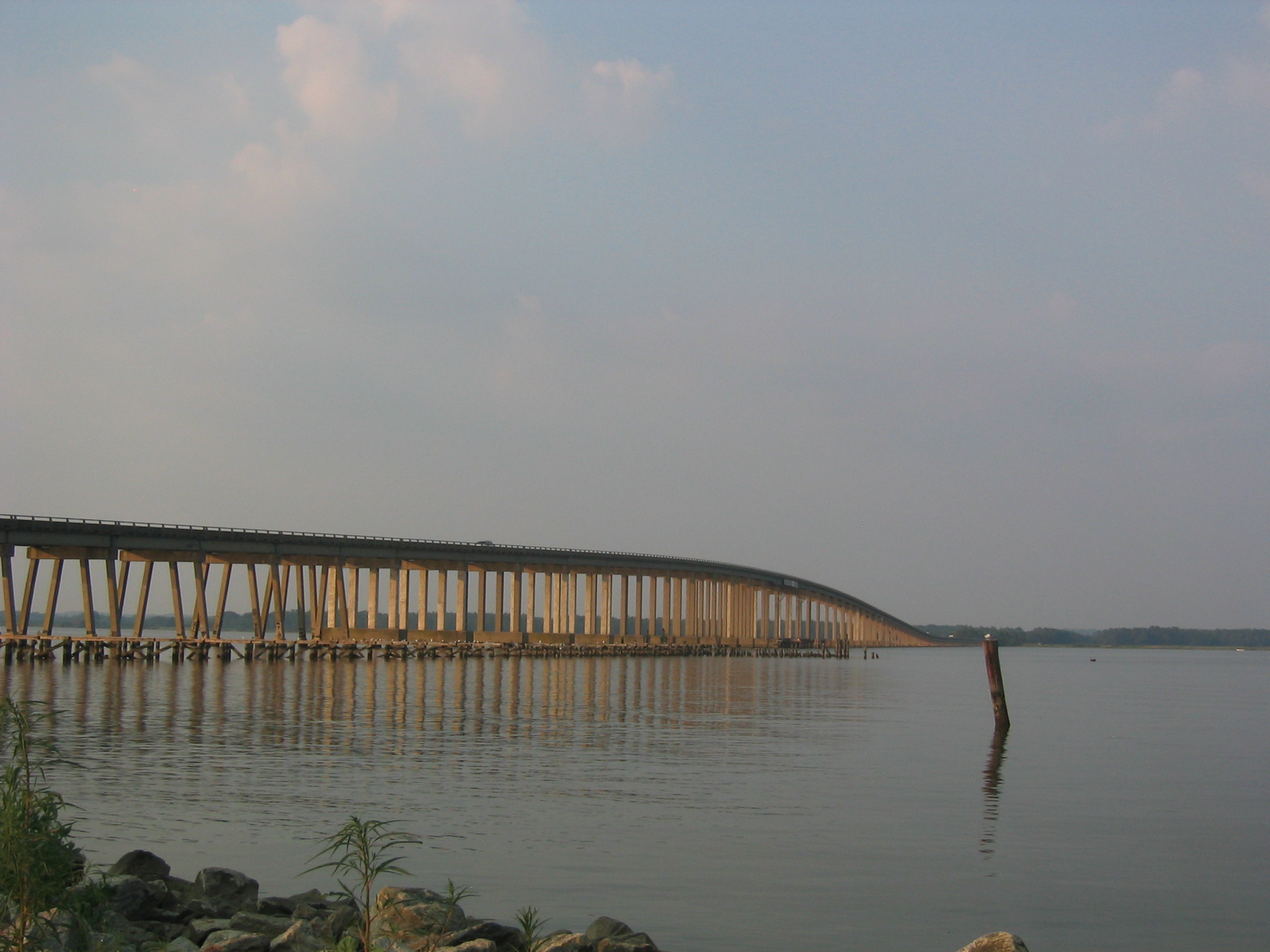
Thomas J Downing Bridge