Elevation of Mt Landing Rd, Tappahannock, VA, USA
Location: United States > Virginia > Essex County > Tappahannock > Tappahannock >
Longitude: -76.882219
Latitude: 37.9225378
Elevation: 14m / 46feet
Barometric Pressure: 101KPa
Elevation Map:
Satellite Map:
Related Photos:
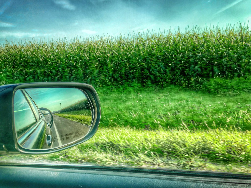
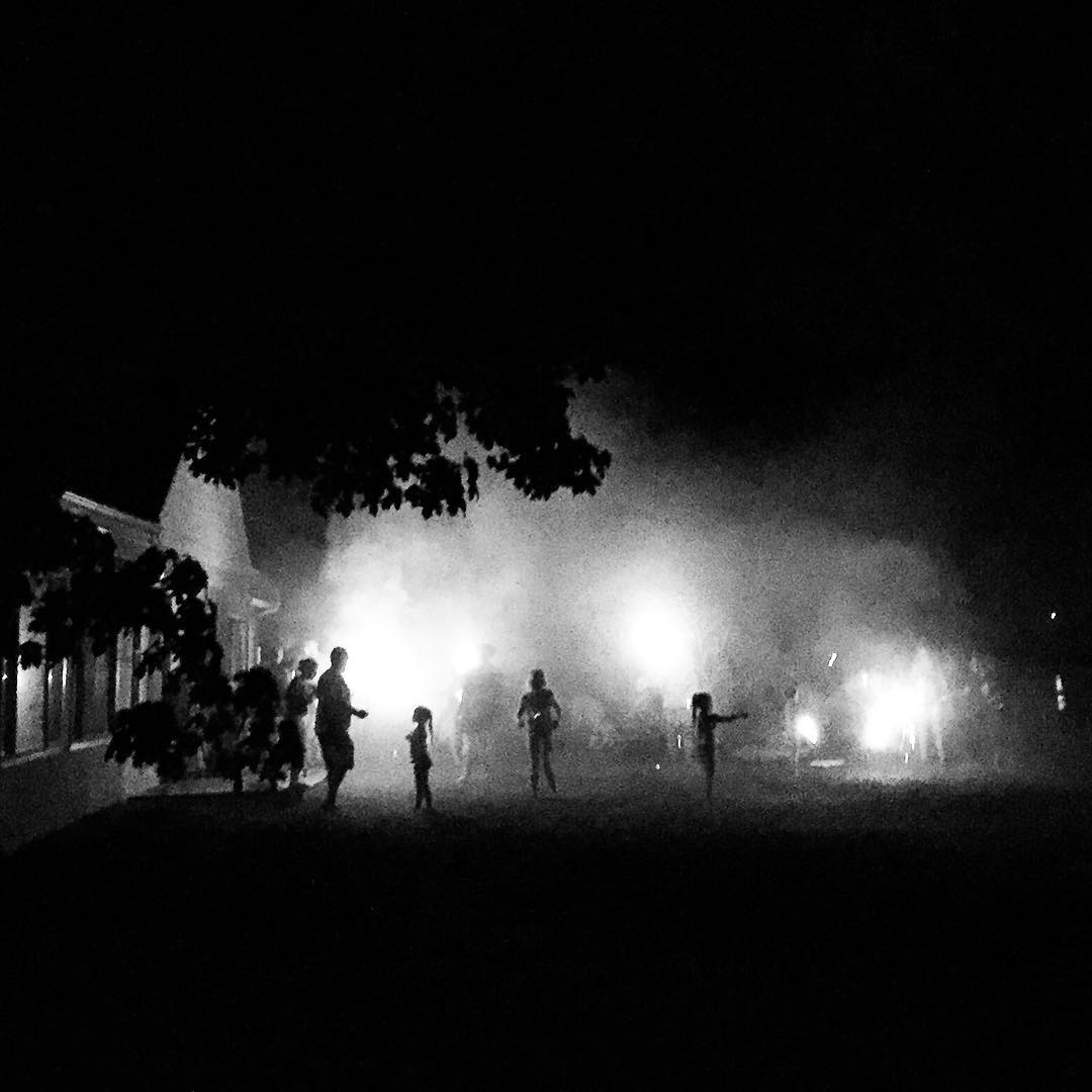
Outside Tappahannock
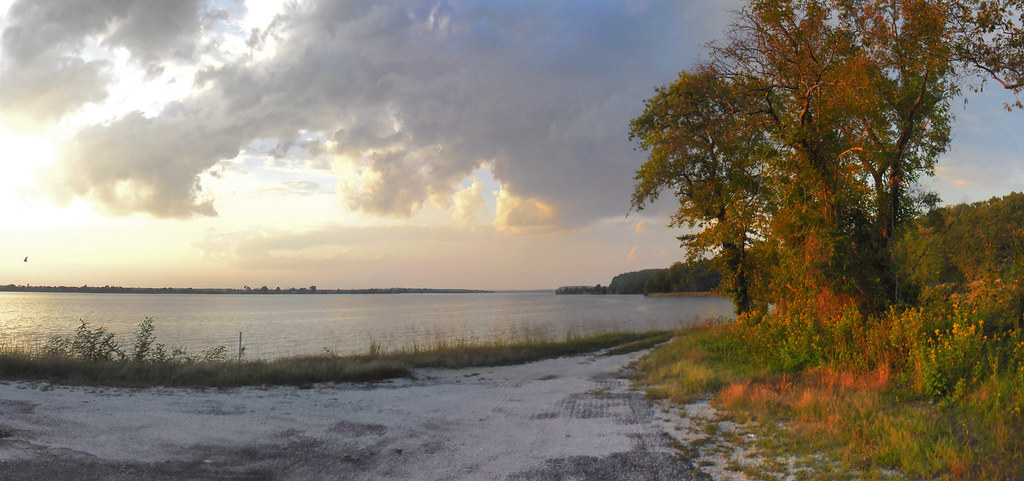
View of the Rappahannock River at Jones Creek
Menokin Cellar

Tappahannock Methodist Church
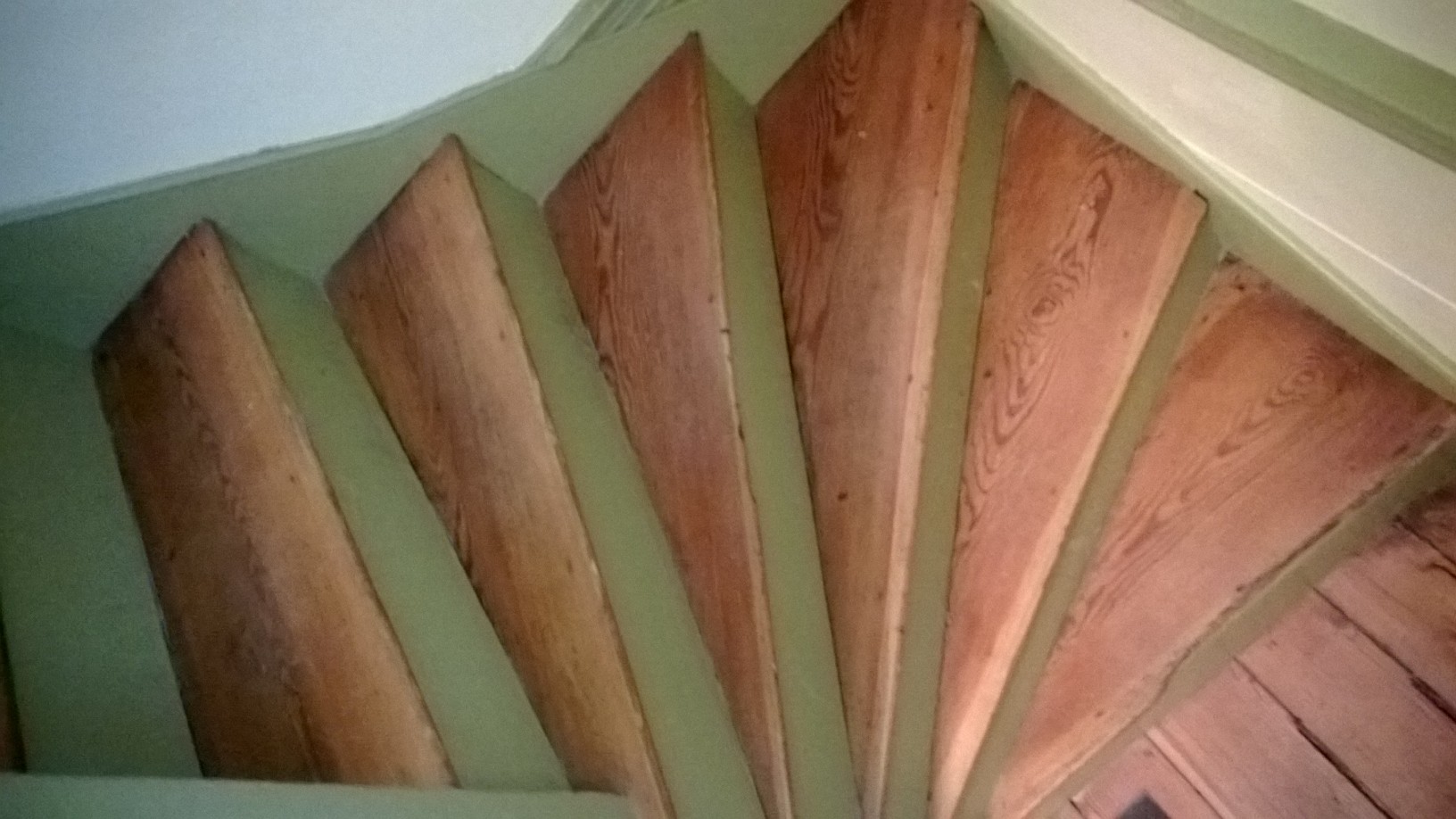
Pie-shaped stairs view
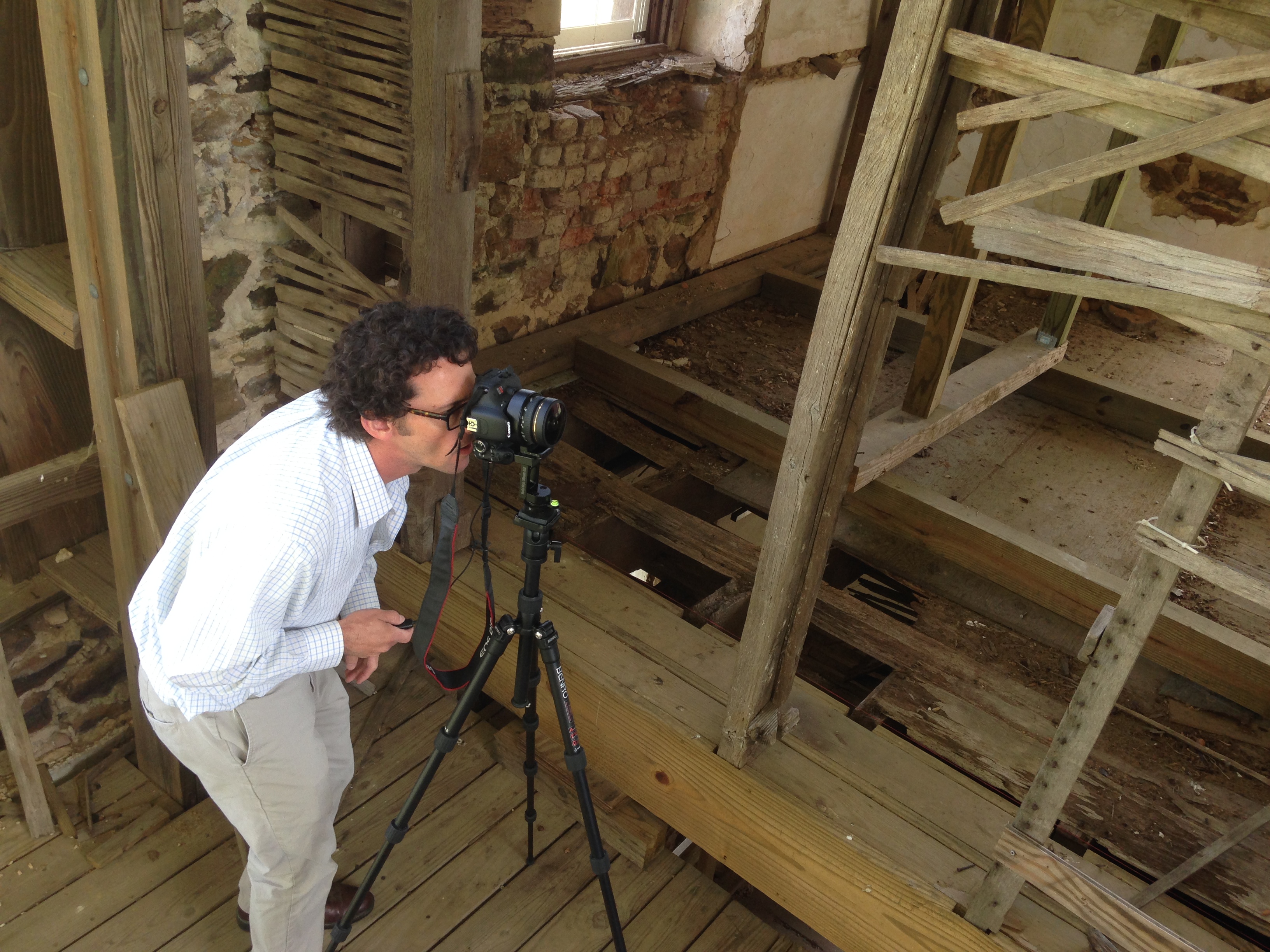
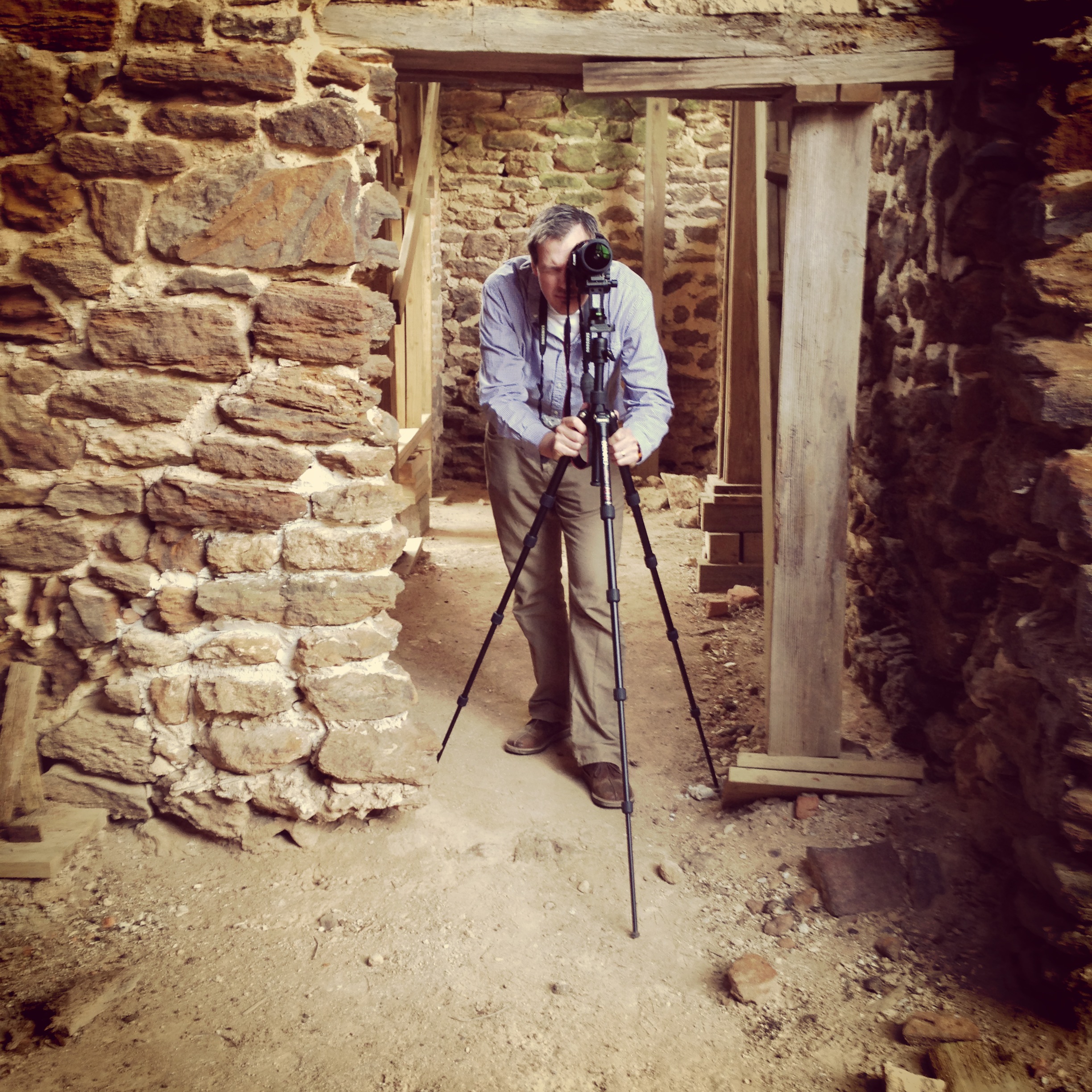
Capturing Google Street View Panoramas at Menokin
Road Trip. Tappahannock Virginia 6:44 p.m. 7/22/16

Cap and gowns today for the class of 2016 at RHS! #raiderpride #keepsakeimages #todayscameraroom #thehighlanderstudios #rappahannockhighschool #nnk

Warsaw, VA Highway Signs

Rappahannock high school JROTC formal tonight! #rhs #richmondcounty #raiderpride #jrotc #highlanderstudios #keepsakeimages

Santa was making his list and checking it twice today at the #richmondcountyymca #keepsakeimages #highlanderstudios #santa #christmas

????Happy Fourth of July! I am celebrating by barbequeing with THIS handsome fellow!????

Elvis piggy bank, taking care of savings in a flash.
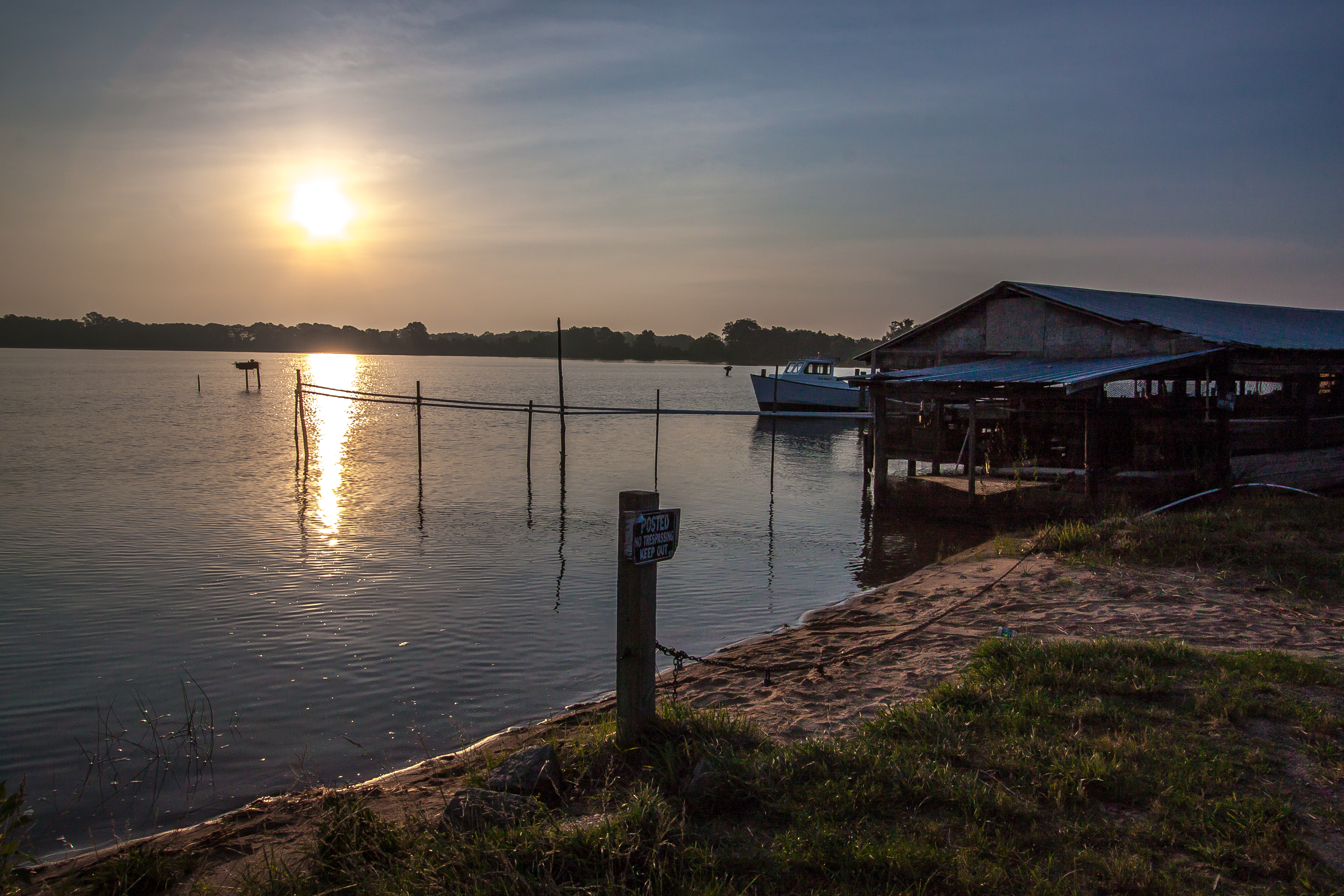
Sunrise Over Cat Point Creek
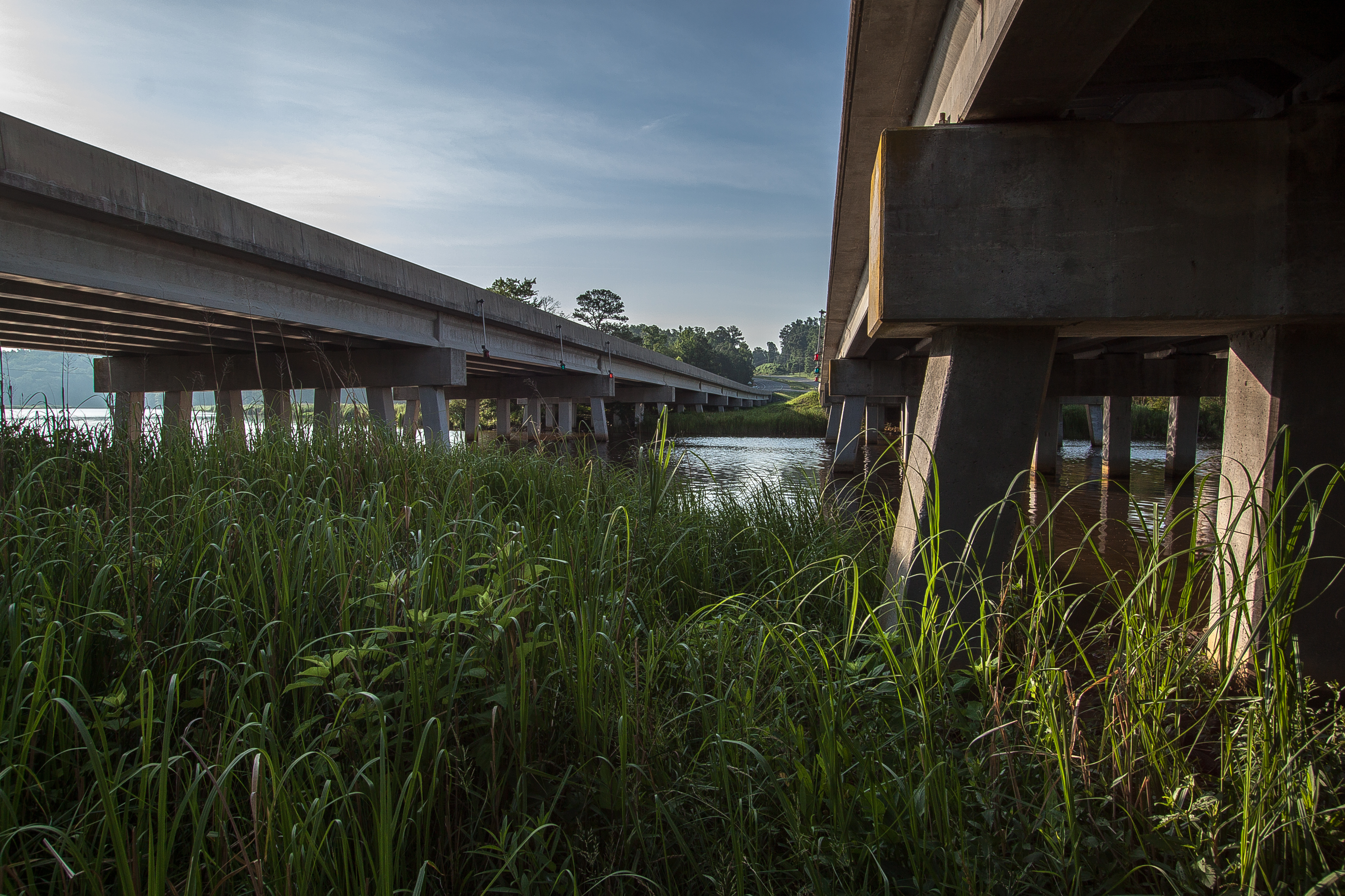
Route 3 Bridges Over Totuskey Creek
I don't mind being stuck on a bridge if it's a bridge over the Rappahannock.... ☀️

Box Elder Tree - Acer negundo

DAW Theatre (Tappahannock)

DAW Theatre (Tappahannock)
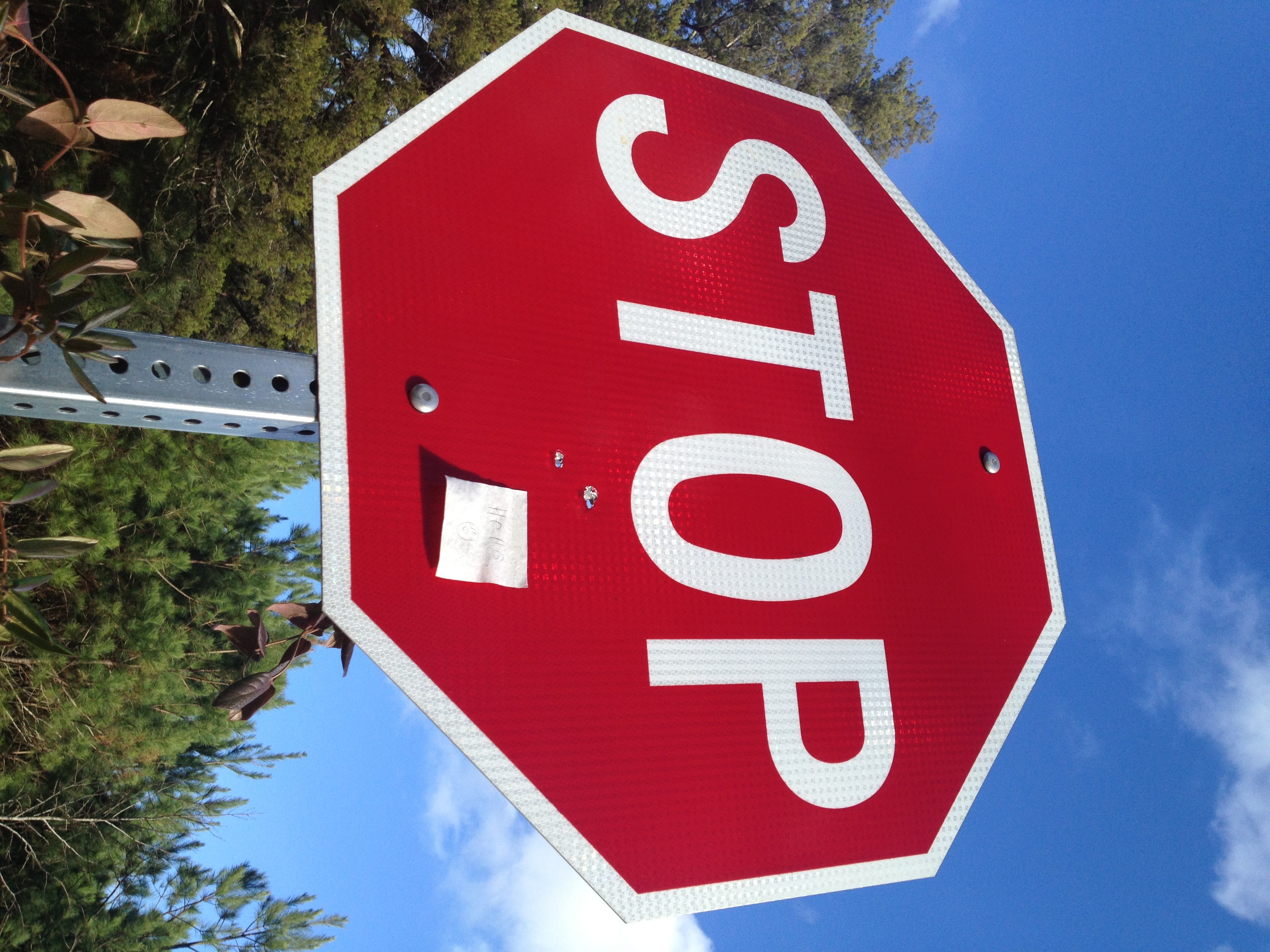
what came first? the bullet holes or the post'em with Hello @ a smilie face?
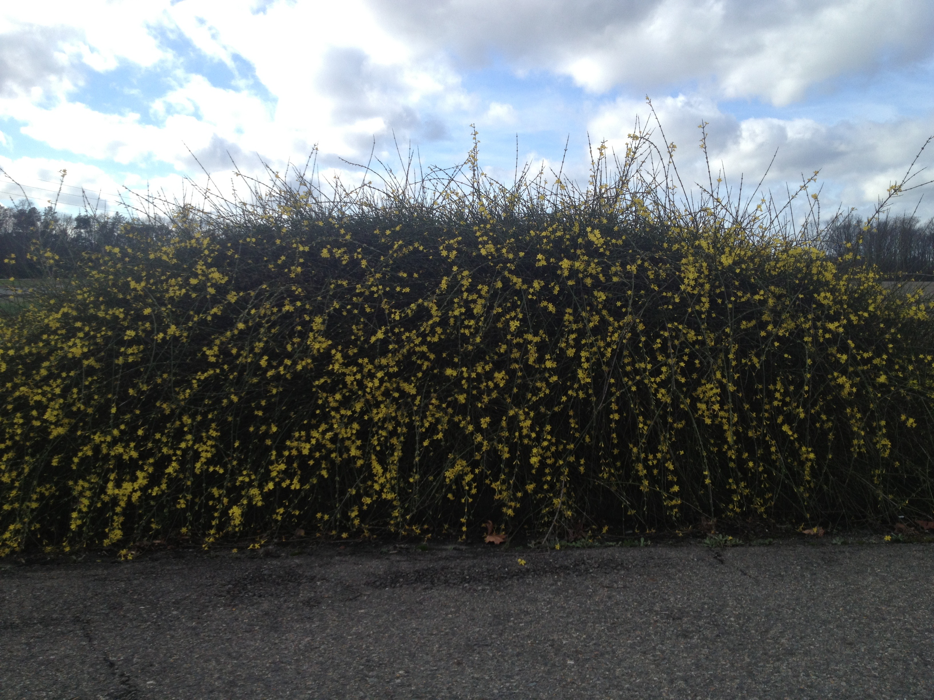
and one wonders where that pollen is coining from...
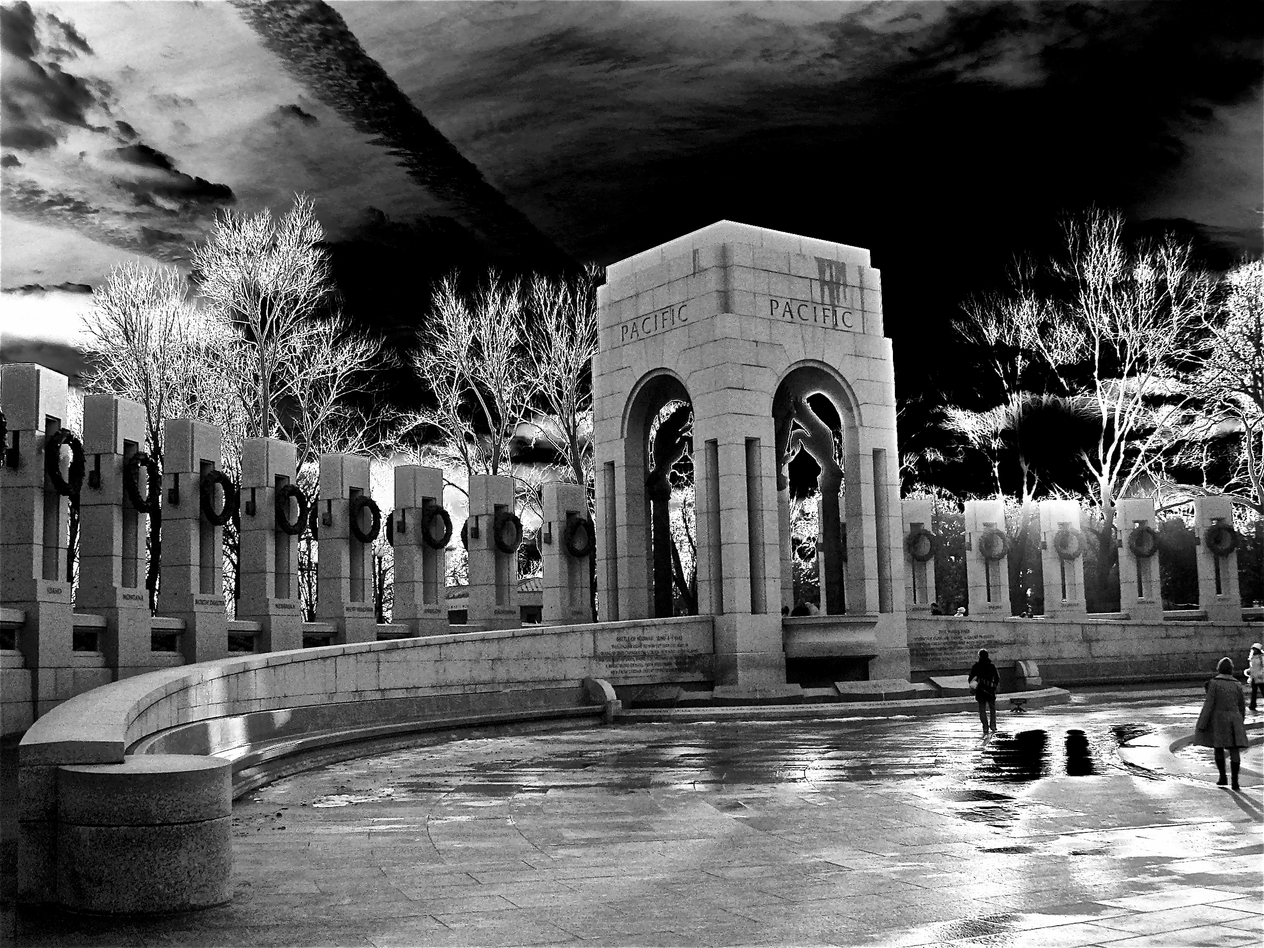
Pacific Theater

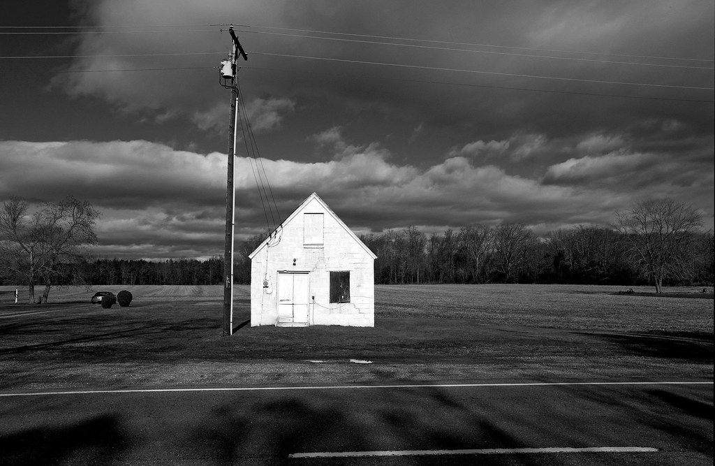
The Abandoned Farm
Smoking section.
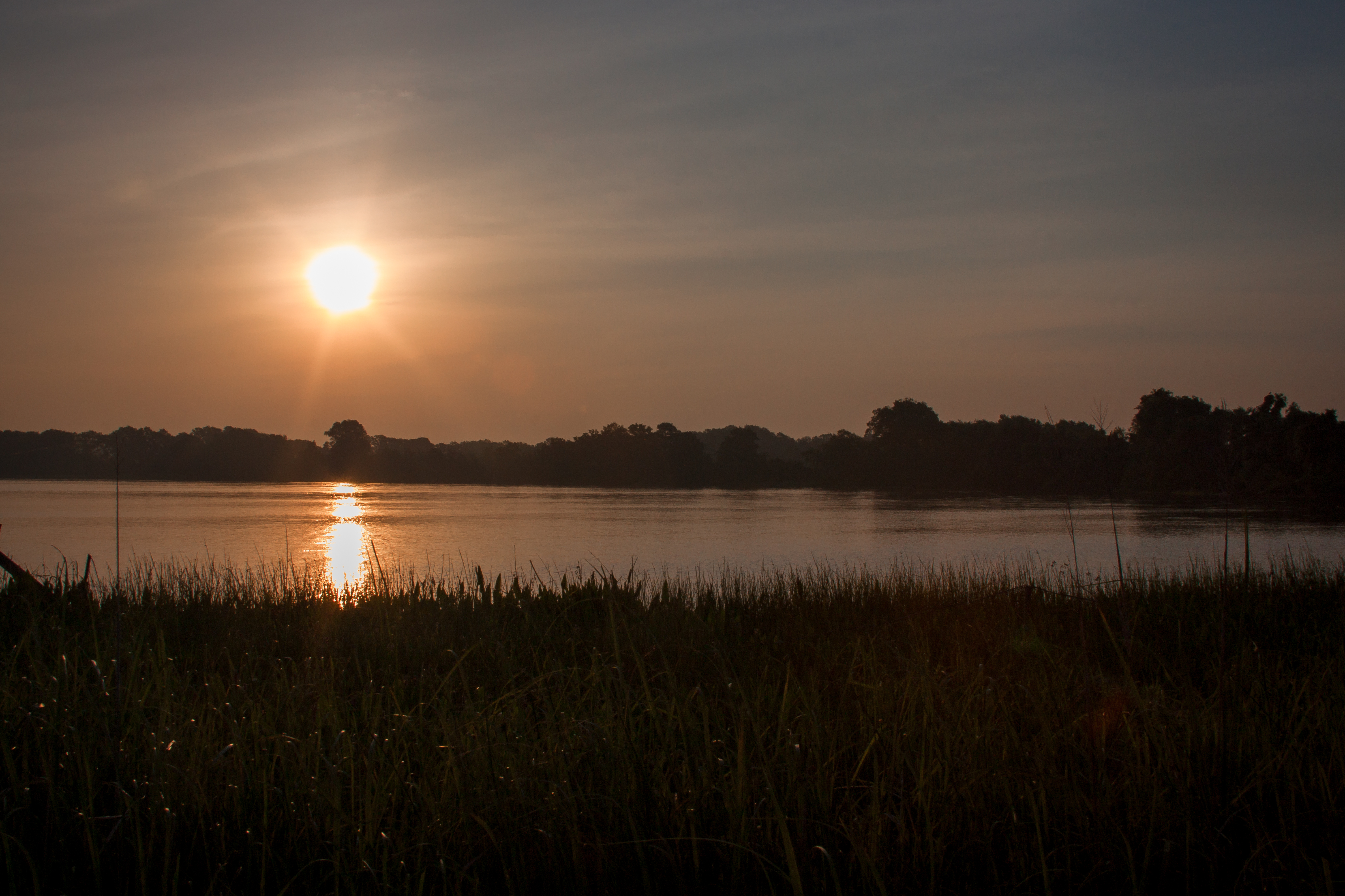
Sunrise Over Cat Point Creek
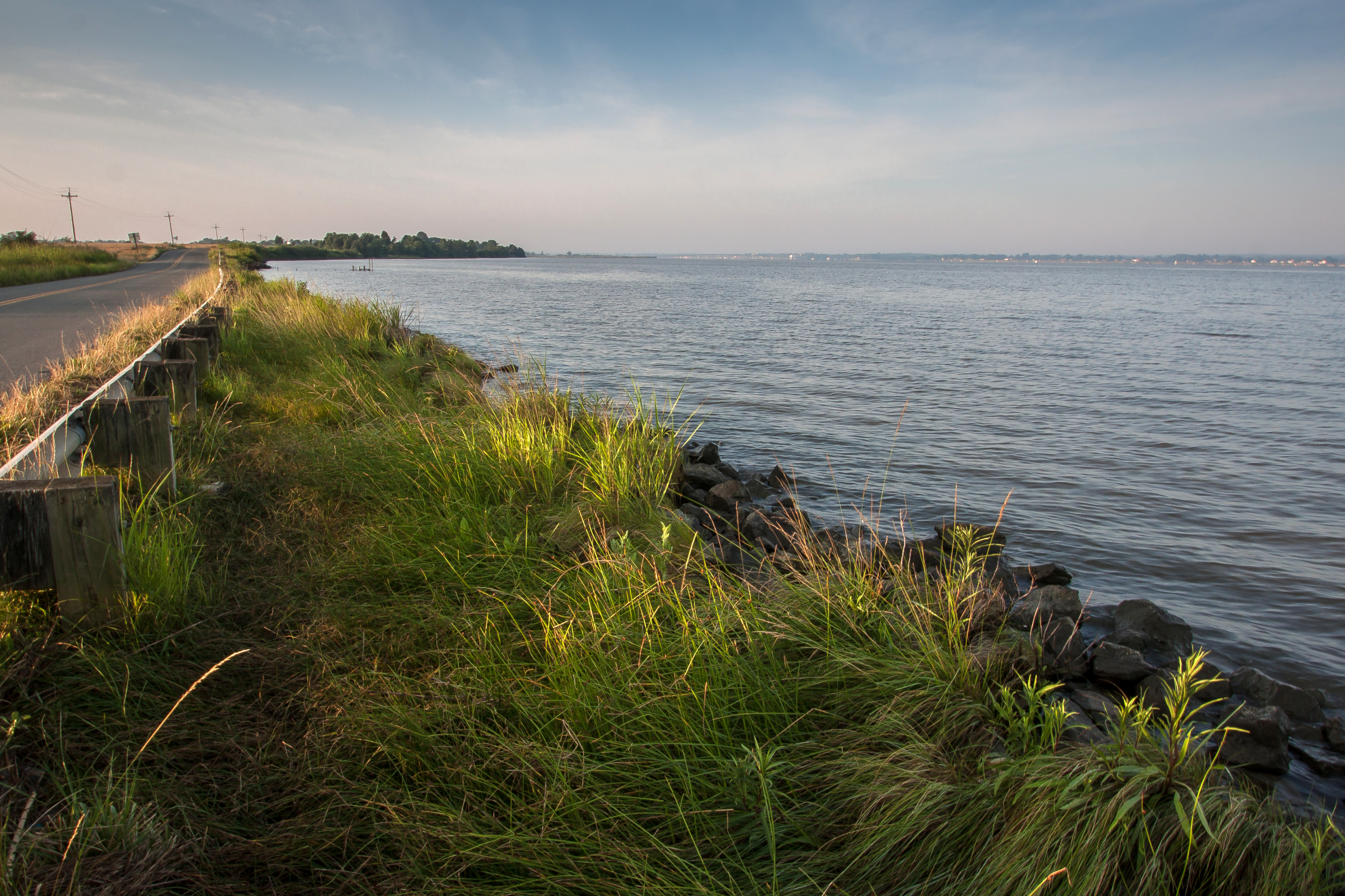
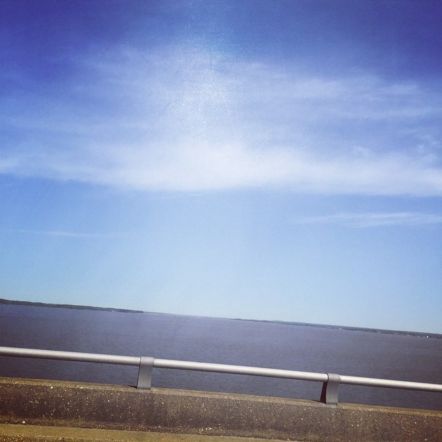
Rappahannock River
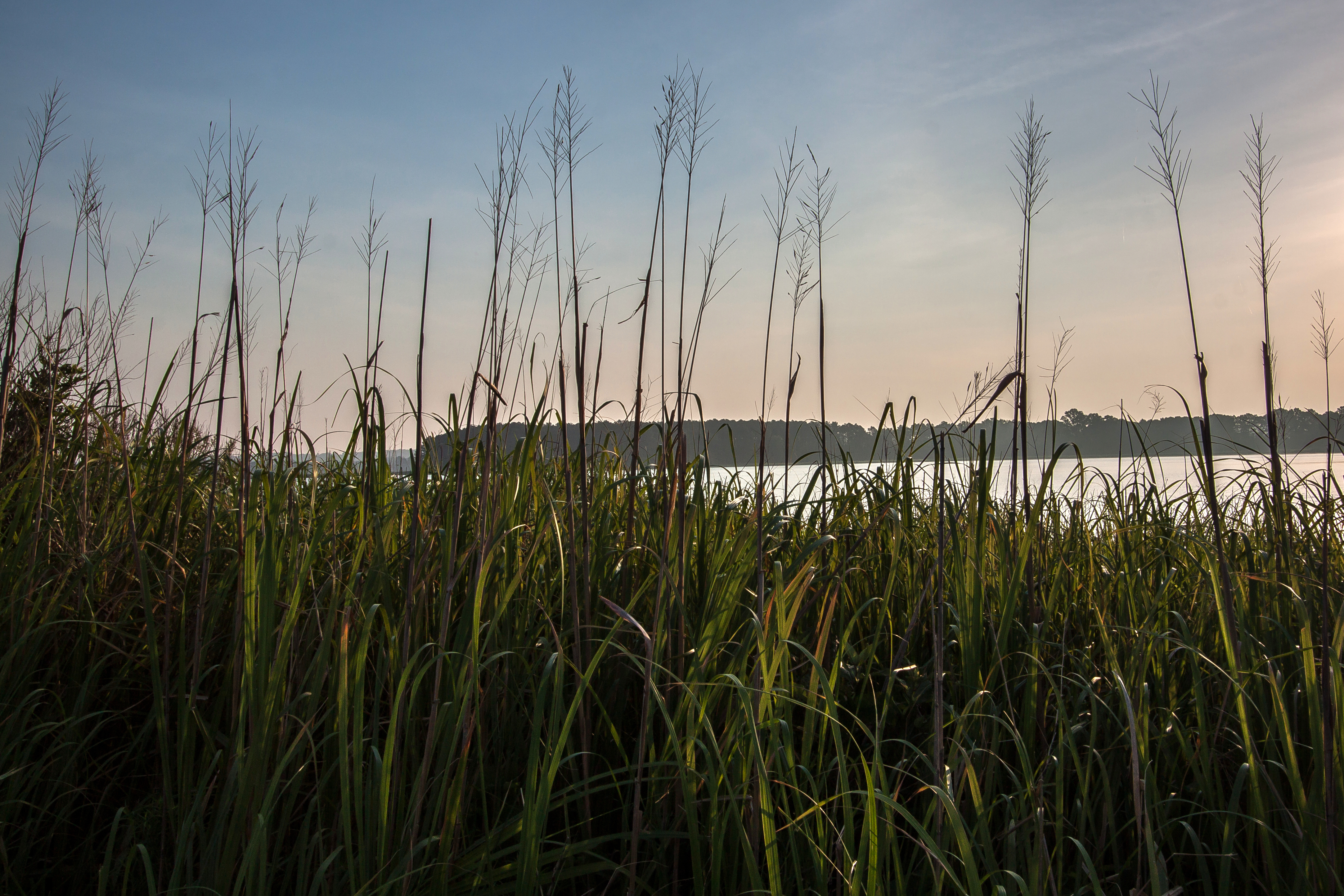
Cat Point Creek
Topographic Map of Mt Landing Rd, Tappahannock, VA, USA
Find elevation by address:

Places near Mt Landing Rd, Tappahannock, VA, USA:
621 Cralle Ave
Tappahannock
Tappahannock
1616 Tappahannock Blvd
23500 Us-17
215 Clements Dr
556 Riverdale Rd
Mt Landing Rd, Tappahannock, VA, USA
128 Hope Ln
2917 Richmond Hwy
Central
Island Farm Rd, Tappahannock, VA, USA
Sunnyside Rd, Tappahannock, VA, USA
26275 Tidewater Trail
River Pl, Dunnsville, VA, USA
Dunnsville
Dunnsville
Dunnsville
Dunnsville
Dunnsville
Recent Searches:
- Elevation of Corso Fratelli Cairoli, 35, Macerata MC, Italy
- Elevation of Tallevast Rd, Sarasota, FL, USA
- Elevation of 4th St E, Sonoma, CA, USA
- Elevation of Black Hollow Rd, Pennsdale, PA, USA
- Elevation of Oakland Ave, Williamsport, PA, USA
- Elevation of Pedrógão Grande, Portugal
- Elevation of Klee Dr, Martinsburg, WV, USA
- Elevation of Via Roma, Pieranica CR, Italy
- Elevation of Tavkvetili Mountain, Georgia
- Elevation of Hartfords Bluff Cir, Mt Pleasant, SC, USA