Elevation of Riverdale Rd, Tappahannock, VA, USA

Location: United States > Virginia > Essex County > Tappahannock > Tappahannock >

Longitude: -76.836316

Latitude: 37.9147114

Elevation: 4m / 13feet

Barometric Pressure: 101KPa

Elevation Map:

elevation map of Riverdale Rd, Tappahannock, VA, USA

Satellite Map:

Satellite map of Riverdale Rd, Tappahannock, VA, USA

Related Photos:

virginia essexcounty middlepeninsula churches tappahannockmethodistchurch methodistchurches greatskies september2013 september 2013 canon24704l
Tappahannock Methodist Church
autumn sunset panorama beautiful river landscape virginia va rappahannock
View of the Rappahannock River at Jones Creek
ames interior abandoned closed dead empty former old vacant warsaw va virginia
Ames interior (closed)
virginia trail 17 rt tappahannock tidewater
Outside Tappahannock
rochester house chesapeake sahara architecture buildings rochesterhouse westmorelandcounty virginia unitedstates
2009JEK0220620.jpg
rochester house chesapeake architecture buildings rochesterhouse westmorelandcounty virginia unitedstates
2009JEK0220623.jpg
piestairs
Pie-shaped stairs view
Menokin Cellar
Mahockney Entrance Gate front view
Capturing Google Street View Panoramas at Menokin
virginia outdoor store landscape usa
All-N-ONE COUNTRY STORE, Richmond County Virginia
morning summer beach grass sign creek cat sunrise river neck point dawn virginia boat sand nest posted va northern osprey notrespassing keepout naylors rappahannock richmondcounty northernneck naylorsbeach catpointcreek
Sunrise Over Cat Point Creek
sunset river virginia va rappahannock
Setting Sun over the Rappahannock River
old morning colors grass clouds sunrise river dawn virginia pier twilight structure va demolished piles tappahannock rappahannockriver
Rappahannock River Sunrise I
clouds creek square squareformat hudson tappahannockva iphoneography essexcountyva instagramapp uploaded:by=instagram hoskinscreek
Under a Cloud-Gray Sky
"Ripple"
piscatawaycreek waterway bridge landscape panorama essexcounty virginia va
Piscataway Creek
light sky colour reflection water clouds digital landscape virginia pentax marsh km richmondcounty tidewater pentaxdaf35561855mmallens
The Marsh
road old house abandoned home architecture landscape virginia us unitedstates farm va 2014 richmondcounty
Abandoned to the Corn
light sky colour reflection water clouds digital landscape virginia pentax marsh km richmondcounty tidewater bej pentaxdaf35561855mmallens
The Marsh
allianceforthechesapeakebay chesapeakebay chesapeakebayprogram government nonprofits parksandrefuges rappahannockrivervalleynationalwildliferefuge recreation richmondcounty science virginia warsaw conservation environment outdoors partnership restoration va unitedstates exif:model=canoneosrebelt2i exif:isospeed=100 camera:model=canoneosrebelt2i geo:country=unitedstates exif:aperture=ƒ56 geo:state=va geo:city=warsaw camera:make=canon exif:focallength=400mm exif:lens=ef100400mmf4556lisusm exif:make=canon
Rappahannock River Valley National Wildlife Refuge in Richmond County, Va.
agriculture business chesapeakebayprogram richmondcounty science summer virginia warsaw conservation environment farm farming food partnership restoration unitedstates exif:aperture=ƒ32 geocity camera:make=nikon exif:focallength=55mm exif:isospeed=800 geo:country=unitedstates geostate exif:make=nikon camera:model=nikond40 exif:model=nikond40
Midway Farms in Richmond County, Va.
allianceforthechesapeakebay chesapeakebay chesapeakebayprogram government nonprofits parksandrefuges rappahannockrivervalleynationalwildliferefuge recreation richmondcounty science virginia warsaw conservation environment outdoors partnership restoration va unitedstates exif:aperture=ƒ18 exif:focallength=40mm camera:model=canoneos5dmarkii camera:make=canon exif:isospeed=100 exif:model=canoneos5dmarkii geo:country=unitedstates exif:lens=ef24105mmf4lisusm geo:state=va geo:city=warsaw exif:make=canon
Rappahannock River Valley National Wildlife Refuge in Richmond County, Va.
allianceforthechesapeakebay chesapeakebay chesapeakebayprogram government nonprofits parksandrefuges rappahannockrivervalleynationalwildliferefuge recreation richmondcounty science virginia warsaw conservation environment outdoors partnership restoration va unitedstates exif:focallength=105mm exif:aperture=ƒ80 camera:model=canoneos5dmarkii camera:make=canon exif:isospeed=100 exif:model=canoneos5dmarkii geo:country=unitedstates exif:lens=ef24105mmf4lisusm geo:state=va geo:city=warsaw exif:make=canon
Rappahannock River Valley National Wildlife Refuge in Richmond County, Va.
allianceforthechesapeakebay chesapeakebay chesapeakebayprogram government nonprofits parksandrefuges rappahannockrivervalleynationalwildliferefuge recreation richmondcounty science virginia warsaw conservation environment outdoors partnership restoration va unitedstates exif:aperture=ƒ18 camera:model=canoneos5dmarkii camera:make=canon exif:isospeed=100 exif:model=canoneos5dmarkii geo:country=unitedstates exif:lens=ef24105mmf4lisusm geo:state=va geo:city=warsaw exif:focallength=24mm exif:make=canon
Rappahannock River Valley National Wildlife Refuge in Richmond County, Va.
outdoors unitedstates conservation science va warsaw environment restoration partnership chesapeakebayprogram parksandrefuges virginia richmondcounty geo:country=unitedstates camera:make=canon exif:make=canon geo:state=va camera:model=canoneos5dmarkii exif:model=canoneos5dmarkii exif:lens=ef24105mmf4lisusm exif:aperture=ƒ18 geo:city=warsaw exif:isospeed=100 exif:focallength=47mm government recreation chesapeakebay nonprofits allianceforthechesapeakebay rappahannockrivervalleynationalwildliferefuge
Rappahannock River Valley National Wildlife Refuge in Richmond County, Va.
bridge virginia dusk va tappahannock
Thomas J Downing Bridge
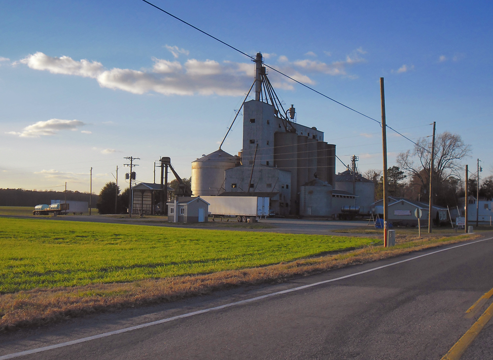
beautiful landscape virginia us farm bluesky va silos 2012 westmorelandcounty
Grain Silos
Sunrise (with Osprey nest)
morning summer reflection mill virginia pond mt dam mount va plantation warsaw airy mtairy millpond richmondcounty mountariry
Mt. Airy Millpond