Elevation of Clements Dr, Tappahannock, VA, USA
Longitude: -76.872291
Latitude: 37.888032
Elevation: 36m / 118feet
Barometric Pressure: 101KPa
Elevation Map:
Satellite Map:
Related Photos:

Ames interior (closed)

Outside Tappahannock

View of the Rappahannock River at Jones Creek
Capturing Google Street View Panoramas at Menokin

Tappahannock Methodist Church

Pie-shaped stairs view

Menokin Cellar

Mahockney Entrance Gate front view

Sunrise Over Cat Point Creek

The Marsh

Abandoned to the Corn

Midway Farms in Richmond County, Virginia
Rappahannock River Valley National Wildlife Refuge in Richmond County, Va.

Rappahannock River Sunrise I

Setting Sun over the Rappahannock River

Rappahannock River Valley National Wildlife Refuge in Richmond County, Va.
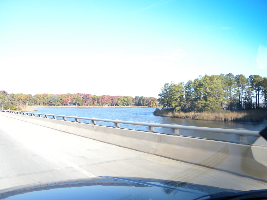
Thomas J Downing Bridge

Midway Farms in Richmond County, Va.
"Ripple"

Mt. Airy Millpond

Rappahannock River

I don't mind being stuck on a bridge if it's a bridge over the Rappahannock.... ☀️

Cat Point Creek
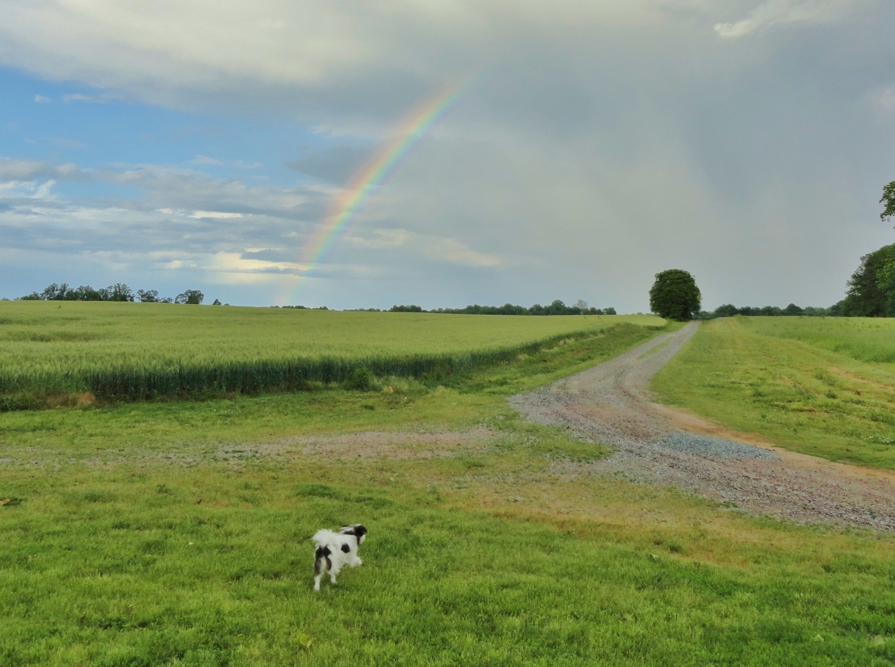
Zasu (the Zen-Master Japanese Chen) checks out our rainbow

Sunrise Over Cat Point Creek
DSCN5180.JPG

Windy on the Rappahannock

Piscataway Creek
Topographic Map of Clements Dr, Tappahannock, VA, USA
Find elevation by address:

Places near Clements Dr, Tappahannock, VA, USA:
23500 Us-17
1616 Tappahannock Blvd
Mt Landing Rd, Tappahannock, VA, USA
621 Cralle Ave
Tappahannock
2917 Richmond Hwy
Tappahannock
556 Riverdale Rd
26275 Tidewater Trail
Island Farm Rd, Tappahannock, VA, USA
Central
Dunnsville
Dunnsville
Dunnsville
Dunnsville
Dunnsville
Dunnsville
Dunnsville
Dunnsville
Dunnsville
Recent Searches:
- Elevation of Corso Fratelli Cairoli, 35, Macerata MC, Italy
- Elevation of Tallevast Rd, Sarasota, FL, USA
- Elevation of 4th St E, Sonoma, CA, USA
- Elevation of Black Hollow Rd, Pennsdale, PA, USA
- Elevation of Oakland Ave, Williamsport, PA, USA
- Elevation of Pedrógão Grande, Portugal
- Elevation of Klee Dr, Martinsburg, WV, USA
- Elevation of Via Roma, Pieranica CR, Italy
- Elevation of Tavkvetili Mountain, Georgia
- Elevation of Hartfords Bluff Cir, Mt Pleasant, SC, USA