Elevation of Sundance Cir, Wright, WY, USA
Location: United States > Wyoming > Campbell County > Wright >
Longitude: -105.48435
Latitude: 43.7499457
Elevation: 1522m / 4993feet
Barometric Pressure: 84KPa
Elevation Map:
Satellite Map:
Related Photos:
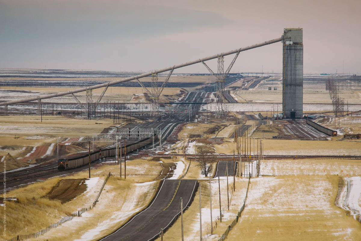
No. 5473 - Union Pacific - Wright, Wyo.
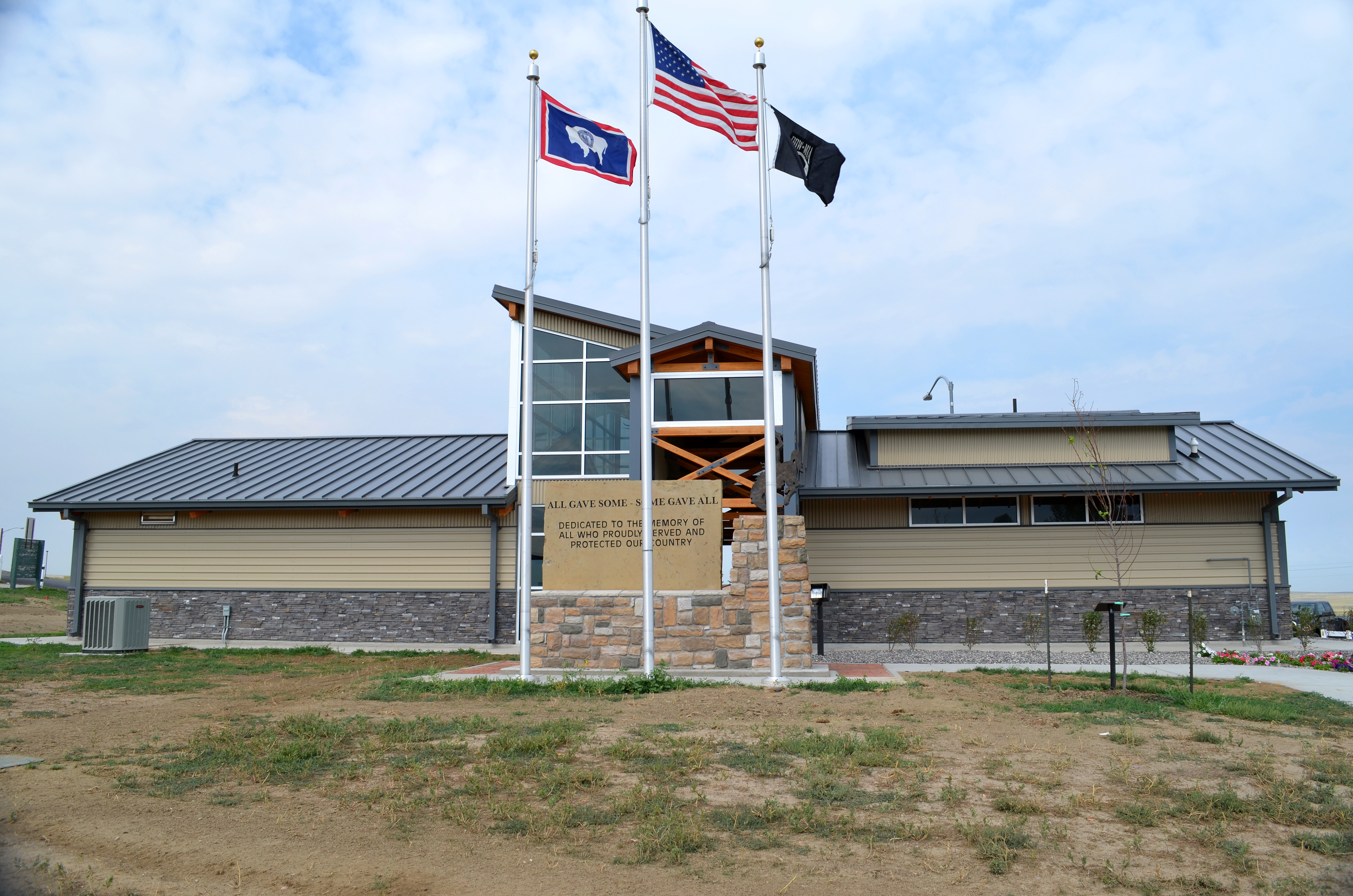
0016-02 USA Vacation, Wyoming, Wright, Services & Memorial Rear View

highway 59 gillette
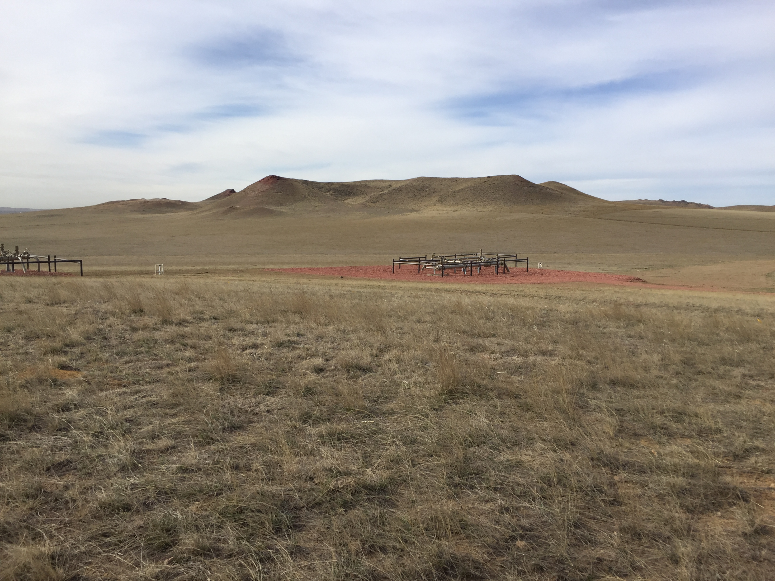
Landscape Wyoming
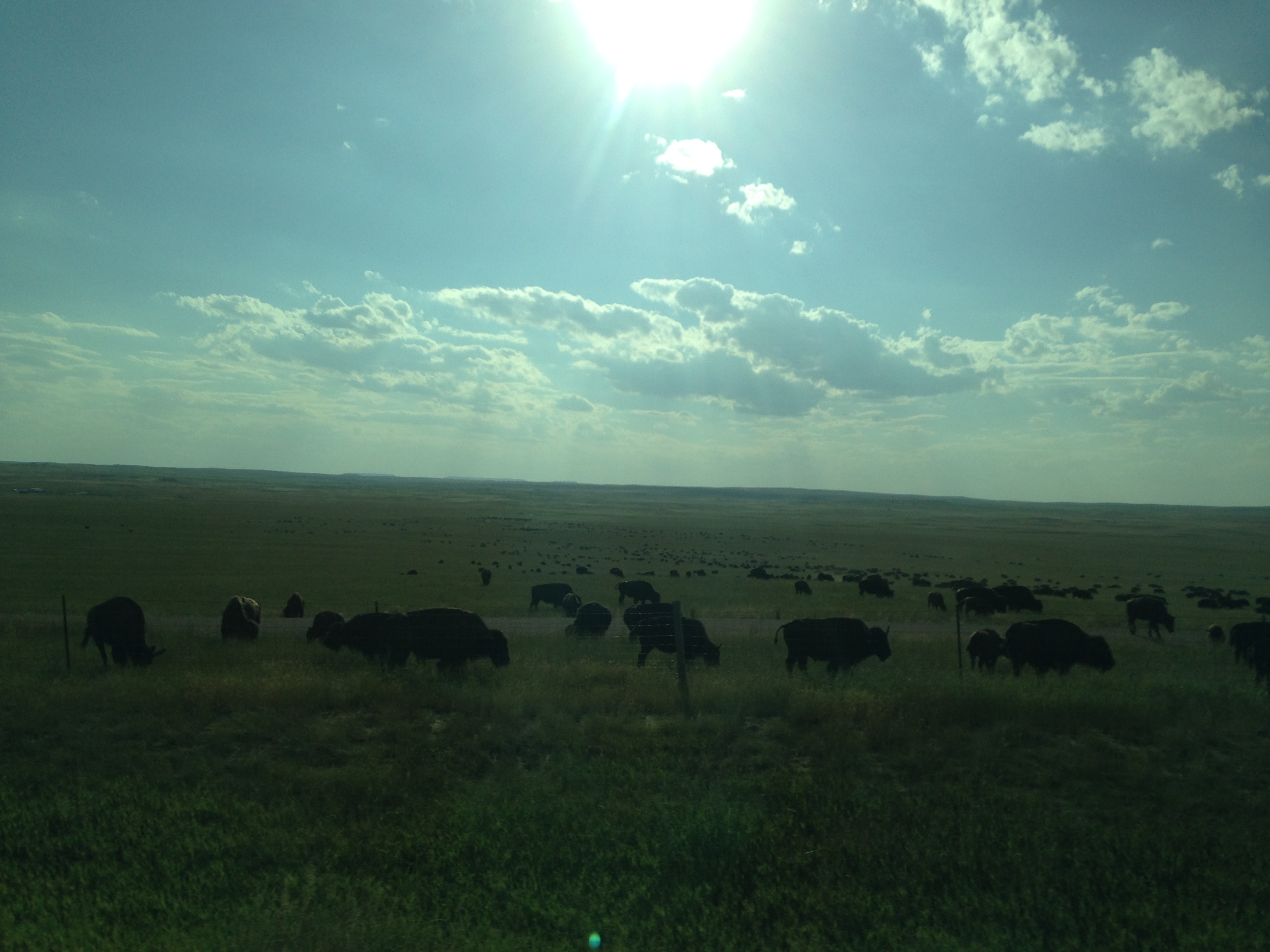
Wyoming buffalo
Landscape Wyoming
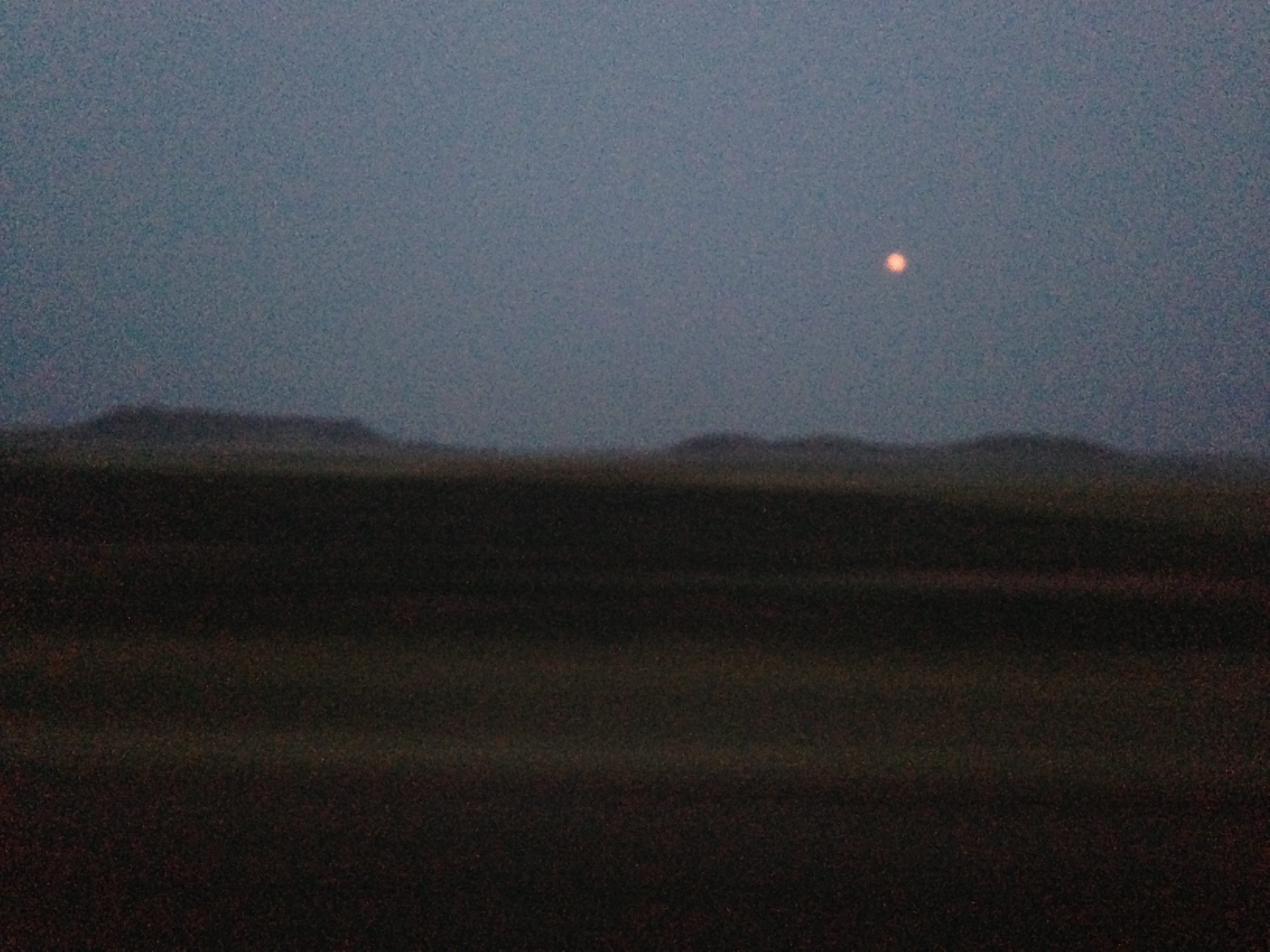
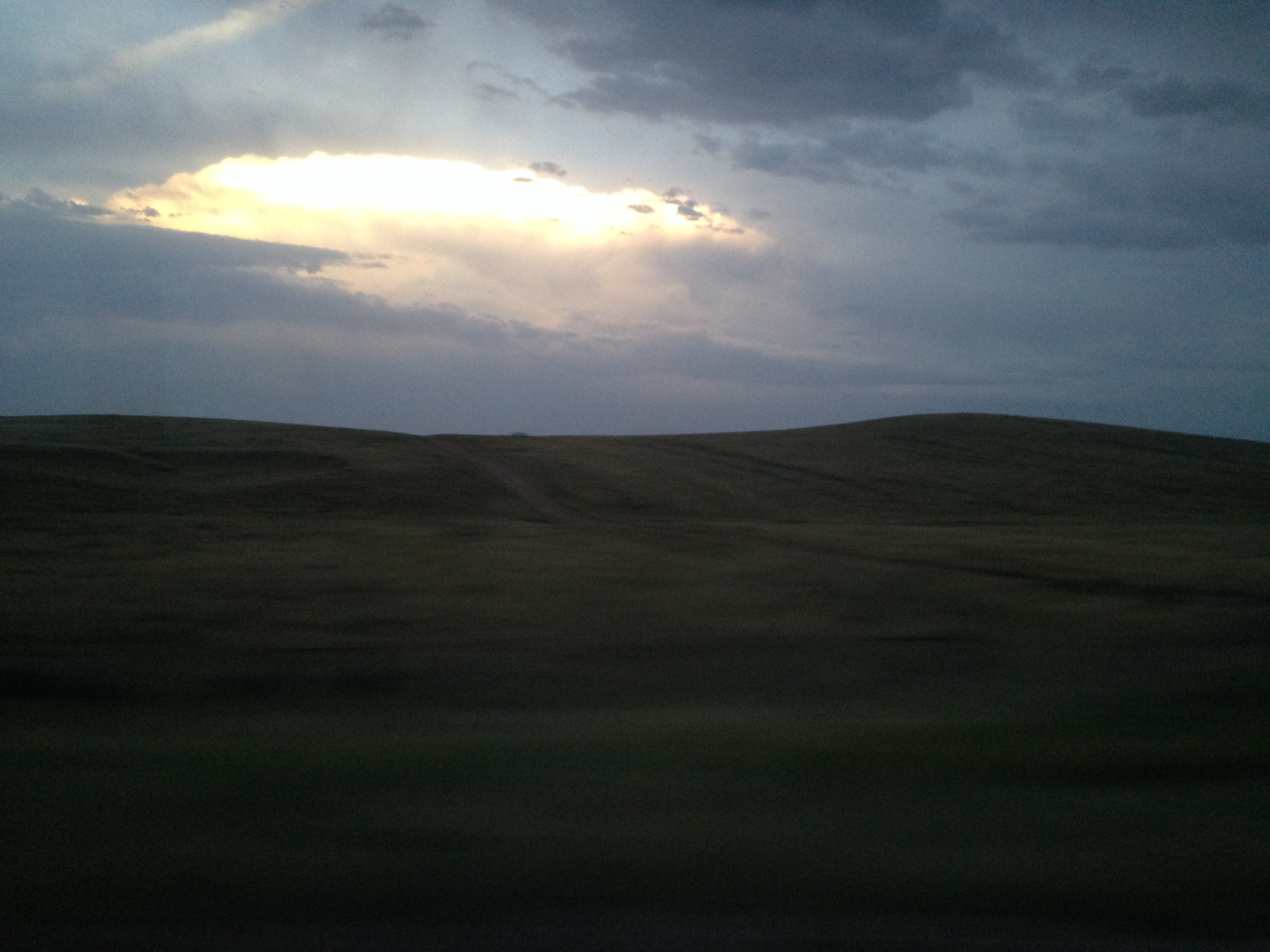
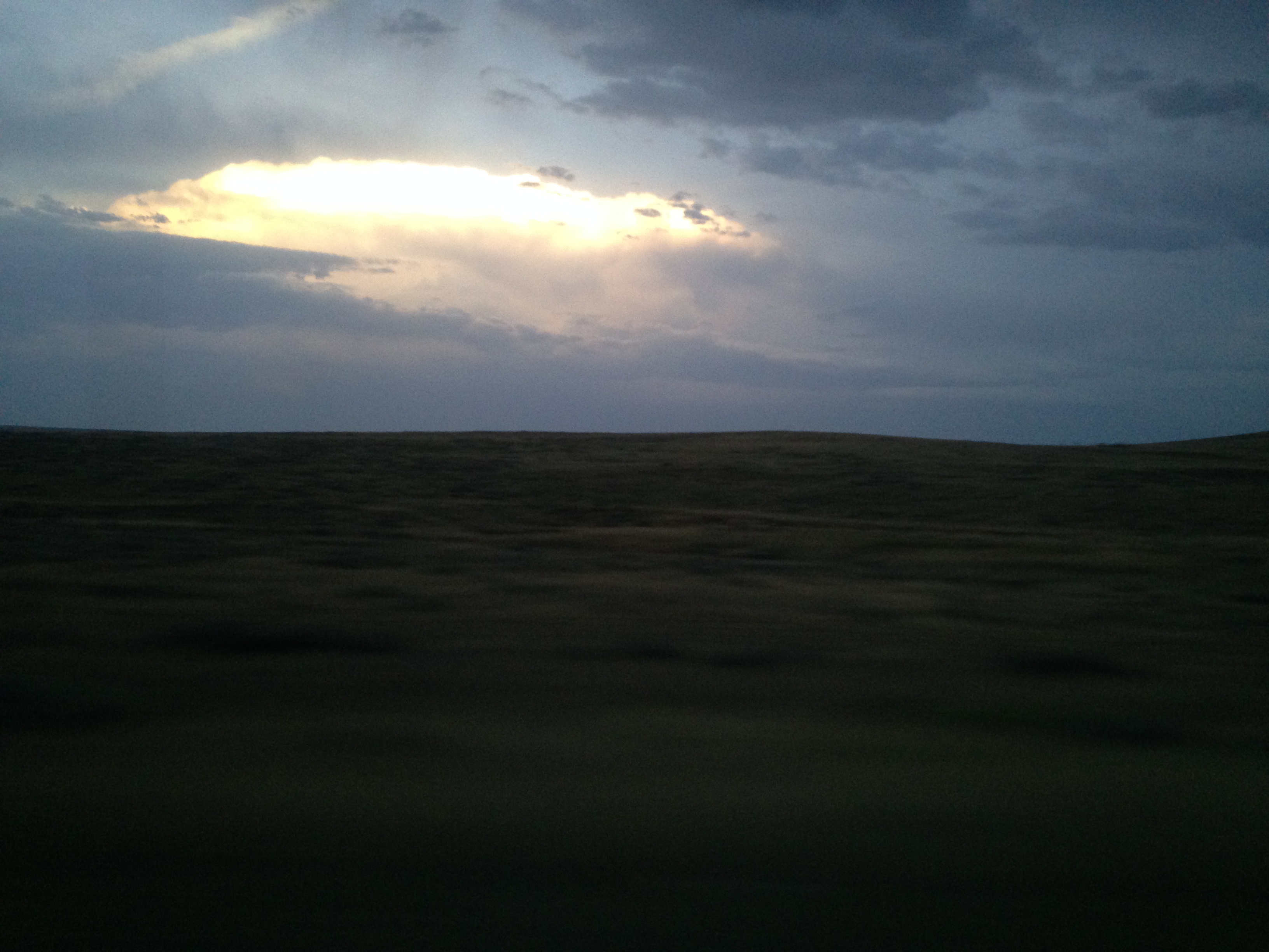
Wyoming landscape moon rising

Wyoming landscape moon rising
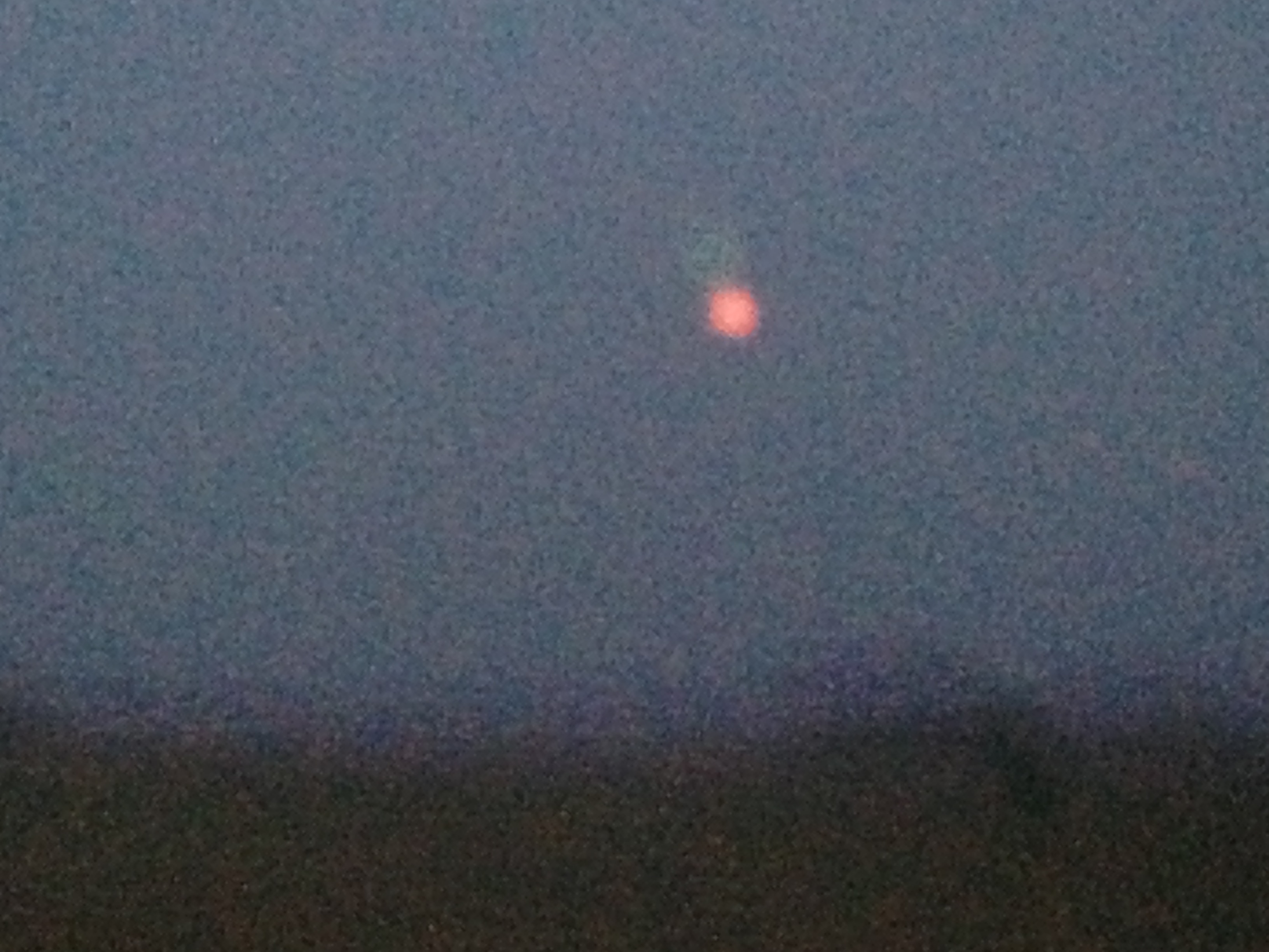
Wyoming landscape moon rising
No. 5500 - Union Pacific - Wright, Wyo.

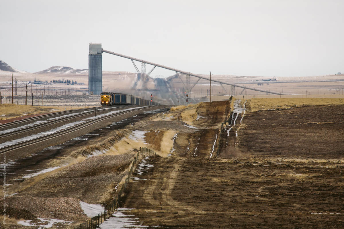
Black Thunder Coal Mine
gillette wyoming
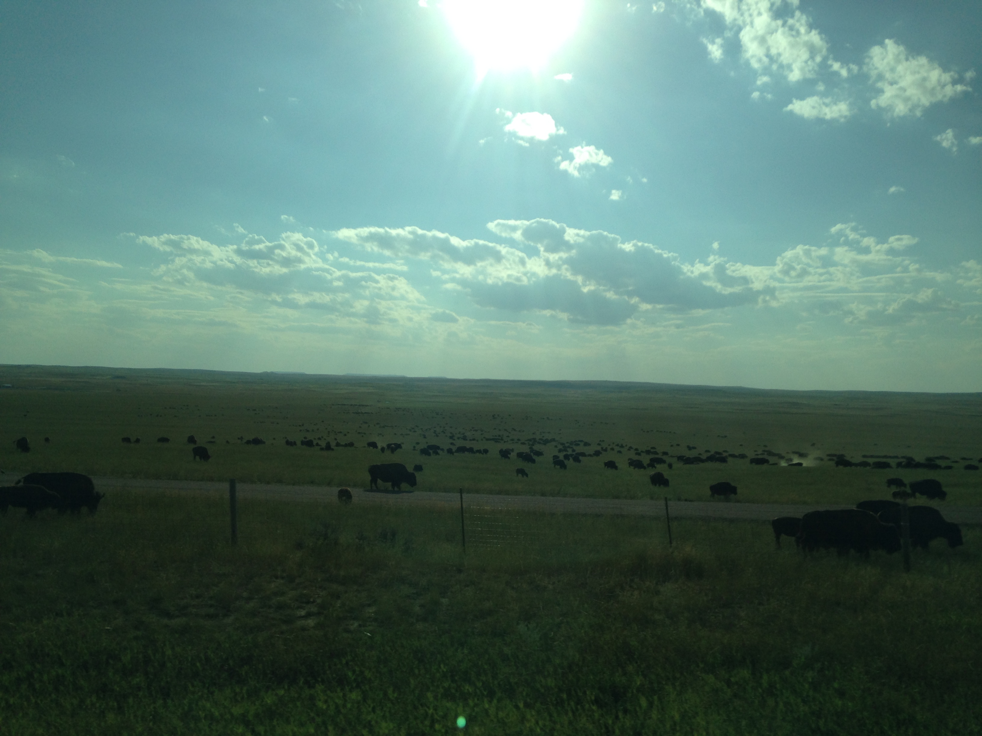
Wyoming buffalo
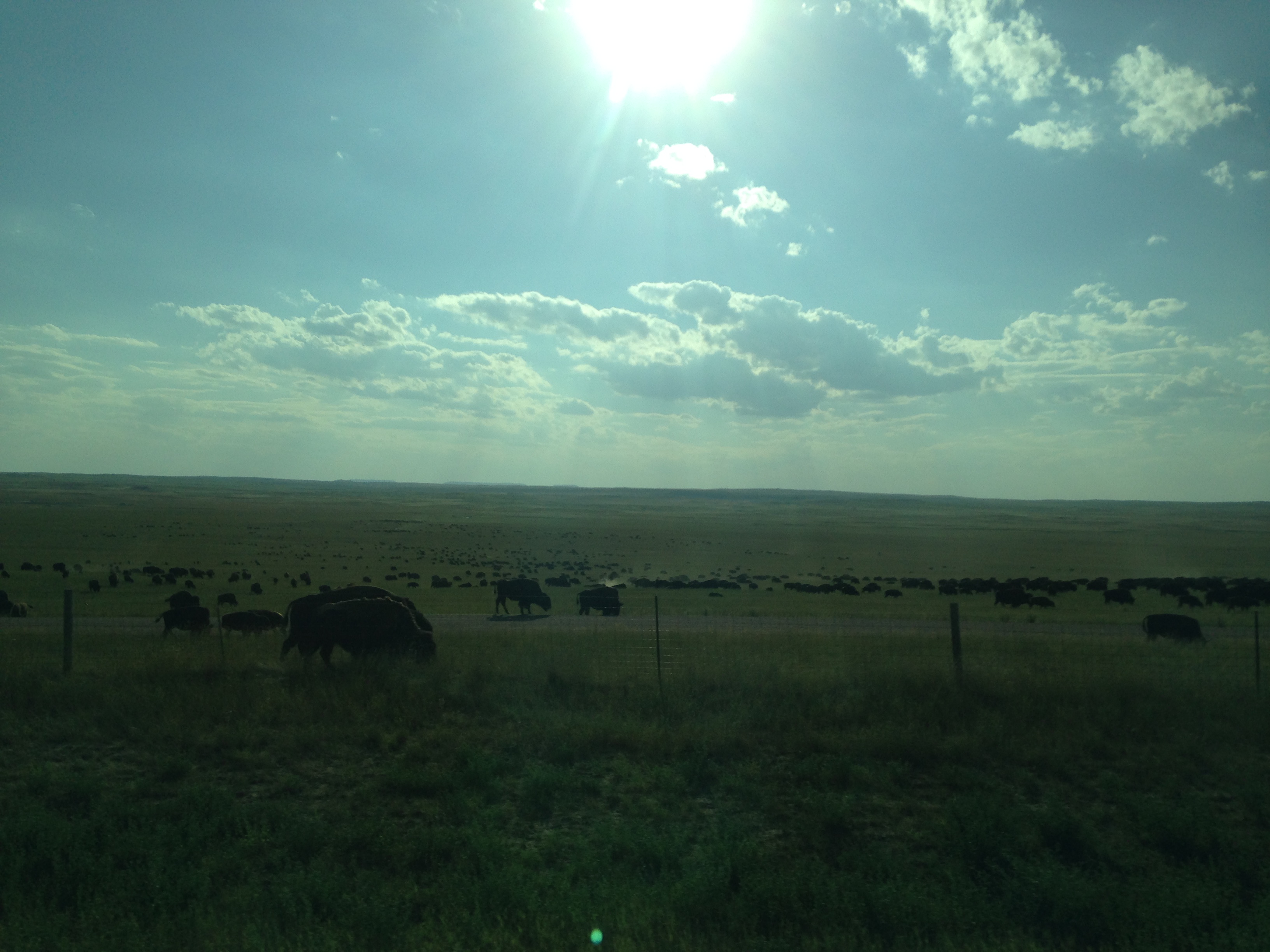
Wyoming buffalo

Wyoming buffalo
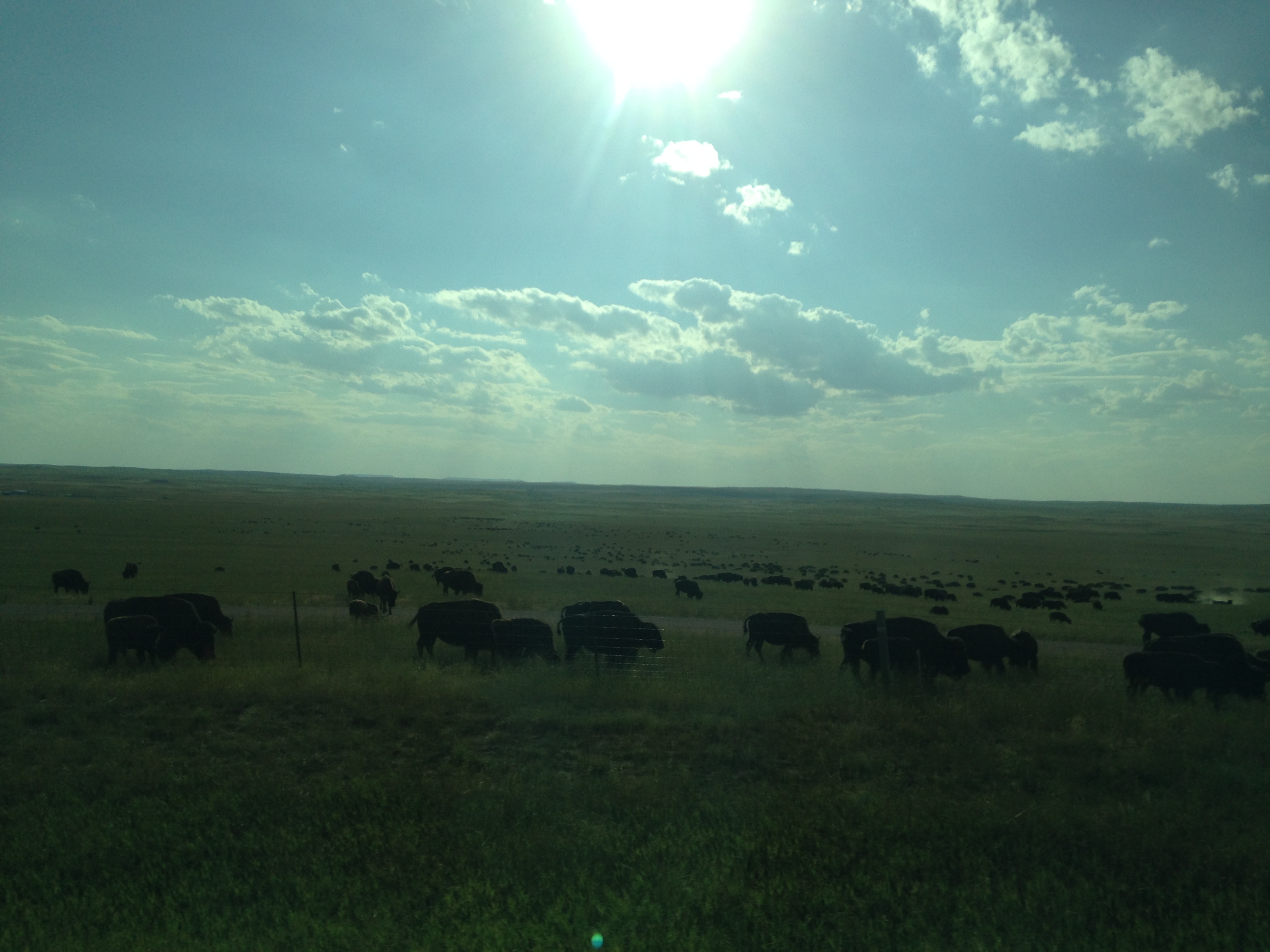
Wyoming buffalo
Topographic Map of Sundance Cir, Wright, WY, USA
Find elevation by address:

Places near Sundance Cir, Wright, WY, USA:
Wright
7541-7525 Wy-59
7535 Wy-59
7568 Wy-59
Pleasantdale
1133 Wy-50
Antelope Valley-crestview
5122 Swanson Rd
617 Frontier Dr
Campbell County Road & Bridge
25 Franklin Ave
Gillette
207 E 1st St
910 N Gurley Ave
Sussex Rd, Kaycee, WY, USA
Johnson County
Arvada
1519 Tipperary Rd
1st St, Kaycee, WY, USA
261 Nolan Ave
Recent Searches:
- Elevation of Corso Fratelli Cairoli, 35, Macerata MC, Italy
- Elevation of Tallevast Rd, Sarasota, FL, USA
- Elevation of 4th St E, Sonoma, CA, USA
- Elevation of Black Hollow Rd, Pennsdale, PA, USA
- Elevation of Oakland Ave, Williamsport, PA, USA
- Elevation of Pedrógão Grande, Portugal
- Elevation of Klee Dr, Martinsburg, WV, USA
- Elevation of Via Roma, Pieranica CR, Italy
- Elevation of Tavkvetili Mountain, Georgia
- Elevation of Hartfords Bluff Cir, Mt Pleasant, SC, USA