Elevation of Pleasantdale, WY, USA
Location: United States > Wyoming > Campbell County >
Longitude: -105.71905
Latitude: 44.075649
Elevation: 1508m / 4947feet
Barometric Pressure: 84KPa
Elevation Map:
Satellite Map:
Related Photos:
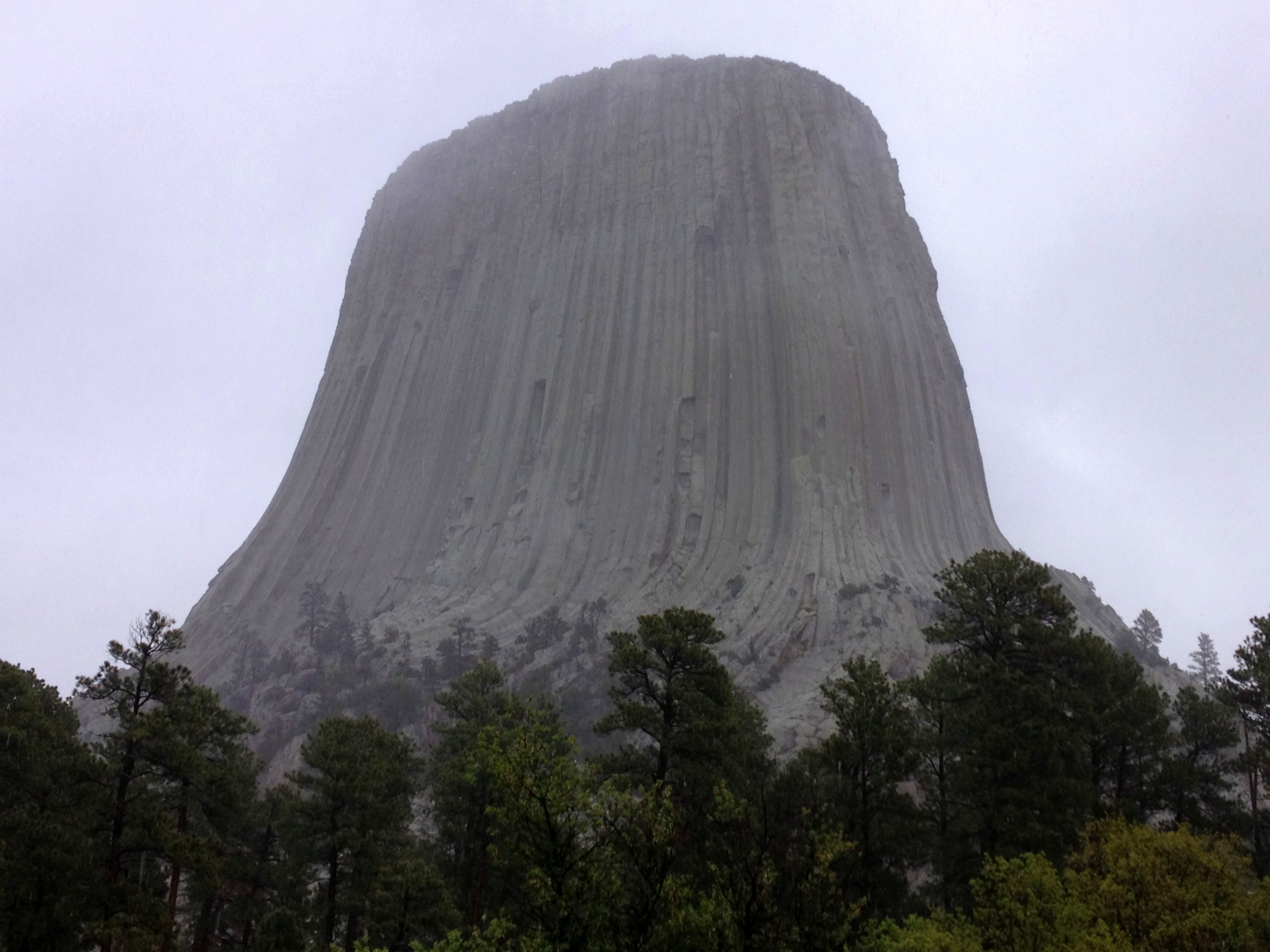
Devils Tower
Topographic Map of Pleasantdale, WY, USA
Find elevation by address:

Places near Pleasantdale, WY, USA:
1133 Wy-50
25 Franklin Ave
617 Frontier Dr
Antelope Valley-crestview
Campbell County Road & Bridge
5122 Swanson Rd
Gillette
207 E 1st St
910 N Gurley Ave
7568 Wy-59
7535 Wy-59
7541-7525 Wy-59
Wright
Sundance Cir, Wright, WY, USA
Sussex Rd, Kaycee, WY, USA
Arvada
Johnson County
1519 Tipperary Rd
US-14, Arvada, WY, USA
New York Ave, Clearmont, WY, USA
Recent Searches:
- Elevation of Corso Fratelli Cairoli, 35, Macerata MC, Italy
- Elevation of Tallevast Rd, Sarasota, FL, USA
- Elevation of 4th St E, Sonoma, CA, USA
- Elevation of Black Hollow Rd, Pennsdale, PA, USA
- Elevation of Oakland Ave, Williamsport, PA, USA
- Elevation of Pedrógão Grande, Portugal
- Elevation of Klee Dr, Martinsburg, WV, USA
- Elevation of Via Roma, Pieranica CR, Italy
- Elevation of Tavkvetili Mountain, Georgia
- Elevation of Hartfords Bluff Cir, Mt Pleasant, SC, USA