Elevation of Arvada, WY, USA
Location: United States > Wyoming > Sheridan County >
Longitude: -106.13113
Latitude: 44.6535934
Elevation: 1119m / 3671feet
Barometric Pressure: 89KPa
Elevation Map:
Satellite Map:
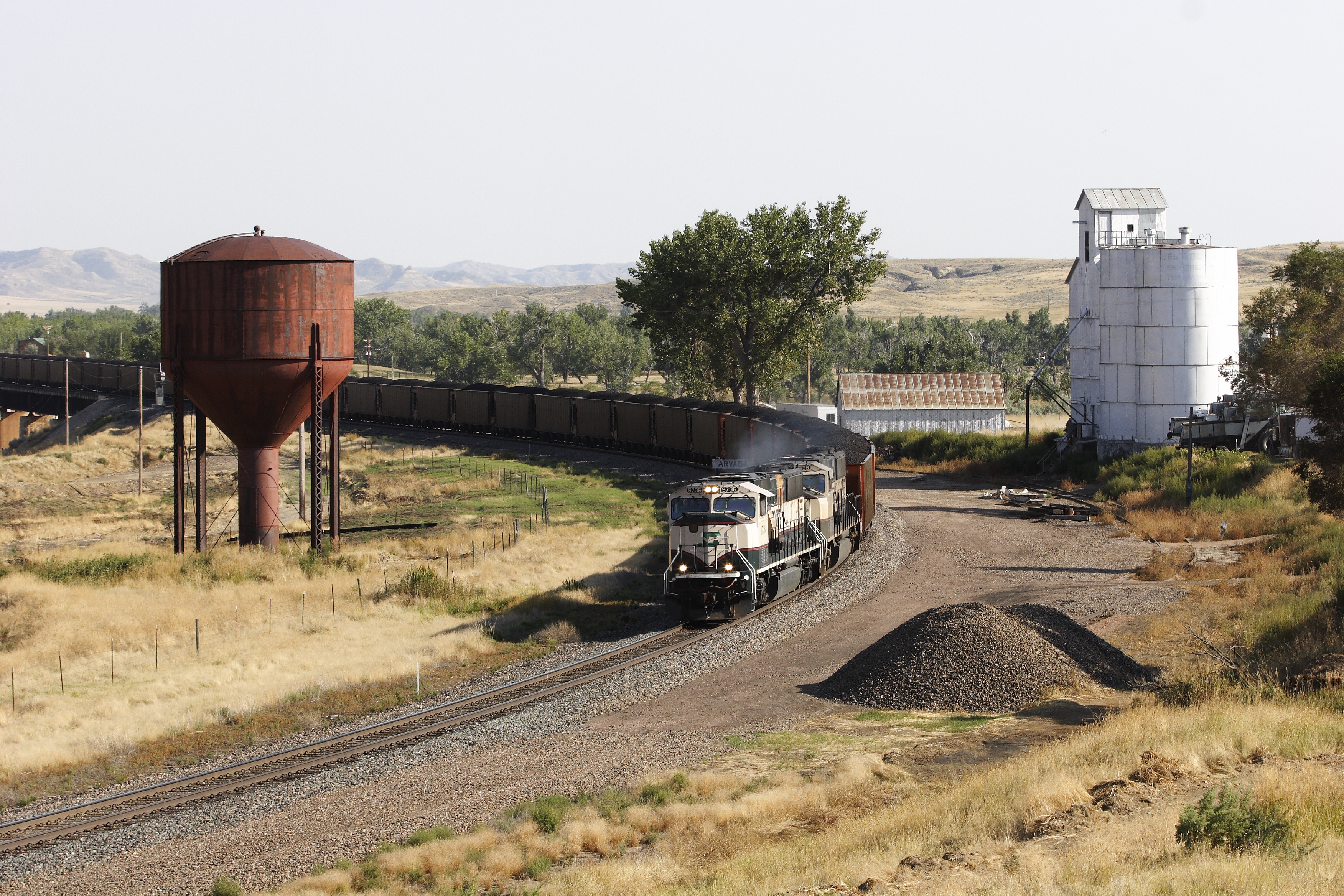
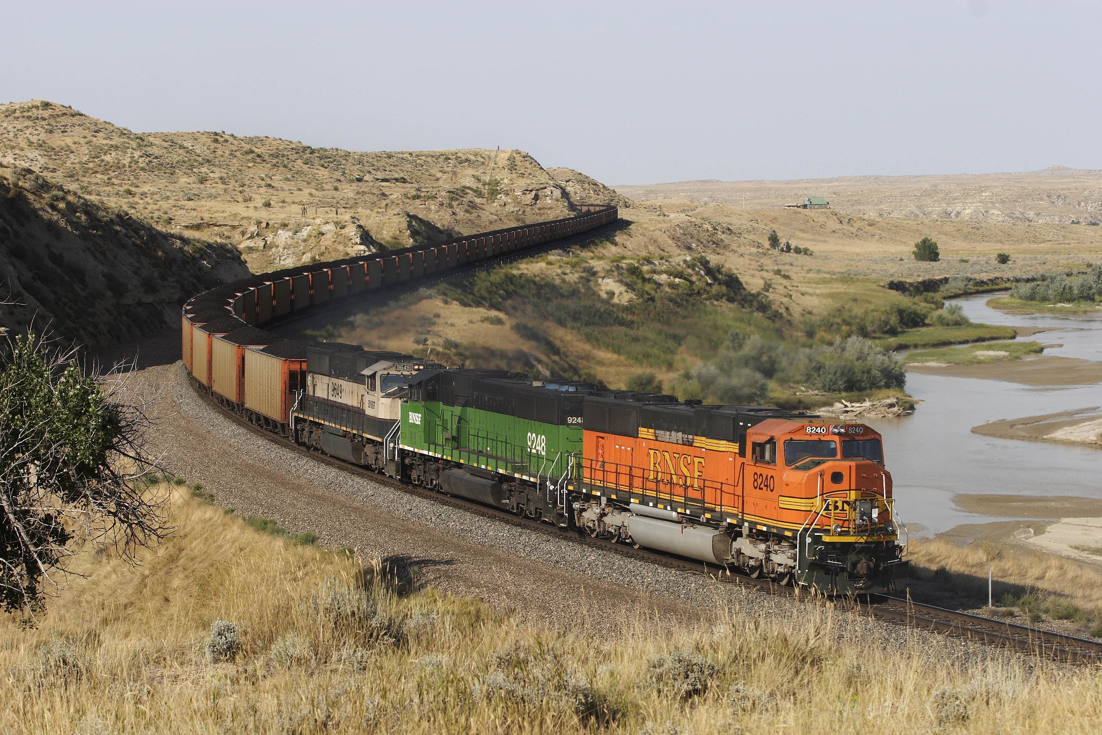
Related Photos:
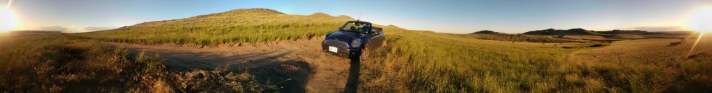
2014-06-29 20.15.02
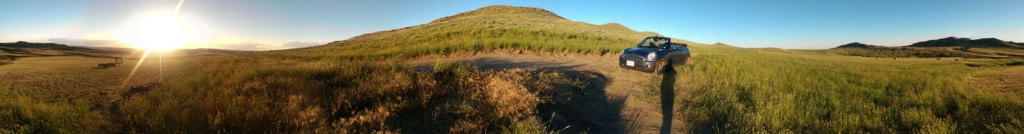
2014-06-29 20.15.30
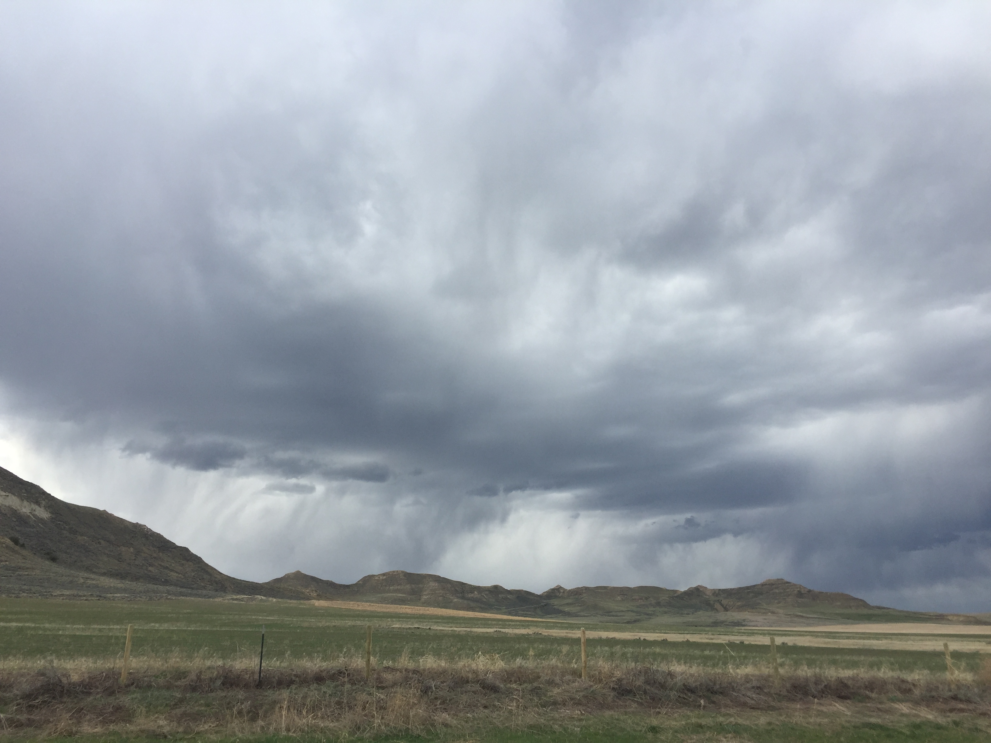
Super-dramatic clouds on the way from Sheridan, WY to Rapid City, SD
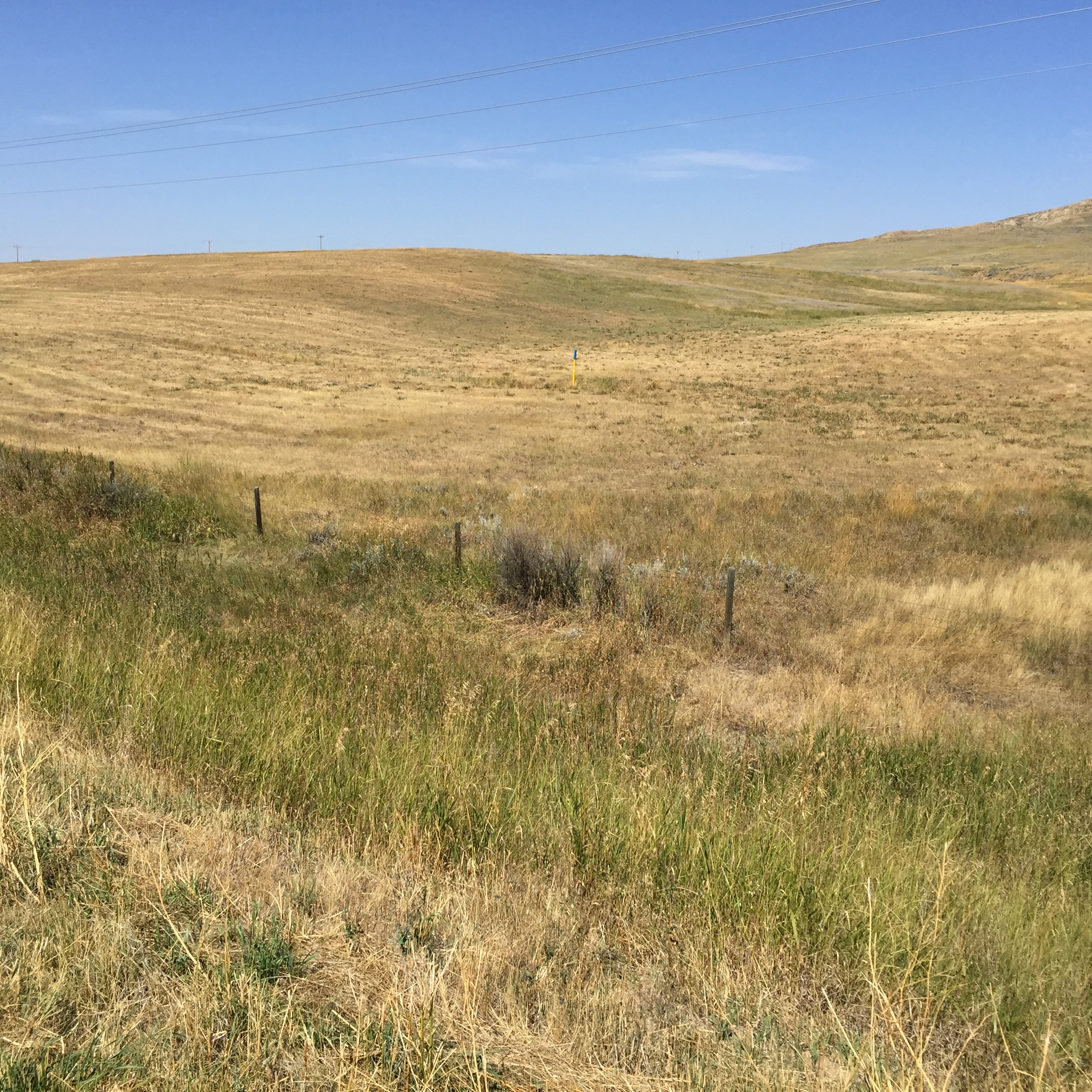
west of spotted horse wyoming
08-29-07 175053 0152 0420103844
08-29-07 175226 0164 0420103844
A Ten (Explore)
Old Man

First Winter Snow (Surprised)
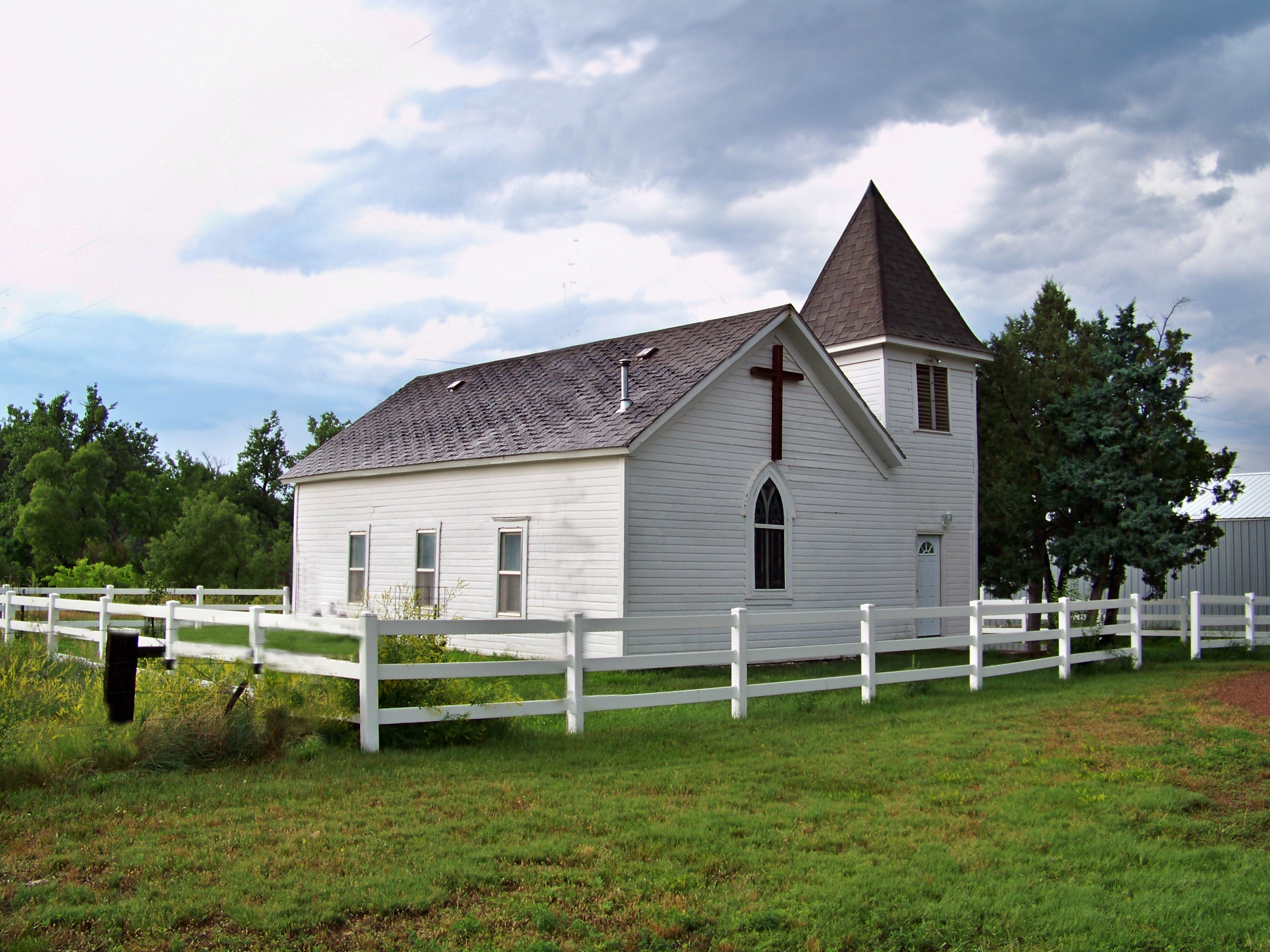
community church Birney Montana
Topographic Map of Arvada, WY, USA
Find elevation by address:

Places in Arvada, WY, USA:
Places near Arvada, WY, USA:
US-14, Arvada, WY, USA
New York Ave, Clearmont, WY, USA
Clearmont
1519 Tipperary Rd
US-14, Clearmont, WY, USA
Ulm Rd, Clearmont, WY, USA
33 Verona Rd, Banner, WY, USA
233 Dow Prong Rd
25 Franklin Ave
Lake De Smet
75 N Main St, Buffalo, WY, USA
Buffalo
Wyarno Rd, Sheridan, WY, USA
1133 Wy-50
State Hwy, Banner, WY, USA
Fort Phil Kearny Historic Site
528 Wagon Box Rd
Pleasantdale
Campbell County Road & Bridge
207 E 1st St
Recent Searches:
- Elevation of Corso Fratelli Cairoli, 35, Macerata MC, Italy
- Elevation of Tallevast Rd, Sarasota, FL, USA
- Elevation of 4th St E, Sonoma, CA, USA
- Elevation of Black Hollow Rd, Pennsdale, PA, USA
- Elevation of Oakland Ave, Williamsport, PA, USA
- Elevation of Pedrógão Grande, Portugal
- Elevation of Klee Dr, Martinsburg, WV, USA
- Elevation of Via Roma, Pieranica CR, Italy
- Elevation of Tavkvetili Mountain, Georgia
- Elevation of Hartfords Bluff Cir, Mt Pleasant, SC, USA