Elevation of - WY-59, Gillette, WY, USA
Location: United States > Wyoming > Campbell County > Wright >
Longitude: -105.47601
Latitude: 43.7686756
Elevation: 1524m / 5000feet
Barometric Pressure: 84KPa
Elevation Map:
Satellite Map:
Related Photos:

No. 5473 - Union Pacific - Wright, Wyo.

20190729-OSEC-LSC-0299

20190729-OSEC-LSC-0302

0016-02 USA Vacation, Wyoming, Wright, Services & Memorial Rear View

Please, Sir

North Antelope Mine | Powder River Basin | Wyoming

No. 5500 - Union Pacific - Wright, Wyo.
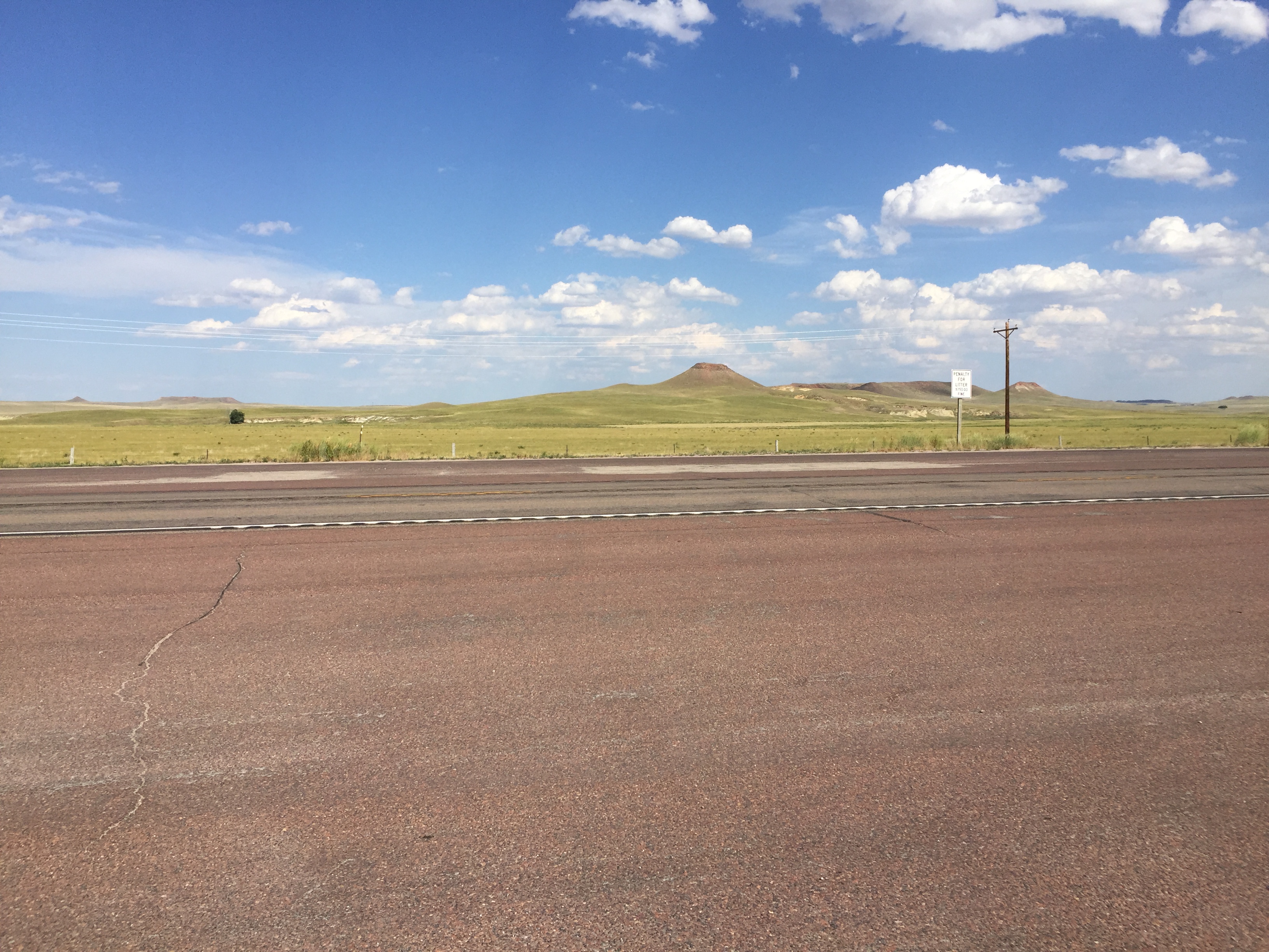
highway 59 gillette

Bison, Wright Wyoming
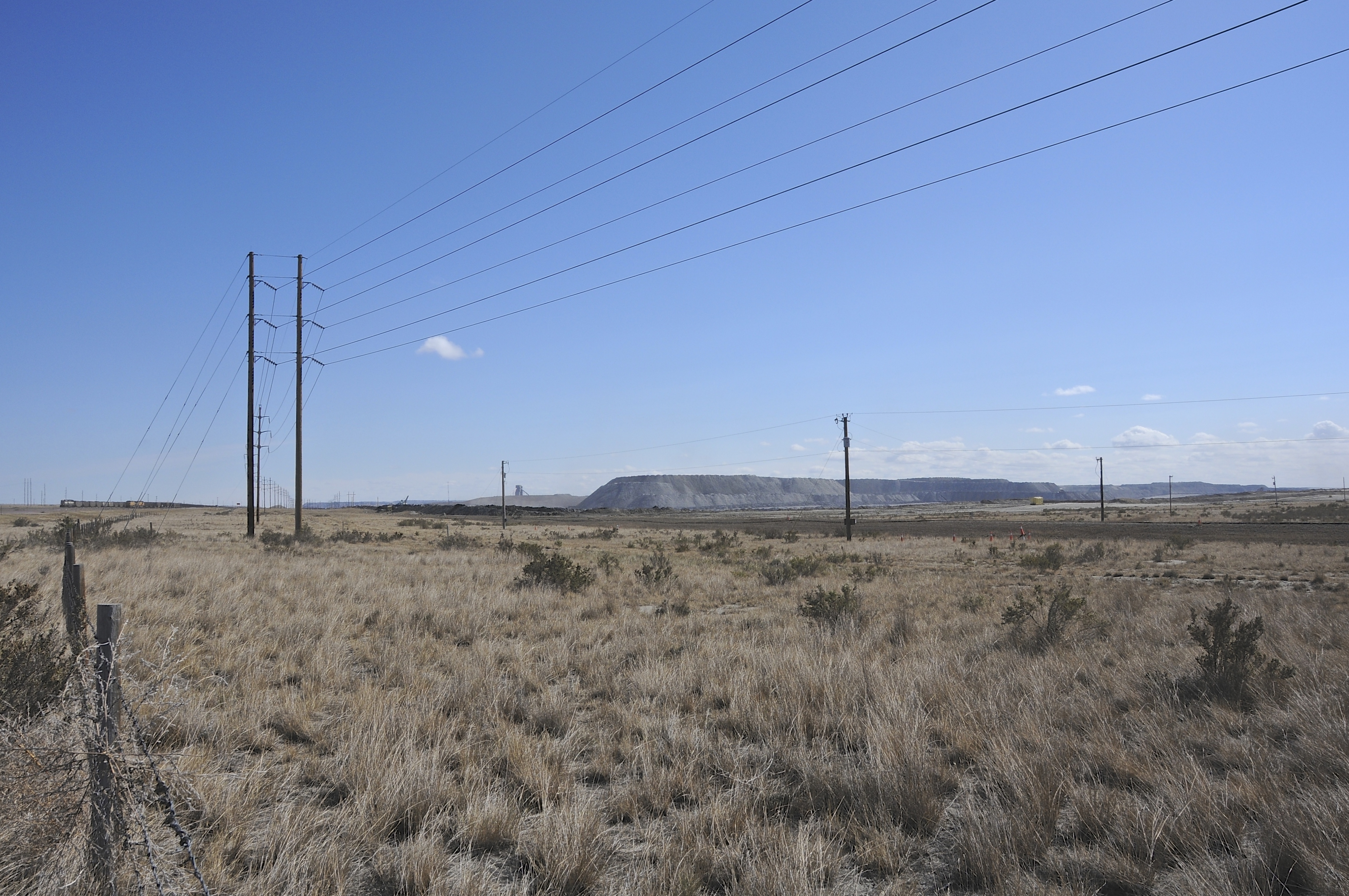
Black Thunder Coal Mine

Black Thunder

gillette wyoming
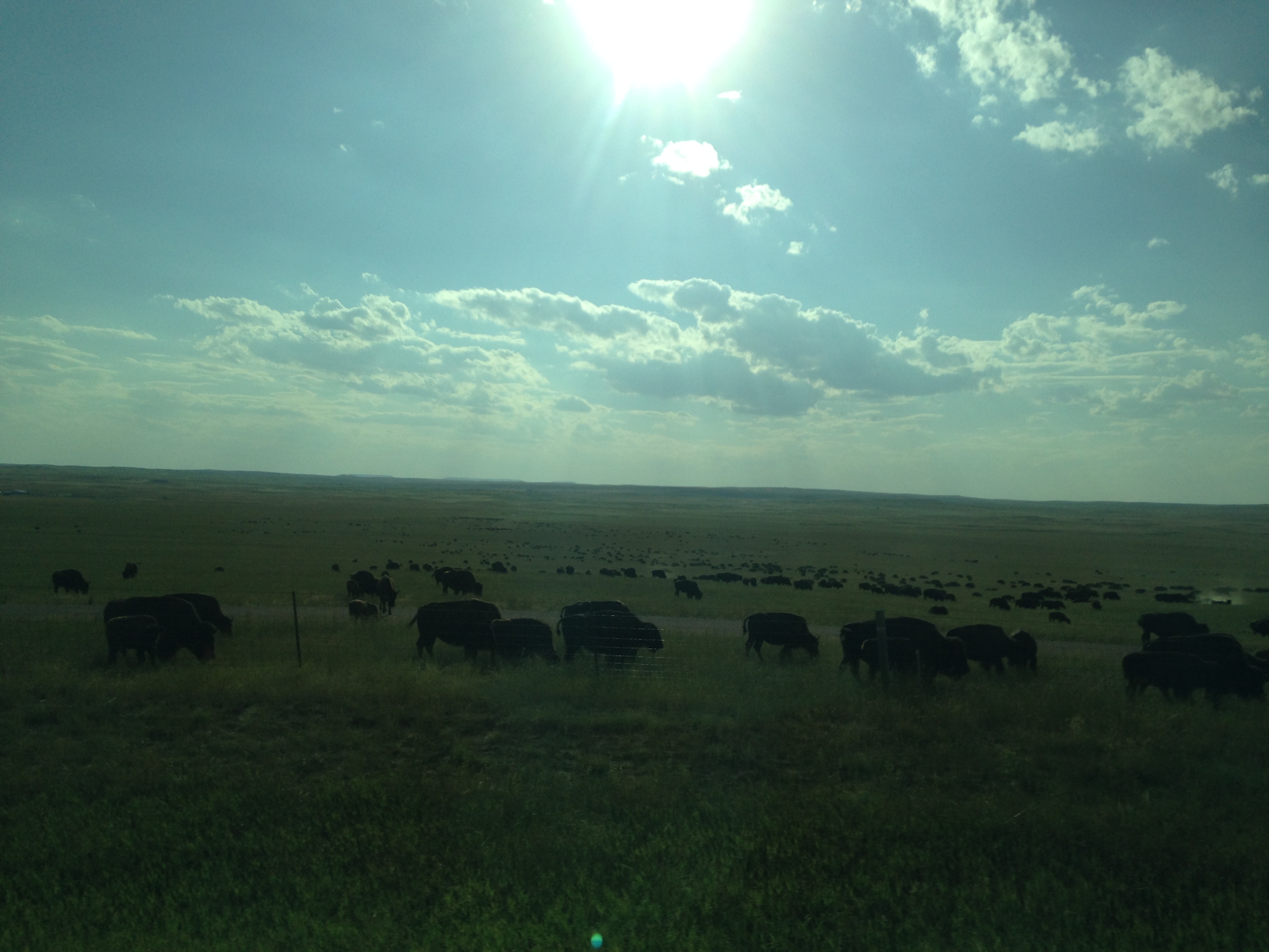
Wyoming buffalo

Wyoming buffalo

Wyoming buffalo

Landscape Wyoming

Wyoming landscape moon rising

Wyoming landscape moon rising

Wyoming landscape moon rising
Topographic Map of - WY-59, Gillette, WY, USA
Find elevation by address:

Places near - WY-59, Gillette, WY, USA:
7535 Wy-59
7568 Wy-59
Sundance Cir, Wright, WY, USA
Wright
Pleasantdale
1133 Wy-50
Antelope Valley-crestview
5122 Swanson Rd
617 Frontier Dr
Campbell County Road & Bridge
25 Franklin Ave
Gillette
207 E 1st St
910 N Gurley Ave
Sussex Rd, Kaycee, WY, USA
Johnson County
Arvada
1519 Tipperary Rd
1st St, Kaycee, WY, USA
261 Nolan Ave
Recent Searches:
- Elevation of Corso Fratelli Cairoli, 35, Macerata MC, Italy
- Elevation of Tallevast Rd, Sarasota, FL, USA
- Elevation of 4th St E, Sonoma, CA, USA
- Elevation of Black Hollow Rd, Pennsdale, PA, USA
- Elevation of Oakland Ave, Williamsport, PA, USA
- Elevation of Pedrógão Grande, Portugal
- Elevation of Klee Dr, Martinsburg, WV, USA
- Elevation of Via Roma, Pieranica CR, Italy
- Elevation of Tavkvetili Mountain, Georgia
- Elevation of Hartfords Bluff Cir, Mt Pleasant, SC, USA