Elevation of Summit Mountain, Nevada, USA
Location: United States > Nevada > Eureka >
Longitude: -116.46146
Latitude: 39.3765955
Elevation: 3114m / 10217feet
Barometric Pressure: 69KPa
Elevation Map:
Satellite Map:
Related Photos:
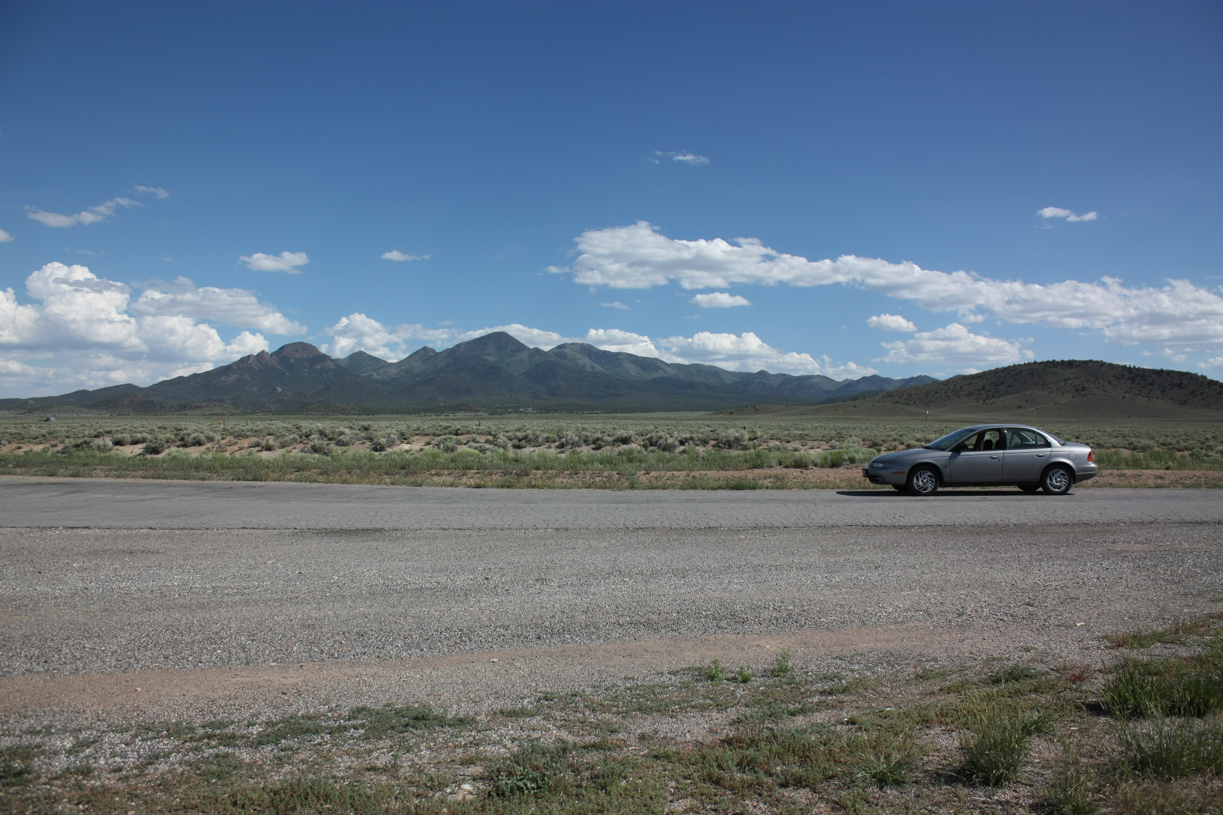
Yup - it really is lonely
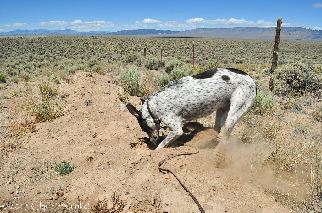
digging for silver?

Bald Mountain
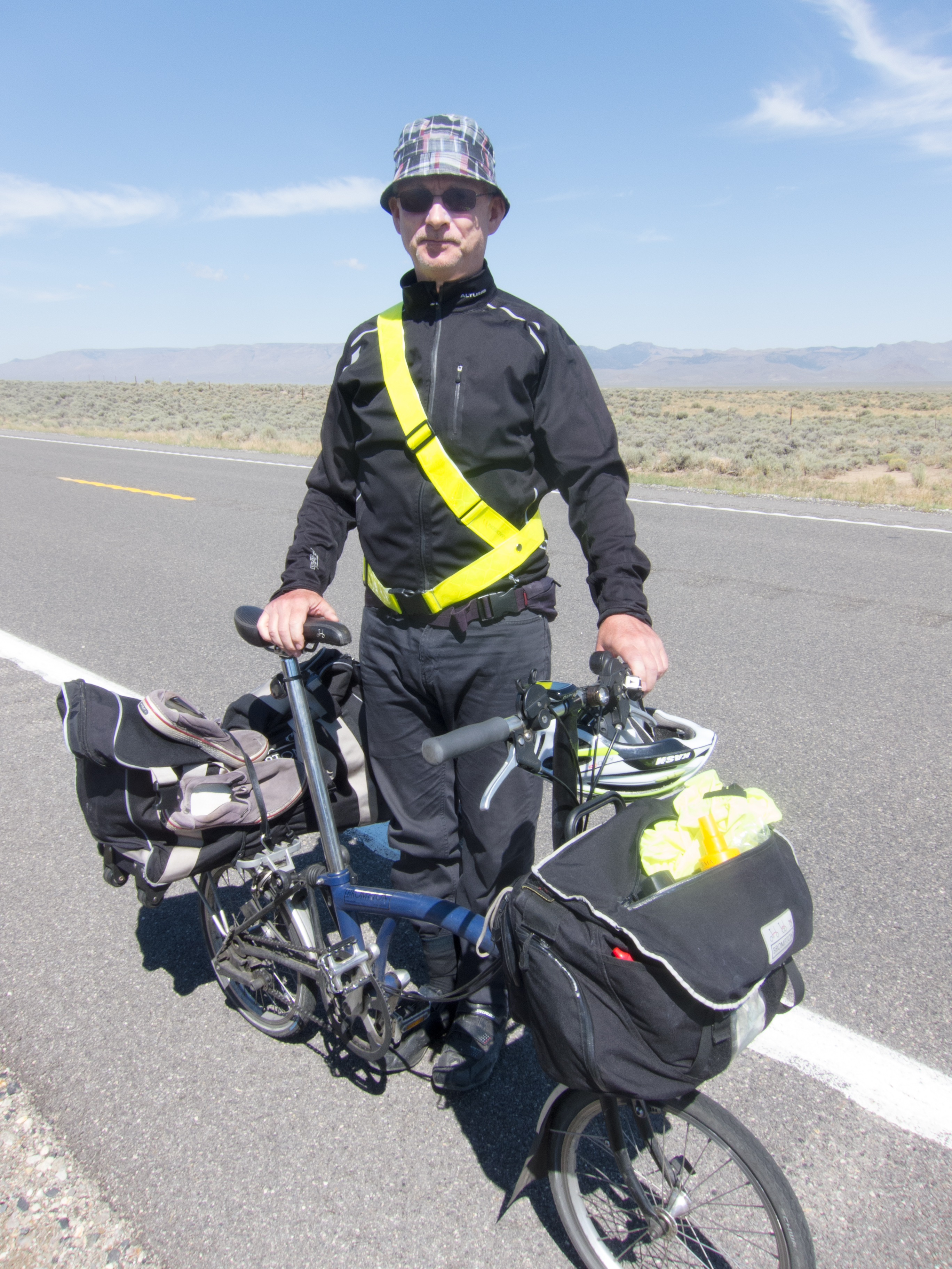
David & his Brompton
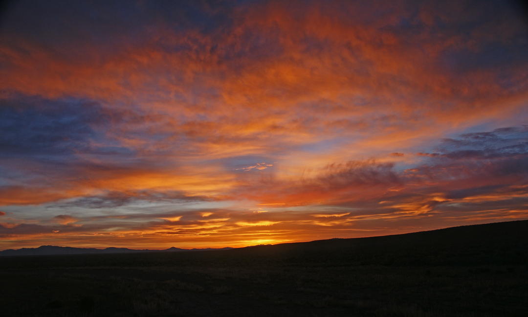
Nevada Sunrise 1
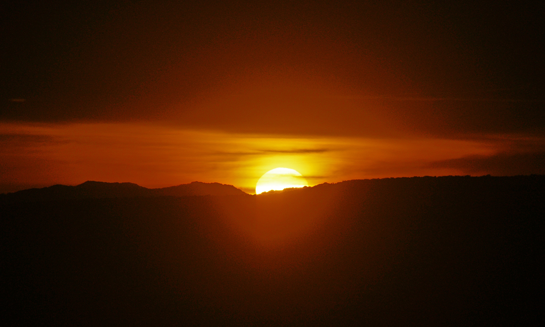
Nevada Sunrise 2
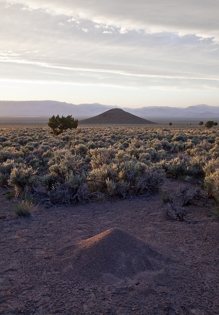
Kelly Creek Equivalent - Monitor Mts
Topographic Map of Summit Mountain, Nevada, USA
Find elevation by address:

Places near Summit Mountain, Nevada, USA:
Combs Peak
Devon Peak
Whistler Mountain
Prospect Peak
Mount Hope
Eureka County
Roberts Creek Mountain
Sundown Lodge
Eureka
Buck Mountain
Union Mountain
Dry Mountain
Coffin Mountain
Bailey Mountain
Alligator Ridge
Little Bald Mountain
Big Bald Mountain
Robinson Mountain
Sherman Mountain
Bunker Hill
Recent Searches:
- Elevation of Corso Fratelli Cairoli, 35, Macerata MC, Italy
- Elevation of Tallevast Rd, Sarasota, FL, USA
- Elevation of 4th St E, Sonoma, CA, USA
- Elevation of Black Hollow Rd, Pennsdale, PA, USA
- Elevation of Oakland Ave, Williamsport, PA, USA
- Elevation of Pedrógão Grande, Portugal
- Elevation of Klee Dr, Martinsburg, WV, USA
- Elevation of Via Roma, Pieranica CR, Italy
- Elevation of Tavkvetili Mountain, Georgia
- Elevation of Hartfords Bluff Cir, Mt Pleasant, SC, USA