Elevation map of Roberts Creek Mountain, Nevada, USA
Location: United States > Nevada > Eureka >
Longitude: -116.30923
Latitude: 39.8699232
Elevation: 3034m / 9954feet
Barometric Pressure: 70KPa
Elevation Map:
Satellite Map:
Related Photos:
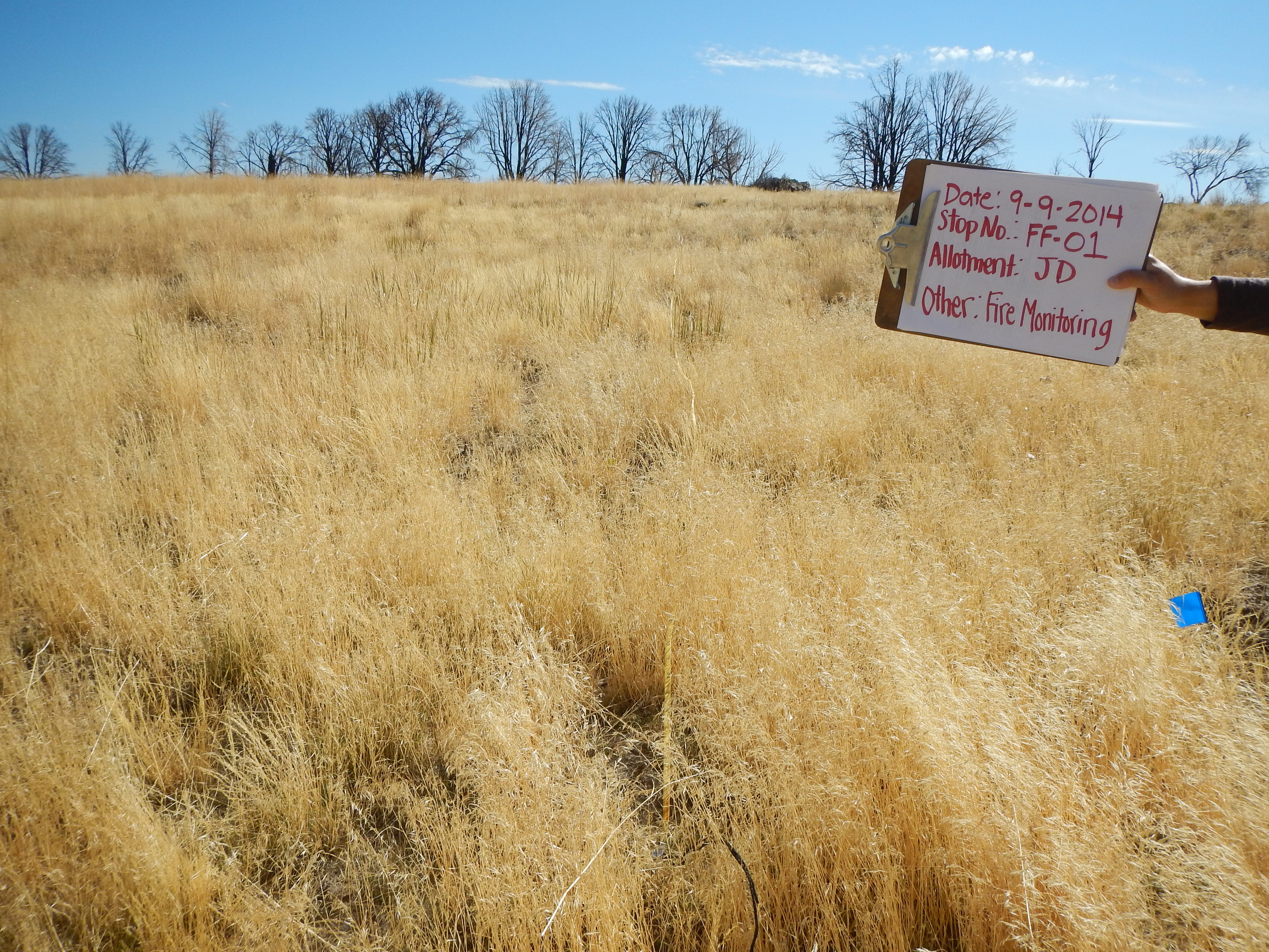
140909-bmdo-Frazier Fire Key Area 01
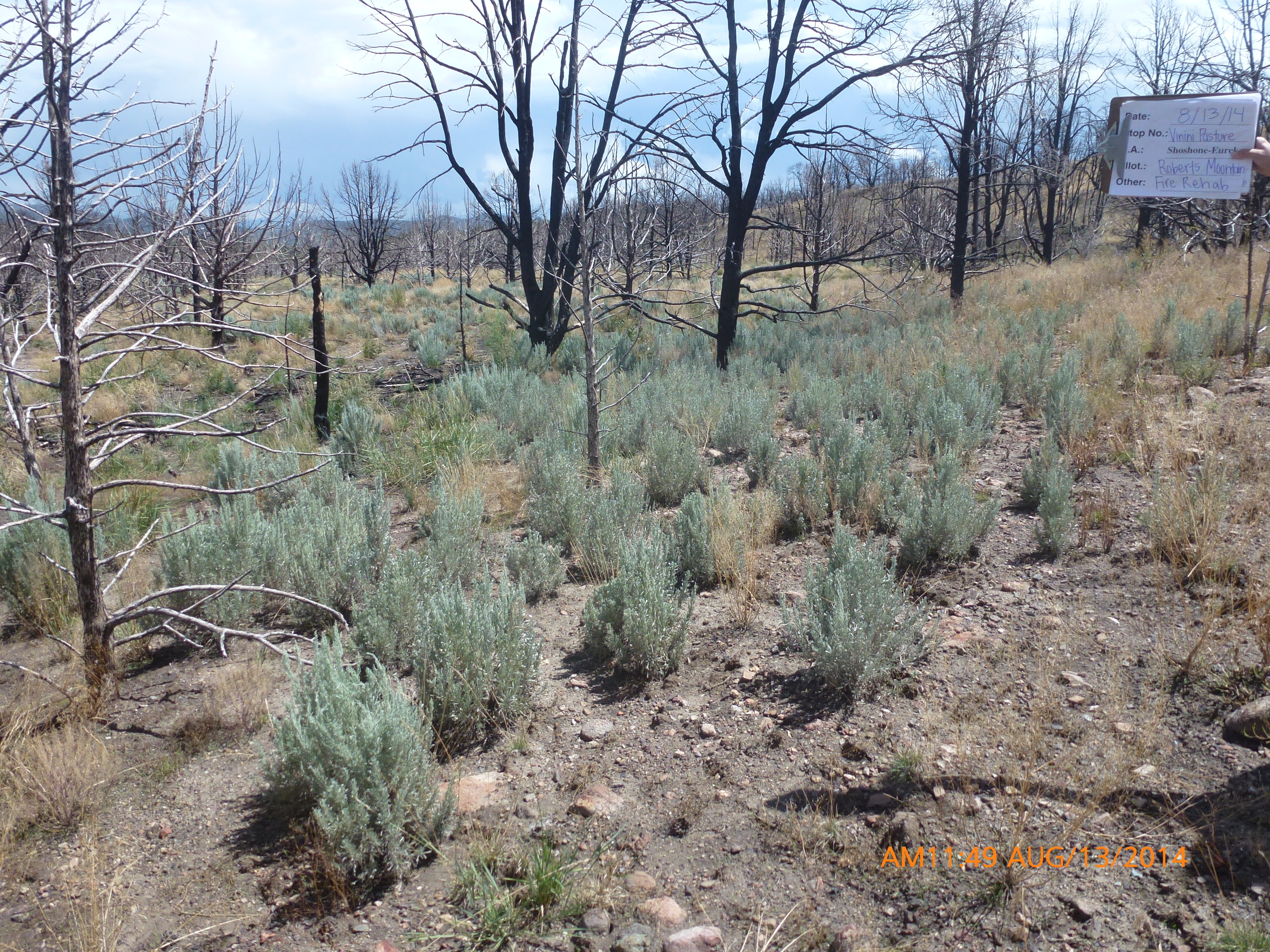
140813-bmdo-frazier-fire-Seeded Sagebrush Recruitment
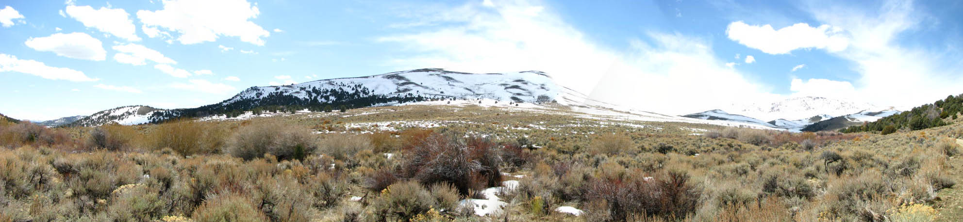
Vinini Creek

HIP_298992500.341356

HIP_298899749.571511
Topographic Map of Roberts Creek Mountain, Nevada, USA
Find elevation by address:

Places near Roberts Creek Mountain, Nevada, USA:
Mount Hope
Whistler Mountain
Devon Peak
Union Mountain
Combs Peak
Eureka County
Sundown Lodge
Eureka
Coffin Mountain
Summit Mountain
Bailey Mountain
Prospect Peak
Robinson Mountain
Bunker Hill
Buck Mountain
Big Bald Mountain
Little Bald Mountain
Sherman Mountain
Rattlesnake Mountain
Alligator Ridge
Recent Searches:
- Elevation of Corso Fratelli Cairoli, 35, Macerata MC, Italy
- Elevation of Tallevast Rd, Sarasota, FL, USA
- Elevation of 4th St E, Sonoma, CA, USA
- Elevation of Black Hollow Rd, Pennsdale, PA, USA
- Elevation of Oakland Ave, Williamsport, PA, USA
- Elevation of Pedrógão Grande, Portugal
- Elevation of Klee Dr, Martinsburg, WV, USA
- Elevation of Via Roma, Pieranica CR, Italy
- Elevation of Tavkvetili Mountain, Georgia
- Elevation of Hartfords Bluff Cir, Mt Pleasant, SC, USA