Elevation of Combs Peak, Nevada, USA
Location: United States > Nevada > Eureka County >
Longitude: -116.13506
Latitude: 39.42104
Elevation: 2561m / 8402feet
Barometric Pressure: 74KPa
Elevation Map:
Satellite Map:
Related Photos:
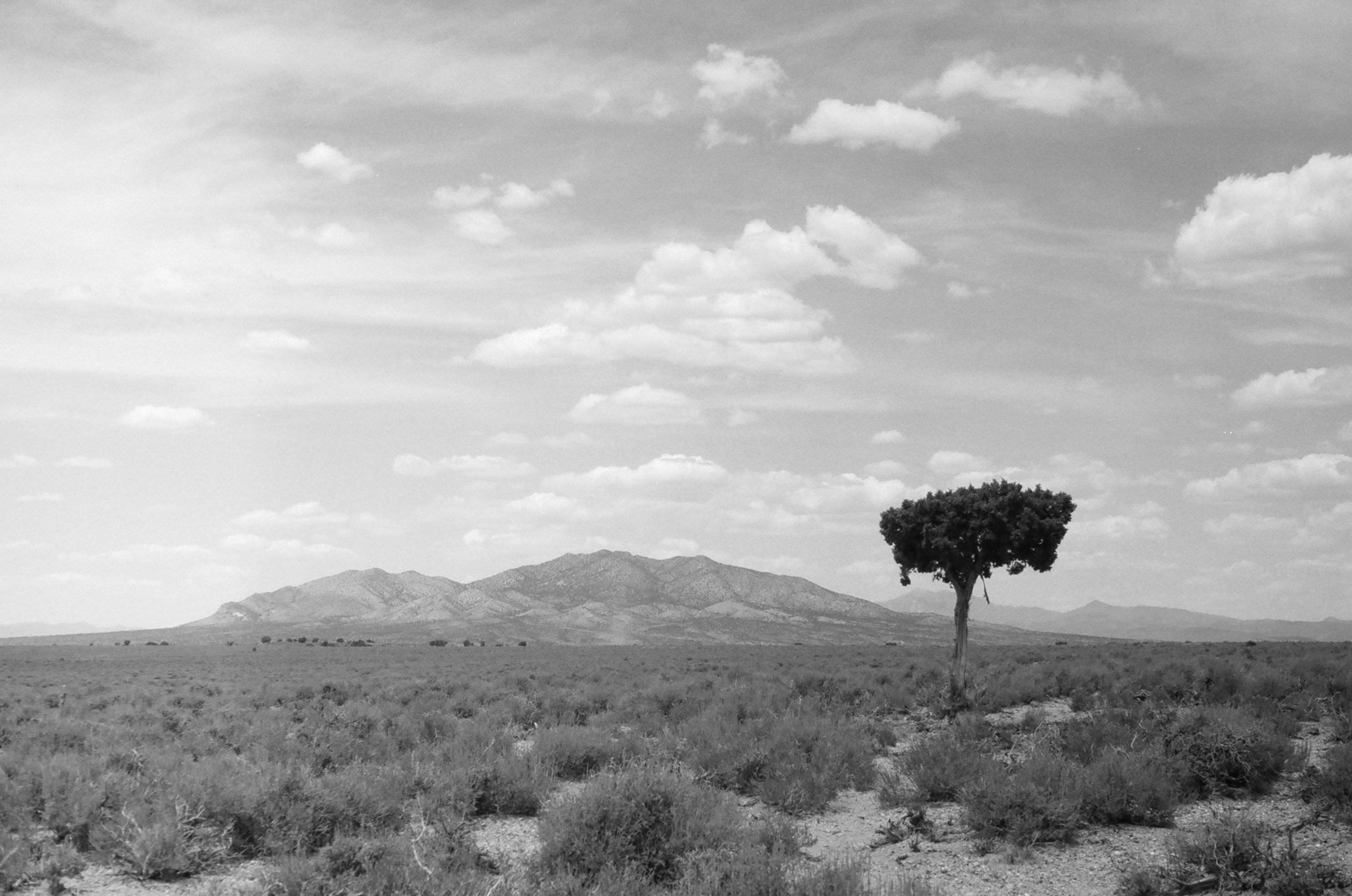
Lone Mountain Lone Tree
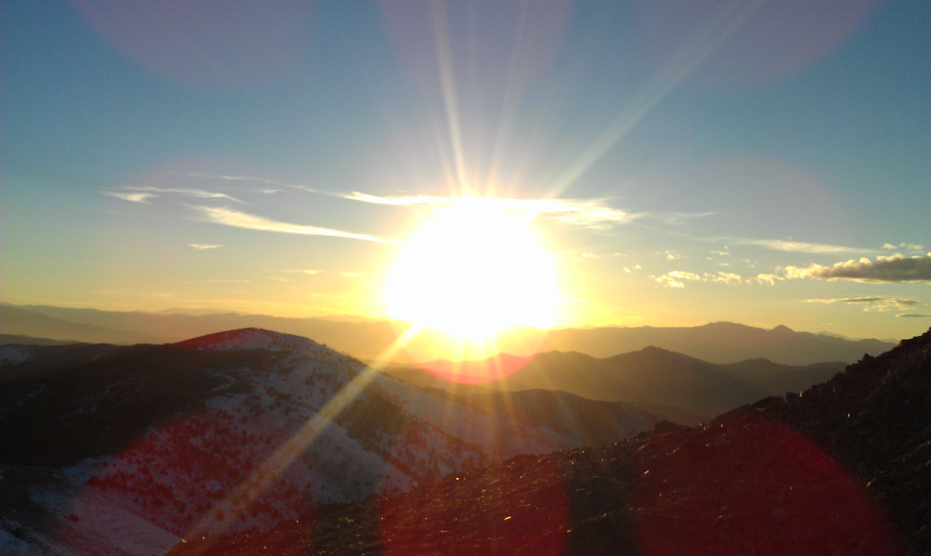
Prospect Peak
Dead Vine
Prospect Peak
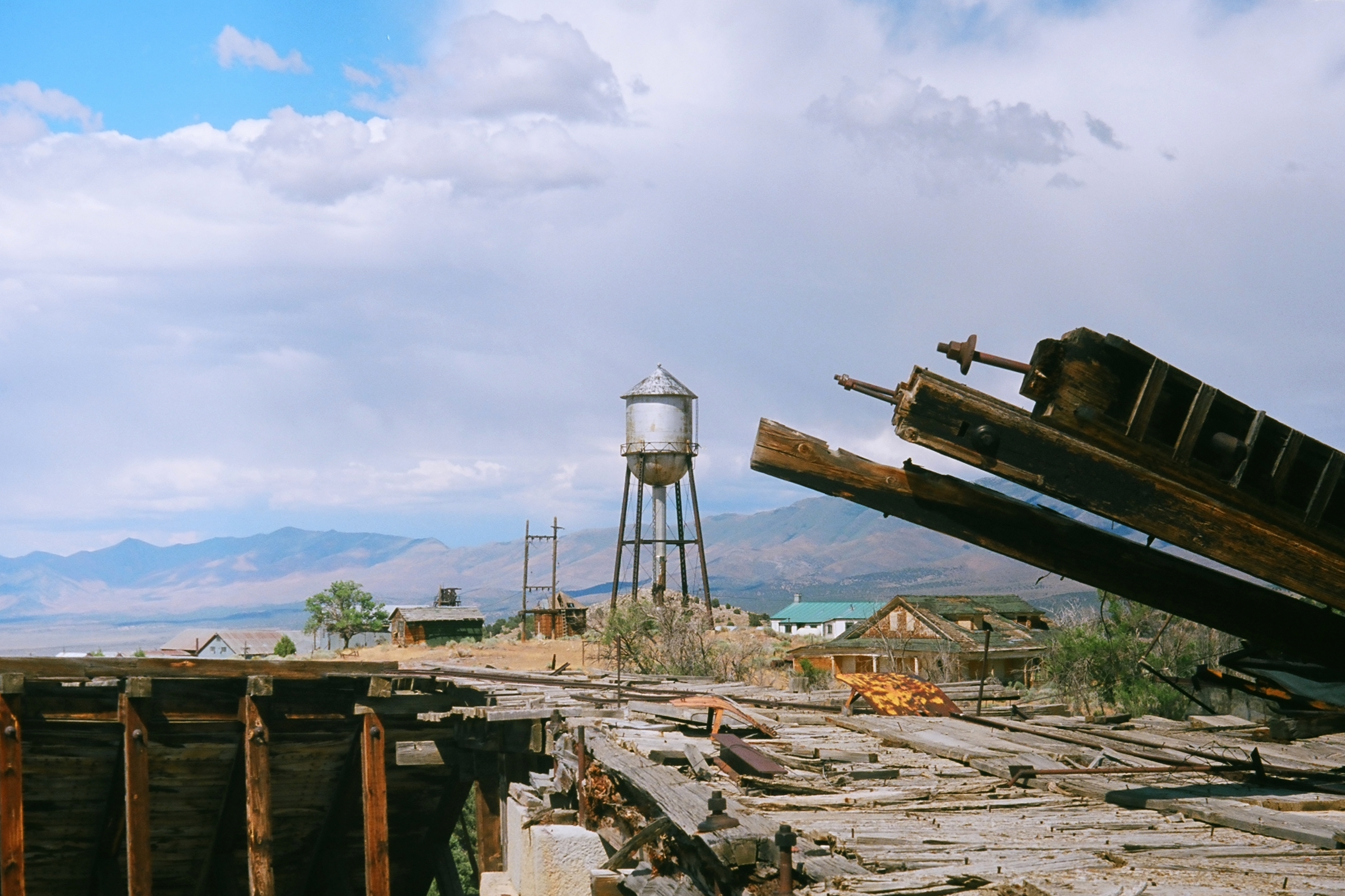
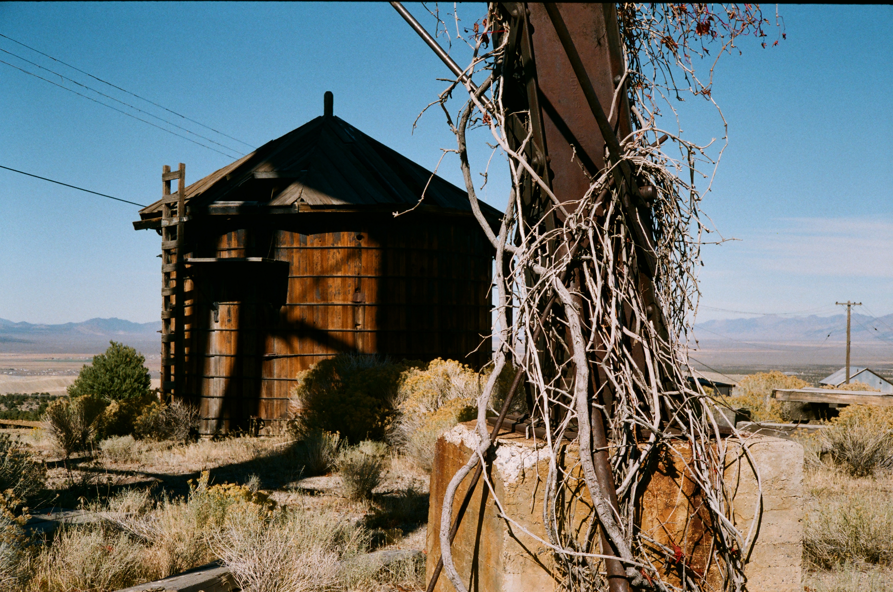
Water Tower at Ruby Hill Mine

Ruby Hill Mine Equipment
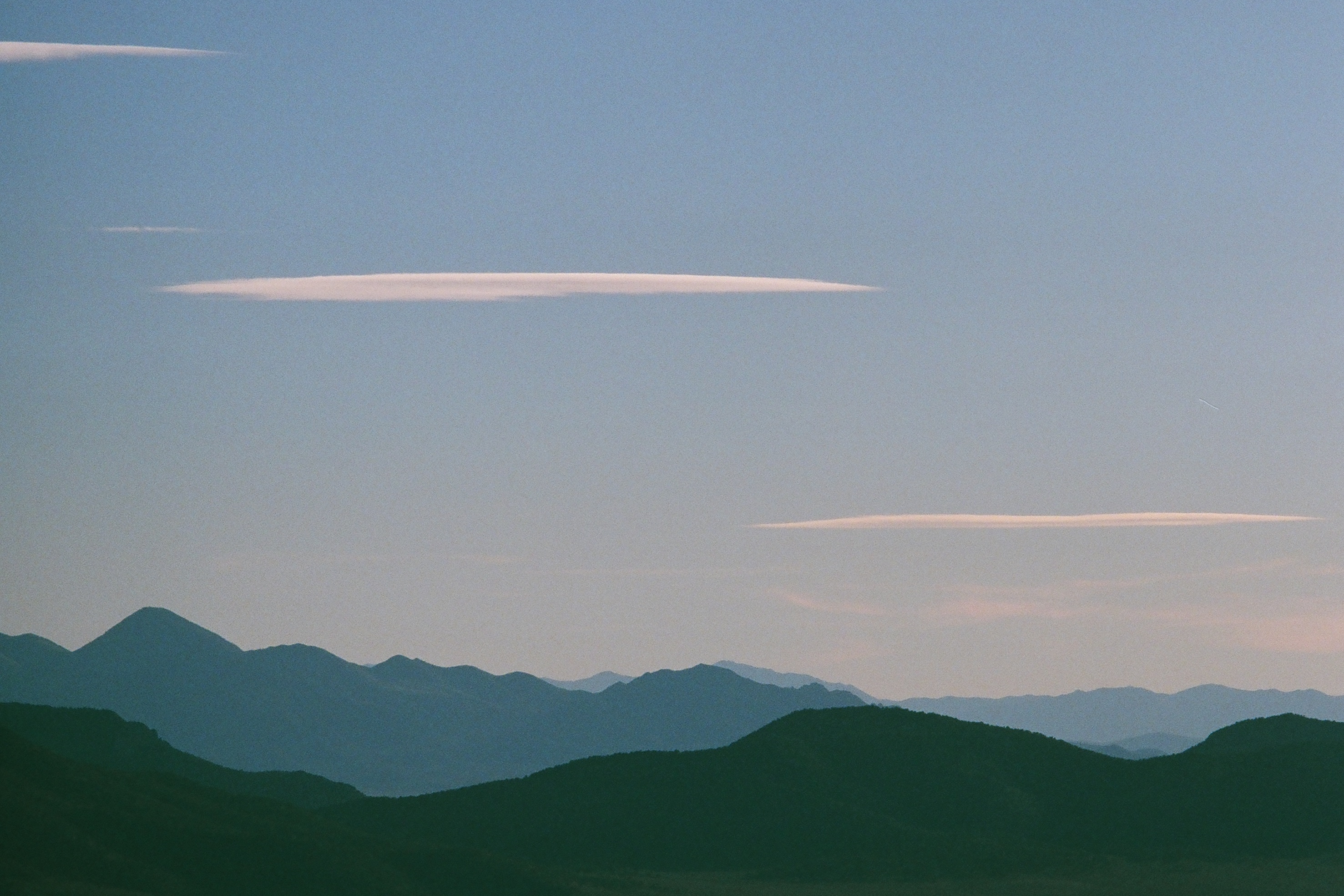
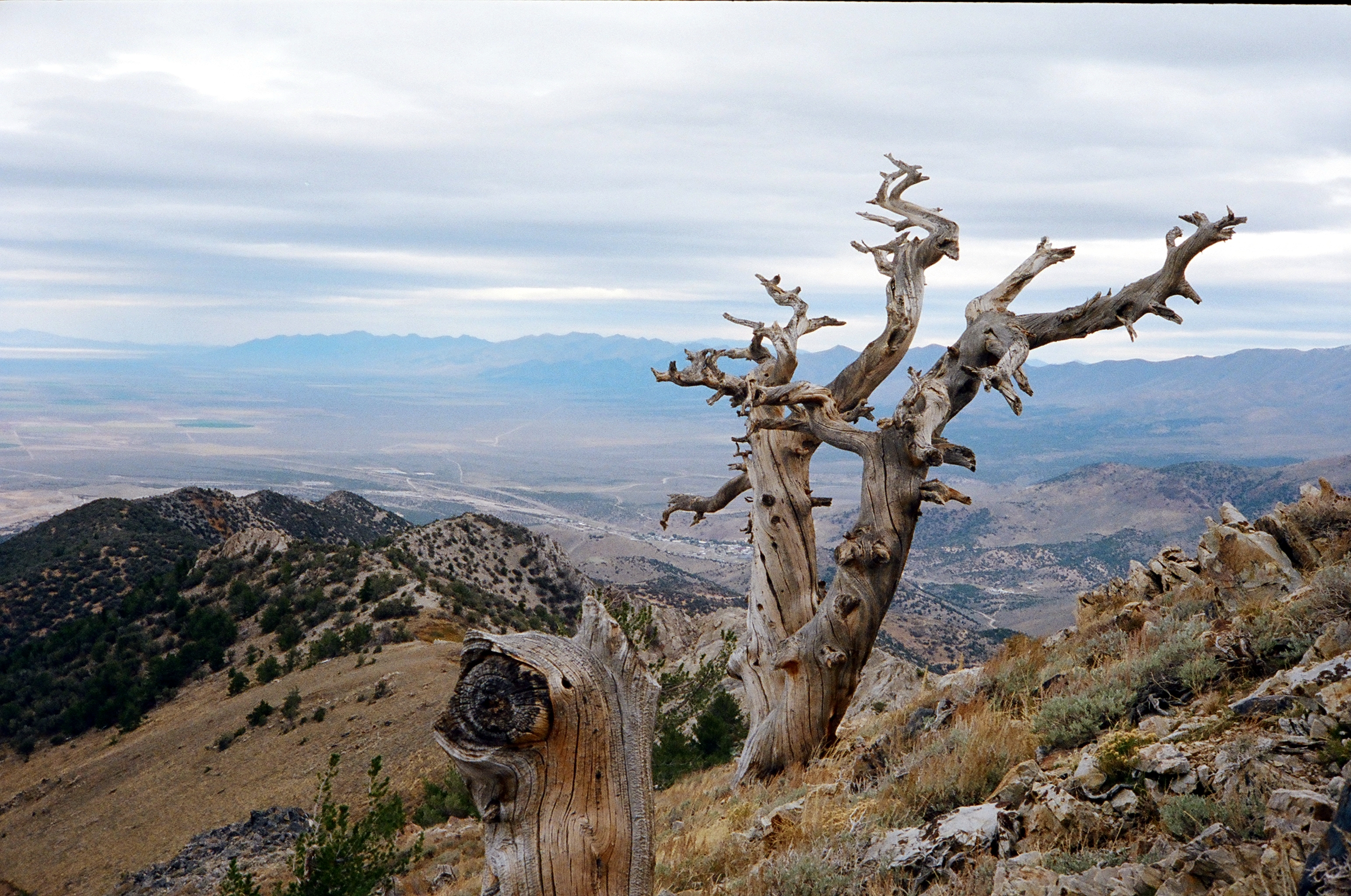
Mountain Silhouette

Ruby Hill Window
Topographic Map of Combs Peak, Nevada, USA
Find elevation by address:

Places near Combs Peak, Nevada, USA:
Devon Peak
Prospect Peak
Eureka County
Sundown Lodge
Eureka
Whistler Mountain
Summit Mountain
Mount Hope
Roberts Creek Mountain
Buck Mountain
Dry Mountain
Alligator Ridge
Little Bald Mountain
Union Mountain
Big Bald Mountain
Bailey Mountain
Coffin Mountain
Sherman Mountain
Cass House Peak
Rattlesnake Mountain
Recent Searches:
- Elevation of Corso Fratelli Cairoli, 35, Macerata MC, Italy
- Elevation of Tallevast Rd, Sarasota, FL, USA
- Elevation of 4th St E, Sonoma, CA, USA
- Elevation of Black Hollow Rd, Pennsdale, PA, USA
- Elevation of Oakland Ave, Williamsport, PA, USA
- Elevation of Pedrógão Grande, Portugal
- Elevation of Klee Dr, Martinsburg, WV, USA
- Elevation of Via Roma, Pieranica CR, Italy
- Elevation of Tavkvetili Mountain, Georgia
- Elevation of Hartfords Bluff Cir, Mt Pleasant, SC, USA