Elevation of Dry Mountain, Nevada, USA
Location: United States > Nevada > White Pine County >
Longitude: -115.51559
Latitude: 39.58382
Elevation: 2294m / 7526feet
Barometric Pressure: 77KPa
Elevation Map:
Satellite Map:
Related Photos:
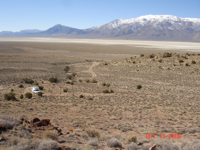
Newark Valley
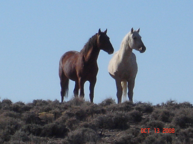
Wild Mustangs checking me out
Topographic Map of Dry Mountain, Nevada, USA
Find elevation by address:

Places near Dry Mountain, Nevada, USA:
Buck Mountain
Alligator Ridge
Little Bald Mountain
Big Bald Mountain
Eureka
Sundown Lodge
Eureka County
Prospect Peak
Sherman Mountain
Whistler Mountain
Devon Peak
Cass House Peak
Combs Peak
Rattlesnake Mountain
Mount Hope
Ruby Valley
Union Mountain
Bailey Mountain
Green Mountain
Tipton Peak
Recent Searches:
- Elevation of Corso Fratelli Cairoli, 35, Macerata MC, Italy
- Elevation of Tallevast Rd, Sarasota, FL, USA
- Elevation of 4th St E, Sonoma, CA, USA
- Elevation of Black Hollow Rd, Pennsdale, PA, USA
- Elevation of Oakland Ave, Williamsport, PA, USA
- Elevation of Pedrógão Grande, Portugal
- Elevation of Klee Dr, Martinsburg, WV, USA
- Elevation of Via Roma, Pieranica CR, Italy
- Elevation of Tavkvetili Mountain, Georgia
- Elevation of Hartfords Bluff Cir, Mt Pleasant, SC, USA