Elevation of Green Mountain, Nevada, USA
Location: United States > Nevada > Elko County > Spring Creek >
Longitude: -115.50671
Latitude: 40.3954849
Elevation: 3180m / 10433feet
Barometric Pressure: 69KPa
Elevation Map:
Satellite Map:
Related Photos:

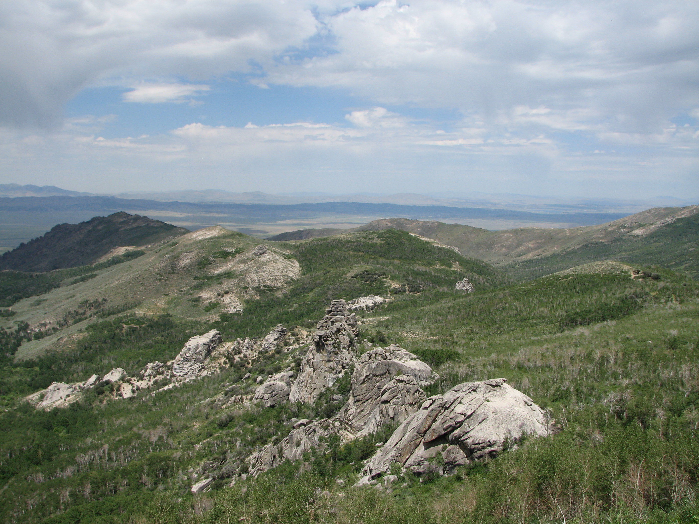
View Toward Harrison Pass
View Toward Mound Valley (2)
Topographic Map of Green Mountain, Nevada, USA
Find elevation by address:

Places near Green Mountain, Nevada, USA:
Tipton Peak
Ruby Valley
King Peak
Jiggs
Rattlesnake Mountain
Wines Peak
Lee
Cass House Peak
Lake Peak
Ruby Dome
Lee Peak
Sherman Mountain
Verdi Peak
700 Sustacha Dr
Smith Peak
447 Foxridge Dr
Lamoille
506 Palace Pkwy
Spring Creek
376 Blakeland Dr
Recent Searches:
- Elevation of Corso Fratelli Cairoli, 35, Macerata MC, Italy
- Elevation of Tallevast Rd, Sarasota, FL, USA
- Elevation of 4th St E, Sonoma, CA, USA
- Elevation of Black Hollow Rd, Pennsdale, PA, USA
- Elevation of Oakland Ave, Williamsport, PA, USA
- Elevation of Pedrógão Grande, Portugal
- Elevation of Klee Dr, Martinsburg, WV, USA
- Elevation of Via Roma, Pieranica CR, Italy
- Elevation of Tavkvetili Mountain, Georgia
- Elevation of Hartfords Bluff Cir, Mt Pleasant, SC, USA