Elevation of Storm Peak, Montana, USA
Location: United States > Montana > Glen >
Longitude: -112.85003
Latitude: 45.5635372
Elevation: 2888m / 9475feet
Barometric Pressure: 71KPa
Elevation Map:
Satellite Map:
Related Photos:
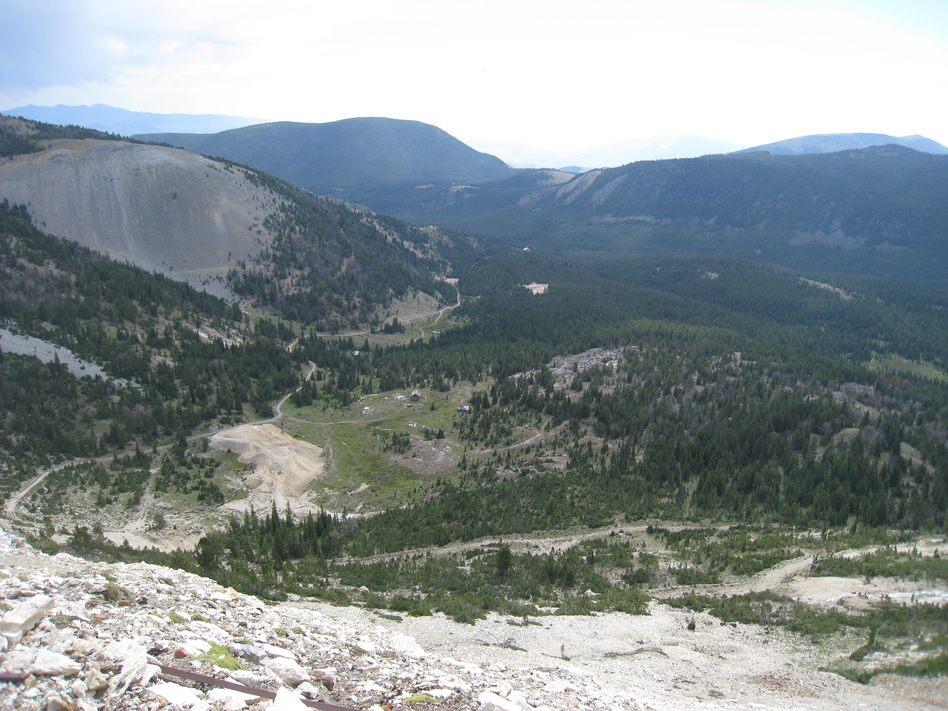
IMG_5986
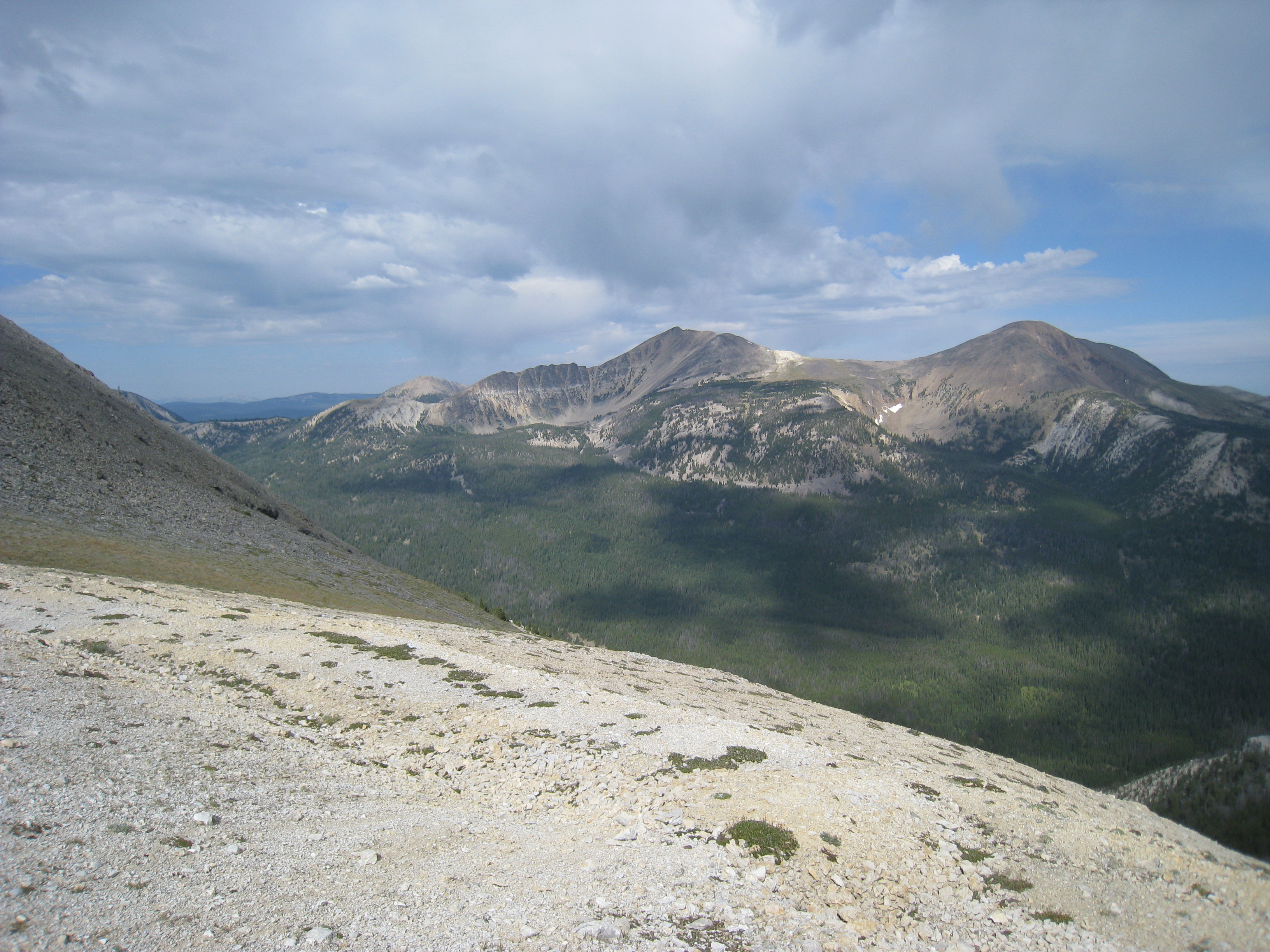
IMG_5977
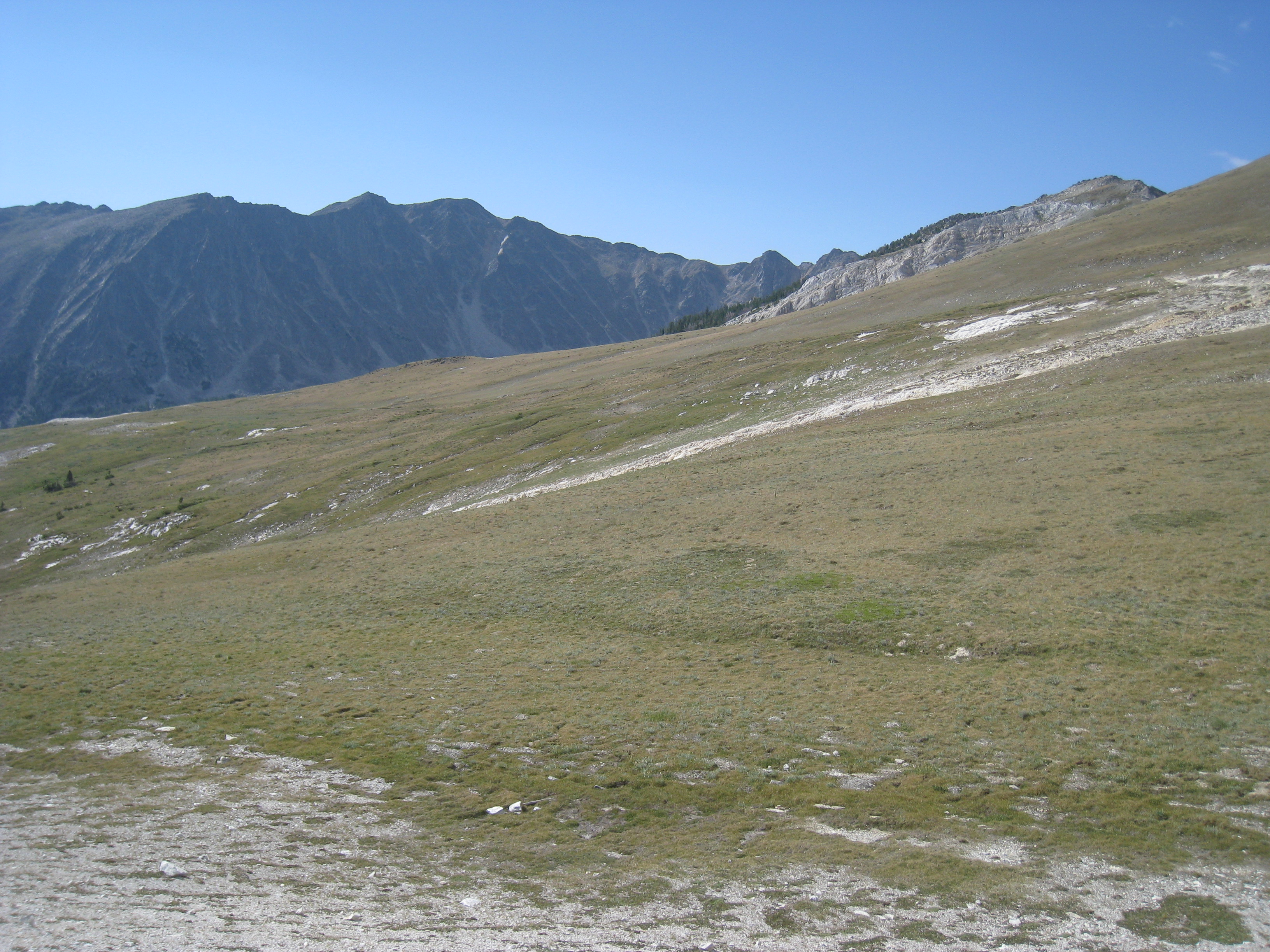
IMG_5976
Topographic Map of Storm Peak, Montana, USA
Find elevation by address:

Places near Storm Peak, Montana, USA:
Morrison Hill
Call Mountain
Sheriff Mountain
Twin Adams Mountain West
Barbour Hill
Twin Adams Mountain East
Mount Tahepia
Mount Alverson
Thunderhead Mountain
Aspen Campground
Greenstone Mountain
Black Lion Mountain
Torrey Mountain
Tower Mountain
Limestone Mountain
Melrose
Glen
Humbolt Mountain
Tent Mountain
Saddleback Mountain
Recent Searches:
- Elevation of Corso Fratelli Cairoli, 35, Macerata MC, Italy
- Elevation of Tallevast Rd, Sarasota, FL, USA
- Elevation of 4th St E, Sonoma, CA, USA
- Elevation of Black Hollow Rd, Pennsdale, PA, USA
- Elevation of Oakland Ave, Williamsport, PA, USA
- Elevation of Pedrógão Grande, Portugal
- Elevation of Klee Dr, Martinsburg, WV, USA
- Elevation of Via Roma, Pieranica CR, Italy
- Elevation of Tavkvetili Mountain, Georgia
- Elevation of Hartfords Bluff Cir, Mt Pleasant, SC, USA