Elevation of Call Mountain, Montana, USA
Location: United States > Montana > Beaverhead County > Polaris >
Longitude: -112.86114
Latitude: 45.4935372
Elevation: 2708m / 8884feet
Barometric Pressure: 73KPa
Elevation Map:
Satellite Map:
Related Photos:
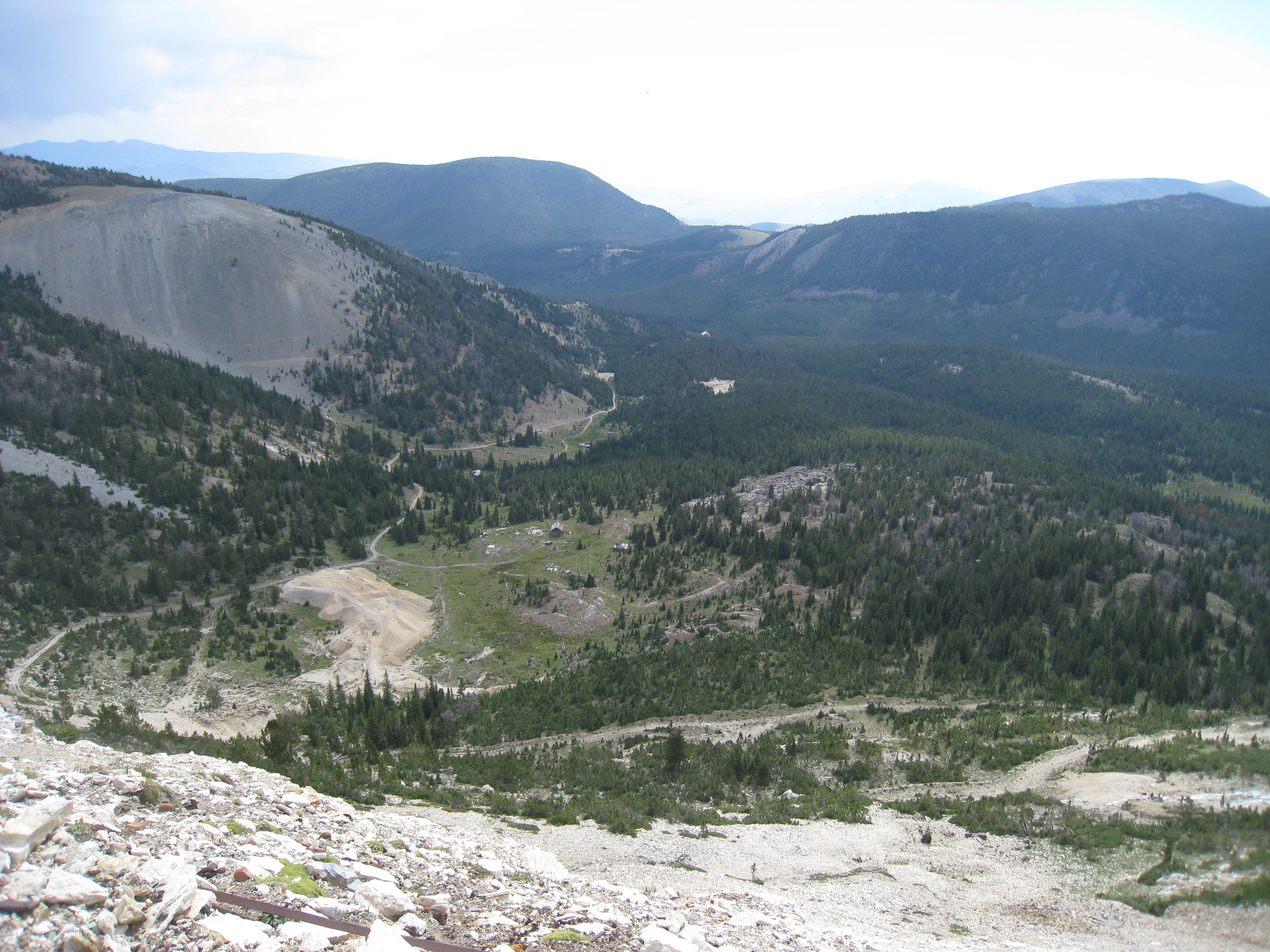
IMG_5986
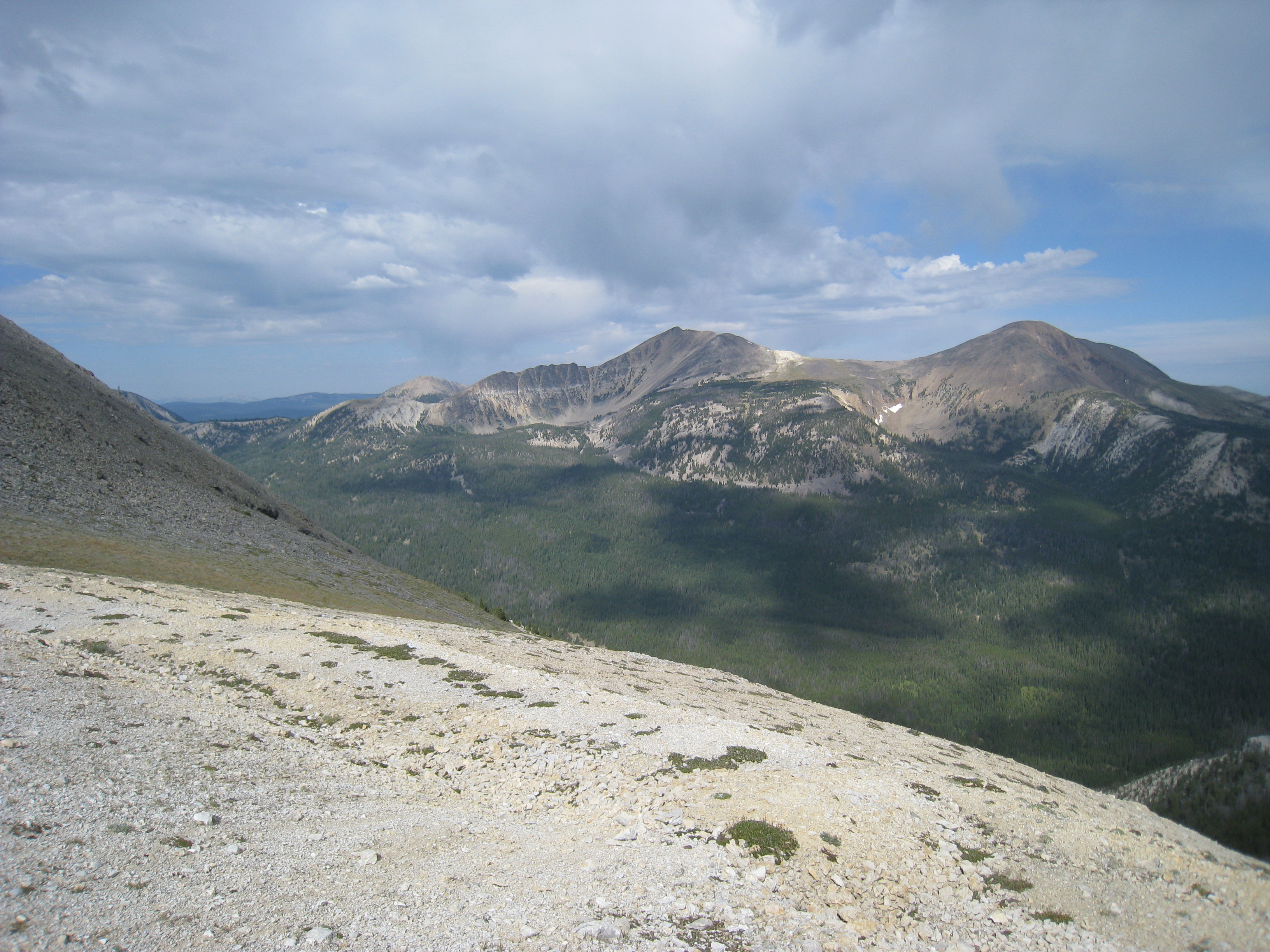
IMG_5977
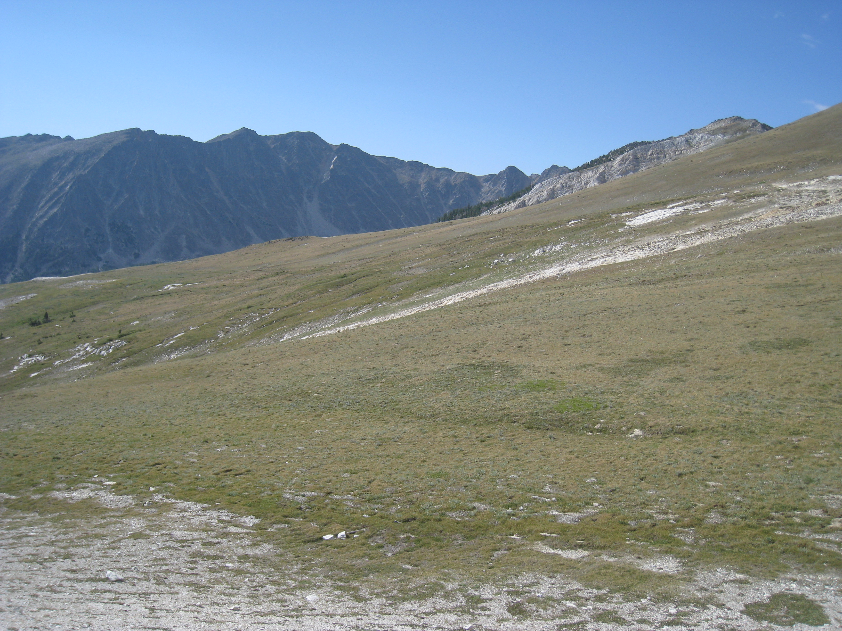
IMG_5976
Topographic Map of Call Mountain, Montana, USA
Find elevation by address:

Places near Call Mountain, Montana, USA:
Aspen Campground
Tower Mountain
Torrey Mountain
Humbolt Mountain
Tent Mountain
Highboy Mountain
Saddleback Mountain
Alturas No. 2 Mountain
Comet Mountain
Alturas No. 1 Mountain
Crystal Park
350 Aspen View Rd
504 Sawtooth Rd
Elkhorn Hot Springs
Elkhorn Hot Springs
9277 Pioneer Mountains Scenic Byway
9277 Pioneer Mountains Scenic Byway
Polaris
Seymore Mountain
340 Miracle Mountain Dr
Recent Searches:
- Elevation of Corso Fratelli Cairoli, 35, Macerata MC, Italy
- Elevation of Tallevast Rd, Sarasota, FL, USA
- Elevation of 4th St E, Sonoma, CA, USA
- Elevation of Black Hollow Rd, Pennsdale, PA, USA
- Elevation of Oakland Ave, Williamsport, PA, USA
- Elevation of Pedrógão Grande, Portugal
- Elevation of Klee Dr, Martinsburg, WV, USA
- Elevation of Via Roma, Pieranica CR, Italy
- Elevation of Tavkvetili Mountain, Georgia
- Elevation of Hartfords Bluff Cir, Mt Pleasant, SC, USA