Elevation of Barbour Hill, Wise River, MT, USA
Location: United States > Montana > Beaverhead County > Wise River >
Longitude: -112.95059
Latitude: 45.5871477
Elevation: 2966m / 9731feet
Barometric Pressure: 70KPa
Elevation Map:
Satellite Map:
Related Photos:
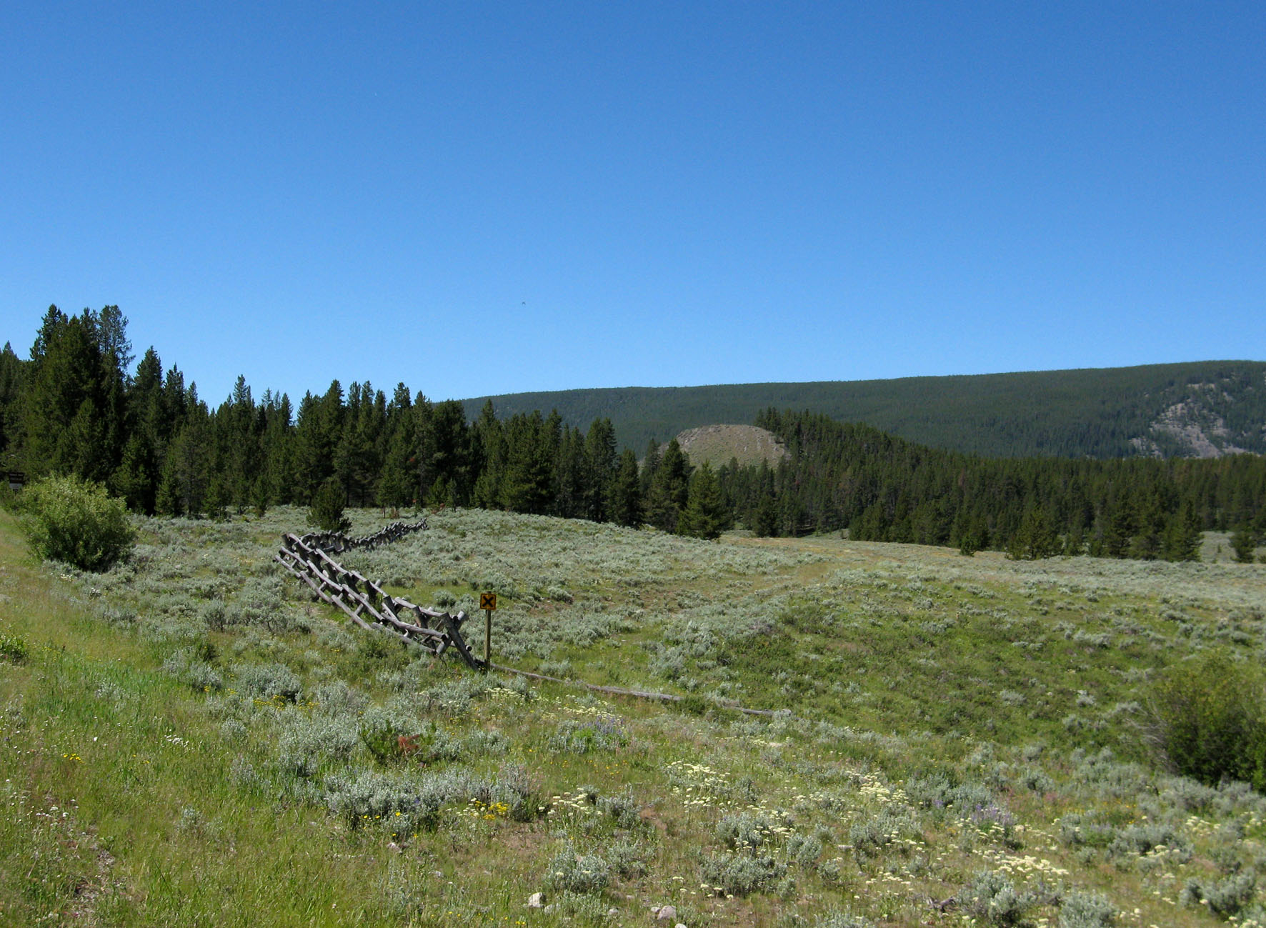
Pioneer Mountains National Scenic Byway (3) - Montana
Topographic Map of Barbour Hill, Wise River, MT, USA
Find elevation by address:

Places near Barbour Hill, Wise River, MT, USA:
Sheriff Mountain
Mount Tahepia
Black Lion Mountain
Mount Alverson
Morrison Hill
Storm Peak
Call Mountain
Torrey Mountain
Pioneer Mountains Scenic Byway
Saddleback Mountain
Comet Mountain
Highboy Mountain
Tent Mountain
Crystal Park
Twin Adams Mountain West
Lacy Creek Road
Aspen Campground
Twin Adams Mountain East
Tower Mountain
Thunderhead Mountain
Recent Searches:
- Elevation of Corso Fratelli Cairoli, 35, Macerata MC, Italy
- Elevation of Tallevast Rd, Sarasota, FL, USA
- Elevation of 4th St E, Sonoma, CA, USA
- Elevation of Black Hollow Rd, Pennsdale, PA, USA
- Elevation of Oakland Ave, Williamsport, PA, USA
- Elevation of Pedrógão Grande, Portugal
- Elevation of Klee Dr, Martinsburg, WV, USA
- Elevation of Via Roma, Pieranica CR, Italy
- Elevation of Tavkvetili Mountain, Georgia
- Elevation of Hartfords Bluff Cir, Mt Pleasant, SC, USA