Elevation of Sheriff Mountain, Wise River, MT, USA
Location: United States > Montana > Beaverhead County > Wise River >
Longitude: -112.93364
Latitude: 45.610759
Elevation: 2984m / 9790feet
Barometric Pressure: 70KPa
Elevation Map:
Satellite Map:
Related Photos:
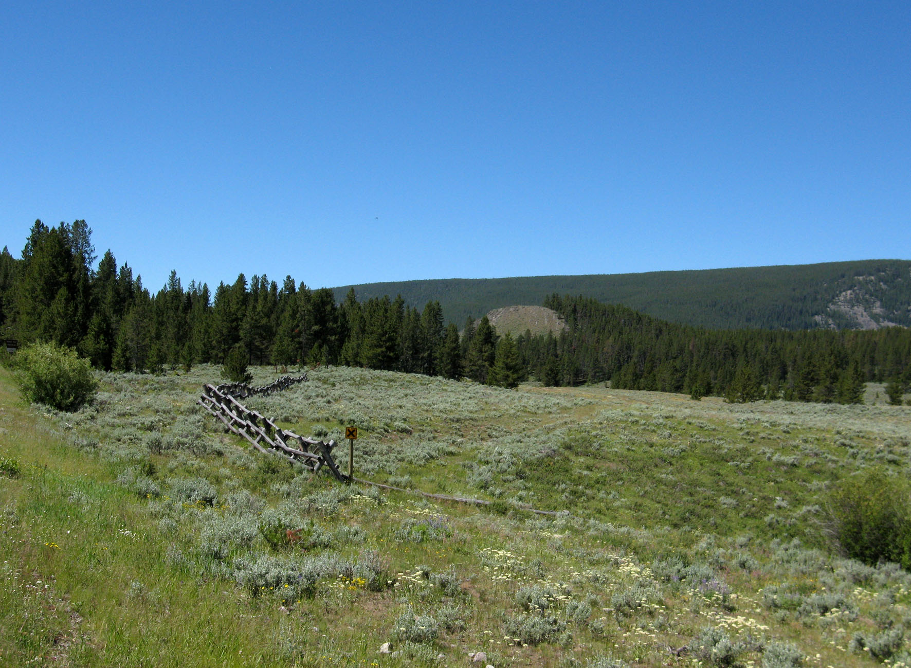
Pioneer Mountains National Scenic Byway (3) - Montana
Topographic Map of Sheriff Mountain, Wise River, MT, USA
Find elevation by address:

Places near Sheriff Mountain, Wise River, MT, USA:
Barbour Hill
Black Lion Mountain
Morrison Hill
Mount Tahepia
Mount Alverson
Storm Peak
Call Mountain
Pioneer Mountains Scenic Byway
Torrey Mountain
Saddleback Mountain
65221 Mt-43
Wise River
Comet Mountain
Twin Adams Mountain West
Twin Adams Mountain East
Lacy Creek Road
Tent Mountain
Highboy Mountain
Thunderhead Mountain
Aspen Campground
Recent Searches:
- Elevation of Corso Fratelli Cairoli, 35, Macerata MC, Italy
- Elevation of Tallevast Rd, Sarasota, FL, USA
- Elevation of 4th St E, Sonoma, CA, USA
- Elevation of Black Hollow Rd, Pennsdale, PA, USA
- Elevation of Oakland Ave, Williamsport, PA, USA
- Elevation of Pedrógão Grande, Portugal
- Elevation of Klee Dr, Martinsburg, WV, USA
- Elevation of Via Roma, Pieranica CR, Italy
- Elevation of Tavkvetili Mountain, Georgia
- Elevation of Hartfords Bluff Cir, Mt Pleasant, SC, USA