Elevation of Stonehaven, NB E2A, Canada
Location: Canada > New Brunswick > Gloucester County > New Bandon >
Longitude: -65.364047
Latitude: 47.747883
Elevation: 14m / 46feet
Barometric Pressure: 101KPa
Elevation Map:
Satellite Map:
Related Photos:
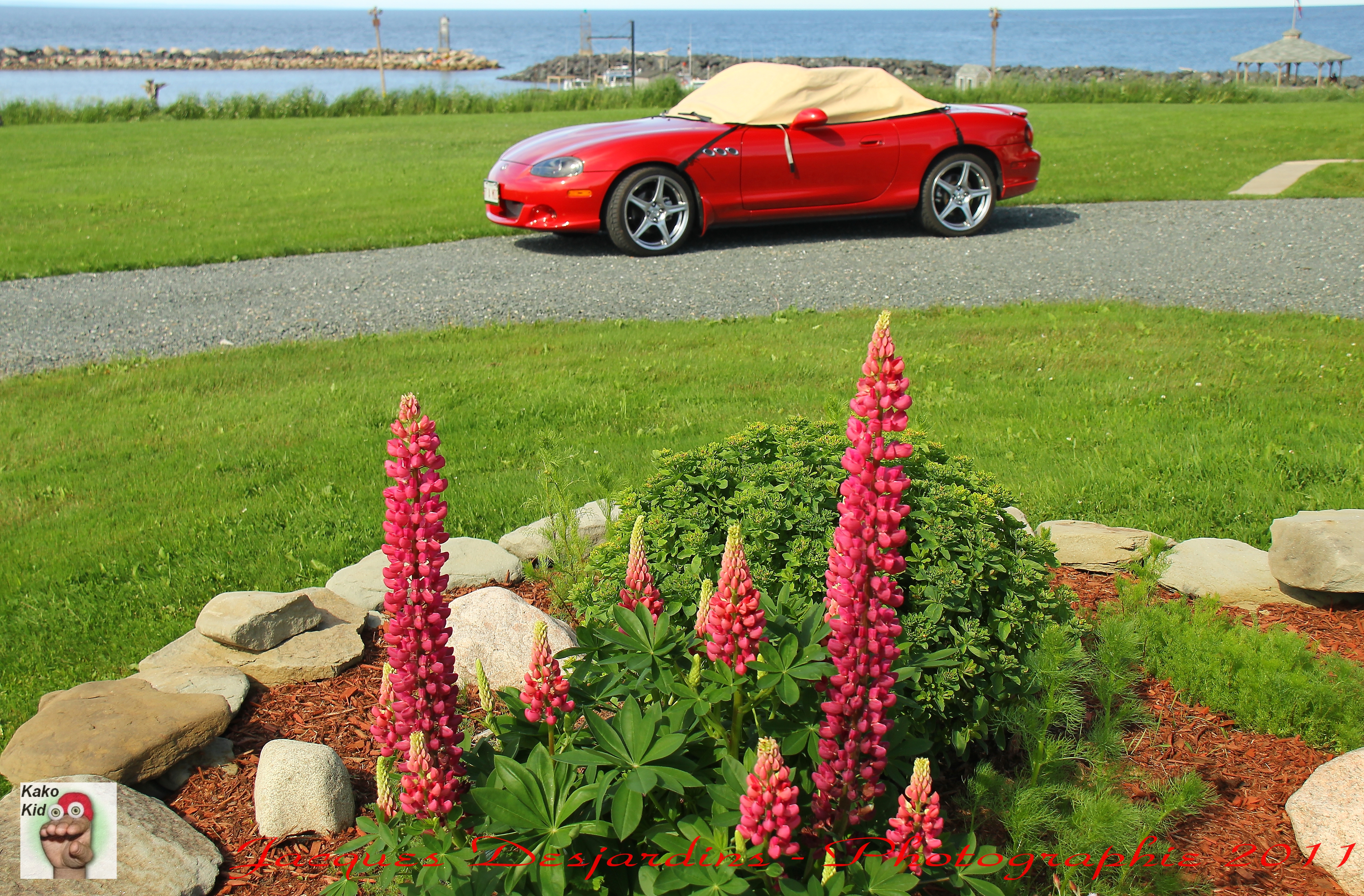
Lupins,Mazdaspeed,Grande Anse
"nest"
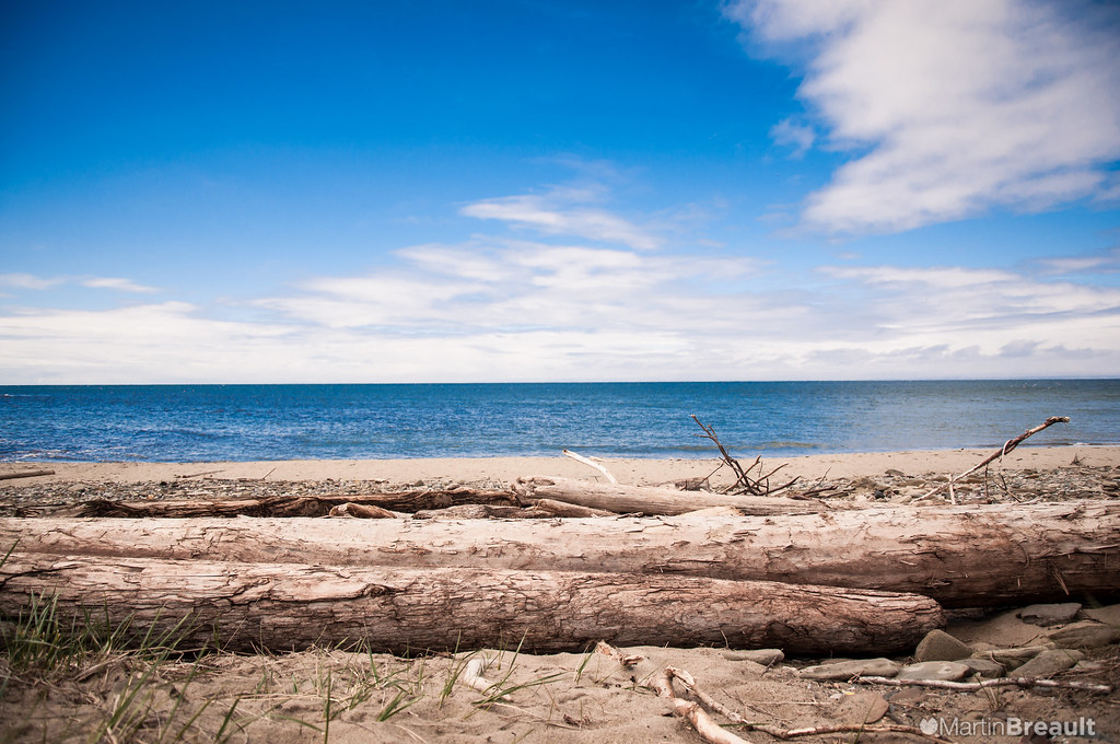
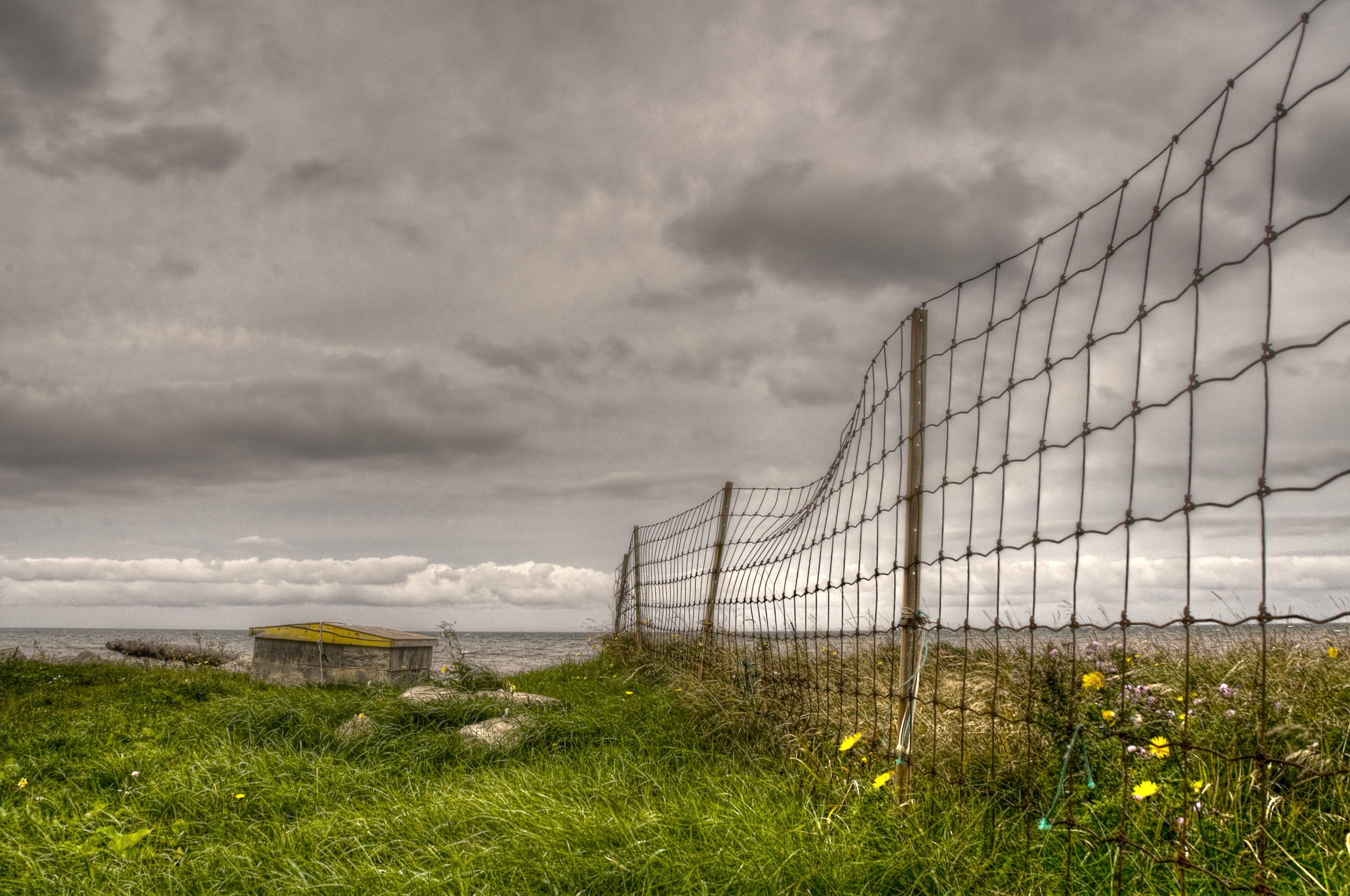
Horizontal Beach
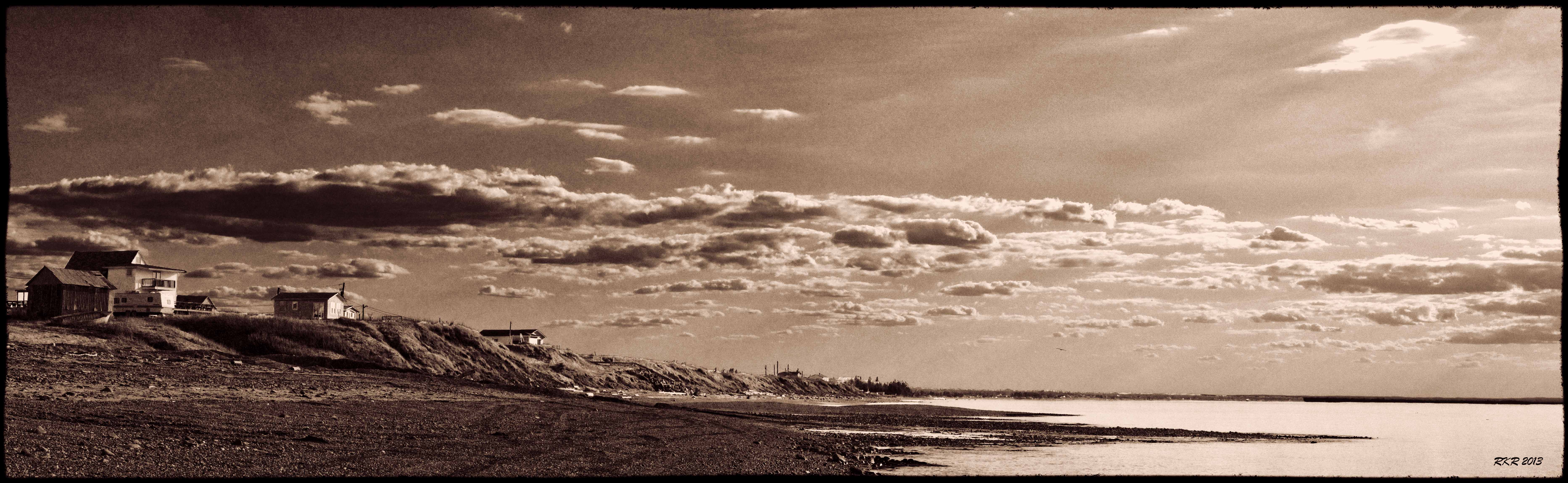
Sunset HDR
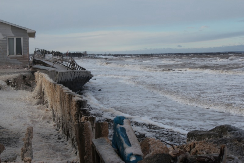
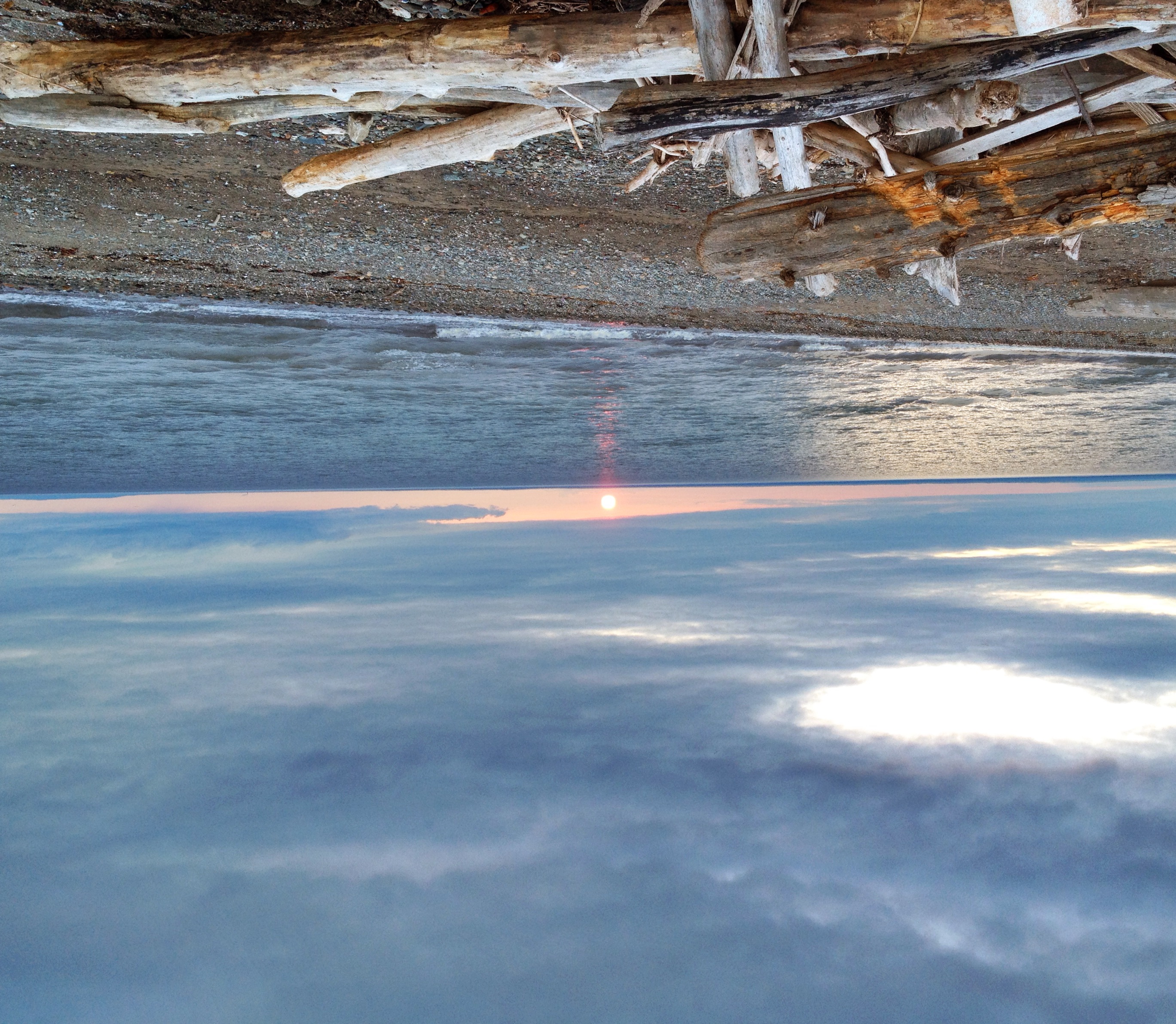
2010/365 December 28 - After the storm
Quai de Grande-Anse,N.B., Grande-Anse wharf, N.B.
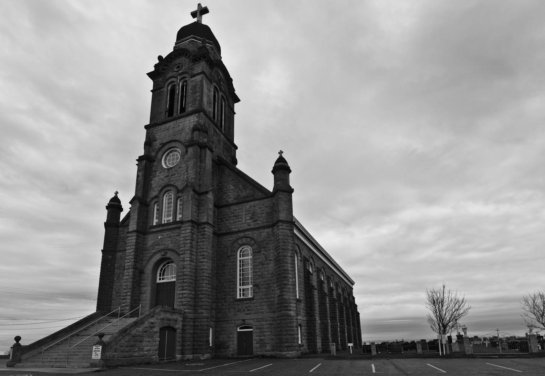
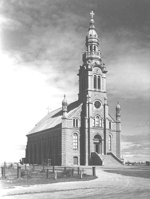
Grande-Anse Church
Waiting.
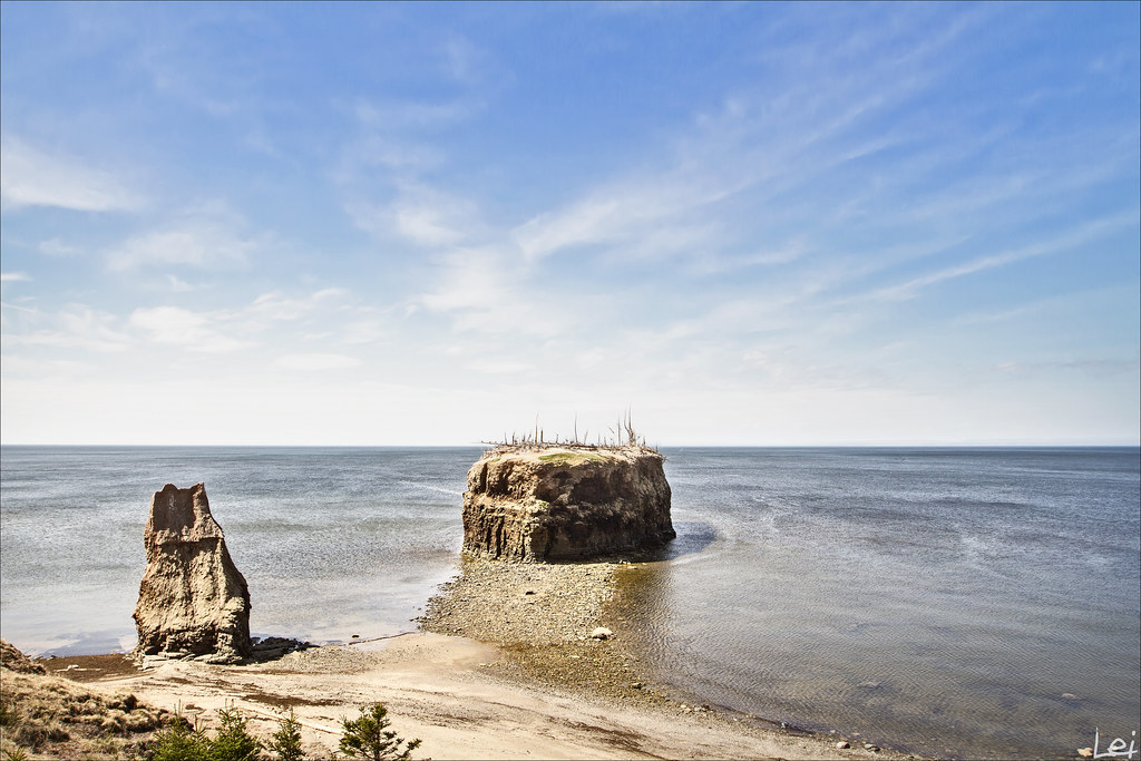
Pokeshaw Island
Dramatic sunset.
Grande Anse Lighthouse, NB

Pokeshaw sunset - Coucher de soleil à Pokeshaw---EXPLORE #190, June 26, 2014
"guardian"
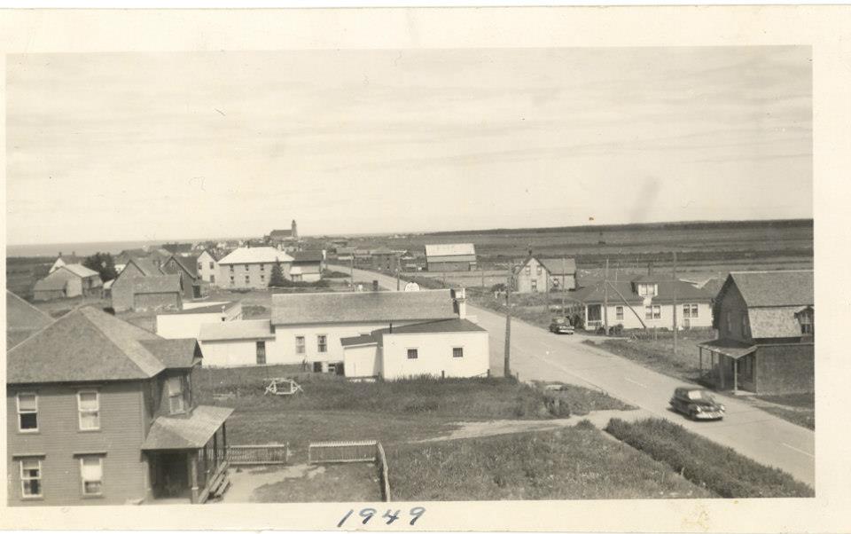
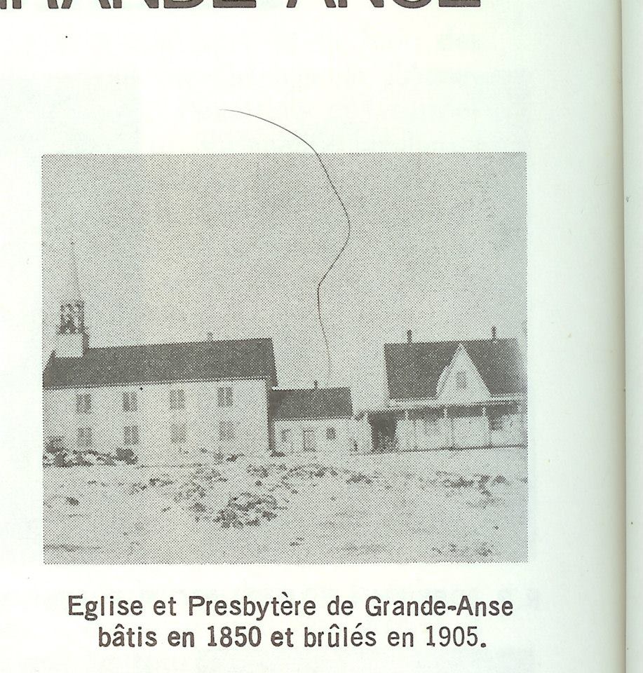
Grande-Anse en 1949
Église avant incendie 2
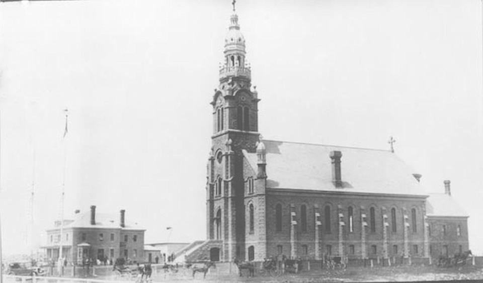
Église avant incendie 3
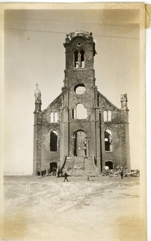
Église après incendie 2

Église après incendie sous-sol
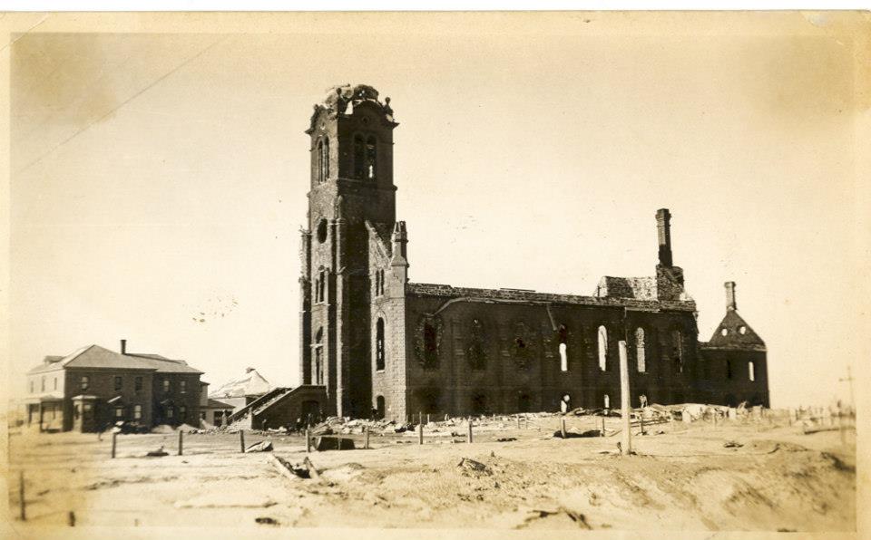
Église après incendie
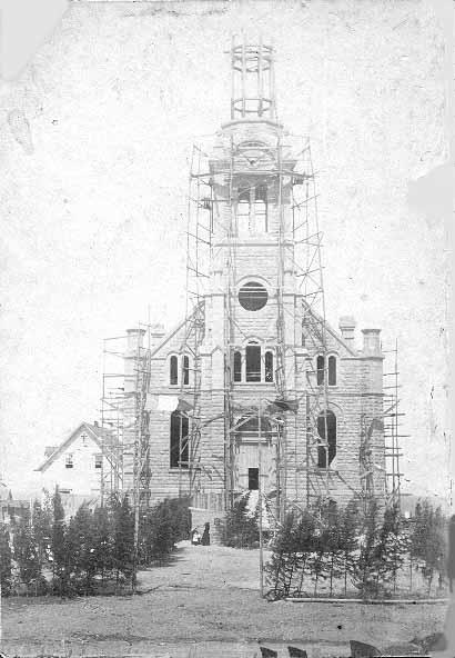
Église construction
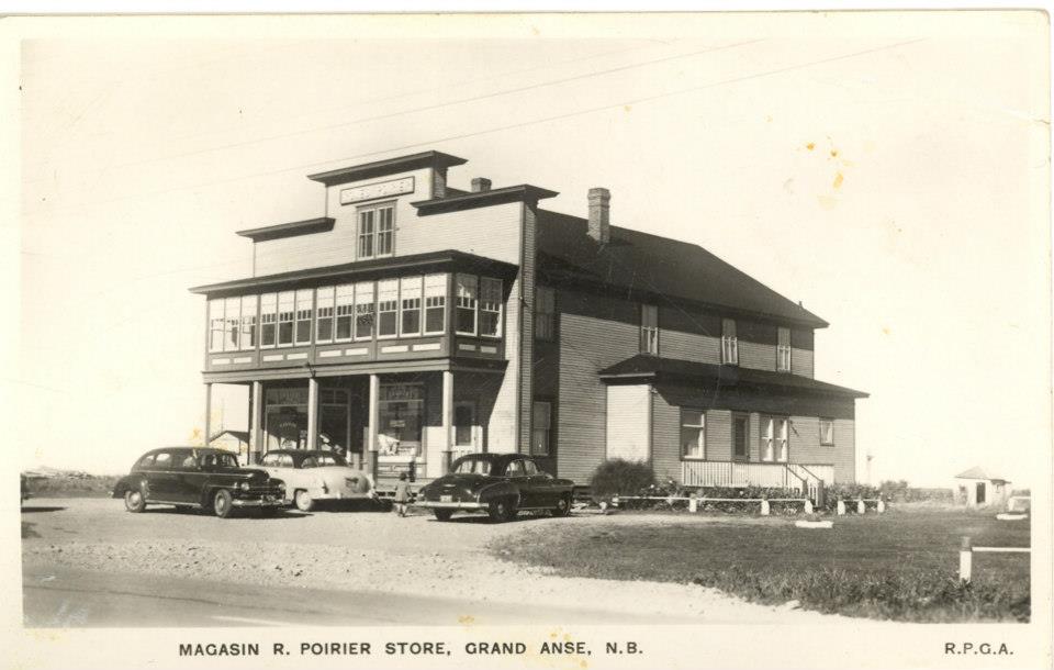
Magasin Roméo Poirier
Première église
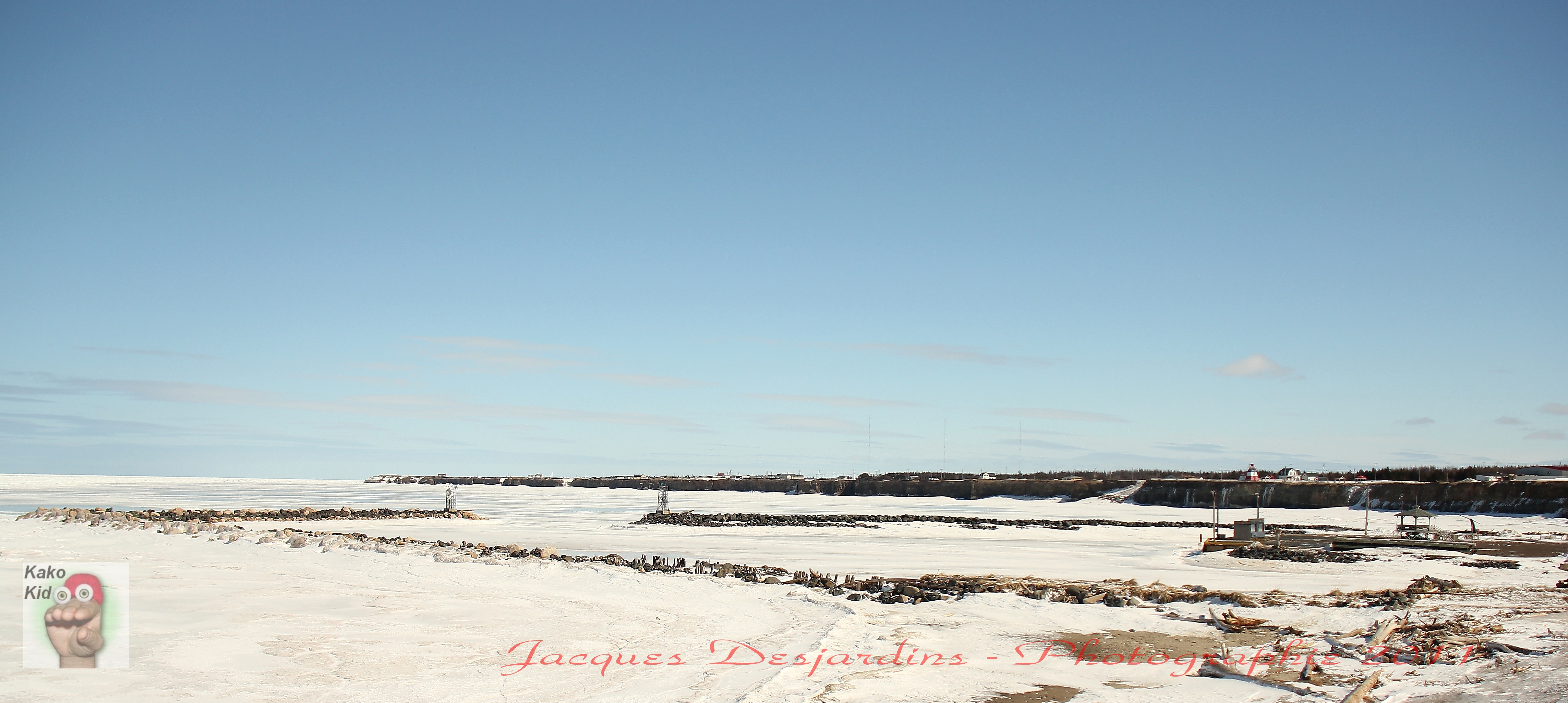
Stonehaven wharf
habitant marin
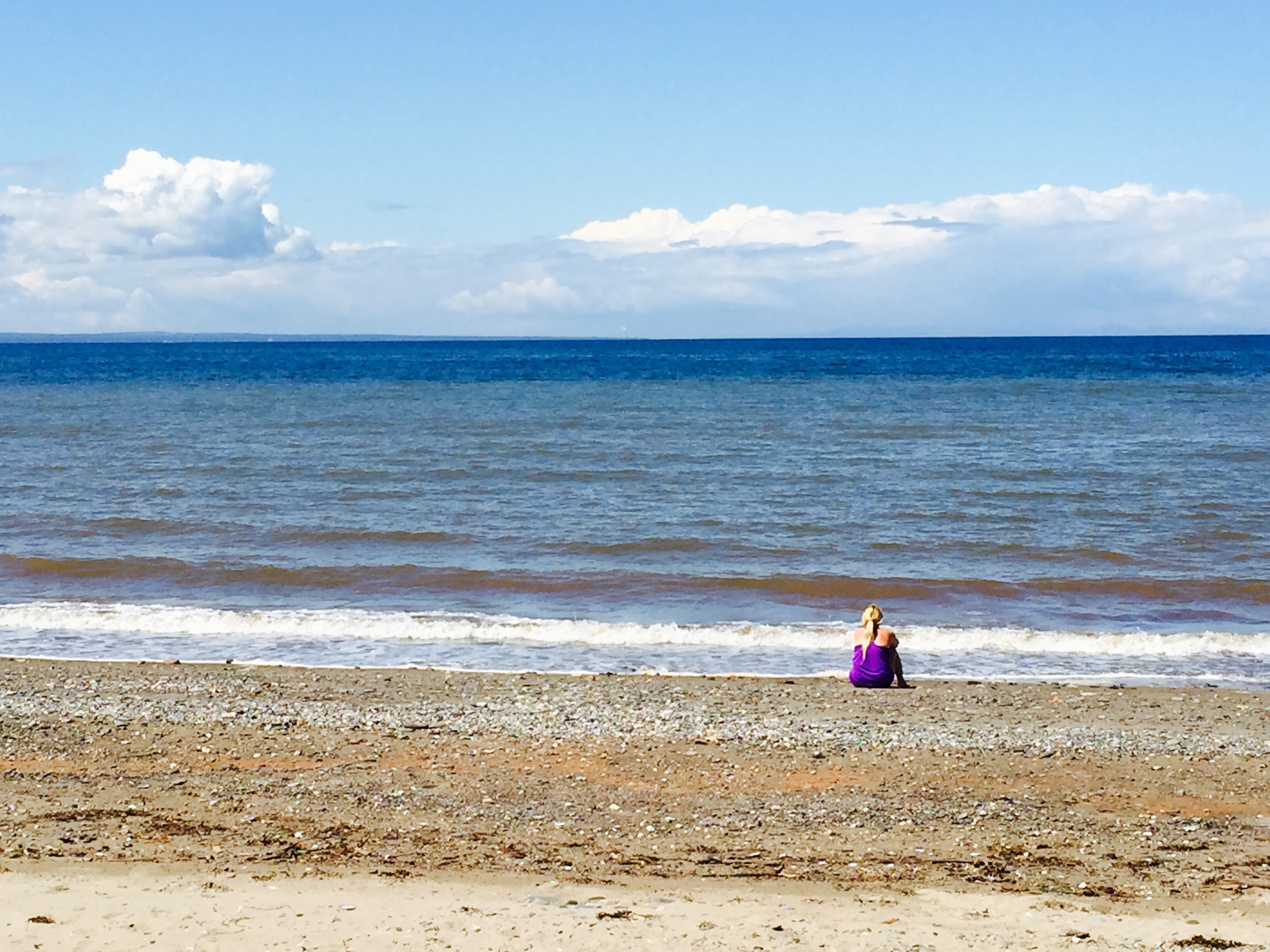
Janeville beach
Topographic Map of Stonehaven, NB E2A, Canada
Find elevation by address:

Places in Stonehaven, NB E2A, Canada:
Places near Stonehaven, NB E2A, Canada:
NB-11, Stonehaven, NB E2A 5N9, Canada
New Bandon
New Bandon
Canobie
Janeville
NB-, Bathurst, NB E2A, Canada
NB-11, Pokeshaw, NB E2A 5S6, Canada
Gloucester County
NB-, Saint-Sauveur, NB E8L 1N4, Canada
Saint-sauveur
Boulevard des Acadiens, Bertrand, NB E1W 1C6, Canada
Chemin Dugas, New Bandon-Salmon Beach, NB E8N, Canada
Carron Dr, Bathurst, NB E2A, Canada
Paquetville
1024 Packard St
Foley St, Bathurst, NB E2A 4W7, Canada
Bertrand
Allardville
Beresford
344 St Patrick St
Recent Searches:
- Elevation of Corso Fratelli Cairoli, 35, Macerata MC, Italy
- Elevation of Tallevast Rd, Sarasota, FL, USA
- Elevation of 4th St E, Sonoma, CA, USA
- Elevation of Black Hollow Rd, Pennsdale, PA, USA
- Elevation of Oakland Ave, Williamsport, PA, USA
- Elevation of Pedrógão Grande, Portugal
- Elevation of Klee Dr, Martinsburg, WV, USA
- Elevation of Via Roma, Pieranica CR, Italy
- Elevation of Tavkvetili Mountain, Georgia
- Elevation of Hartfords Bluff Cir, Mt Pleasant, SC, USA