Elevation of Saint-Sauveur, NB E8L, Canada
Location: Canada > New Brunswick > Gloucester County > Allardville >
Longitude: -65.270098
Latitude: 47.529538
Elevation: 78m / 256feet
Barometric Pressure: 100KPa
Elevation Map:
Satellite Map:
Related Photos:
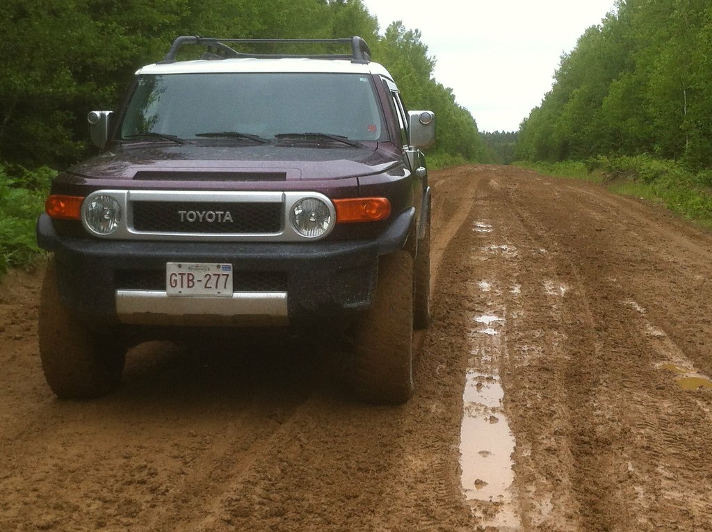
FJ Cruiser

lodge logic sportman grill

Is that so...?
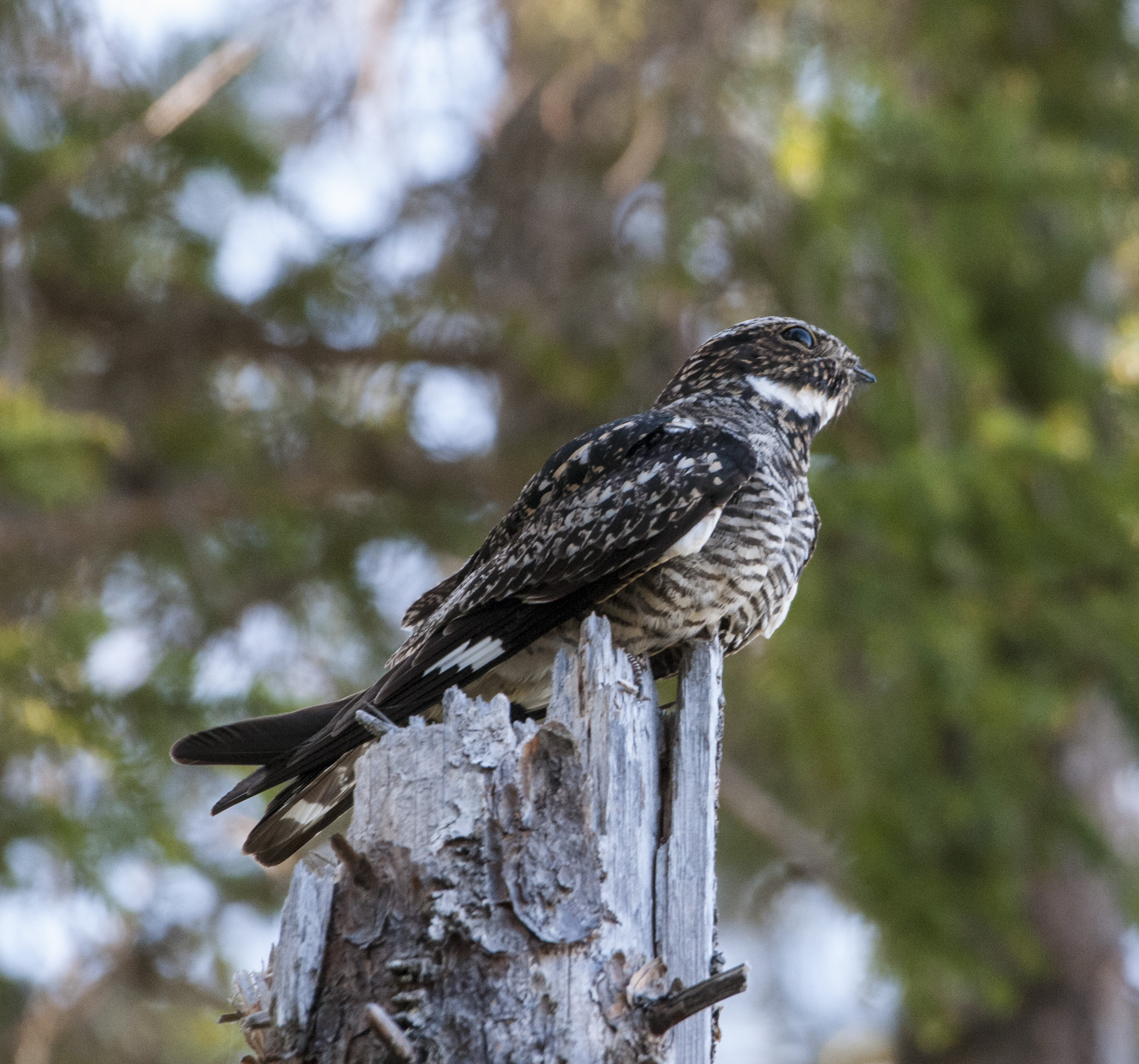
Engoulevent d'Amérique / Common Nighthawk
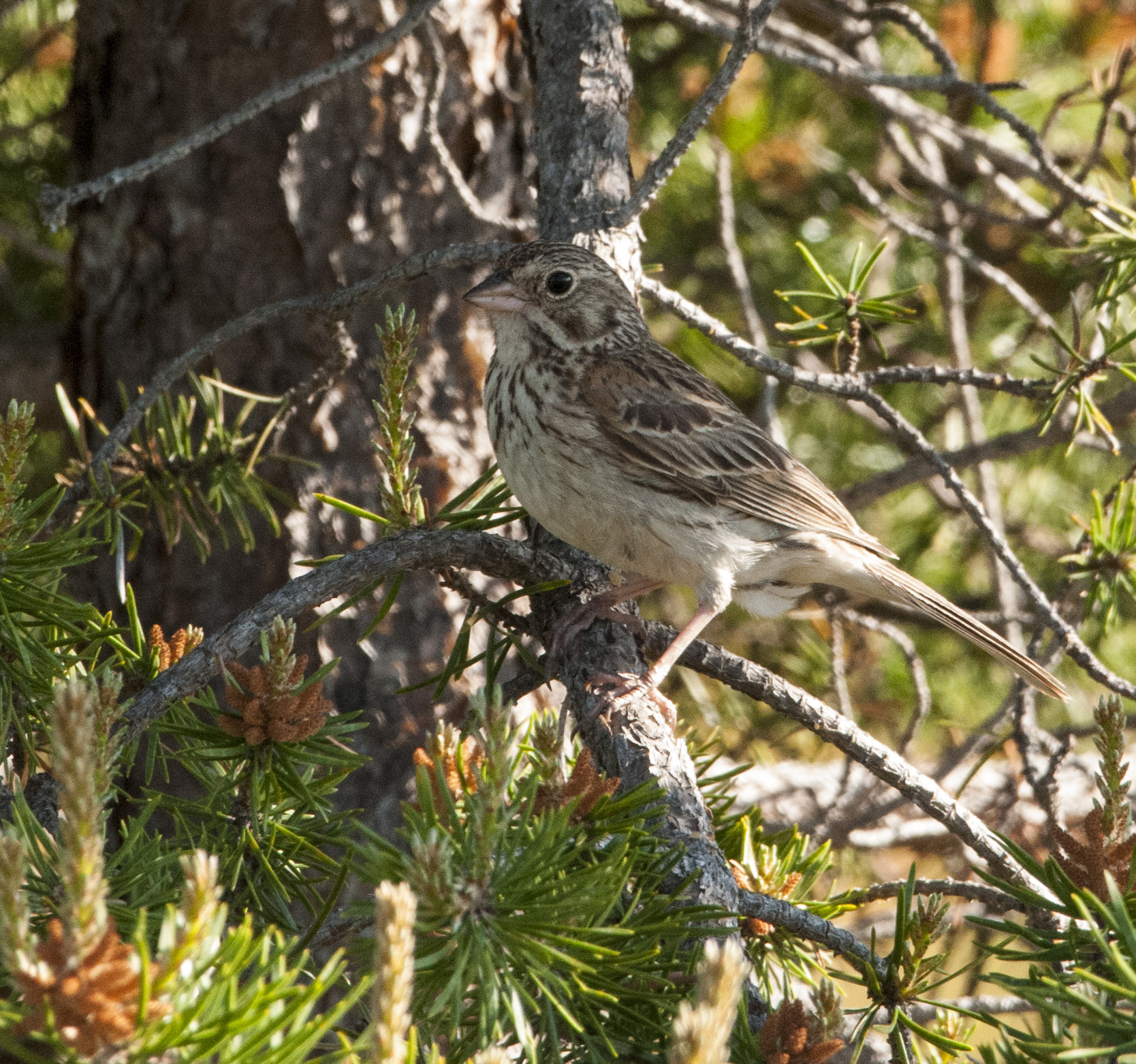
Bruant vespéral / Vesper Sparrow
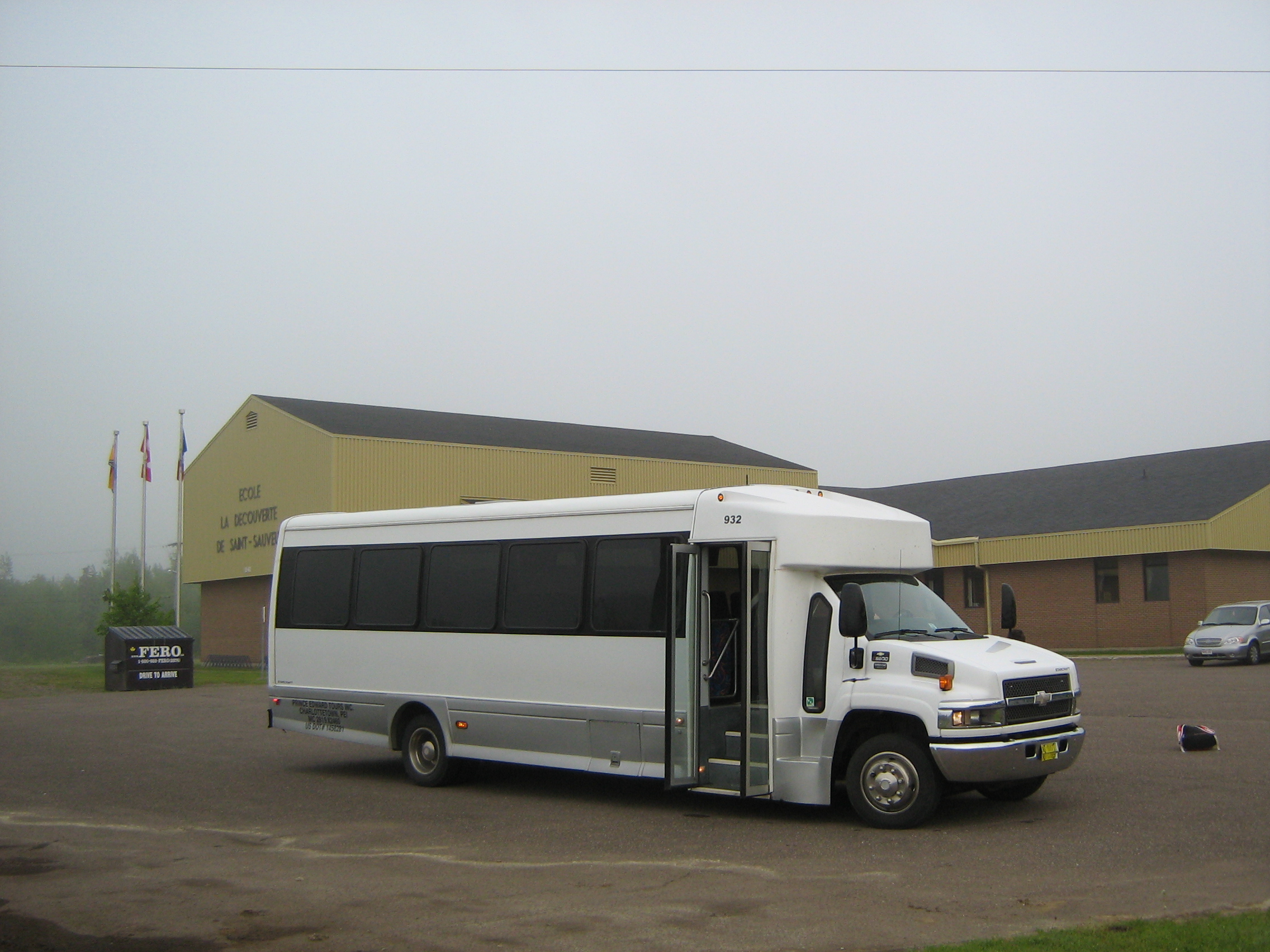
2007 Chevrolet Starcraft 32-passenger bus
St. Isidore Ready Mix St. Isidore NB
Topographic Map of Saint-Sauveur, NB E8L, Canada
Find elevation by address:

Places in Saint-Sauveur, NB E8L, Canada:
Places near Saint-Sauveur, NB E8L, Canada:
NB-, Saint-Sauveur, NB E8L 1N4, Canada
Gloucester County
NB-, Bathurst, NB E2A, Canada
Canobie
Saumarez
Saumarez
Saumarez
Allardville
Paquetville
Rue Mcgraw
Rue Rioux
63 Rue Rioux
Saint-isidore
Allainville
New Bandon
New Bandon
Stonehaven
NB-11, Stonehaven, NB E2A 5N9, Canada
Janeville
Boulevard des Acadiens, Bertrand, NB E1W 1C6, Canada
Recent Searches:
- Elevation of Corso Fratelli Cairoli, 35, Macerata MC, Italy
- Elevation of Tallevast Rd, Sarasota, FL, USA
- Elevation of 4th St E, Sonoma, CA, USA
- Elevation of Black Hollow Rd, Pennsdale, PA, USA
- Elevation of Oakland Ave, Williamsport, PA, USA
- Elevation of Pedrógão Grande, Portugal
- Elevation of Klee Dr, Martinsburg, WV, USA
- Elevation of Via Roma, Pieranica CR, Italy
- Elevation of Tavkvetili Mountain, Georgia
- Elevation of Hartfords Bluff Cir, Mt Pleasant, SC, USA