Elevation of State Hwy F, Niangua, MO, USA
Location: United States > Missouri > Webster County > Niangua >
Longitude: -92.7814373
Latitude: 37.3996717
Elevation: 408m / 1339feet
Barometric Pressure: 0KPa
Related Photos:

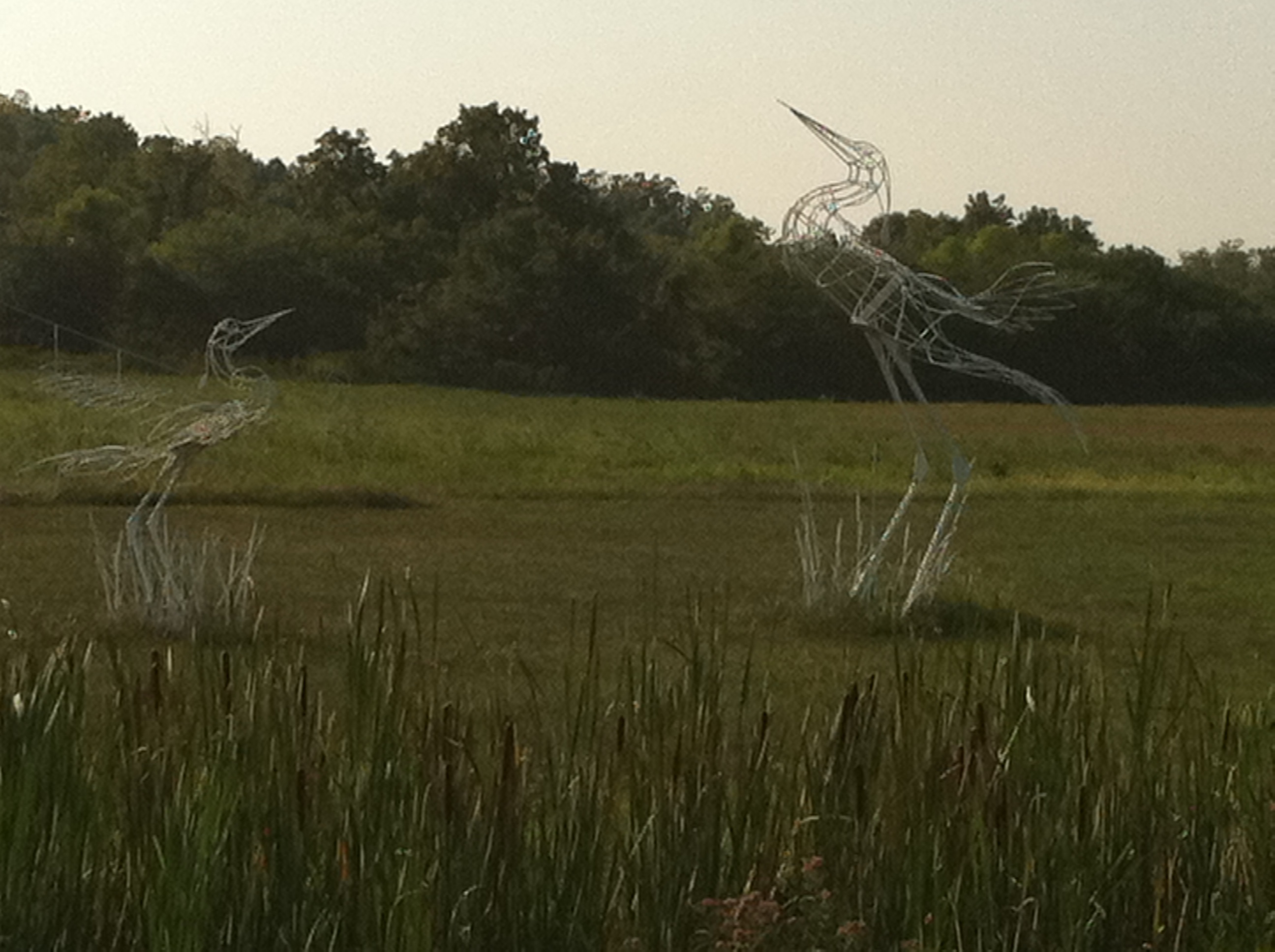
Hidden Waters Park

Hidden Waters Park

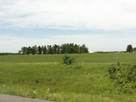
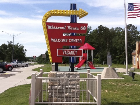
10-06-07 Day 10 - Route 66
Devils elbow
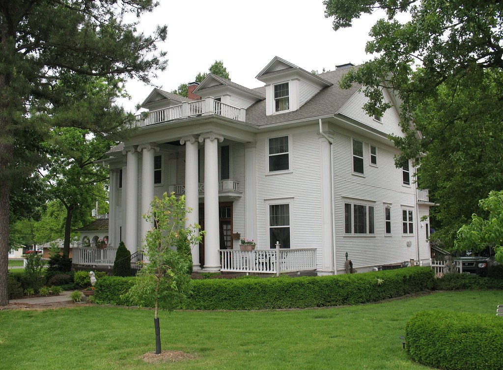
Dickey House Marshfield MO

Hidden Waters Park
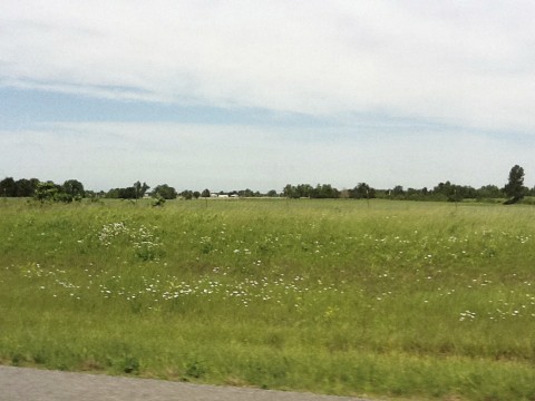
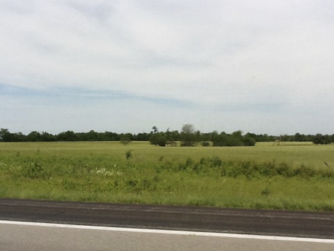
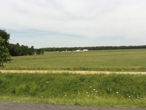
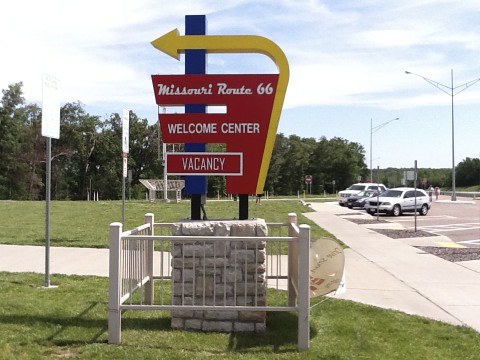
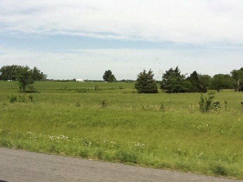
Route 66
Route 66
Route 66
Route 66
Route 66
Route 66
Route 66
Route 66
Route 66
Route 66
Route 66
Route 66
Route 66
Route 66
Route 66
Topographic Map of State Hwy F, Niangua, MO, USA
Find elevation by address:

Places near State Hwy F, Niangua, MO, USA:
3292 State Hwy F
3292 State Hwy F
3292 State Hwy F
1092 Union Rd
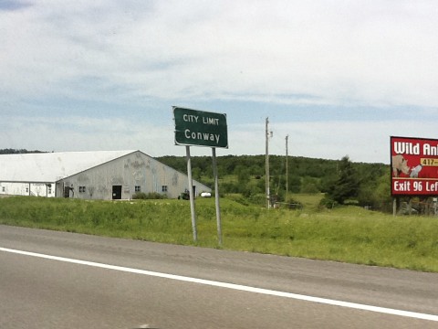
Niangua
State Hwy M, Niangua, MO, USA
Lockwood Refrigeration
Duncan Rd, Marshfield, MO, USA
6933 State Hwy C
1455 Mo-38
Hazelwood Township
2 Miles N On C From Seymour, Seymour, MO, USA
1268 Winningham Rd
1268 Winningham Rd
489 Old Jericho Rd
489 Old Jericho Rd
389 Old Jericho Rd
Wright County
226 N Main St
Seymour
Recent Searches:
- Elevation of Pasing, Munich, Bavaria, 81241, Germany
- Elevation of 24, Auburn Bay Crescent SE, Auburn Bay, Calgary, Alberta, T3M 0A6, Canada
- Elevation of Denver, 2314, Arapahoe Street, Five Points, Denver, Colorado, 80205, USA
- Elevation of Community of the Beatitudes, 2924, West 43rd Avenue, Sunnyside, Denver, Colorado, 80211, USA
- Elevation map of Litang County, Sichuan, China
- Elevation map of Madoi County, Qinghai, China
- Elevation of 3314, Ohio State Route 114, Payne, Paulding County, Ohio, 45880, USA
- Elevation of Sarahills Drive, Saratoga, Santa Clara County, California, 95070, USA
- Elevation of Town of Bombay, Franklin County, New York, USA
- Elevation of 9, Convent Lane, Center Moriches, Suffolk County, New York, 11934, USA
- Elevation of Saint Angelas Convent, 9, Convent Lane, Center Moriches, Suffolk County, New York, 11934, USA
- Elevation of 131st Street Southwest, Mukilteo, Snohomish County, Washington, 98275, USA
- Elevation of 304, Harrison Road, Naples, Cumberland County, Maine, 04055, USA
- Elevation of 2362, Timber Ridge Road, Harrisburg, Cabarrus County, North Carolina, 28075, USA
- Elevation of Ridge Road, Marshalltown, Marshall County, Iowa, 50158, USA
- Elevation of 2459, Misty Shadows Drive, Pigeon Forge, Sevier County, Tennessee, 37862, USA
- Elevation of 8043, Brightwater Way, Spring Hill, Williamson County, Tennessee, 37179, USA
- Elevation of Starkweather Road, San Luis, Costilla County, Colorado, 81152, USA
- Elevation of 5277, Woodside Drive, Baton Rouge, East Baton Rouge Parish, Louisiana, 70808, USA
- Elevation of 1139, Curtin Street, Shepherd Park Plaza, Houston, Harris County, Texas, 77018, USA