Elevation of State Hwy, Beattyville, KY, USA
Location: United States > Kentucky > Lee County > Beattyville >
Longitude: -83.746465
Latitude: 37.4318311
Elevation: 298m / 978feet
Barometric Pressure: 98KPa
Elevation Map:
Satellite Map:
Related Photos:

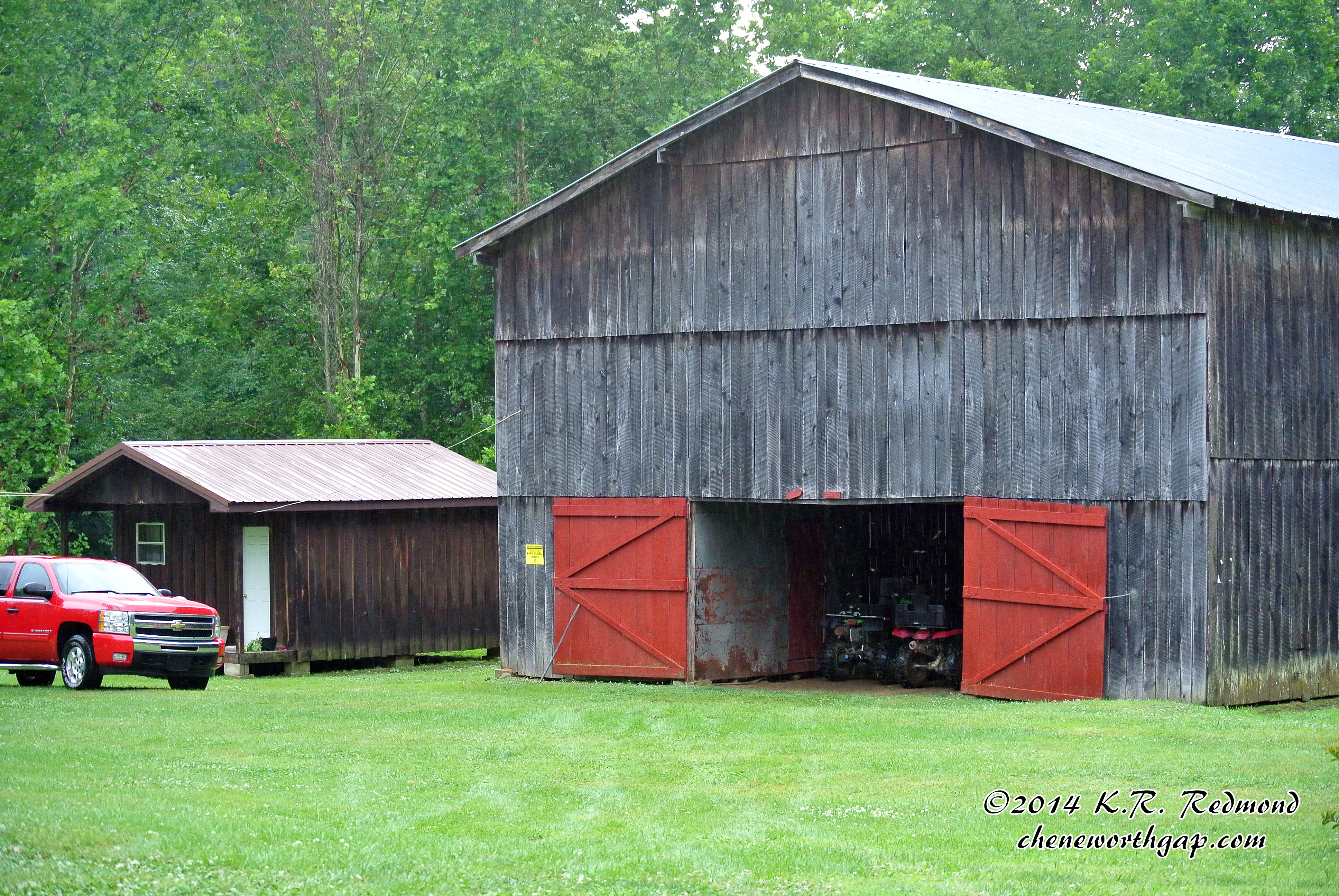
Owsley County Tobacco Barn
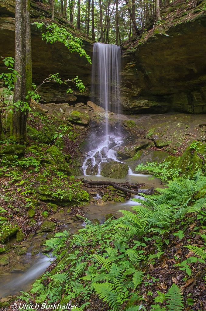
Alcorn Falls.
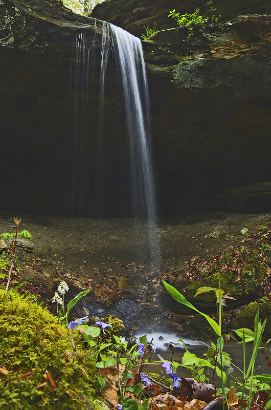
Small waterfall near Alcorn Falls
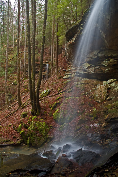
Alcorn Branch Falls , KY

Alcorn Branch Falls, KY
Alcorn Branch Falls, KY

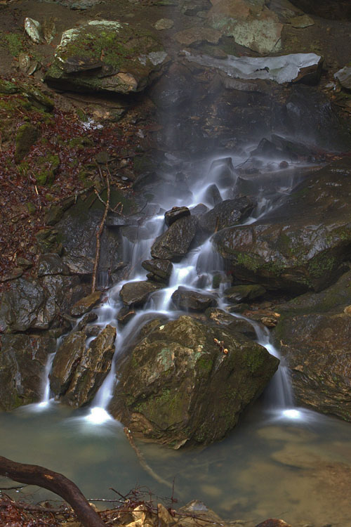
A Quiet Nook
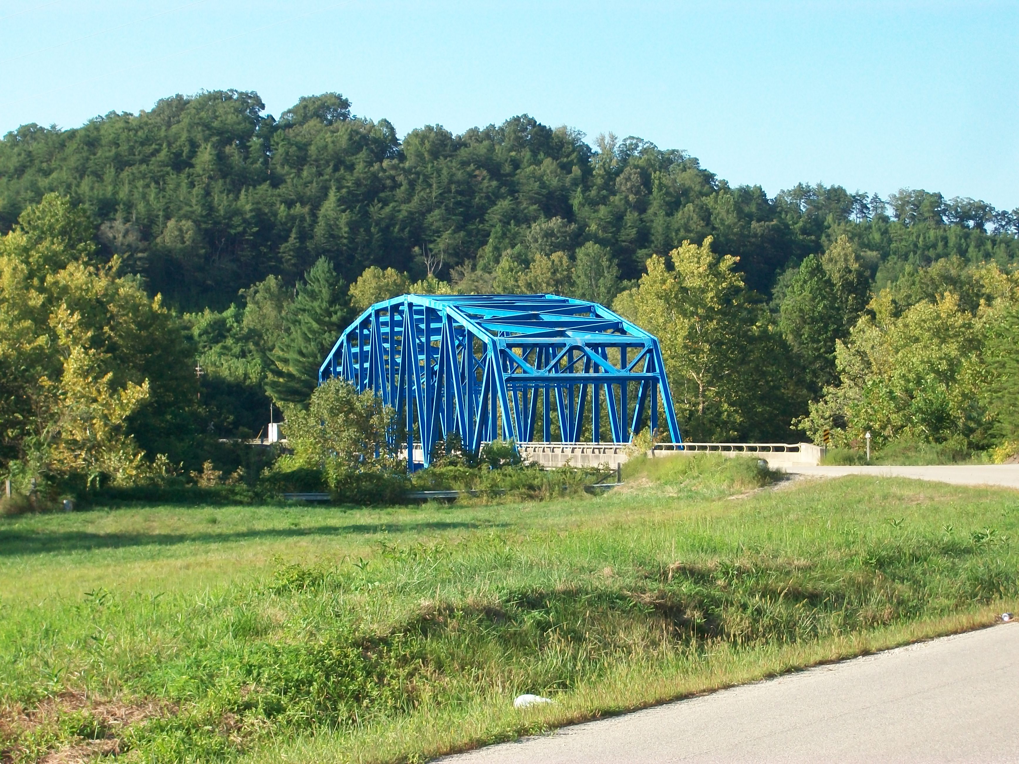
Heidelberg bridge, Heidelberg, Ky.

Fairy ring
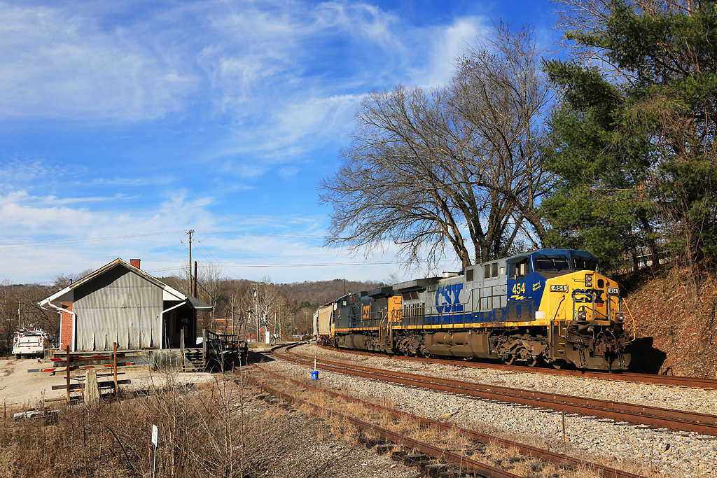
CSX EK Sub-Beattyville, Ky.

Pink House Road
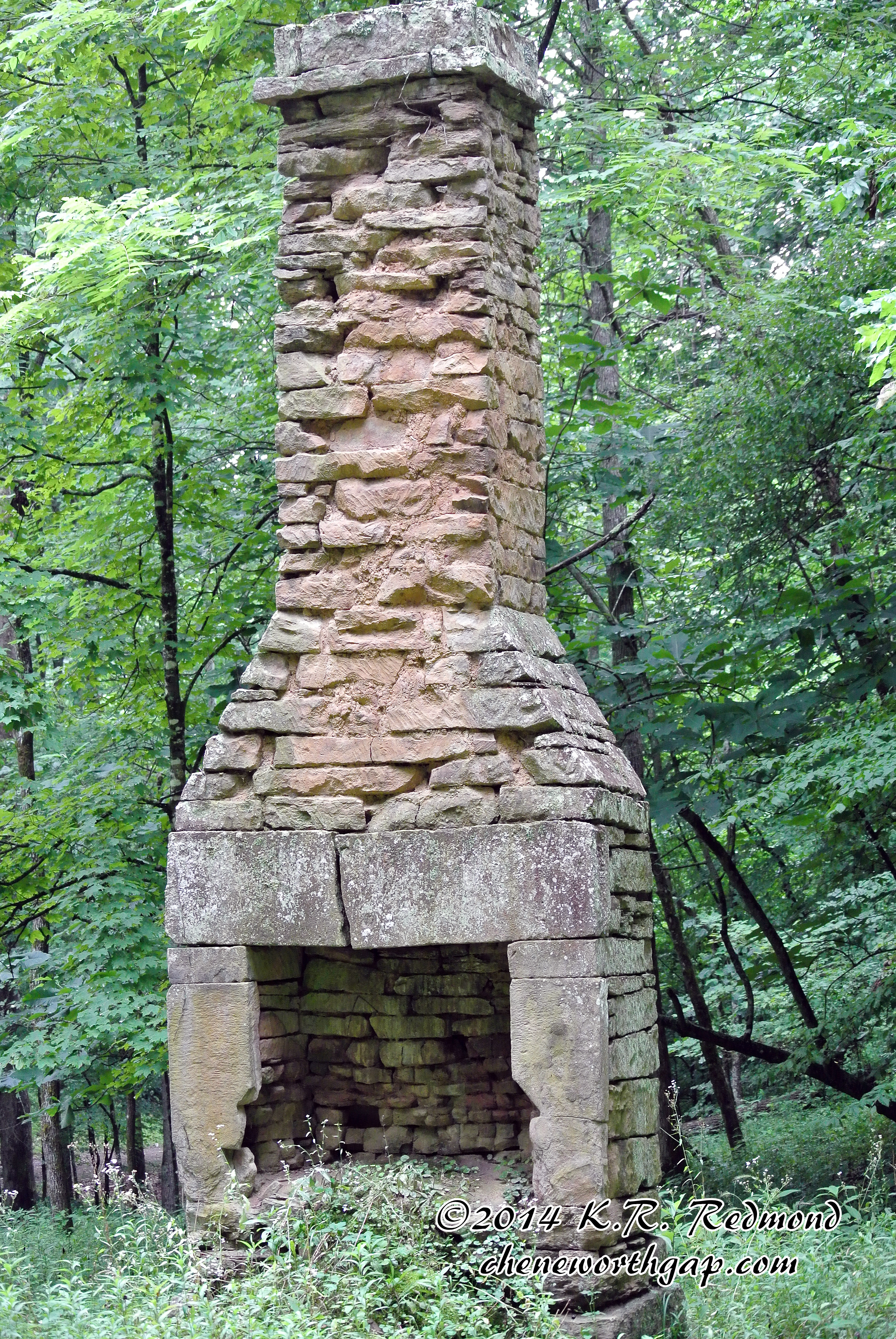
Antebellum Chimney
Rock Covered Well
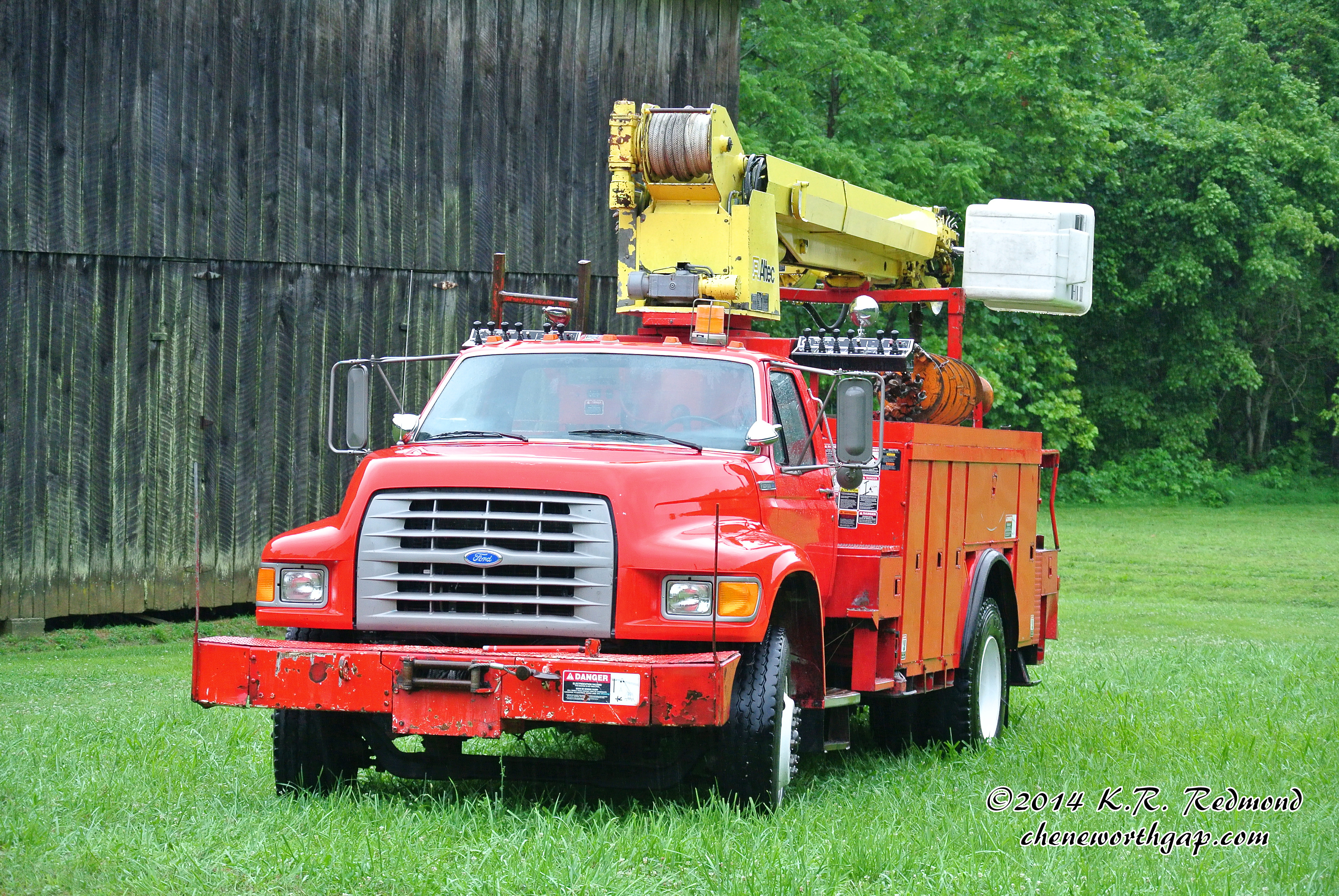
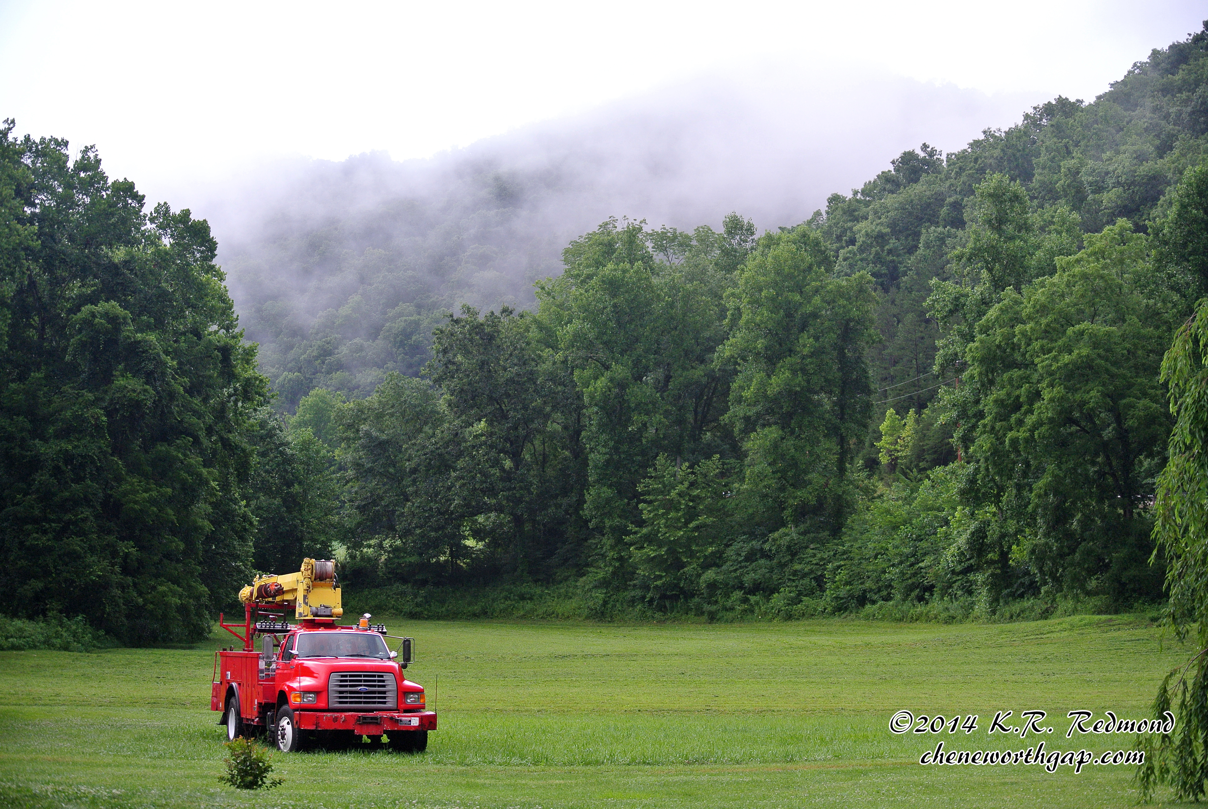
Bucket Truck

Bucket Truck
Nada's Barn

A Young Pepe Le Peu

A Young Pepe Le Peu

A Young Pepe Le Peu
After the Storm
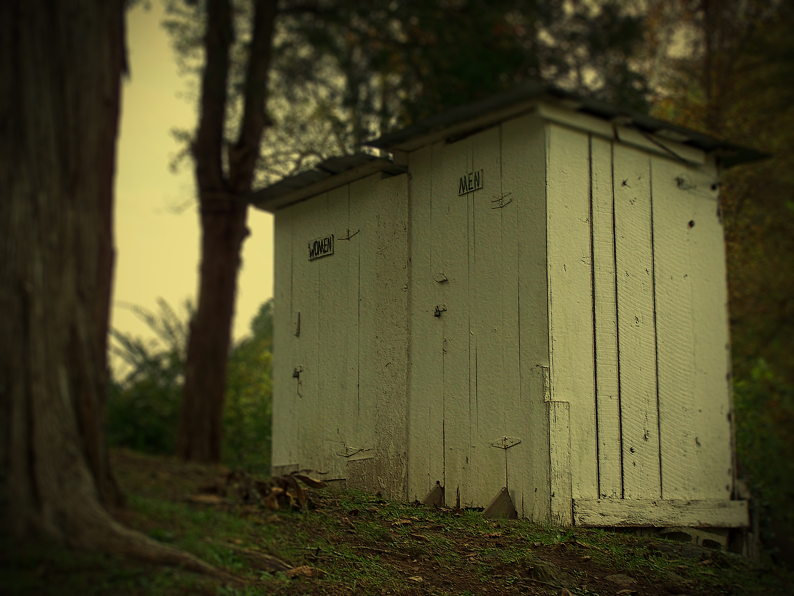
out houses

Cow Creek Regular Baptist Church

Owsley.Oct.12

Owsley.Oct.4

Owsley.Oct.5

Owsley.Oct.10

Owsley.Oct.11
Topographic Map of State Hwy, Beattyville, KY, USA
Find elevation by address:

Places near State Hwy, Beattyville, KY, USA:
Owsley County
KY-11, Booneville, KY, USA
Booneville
KY-, Beattyville, KY, USA
North Buffalo Zion Road
Crestmont Rd, Beattyville, KY, USA
State Highway 2024
Lower Buffalo Creek
State Highway 1768
Ricetown
Broadway, Beattyville, KY, USA
Beattyville
State Hwy, Tyner, KY, USA
Kentucky 3445
Lee County
Spencer Fork Road
Tyner
9010 Us-421
Ross Tires Inc
Youth Haven Road
Recent Searches:
- Elevation of Corso Fratelli Cairoli, 35, Macerata MC, Italy
- Elevation of Tallevast Rd, Sarasota, FL, USA
- Elevation of 4th St E, Sonoma, CA, USA
- Elevation of Black Hollow Rd, Pennsdale, PA, USA
- Elevation of Oakland Ave, Williamsport, PA, USA
- Elevation of Pedrógão Grande, Portugal
- Elevation of Klee Dr, Martinsburg, WV, USA
- Elevation of Via Roma, Pieranica CR, Italy
- Elevation of Tavkvetili Mountain, Georgia
- Elevation of Hartfords Bluff Cir, Mt Pleasant, SC, USA