Elevation of Lee County, KY, USA
Location: United States > Kentucky >
Longitude: -83.719913
Latitude: 37.599443
Elevation: 326m / 1070feet
Barometric Pressure: 97KPa
Elevation Map:
Satellite Map:
Related Photos:
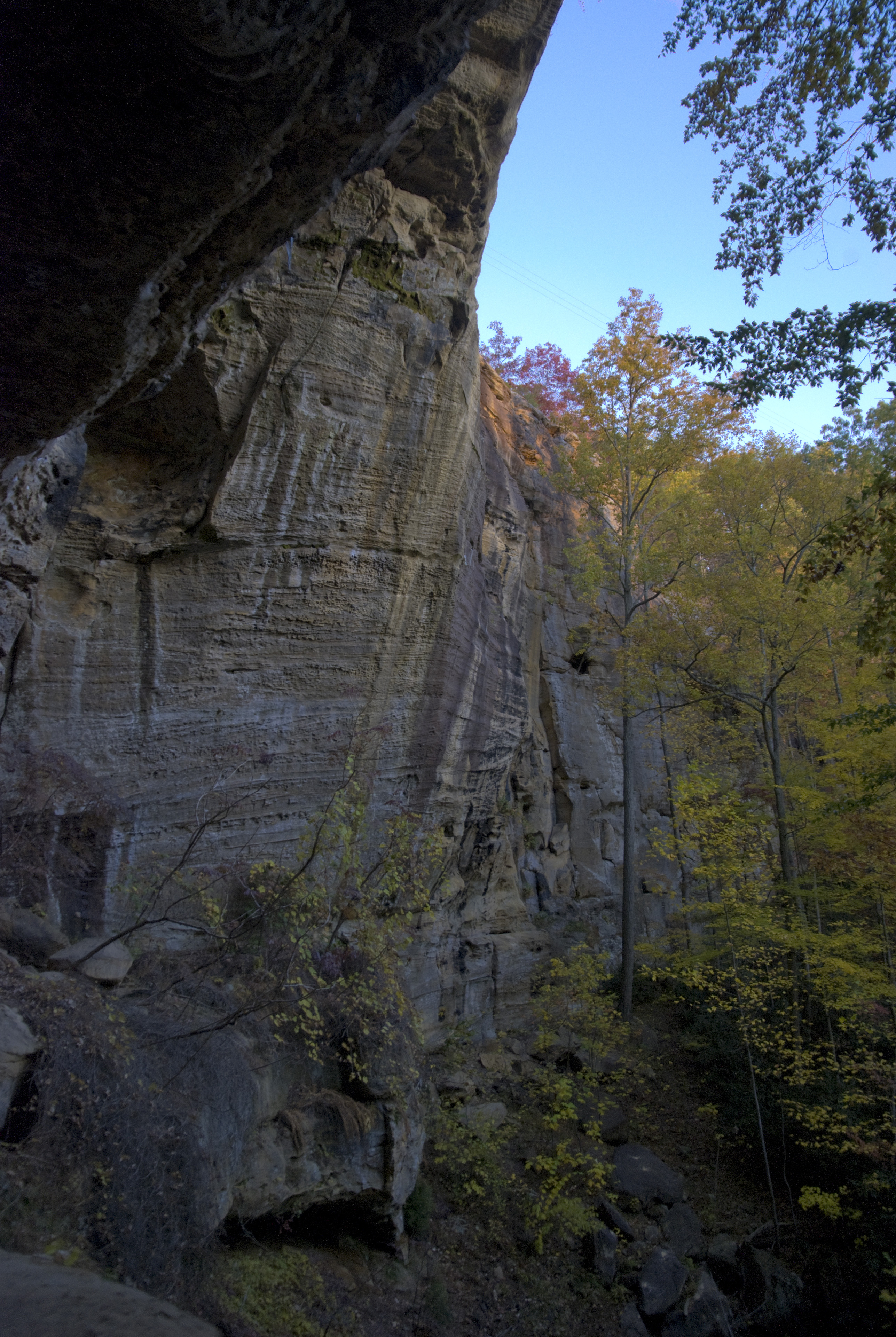
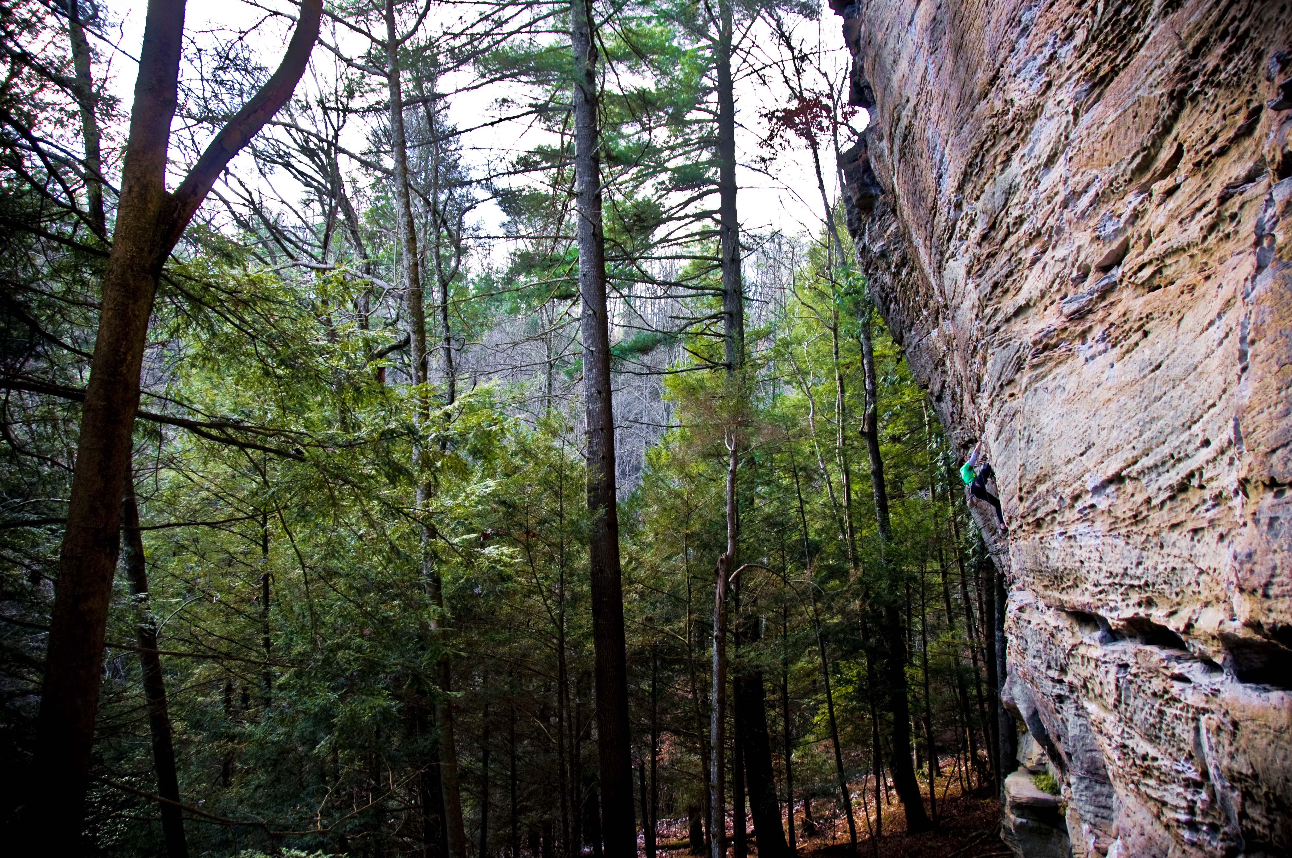
Bob Marley Crag View

along the trail.

palette of autumn

Lake above Cave Fork Rd above Big Sinking Creek
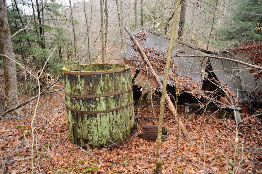
Oilfield powerhouse in Kentucky
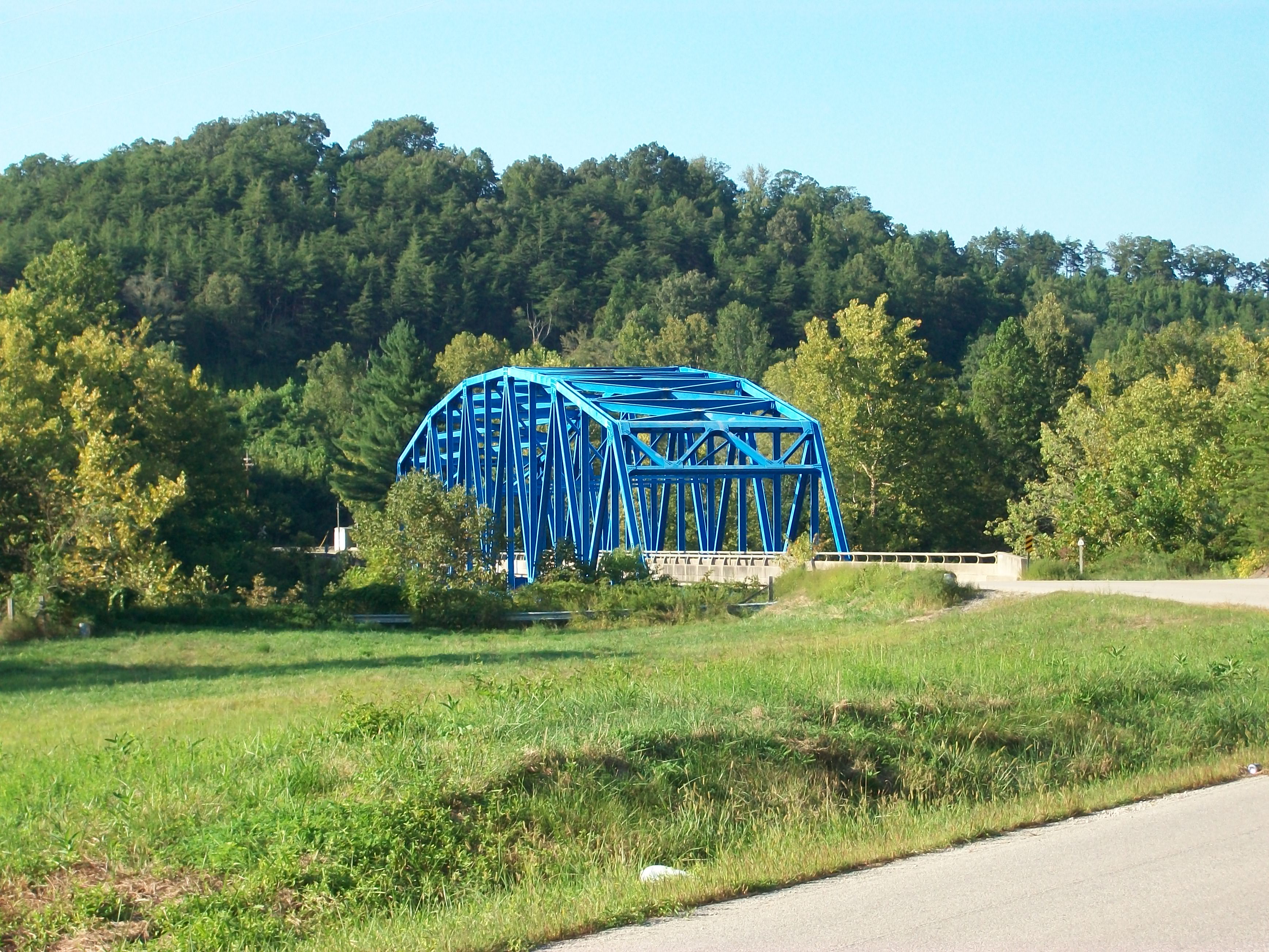
Heidelberg bridge, Heidelberg, Ky.

Midwest Trip
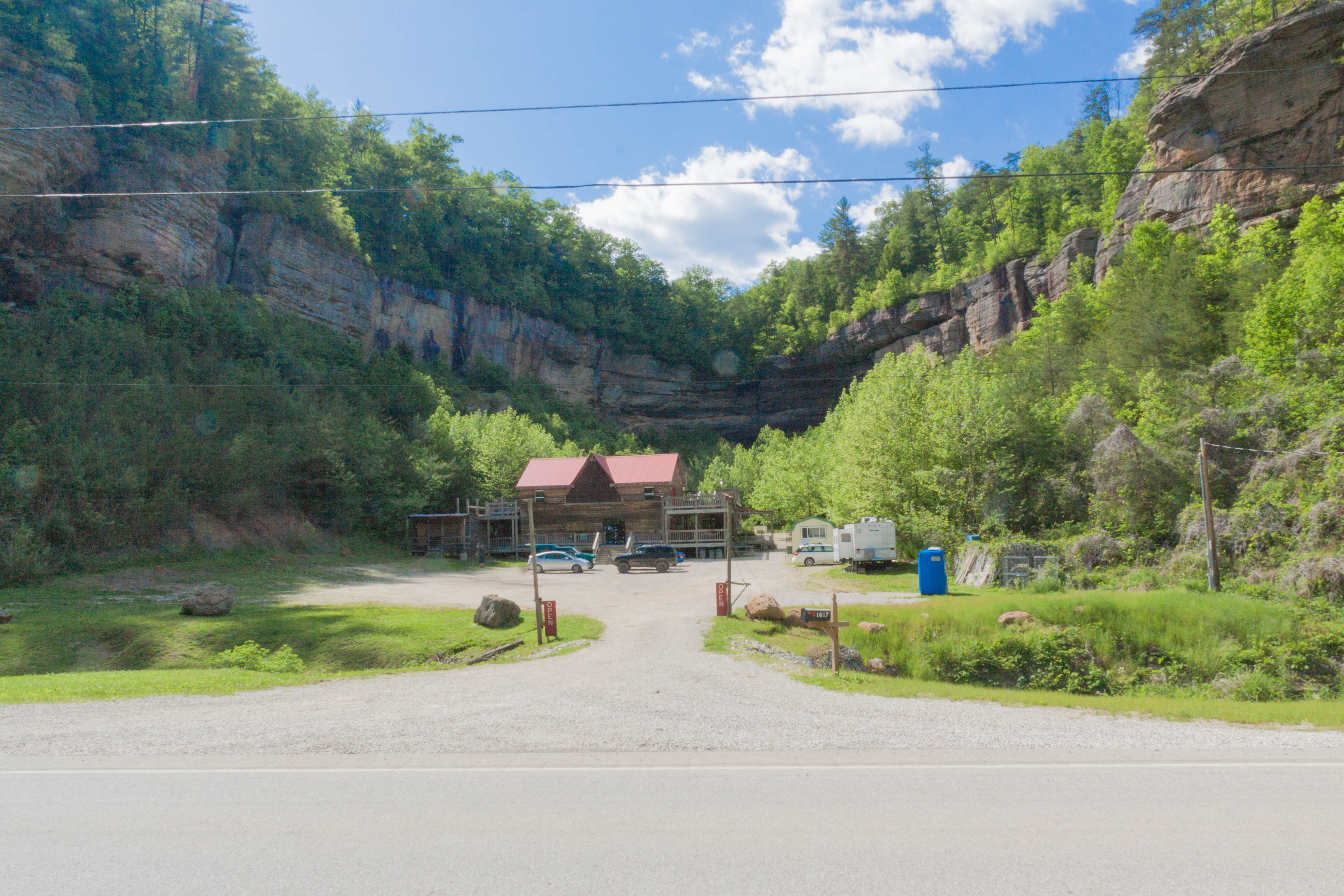
Big Sinking Oilfield

big sinking oilfield

Series III-8B

Series III-8B
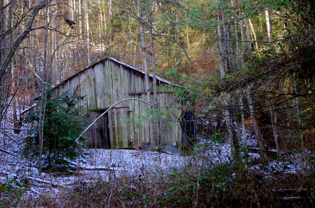
Abandoned barn Zachariah, Kentucky
Fall fun
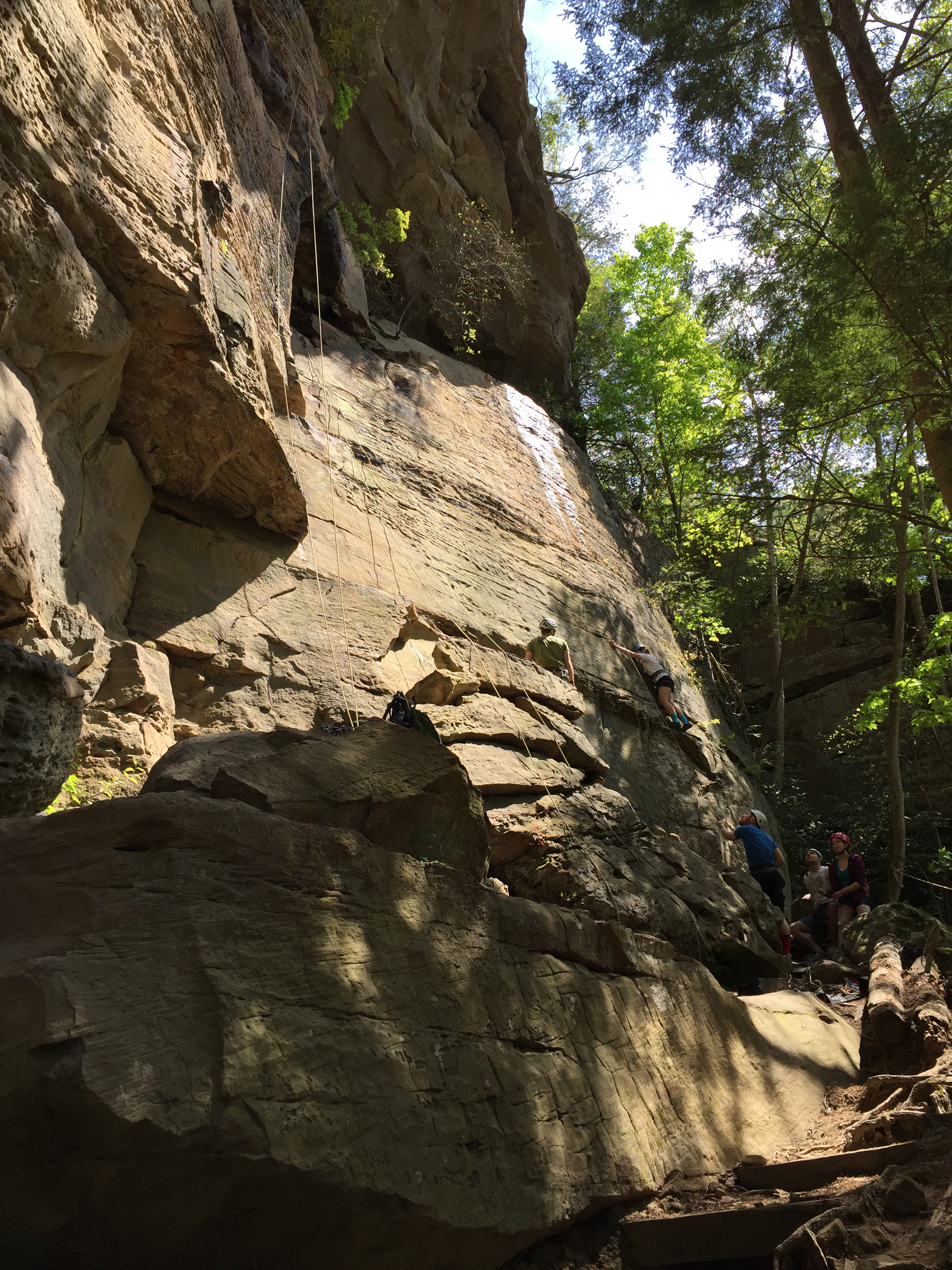
Beginners' wall

CabinAug2010 17
1205_Red River Gorge_233.jpg

FamilyCamp 2011 - 043
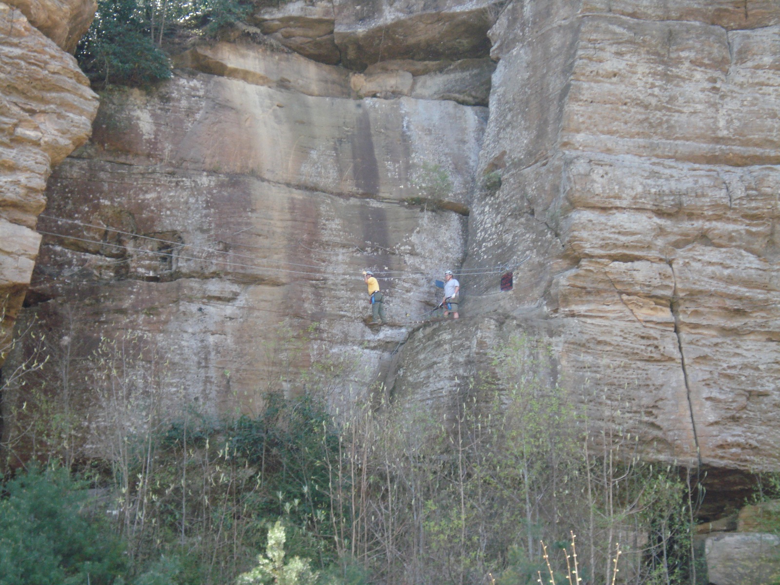
Tightrope Walk

CabinAug2010 16

FamilyCamp 2011 - 041

Climbing on Joes Property

FamilyCamp 2011 - 040
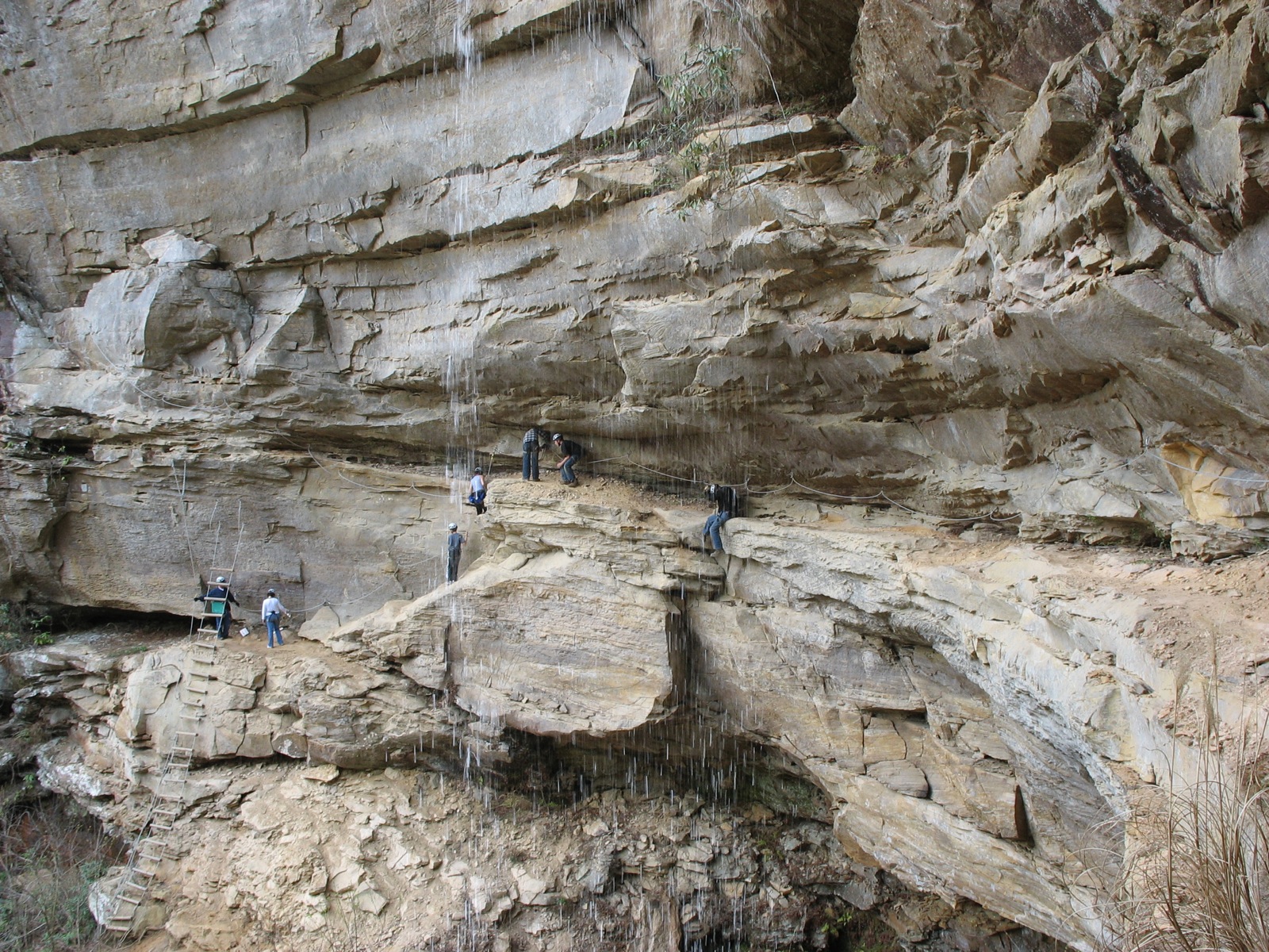
Under the Waterfall

FamilyCamp 2011 - 039
Topographic Map of Lee County, KY, USA
Find elevation by address:

Places in Lee County, KY, USA:
Beattyville
Evelyn - Lock Rd, Irvine, KY, USA
Evelyn Road
State Hwy, Campton, KY, USA
North Buffalo Zion Road
Old Landing
Places near Lee County, KY, USA:
Beattyville
Broadway, Beattyville, KY, USA
Ross Tires Inc
7453 Ky-52
Youth Haven Road
Youth Haven Road
Kentucky Mountain Mission Inc.
North Buffalo Zion Road
1065 Shumaker Ridge Rd
Lower Buffalo Creek
Old Landing
Crestmont Rd, Beattyville, KY, USA
Evelyn Road
State Hwy, Campton, KY, USA
KY-11, Booneville, KY, USA
Booneville
Evelyn - Lock Rd, Irvine, KY, USA
KY-, Beattyville, KY, USA
207 Gilliam Rd
Cobhill
Recent Searches:
- Elevation of Corso Fratelli Cairoli, 35, Macerata MC, Italy
- Elevation of Tallevast Rd, Sarasota, FL, USA
- Elevation of 4th St E, Sonoma, CA, USA
- Elevation of Black Hollow Rd, Pennsdale, PA, USA
- Elevation of Oakland Ave, Williamsport, PA, USA
- Elevation of Pedrógão Grande, Portugal
- Elevation of Klee Dr, Martinsburg, WV, USA
- Elevation of Via Roma, Pieranica CR, Italy
- Elevation of Tavkvetili Mountain, Georgia
- Elevation of Hartfords Bluff Cir, Mt Pleasant, SC, USA