Elevation of KY-, Beattyville, KY, USA
Location: United States > Kentucky > Lee County > Beattyville >
Longitude: -83.804225
Latitude: 37.4946348
Elevation: 266m / 873feet
Barometric Pressure: 98KPa
Elevation Map:
Satellite Map:
Related Photos:
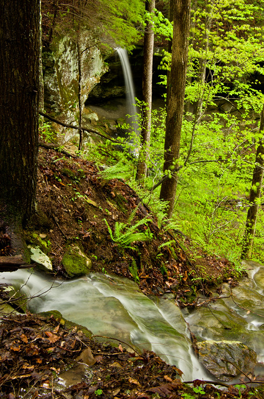
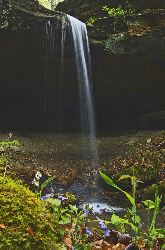
The approach of Alcorn Falls
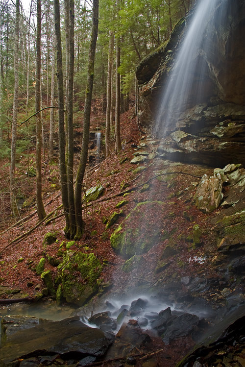
Alcorn Branch Falls , KY
Alcorn Branch Falls, KY

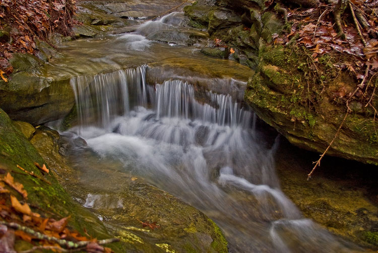
Series III-8B

Series III-8B
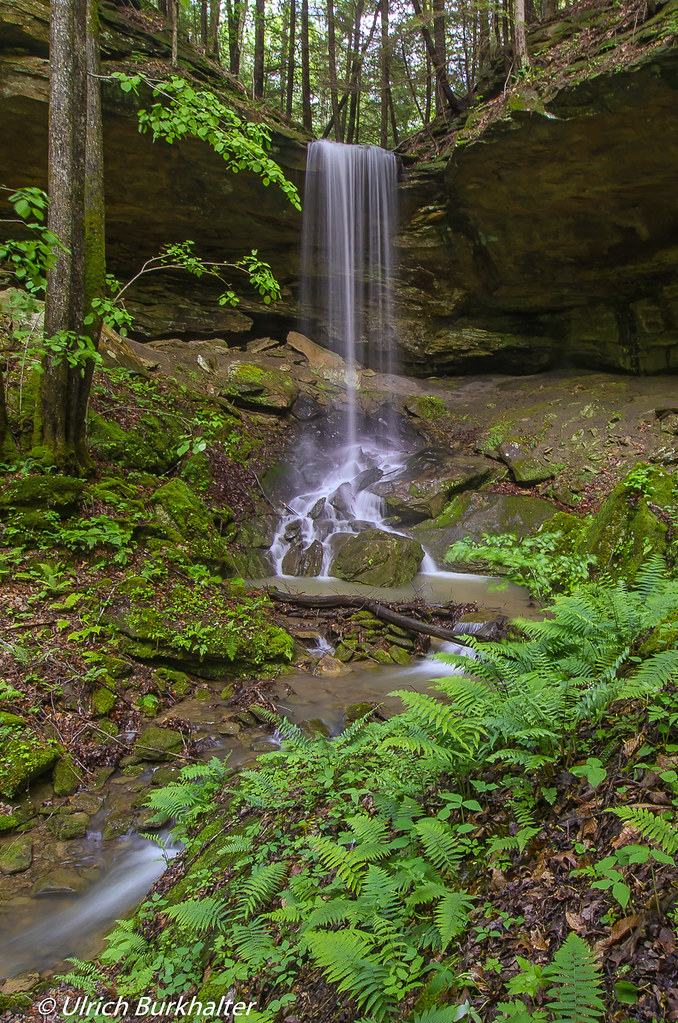
Alcorn Falls.
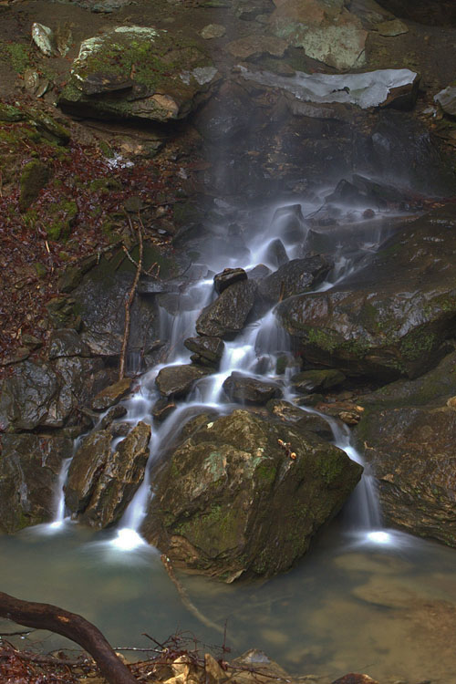
Small waterfall near Alcorn Falls
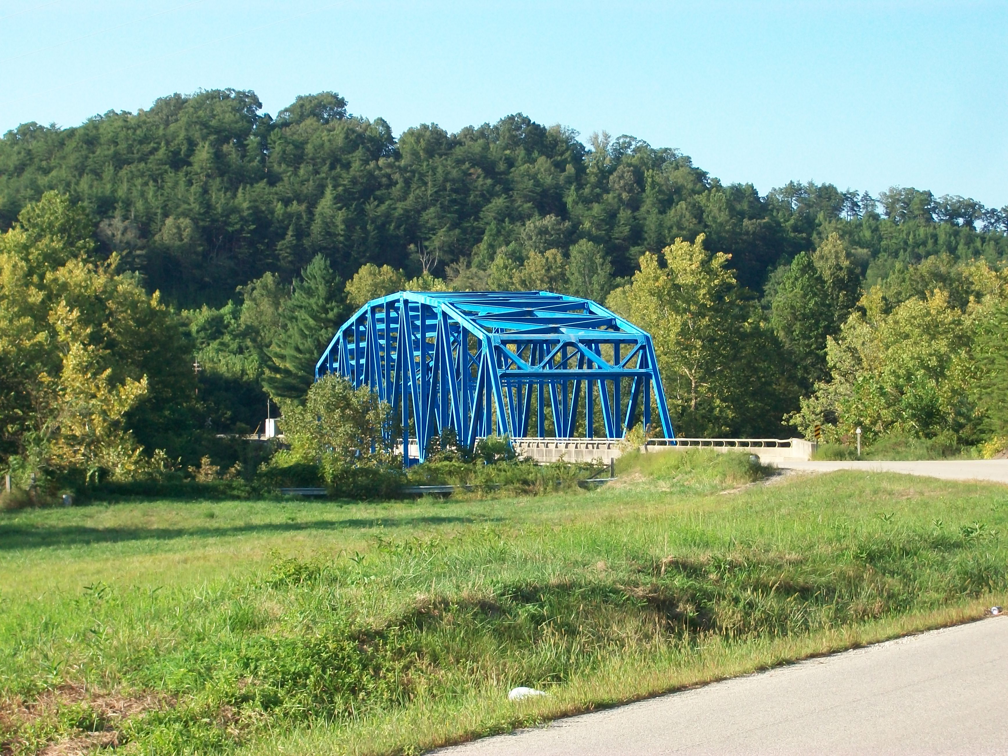
Heidelberg bridge, Heidelberg, Ky.
Alcorn Branch Falls, KY

Flat Lick Falls
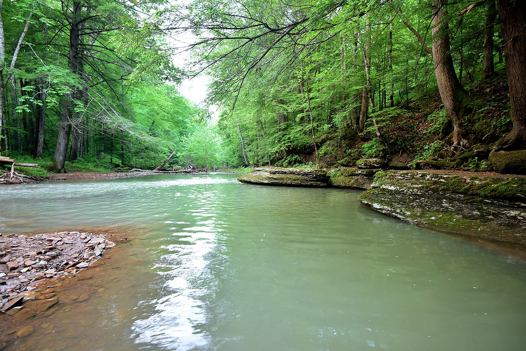
War Fork Creek
Topographic Map of KY-, Beattyville, KY, USA
Find elevation by address:

Places near KY-, Beattyville, KY, USA:
Crestmont Rd, Beattyville, KY, USA
State Hwy, Beattyville, KY, USA
Owsley County
North Buffalo Zion Road
Broadway, Beattyville, KY, USA
Beattyville
KY-11, Booneville, KY, USA
Evelyn - Lock Rd, Irvine, KY, USA
Booneville
Evelyn Road
Youth Haven Road
Youth Haven Road
Kentucky Mountain Mission Inc.
Lee County
Lower Buffalo Creek
Kentucky 3445
7453 Ky-52
Old Landing
State Hwy, Tyner, KY, USA
Alumbaugh
Recent Searches:
- Elevation of Corso Fratelli Cairoli, 35, Macerata MC, Italy
- Elevation of Tallevast Rd, Sarasota, FL, USA
- Elevation of 4th St E, Sonoma, CA, USA
- Elevation of Black Hollow Rd, Pennsdale, PA, USA
- Elevation of Oakland Ave, Williamsport, PA, USA
- Elevation of Pedrógão Grande, Portugal
- Elevation of Klee Dr, Martinsburg, WV, USA
- Elevation of Via Roma, Pieranica CR, Italy
- Elevation of Tavkvetili Mountain, Georgia
- Elevation of Hartfords Bluff Cir, Mt Pleasant, SC, USA