Elevation of State Highway, State Hwy, Kentucky, USA
Location: United States > Kentucky > Owsley County > Ricetown >
Longitude: -83.630989
Latitude: 37.407616
Elevation: 238m / 781feet
Barometric Pressure: 98KPa
Elevation Map:
Satellite Map:
Related Photos:
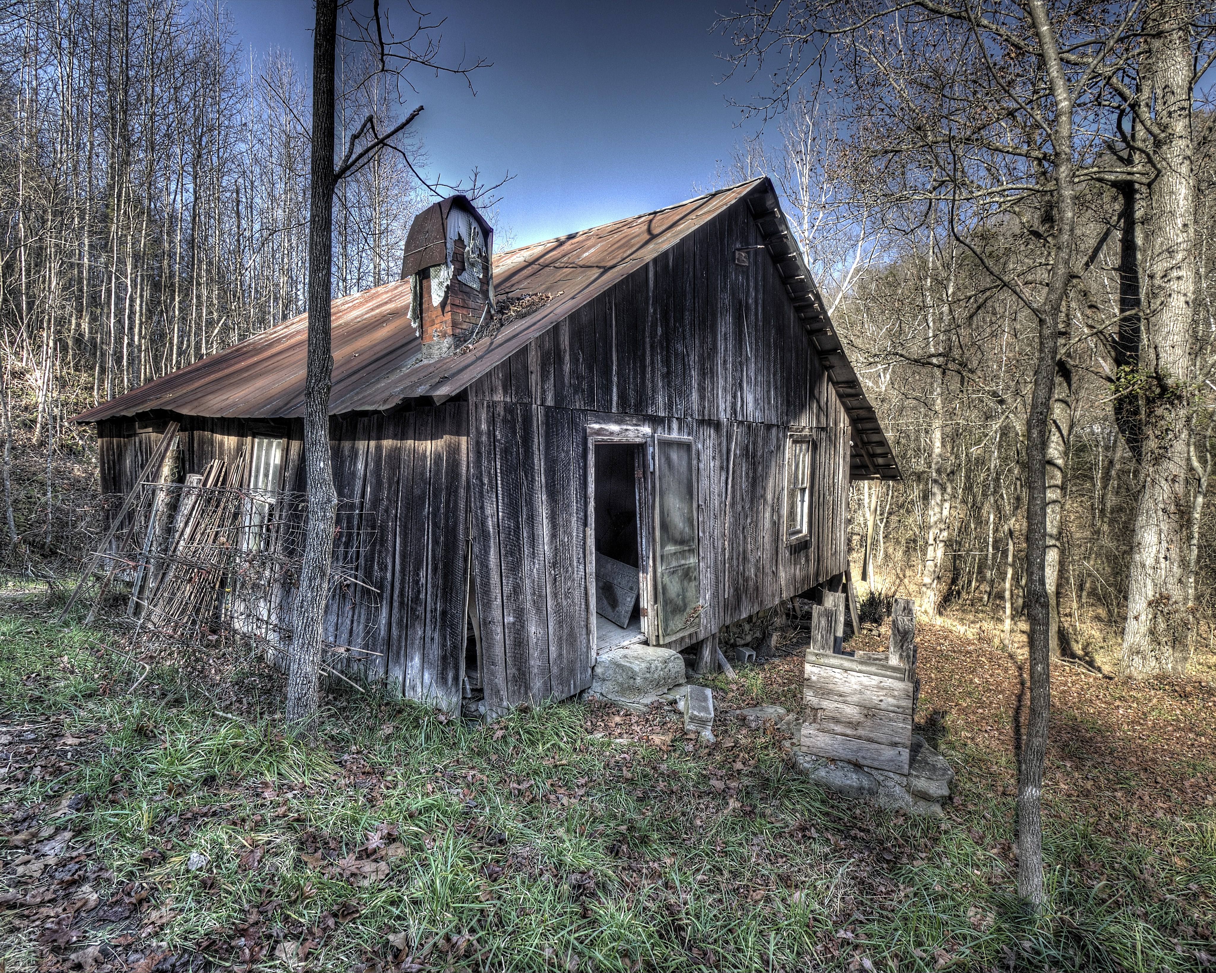
Abandoned house back view

Owsley County Tobacco Barn
Abandoned house Turners Creek
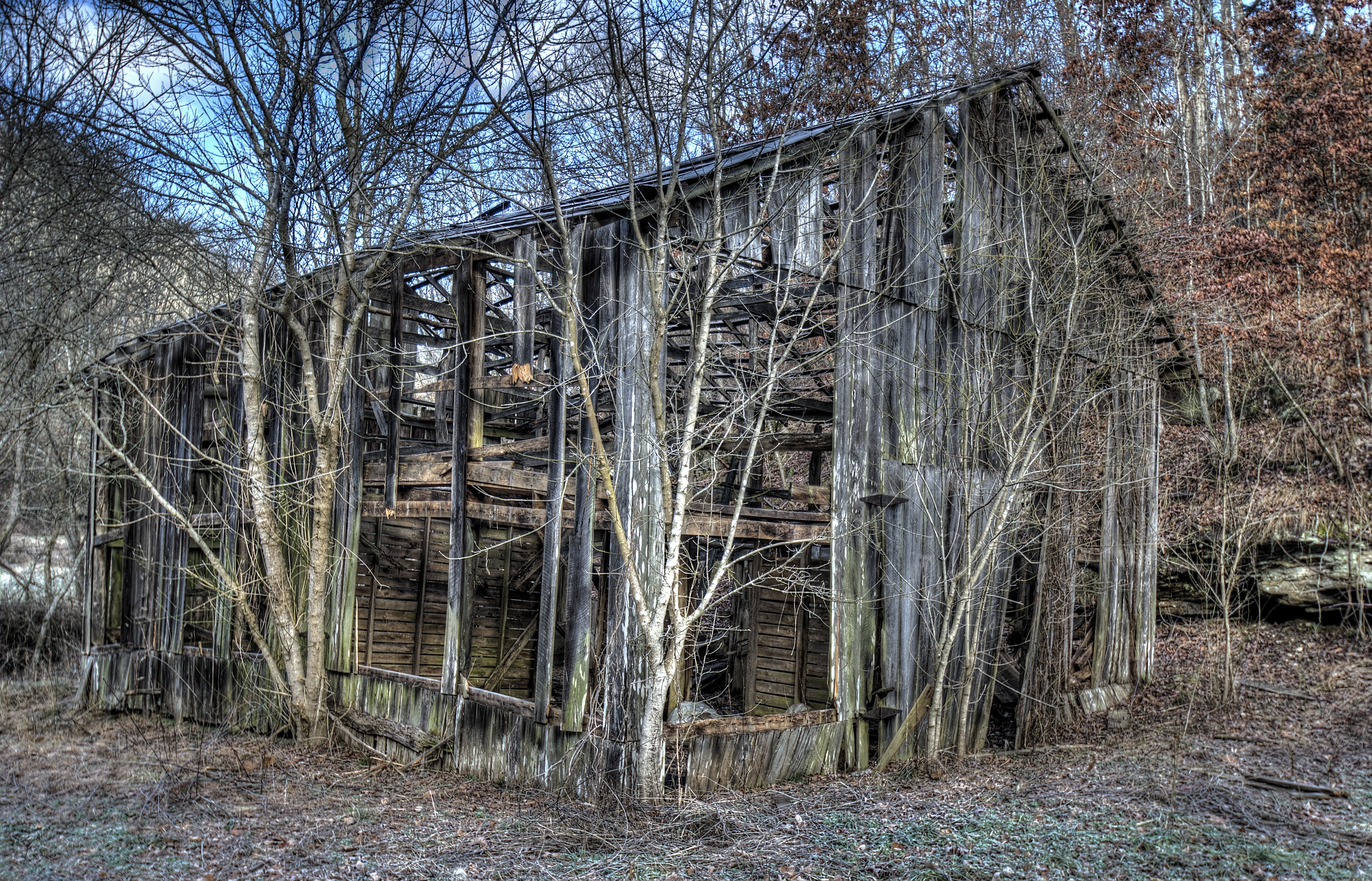
Turkey Creek Barn 3

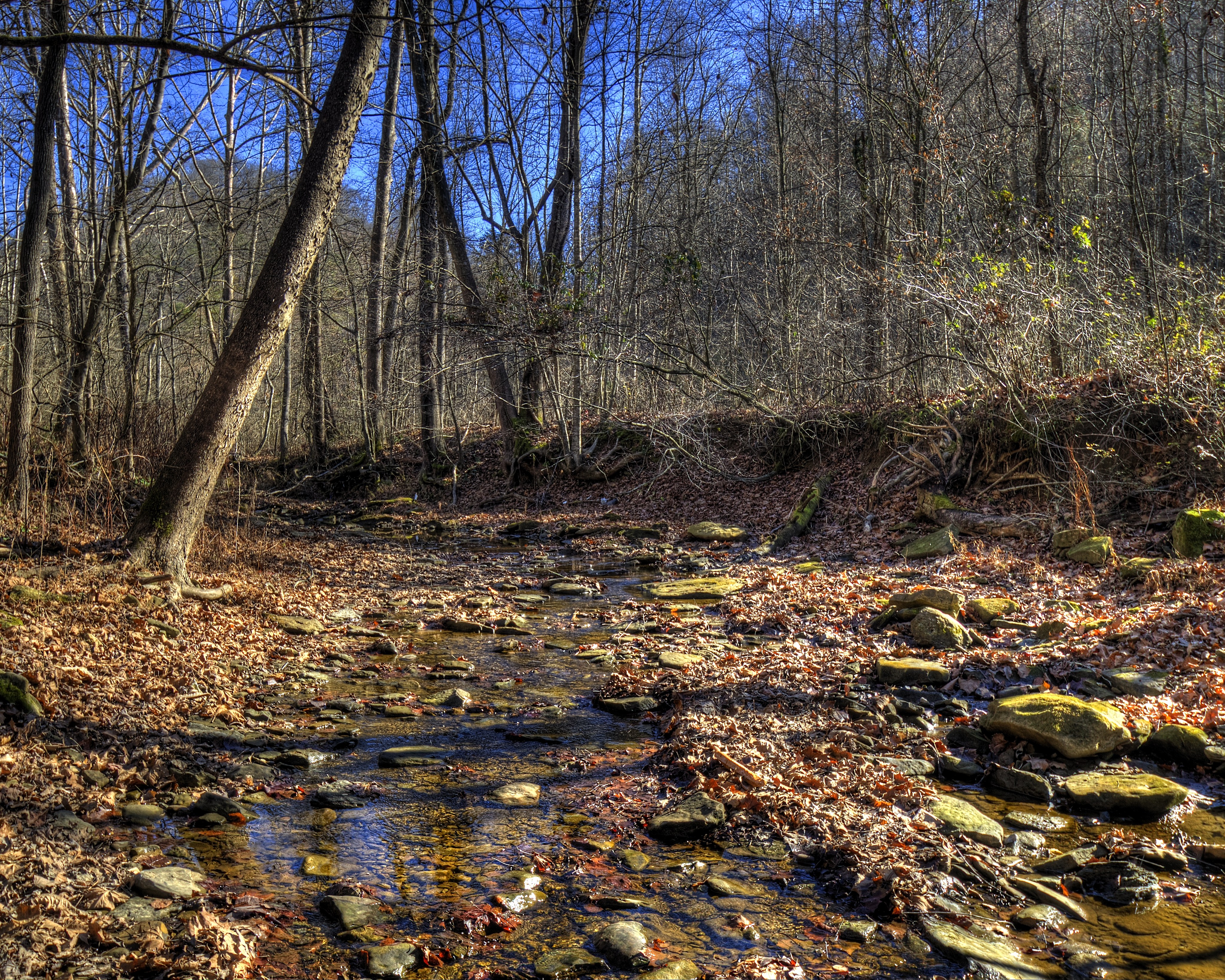
Turkey Creek
The Upstream Face

A Quiet Nook
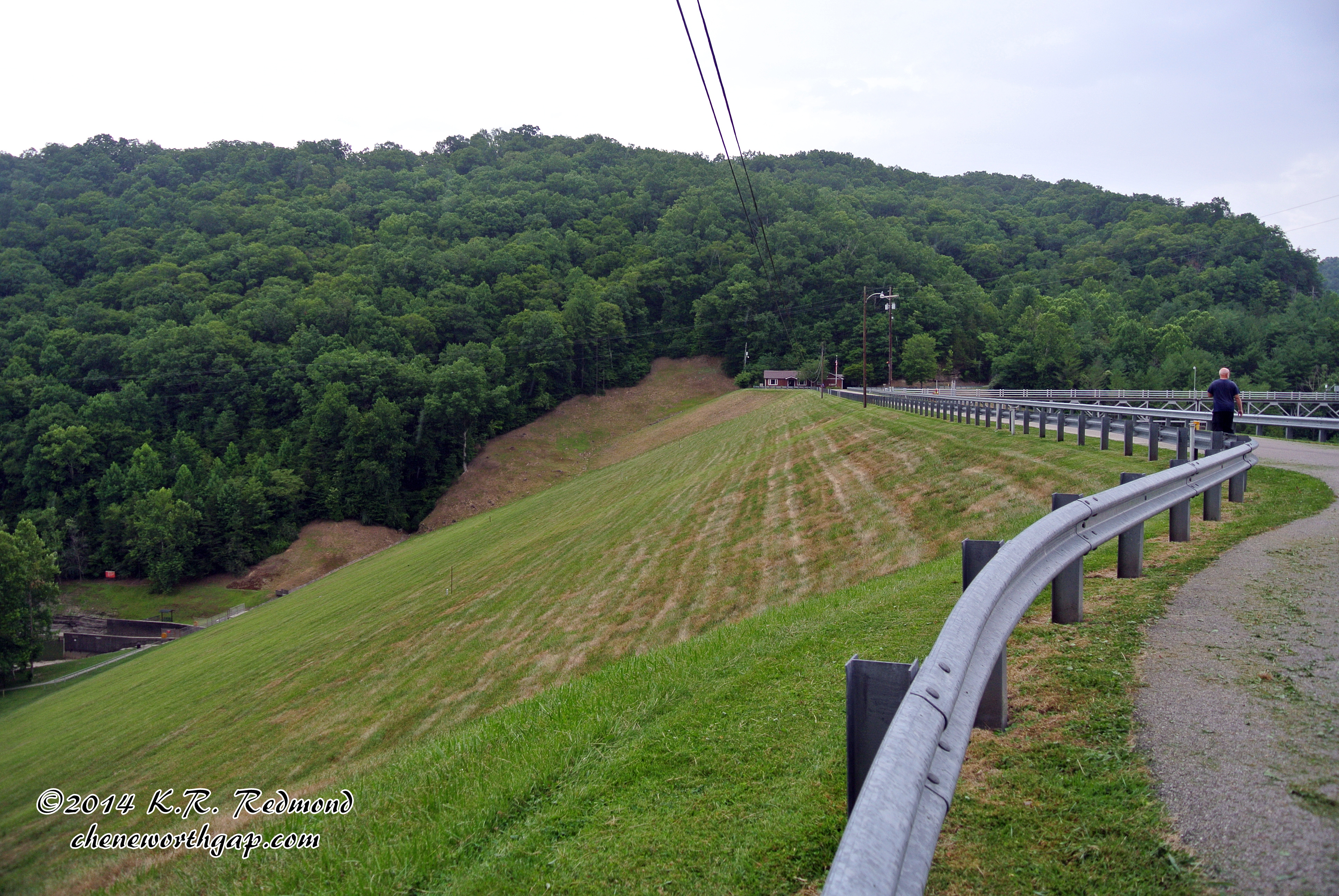
Downstream Face of Buckhorn Dam
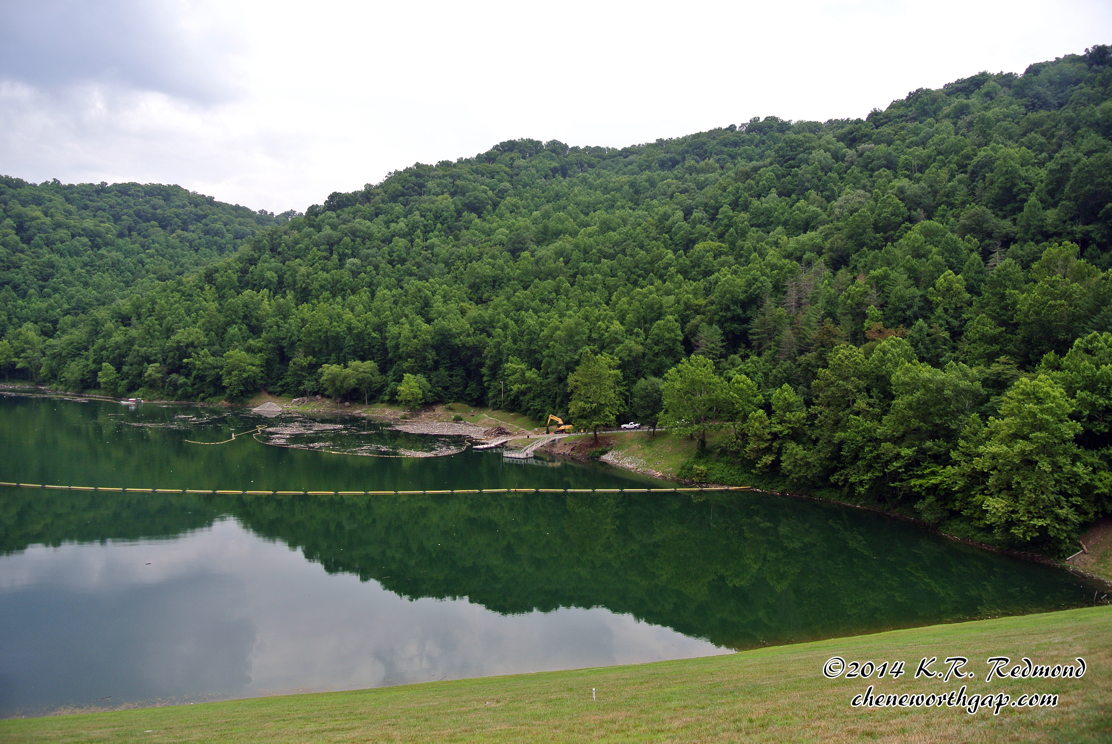
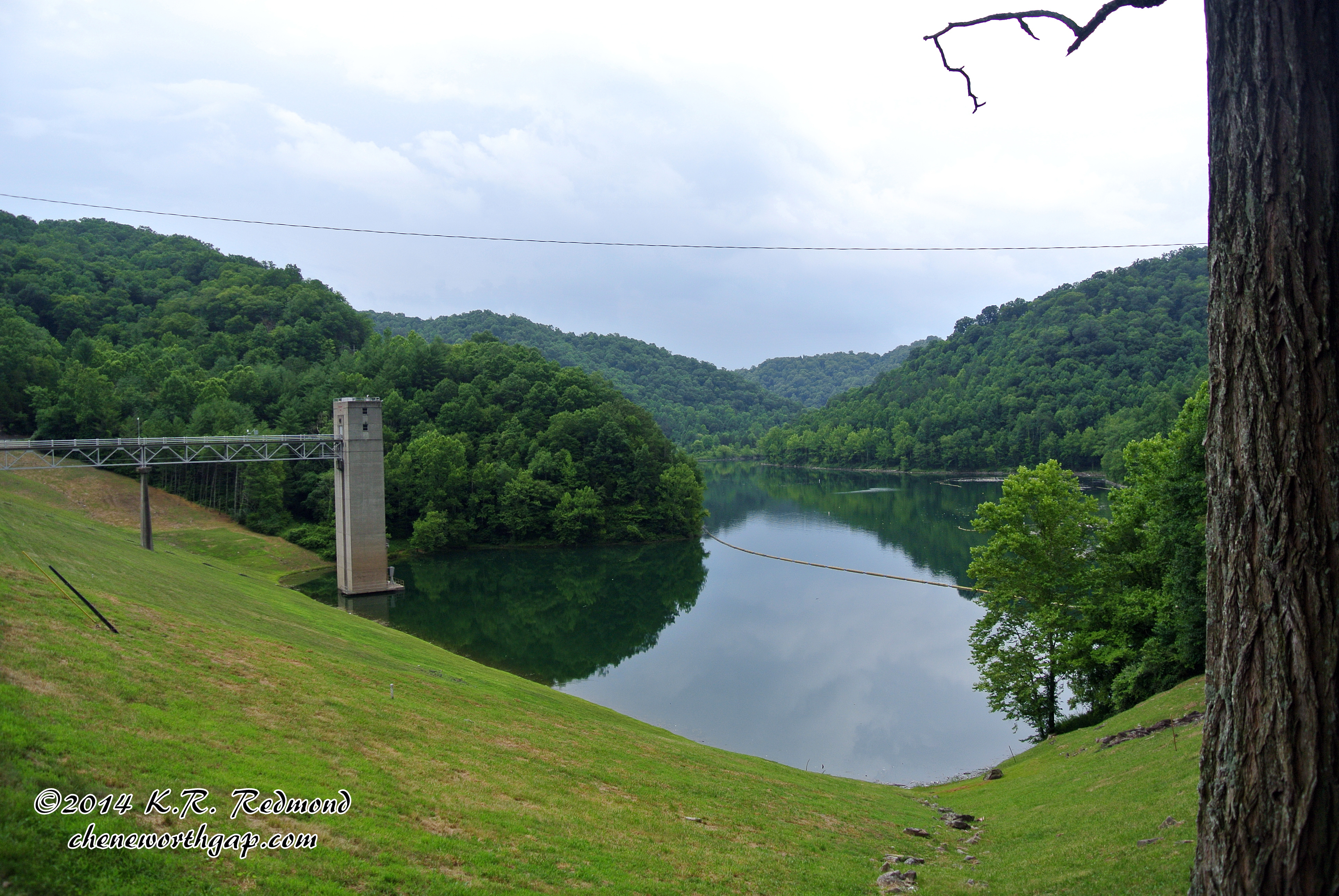
Buckhorn Lake
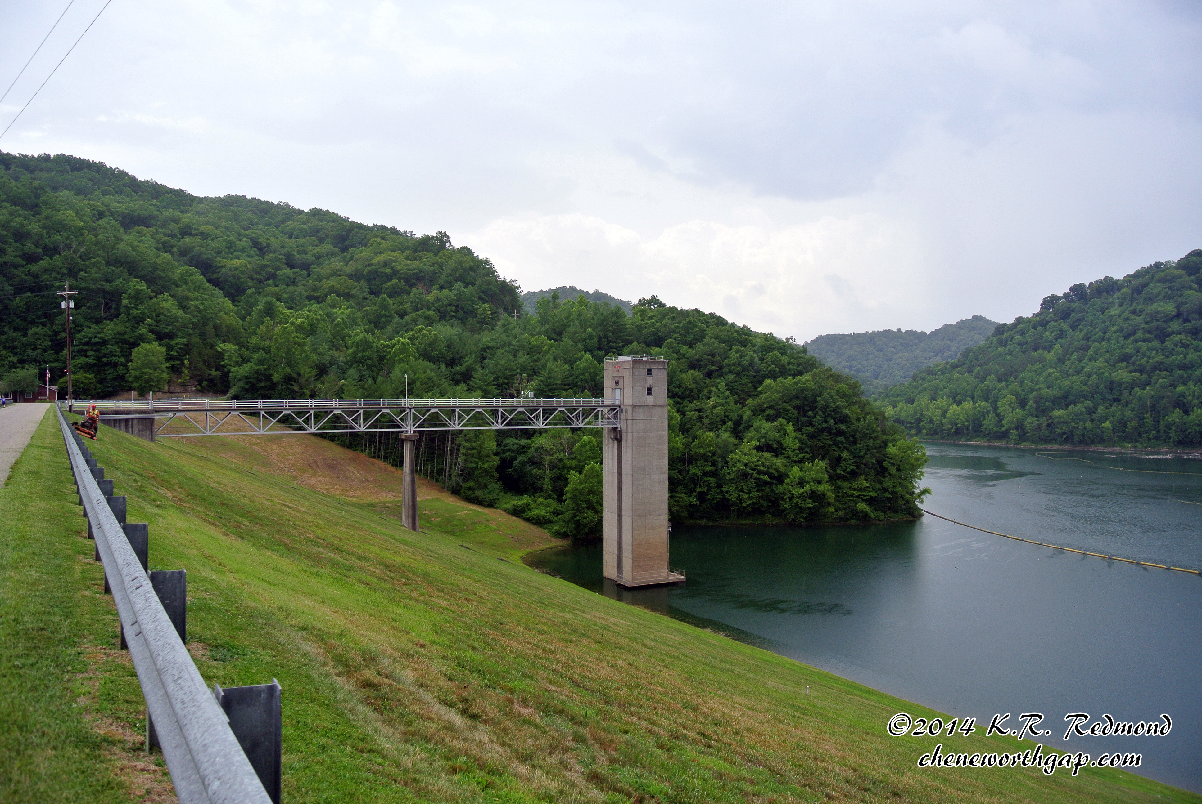
Upstream Face of Buckhorn Dam
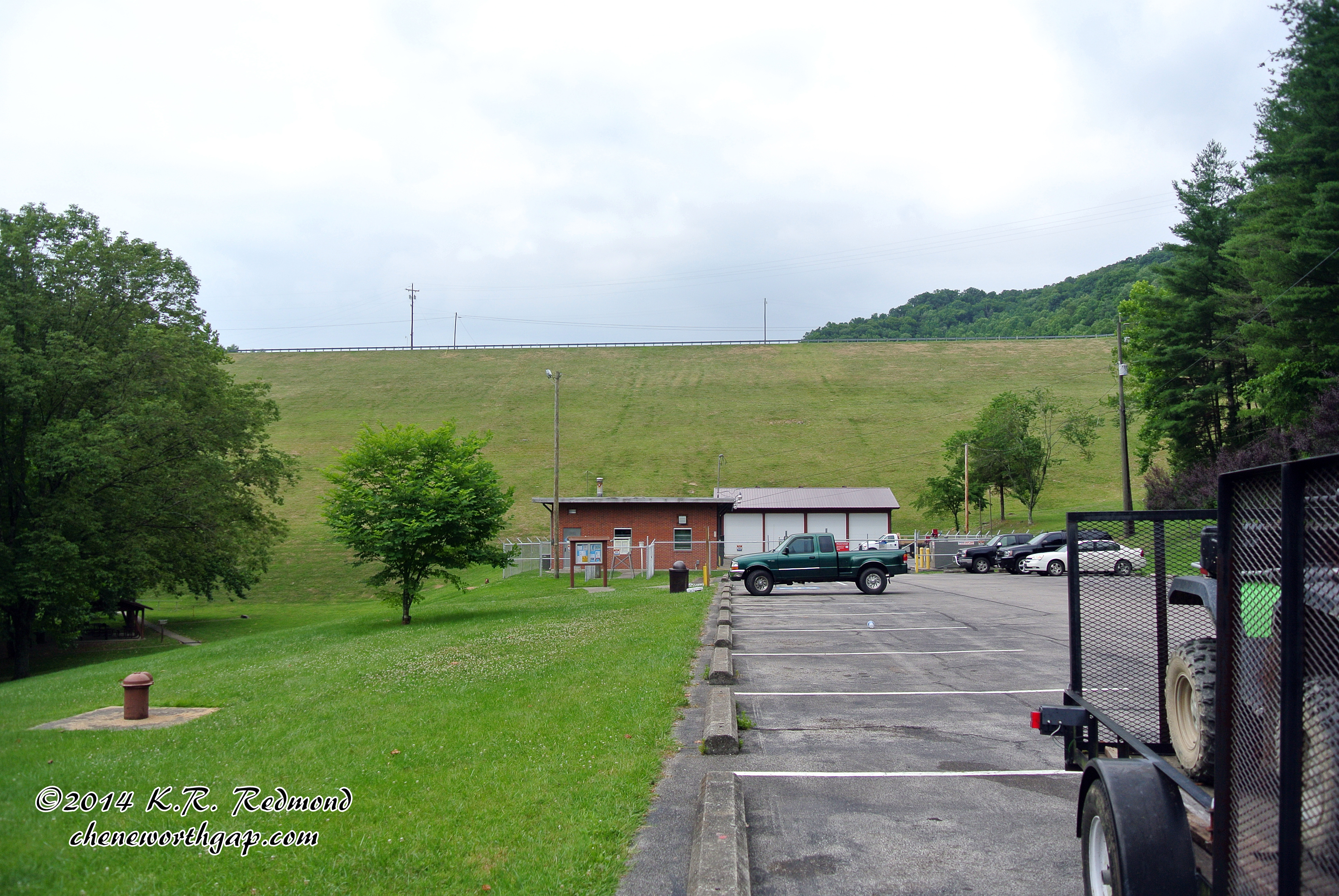
Buckhorn Dam
Topographic Map of State Highway, State Hwy, Kentucky, USA
Find elevation by address:

Places near State Highway, State Hwy, Kentucky, USA:
State Highway 1768
Ricetown
Booneville
KY-11, Booneville, KY, USA
Owsley County
Spencer Fork Road
Kentucky 28
State Hwy, Beattyville, KY, USA
Lower Buffalo Creek
North Buffalo Zion Road
Buckhorn
Highland-Big Rock Rd, Jackson, KY, USA
207 Gilliam Rd
Broadway, Beattyville, KY, USA
Beattyville
Oakdale
Oakdale Christian Academy
KY-, Beattyville, KY, USA
Crestmont Rd, Beattyville, KY, USA
Lee County
Recent Searches:
- Elevation of Corso Fratelli Cairoli, 35, Macerata MC, Italy
- Elevation of Tallevast Rd, Sarasota, FL, USA
- Elevation of 4th St E, Sonoma, CA, USA
- Elevation of Black Hollow Rd, Pennsdale, PA, USA
- Elevation of Oakland Ave, Williamsport, PA, USA
- Elevation of Pedrógão Grande, Portugal
- Elevation of Klee Dr, Martinsburg, WV, USA
- Elevation of Via Roma, Pieranica CR, Italy
- Elevation of Tavkvetili Mountain, Georgia
- Elevation of Hartfords Bluff Cir, Mt Pleasant, SC, USA