Elevation of Starogard County, Poland
Location: Poland > Pomeranian Voivodeship >
Longitude: 18.3428483
Latitude: 53.8589184
Elevation: 107m / 351feet
Barometric Pressure: 100KPa
Elevation Map:
Satellite Map:
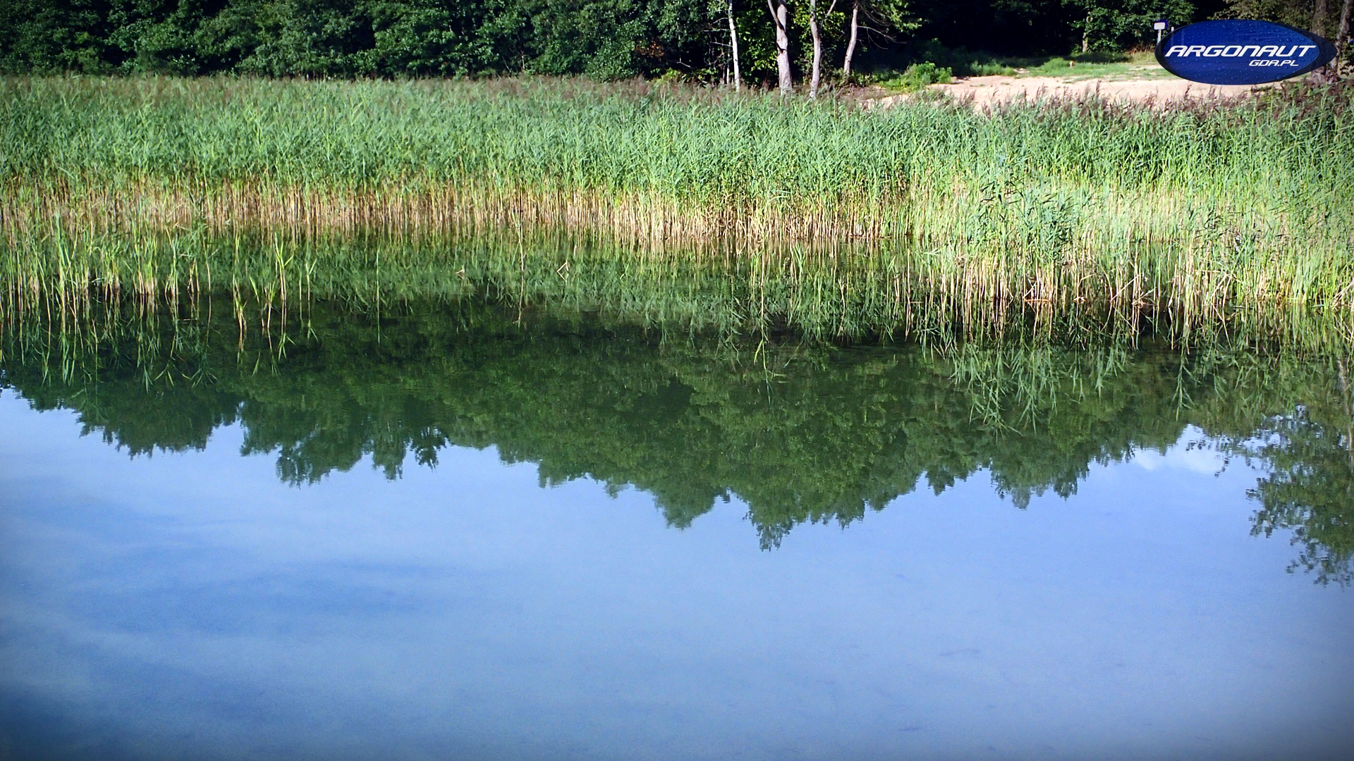
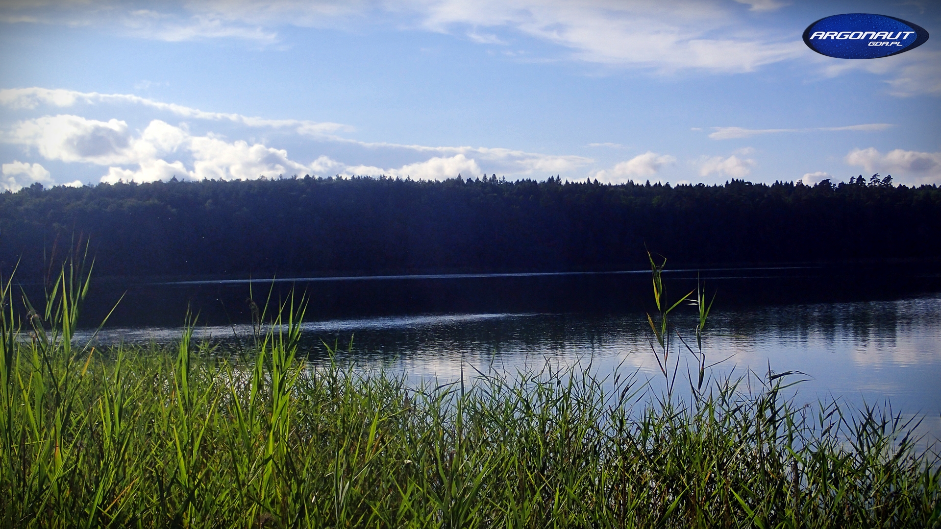
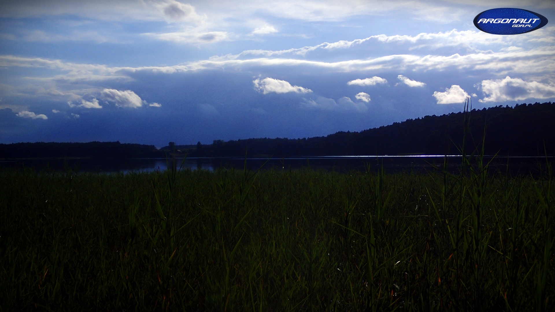
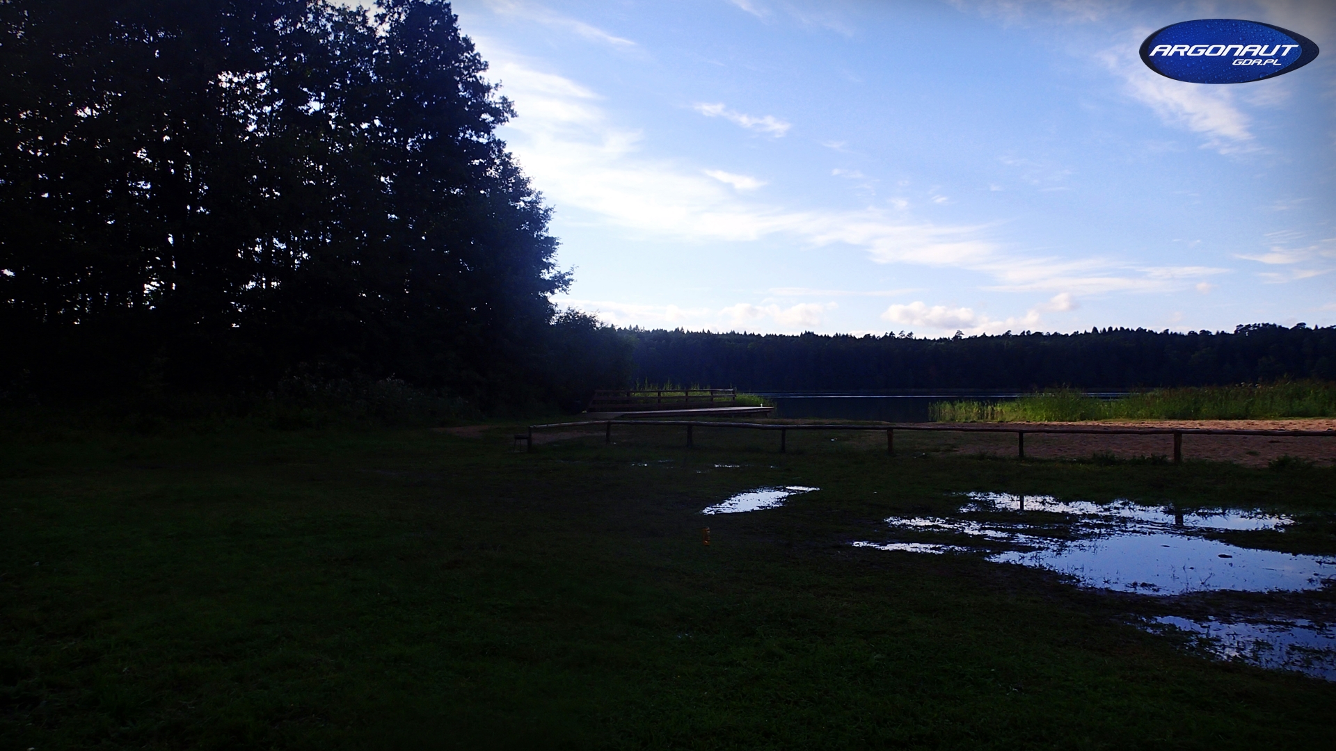
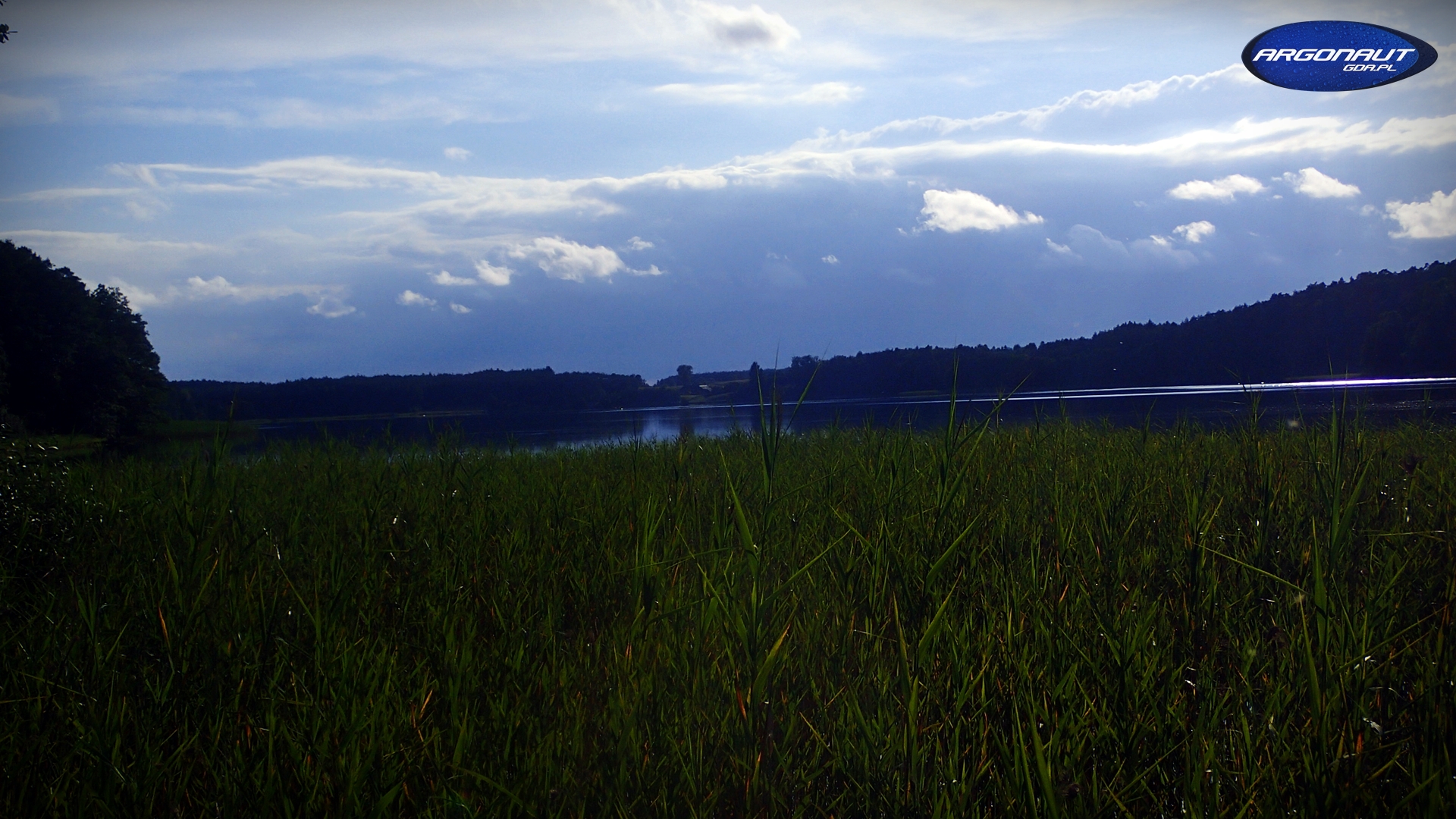
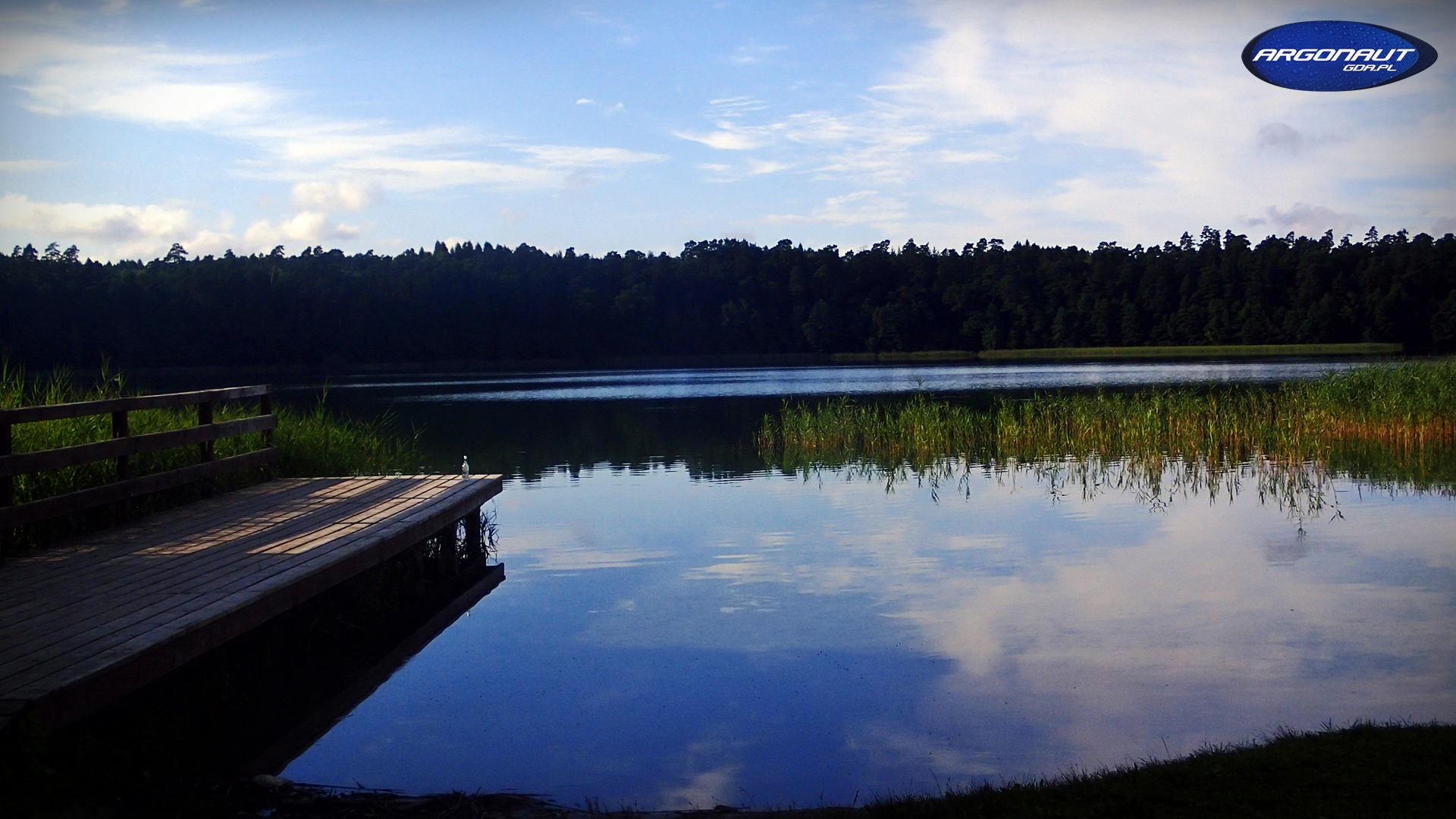
Related Photos:
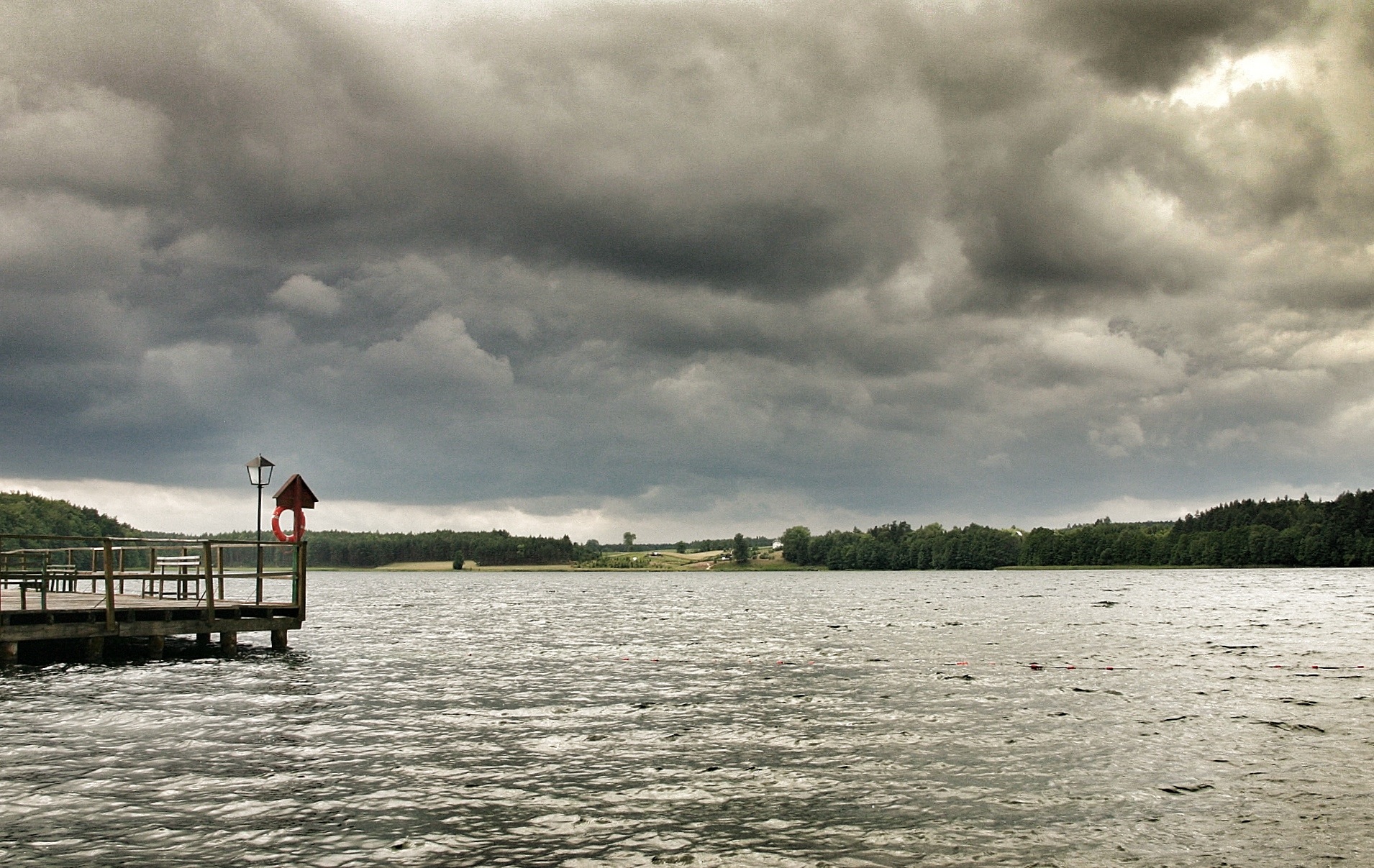
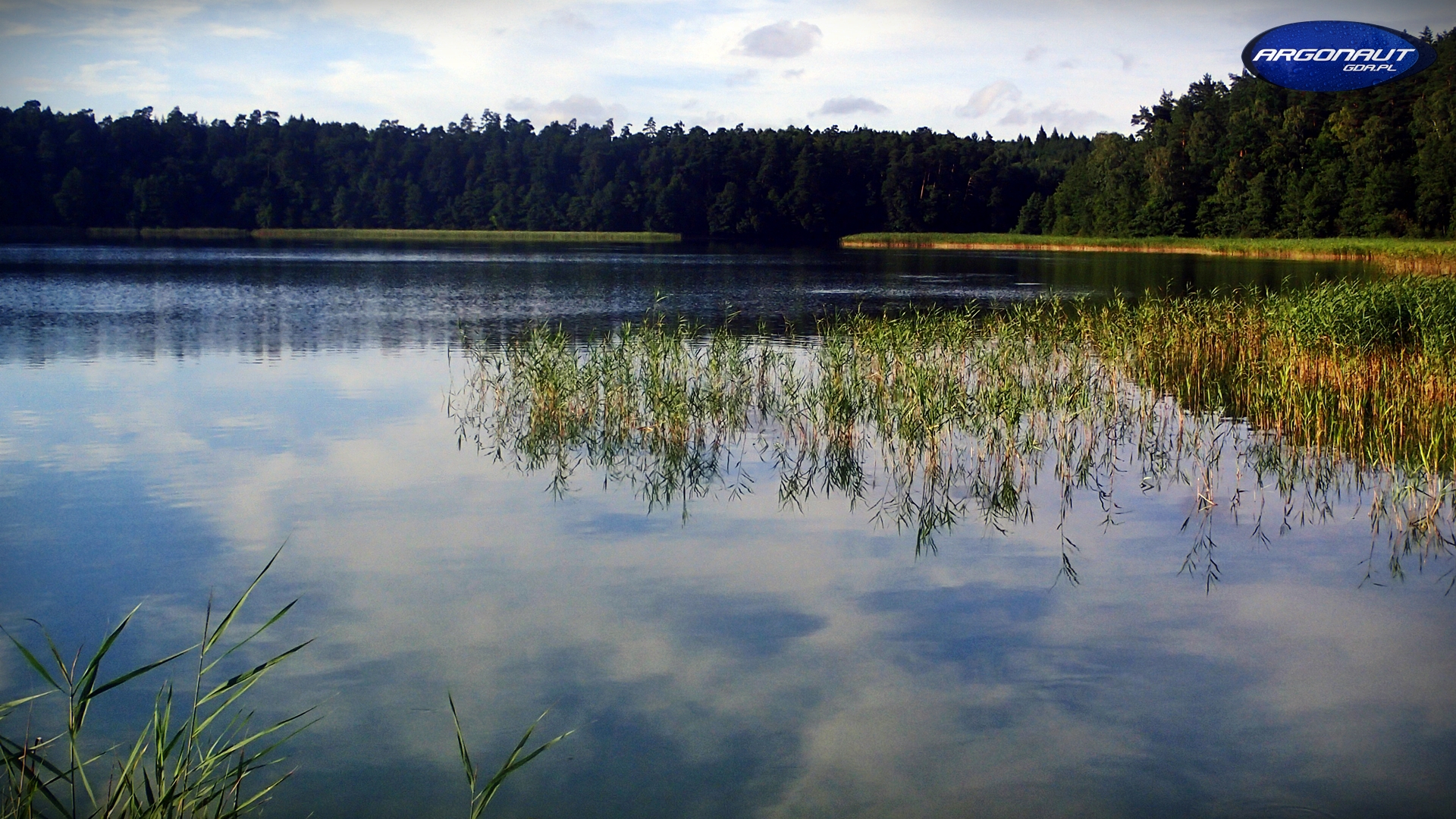
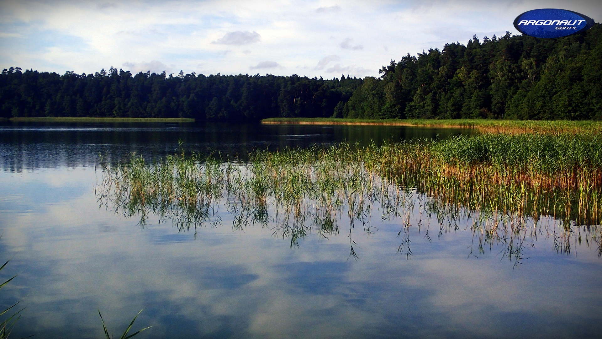
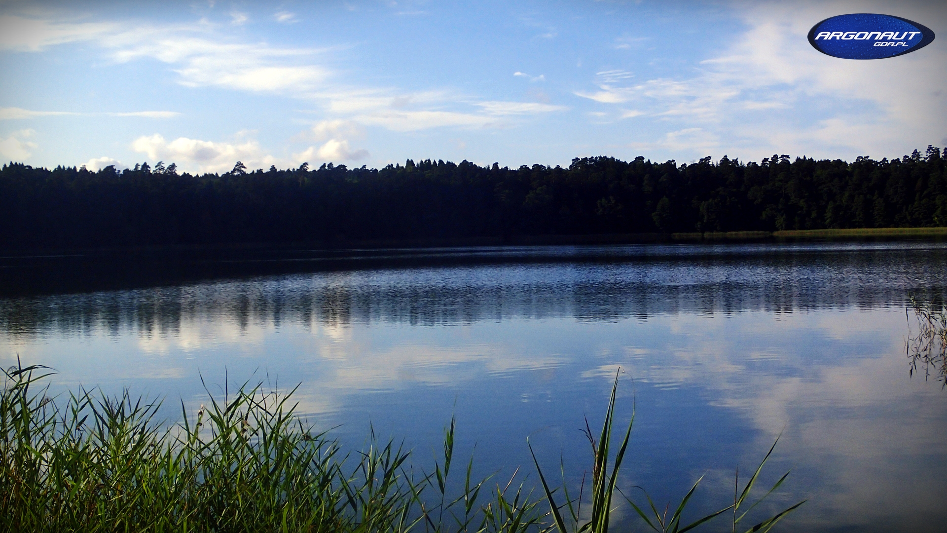
Lake before rain

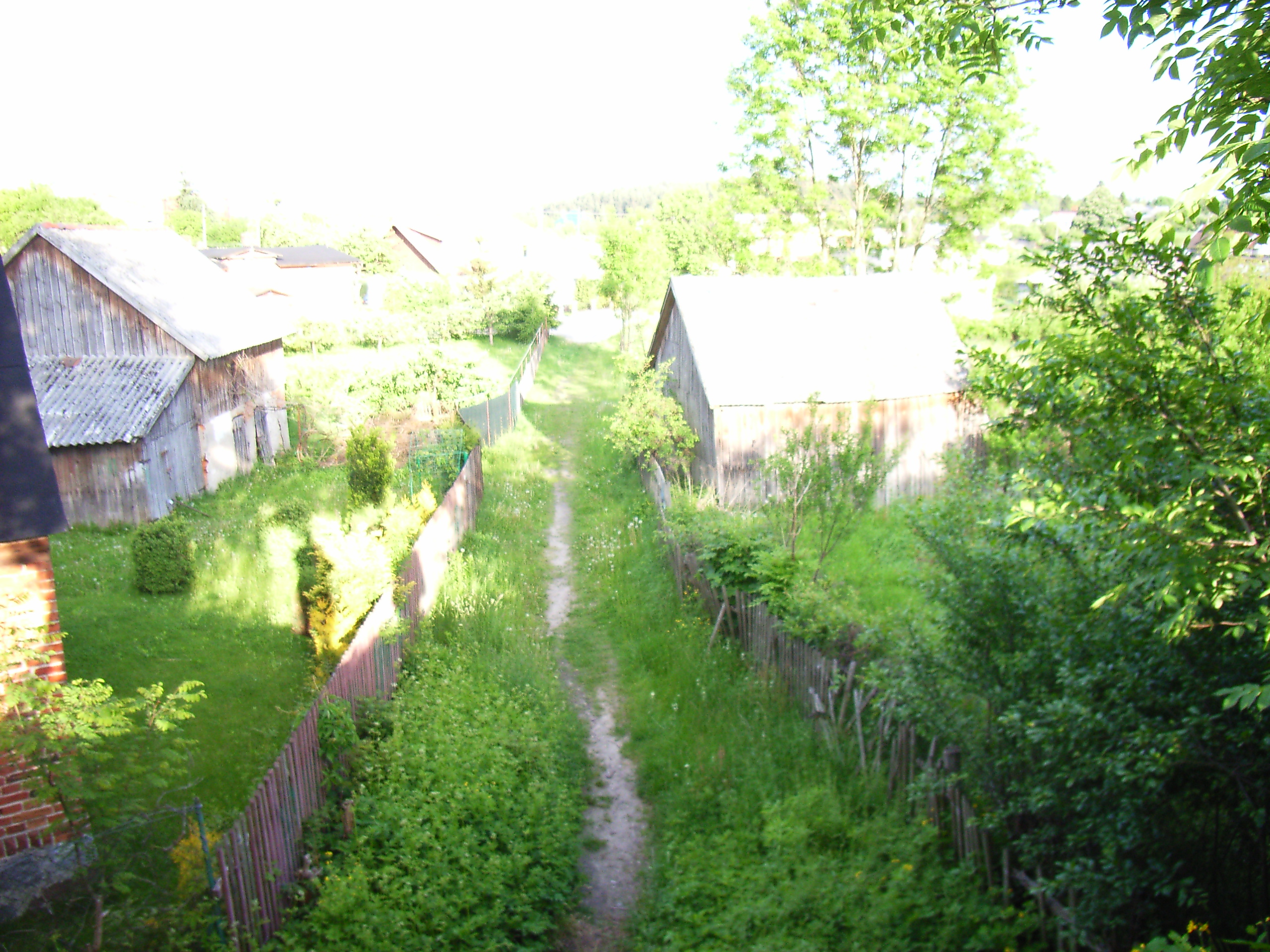
Dirt road between the old trees

#tracks #rail #clouds #rust

3 (23)
3 (30)
3 (24)
3 (28)
3 (26)
3 (16)
3 (21)
3 (20)
3 (29)
Borzechowo, Polen

Wda River, Kociewie, Poland
PL2001-02-59
3 (19)
3 (25)
3 (27)
Topographic Map of Starogard County, Poland
Find elevation by address:

Places in Starogard County, Poland:
Places near Starogard County, Poland:
Skarszewy
Gmina Skarszewy
Gdańsk County
Straszyn
Grudziadz
Stefana Batorego 37
Gdańsk
Gdańsk
Aleja Jana Pawła Ii 50
Adama Mickiewicza 61
Adama Mickiewicza 29
Sopot
Sopot
Gdynia
Malbork County
Mosty
Rewa
Unnamed Road
Gmina Stare Pole
Elblag
Recent Searches:
- Elevation of Corso Fratelli Cairoli, 35, Macerata MC, Italy
- Elevation of Tallevast Rd, Sarasota, FL, USA
- Elevation of 4th St E, Sonoma, CA, USA
- Elevation of Black Hollow Rd, Pennsdale, PA, USA
- Elevation of Oakland Ave, Williamsport, PA, USA
- Elevation of Pedrógão Grande, Portugal
- Elevation of Klee Dr, Martinsburg, WV, USA
- Elevation of Via Roma, Pieranica CR, Italy
- Elevation of Tavkvetili Mountain, Georgia
- Elevation of Hartfords Bluff Cir, Mt Pleasant, SC, USA