Elevation of Gdańsk County, Poland
Location: Poland > Pomeranian Voivodeship >
Longitude: 18.5707092
Latitude: 54.183493
Elevation: 67m / 220feet
Barometric Pressure: 101KPa
Elevation Map:
Satellite Map:
Related Photos:

Road to Light

Kościół św. Wojciecha

Zbiornik Augustowska

Looking at the city

Drzewo na biało

Wiosenny krajobraz

Zbiornik retencyjny

_DSC0020.jpg

Zbiornik Świętokrzyska I

Jezioro Straszyńskie

Bąkowo

Jezioro Straszyńskie

Tęcza
Jesień

Malbork castle

Malbork castle

Malbork castle

Malbork castle

|||

Morning mist

Just a moment Love

solar perspective

From green to yellow

Polish Nature...

Księżycowy krajobraz

Księżycowy krajobraz

_DSC0021.jpg

Formation in Slate Black

Fire in the sky

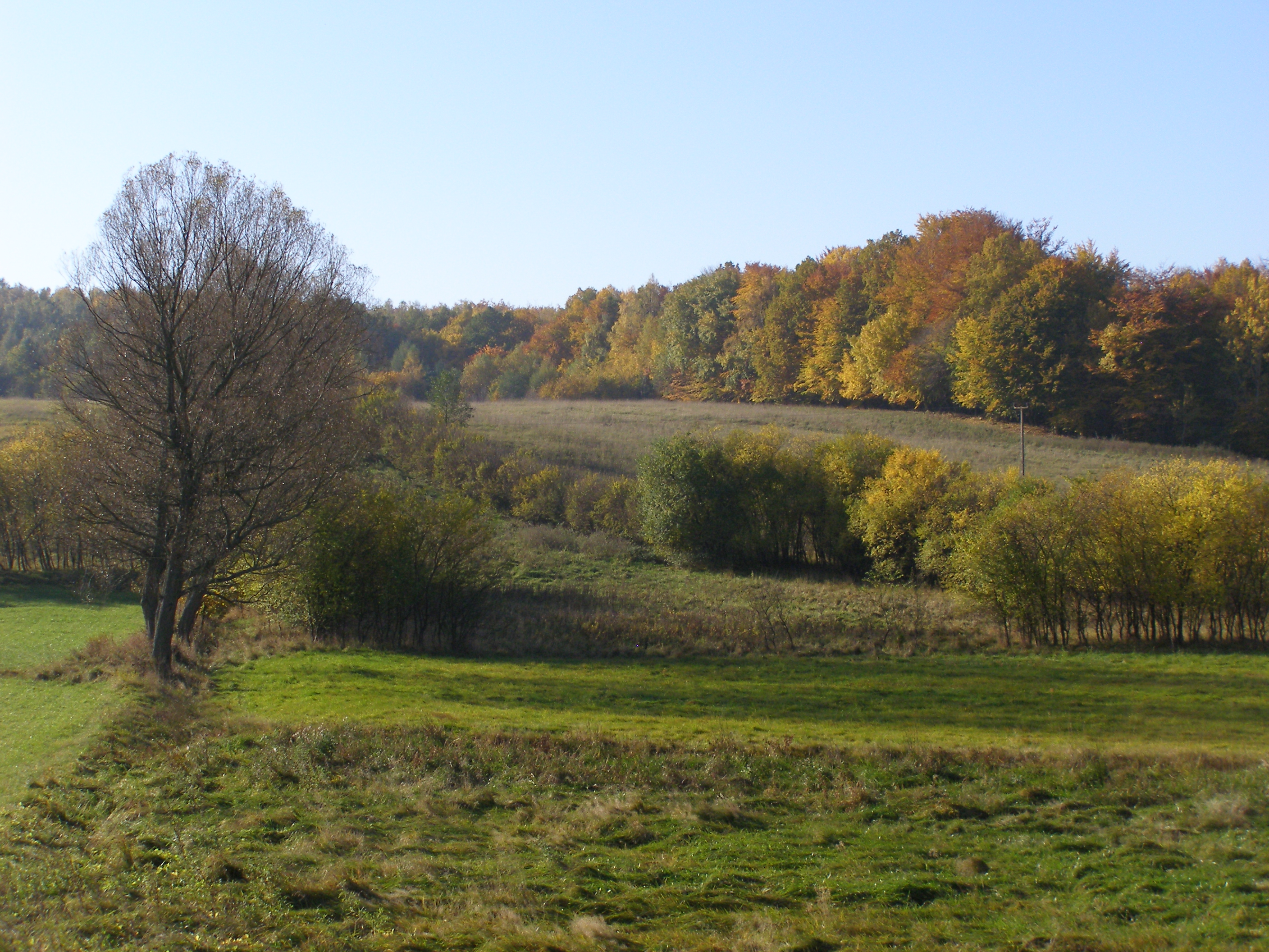
Willow on the edge of the fields
Topographic Map of Gdańsk County, Poland
Find elevation by address:

Places in Gdańsk County, Poland:
Places near Gdańsk County, Poland:
Straszyn
Gmina Skarszewy
Skarszewy
Gdańsk
Stefana Batorego 37
Gdańsk
Aleja Jana Pawła Ii 50
Adama Mickiewicza 29
Adama Mickiewicza 61
Sopot
Sopot
Gdynia
Starogard County
Mosty
Rewa
Malbork County
Unnamed Road
Gmina Stare Pole
Grudziadz
Elblag
Recent Searches:
- Elevation of Corso Fratelli Cairoli, 35, Macerata MC, Italy
- Elevation of Tallevast Rd, Sarasota, FL, USA
- Elevation of 4th St E, Sonoma, CA, USA
- Elevation of Black Hollow Rd, Pennsdale, PA, USA
- Elevation of Oakland Ave, Williamsport, PA, USA
- Elevation of Pedrógão Grande, Portugal
- Elevation of Klee Dr, Martinsburg, WV, USA
- Elevation of Via Roma, Pieranica CR, Italy
- Elevation of Tavkvetili Mountain, Georgia
- Elevation of Hartfords Bluff Cir, Mt Pleasant, SC, USA