Elevation of St. Augustine, FL, USA
Location: United States > Florida > St. Johns County > St. Augustine >
Longitude: -81.416909
Latitude: 30.0056435
Elevation: 11m / 36feet
Barometric Pressure: 101KPa
Elevation Map:
Satellite Map:
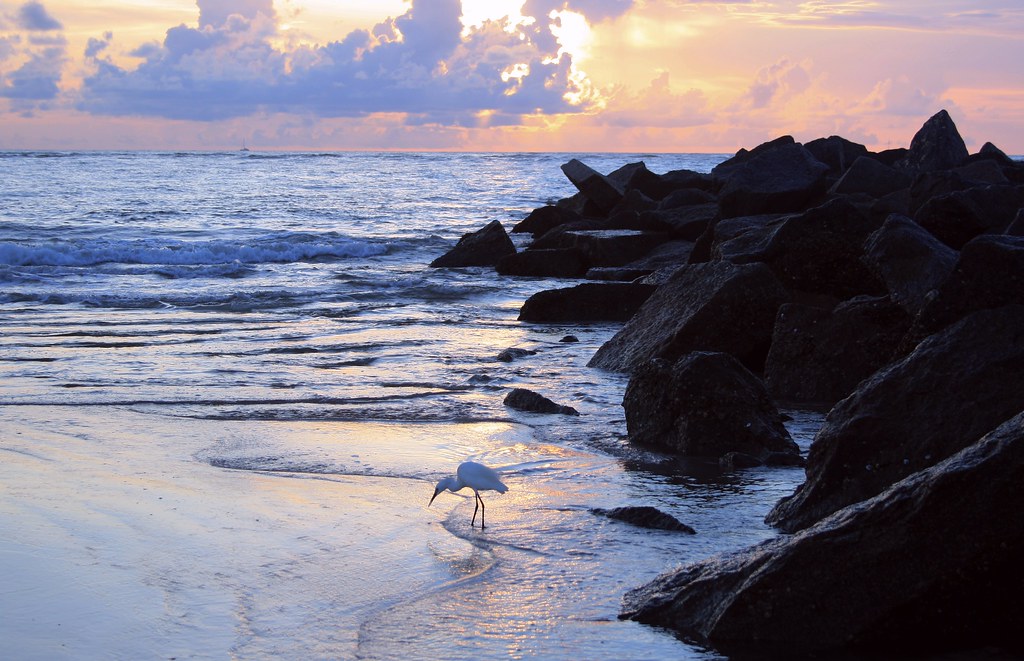
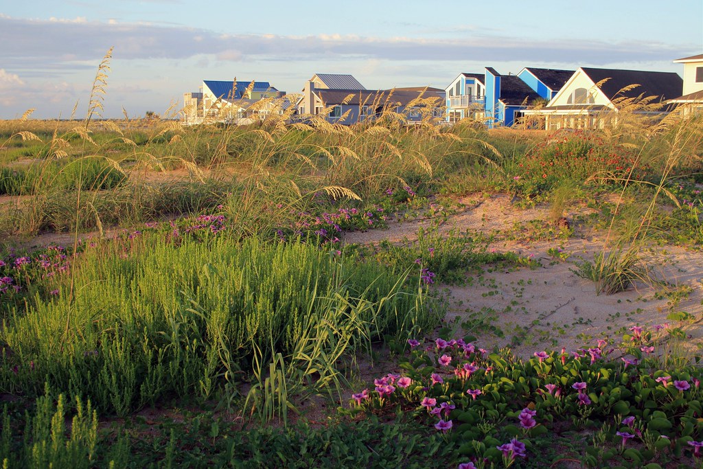
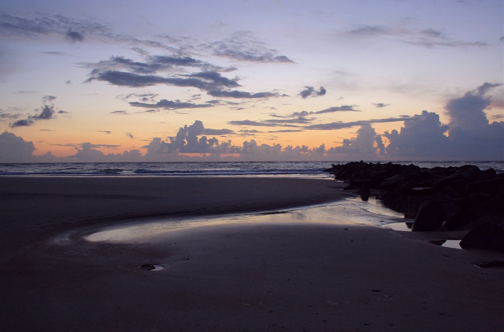
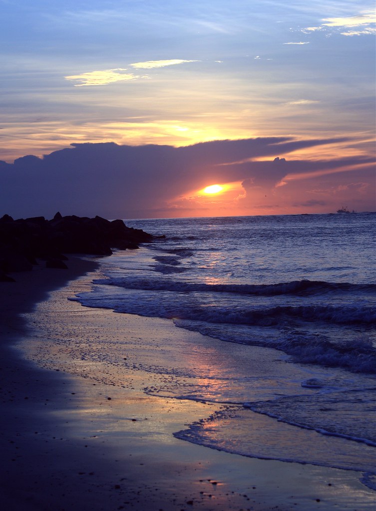
Related Photos:

Wave Sets Rolling In

Glass Sand
Sea Snow

I Fought the Fog and the Fog Won

First Peek

Water Field

Moody Blues
Beach Dunes

Avenida Menendez

Walk the Dog
Sculpted Sand

Fish On

High Beams

Morning Beach Walk

Nature's Paintbrush

Blue Mirror

The Sunrise Photographer

Light Fishing

Life's A Beach

Grandma's Spot Every Sunrise

St Augustine Afire?

Window Shelf
Blue Surf

Drama Queen

Fly By

Dream of the Sea

Soft Sand

Wavetip-Light

Sea-Scape Beauty

Rise and Shine

Beach Sunrise

Surf Fishing
Topographic Map of St. Augustine, FL, USA
Find elevation by address:

Places near St. Augustine, FL, USA:
412 Emslie Terrace
231 Holland Dr
829 Ifield Rd
1212 Redcliffe Ln
175 Lakefront Ln
1220 Redcliffe Ln
Saint Marks Pond Boulevard
180 Calle El Jardin
220 Paseo Terraza
220 Paseo Terraza
220 Paseo Terraza Unit 202
1335 Powis Rd
592 Battersea Dr
486 Los Caminos Street
486 Los Caminos Street
486 Los Caminos Street
486 Los Caminos Street
486 Los Caminos Street
486 Los Caminos Street
486 Los Caminos Street
Recent Searches:
- Elevation of Corso Fratelli Cairoli, 35, Macerata MC, Italy
- Elevation of Tallevast Rd, Sarasota, FL, USA
- Elevation of 4th St E, Sonoma, CA, USA
- Elevation of Black Hollow Rd, Pennsdale, PA, USA
- Elevation of Oakland Ave, Williamsport, PA, USA
- Elevation of Pedrógão Grande, Portugal
- Elevation of Klee Dr, Martinsburg, WV, USA
- Elevation of Via Roma, Pieranica CR, Italy
- Elevation of Tavkvetili Mountain, Georgia
- Elevation of Hartfords Bluff Cir, Mt Pleasant, SC, USA