Elevation of Springs, PA, USA
| Latitude | 39.7336926 |
|---|---|
| Longitude | -79.1491959 |
| Elevation | 753m / 2470feet |
| Barometric Pressure | 926KPa |
Related Photos:

View from a Scenic Overlook on Garrett Highway (Route 219)

New Germany State Park

Mt. Davis PA ~ observation tower

New Germany SP

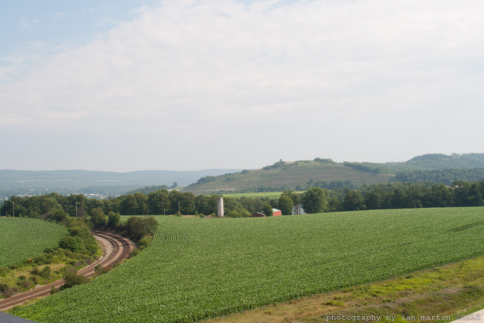
Farms and Mountains, a Panoramic View in Garrett County, Western Maryland

Q26114 - Meyersdale, PA

Meyersdale, Pennsylvania - CSX view from High Street - October 28, 2021 (1)

Meyersdale, Pennsylvania - Main Street View - October 28, 2021 (1)

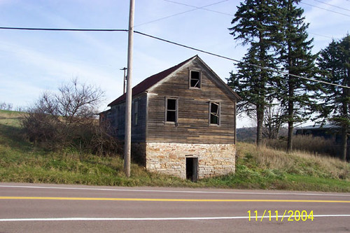
Mansard

Garrett View

Casselman River

Pinkerton Tunnel Viaduct

Thomas Johnson Farmhouse
Thomas Johnson Shed
Salisbury View

Old Johnson Barn

View from Salisbury Viaduct
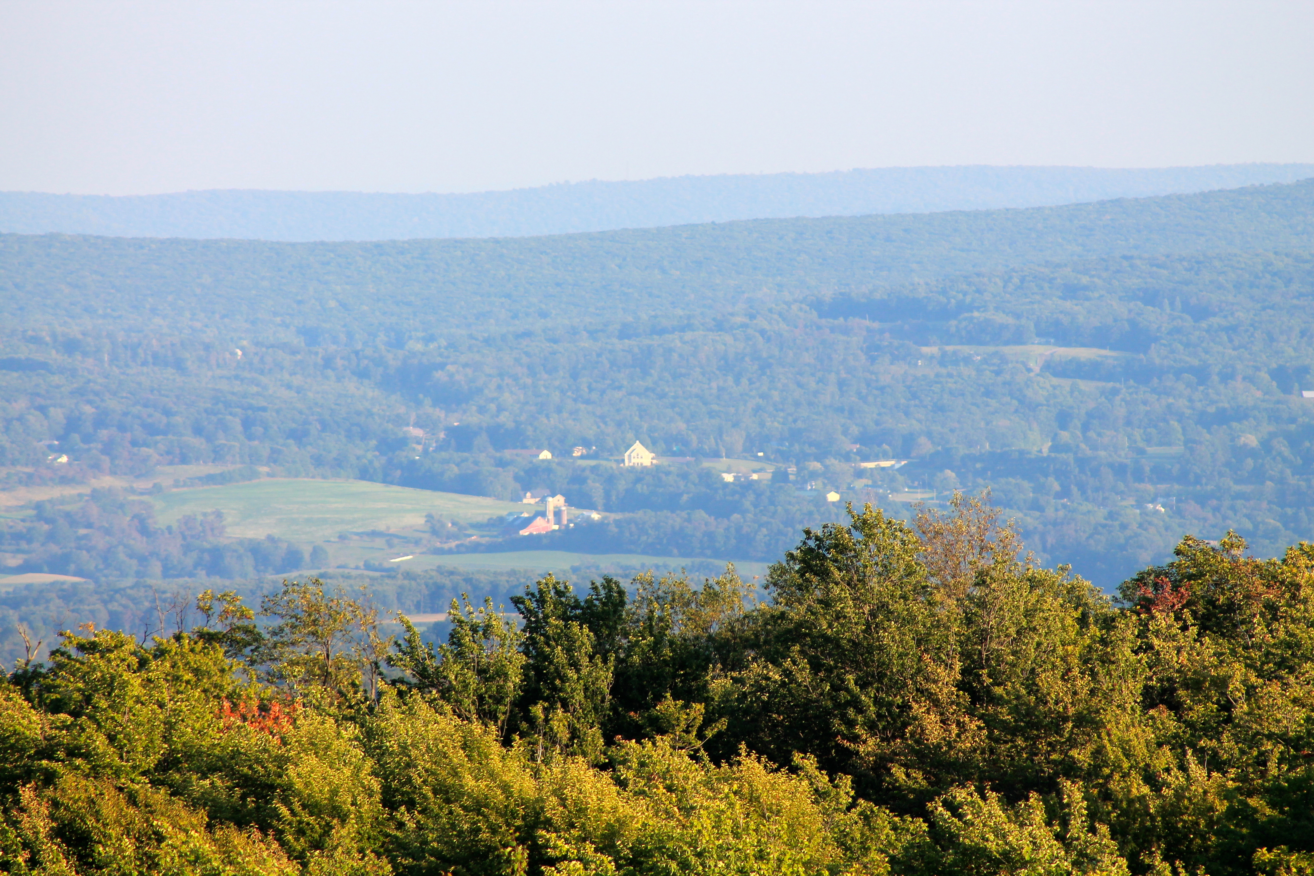
View SE from Mt. Davis Fire Tower

West approach to Casselman River Bridge

Quite The View

Our View
Topographic Map of Springs, PA, USA
Find elevation by address:
Places near Springs, PA, USA:
664 Niverton Rd
Niverton Rd, Salisbury, PA, USA
Elk Lick Township
Negro Mountain
Mount Davis
Mount Davis Observation Tower
Deer Valley Road
1923 Mt Davis Rd
Boardman Ridge
Mcclintock Run
Addison Township
Addison Township
Addison Township
Addison Township
Addison Township
Whites Creek Rd, Confluence, PA, USA
293 Sechler Rd
Fort Hill
St John St, Rockwood, PA, USA
Casselman
Recent Searches:
- Elevation of 104, Chancery Road, Middletown Township, Bucks County, Pennsylvania, 19047, USA
- Elevation of 1212, Cypress Lane, Dayton, Liberty County, Texas, 77535, USA
- Elevation map of Central Hungary, Hungary
- Elevation map of Pest, Central Hungary, Hungary
- Elevation of Pilisszentkereszt, Pest, Central Hungary, Hungary
- Elevation of Dharamkot Tahsil, Punjab, India
- Elevation of Bhinder Khurd, Dharamkot Tahsil, Punjab, India
- Elevation of 2881, Chabot Drive, San Bruno, San Mateo County, California, 94066, USA
- Elevation of 10370, West 107th Circle, Westminster, Jefferson County, Colorado, 80021, USA
- Elevation of 611, Roman Road, Old Ford, Bow, London, England, E3 2RW, United Kingdom
- Elevation of 116, Beartown Road, Underhill, Chittenden County, Vermont, 05489, USA
- Elevation of Window Rock, Colfax County, New Mexico, 87714, USA
- Elevation of 4807, Rosecroft Street, Kempsville Gardens, Virginia Beach, Virginia, 23464, USA
- Elevation map of Matawinie, Quebec, Canada
- Elevation of Sainte-Émélie-de-l'Énergie, Matawinie, Quebec, Canada
- Elevation of Rue du Pont, Sainte-Émélie-de-l'Énergie, Matawinie, Quebec, J0K2K0, Canada
- Elevation of 8, Rue de Bécancour, Blainville, Thérèse-De Blainville, Quebec, J7B1N2, Canada
- Elevation of Wilmot Court North, 163, University Avenue West, Northdale, Waterloo, Region of Waterloo, Ontario, N2L6B6, Canada
- Elevation map of Panamá Province, Panama
- Elevation of Balboa, Panamá Province, Panama