Elevation of Boardman Ridge, Addison Township, PA, USA
| Latitude | 39.7630555 |
|---|---|
| Longitude | -79.2477777 |
| Elevation | 921m / 3022feet |
| Barometric Pressure | 907KPa |
Related Photos:

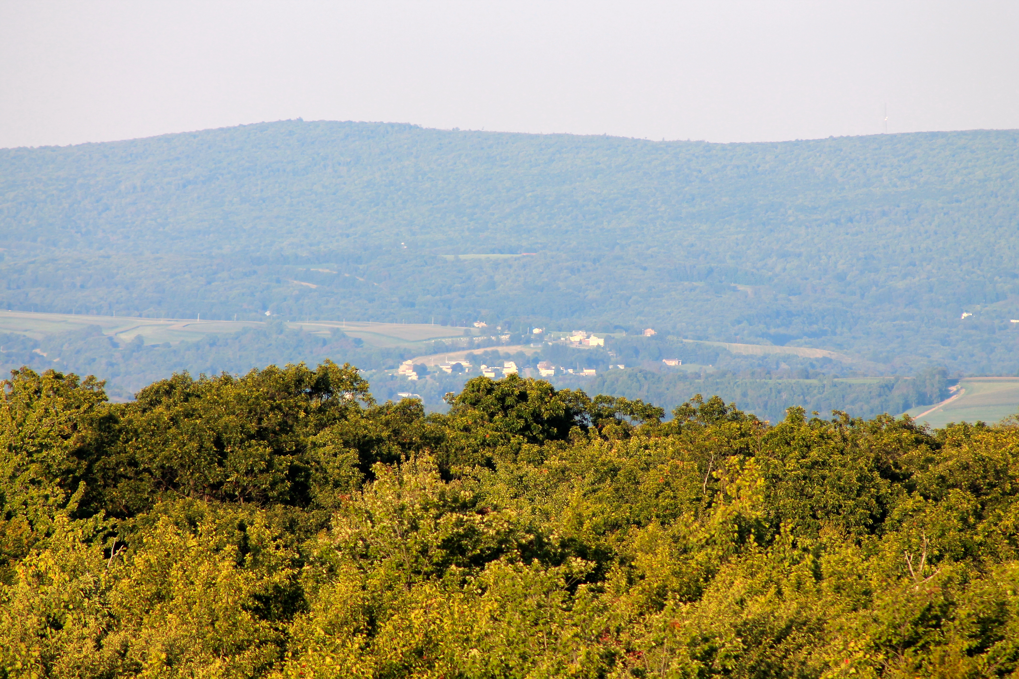
View east from Mt. Davis Fire Tower
View NE from Mt. Davis Fire Tower
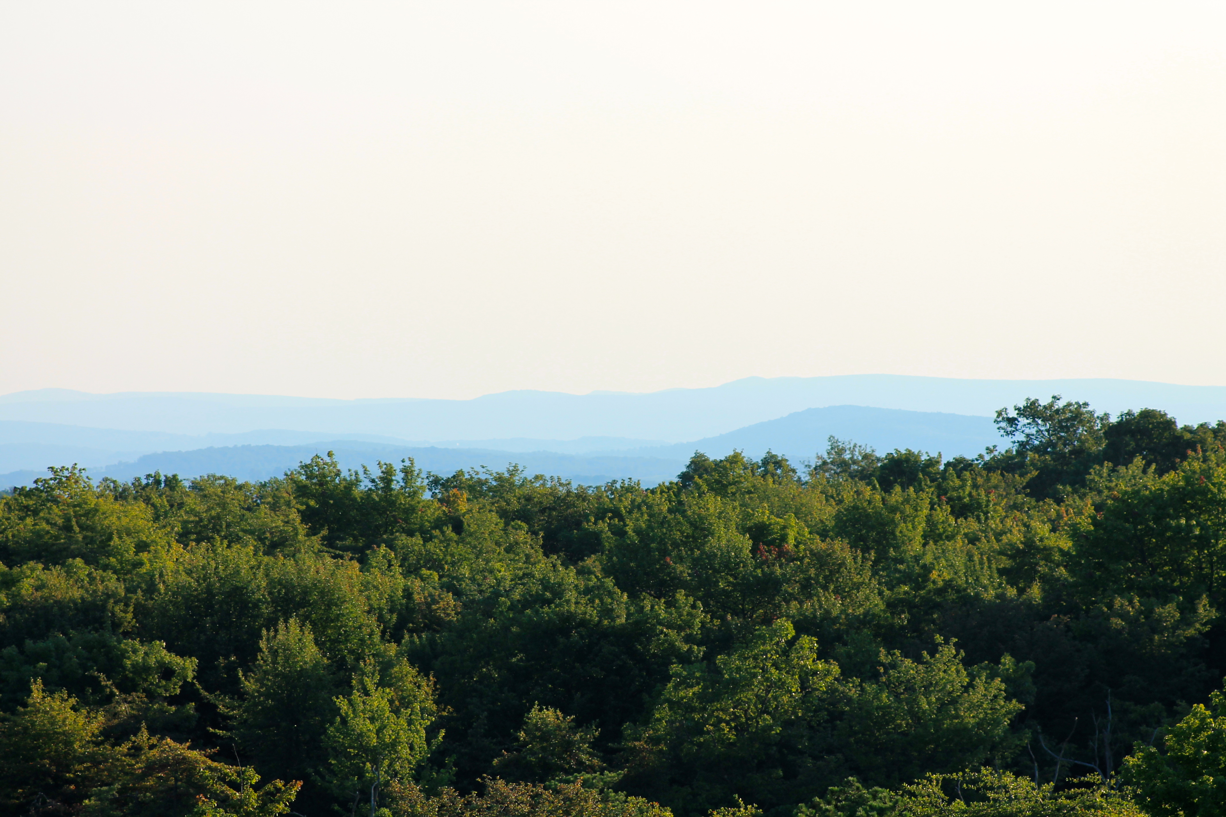
View toward Maryland from Mt. Davis Fire Tower
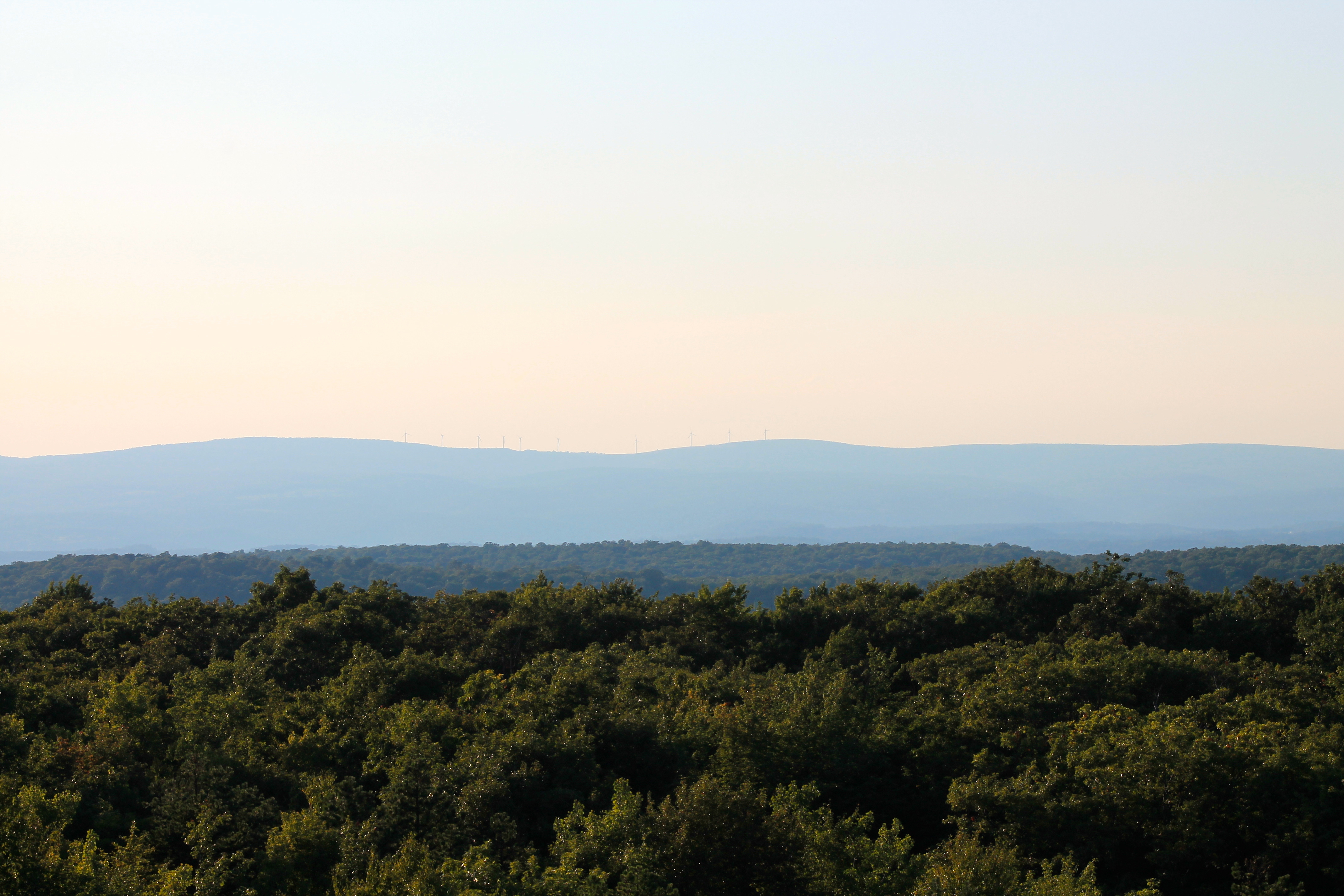
View west toward Laurel Ridge from Mt. Davis Fire Tower

Lower Humbert Bridge -- Somerset County, Pennsylvania
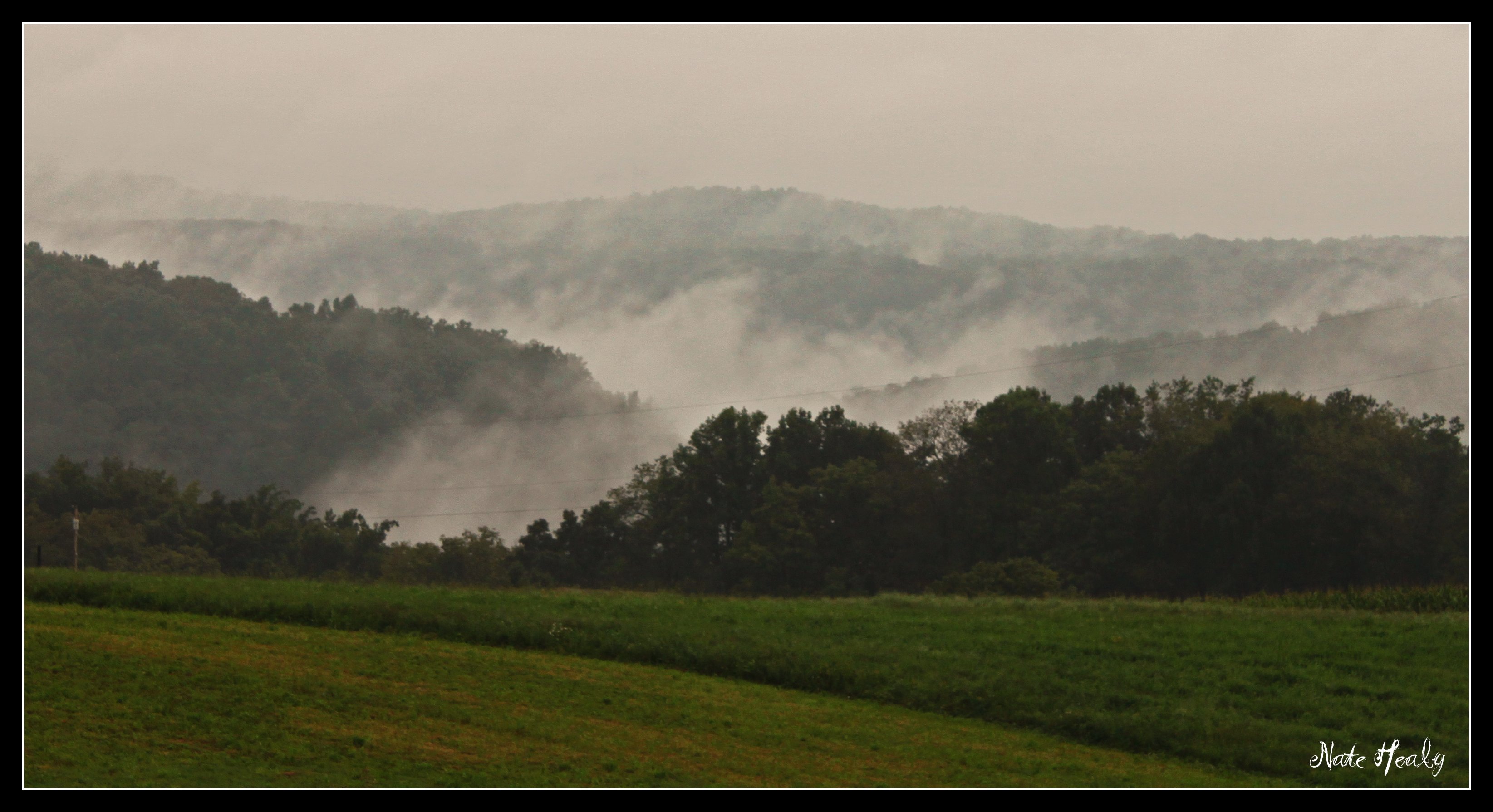
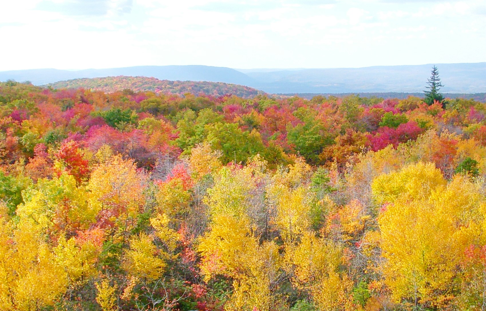
Fog in the Hills

Front Yard View

A View Through a Foggy Window
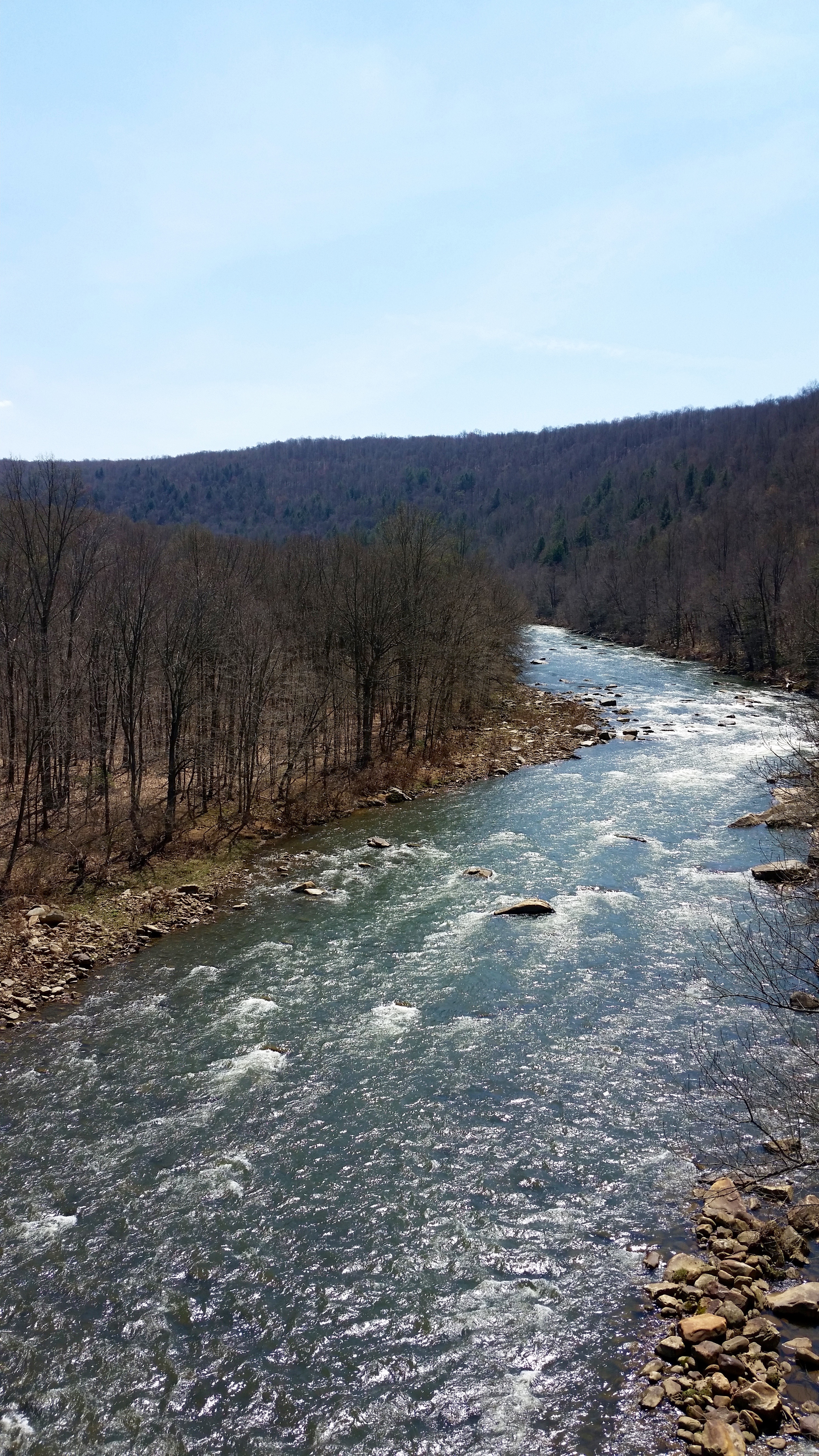
Casselman River
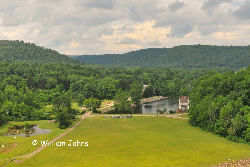
View From Mt. Davis
Pinkerton Tunnel Viaduct

View SE from Mt. Davis Fire Tower
low view of the bridge

Red-necked Phalarope
low view 2
West approach to Casselman River Bridge
Grand View Tavern, Maryland

Red-necked Phalarope
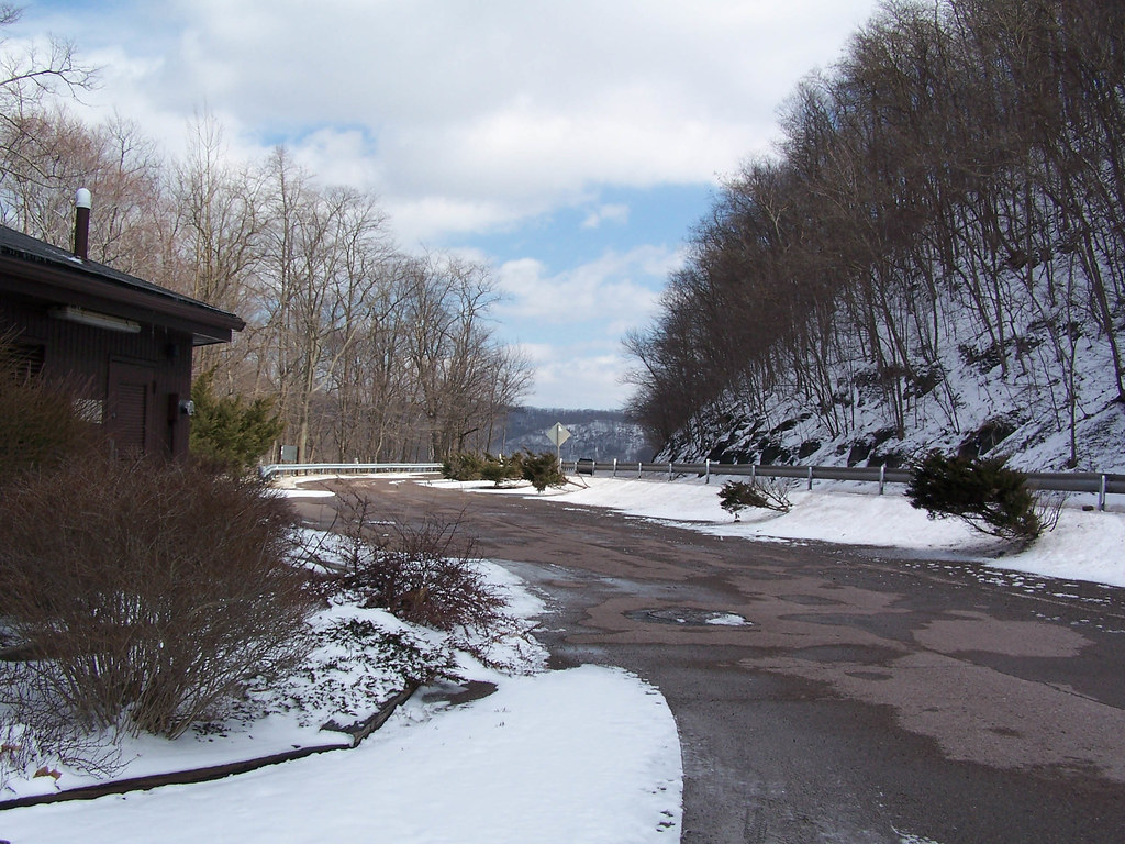
Just west of Turner’s Curve before grading

East approach to Casselman River Bridge
Youghiogheny River Dam
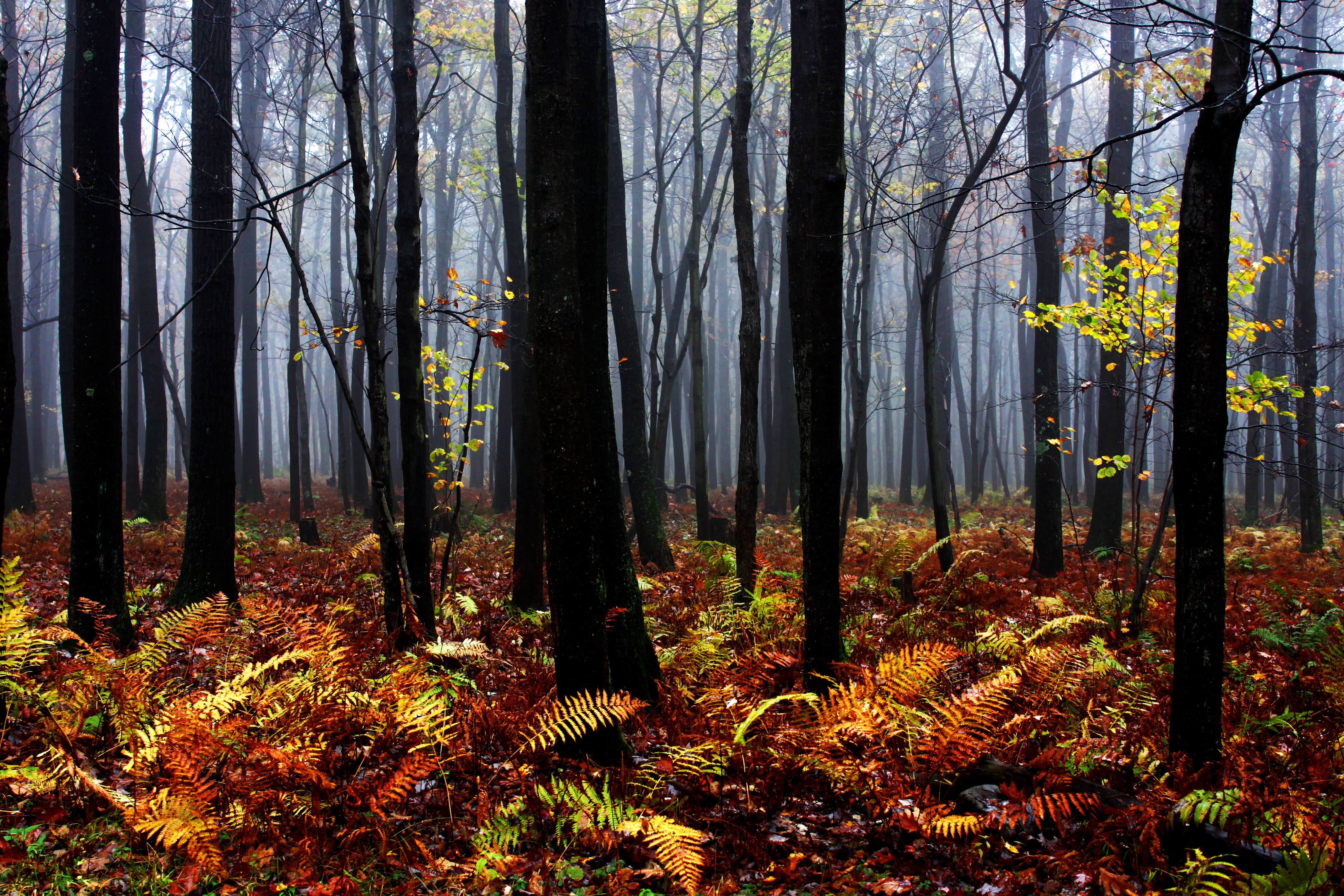
Mysterious Forest
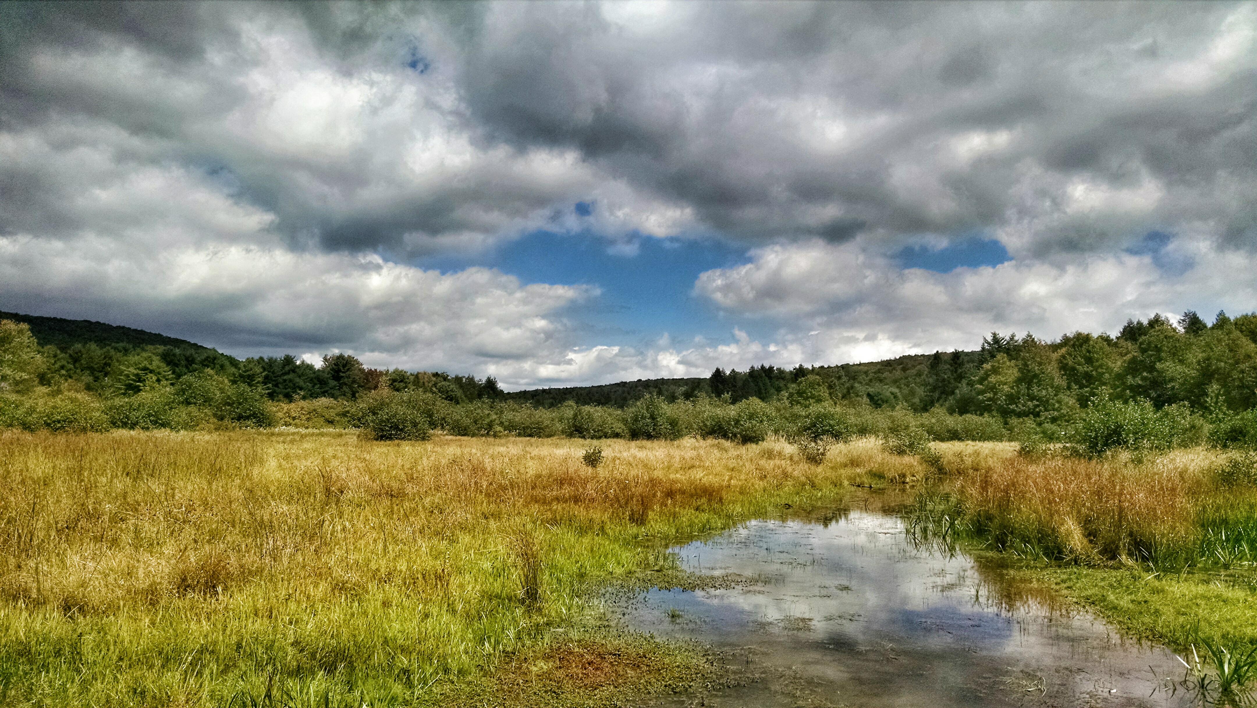
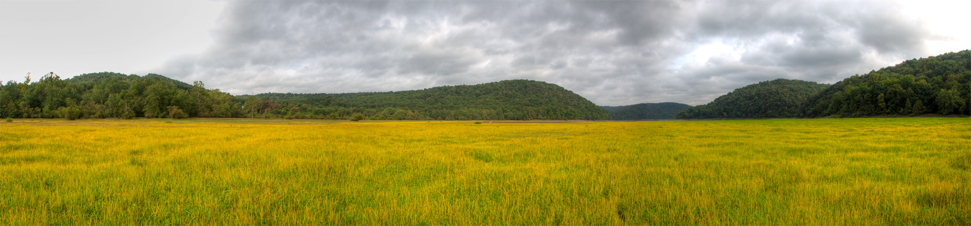
New Germany swamp
CJoy-8860
Youghiougheny Reservoir

Bear Creek -- Garrett County, Maryland
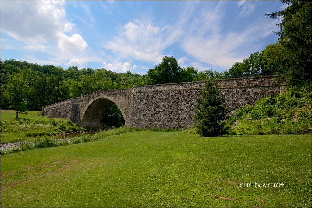
Casselman River Bridge
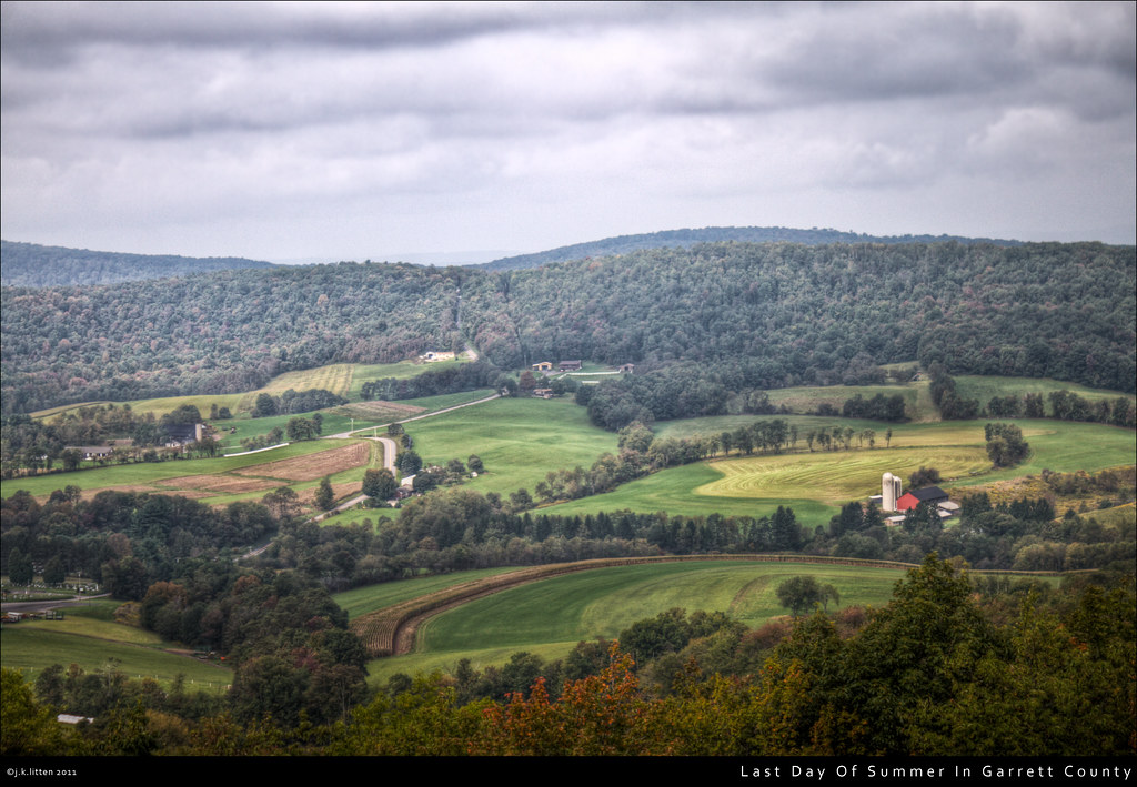
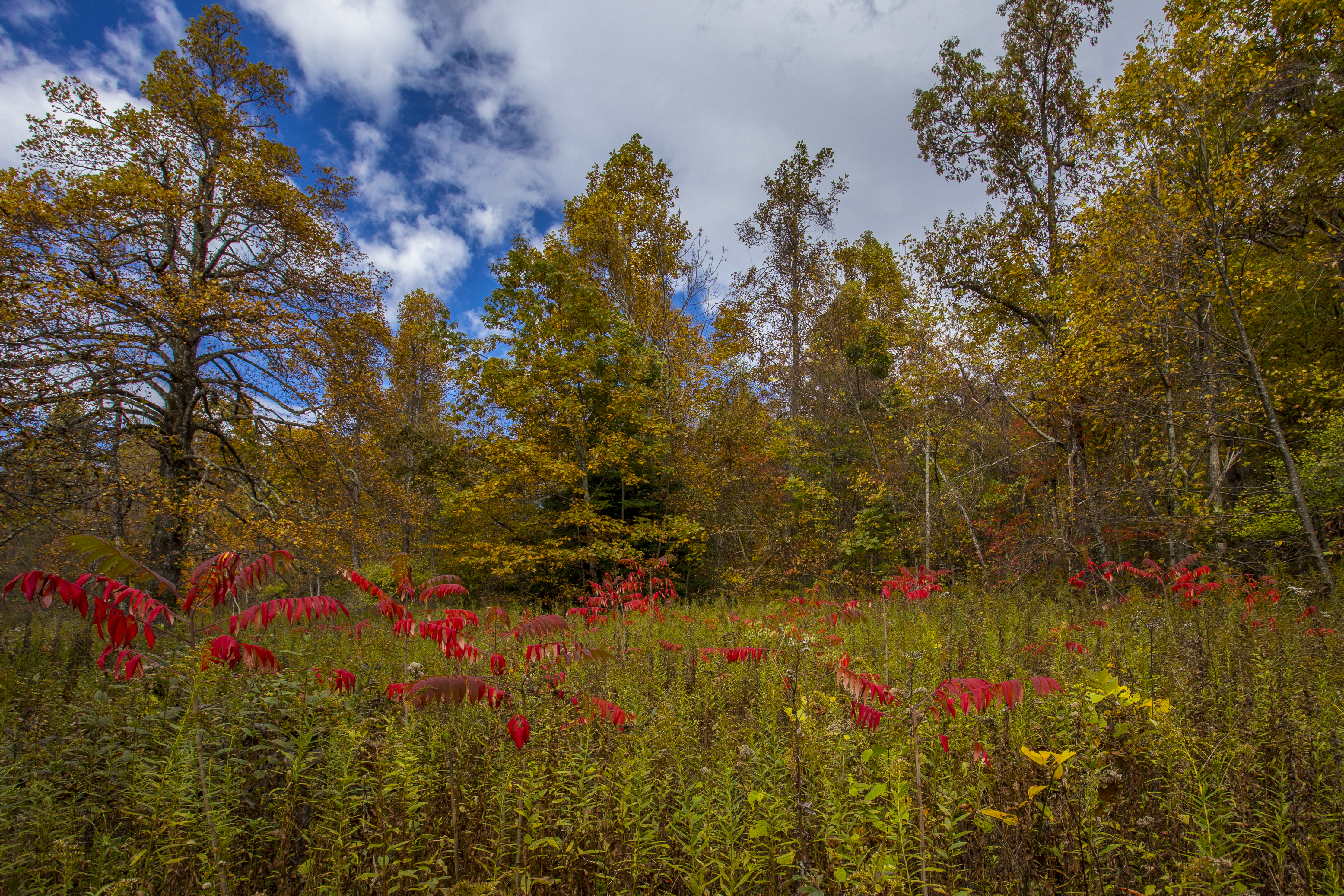
Last Day Of Summer In Garrett County

Youghiogheny River Lake PA - 2013-09-09 (20)
DSC_2365.JPG
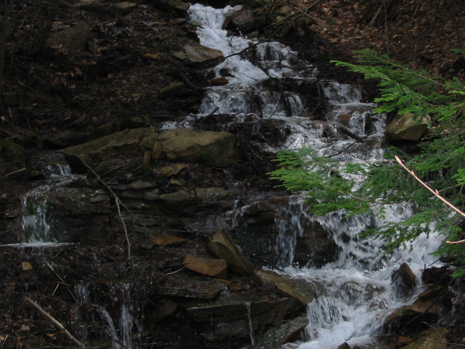
relaxing water fall

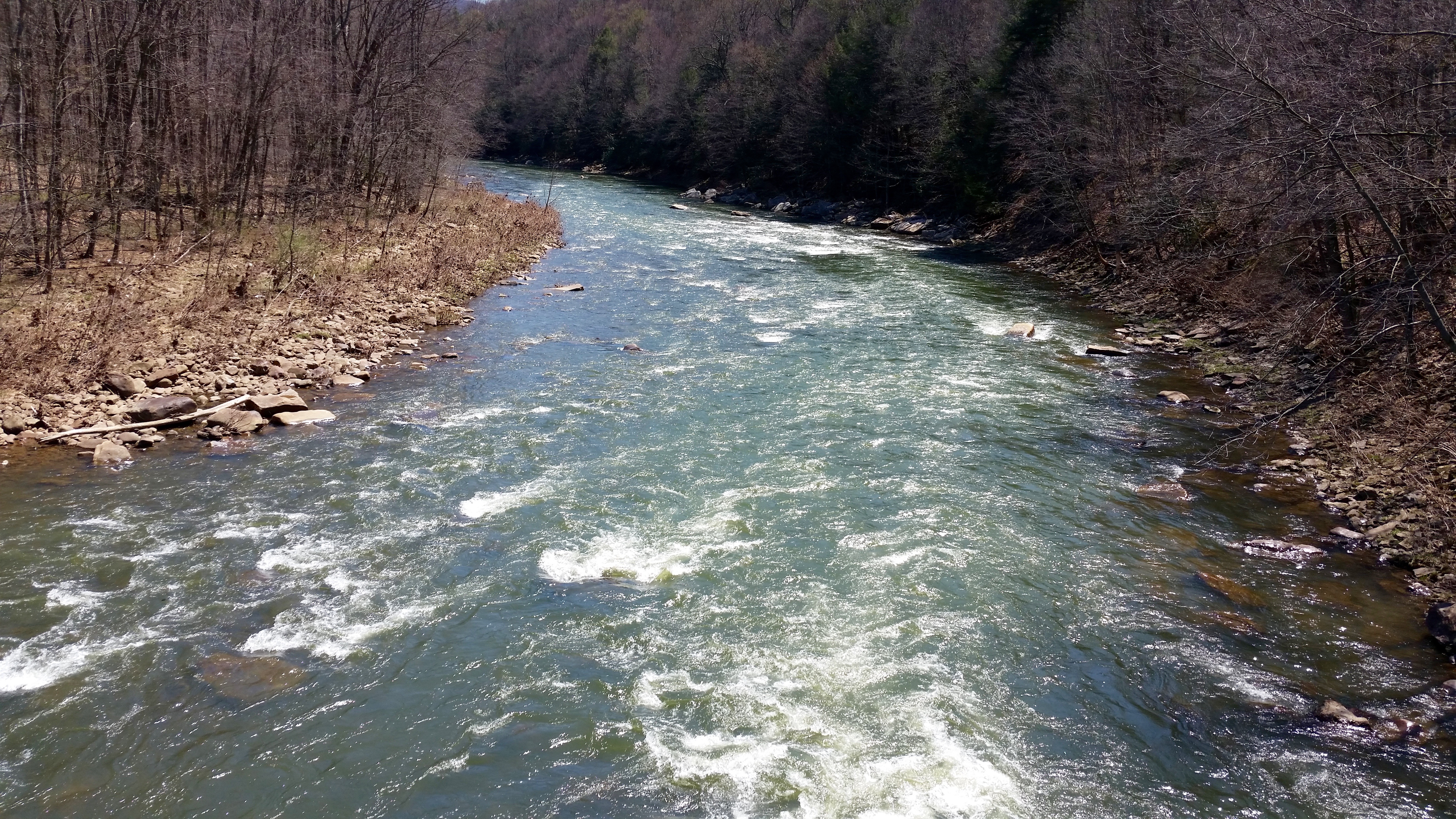
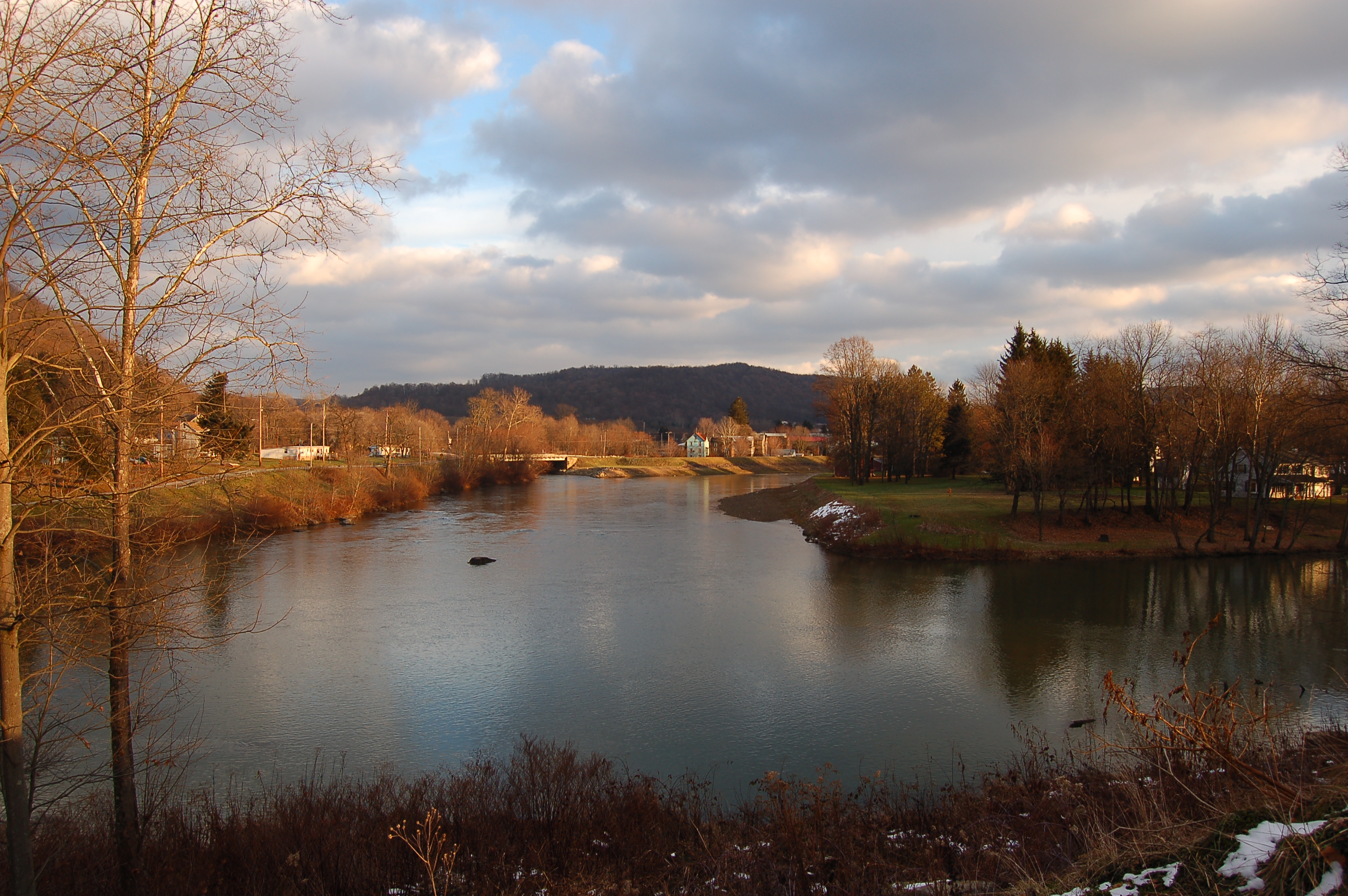
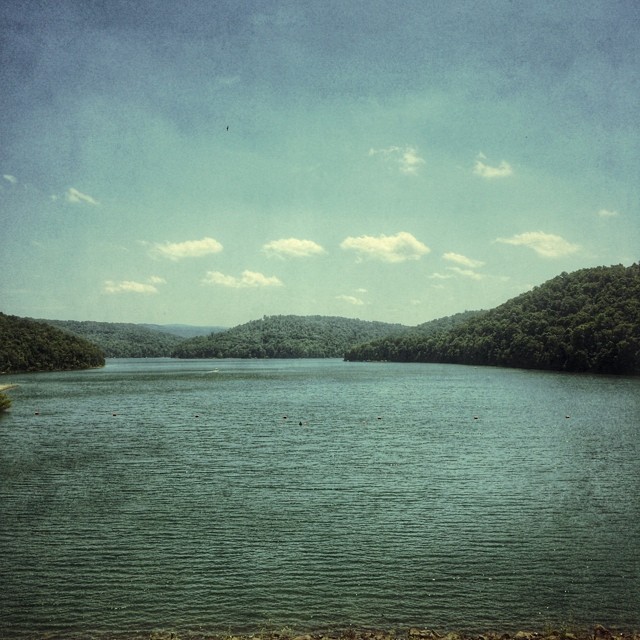
Youghiogheny River
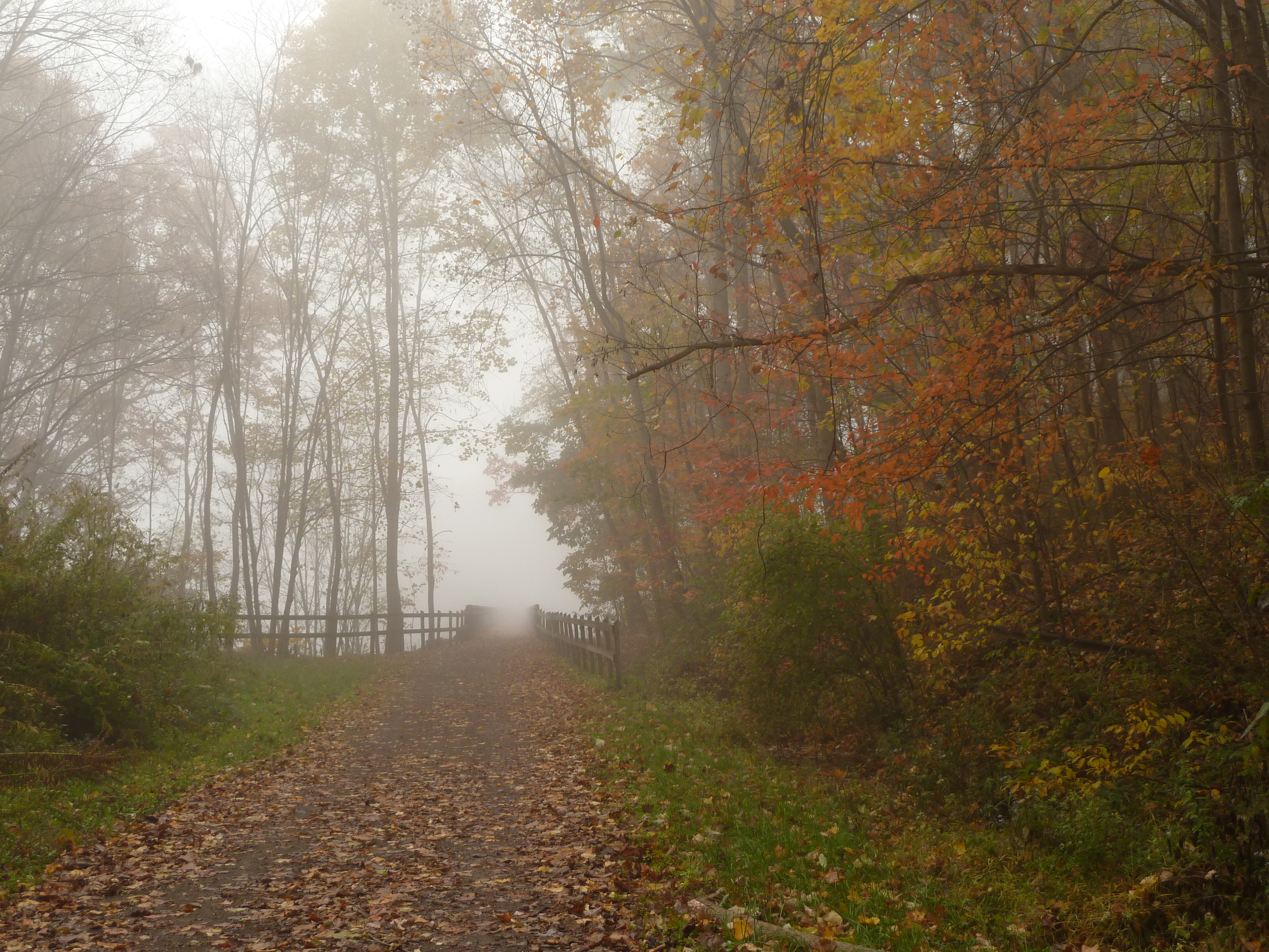
Fog shrouding the trail at Confluence, PA
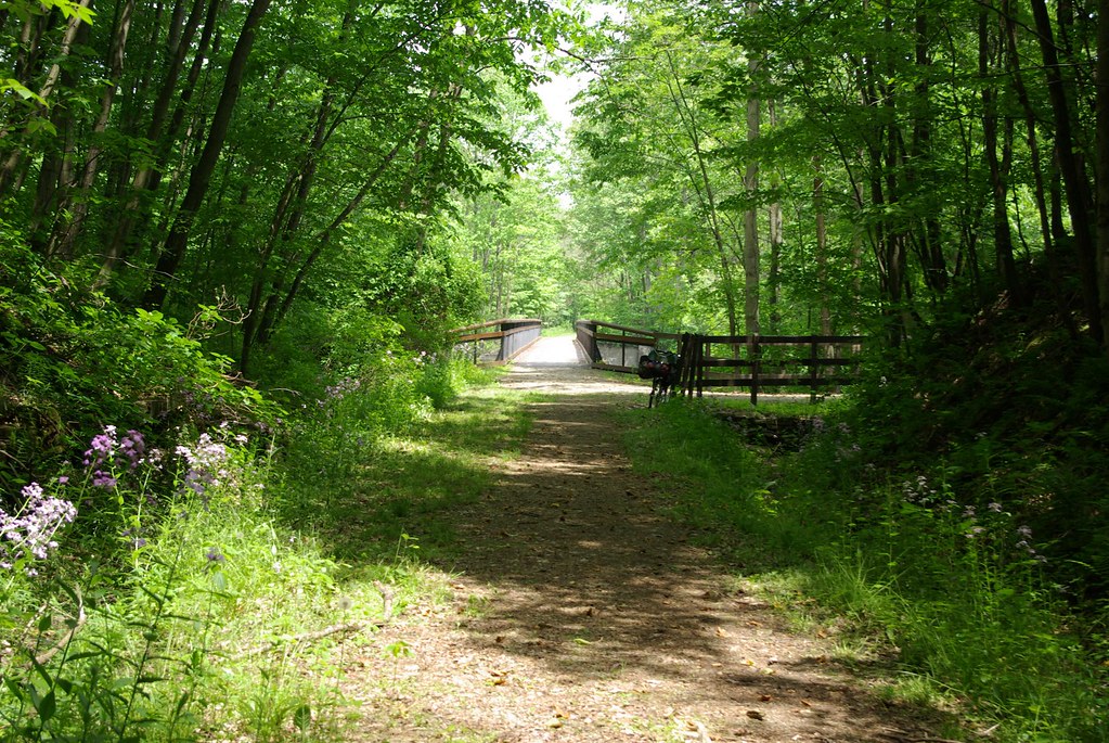
Pinkerton Low Bridge
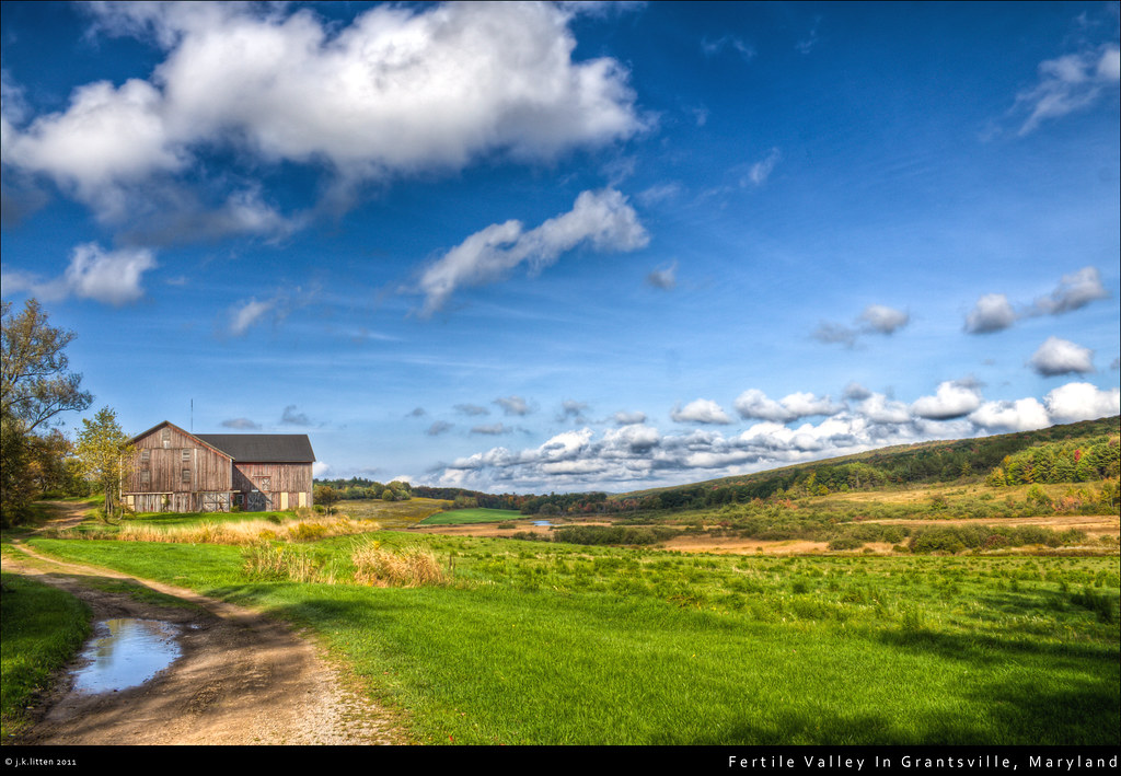
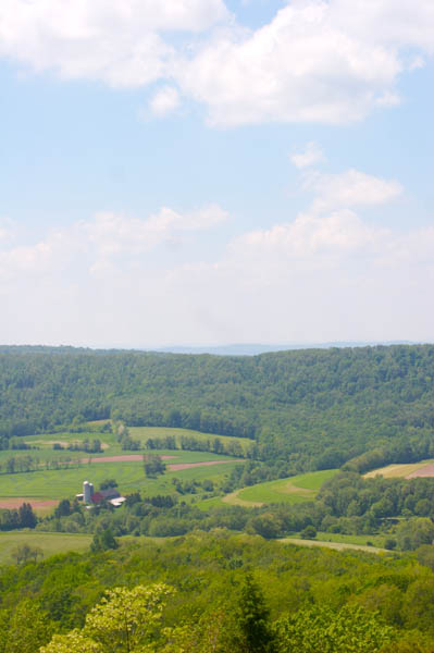
Fertile Valley In Grantsville, Maryland
#pennsylvania #lake
Trip to Maryland

Farm at Corn Maze
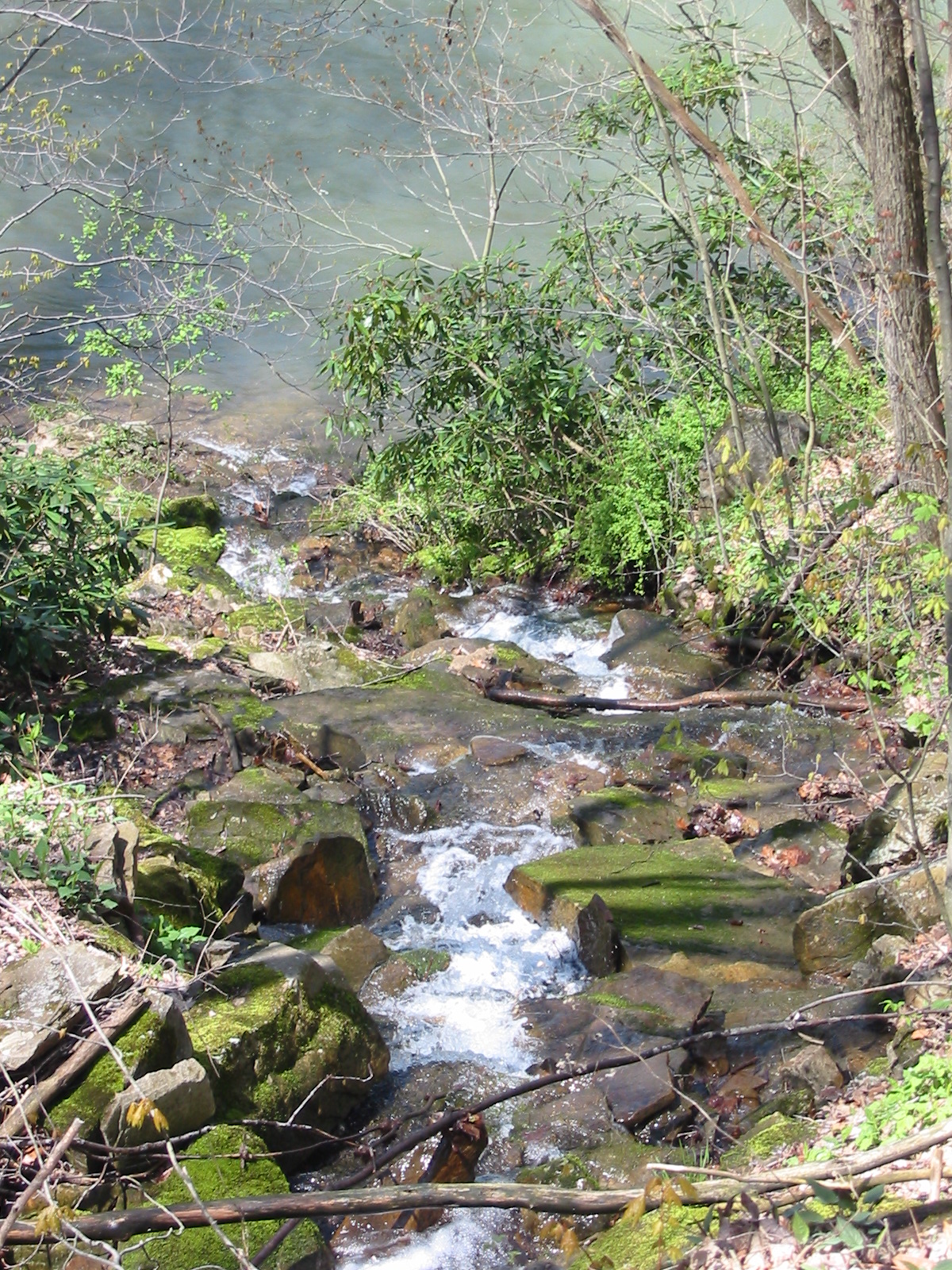
Down to the river
Jockey Hollow
Topographic Map of Boardman Ridge, Addison Township, PA, USA
Find elevation by address:
Places near Boardman Ridge, Addison Township, PA, USA:
1923 Mt Davis Rd
Addison Township
Addison Township
Addison Township
Addison Township
Addison Township
Whites Creek Rd, Confluence, PA, USA
Mcclintock Run
293 Sechler Rd
Listonburg Rd, Confluence, PA, USA
Deer Valley Road
Fort Hill
Mount Davis Observation Tower
Mount Davis
Negro Mountain
363 Starr Ln
Addison
728 Main St
Wilkins Hollow Road
Springs
Recent Searches:
- Elevation of Burnt Store Village, Charlotte County, Florida, 33955, USA
- Elevation of 26552, Angelica Road, Punta Gorda, Charlotte County, Florida, 33955, USA
- Elevation of 104, Chancery Road, Middletown Township, Bucks County, Pennsylvania, 19047, USA
- Elevation of 1212, Cypress Lane, Dayton, Liberty County, Texas, 77535, USA
- Elevation map of Central Hungary, Hungary
- Elevation map of Pest, Central Hungary, Hungary
- Elevation of Pilisszentkereszt, Pest, Central Hungary, Hungary
- Elevation of Dharamkot Tahsil, Punjab, India
- Elevation of Bhinder Khurd, Dharamkot Tahsil, Punjab, India
- Elevation of 2881, Chabot Drive, San Bruno, San Mateo County, California, 94066, USA
- Elevation of 10370, West 107th Circle, Westminster, Jefferson County, Colorado, 80021, USA
- Elevation of 611, Roman Road, Old Ford, Bow, London, England, E3 2RW, United Kingdom
- Elevation of 116, Beartown Road, Underhill, Chittenden County, Vermont, 05489, USA
- Elevation of Window Rock, Colfax County, New Mexico, 87714, USA
- Elevation of 4807, Rosecroft Street, Kempsville Gardens, Virginia Beach, Virginia, 23464, USA
- Elevation map of Matawinie, Quebec, Canada
- Elevation of Sainte-Émélie-de-l'Énergie, Matawinie, Quebec, Canada
- Elevation of Rue du Pont, Sainte-Émélie-de-l'Énergie, Matawinie, Quebec, J0K2K0, Canada
- Elevation of 8, Rue de Bécancour, Blainville, Thérèse-De Blainville, Quebec, J7B1N2, Canada
- Elevation of Wilmot Court North, 163, University Avenue West, Northdale, Waterloo, Region of Waterloo, Ontario, N2L6B6, Canada