Elevation of Starr Ln, Confluence, PA, USA
Location: United States > Pennsylvania > Somerset County > Addison Township > Confluence >
Longitude: -79.326547
Latitude: 39.7704546
Elevation: 621m / 2037feet
Barometric Pressure: 94KPa
Elevation Map:
Satellite Map:
Related Photos:
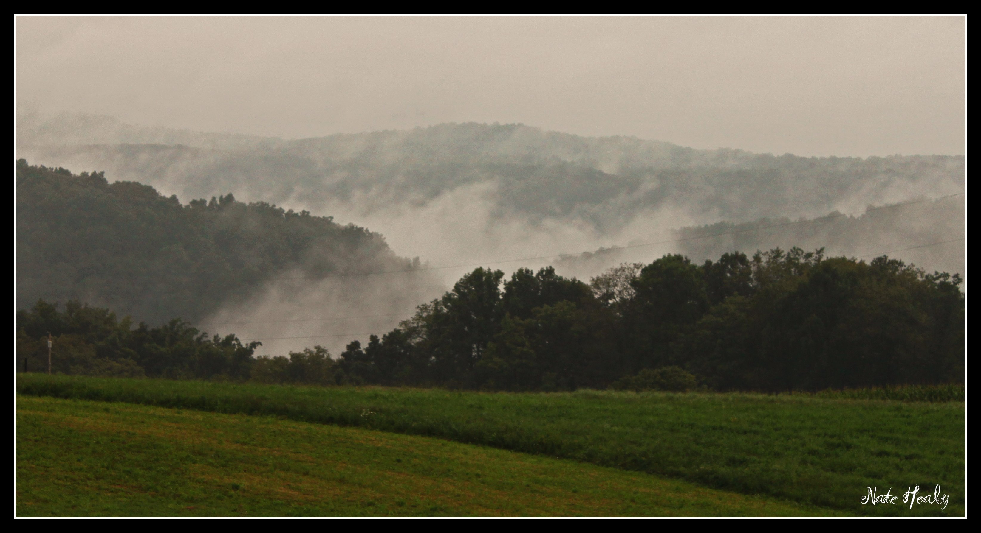
Fog in the Hills

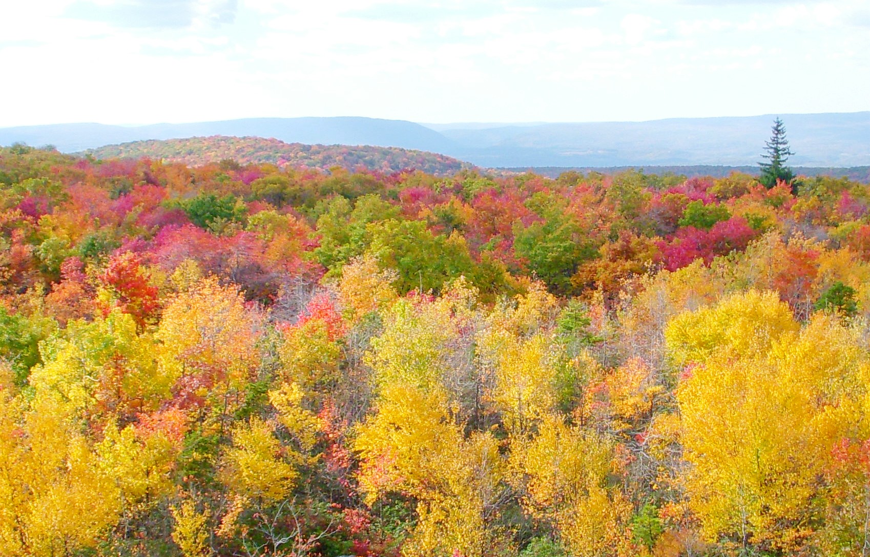
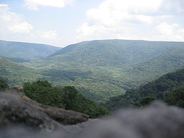
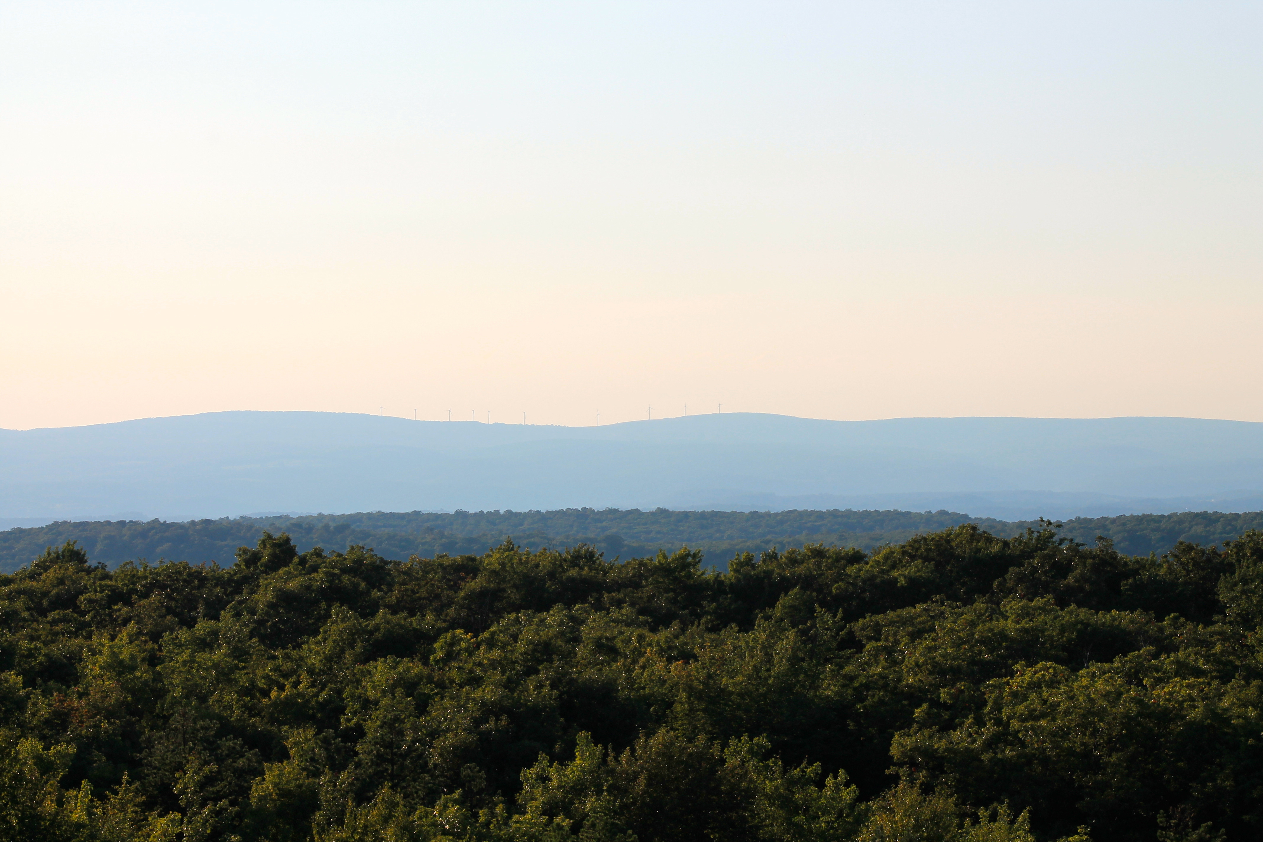
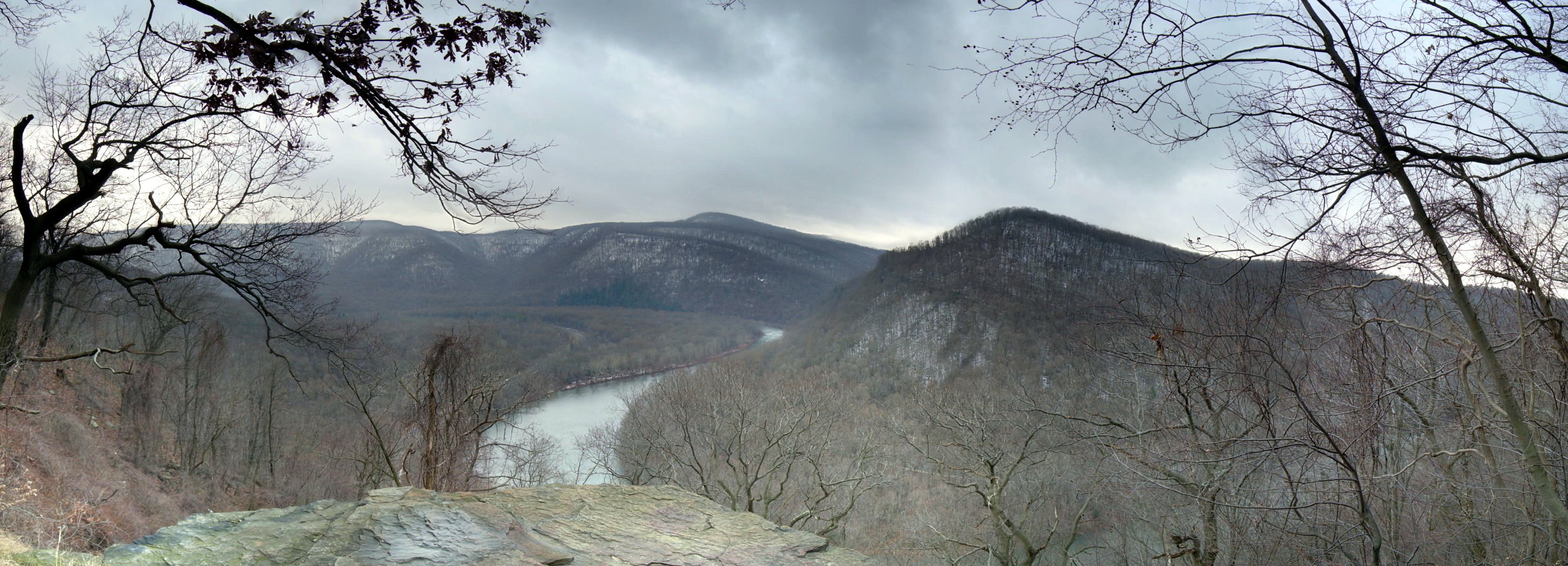
View SE from Mt. Davis Fire Tower

And it stoned me to my soul.

Lower Humbert Bridge -- Somerset County, Pennsylvania
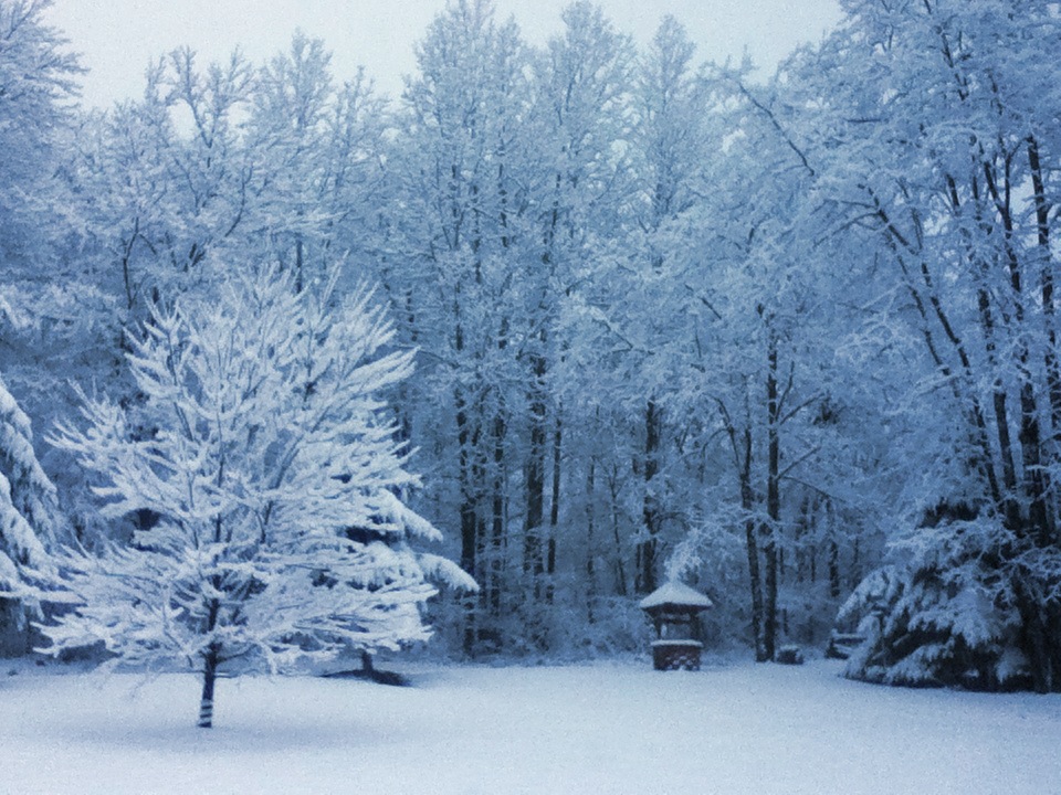
Front Yard View
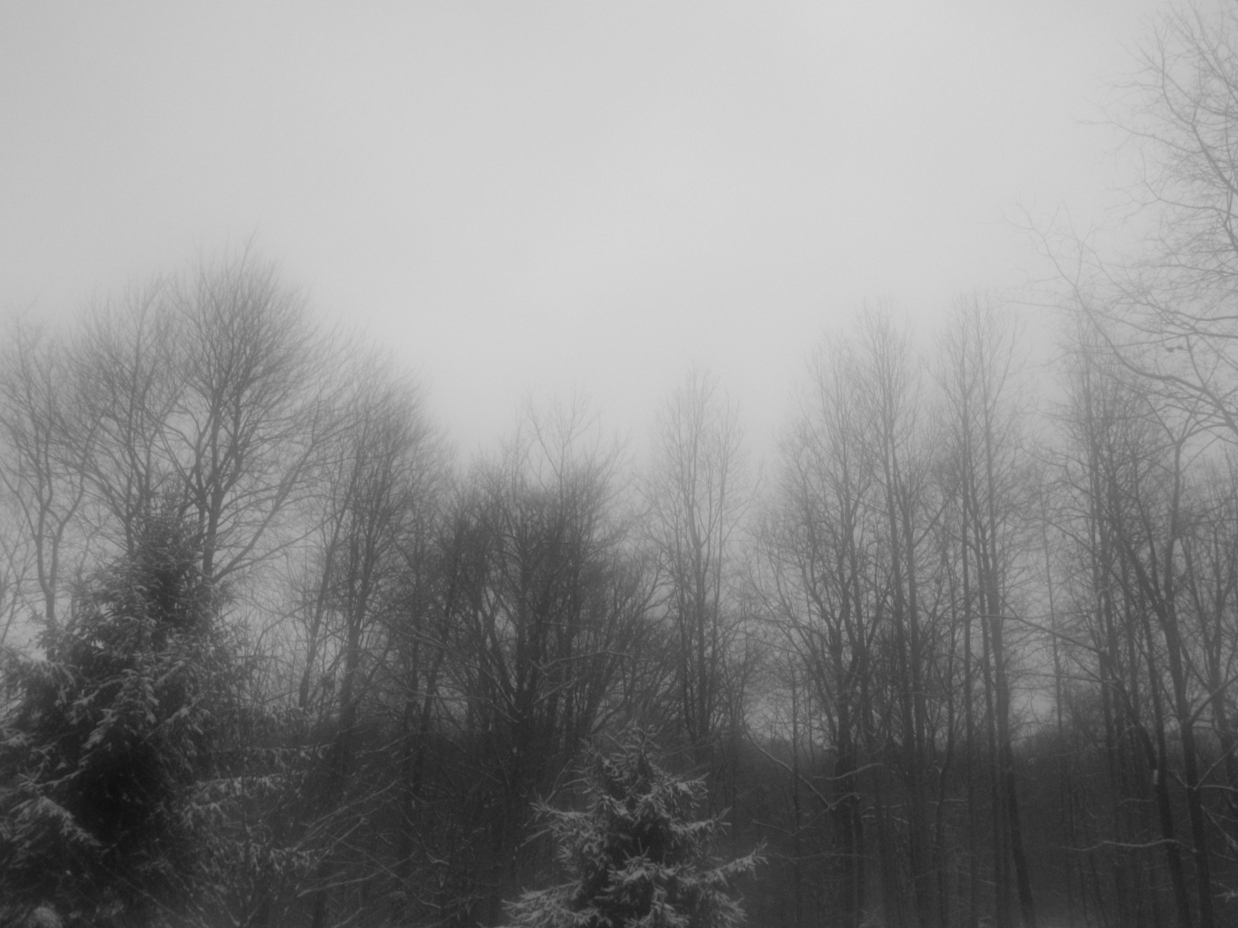
A View Through a Foggy Window
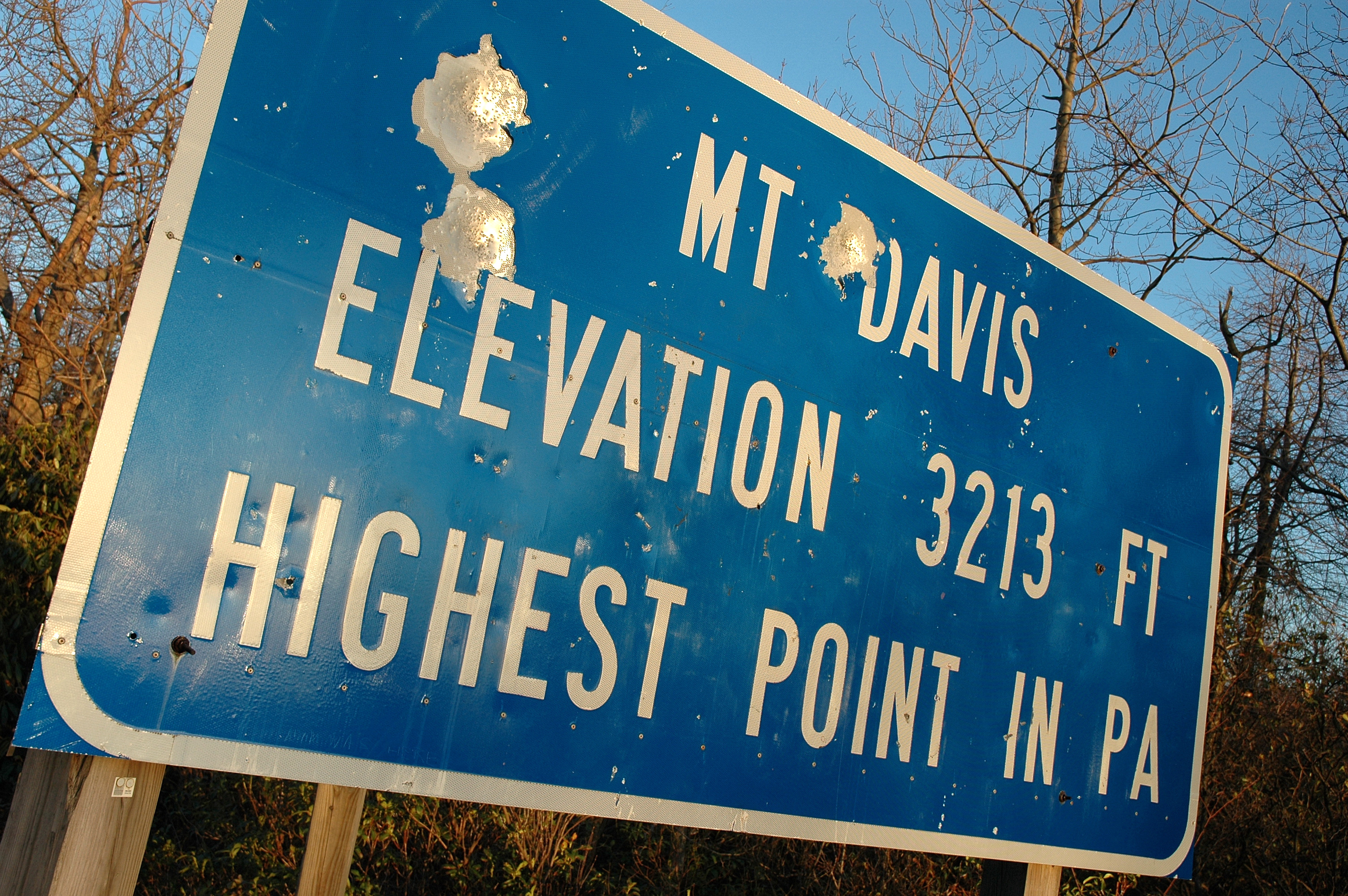
View From Mt. Davis
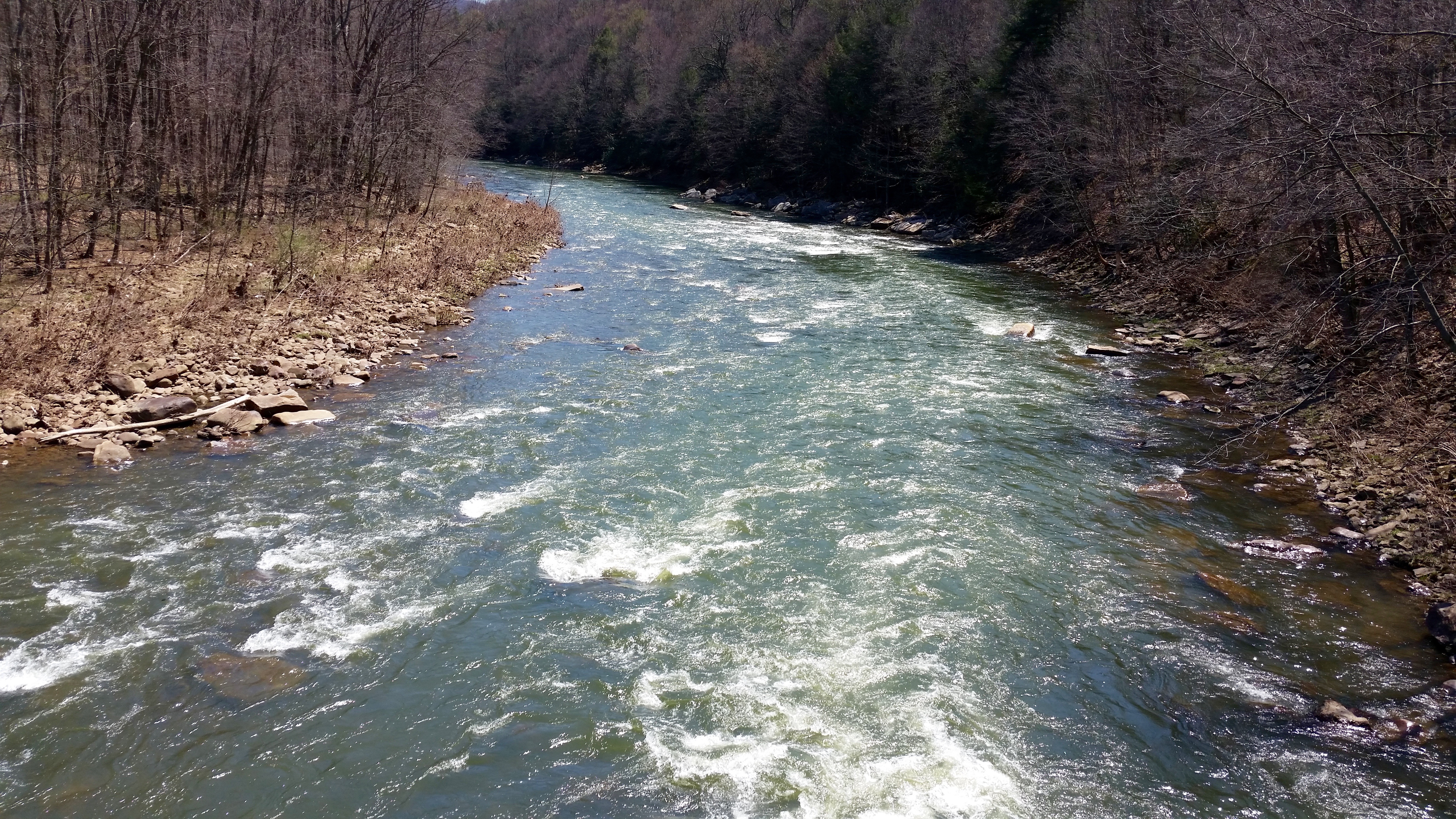
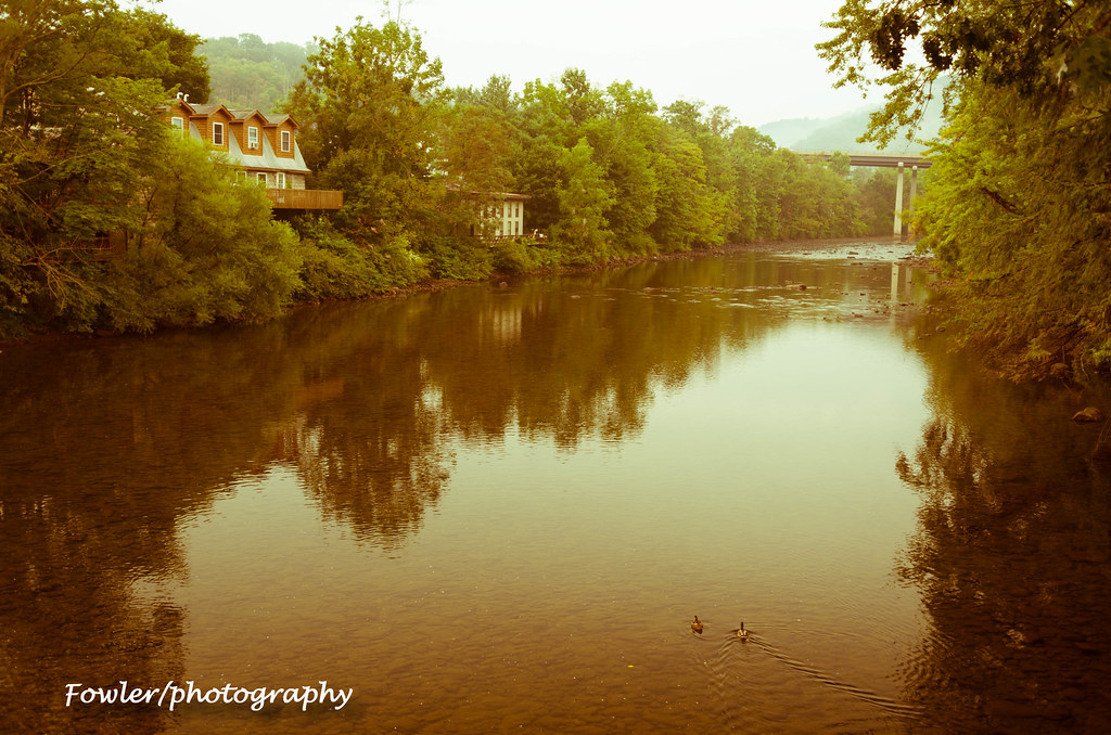
Casselman River
Time Lapse: Baughman's Rock Overlook
Pinkerton Tunnel Viaduct

"Totem Caterpilliar"
low view of the bridge
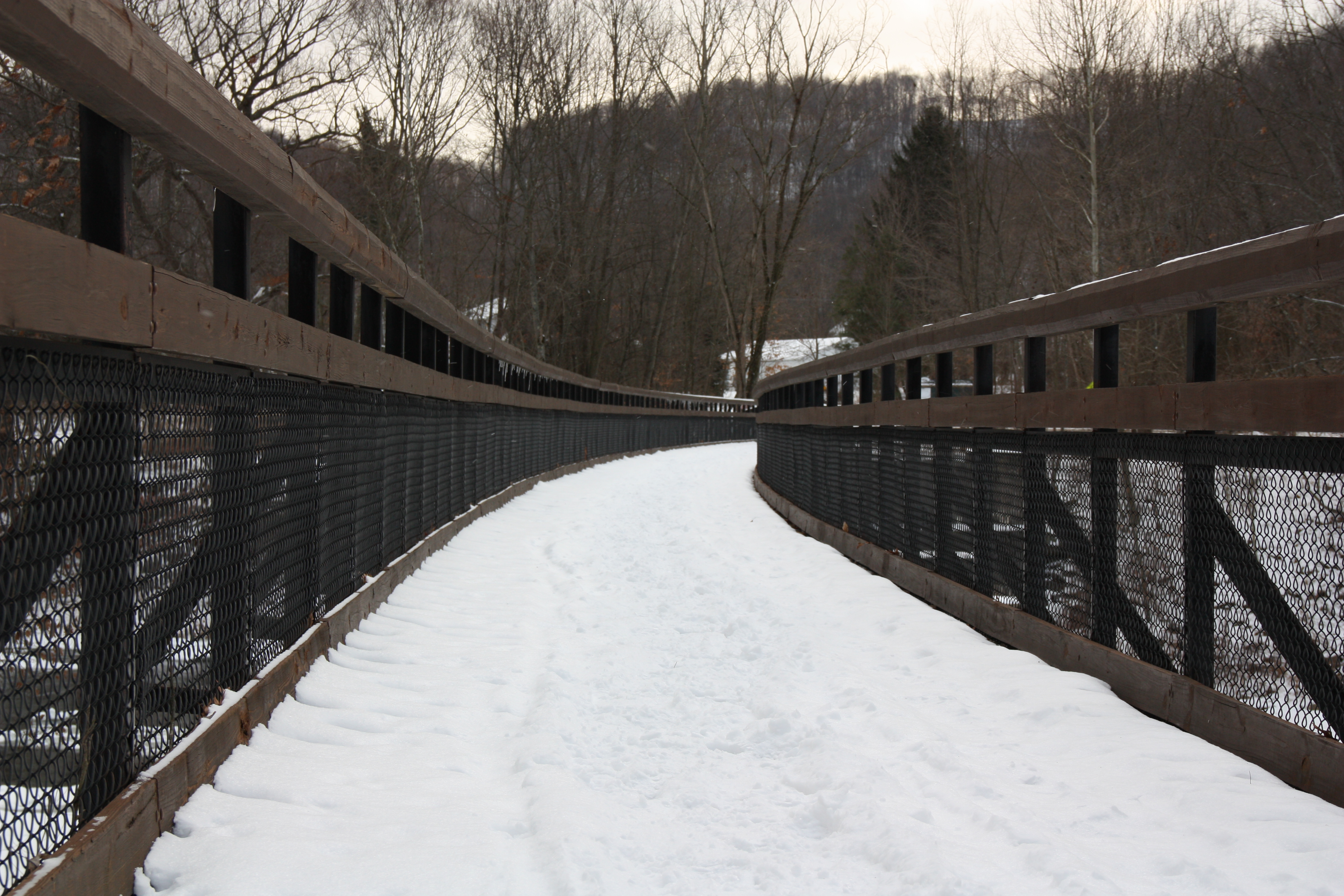
low view 2
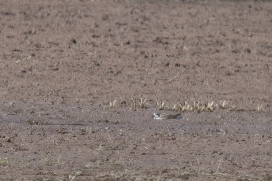
Red-necked Phalarope
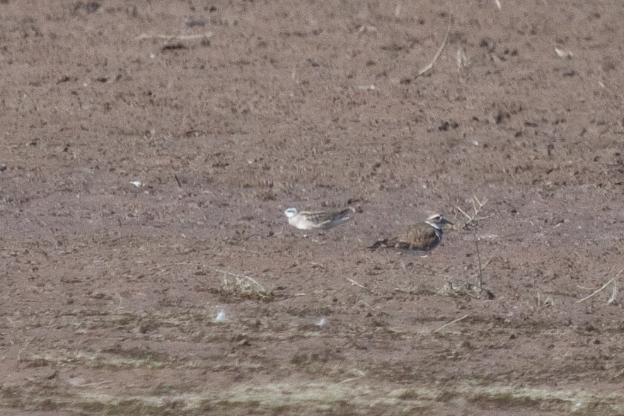
Red-necked Phalarope
View west toward Laurel Ridge from Mt. Davis Fire Tower
Rock Creek Run Overlook
View toward Maryland from Mt. Davis Fire Tower
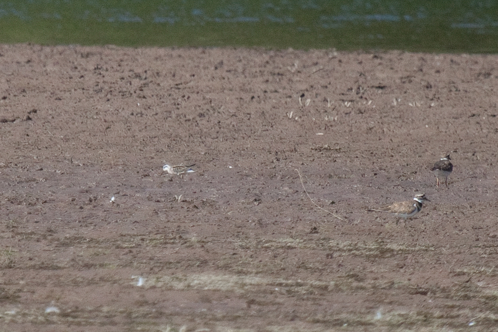
Red-necked Phalarope
shoot anything that doesn't move
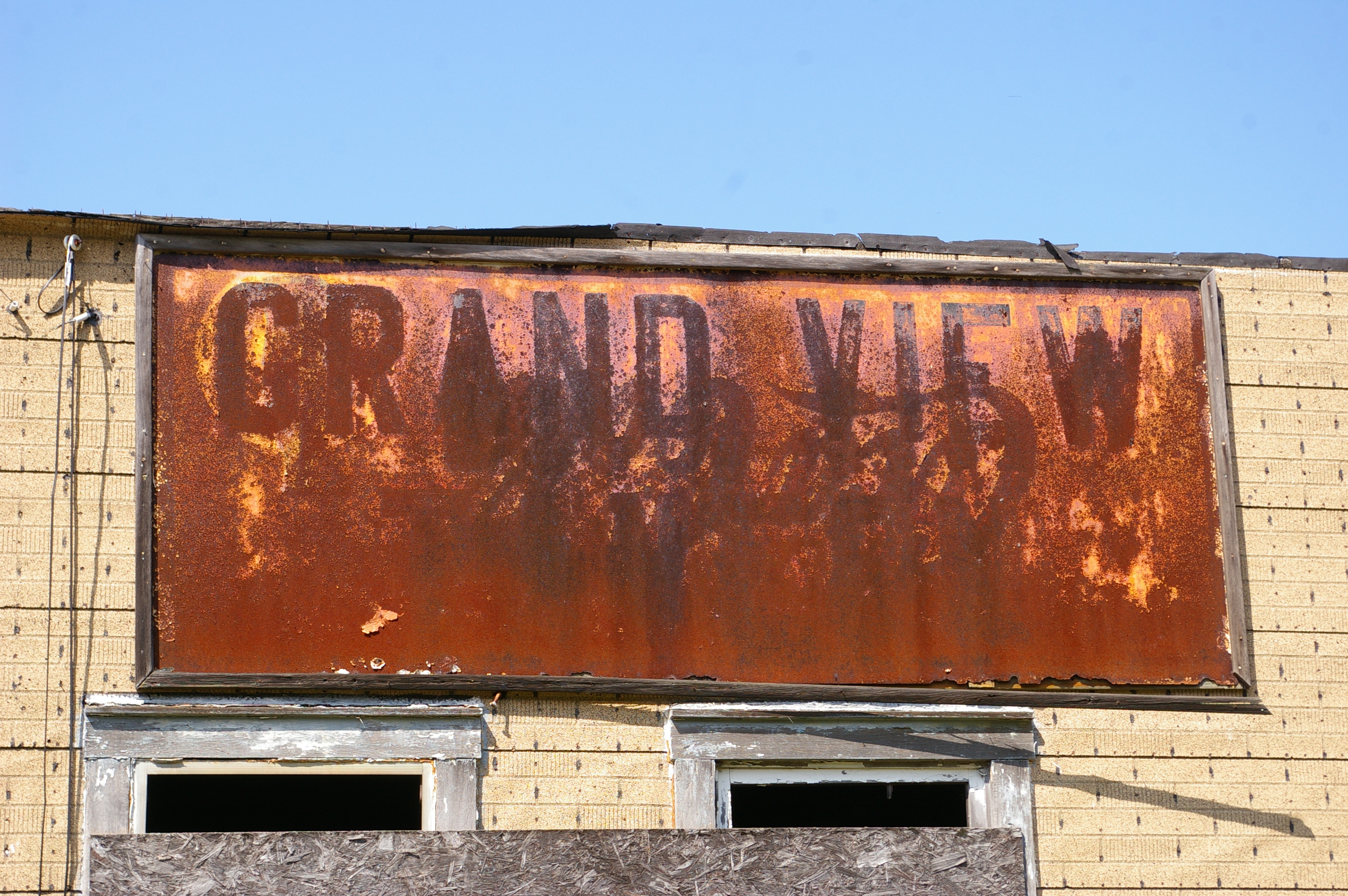
Grand View Tavern, Maryland

Bear Creek -- Garrett County, Maryland
youghiogheny river
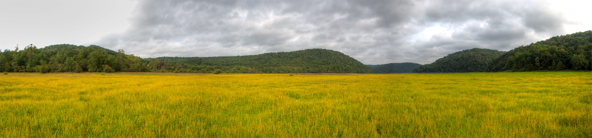
Youghiougheny Reservoir
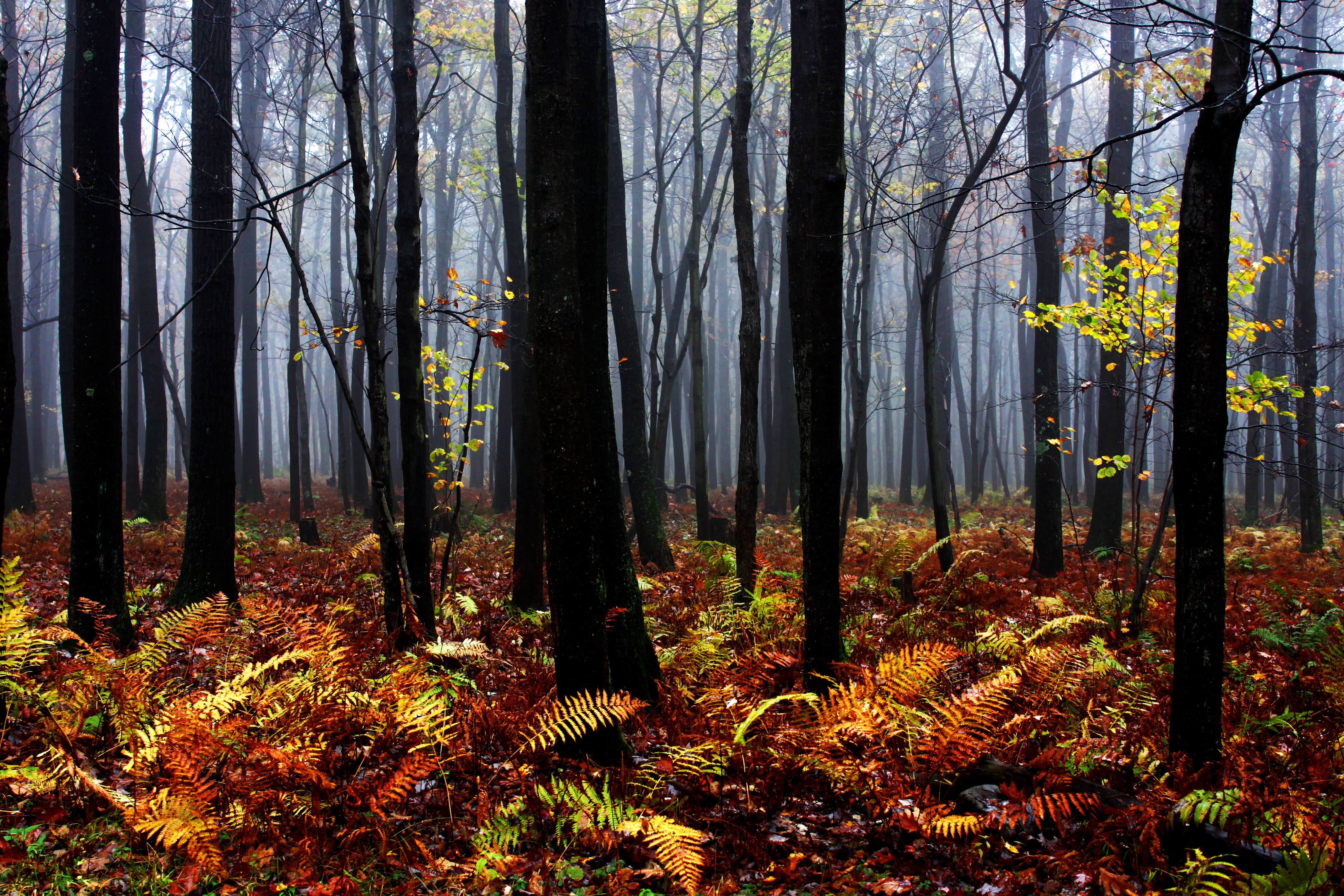
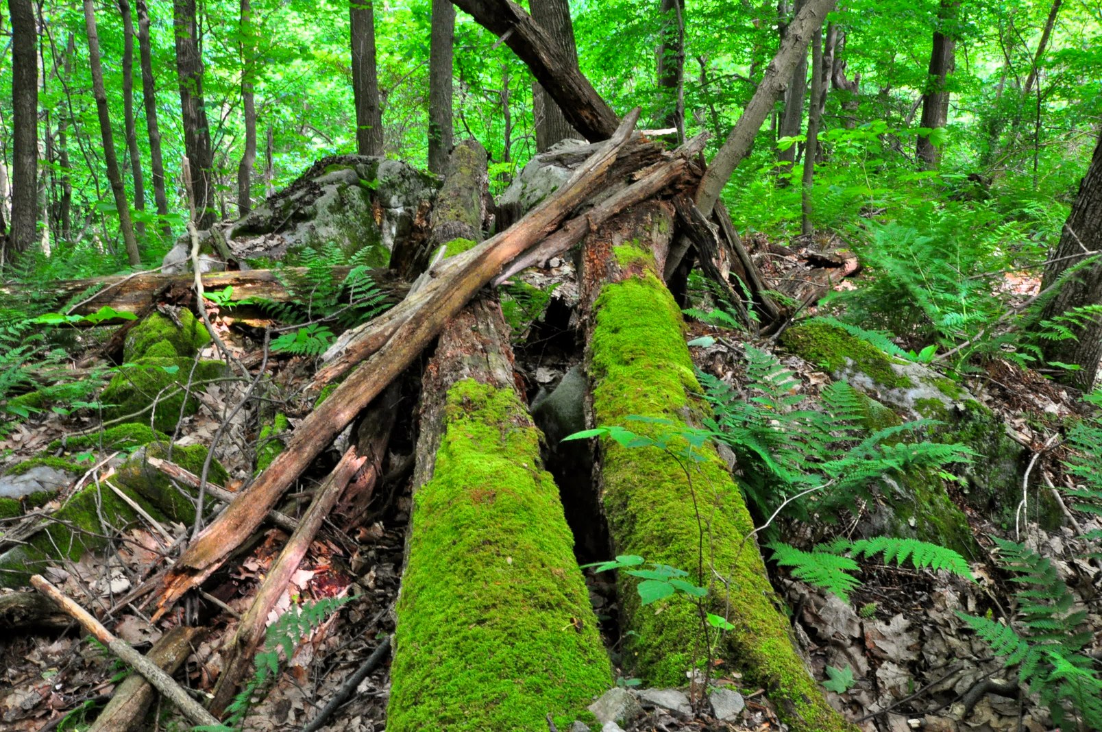
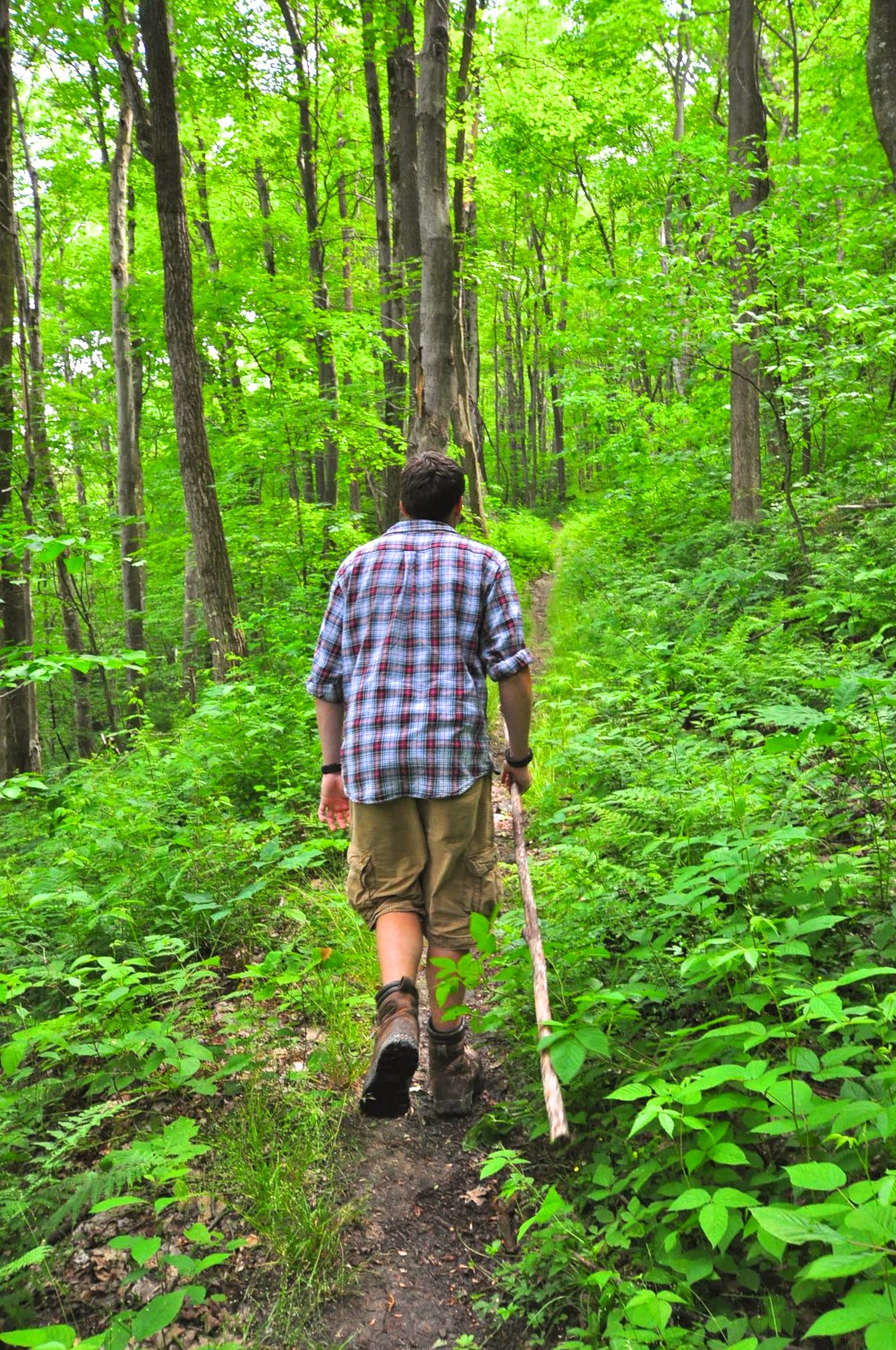
Mysterious Forest
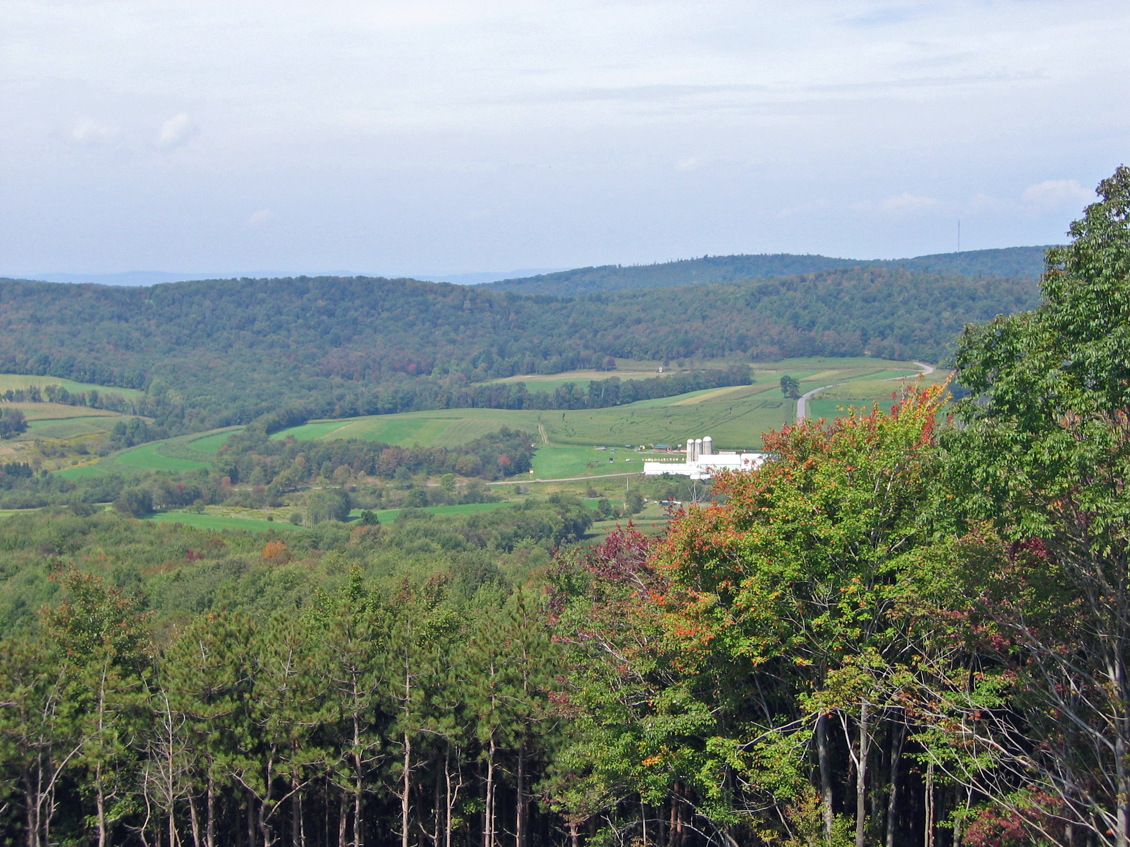
Last Day Of Summer In Garrett County
Cucumber Falls
MD sunset
DSC_2365.JPG

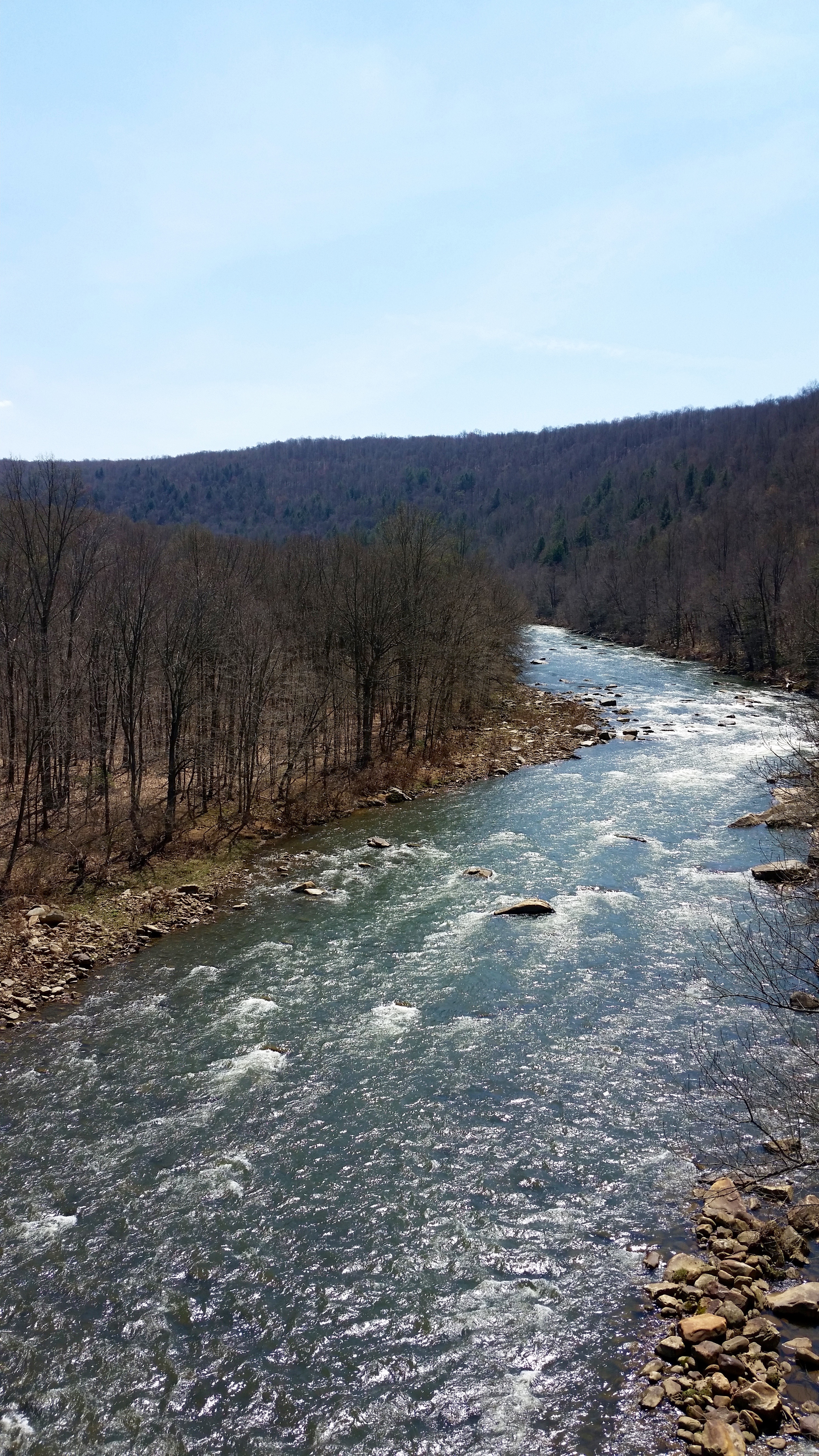
Youghiogheny River

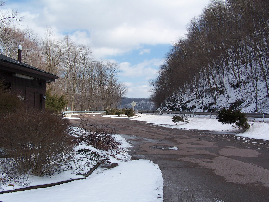
Ohiopyle State Park PA - 2015-01-15 (35)
Pinkerton Low Bridge
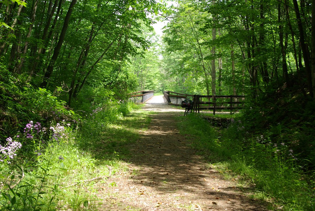
"The clearest way into the Universe is through a forest wilderness" John Muir
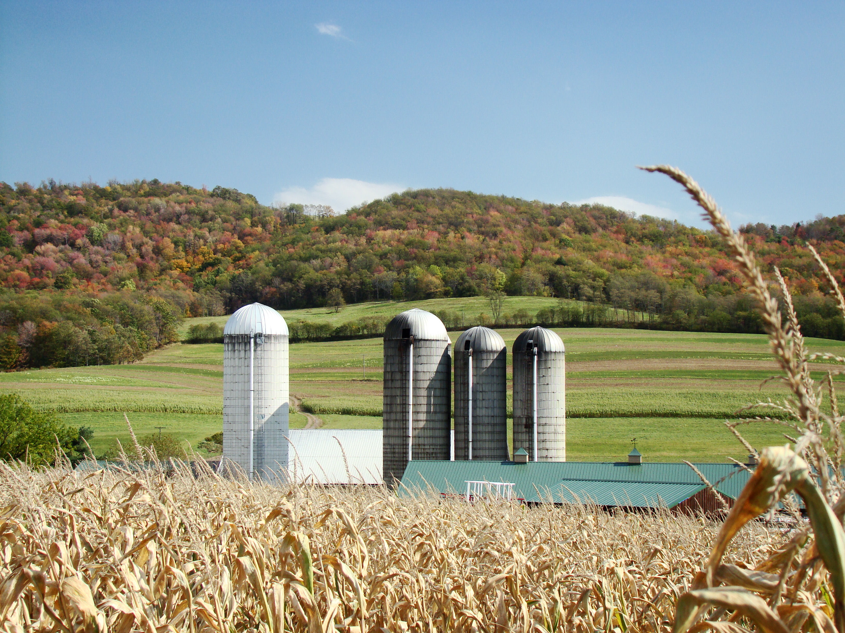
Farm at Corn Maze
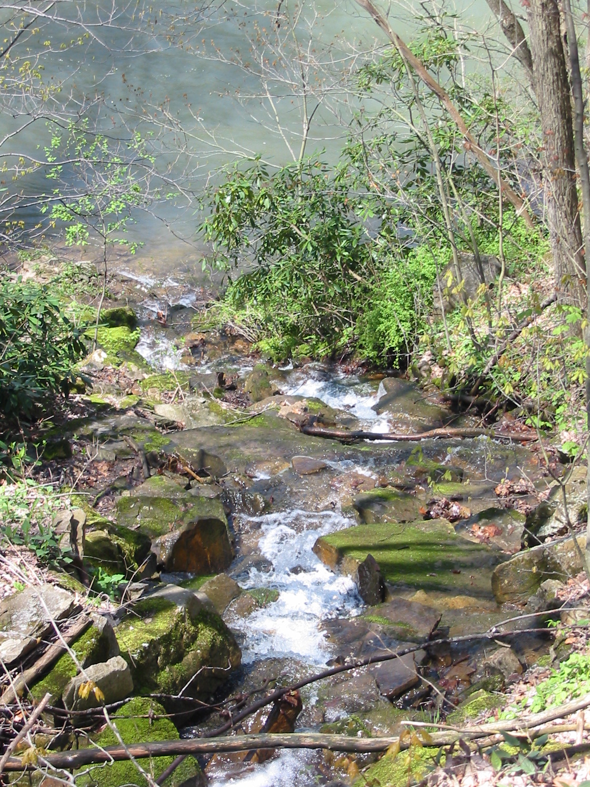
Down to the river
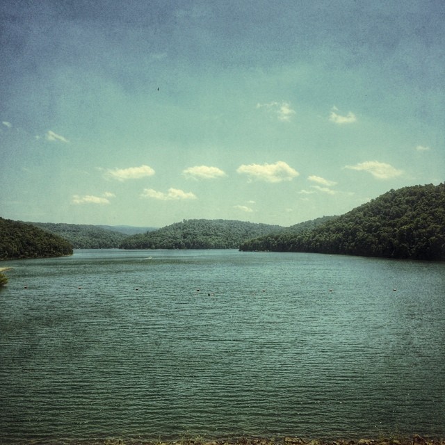
#pennsylvania #lake
Jockey Hollow
Trip to Maryland
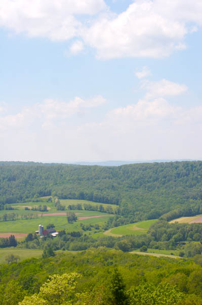
Maryland: Garret County Countryside
"In every walk with nature one receives far more than he seeks." John Muir
Topographic Map of Starr Ln, Confluence, PA, USA
Find elevation by address:

Places near Starr Ln, Confluence, PA, USA:
Listonburg Rd, Confluence, PA, USA
Wilkins Hollow Road
918 Wilkins Hollow Rd
728 Main St
Addison
Lakeside Road
400 Lakeside Rd
400 Lakeside Rd
Whites Creek Rd, Confluence, PA, USA
Confluence
935 Newberry Rd
Addison Township
Addison Township
Addison Township
Addison Township
Addison Township
293 Sechler Rd
1579 Mae West Rd
Draketown Rd, Confluence, PA, USA
583 Sickle Ridge Rd
Recent Searches:
- Elevation of Corso Fratelli Cairoli, 35, Macerata MC, Italy
- Elevation of Tallevast Rd, Sarasota, FL, USA
- Elevation of 4th St E, Sonoma, CA, USA
- Elevation of Black Hollow Rd, Pennsdale, PA, USA
- Elevation of Oakland Ave, Williamsport, PA, USA
- Elevation of Pedrógão Grande, Portugal
- Elevation of Klee Dr, Martinsburg, WV, USA
- Elevation of Via Roma, Pieranica CR, Italy
- Elevation of Tavkvetili Mountain, Georgia
- Elevation of Hartfords Bluff Cir, Mt Pleasant, SC, USA