Elevation of Springfield, WV, USA
Location: United States > West Virginia > Hampshire County > Springfield >
Longitude: -78.694183
Latitude: 39.450329
Elevation: 224m / 735feet
Barometric Pressure: 99KPa
Elevation Map:
Satellite Map:
Related Photos:

Symmetry: View through Historic Culvert 217

2016 06-25 1751 SBVR SD18-182 N/B on rear, Romney, WV

Chessie Club 1903
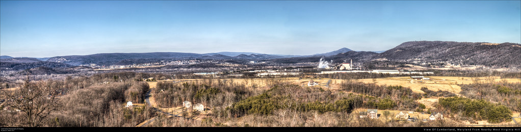
View Of Cumberland, Maryland From Nearby West Virginia Hill

Froggy McFrogster

Sawmill Ridge

Centennial Ride '89 -- Day 2, August 20
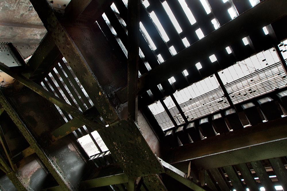
Train Bridge

Blue-winged Teal

Blue-winged Teal

Warrior Mountain WMA
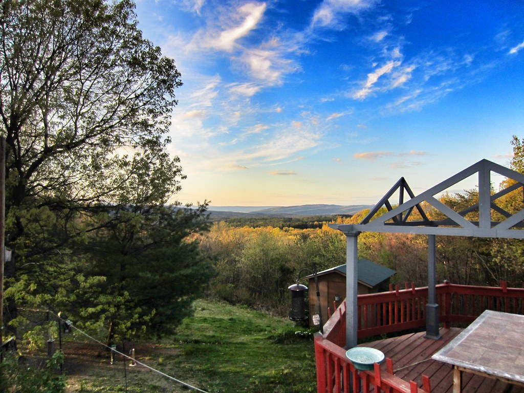
view from the deck

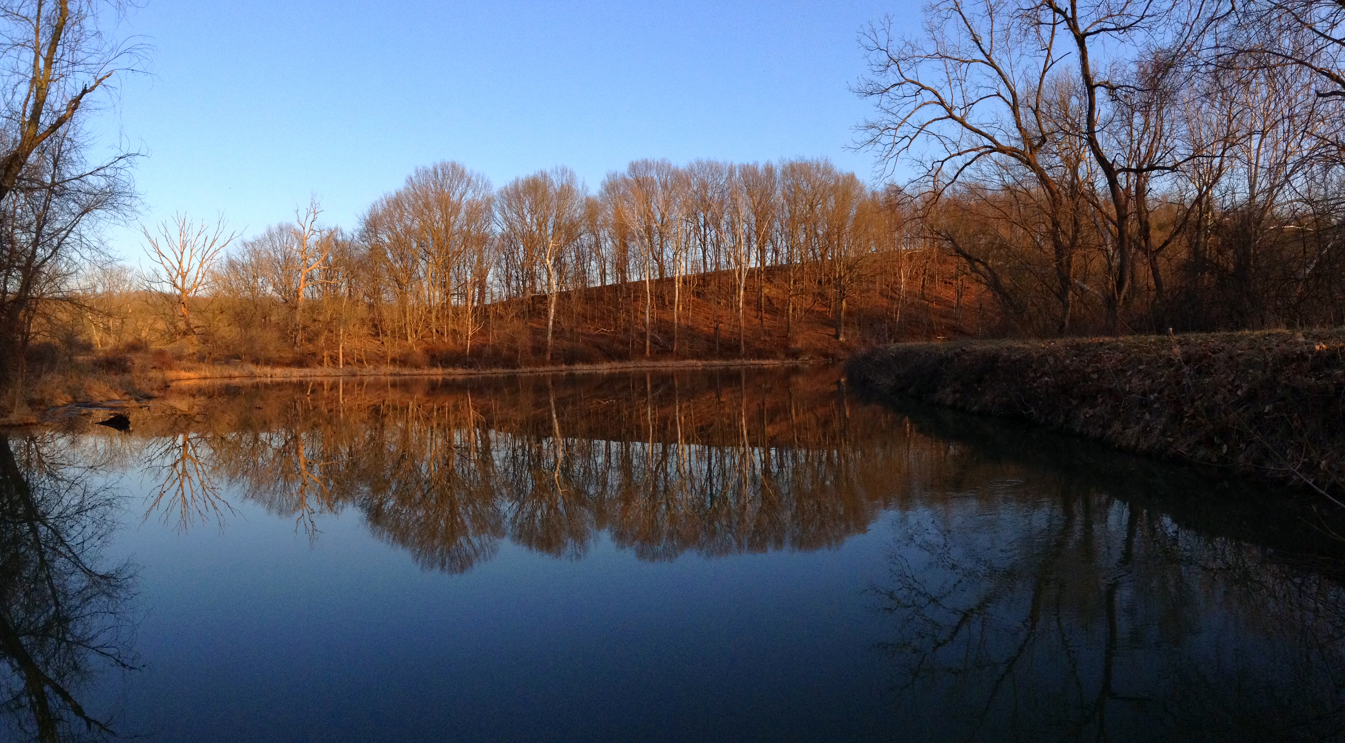
Reflection in water (2)

Graves in Indian Mound Cemetery

Headsville Methodist Church

Song Sparrow

Yellow #autumn #leaves along the sleepy #northforklittlecacaponriver #littlecacapon #littlecacaponriver #frenchburg #frenchburgwv #frenchburgwestvirginia #wv #westvirginia #wv_igers #autumn #fall #almostheaven #wildandwonderful #instanature #northwestern
C&O Canal, Oldtown, MD

Golden Country Road

Hurricane Isabel Flooding, Potomac Eagle, WV-September 2003

Till Next Spring
20100513 12 Maryland

A Good Year For Splendid Clubtails - 2

Bank of Romney, WV - ss

Maryland Railway Grade near Spring Gap, MD

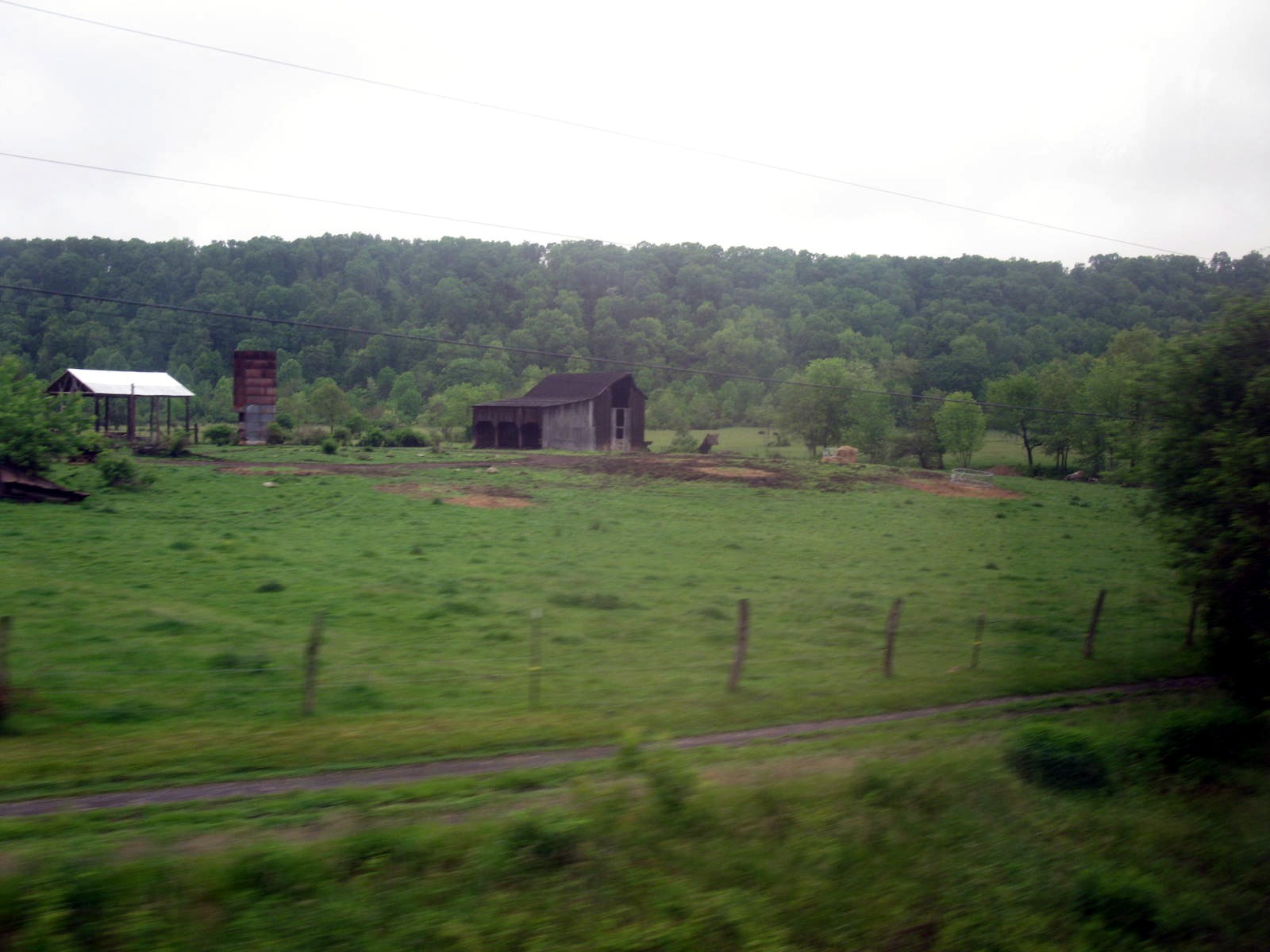
Farm near Romney (WV) November 12, 2011

Western Maryland Railway Grade near Spring Gap, MD

Fall Leaves in Warrior Mountain WMA

Lock 69, Partially Restored C and O Canal
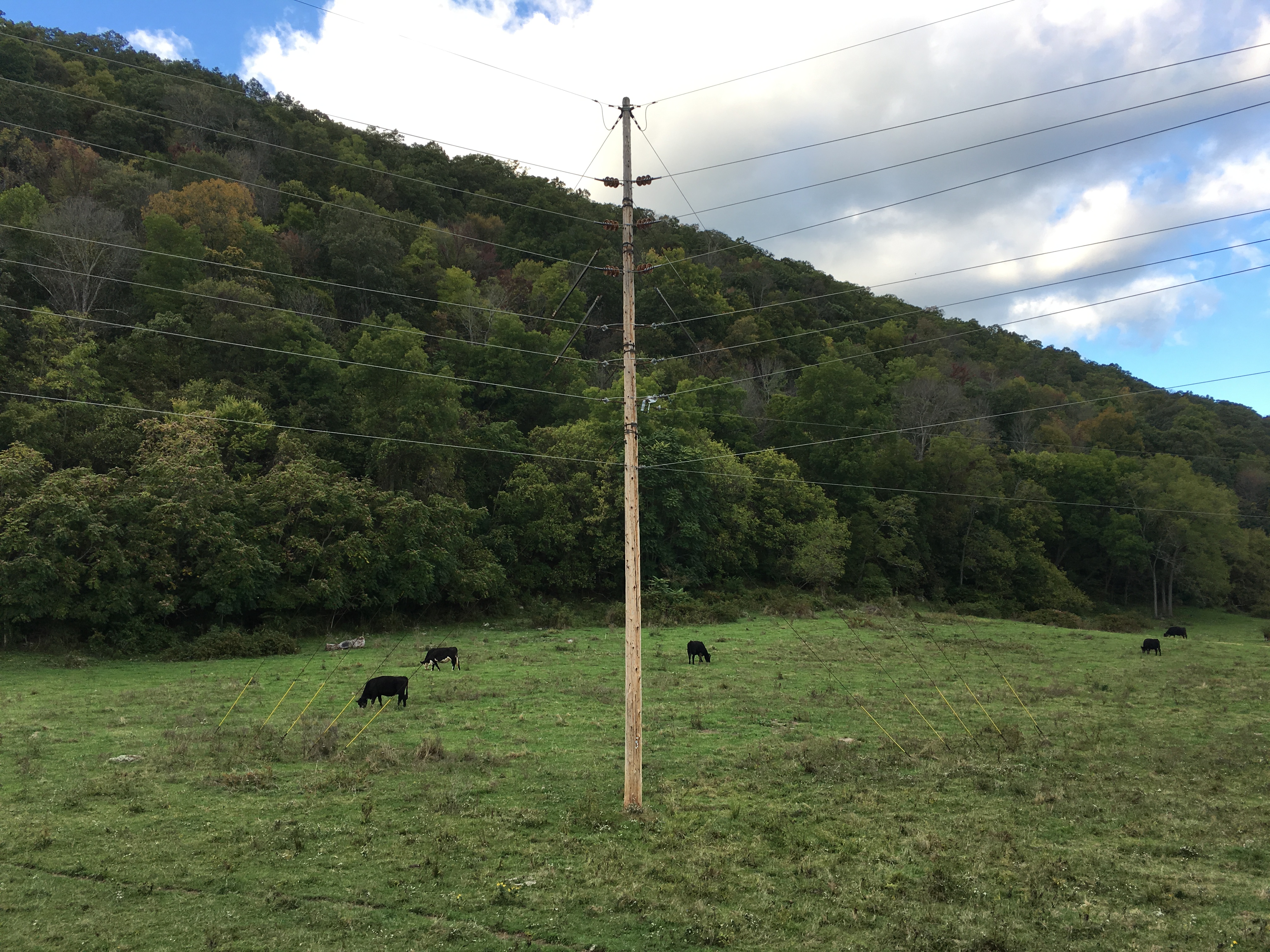
Rappahannock Electric
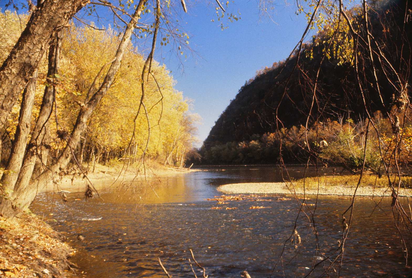
Potomac River
Topographic Map of Springfield, WV, USA
Find elevation by address:

Places in Springfield, WV, USA:
Places near Springfield, WV, USA:
Springfield
Springfield Pike, Springfield, WV, USA
1541 Springfield Pike
1541 Springfield Pike
1541 Springfield Pike
572 Crystal Valley Dr
1731 Brocket Dr
Our Lane
89 W Lake Dr
89 W Lake Dr
West Lake Drive
3, WV, USA
Gore
Oldtown
Levels
18627 Lower Town Creek Rd Se
1100 Longview Farms Ln
342 E Redstone Trail
342 E Redstone Trail
Lawyer Lane
Recent Searches:
- Elevation of Corso Fratelli Cairoli, 35, Macerata MC, Italy
- Elevation of Tallevast Rd, Sarasota, FL, USA
- Elevation of 4th St E, Sonoma, CA, USA
- Elevation of Black Hollow Rd, Pennsdale, PA, USA
- Elevation of Oakland Ave, Williamsport, PA, USA
- Elevation of Pedrógão Grande, Portugal
- Elevation of Klee Dr, Martinsburg, WV, USA
- Elevation of Via Roma, Pieranica CR, Italy
- Elevation of Tavkvetili Mountain, Georgia
- Elevation of Hartfords Bluff Cir, Mt Pleasant, SC, USA