Elevation of 89 W Lake Dr, 89 Lake Ferndale Dr, Springfield, WV, USA
Location: United States > West Virginia > Hampshire County > Springfield > Springfield >
Longitude: -78.618487
Latitude: 39.4725983
Elevation: 205m / 673feet
Barometric Pressure: 99KPa
Elevation Map:
Satellite Map:
Related Photos:

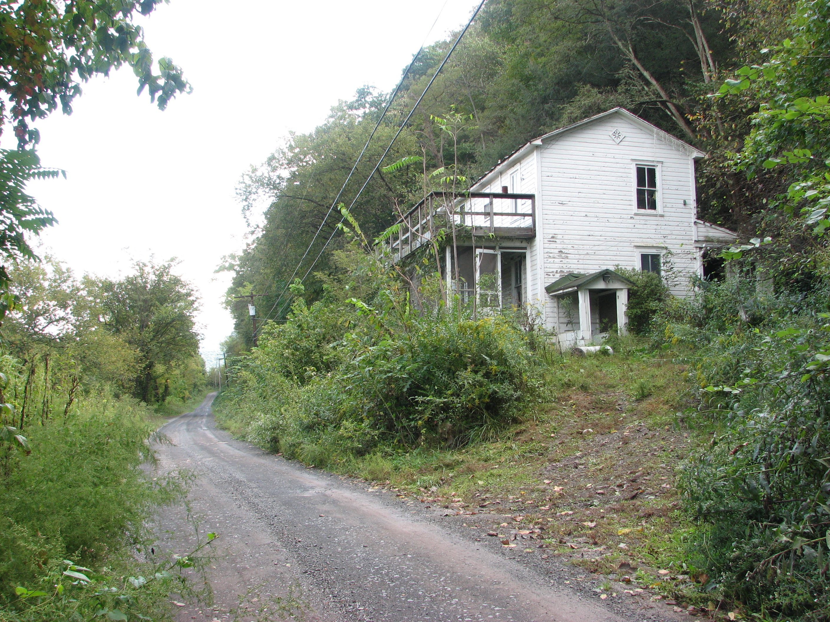
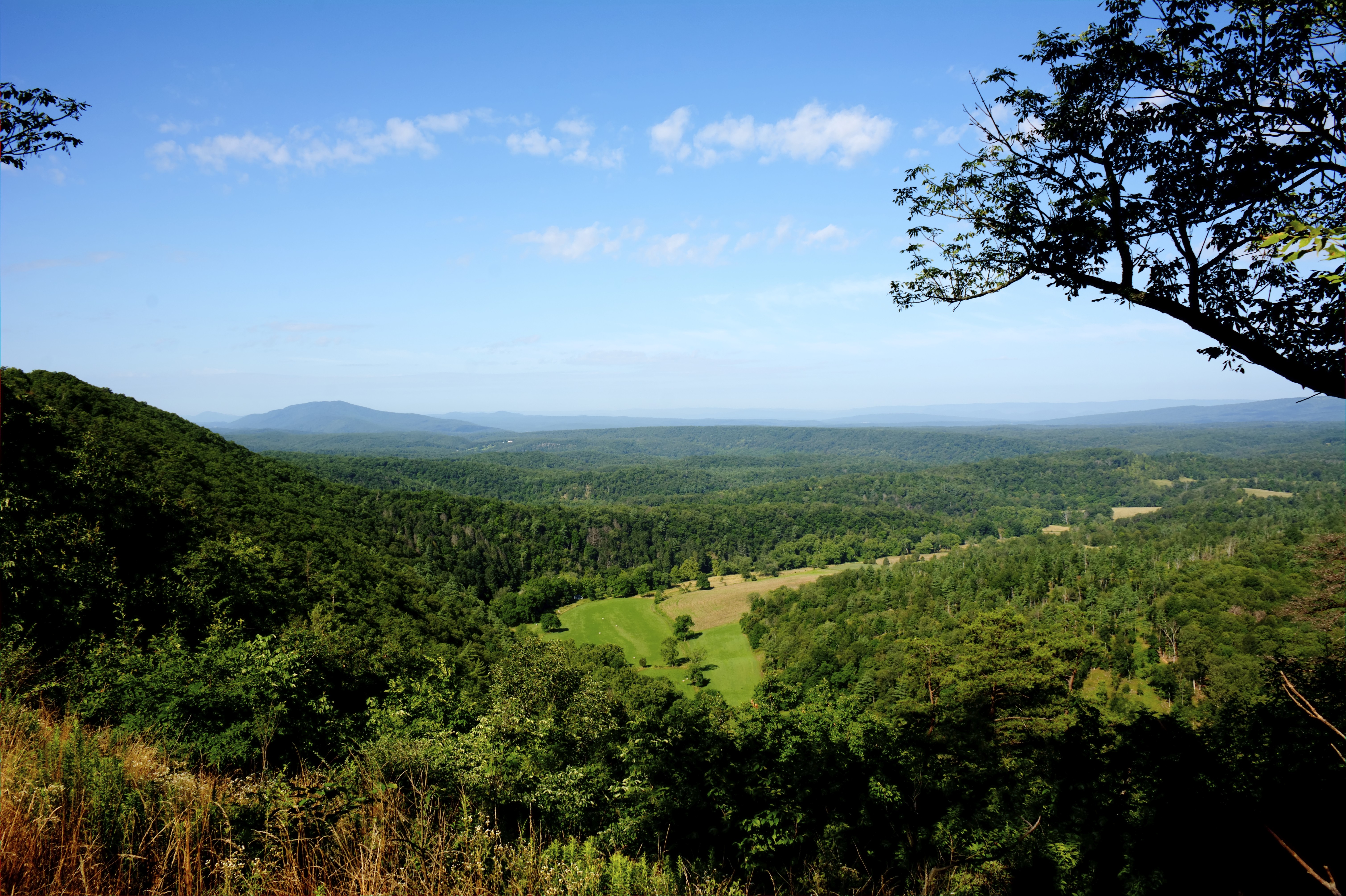
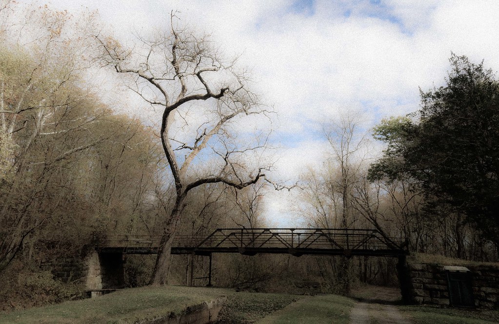
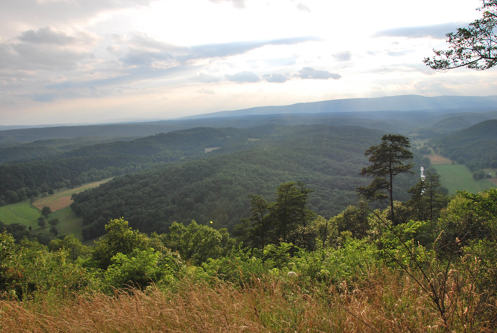
Tunnel View
IMG_2342.JPG
IMG_2331.JPG
IMG_2337.JPG

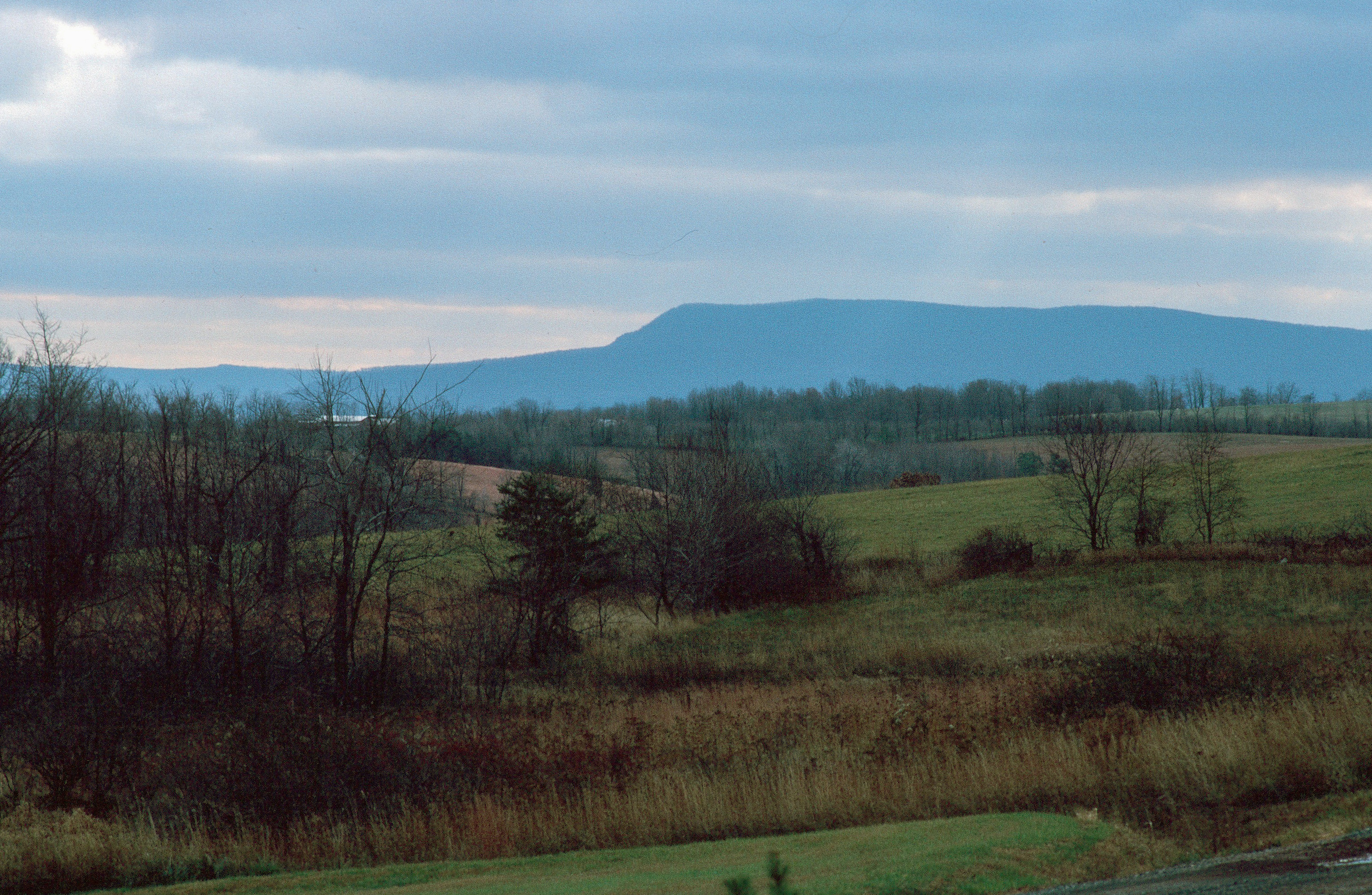
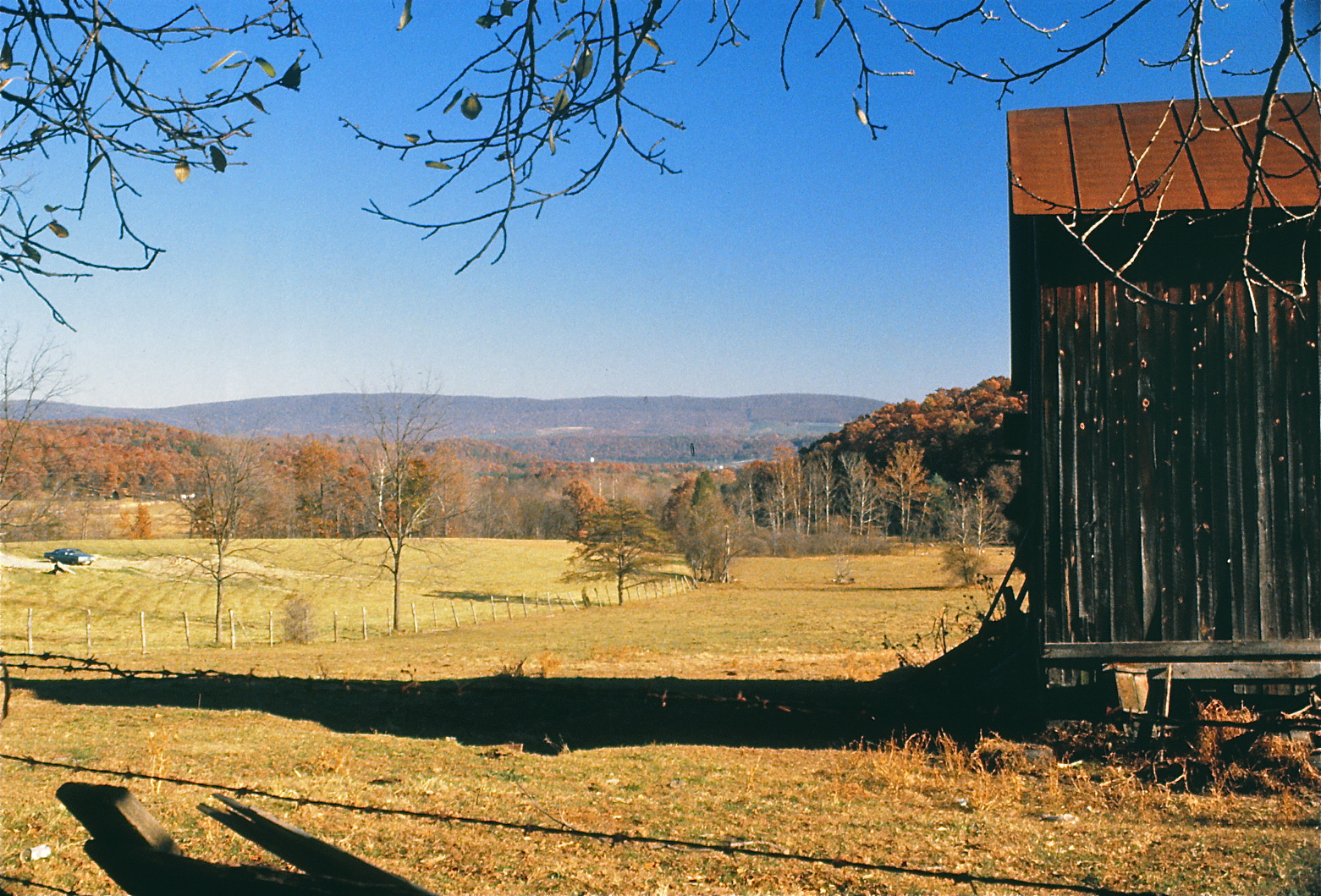
View Of Cumberland, Maryland From Nearby West Virginia Hill

Froggy McFrogster
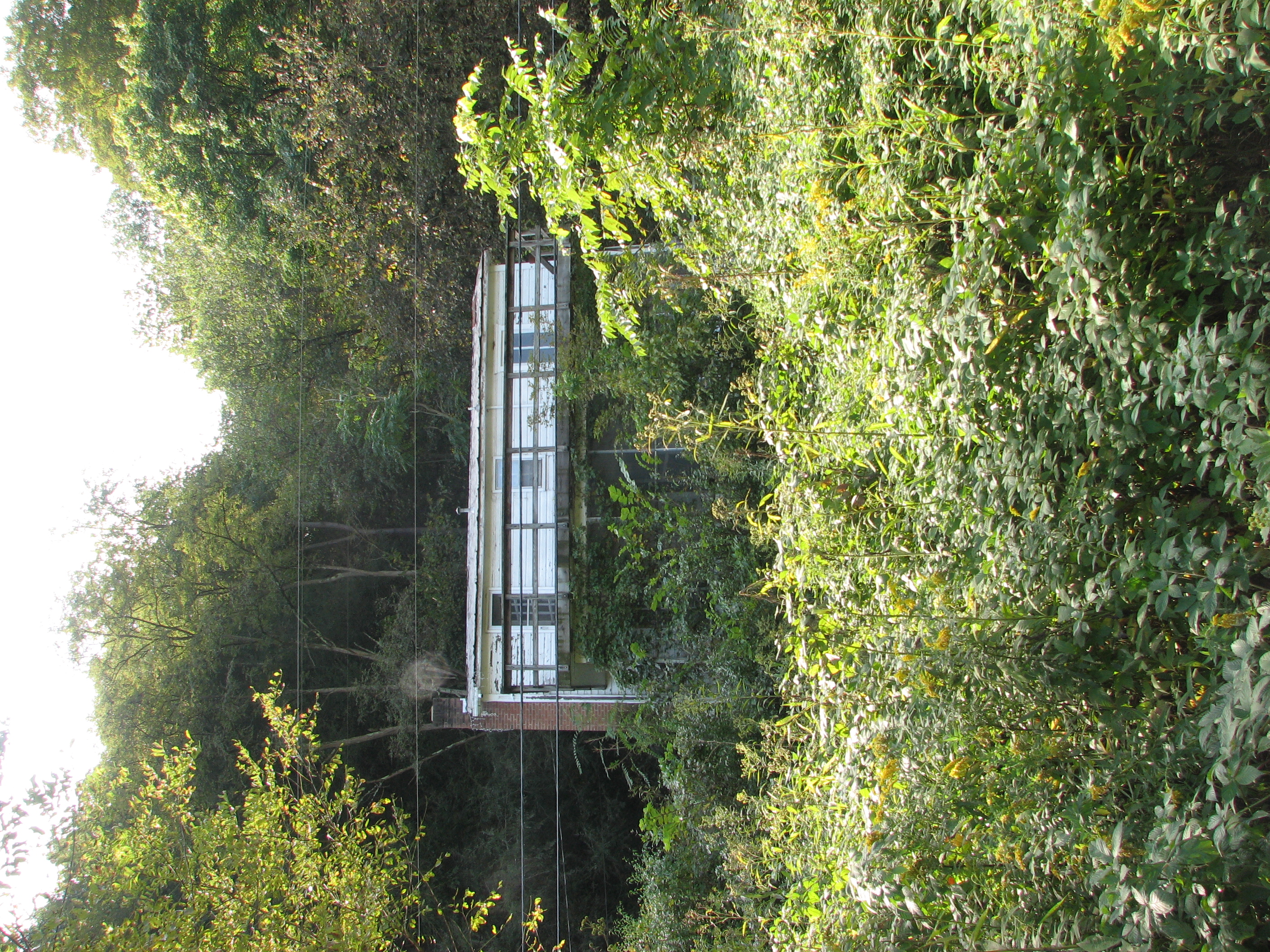
Tunnel View
Log Roll Overlook - Southwest
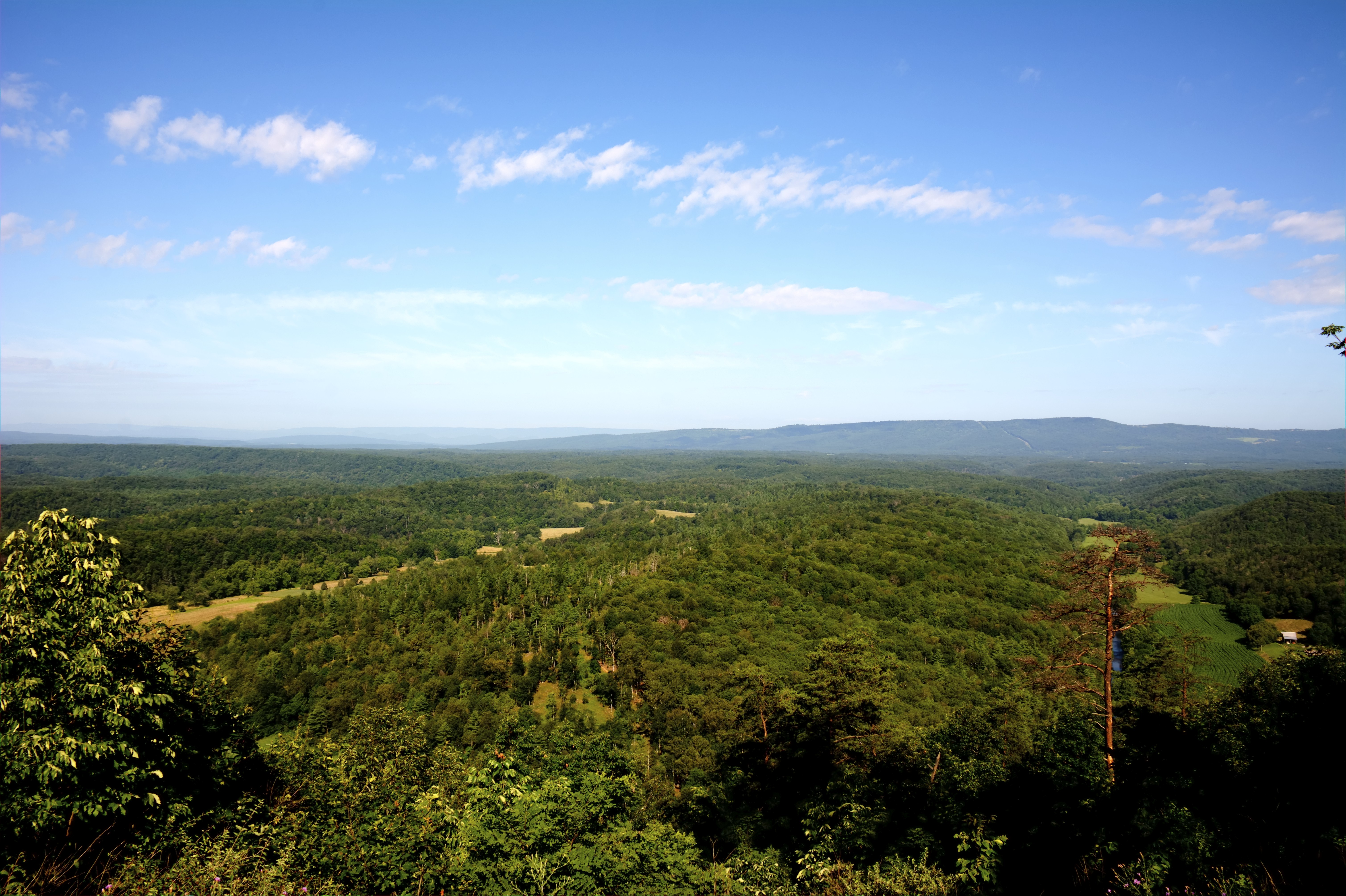
Log Roll Overlook - Northwest
IMG_2343.JPG
IMG_2334.JPG
IMG_2332.JPG
IMG_2345.JPG
Warrior Mountain WMA
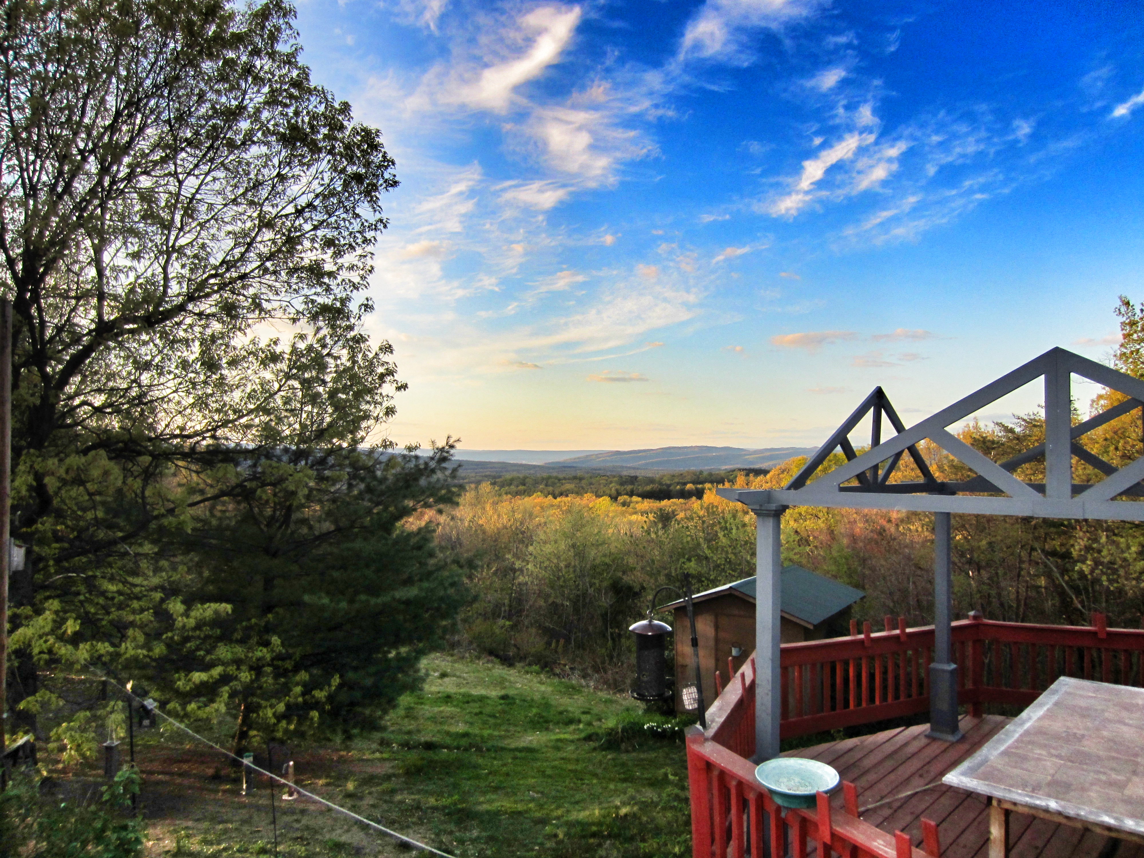
view from the deck

Nude Hiking - Avalon
Though leaves are many the root is one;
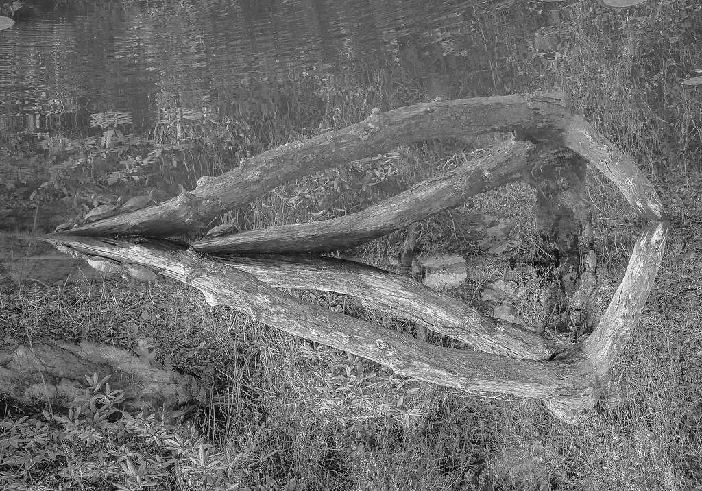
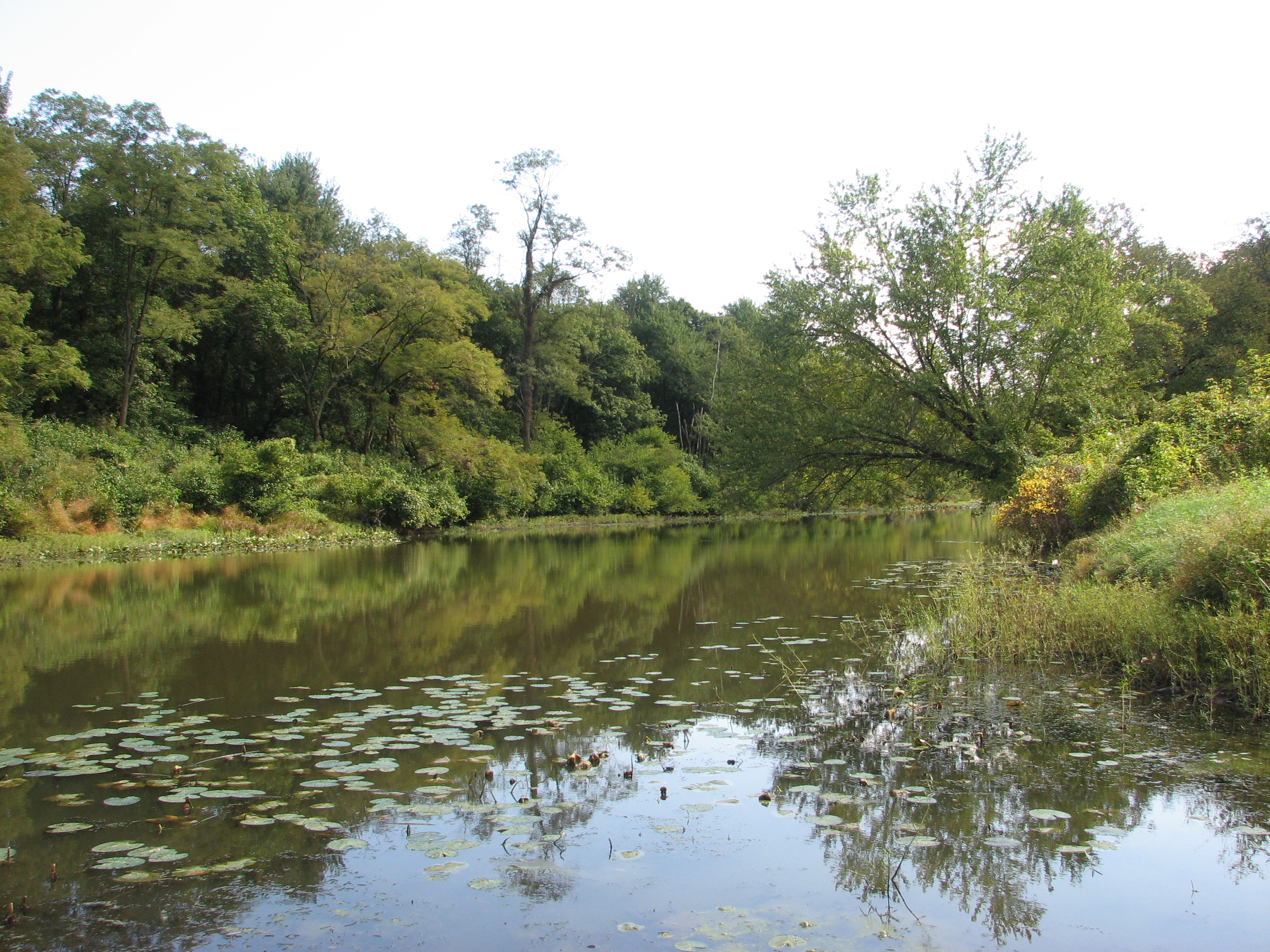
Reflection in water (2)
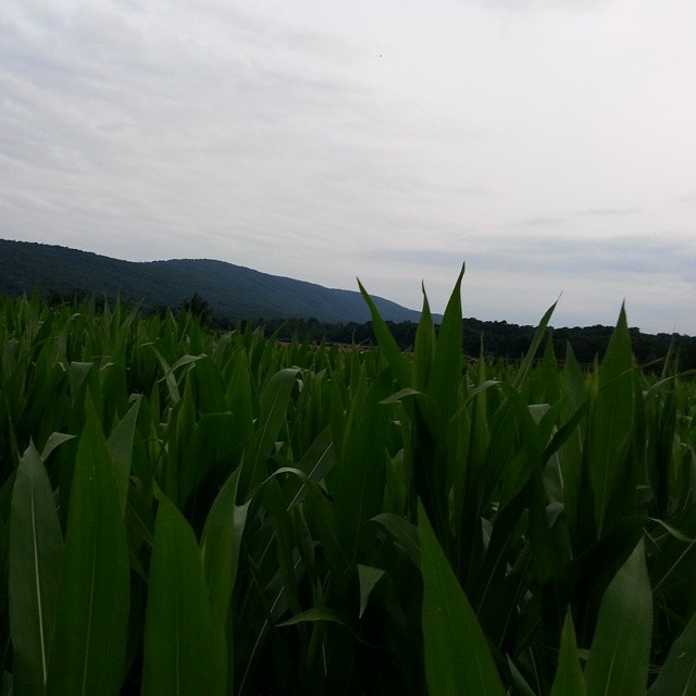
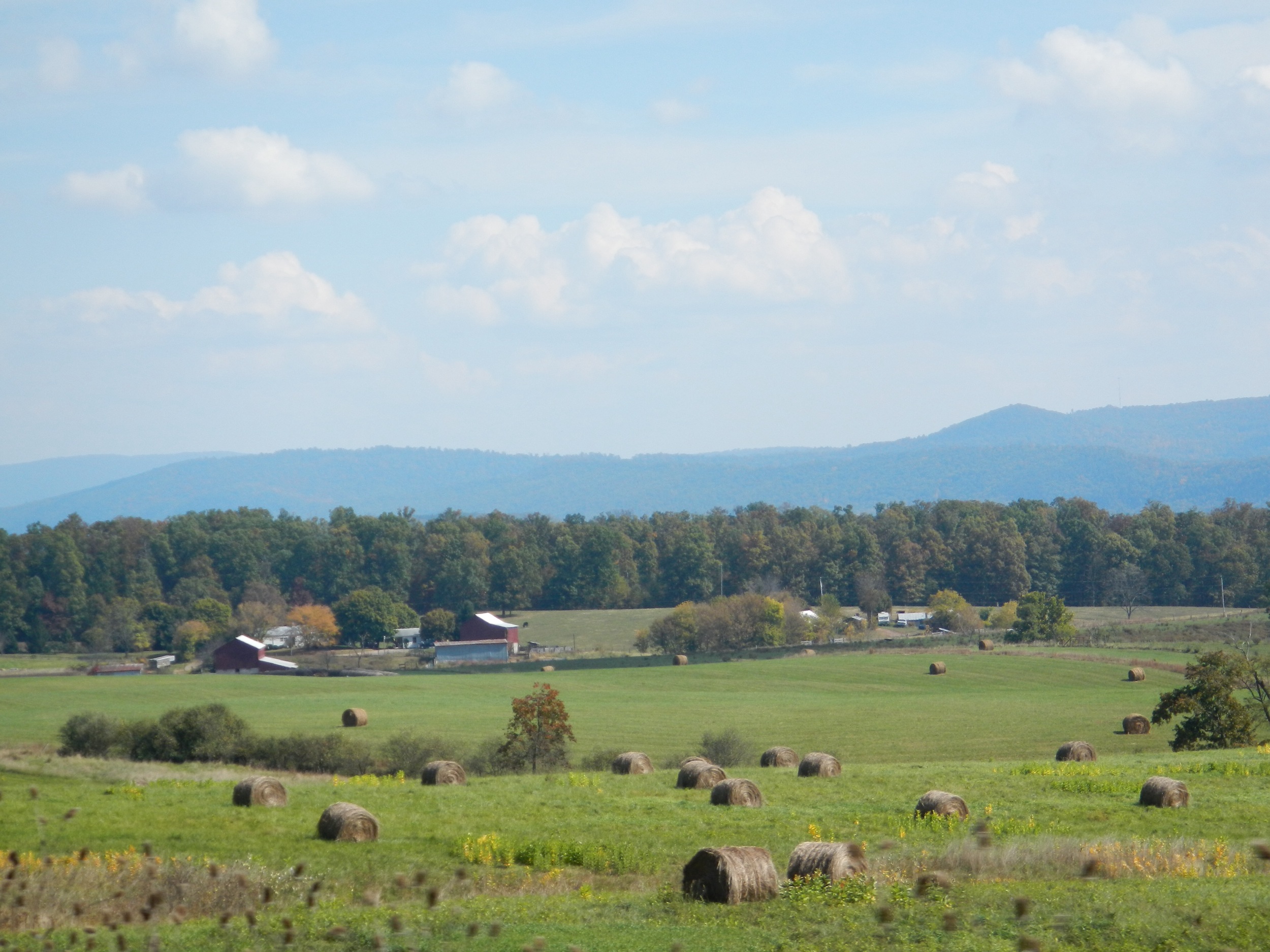
Yay! We got corn! #cornfield #nofilter #wvmountains

Camera Roll-1037
Potomac River

Washington DC
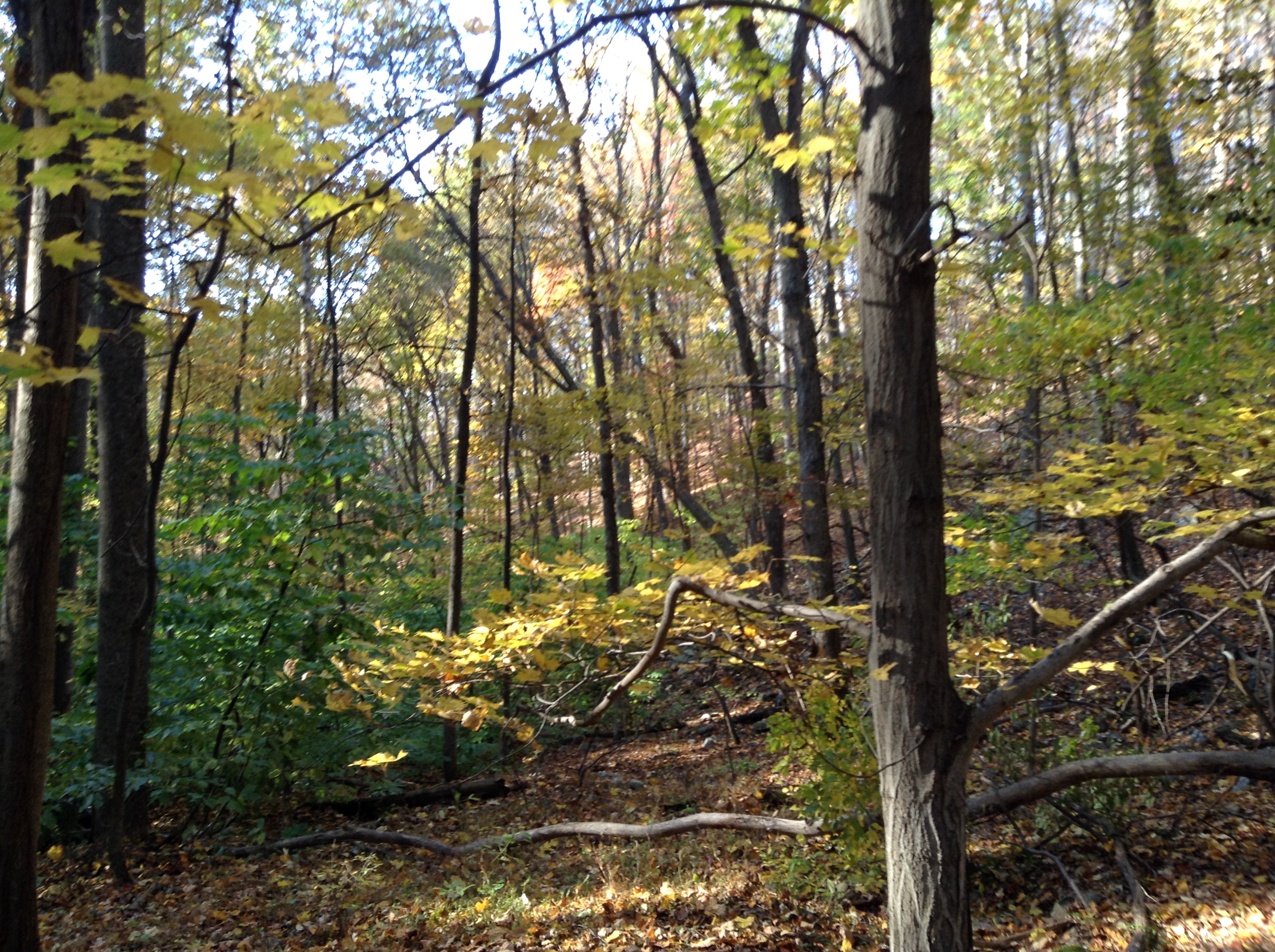
Fall Leaves in Warrior Mountain WMA
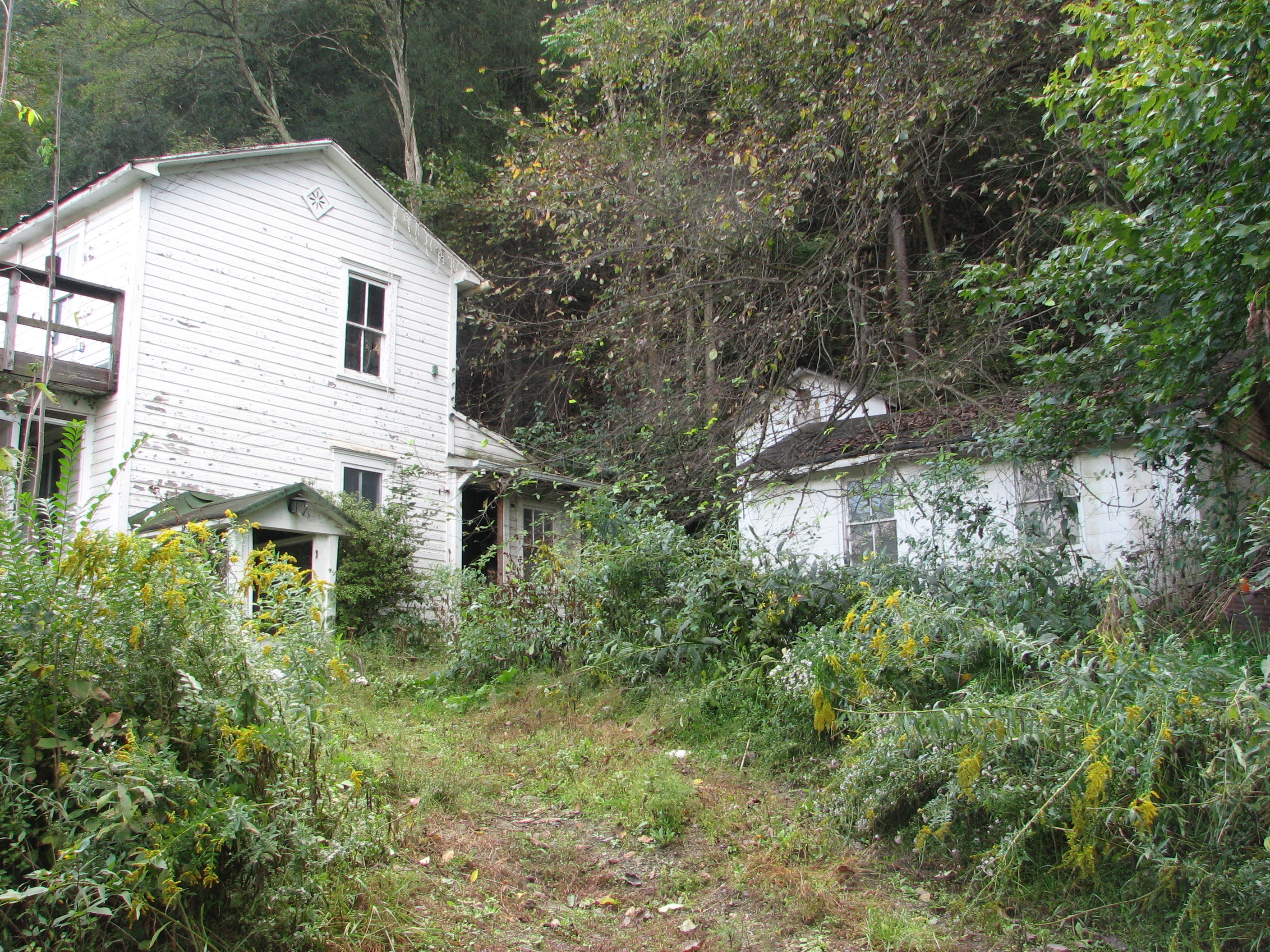
Mark and Marsha's

Mark and Marsha's
Optical illusion
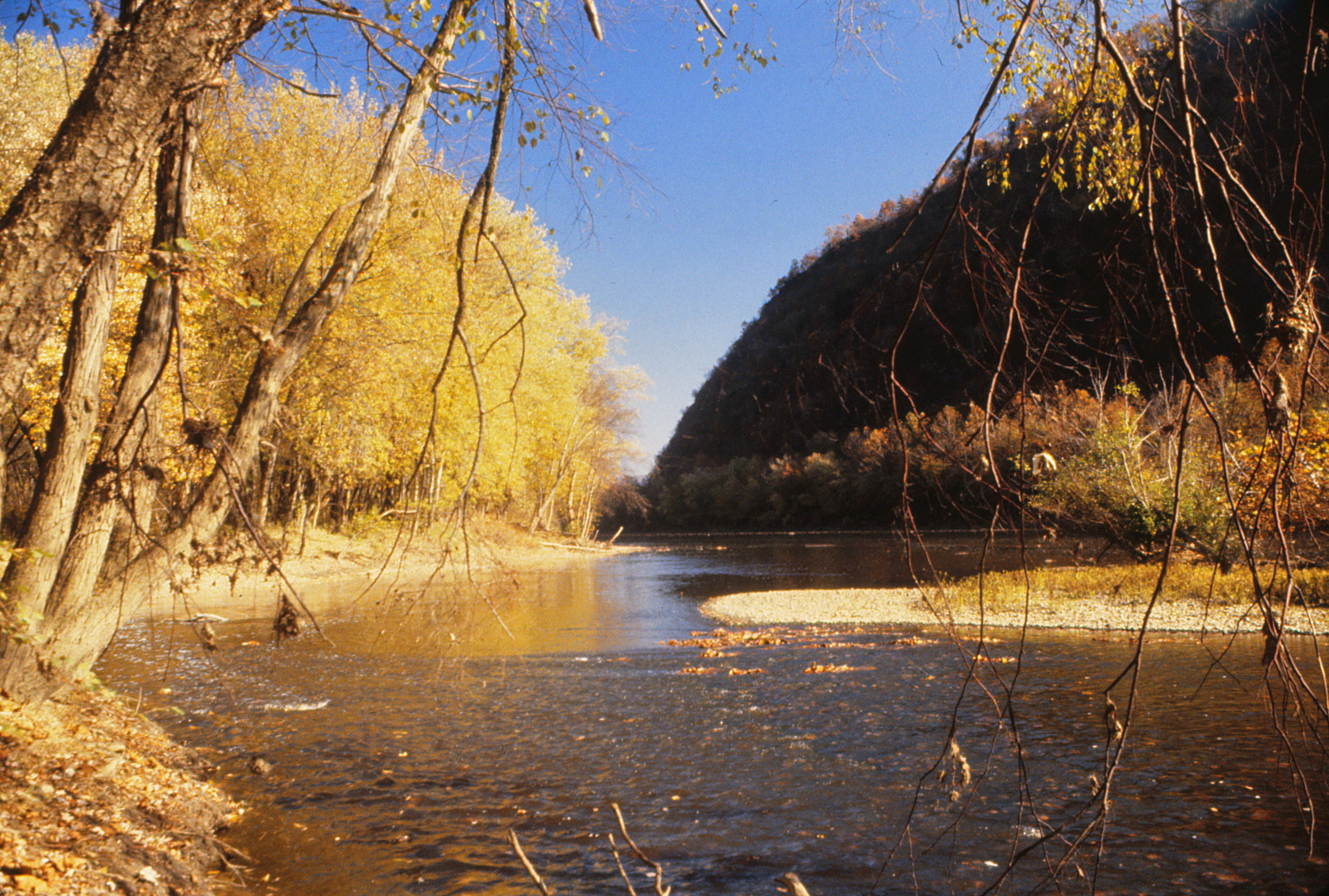
Bridge over the Potomac River

A Good Year For Splendid Clubtails - 2
Reckley Flat
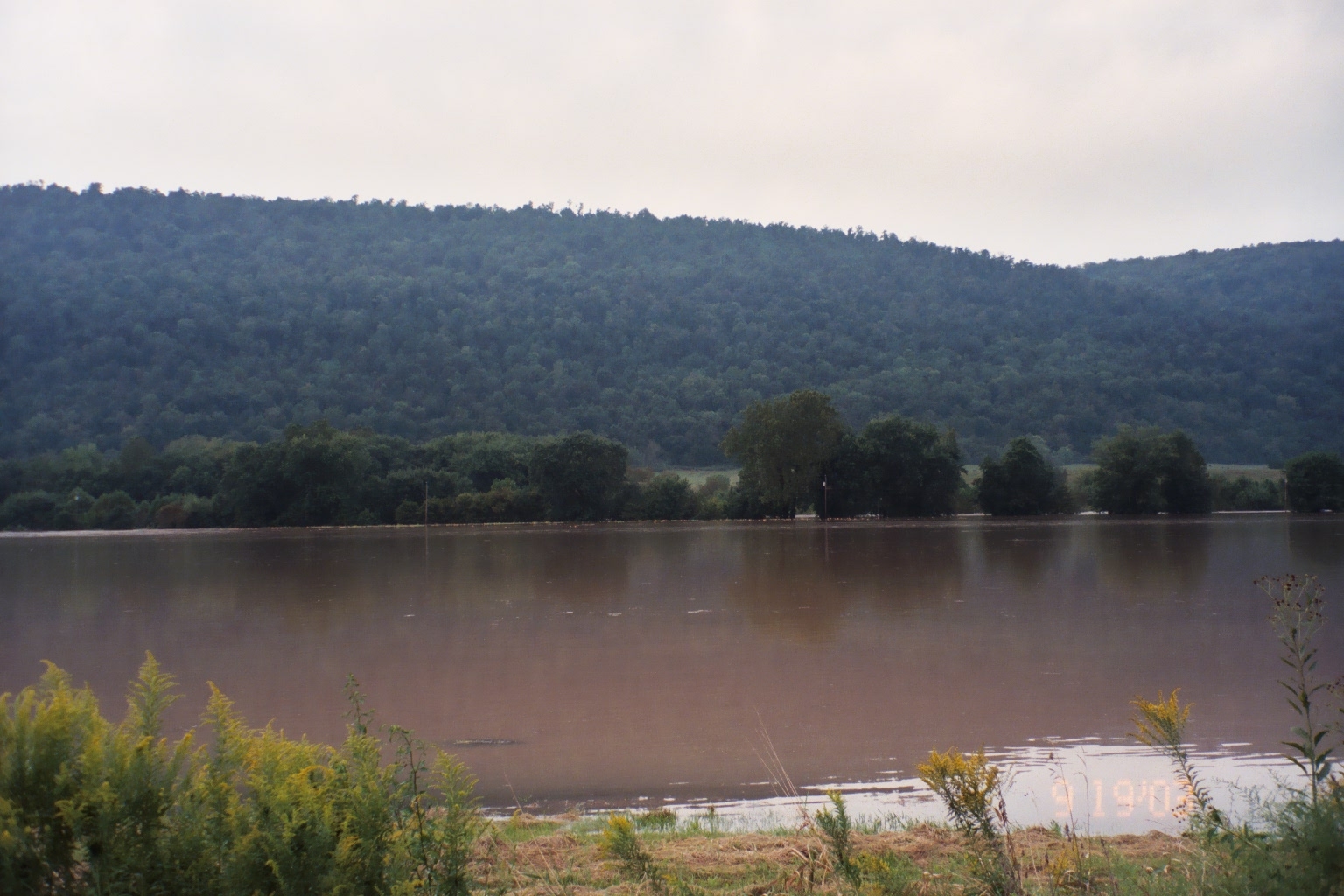
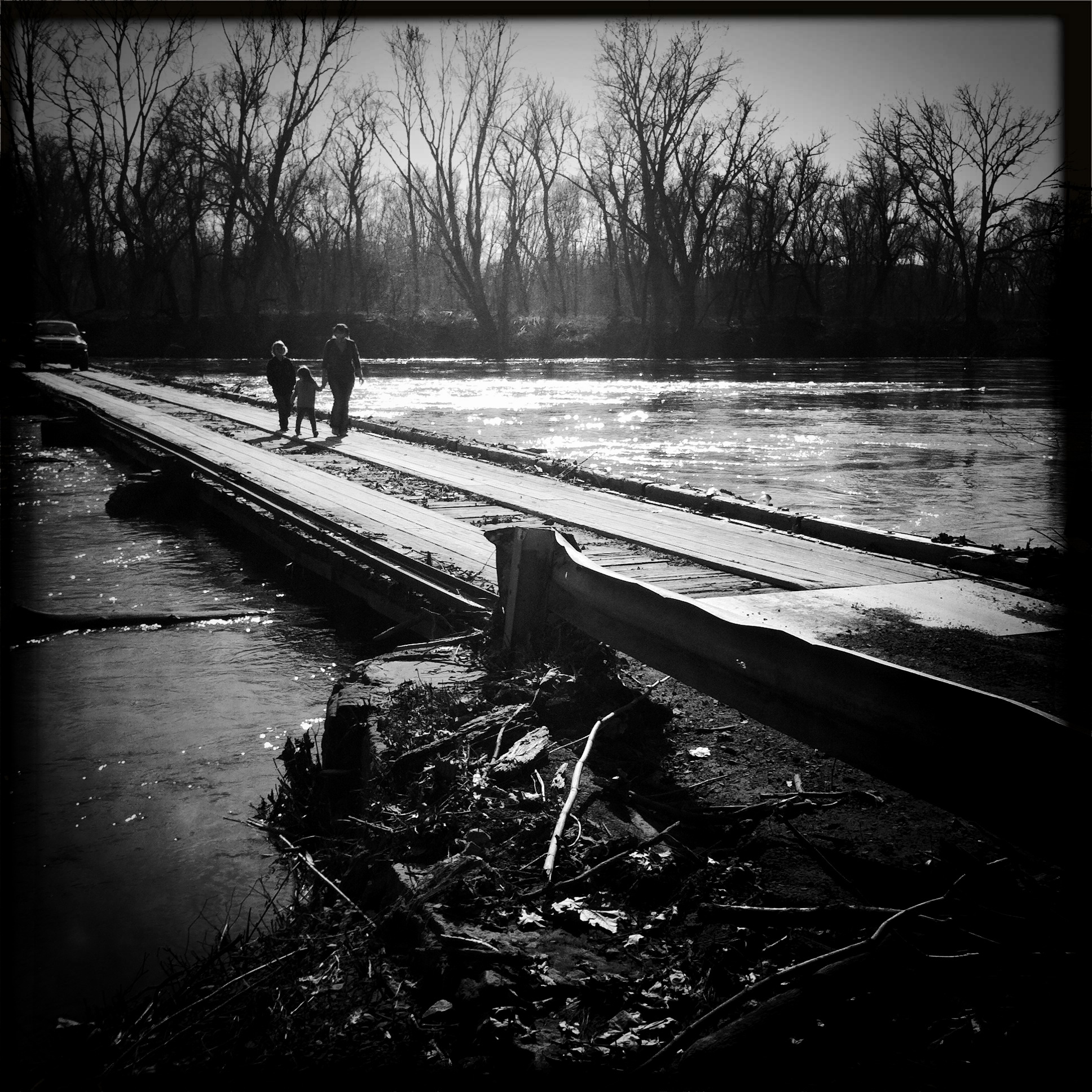
Hurricane Isabel Flooding, Potomac Eagle, WV-September 2003
Camera Roll-1036
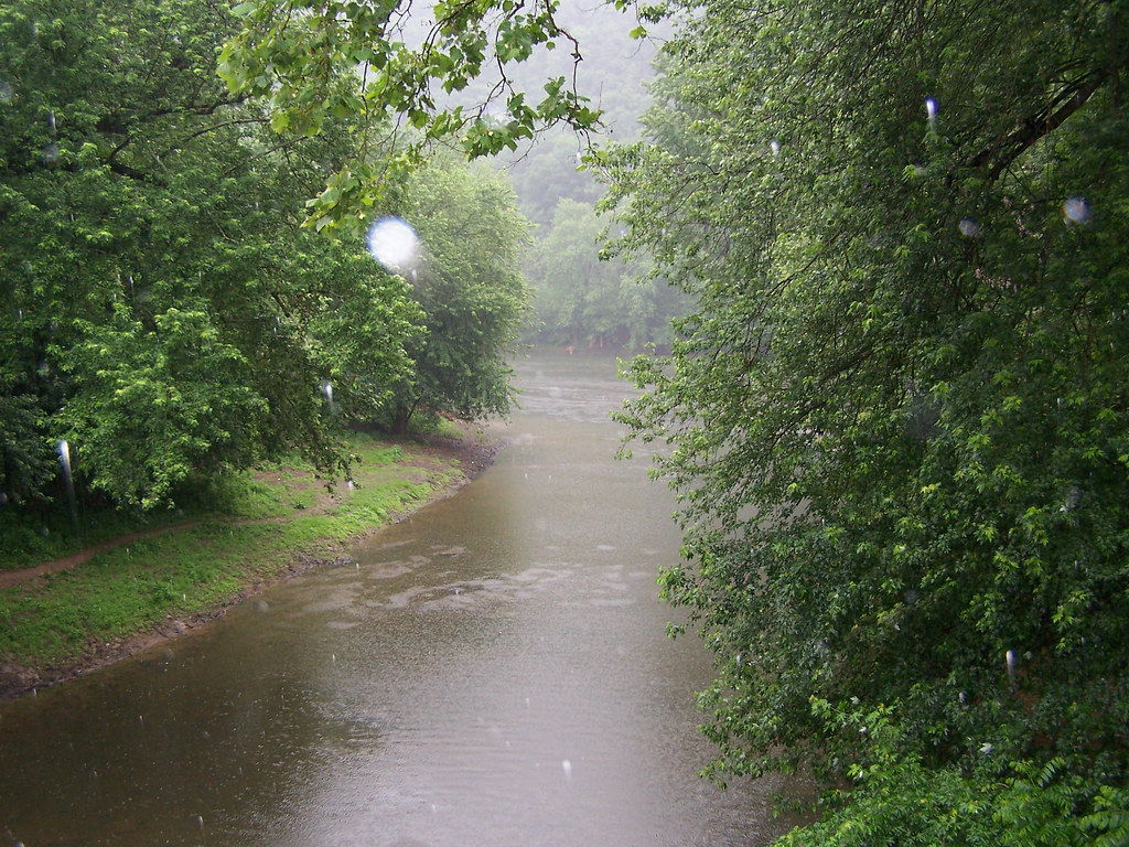
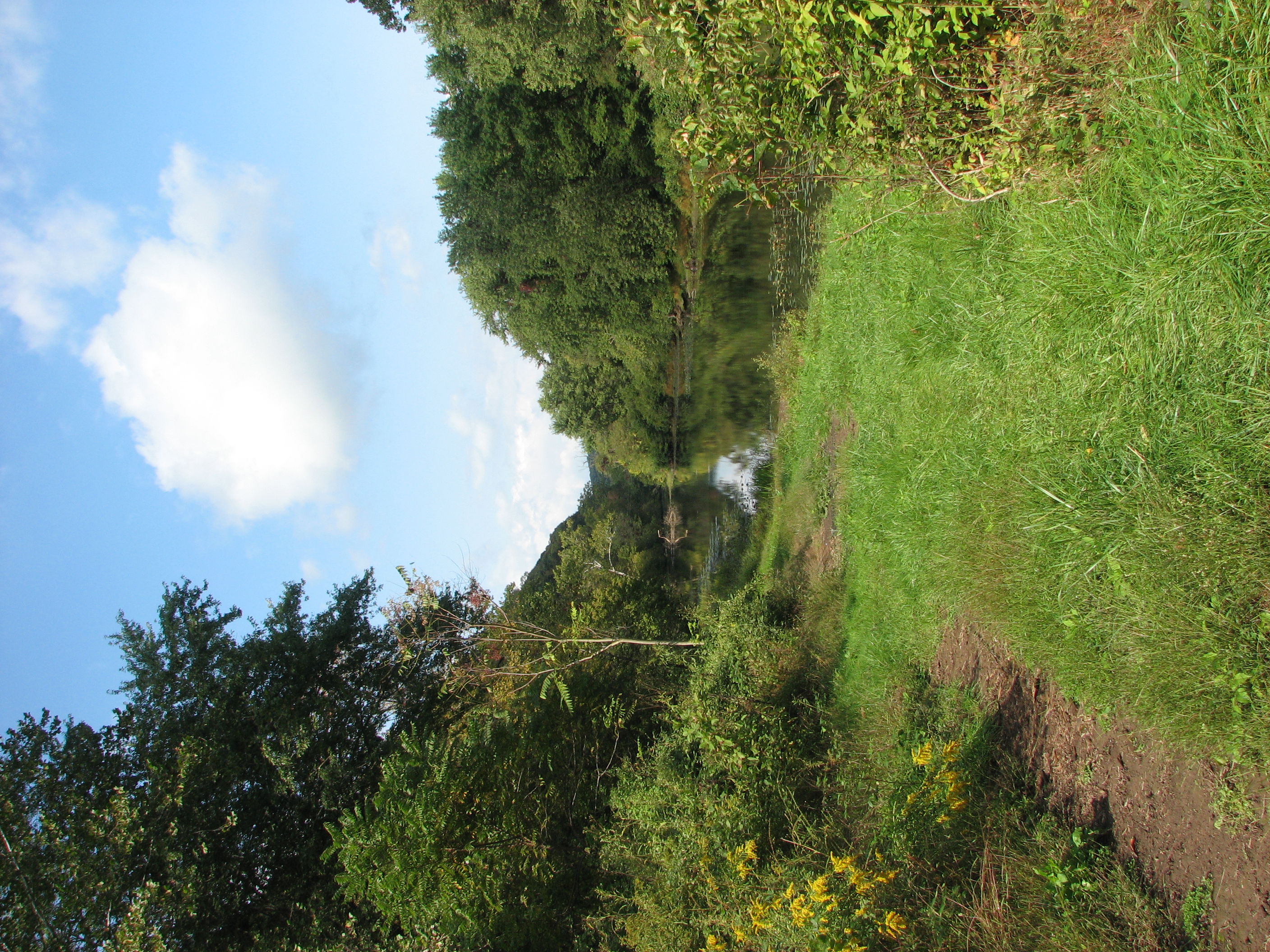
C&O Canal National Historical Park
Green Ridge State Forest
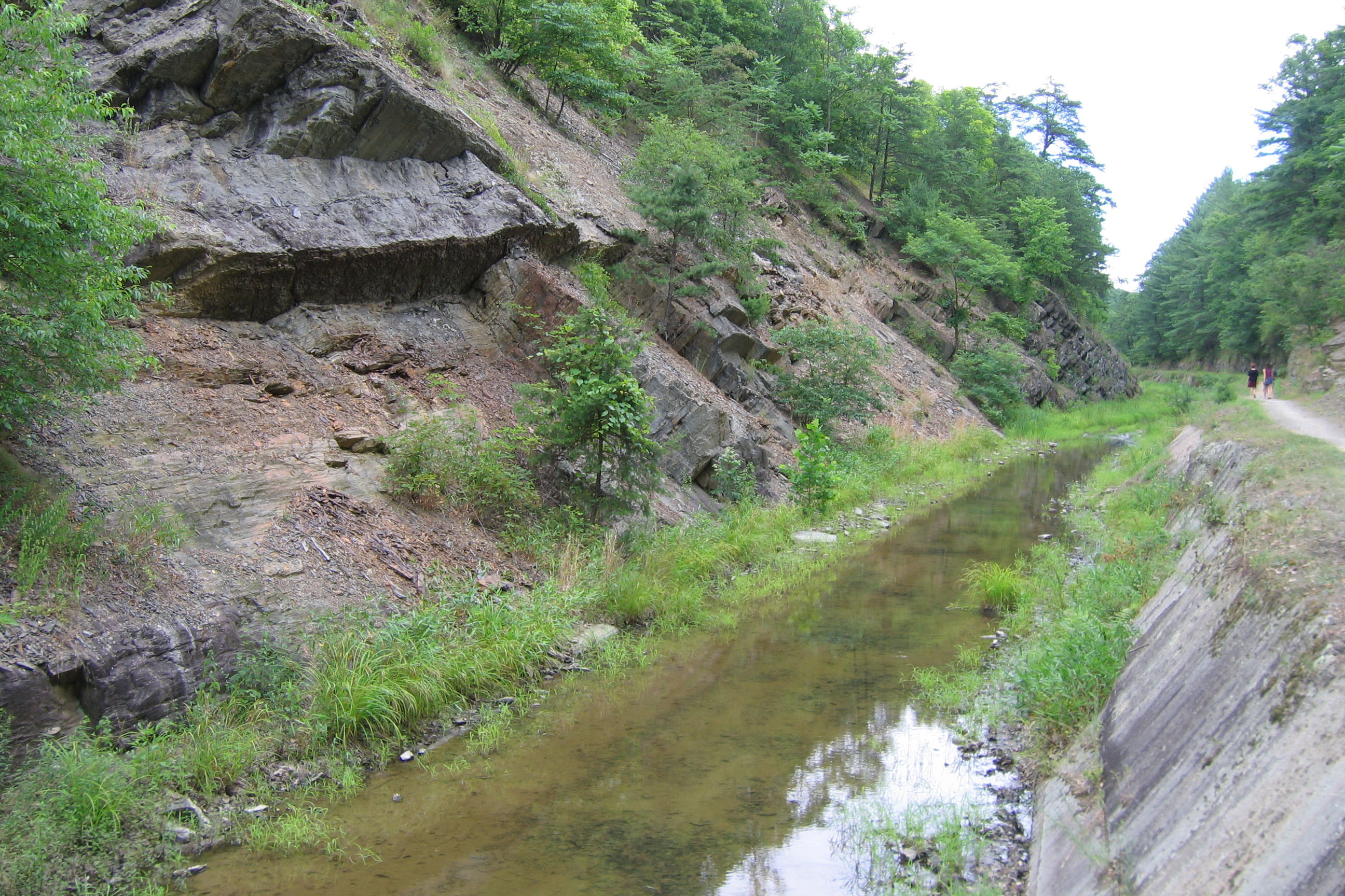
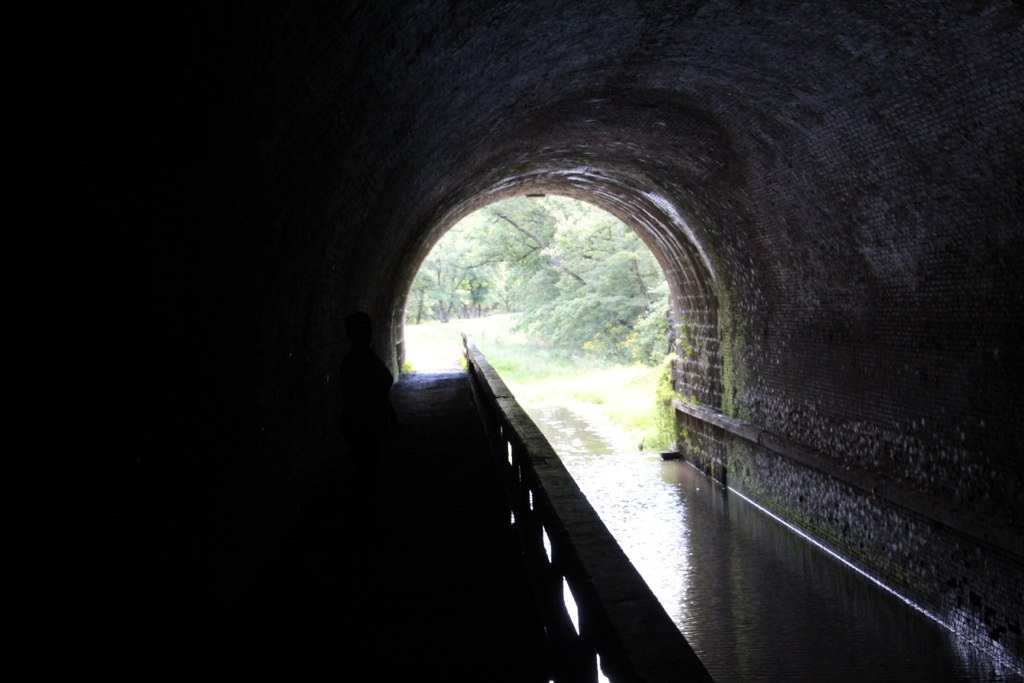
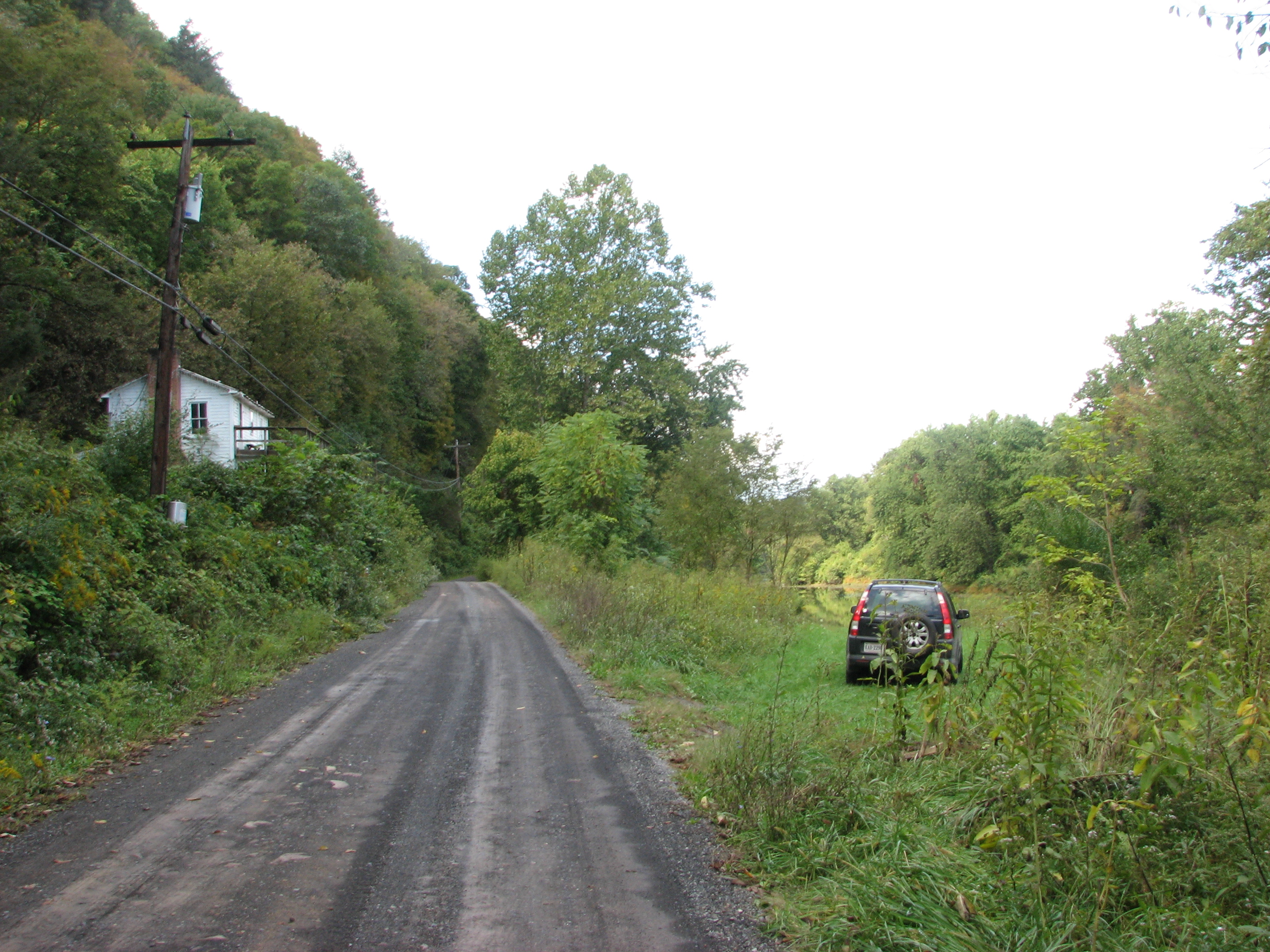
Paw Paw Tunnel Eastern Approach
Topographic Map of 89 W Lake Dr, 89 Lake Ferndale Dr, Springfield, WV, USA
Find elevation by address:

Places near 89 W Lake Dr, 89 Lake Ferndale Dr, Springfield, WV, USA:
89 W Lake Dr
West Lake Drive
1731 Brocket Dr
Our Lane
Springfield
Levels
Springfield Pike, Springfield, WV, USA
1541 Springfield Pike
1541 Springfield Pike
1541 Springfield Pike
Oldtown
Springfield
18627 Lower Town Creek Rd Se
Gore
572 Crystal Valley Dr
3, WV, USA
1100 Longview Farms Ln
342 E Redstone Trail
342 E Redstone Trail
Lawyer Lane
Recent Searches:
- Elevation of Corso Fratelli Cairoli, 35, Macerata MC, Italy
- Elevation of Tallevast Rd, Sarasota, FL, USA
- Elevation of 4th St E, Sonoma, CA, USA
- Elevation of Black Hollow Rd, Pennsdale, PA, USA
- Elevation of Oakland Ave, Williamsport, PA, USA
- Elevation of Pedrógão Grande, Portugal
- Elevation of Klee Dr, Martinsburg, WV, USA
- Elevation of Via Roma, Pieranica CR, Italy
- Elevation of Tavkvetili Mountain, Georgia
- Elevation of Hartfords Bluff Cir, Mt Pleasant, SC, USA