Elevation of Brocket Dr, Springfield, WV, USA
Location: United States > West Virginia > Hampshire County > Springfield > Springfield >
Longitude: -78.639696
Latitude: 39.4336159
Elevation: 380m / 1247feet
Barometric Pressure: 97KPa
Elevation Map:
Satellite Map:
Related Photos:
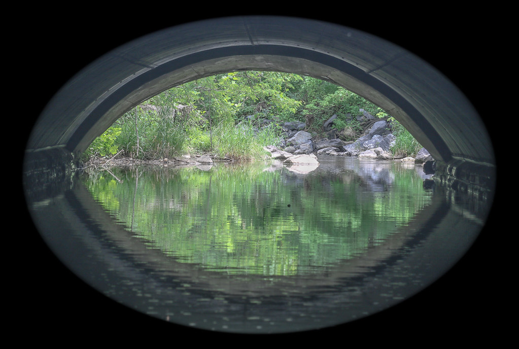
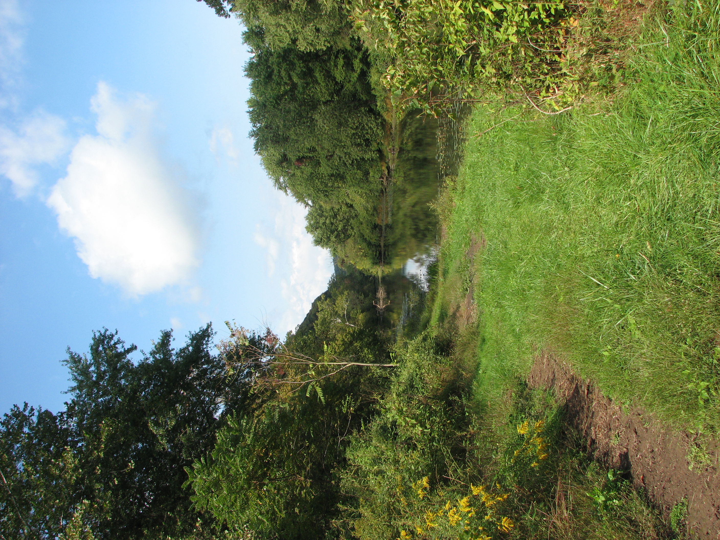
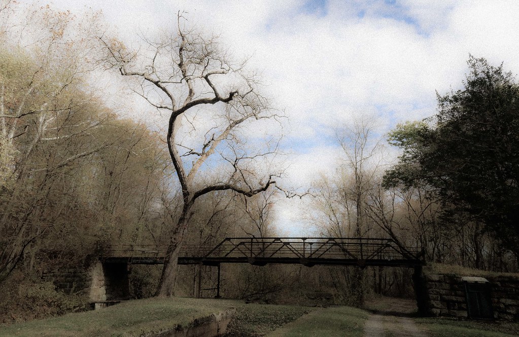
Symmetry: View through Historic Culvert 217
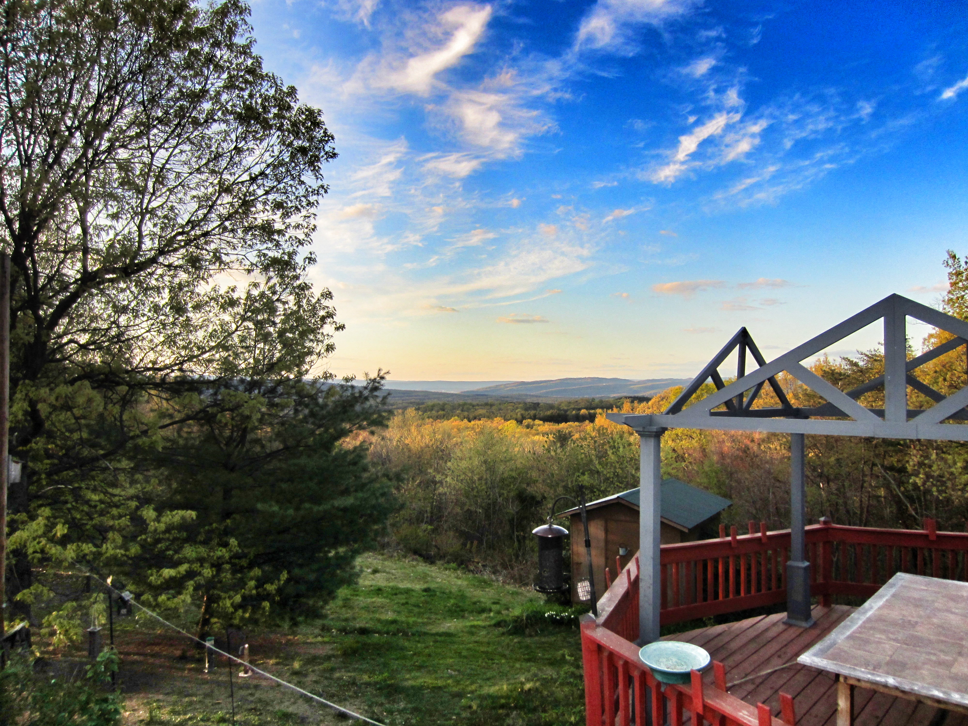
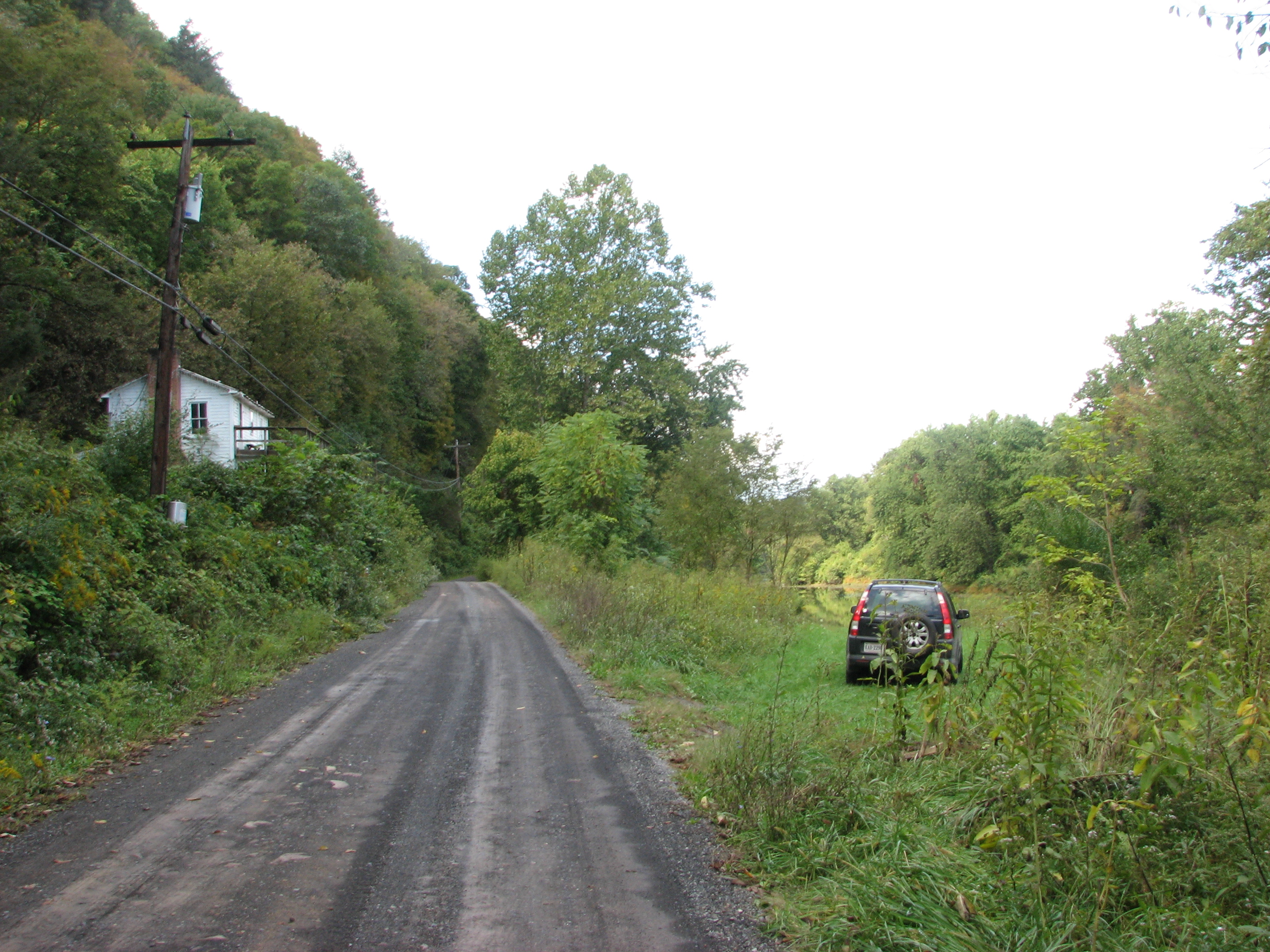
view from the deck

Centennial Ride '89 -- Day 2, August 20

Sawmill Ridge
IMG_2342.JPG
IMG_2334.JPG
IMG_2332.JPG
IMG_2345.JPG
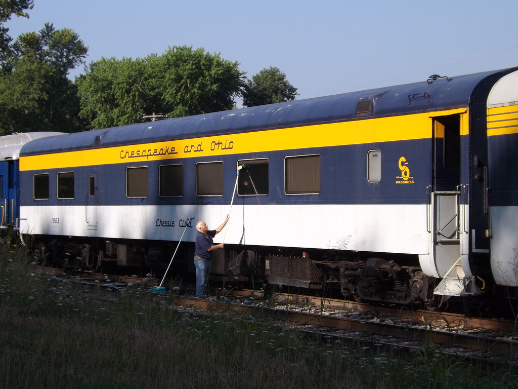
Chessie Club 1903

Nude Hiking - Avalon
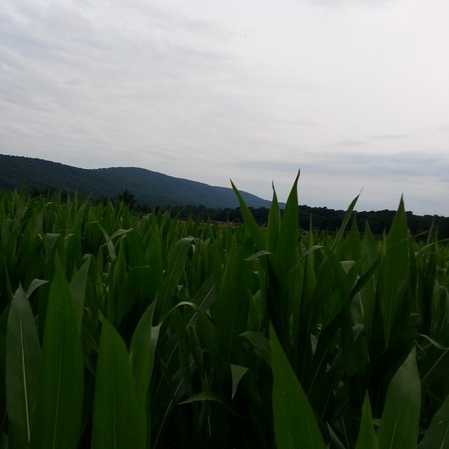
Yay! We got corn! #cornfield #nofilter #wvmountains
Though leaves are many the root is one;

Yellow #autumn #leaves along the sleepy #northforklittlecacaponriver #littlecacapon #littlecacaponriver #frenchburg #frenchburgwv #frenchburgwestvirginia #wv #westvirginia #wv_igers #autumn #fall #almostheaven #wildandwonderful #instanature #northwestern

Camera Roll-1037
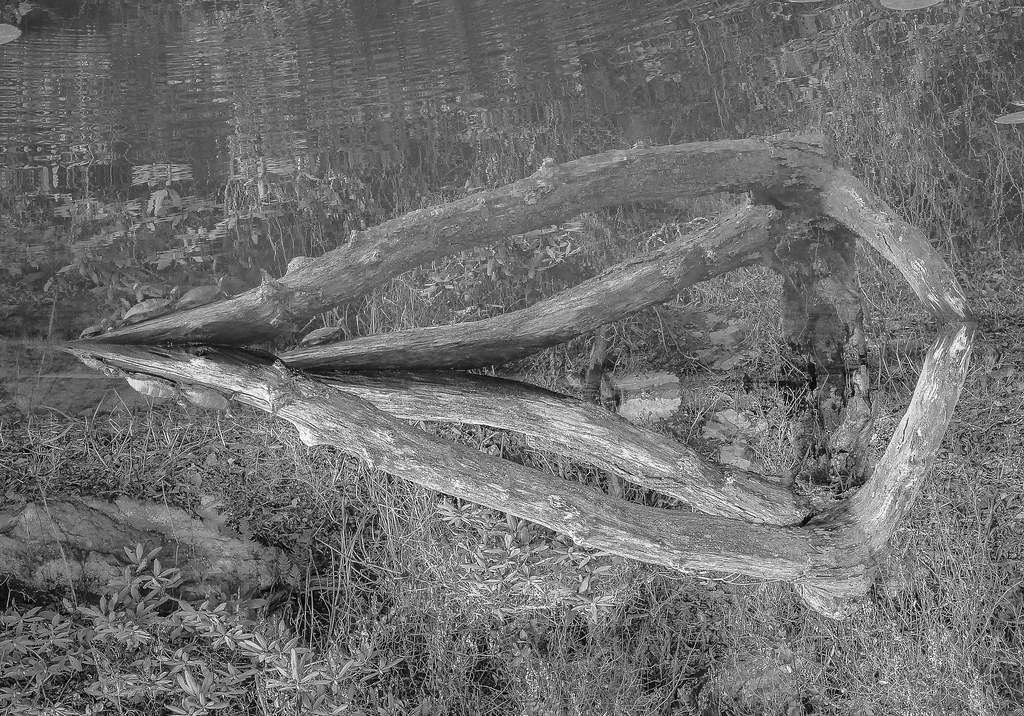
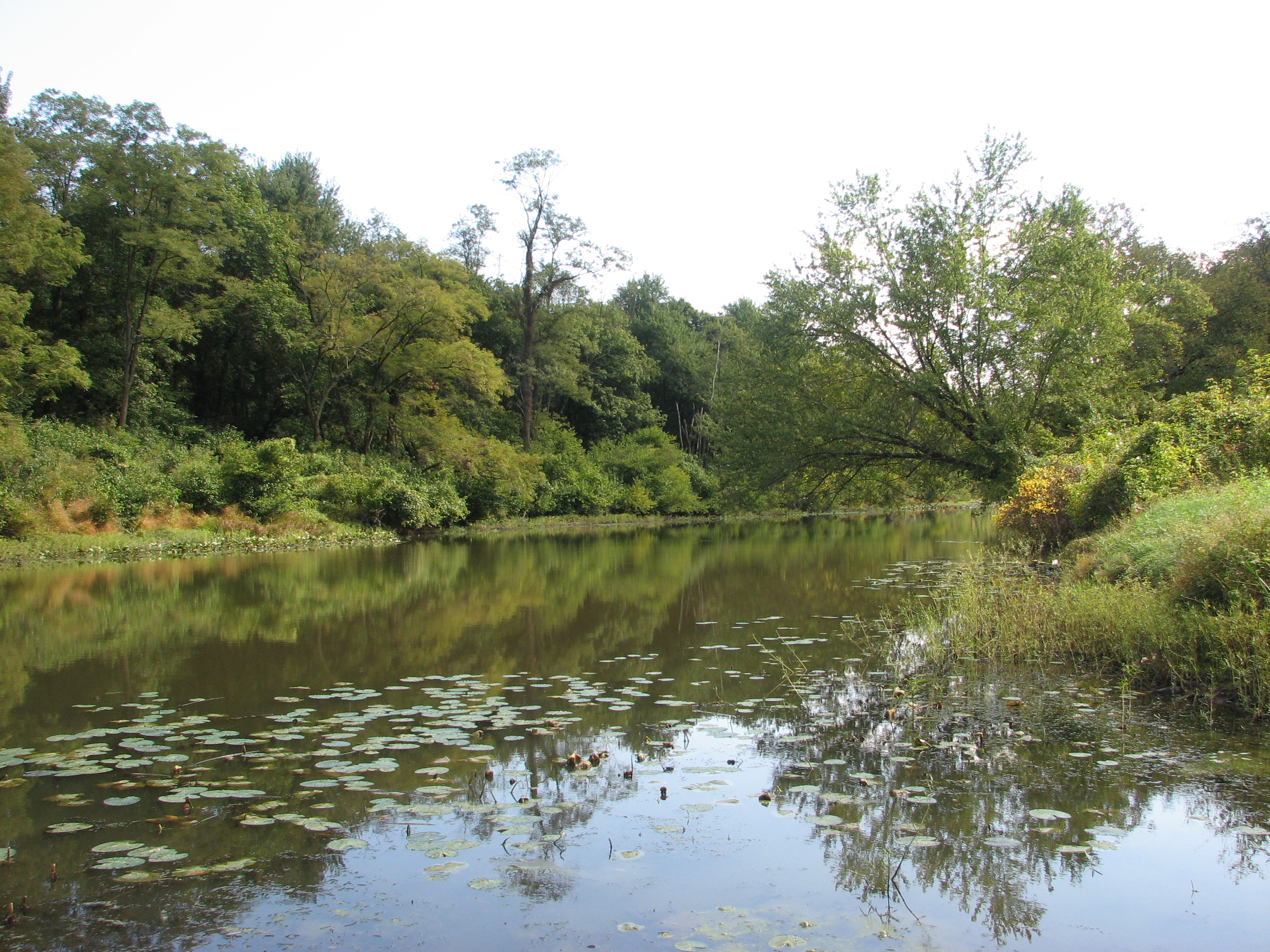
Reflection in water (2)
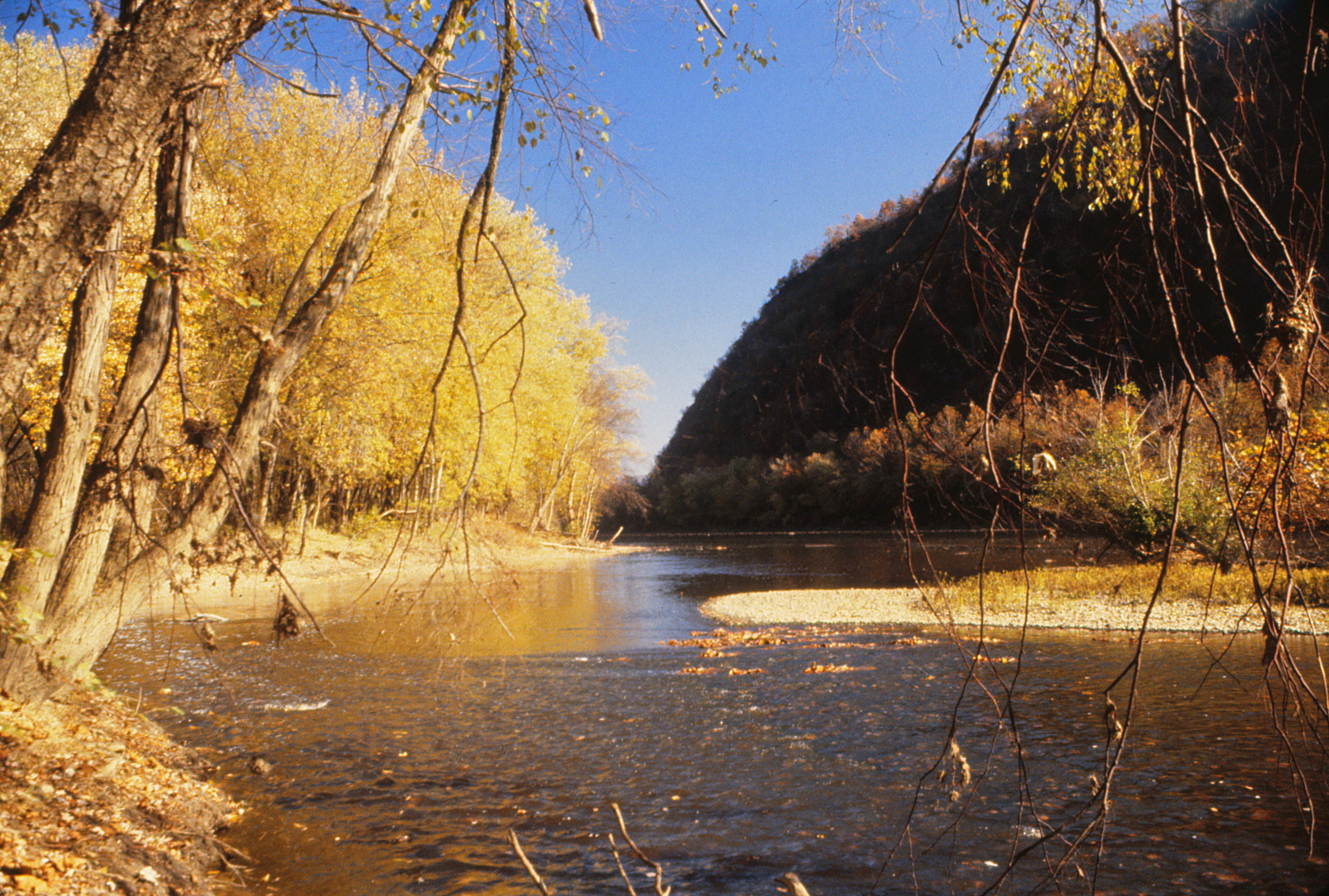
Potomac River
Optical illusion

Washington DC
Mark and Marsha's

Mark and Marsha's

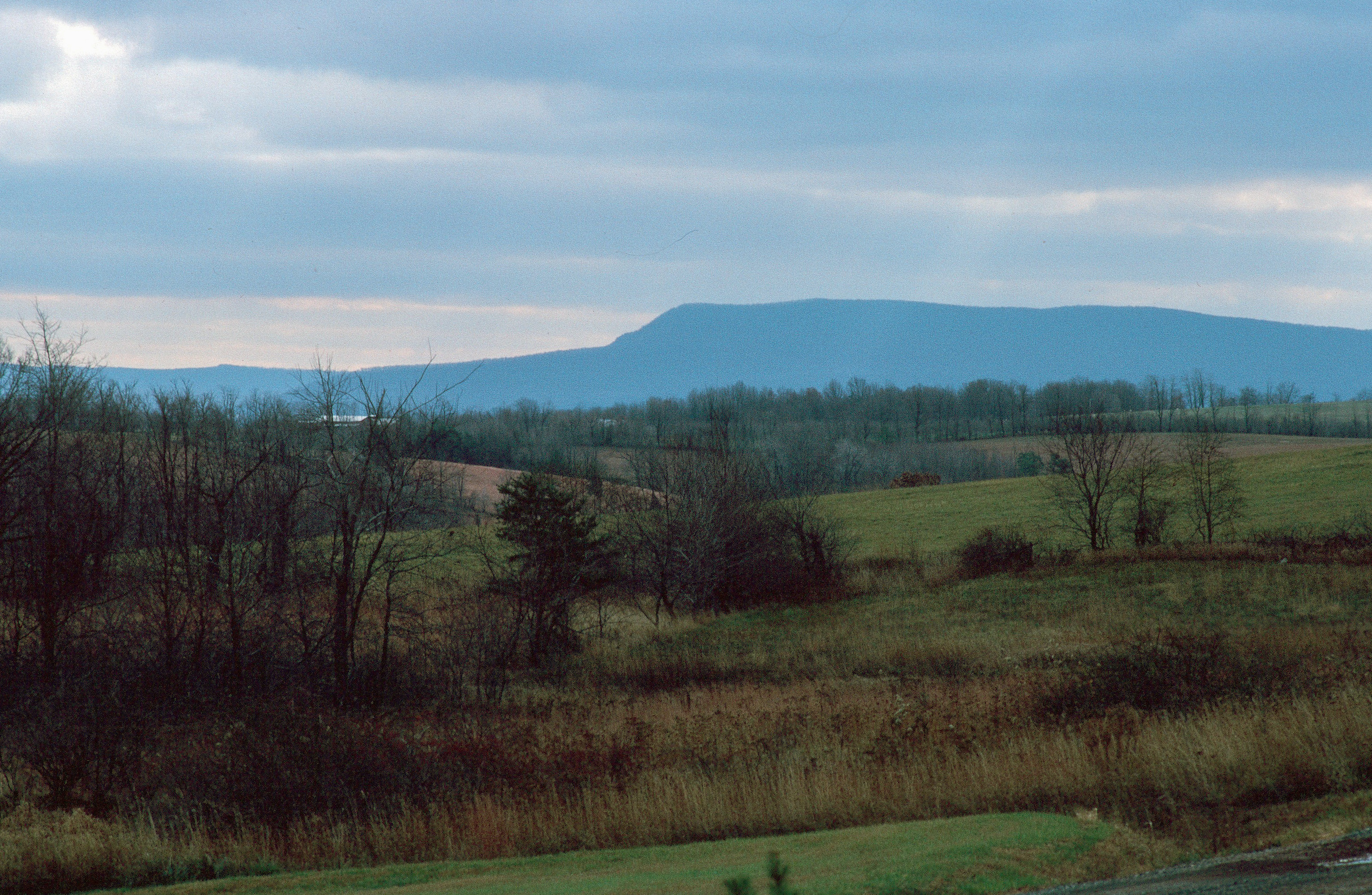
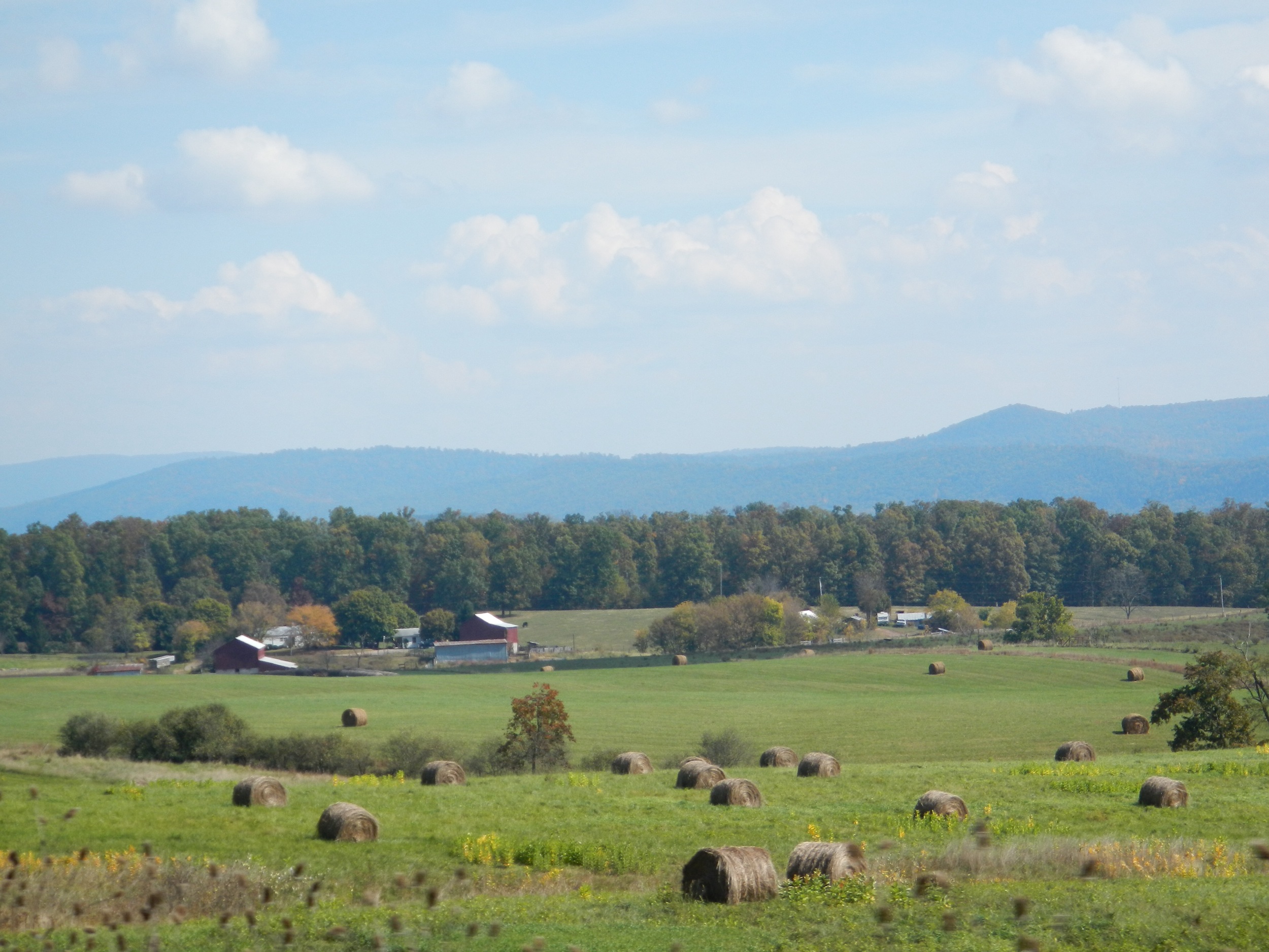
Farm near Romney (WV) November 12, 2011
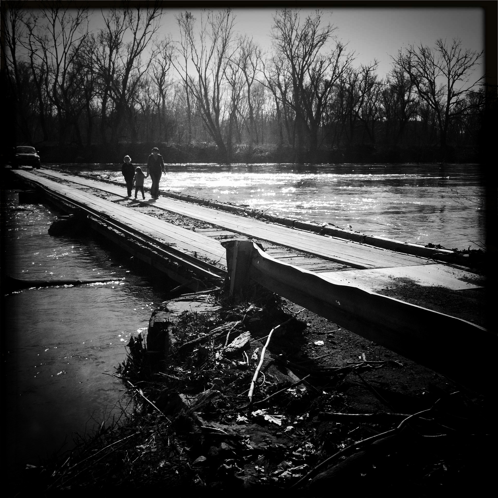
Bridge over the Potomac River

#Hiking among the #spruce #trees with Dad along Seneca Creek in #wildwetandwonderful #wv #westvirginia #senecacreek #spruceknob #woods #forest

A Good Year For Splendid Clubtails - 2
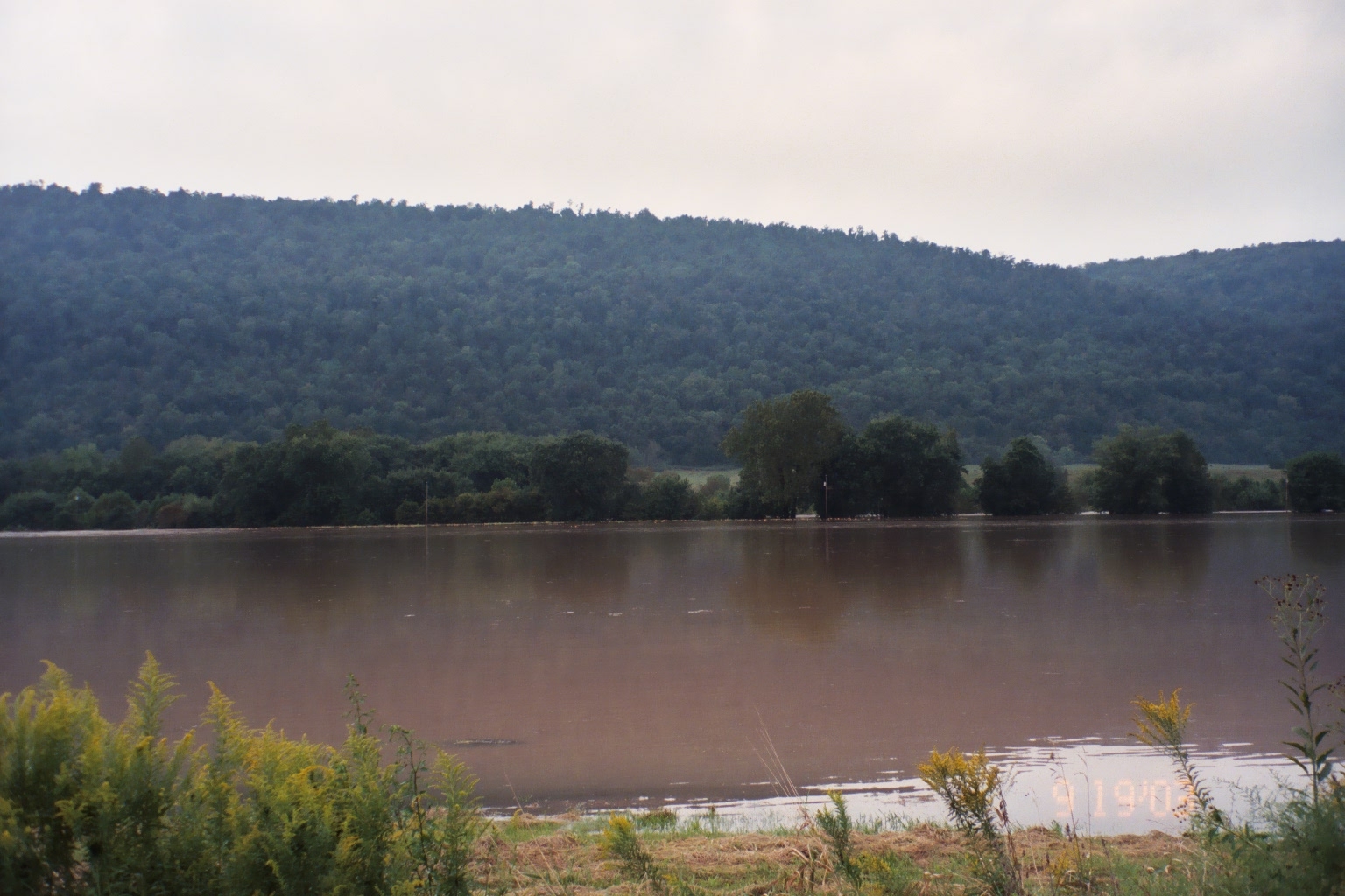
Hurricane Isabel Flooding, Potomac Eagle, WV-September 2003
Camera Roll-1034
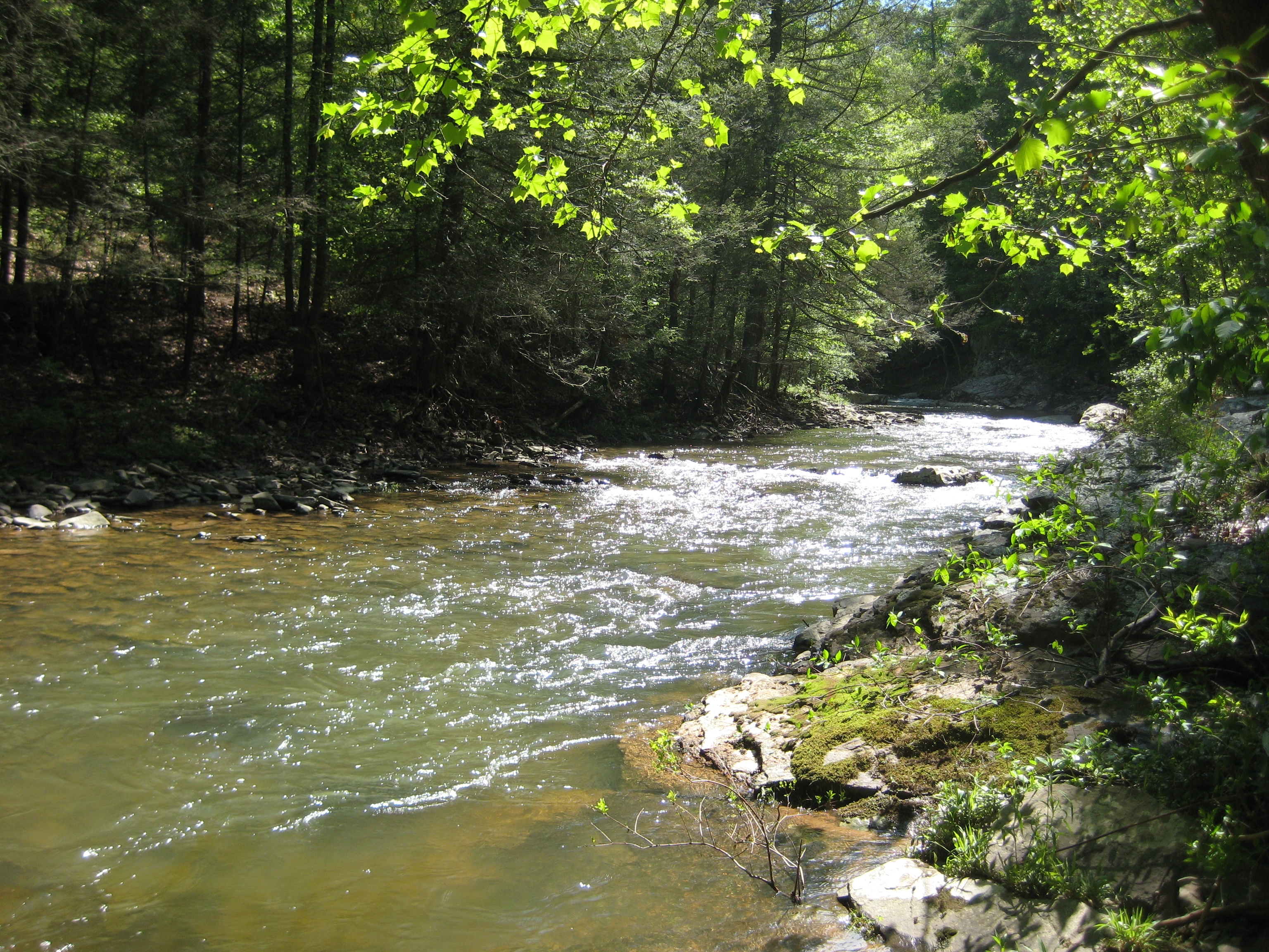
Tearcoat Creek
Camera Roll-1036
20100513 12 Maryland
Topographic Map of Brocket Dr, Springfield, WV, USA
Find elevation by address:

Places near Brocket Dr, Springfield, WV, USA:
Our Lane
Springfield Pike, Springfield, WV, USA
1541 Springfield Pike
1541 Springfield Pike
1541 Springfield Pike
Springfield
West Lake Drive
89 W Lake Dr
89 W Lake Dr
Springfield
Gore
572 Crystal Valley Dr
Levels
Oldtown
1100 Longview Farms Ln
18627 Lower Town Creek Rd Se
3, WV, USA
Lawyer Lane
342 E Redstone Trail
342 E Redstone Trail
Recent Searches:
- Elevation of Corso Fratelli Cairoli, 35, Macerata MC, Italy
- Elevation of Tallevast Rd, Sarasota, FL, USA
- Elevation of 4th St E, Sonoma, CA, USA
- Elevation of Black Hollow Rd, Pennsdale, PA, USA
- Elevation of Oakland Ave, Williamsport, PA, USA
- Elevation of Pedrógão Grande, Portugal
- Elevation of Klee Dr, Martinsburg, WV, USA
- Elevation of Via Roma, Pieranica CR, Italy
- Elevation of Tavkvetili Mountain, Georgia
- Elevation of Hartfords Bluff Cir, Mt Pleasant, SC, USA