Elevation of Oldtown, MD, USA
Location: United States > Maryland > Allegany County > 2, Oldtown >
Longitude: -78.611506
Latitude: 39.5416849
Elevation: 174m / 571feet
Barometric Pressure: 99KPa
Elevation Map:
Satellite Map:
Related Photos:

View From The Green Ridge

Symmetry: View through Historic Culvert 217

Into The Depths

Green Ridge State Forest Vista

Tunnel View

Q249 WB @ Carothers Tunnel

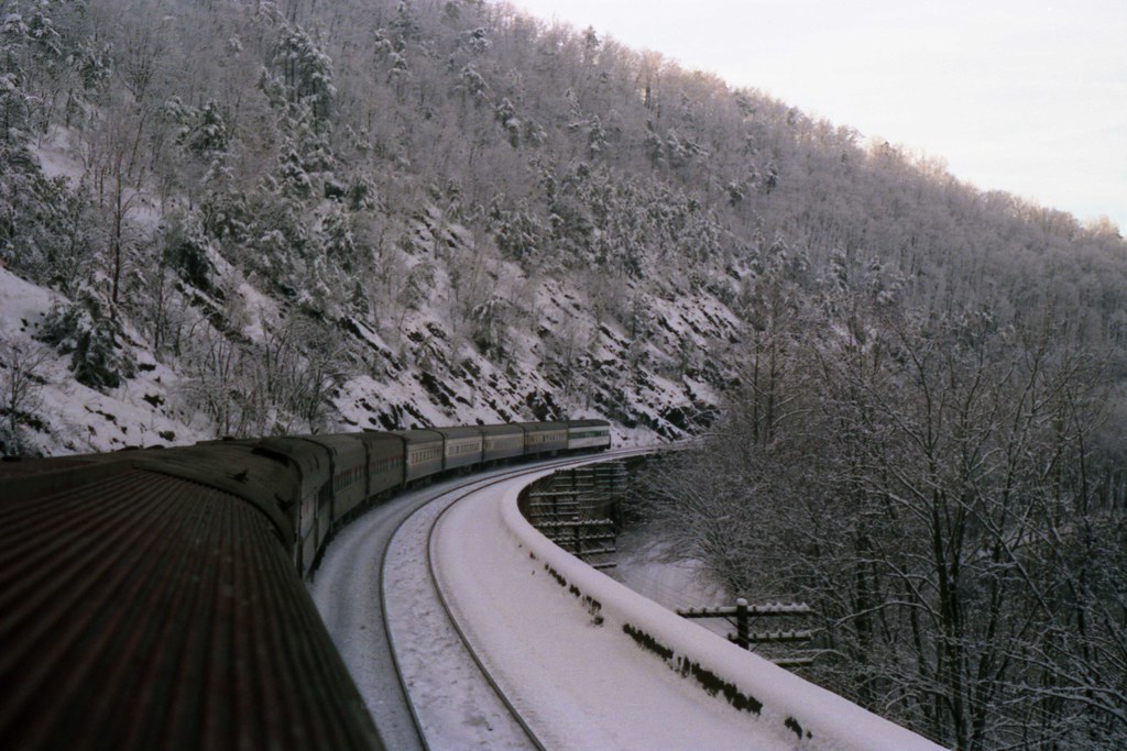
Freight Through a Tunnel
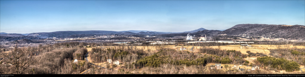
View Of Cumberland, Maryland From Nearby West Virginia Hill

Log Roll Overlook - Southwest

Log Roll Overlook - Northwest
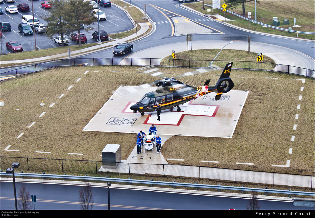
Every Second Counts

Froggy McFrogster
Magnolia Cut-Off

Magnolia Bridges

East Portal View

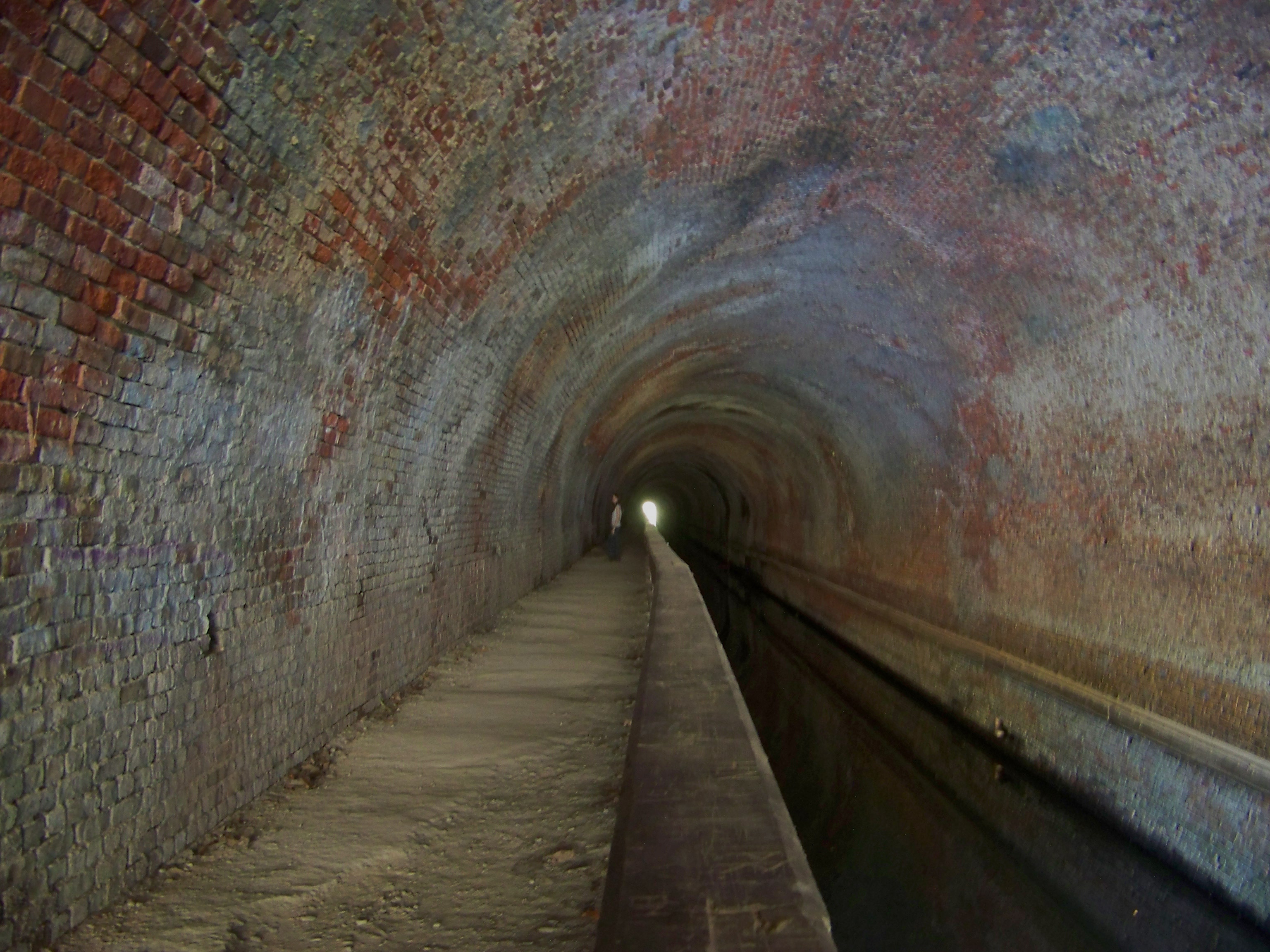
C&O Canal, Paw Paw Tunnel East End

Magnolia Bridge

Banner's Overlook

IMG_2342.JPG
In the Tunnel

Warrior Mountain WMA

MAGNOLIA CROSSING

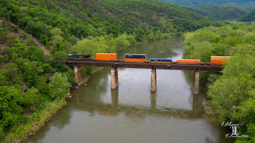
CSX Q216-28 - Paw Paw, WV

THE WALL

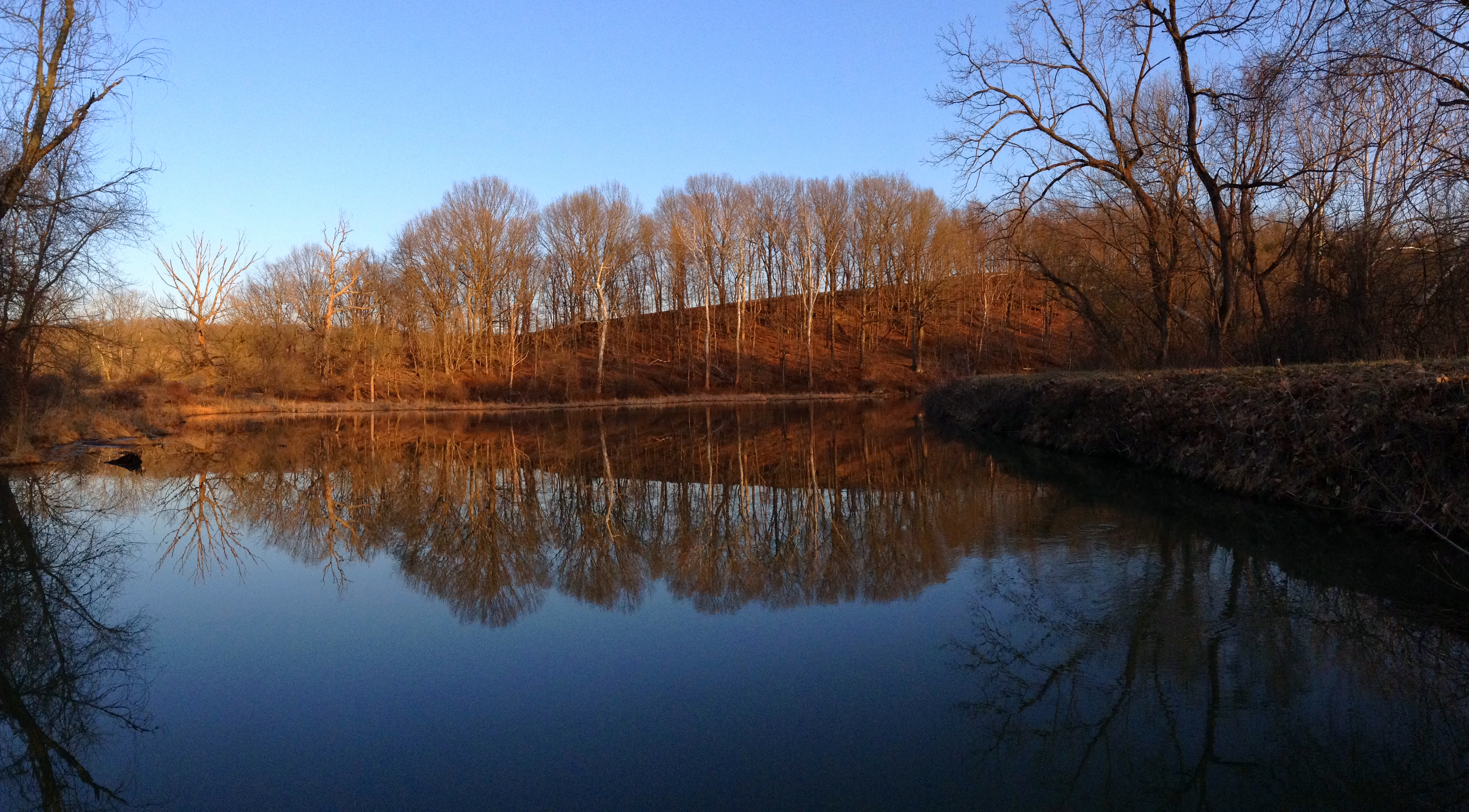
Reflection in water (2)

Amtrak 30 - Paw Paw, WV
C&O Canal, Oldtown, MD
CSX Q016 - Paw Paw, WV

The west in West Virginia

Last night here and so many stars. I will miss this place till next summer. #Camping #Landscape #REI1440Project

C&O Canal National Historical Park, Maryland

C&O Canal National Historical Park, Maryland

C&O Canal National Historical Park, Maryland

C&O Canal National Historical Park, Maryland

C&O Canal National Historic Park, Maryland

C&O Canal National Historic Park, Maryland

C&O Canal National Historic Park, Maryland

C&O Canal National Historic Park, Maryland

C&O Canal National Historic Park, Maryland
Topographic Map of Oldtown, MD, USA
Find elevation by address:

Places near Oldtown, MD, USA:
18627 Lower Town Creek Rd Se
89 W Lake Dr
89 W Lake Dr
West Lake Drive
Levels
1731 Brocket Dr
3, WV, USA
Our Lane
Springfield
Springfield Pike, Springfield, WV, USA
1541 Springfield Pike
1541 Springfield Pike
1541 Springfield Pike
Springfield
342 E Redstone Trail
342 E Redstone Trail
Gore
Lawyer Lane
Paw Paw
1700 Tower Rd
Recent Searches:
- Elevation of Corso Fratelli Cairoli, 35, Macerata MC, Italy
- Elevation of Tallevast Rd, Sarasota, FL, USA
- Elevation of 4th St E, Sonoma, CA, USA
- Elevation of Black Hollow Rd, Pennsdale, PA, USA
- Elevation of Oakland Ave, Williamsport, PA, USA
- Elevation of Pedrógão Grande, Portugal
- Elevation of Klee Dr, Martinsburg, WV, USA
- Elevation of Via Roma, Pieranica CR, Italy
- Elevation of Tavkvetili Mountain, Georgia
- Elevation of Hartfords Bluff Cir, Mt Pleasant, SC, USA