Elevation of Spring Grove, IA, USA
Location: United States > Iowa > Linn County >
Longitude: -91.656637
Latitude: 42.244047
Elevation: 289m / 948feet
Barometric Pressure: 98KPa
Elevation Map:
Satellite Map:
Related Photos:

Land that I love

American Robin & Dandelions

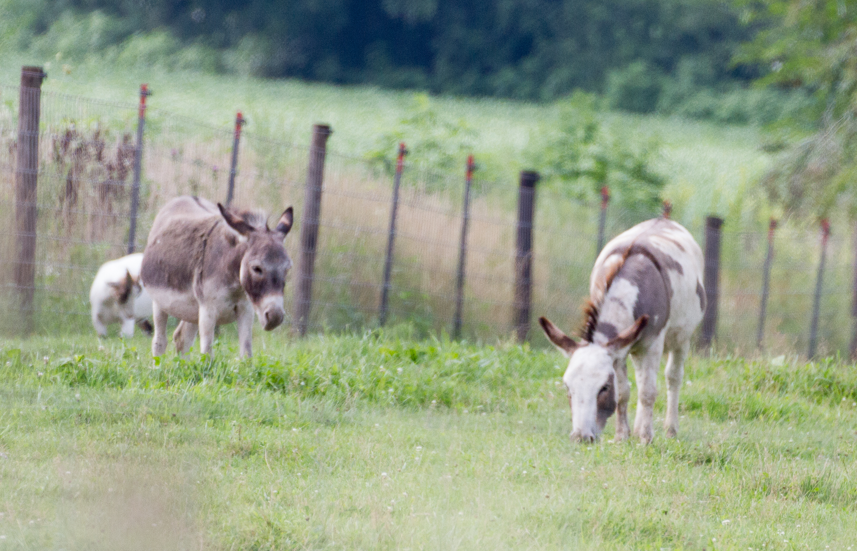
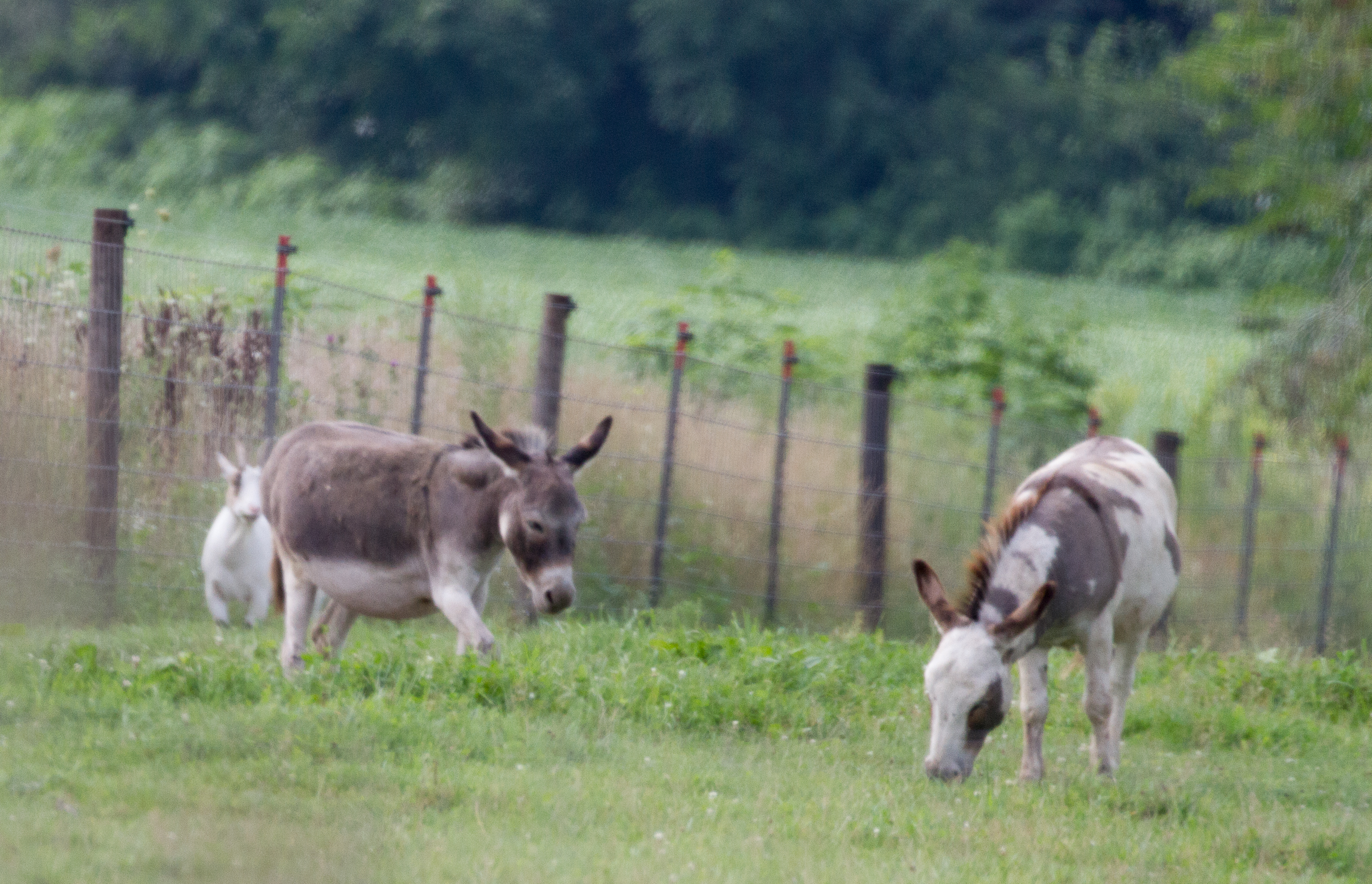
Below the Weeds
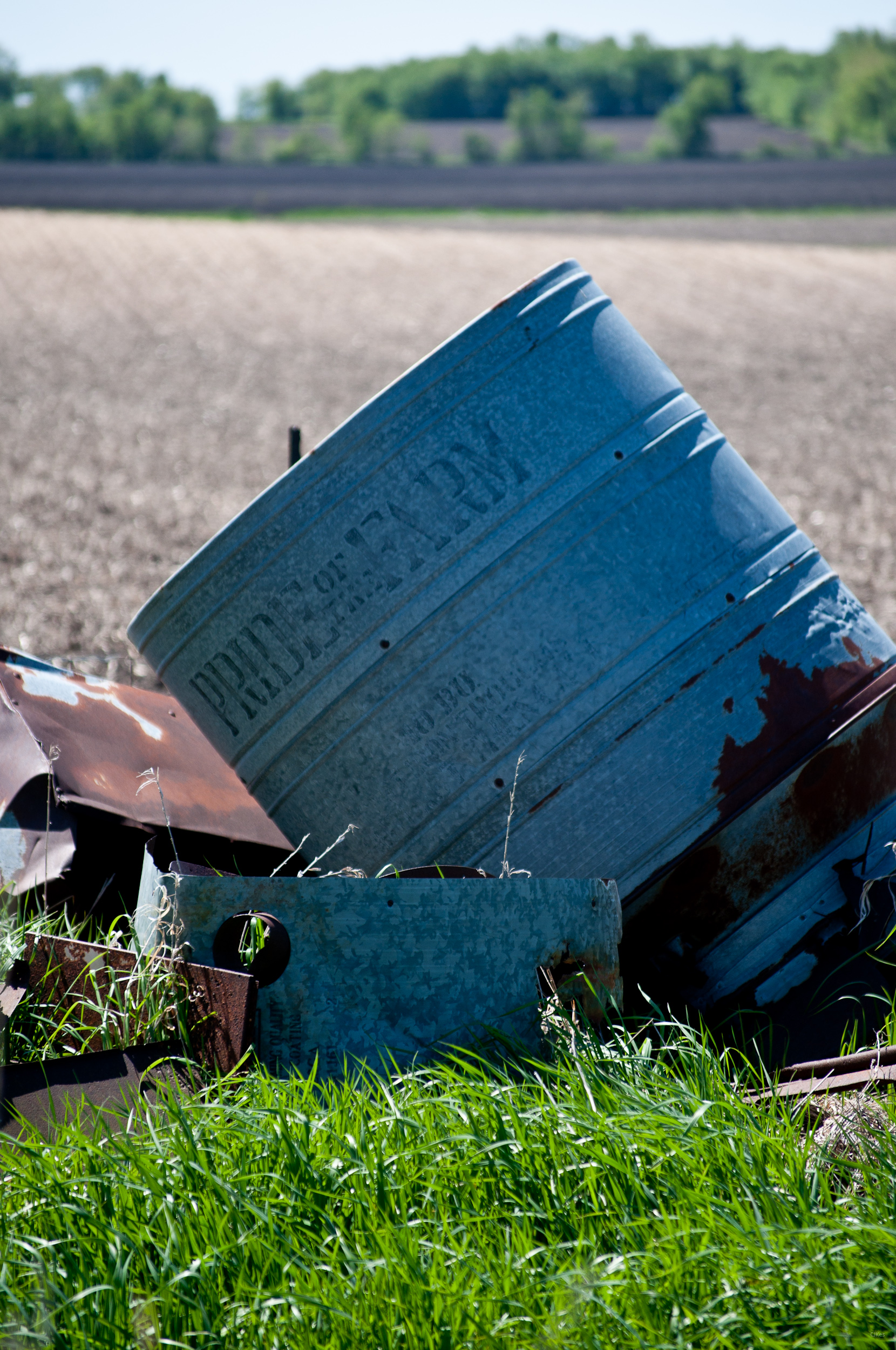
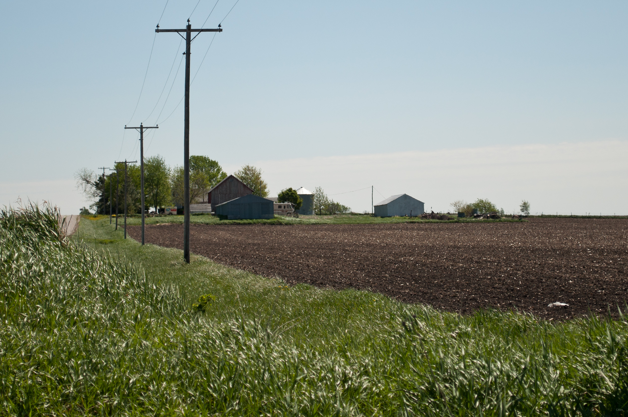
Pride of the Farm
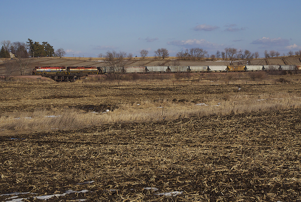
bcol s 46243
Upper Paris Bridge- Linn County IA (3)
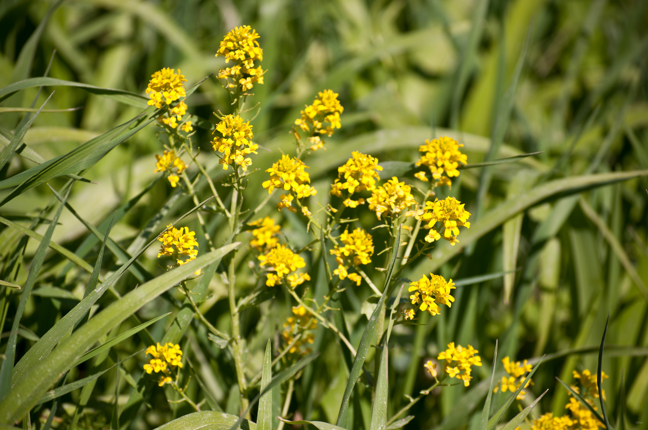
Yellow Flowers
Grandma & Dale's Farm
untitled20160730-22
untitled20160730-21

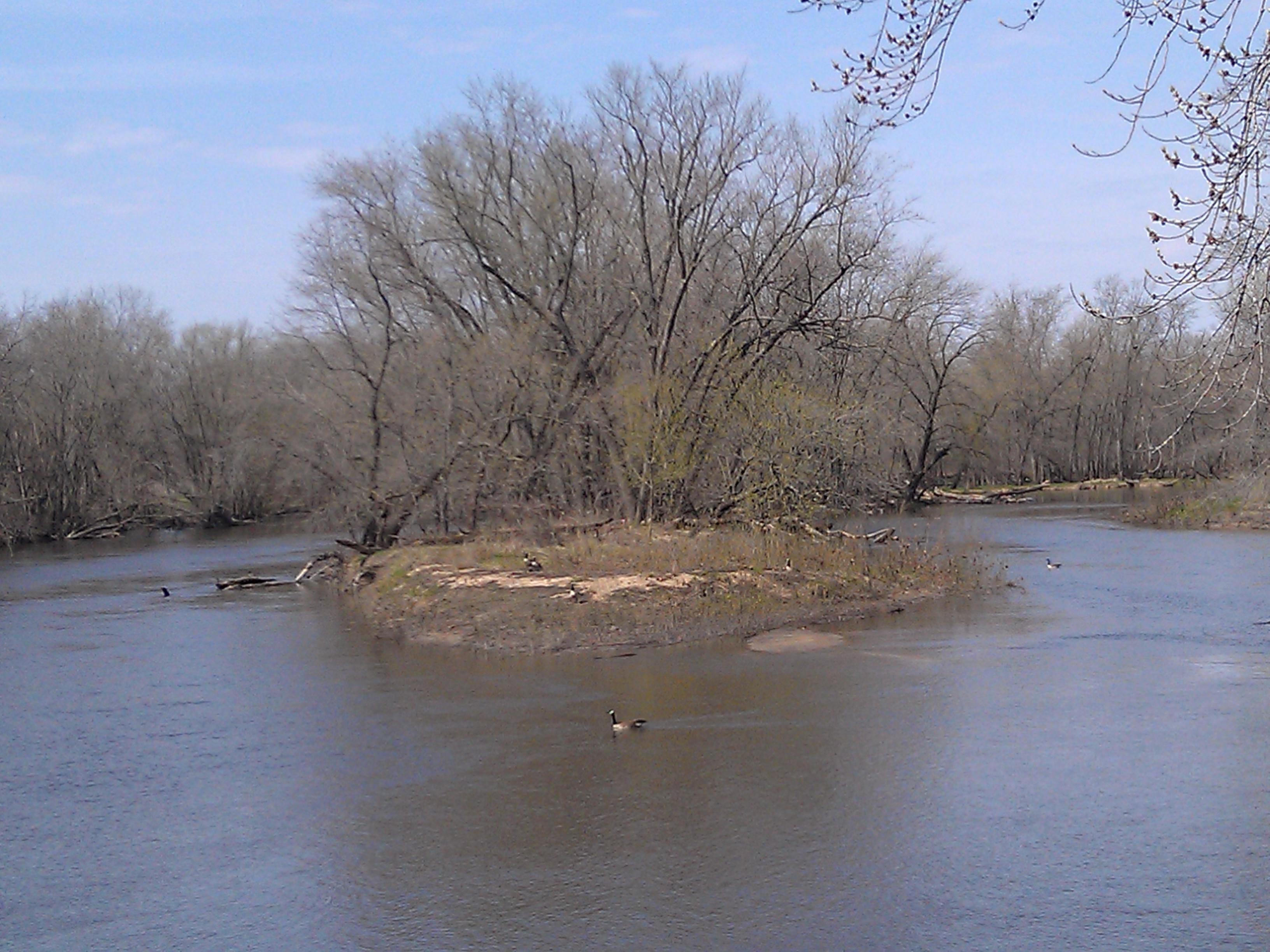
Geese enjoy the foggy morning
Topographic Map of Spring Grove, IA, USA
Find elevation by address:

Places in Spring Grove, IA, USA:
Places near Spring Grove, IA, USA:
Main St, Troy Mills, IA, USA
Troy Mills
4034 Walker Rd
Jackson
Grant
Walker, IA, USA
Greene St, Walker, IA, USA
Walker
Coggon
E Main St, Coggon, IA, USA
E State St, Center Point, IA, USA
Central City
Co Hwy E16, Central City, IA, USA
Center Point
722 Summit St
Adams
3210 Quasqueton Ave
Cono
North St, Ryan, IA, USA
Ryan
Recent Searches:
- Elevation of Corso Fratelli Cairoli, 35, Macerata MC, Italy
- Elevation of Tallevast Rd, Sarasota, FL, USA
- Elevation of 4th St E, Sonoma, CA, USA
- Elevation of Black Hollow Rd, Pennsdale, PA, USA
- Elevation of Oakland Ave, Williamsport, PA, USA
- Elevation of Pedrógão Grande, Portugal
- Elevation of Klee Dr, Martinsburg, WV, USA
- Elevation of Via Roma, Pieranica CR, Italy
- Elevation of Tavkvetili Mountain, Georgia
- Elevation of Hartfords Bluff Cir, Mt Pleasant, SC, USA