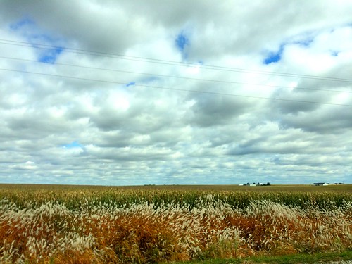
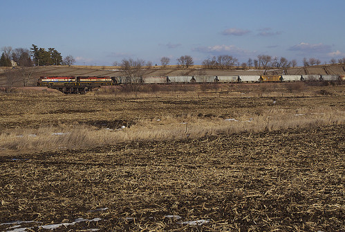
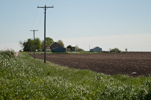
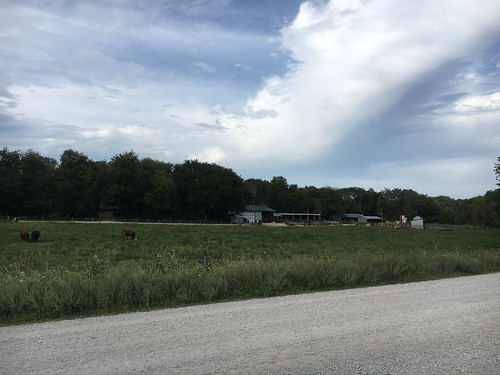
Elevation of Main St, Troy Mills, IA, USA
Location: United States > Iowa > Linn County > Spring Grove > Troy Mills >
Longitude: -91.682241
Latitude: 42.289944
Elevation: 266m / 873feet
Barometric Pressure: 98KPa
Related Photos:
Topographic Map of Main St, Troy Mills, IA, USA
Find elevation by address:

Places near Main St, Troy Mills, IA, USA:
Troy Mills
Spring Grove
4034 Walker Rd
Walker, IA, USA
3210 Quasqueton Ave
Greene St, Walker, IA, USA
Walker
Grant
Cono
E State St, Center Point, IA, USA
Center Point
722 Summit St
Adams
Jackson
Coggon
E Main St, Coggon, IA, USA
Central City
Co Hwy E16, Central City, IA, USA
Winthrop
Hamilton St, Winthrop, IA, USA
Recent Searches:
- Elevation of Corso Fratelli Cairoli, 35, Macerata MC, Italy
- Elevation of Tallevast Rd, Sarasota, FL, USA
- Elevation of 4th St E, Sonoma, CA, USA
- Elevation of Black Hollow Rd, Pennsdale, PA, USA
- Elevation of Oakland Ave, Williamsport, PA, USA
- Elevation of Pedrógão Grande, Portugal
- Elevation of Klee Dr, Martinsburg, WV, USA
- Elevation of Via Roma, Pieranica CR, Italy
- Elevation of Tavkvetili Mountain, Georgia
- Elevation of Hartfords Bluff Cir, Mt Pleasant, SC, USA


