Elevation of Walker, IA, USA
Location: United States > Iowa > Linn County > Grant >
Longitude: -91.763618
Latitude: 42.2917355
Elevation: 283m / 928feet
Barometric Pressure: 98KPa
Elevation Map:
Satellite Map:
Related Photos:
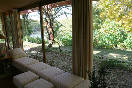
Cedar Rock view from Garden Room

Cedar Rock State Park - view
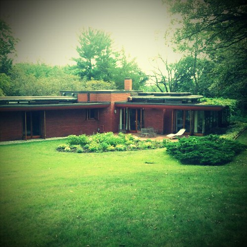
Cedar Rock
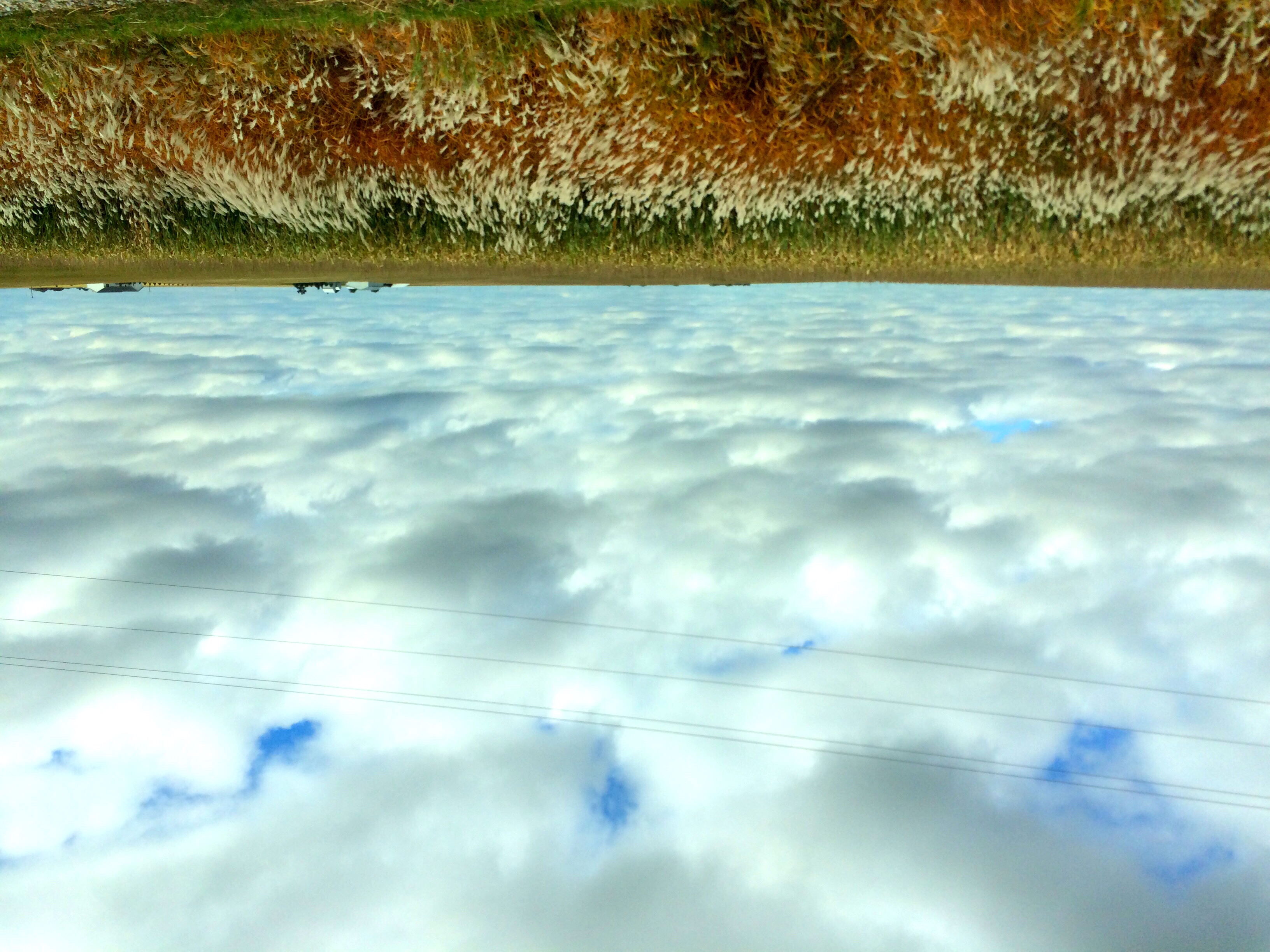
Land that I love
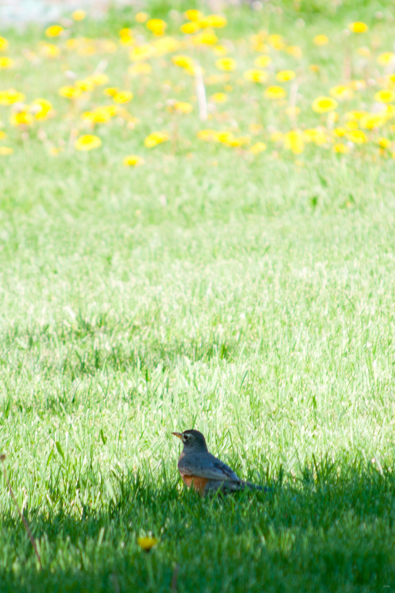
American Robin & Dandelions
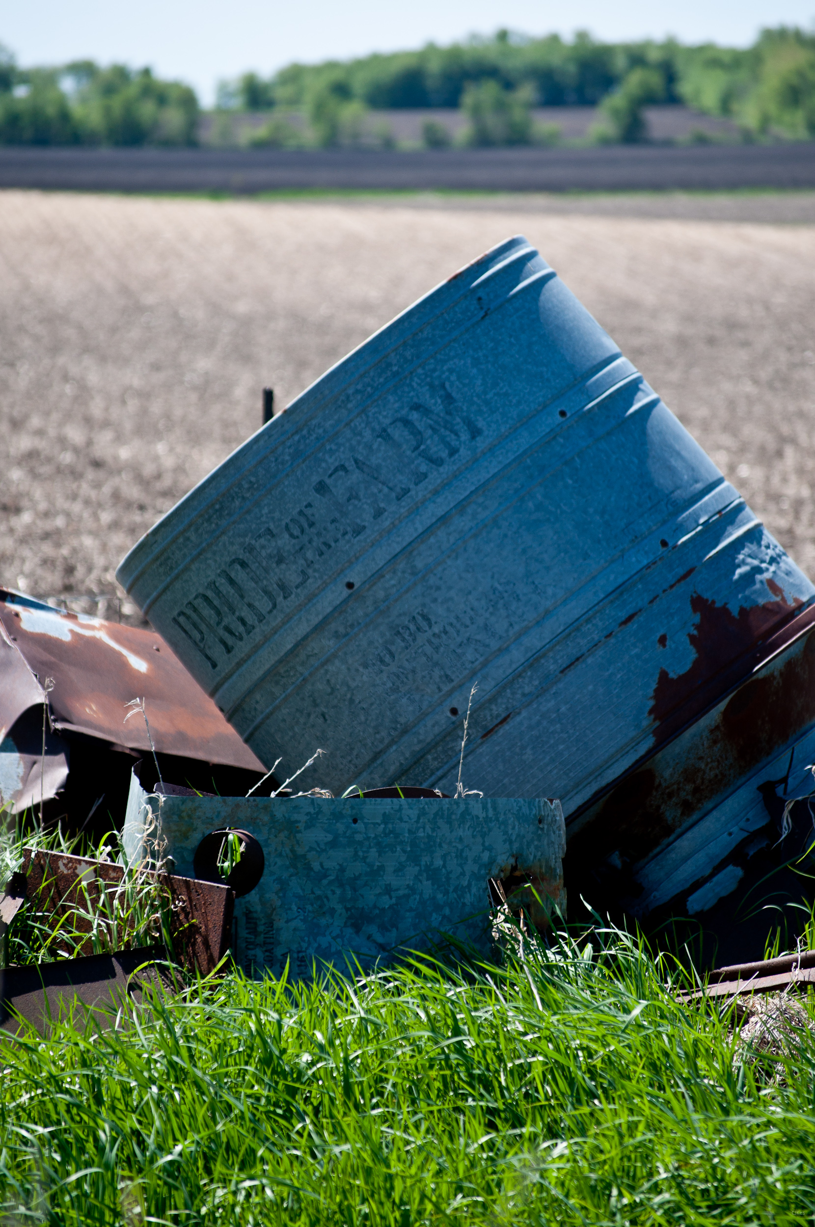
Pride of the Farm

Below the Weeds
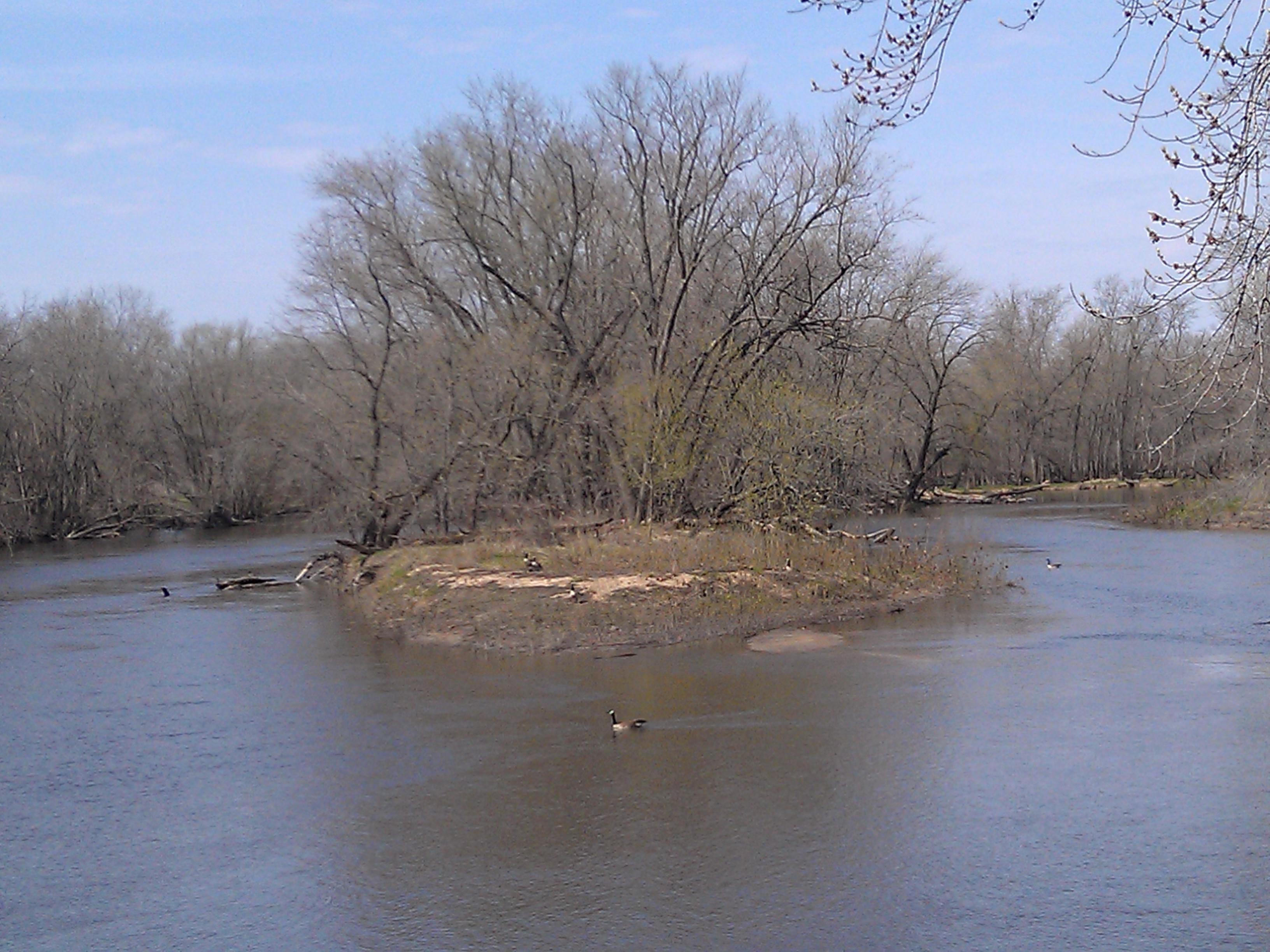
Upper Paris Bridge- Linn County IA (3)
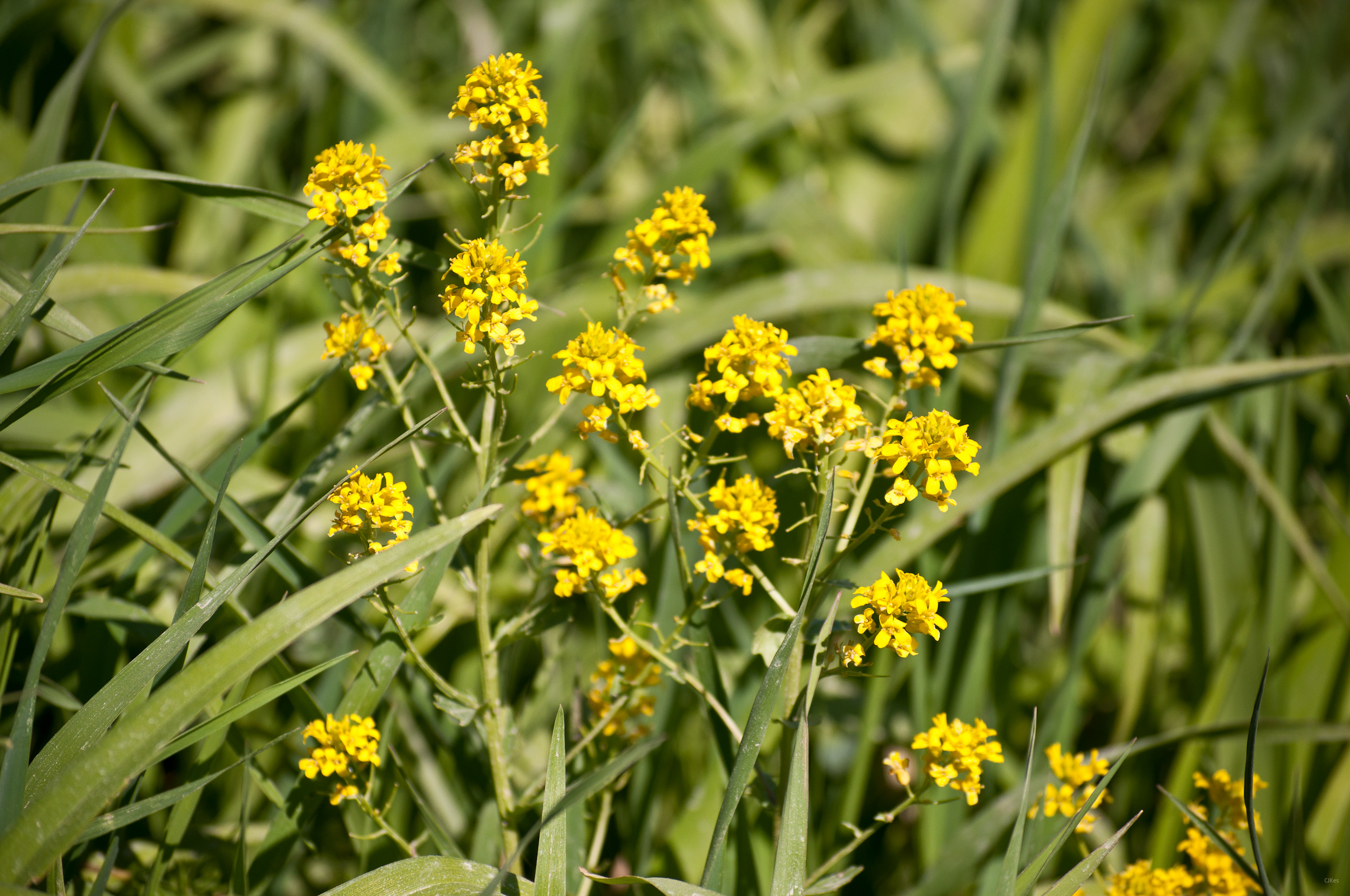
Yellow Flowers
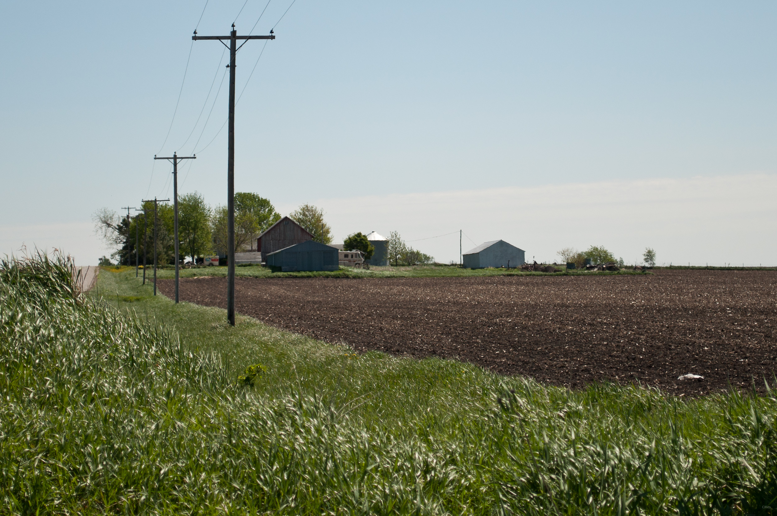
Grandma & Dale's Farm
untitled20160730-22
untitled20160730-21
Topographic Map of Walker, IA, USA
Find elevation by address:

Places near Walker, IA, USA:
4034 Walker Rd
Greene St, Walker, IA, USA
Walker
3210 Quasqueton Ave
Grant
Cono
Main St, Troy Mills, IA, USA
Troy Mills
E State St, Center Point, IA, USA
Center Point
722 Summit St
Spring Grove
Winthrop
Hamilton St, Winthrop, IA, USA
Cedar River
Harrison
Independence
Buchanan County
Adams
Byron
Recent Searches:
- Elevation of Corso Fratelli Cairoli, 35, Macerata MC, Italy
- Elevation of Tallevast Rd, Sarasota, FL, USA
- Elevation of 4th St E, Sonoma, CA, USA
- Elevation of Black Hollow Rd, Pennsdale, PA, USA
- Elevation of Oakland Ave, Williamsport, PA, USA
- Elevation of Pedrógão Grande, Portugal
- Elevation of Klee Dr, Martinsburg, WV, USA
- Elevation of Via Roma, Pieranica CR, Italy
- Elevation of Tavkvetili Mountain, Georgia
- Elevation of Hartfords Bluff Cir, Mt Pleasant, SC, USA