Elevation of Southern Alps, Canterbury, New Zealand
Location: New Zealand > Canterbury > Mackenzie District > Mount Cook National Park >
Longitude: 170.5
Latitude: -43.5
Elevation: 1010m / 3314feet
Barometric Pressure: 90KPa
Elevation Map:
Satellite Map:
Related Photos:
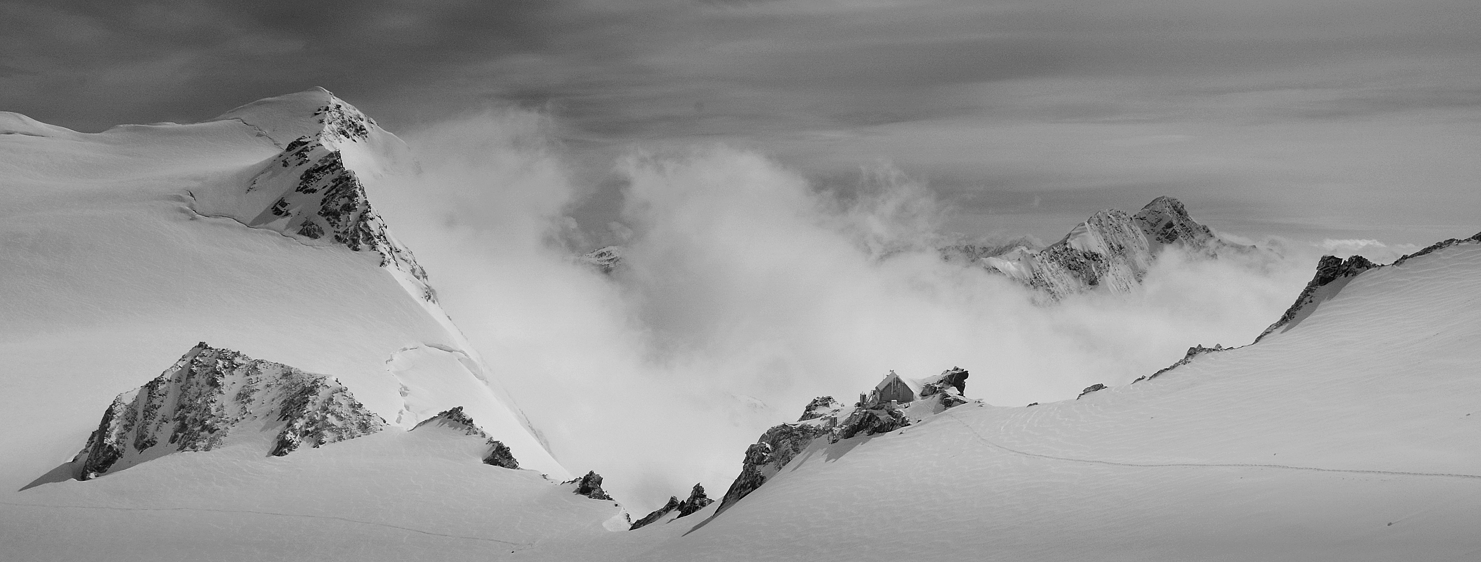
Kelman Hut - view large
Topographic Map of Southern Alps, Canterbury, New Zealand
Find elevation by address:

Places near Southern Alps, Canterbury, New Zealand:
Mount Sibbald
Mount D'archiac
Sibbald
Mount Hutton
Mount Adams
The Thumbs
Mount Kensington
49 Main Rd
Whataroa
Newton Peak
Franz Josef Glacier
The Nuns Veil
Franz Josef Glacier
Ramsay
Gammack
Harihari
102 Main Rd
Mount Tasman
Mount Cook
The Warrior
Recent Searches:
- Elevation of Corso Fratelli Cairoli, 35, Macerata MC, Italy
- Elevation of Tallevast Rd, Sarasota, FL, USA
- Elevation of 4th St E, Sonoma, CA, USA
- Elevation of Black Hollow Rd, Pennsdale, PA, USA
- Elevation of Oakland Ave, Williamsport, PA, USA
- Elevation of Pedrógão Grande, Portugal
- Elevation of Klee Dr, Martinsburg, WV, USA
- Elevation of Via Roma, Pieranica CR, Italy
- Elevation of Tavkvetili Mountain, Georgia
- Elevation of Hartfords Bluff Cir, Mt Pleasant, SC, USA